The best running trails around Egenhausen
4.9
(20)
213
runners
33
runs
Jogging around Egenhausen offers diverse terrain for runners, situated in Baden-Württemberg, Germany. The region features an elevation range from 458 to 626 meters above sea level, providing varied topography with both ascents and flatter sections. The landscape transitions between deep forests, open fields, and orchards, including federally protected areas like the Egenhäuser Kapf at Bömbachtal nature reserve. Jogging routes often follow well-maintained forest and meadow paths, offering a mix of shaded trails and expansive views.
Best jogging routes around Egenhausen
…Last updated: July 5, 2026
20
runners
6.36km
00:41
70m
70m
Moderate run. Good fitness required. Mostly paved surfaces. Suitable for all skill levels.
8
runners
Moderate run. Good fitness required. Mostly paved surfaces. Suitable for all skill levels.

Sign up for free
5.0
(2)
10
runners
6.41km
00:43
150m
150m
Moderate run. Good fitness required. Mostly paved surfaces. Suitable for all skill levels.
4
runners
25.2km
02:46
320m
320m
Hard run. Very good fitness required. Mostly paved surfaces. Suitable for all skill levels.
6
runners
Moderate run. Good fitness required. Mostly paved surfaces. Suitable for all skill levels.
Get access to more routes and recommendations from other explorers.
Sign up for free
Already have an account?
Our route recommendations are based on thousands of hikes, rides, and runs completed by other people on komoot.
Start today with a free account
Your next adventure awaits.
Login or Signup

Tips from the Community

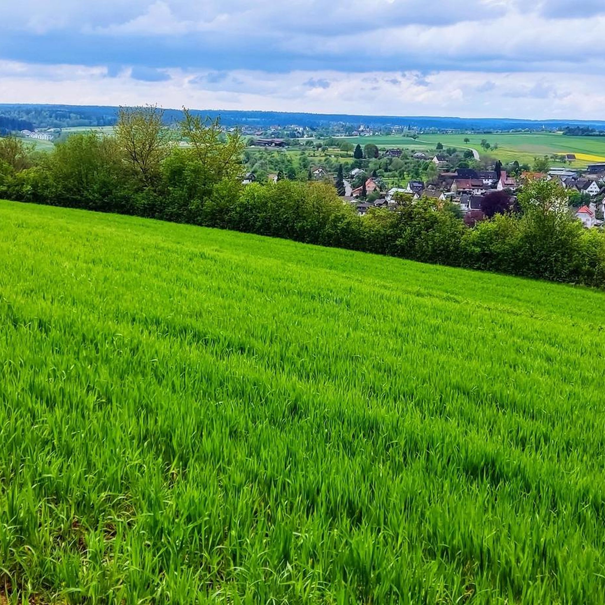
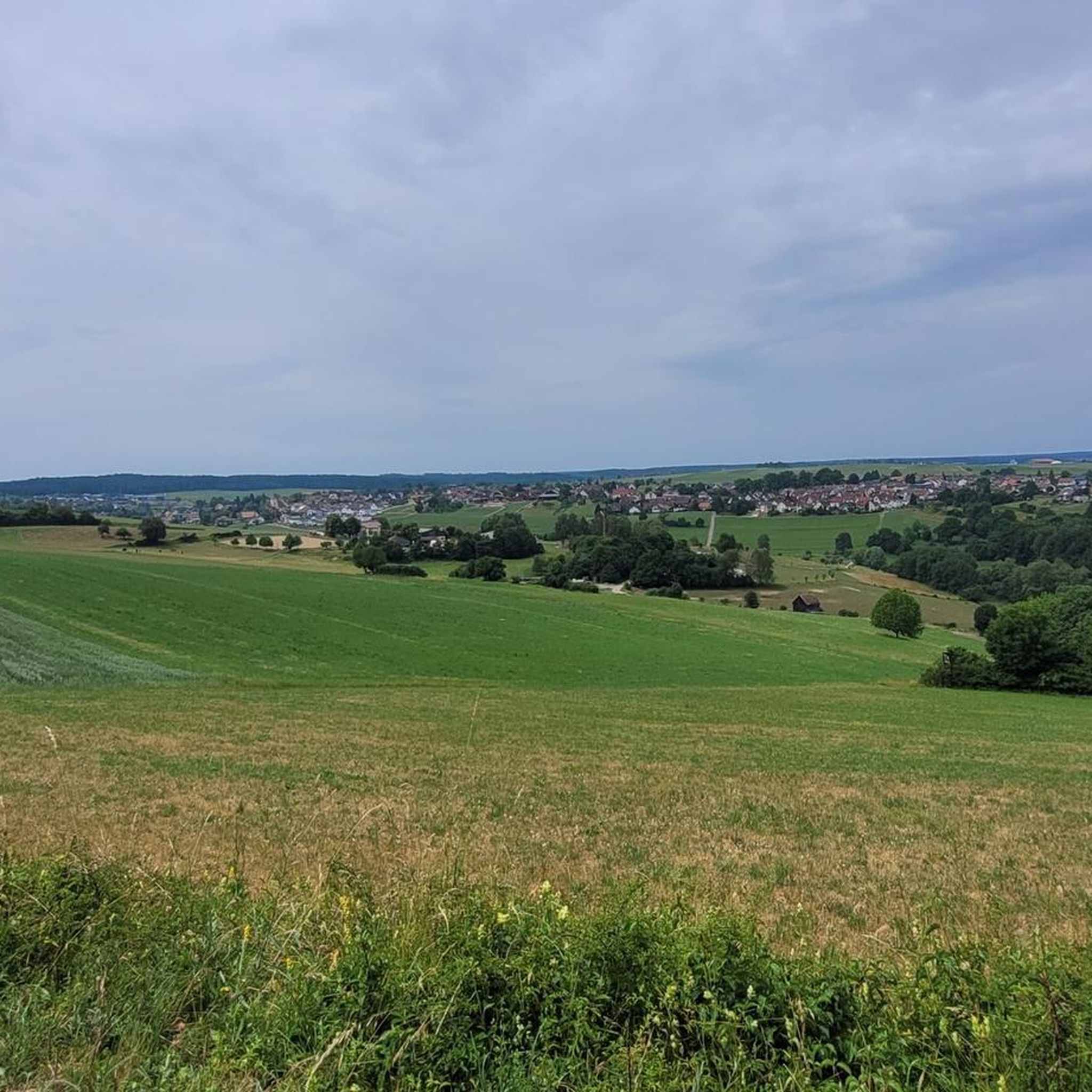
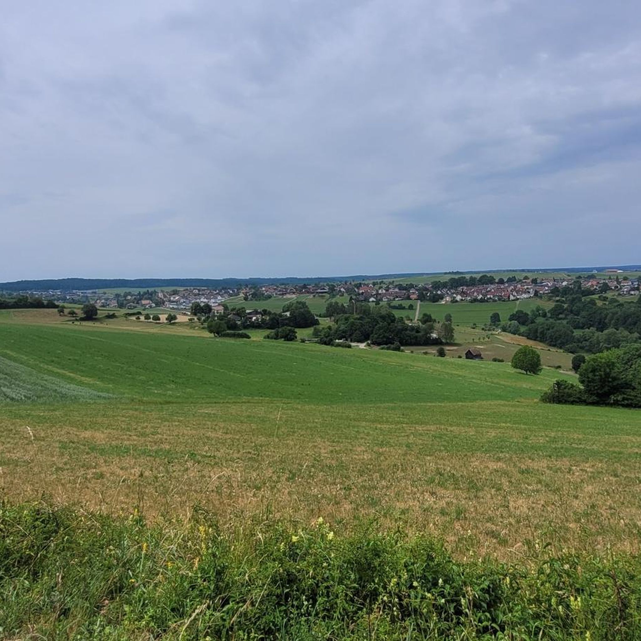
Bench located directly on a field path under a large tree, with a view towards Egenhausen and Egenhäuser Kapf.
6
0

Beautiful place with a magnificent view
0
0

Beautifully painted by children's hands.
0
0
A place to sit with a view. What more could you want?
0
0

komoot has improved terribly 🙈 Should be "Blick vom Kapf auf Egenhausen "
1
0

The Kapf above Egenhausen appears calm and unassuming today, almost like an ordinary viewpoint. But it was precisely here that an anti-aircraft position was located during the Second World War. The elevated location was deliberately used to monitor and defend the airspace. Little is visible today of the facilities from that time; much is overgrown or has long since been dismantled. This is precisely what makes the place interesting: the history is not obvious, but rather lies between the lines of the landscape. Anyone who engages with it quickly realizes that this section is more than just another point on the map.
1
0

The Egenhäuser Kapf is very reminiscent of the Venusberg in Aidlingen. Juniper bushes and silver thistles are the prominent plants on the barren soils. From up here, there are always beautiful views of Egenhausen and the Black Forest. You can drive up quite far by car. There are plenty of parking spaces at the top along the road.
9
0
The anti-aircraft position belonged to the Western Air Defence Zone and was built in 1939. It consisted of four standing areas for heavy anti-aircraft guns, four blockhouses for accommodating the operating personnel and command posts 1 and 2. All structures of the anti-aircraft position on the Egenhäuser Kapf have been listed as historical monuments since 2005. Today, access to the underground rooms is closed off by two steel doors. Through the small windows you can only see two empty rooms.
11
0
Frequently Asked Questions
How many running routes are available around Egenhausen?
Egenhausen offers nearly 30 diverse running routes, ranging from easy loops to more challenging long-distance trails. This includes 4 easy routes, 22 moderate routes, and 2 difficult routes, catering to various fitness levels.
Are there any easy jogging routes suitable for beginners or families in Egenhausen?
Yes, Egenhausen has several easy jogging routes perfect for beginners or families. One option is the Egenhäuser Kapf – View from Egenhäuser Kapf loop from Egenhausen, an easy 3.1 km trail that offers a pleasant run without significant elevation changes.
What kind of terrain can I expect on the running trails in Egenhausen?
The running trails in Egenhausen feature a varied terrain, transitioning between deep forests, open fields, and orchards. You'll find a mix of well-maintained forest and meadow paths, offering soft surfaces ideal for running, alongside some paved sections. The region's elevation ranges from 458 to 626 meters, providing both challenging ascents and gentler, flatter runs.
Are there any circular running routes in Egenhausen?
Yes, many of the running routes in Egenhausen are circular, allowing you to start and finish at the same point. For example, the popular Panorama Trail Egenhausen – Egenhäuser Kapf loop from Egenhausen is a moderate 13.9 km circular route offering impressive views.
What natural attractions or landmarks can I see while jogging in Egenhausen?
While jogging in Egenhausen, you can discover several natural attractions. The region is home to federally protected areas like the Egenhäuser Kapf at Bömbachtal nature reserve, offering unique flora and fauna. You might also encounter the romantic Bömbach and Zinsbach valleys, or even the impressive natural monument known as the Teufelsloch, a narrow rock gorge with a thundering waterfall. For specific waterfalls, consider visiting the Waterfall at the Lenzinsägmühle or the Mossy Mini Waterfall.
Are there any routes that offer great viewpoints?
Absolutely! Egenhausen is known for its scenic views. The View from Egenhäuser Kapf loop from Egenhausen is a moderate 6.2 km route specifically designed to showcase the area's impressive vistas. You can also find great perspectives from highlights like the Bench at Hornberger Höhe (700 m) or the View from Erddeponie Hagenbuch.
What do other runners say about the trails in Egenhausen?
The running routes in Egenhausen are highly rated by the komoot community, with an average score of 4.9 stars from over 16 reviews. More than 180 runners have explored the varied terrain, often praising the diverse landscape, well-maintained paths, and the beautiful natural settings like the Egenhäuser Kapf.
Are there any long-distance running options for experienced runners?
Yes, for experienced runners seeking a challenge, Egenhausen offers longer and more difficult routes. The Playground at Bömbachsee – Spielberg Nature Trail loop from Egenhausen is a difficult 25.3 km trail that leads through the Bömbach valley, typically taking nearly 5 hours to complete. Another challenging option is the Bömbach Lake – Bömbachsee Forest Playground loop from Egenhausen, a difficult 17.1 km route.
Can I find routes that pass through nature reserves?
Yes, Egenhausen's unique location includes federally protected areas. The 'AugenBlick route Egenhausen' (mentioned in regional research) leads directly into the Heckengäu natural experience, encompassing the Kapf nature reserve, providing an immersive natural environment for your run.
Are there any routes that explore the local valleys?
Absolutely. Joggers can explore the picturesque Bömbach valley and the charming Zinsbachbach valley. These areas feature idyllic river courses and offer a wealth of scenic and cultural-historical highlights. The Playground at Bömbachsee – Spielberg Nature Trail loop from Egenhausen, for instance, takes you through the Bömbach valley.
What is the elevation range for running in Egenhausen?
Egenhausen's municipal area boasts an elevation range from 458 to 626 meters (1,503 to 2,054 feet) above sea level. This varied topography ensures a dynamic workout, with opportunities for both challenging ascents and gentler, flatter runs.
Most popular routes around Egenhausen
Most popular attractions around Egenhausen

Get inspired with the komoot mobile app


Explore more
Browse the best Running Trails & Routes in other regions.
