The best mountain hikes around Todtmoos
4.9
(10)
52
hikers
13
hikes
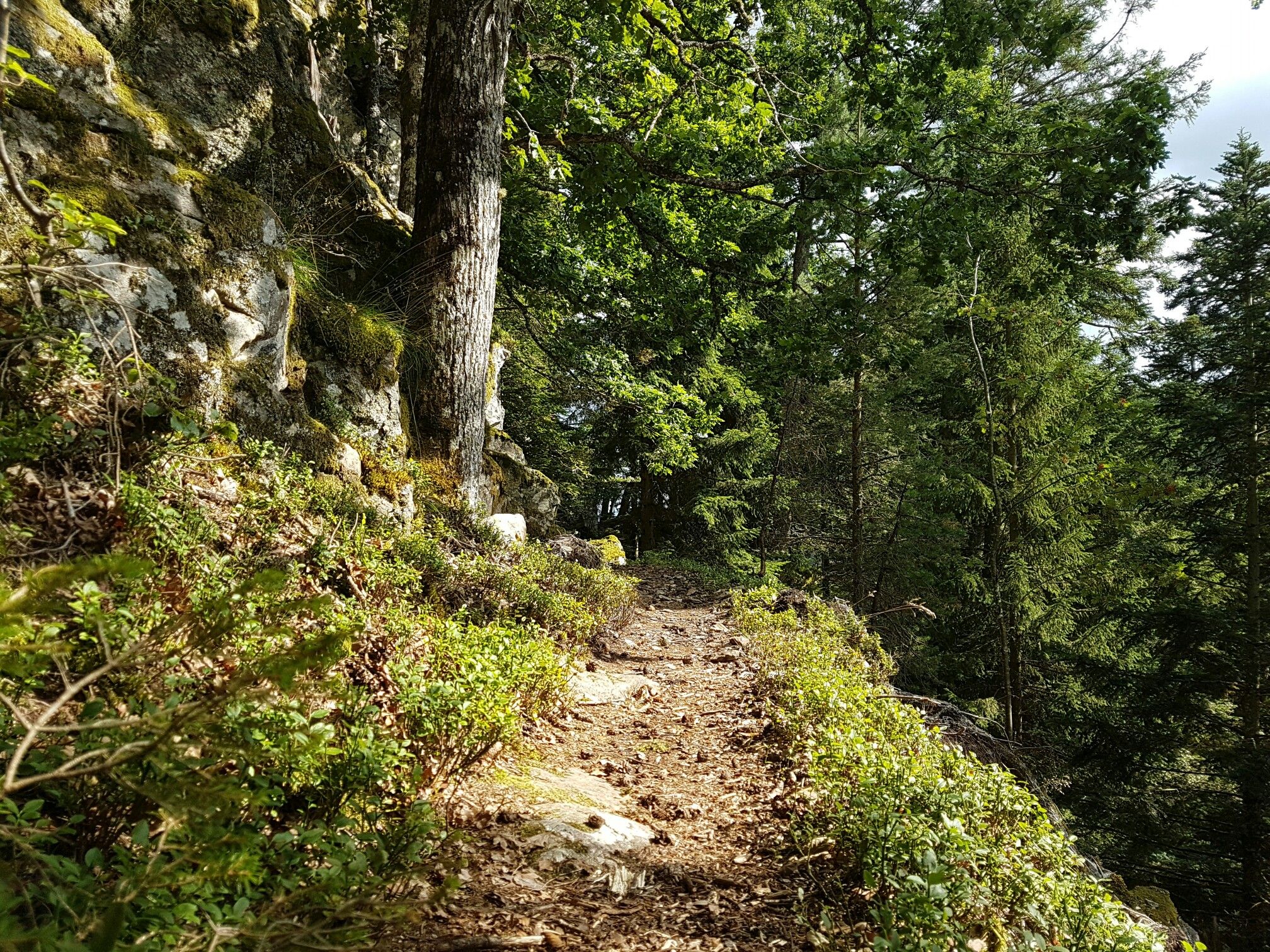
Mountaineering around Todtmoos, situated in the Black Forest, is characterized by its varied terrain, including dense woodlands, rolling hills, and elevated peaks. The region features well-defined trails that traverse forested slopes and open areas, offering diverse elevation changes. Waterfalls and river valleys are also prominent landscape features, contributing to the area's natural composition.
Best mountaineering routes around Todtmoos
- The most popular mountaineering route is Herzogenhorn Summit loop from Herzogenhorn, a 5.2 miles (8.4 km) trail that takes about 3…
Last updated: July 1, 2026
5.0
(2)
10
hikers
8.41km
02:59
480m
480m
Moderate mountaineering route. Good fitness required. Mostly accessible paths. Sure-footedness required.
5.0
(4)
9
hikers
12.1km
03:45
440m
450m
Moderate mountaineering route. Good fitness required. Easily-accessible paths. Suitable for all skill levels.

Sign up for free
1
hikers
18.2km
05:47
680m
680m
Hard mountaineering route. Very good fitness required. Mostly accessible paths. Sure-footedness required.
5.0
(2)
5
hikers
11.8km
04:10
650m
650m
Moderate mountaineering route. Good fitness required. Easily-accessible paths. Suitable for all skill levels.
4
hikers
22.8km
07:24
1,030m
1,030m
Hard mountaineering route. Very good fitness required. Mostly accessible paths. Sure-footedness required.
Get access to more routes and recommendations from other explorers.
Sign up for free
Already have an account?
Our route recommendations are based on thousands of hikes, rides, and runs completed by other people on komoot.
Start today with a free account
Your next adventure awaits.
Login or Signup
Popular around Todtmoos
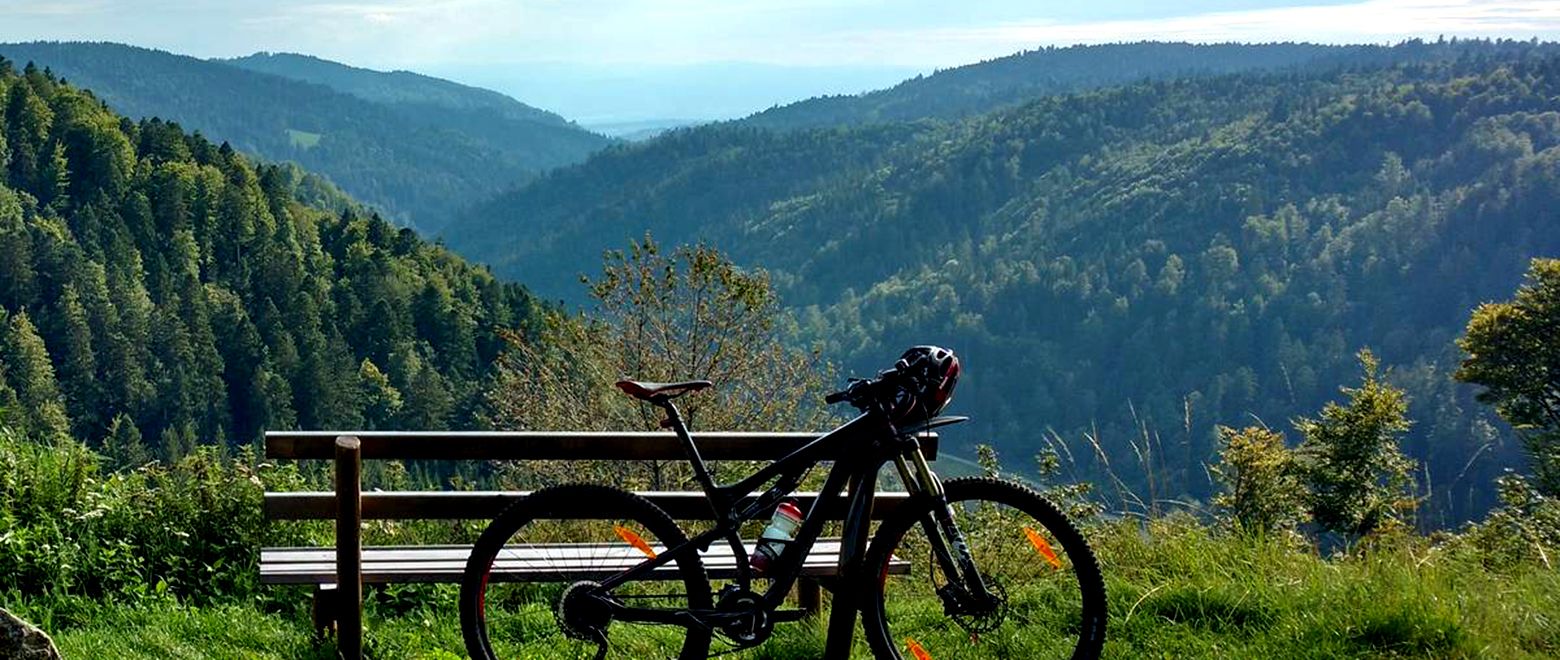
The Black Forest Crossing – From north to south in eight days
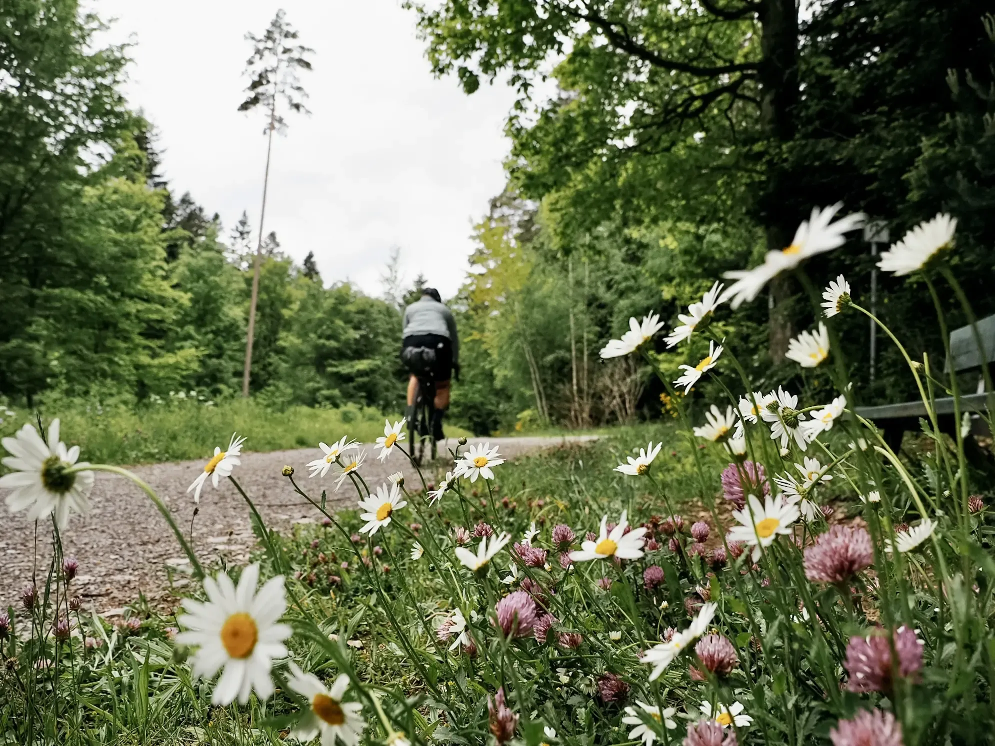
Naturparke-Gravel-Crossing: bikepacking in Baden-Württemberg
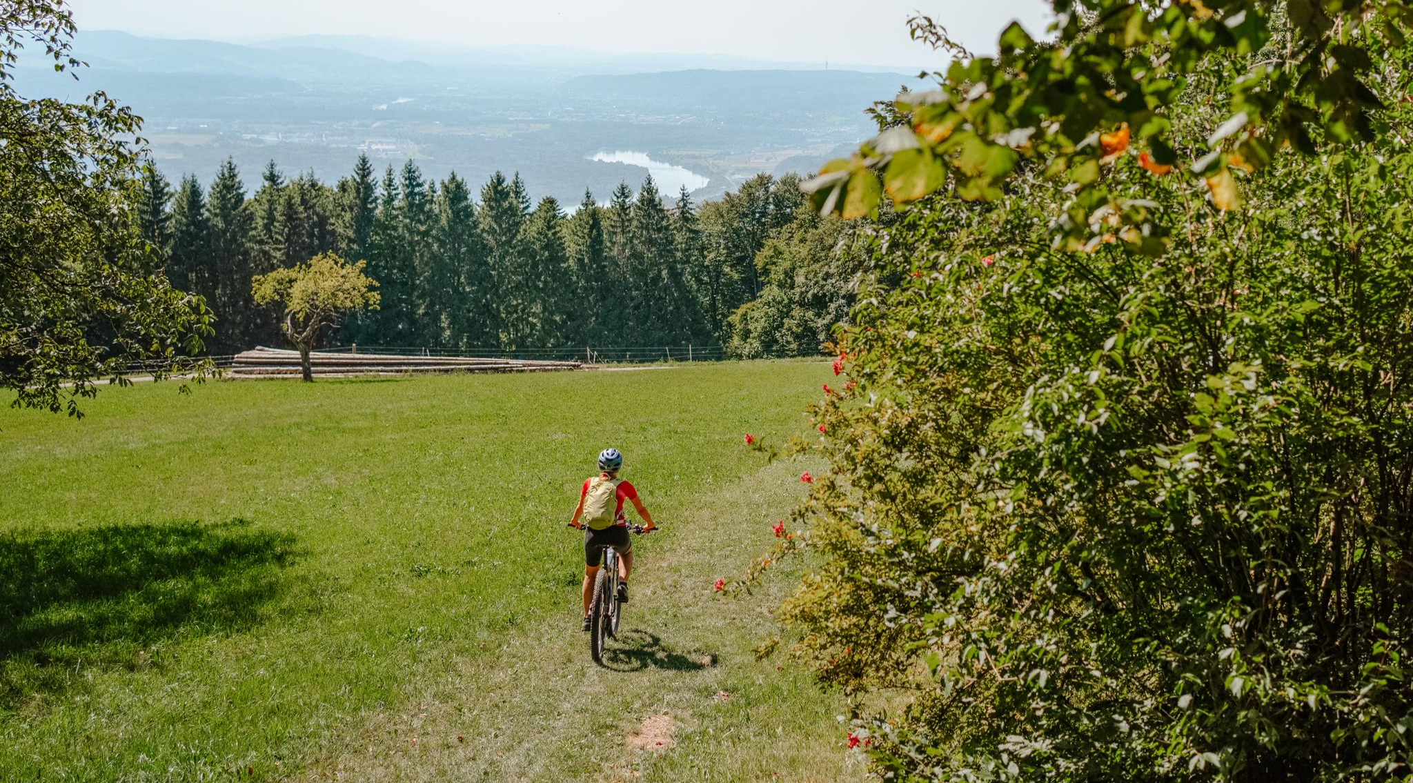
Build your dream ride: Modular biking in the Southern Black Forest
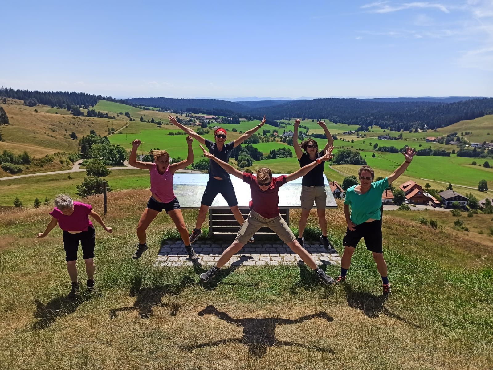
Schluchtensteig-West | From Schluchsee to Wehr
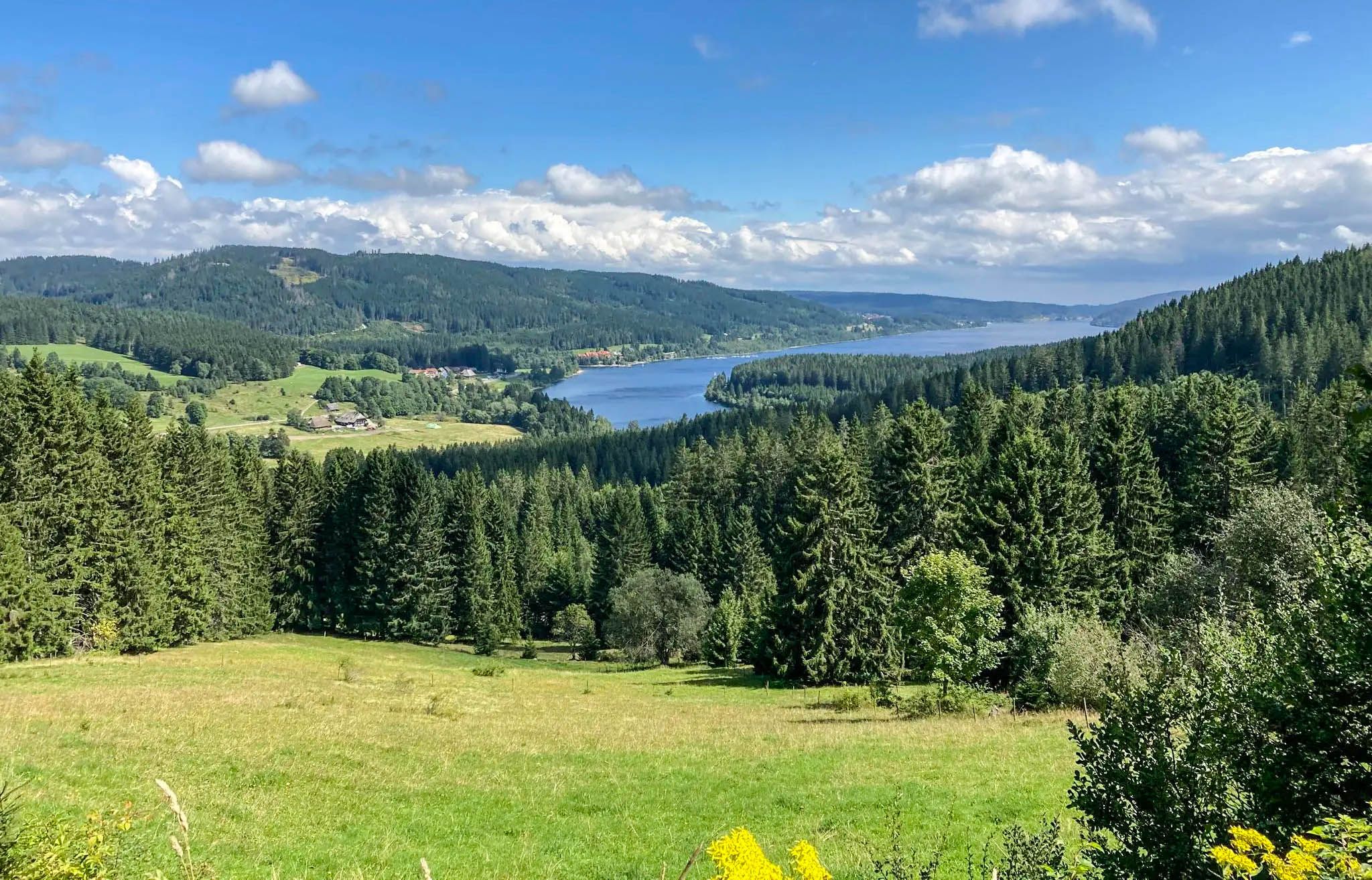
Experience Germany's Black Forest glass blowing history up close

Nature Park Gravel Crossing from North to South – Baden-Württemberg
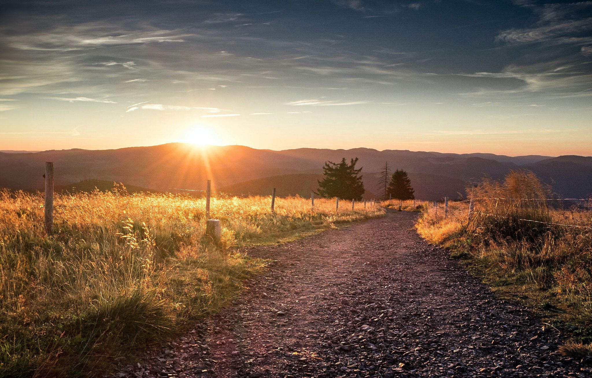
Autumn views on Genießerpfade and quality Tours in the Black Forest
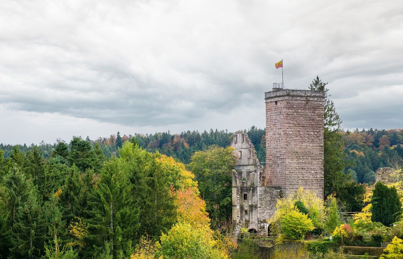
Castles, ghosts and knights – hike in Germany’s Black Forest pleasure trails
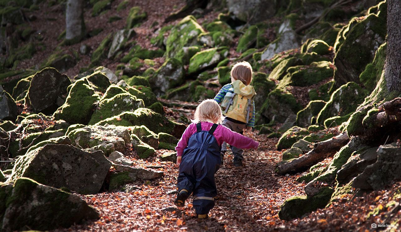
Discover nature through play – adventure trails for kids in the Upper Black Forest
Through gorges on the Black Forest pleasure trails
Other adventures around Todtmoos


Tips from the Community

Traces of a time long gone. 🥰
1
0
Great view in the Black Forest. Definitely worth a visit 😉
2
0

You can't just walk past here. The history of the former defensive line is part of the Black Forest region. You can still see a surprising amount of the old rampart. The information sign along the path has also been updated and offers more/better/better-presented information about the site.
3
0

Rest area with a beautiful view of the valley. Early morning with fog and absolute peace.
0
0

A very beautiful flower
0
0
A very nice view
0
0
A very beautiful sight
0
0
Frequently Asked Questions
What are the typical distances and durations for mountaineering routes around Todtmoos?
Mountaineering routes in Todtmoos vary in length and duration. For example, the Herzogenhorn Summit loop from Herzogenhorn is about 5.2 miles (8.4 km) and takes around 3 hours. Longer, more challenging routes like the Schwedenschanze (Herzogenhorn) – Herzogenhorn loop from Mösle cover 11.3 miles (18.2 km) and can take nearly 6 hours.
How difficult are the mountaineering routes in Todtmoos?
The mountaineering routes around Todtmoos offer a range of difficulties. Most of the 17 available routes are classified as moderate, with 12 falling into this category. There are also 5 more difficult routes for experienced mountaineers, but no easy routes are specifically designated for mountaineering.
Are there any circular mountaineering routes in Todtmoos?
Yes, many mountaineering routes in Todtmoos are designed as loops. Examples include the popular Herzogenhorn Summit loop from Herzogenhorn and the Miniature Black Forest House – Todtmoos waterfalls loop from Todtmoos, both offering scenic round trips.
What kind of terrain can I expect on mountaineering trails in Todtmoos?
Mountaineering in Todtmoos features varied terrain, including dense woodlands, rolling hills, and elevated peaks. You'll traverse forested slopes and open areas, encountering diverse elevation changes. Waterfalls and river valleys are also prominent landscape features, adding to the natural beauty.
When is the best time of year for mountaineering in Todtmoos?
The Black Forest region, including Todtmoos, is generally best for mountaineering from spring through autumn. During these seasons, trails are typically clear of snow, and the weather is more favorable for outdoor activities, offering lush greenery in spring/summer and vibrant colors in autumn.
Are there any routes that feature waterfalls in Todtmoos?
Yes, the region is known for its waterfalls. The Miniature Black Forest House – Todtmoos waterfalls loop from Todtmoos specifically highlights the Todtmoos waterfalls. You can also explore other waterfalls in the area like the Todtnau Waterfall or the Menzenschwand Waterfalls.
What do other mountaineers enjoy most about the routes in Todtmoos?
The mountaineering routes in Todtmoos are highly rated by the komoot community, with an average score of 4.9 stars. Mountaineers often praise the varied terrain, from dense forests to scenic valleys, and the well-defined trails that offer both moderate and challenging options.
Are there any particularly challenging mountaineering routes for experienced hikers?
For experienced mountaineers seeking a challenge, routes like the Wiese Spring – Schwedenschanze (Herzogenhorn) loop from Herzogenhorn are classified as difficult. This route covers over 14 miles (22 km) and involves significant elevation changes, taking over 7 hours to complete.
What kind of landmarks or points of interest can I find along the mountaineering routes?
Beyond natural beauty, some routes pass by interesting points. For instance, the Miniature Black Forest House – Todtmoos waterfalls loop from Todtmoos passes by the Miniature Black Forest House. The region also offers viewpoints such as the View of the Blackforestline Suspension Bridge.
Is it possible to reach mountaineering trailheads in Todtmoos using public transport?
While specific public transport connections to every trailhead can vary, Todtmoos itself is accessible by bus, connecting to larger towns. It's advisable to check local bus schedules for routes that stop near your chosen mountaineering starting points.
Where can I find parking for mountaineering trails in Todtmoos?
Parking is generally available at common trailheads and designated parking areas within and around Todtmoos. Many routes, especially those starting from popular points like Herzogenhorn or Todtmoos village, will have nearby parking facilities. Look for signs indicating 'Wanderparkplatz' (hiking parking).
Are there any less strenuous mountaineering routes suitable for families in Todtmoos?
While there are no routes specifically graded as 'easy' for mountaineering, many of the moderate routes, such as the Herzogenhorn – Großer Wächtenkessel loop from Menzenachwand Möselparkplatz, could be suitable for active families. These routes typically involve manageable distances and elevation gains, often featuring scenic points of interest like waterfalls that appeal to children.
Most popular routes around Todtmoos
Most popular attractions around Todtmoos

Get inspired with the komoot mobile app


Explore more
Browse the best Mountain Hikes & Routes in other regions.
