The best mountain hikes around Landkreis Rottweil
4.0
(2)
15
hikers
7
hikes
Mountaineering routes around Landkreis Rottweil traverse a landscape characterized by dense forests, river valleys, and varied elevations. The region, situated in the Swabian Jura and Black Forest foothills, offers a mix of rolling hills and historical sites. Mountaineering here often involves paths through woodlands and along waterways, with some routes featuring notable geological formations or cultural landmarks. The terrain provides diverse conditions for outdoor exploration.
Best mountaineering routes around Landkreis Rottweil
- The most popular mountaineering route is Kapfhäusle Thatched House…
Last updated: October 18, 2026
1
hikers
Moderate mountaineering route. Good fitness required. Easily-accessible paths. Suitable for all skill levels.
4
hikers
10.7km
02:58
190m
190m
Moderate mountaineering route. Good fitness required. Easily-accessible paths. Suitable for all skill levels.

3.0
(1)
2
hikers
6.27km
01:45
120m
120m
Easy mountaineering route. Great for any fitness level. Easily-accessible paths. Suitable for all skill levels.
1
hikers
7.45km
02:02
120m
120m
Moderate mountaineering route. Good fitness required. Easily-accessible paths. Suitable for all skill levels.
5.0
(1)
2
hikers
14.3km
04:38
630m
640m
Moderate mountaineering route. Good fitness required. Mostly accessible paths. Sure-footedness required.
2
hikers
10.5km
03:11
280m
280m
Moderate mountaineering route. Good fitness required. Mostly accessible paths. Sure-footedness required.
1
hikers
14.0km
04:29
580m
580m
Moderate mountaineering route. Good fitness required. Mostly accessible paths. Sure-footedness required.
2
hikers
14.1km
04:11
420m
420m
Moderate mountaineering route. Good fitness required. Easily-accessible paths. Suitable for all skill levels.
10.4km
03:21
400m
400m
Moderate mountaineering route. Good fitness required. Mostly accessible paths. Sure-footedness required.
Moderate mountaineering route. Good fitness required. Mostly accessible paths. Sure-footedness required.
Our route recommendations are based on thousands of hikes, rides, and runs completed by other people on komoot.
Start today with a free account
Your next adventure awaits.
Popular around Landkreis Rottweil
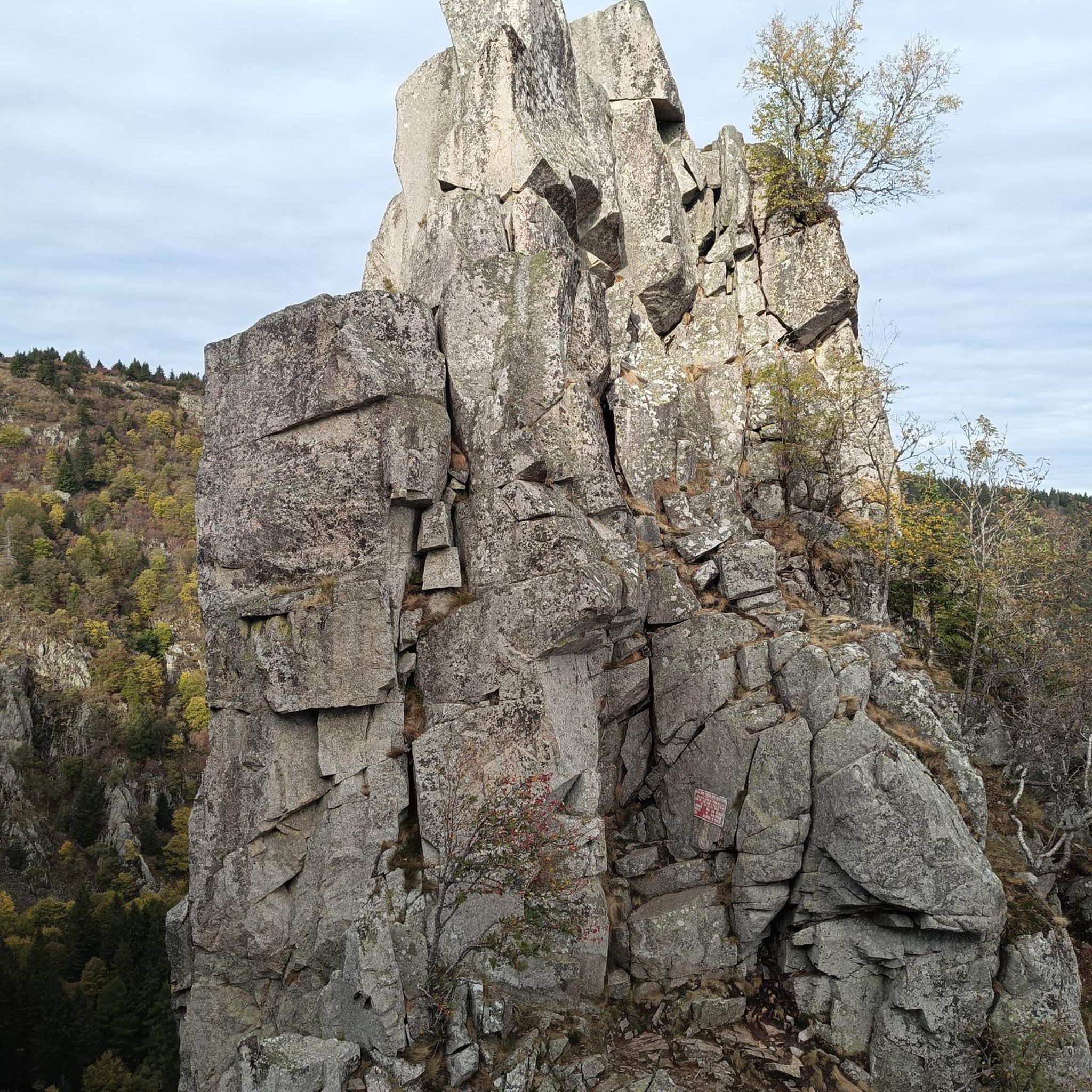
Mountain Hikes around Schramberg
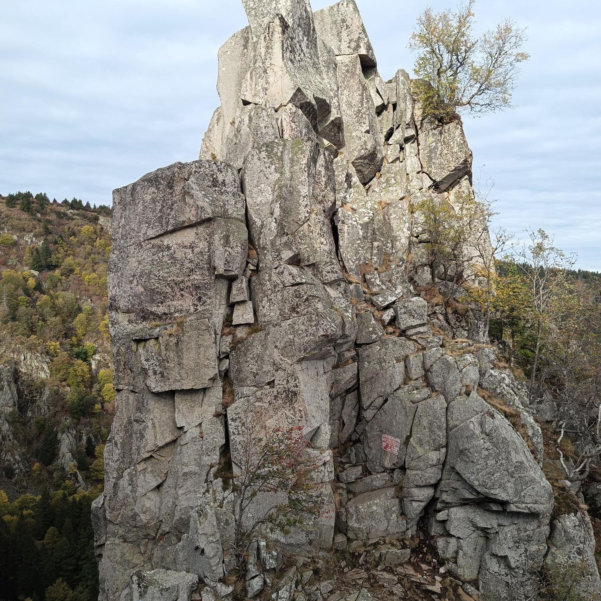
Mountain Hikes around Schiltach
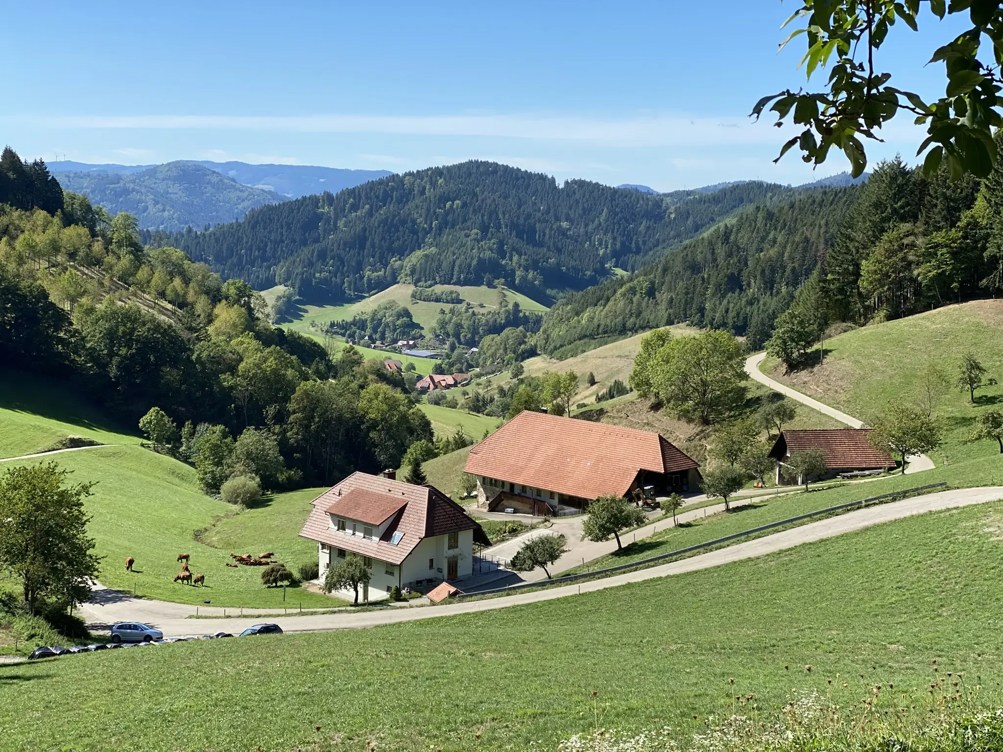
Kinzigtäler Jakobusweg – With Jakob through the Black Forest
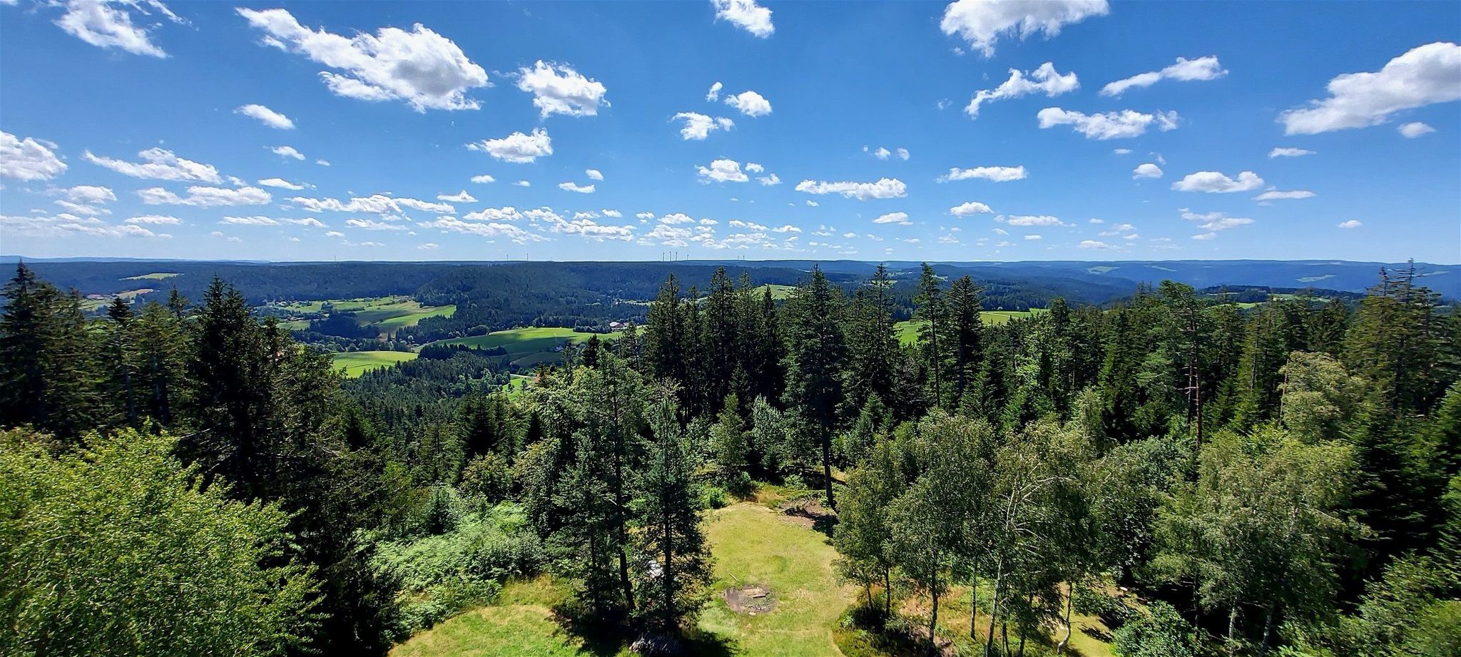
Lauterbacher Wandersteig – Two days in the idyllic Black Forest
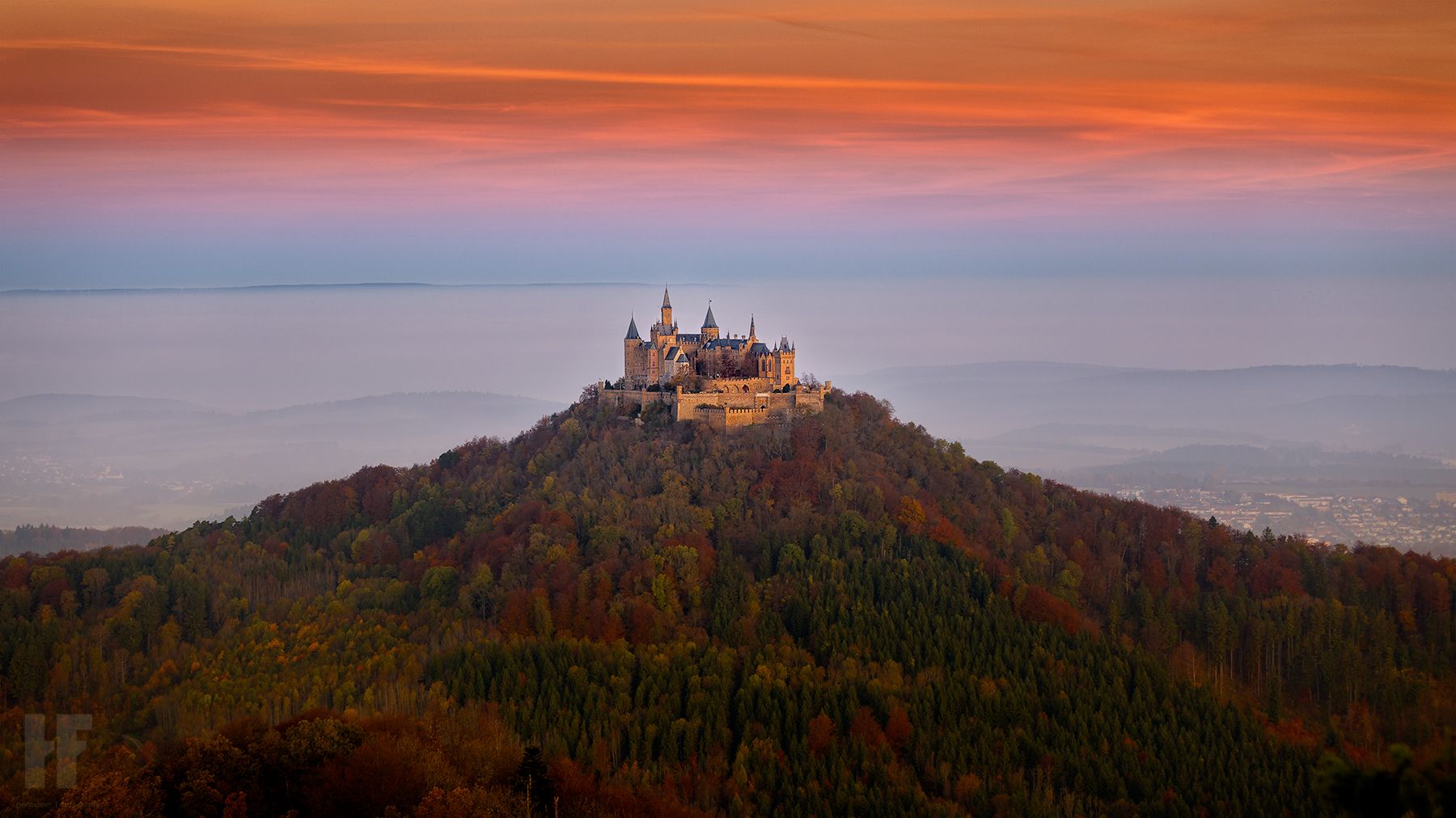
Hohenzollernweg – On the track of the knights, 7 stages
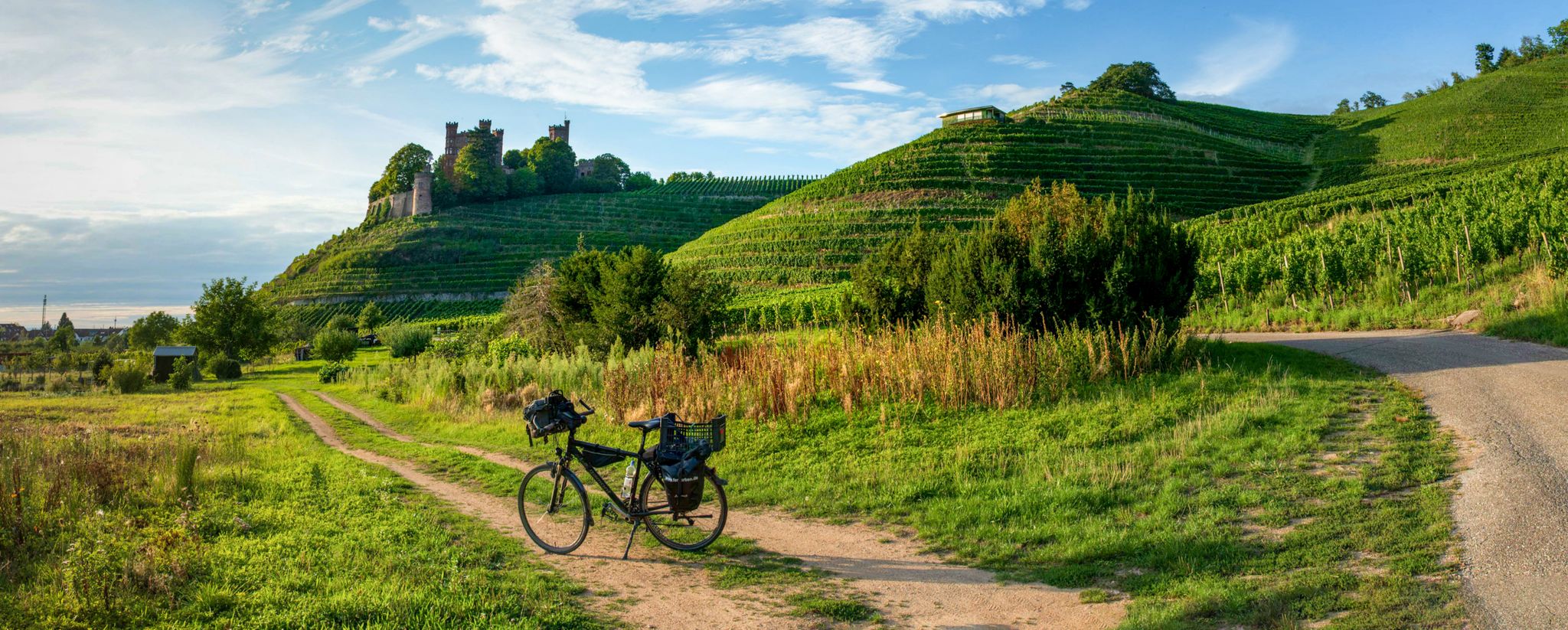
Three Valleys Cycle Path – Cycle across the Black Forest in Germany
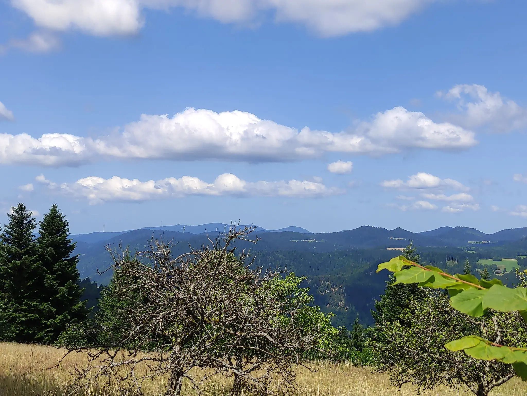
The Eastern Path of the Black Forest Association
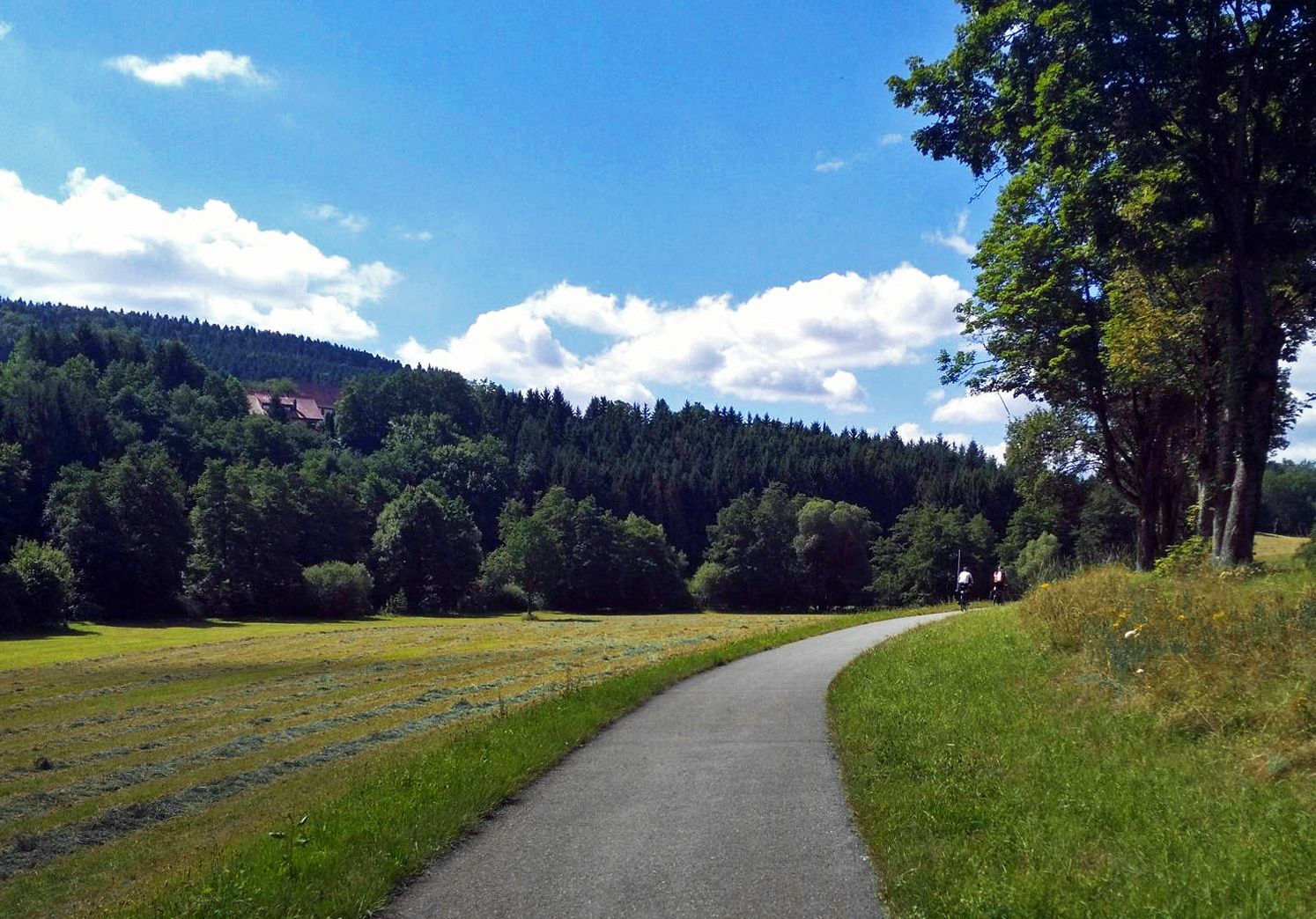
The Heidelberg-Schwarzwald-Bodensee-Radweg
Culture over mileage – cultural Highlights on the Neckar Valley Cycle Path
Outdoor Art – art trails in the Black Forest
Other adventures around Landkreis Rottweil


Tips from the Community


The Turmhütte on the Mooswaldkopf, built in 1904, was converted in 1923/24 into the "Memorial House of the Fallen of the World War 1914-18 from the Württemberg Black Forest Association". Today's Gedächtnishaus Fohrenbühl is a popular destination with a large terrace. From the platform of the 24-meter-high observation tower, you can enjoy a fantastic panoramic view over the Central Black Forest. You can also stay overnight in the Turmhütte. Handmade souvenirs are available in the small on-site ceramic shop. All information can be found at https://www.turmhuette.de/.
2
0

The view of the ski jumping facility and down into the valley is impressive!
0
0

the watershed between the Danube and the Rhine
0
0

The European watershed at Martinskapelle near Furtwangen in the Black Forest separates the catchment area of the North Sea (via the Rhine) from that of the Black Sea (via the Danube) at an altitude of around 1,085 meters. Course of the watershed Rhine catchment area (northwestern side): The Elz rises here, which ultimately flows into the North Sea via the Rhine. Danube catchment area (southeastern side): Only about 100 meters from the watershed lies the Breg spring. The Breg is considered the longest source river of the Danube, whose waters flow into the Black Sea. The separation: A ridge only a few meters wide decides here whether a water droplet begins its journey west to the Rhine or east to the Danube.
0
0

very steep but nice view and nice hut operators
0
0

Access to platform 2 and 3 is at ground level via the yellow marked crossing. Approx. 10 minutes before a train arrives or passes, the crossing is closed with a barrier. So you have to be on the platform in good time beforehand.
0
0
Tracks 2 (RS to Hausach) and 3 (RE2 to Karlsruhe) can be reached at ground level via a yellow-marked path that goes over the tracks. Approximately 5-10 minutes before the train arrives, this passage is closed by a barrier. Then there is no longer a connection. So you have to be at the platform in good time.
0
0
Frequently Asked Questions
How many mountaineering routes are available in Landkreis Rottweil?
There are approximately 10 mountaineering routes documented in Landkreis Rottweil on komoot, offering a variety of experiences through forests, river valleys, and historical sites. Most of these are moderate in difficulty, with a few easier options available.
Are there any easy mountaineering routes suitable for beginners in Landkreis Rottweil?
Yes, Landkreis Rottweil offers a few easy mountaineering routes perfect for beginners or those seeking a more relaxed experience. Consider the Ramstein Chapel loop from Tennenbronn, which is about 6.4 km long, or the Sandbühlsee loop from Lützenhardt, covering around 7.2 km.
What are some challenging mountaineering trails in the Landkreis Rottweil area?
While most routes in Landkreis Rottweil are moderate, some offer more significant elevation gain and distance. For a longer, more demanding experience, the Uhufelsen – Germanswald loop from Mönchweiler spans nearly 14.5 km, or the Split Rock – View of Hohenzollern Castle loop from Schafberg-Lochenstein which features substantial elevation changes over 14 km.
Are there circular mountaineering routes in Landkreis Rottweil?
Many of the mountaineering routes in Landkreis Rottweil are designed as loops, allowing you to start and end at the same point. Examples include the Meadow in Naturpark Obere Donau – Split Rock on Schafberg loop from Schafberg-Lochenstein and the Schörzinger Hut – Lemberg Tower loop from Deilingen.
What kind of scenic viewpoints can I expect on mountaineering routes in Landkreis Rottweil?
Mountaineering routes in Landkreis Rottweil often lead to rewarding viewpoints. You can find panoramic vistas such as the View of the Old Neckar Meander and Bergle Hill, offering picturesque views of the landscape. The region's varied elevations provide many opportunities for scenic overlooks.
Are there any routes that feature waterfalls in Landkreis Rottweil?
Yes, if you're looking for routes with waterfalls, the region has natural attractions like the Lauterbach Waterfalls. While not directly on every mountaineering route, they are a notable natural monument in the wider Landkreis Rottweil area and can be explored as part of a visit.
What historical sites or landmarks can be explored along mountaineering trails?
Landkreis Rottweil is rich in history, and several mountaineering routes pass by or lead to historical sites. For instance, the Split Rock – View of Hohenzollern Castle loop from Schafberg-Lochenstein offers views of the iconic Hohenzollern Castle. Other historical points of interest in the region include the Bernstein Monastery.
What is the best time of year for mountaineering in Landkreis Rottweil?
The best time for mountaineering in Landkreis Rottweil is generally from spring through autumn. During these seasons, the weather is milder, and the trails through the dense forests and along river valleys are most accessible and enjoyable. Winter can offer unique experiences, but some trails may be challenging due to snow and ice.
Are there any hidden gem mountaineering routes in Landkreis Rottweil?
For those looking for less-trafficked paths, consider exploring routes that delve deeper into the natural parks and less-known areas. The Meadow in Naturpark Obere Donau – Split Rock on Schafberg loop from Schafberg-Lochenstein offers a chance to discover the beauty of the Naturpark Obere Donau, which might feel like a hidden gem compared to more popular spots.
What do other mountaineers enjoy most about the routes in Landkreis Rottweil?
The mountaineering routes in Landkreis Rottweil are highly rated by the komoot community, with an average score of 4.0 stars. Reviewers often praise the diverse terrain, the peaceful forest paths, and the blend of natural beauty with historical elements like castles and gorges. The well-maintained trails and varied difficulty levels also contribute to a positive experience.
Are there mountaineering routes in Landkreis Rottweil with good public transport access?
While many routes in Landkreis Rottweil are best accessed by car, some starting points may be reachable via local public transport. It's advisable to check local bus or train schedules for specific starting points like Mönchweiler for the Uhufelsen – Germanswald loop, or Schönwald im Schwarzwald for the Brend Tower – Brend Mountain Inn loop, to plan your journey effectively.
Can I find mountaineering routes that pass by lakes or ponds in the region?
Yes, the Landkreis Rottweil area features several beautiful lakes and ponds that can be incorporated into or found near mountaineering excursions. Highlights include the Matten Pond and the Türnentalsee, offering serene spots for a break or a scenic detour.
Most popular routes around Landkreis Rottweil
Most popular attractions around Landkreis Rottweil

Get inspired with the komoot mobile app


Didn’t find what you were looking for?
Check out more Mountain Hikes & Routes throughout Landkreis Rottweil below and find the perfect route in your destination.
Explore more
Browse the best Mountain Hikes & Routes in other regions.
