The best mountain hikes around Lautenbach
4.8
(72)
211
hikers
21
hikes
Mountaineering around Lautenbach features routes through the northern Black Forest, characterized by dense woodlands, rocky ridges, and scenic waterfalls. The region's terrain includes significant elevation changes, offering challenging ascents and descents. Key features include the Karlsruher Grat ridge and the Edelfrauengrab Waterfalls, providing varied landscapes for mountaineering.
Best mountaineering routes around Lautenbach
- The most popular mountaineering route is Edelfrauengrab Waterfalls – Edelfrauengrab Waterfalls loop from Gottschlägtal - Karlsruher Grat, a 7.8 miles (12.5 km) trail that takes 4 hours 22 minutes to complete. This difficult route explores the Edelfrauengrab Waterfalls and the Karlsruher Grat ridge.
- Another top favourite among local mountaineers is Edelfrauengrab Waterfalls – Edelfrauengrab Waterfalls loop from Gottschlägtal - Karlsruher Grat, a difficult 5.4 miles (8.7 km) path. This route offers a shorter, yet still challenging, experience through similar waterfall and ridge landscapes.
- Local mountaineers also love the Allerheiligen Monastery Ruins – Herrenschrofen viewpoint loop from Klosterruine Allerheiligen, a 8.8 miles (14.1 km) trail leading through historical ruins and scenic viewpoints, often completed in about 4 hours 35 minutes.
- Mountaineering around Lautenbach is defined by challenging rocky ridges, dense forests, and impressive waterfalls. The network offers options for various ability levels, including 1 easy, 4 moderate, and 17 difficult routes.
- The routes in Lautenbach are highly rated by the komoot community with an average score of 4.8 stars from over 60 reviews. More than 200 mountaineers have used komoot to explore Lautenbach's varied terrain.
Last updated: August 25, 2026
4.7
(30)
77
hikers
Hard mountaineering route. Good fitness required. Sure-footedness, sturdy shoes and alpine experience required.
4.5
(16)
43
hikers
10.9km
03:46
550m
550m
Hard mountaineering route. Good fitness required. Sure-footedness, sturdy shoes and alpine experience required.

Sign up for free
5.0
(3)
17
hikers
Hard mountaineering route. Good fitness required. Sure-footedness, sturdy shoes and alpine experience required.
4.6
(5)
17
hikers
5.50km
02:03
290m
290m
Hard mountaineering route. Good fitness required. Sure-footedness, sturdy shoes and alpine experience required.
5.0
(6)
16
hikers
Hard mountaineering route. Good fitness required. Sure-footedness, sturdy shoes and alpine experience required.
Get access to more routes and recommendations from other explorers.
Sign up for free
Already have an account?
Our route recommendations are based on thousands of hikes, rides, and runs completed by other people on komoot.
Start today with a free account
Your next adventure awaits.
Login or Signup
Popular around Lautenbach
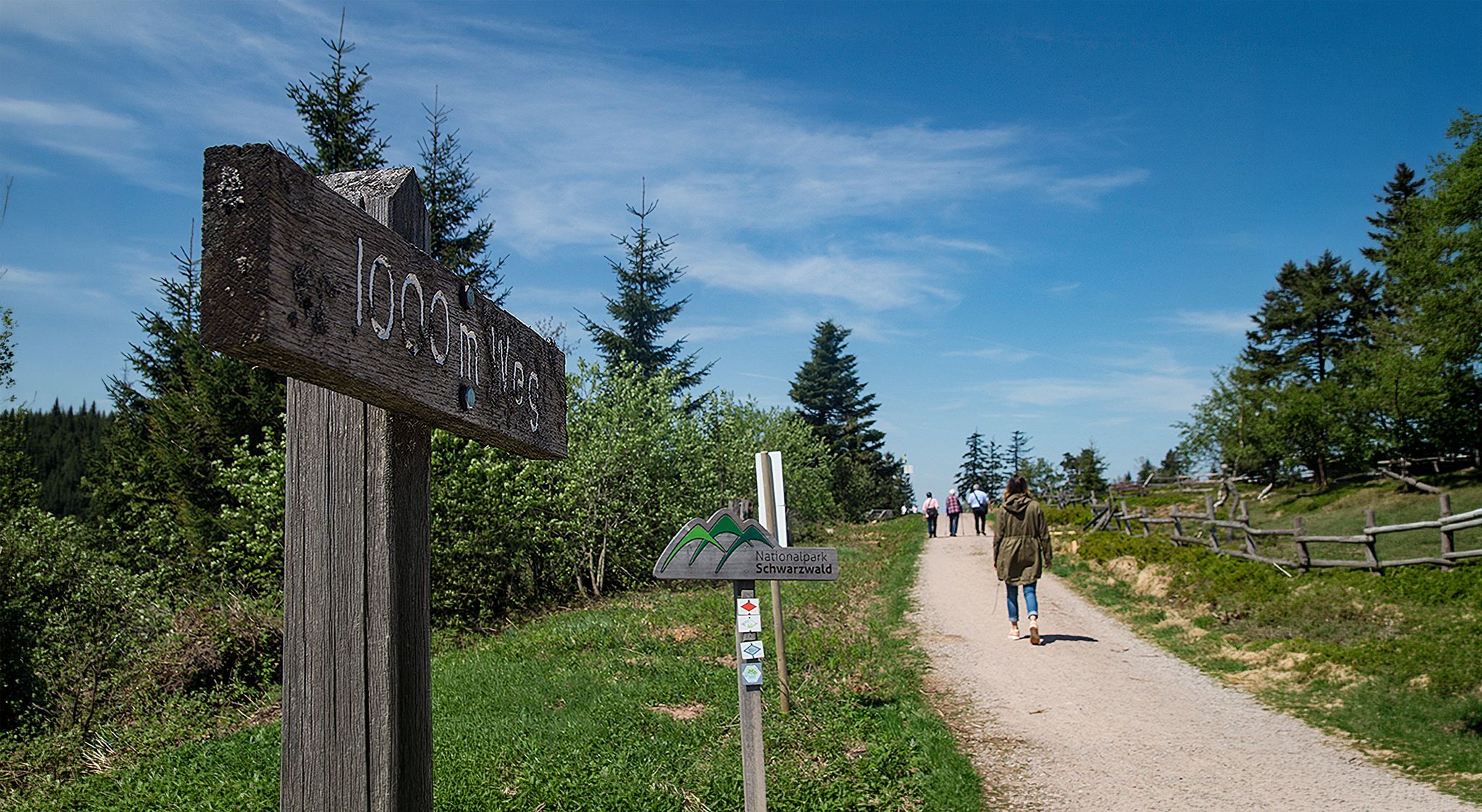
Barrier-free hikes in the Black Forest National Park
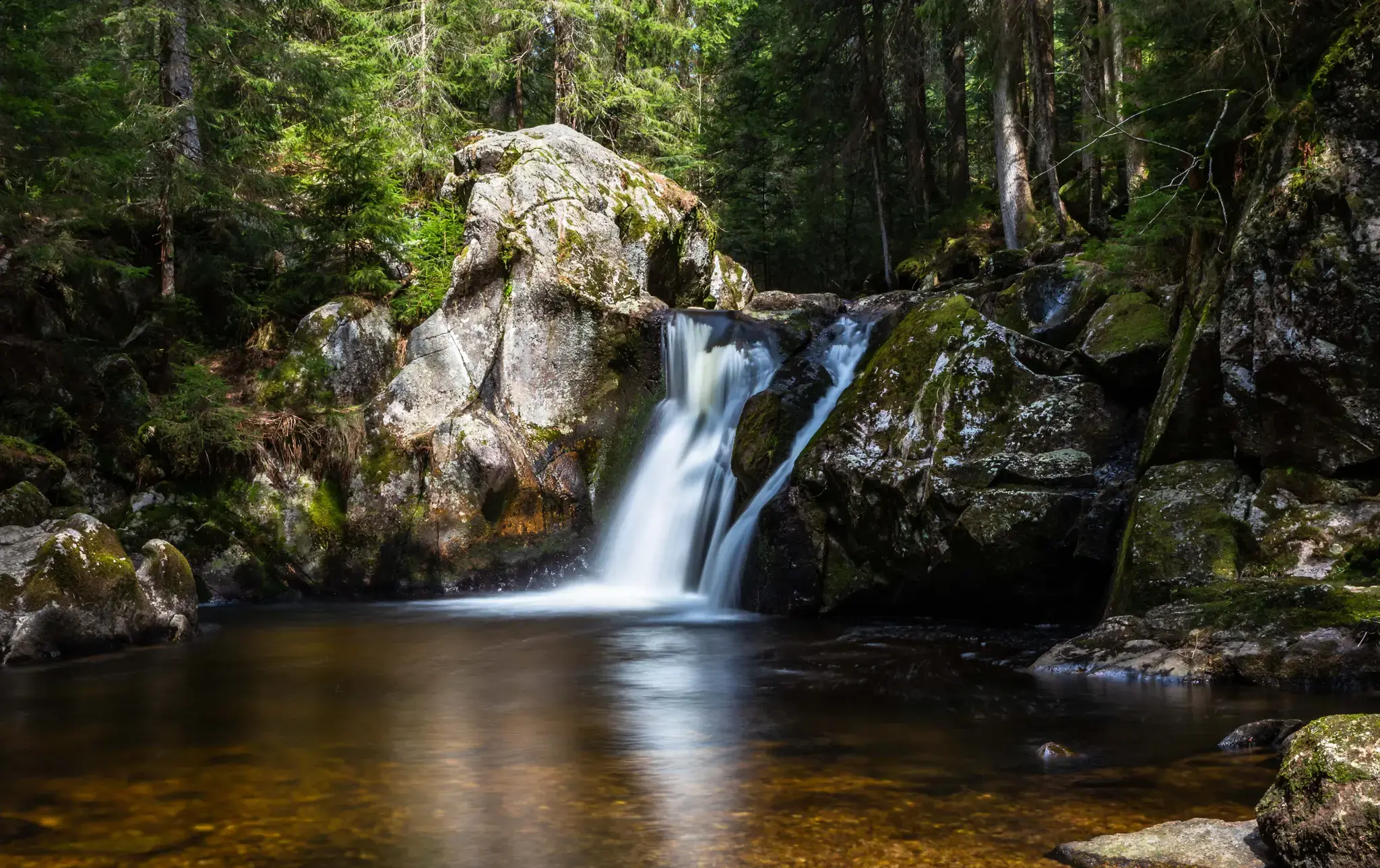
Hiking, ponds & waterfalls – superb Black Forest swimming spots

Coolcation in the Black Forest – hiking and cooling off in summer
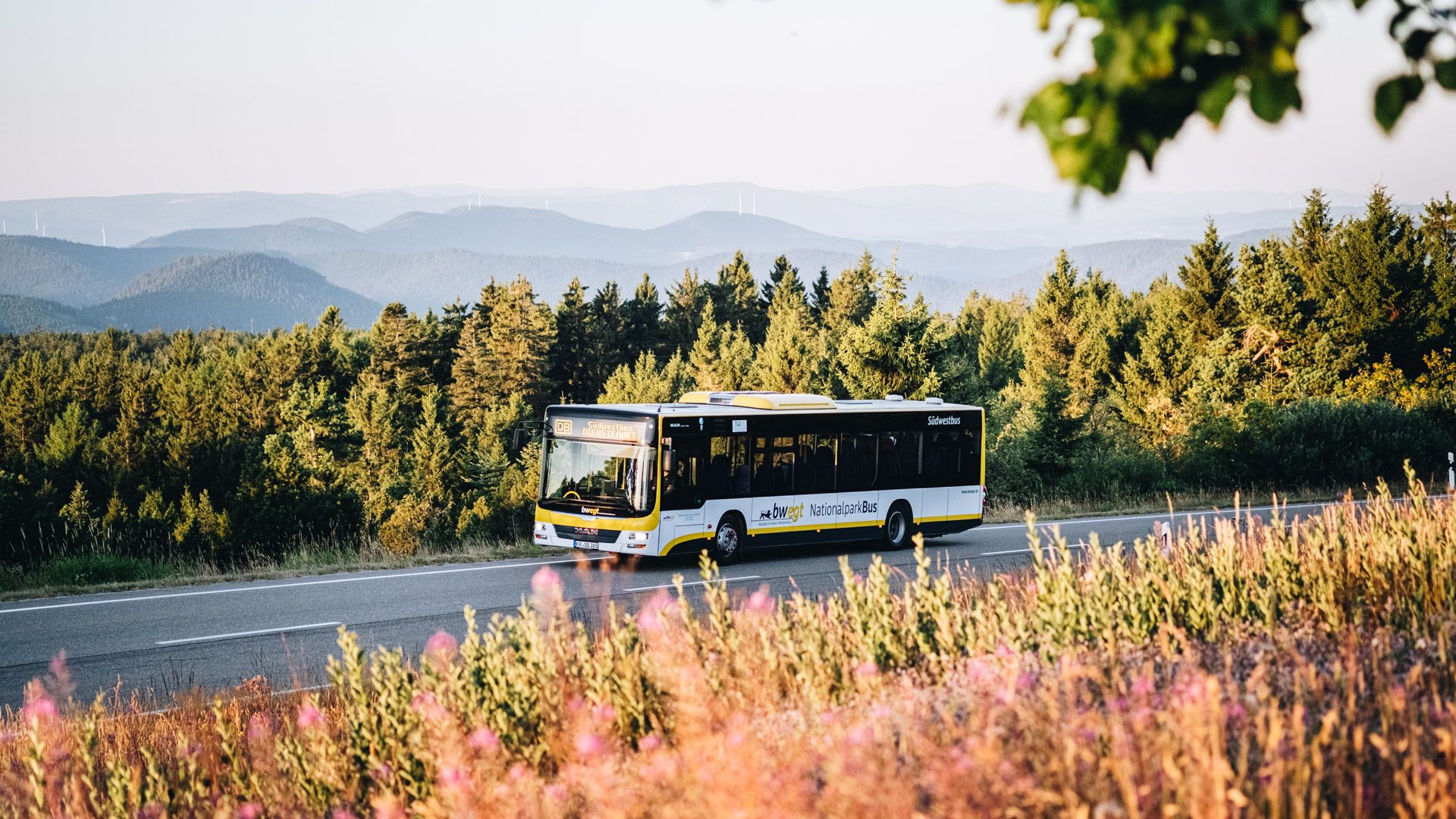
Pure nature: discover the Black Forest by bus and train

Sunny rides up to heights in the Black Forest
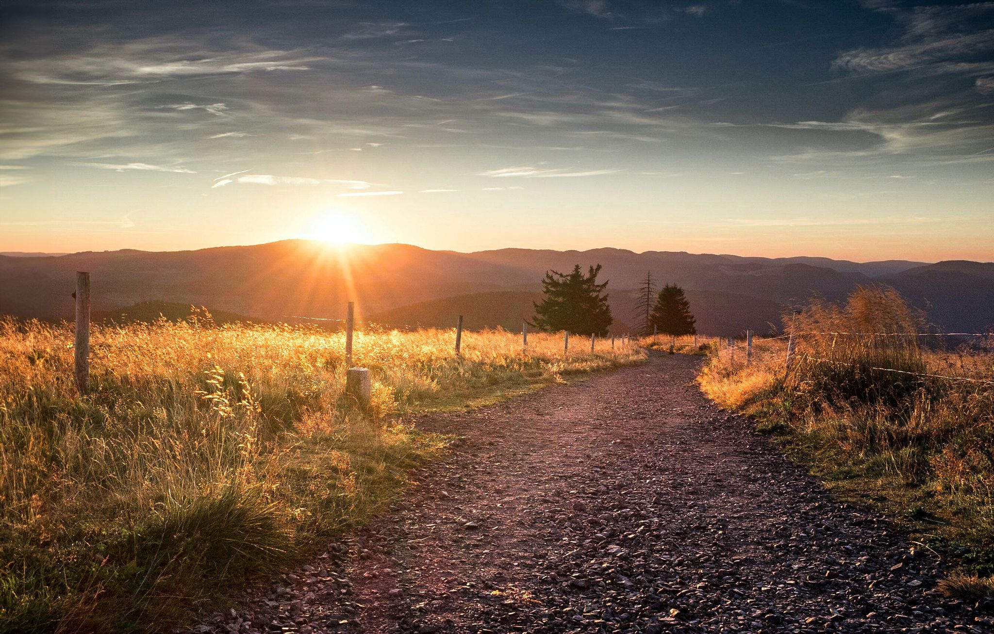
Autumn views on Genießerpfade and quality Tours in the Black Forest
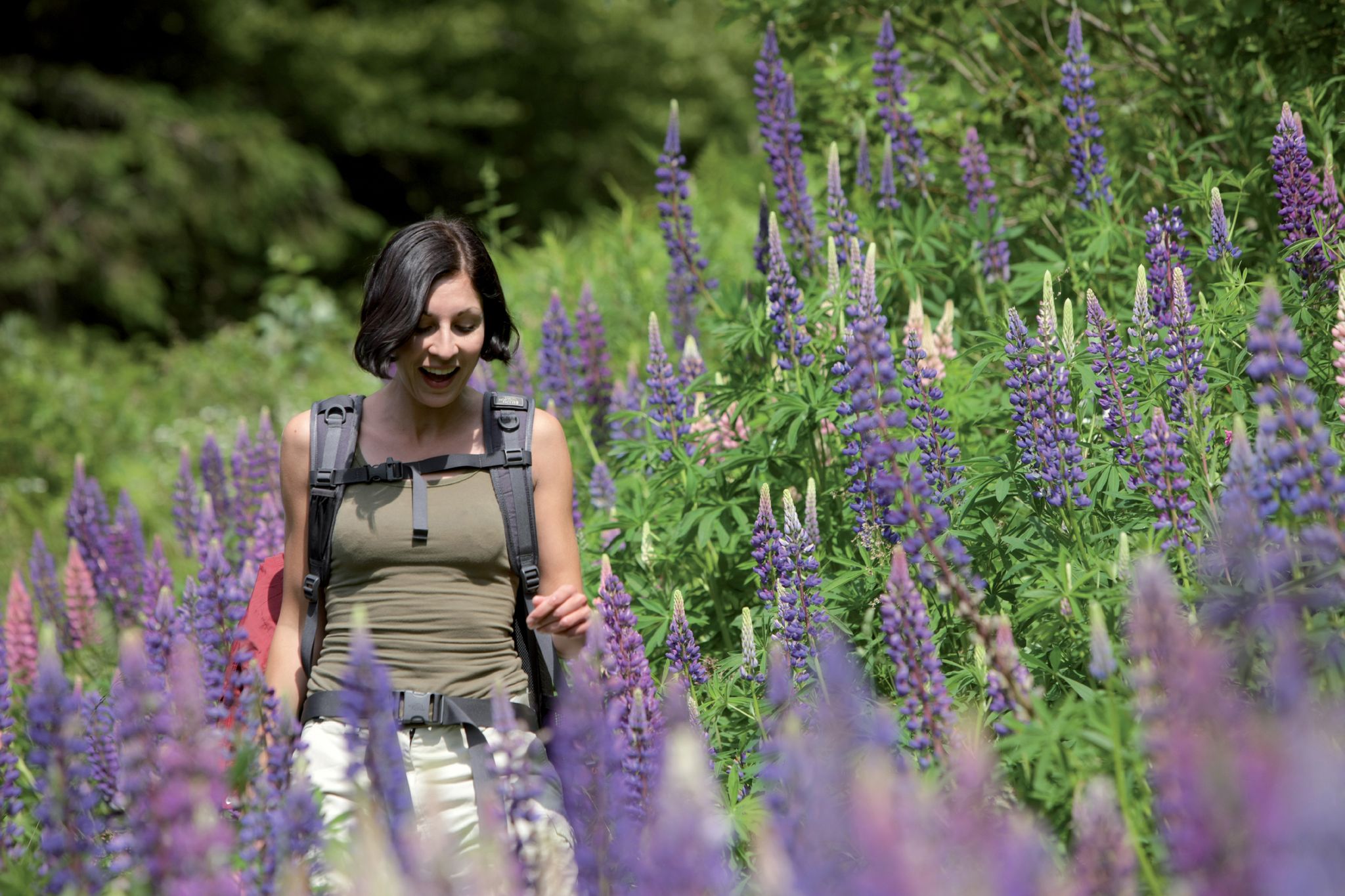
Exploring the Black Forest in Germany – fantastic trails & nature
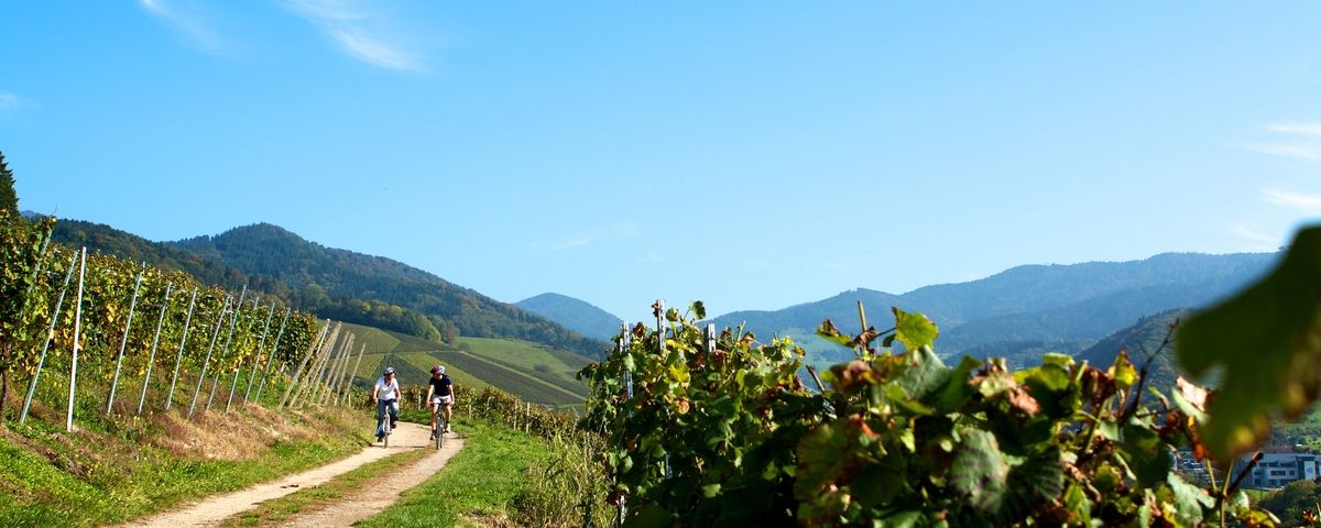
The Black Forest — Cycling in the realm of the "Bollenhüte"
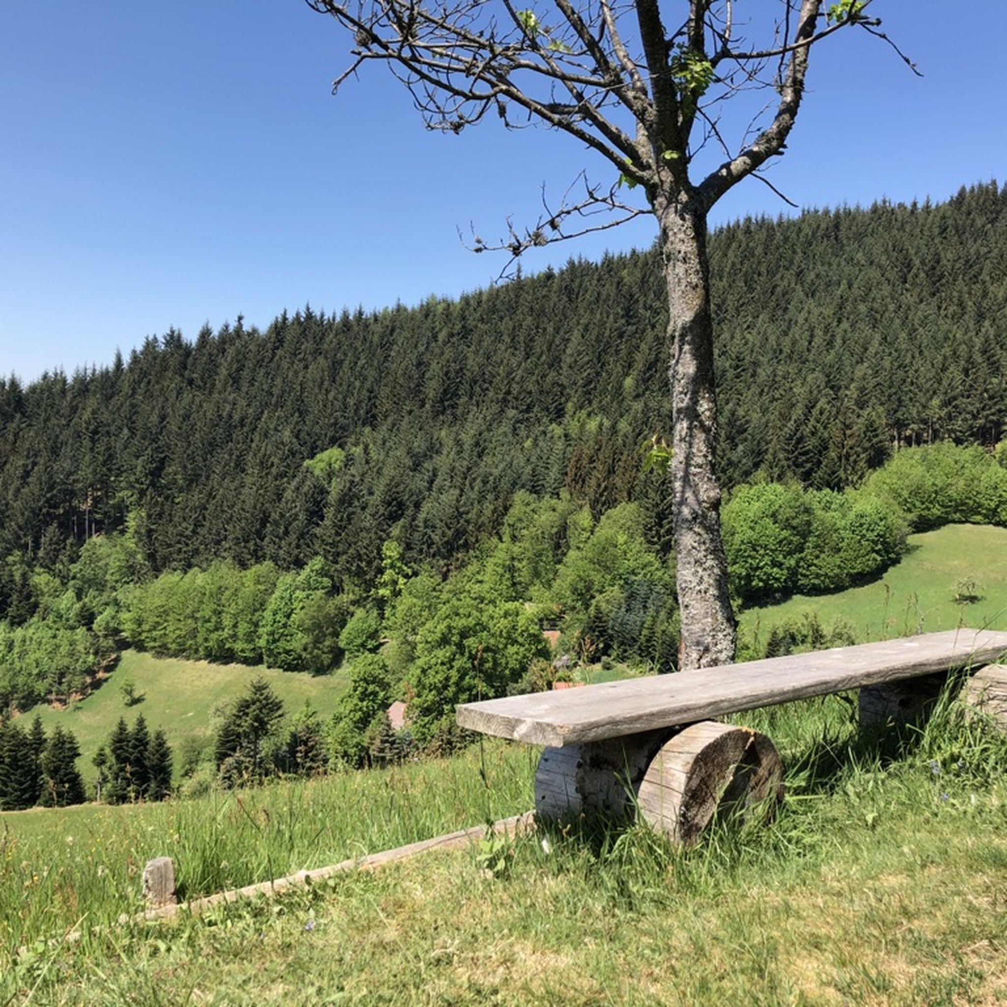
Hiking around Lautenbach
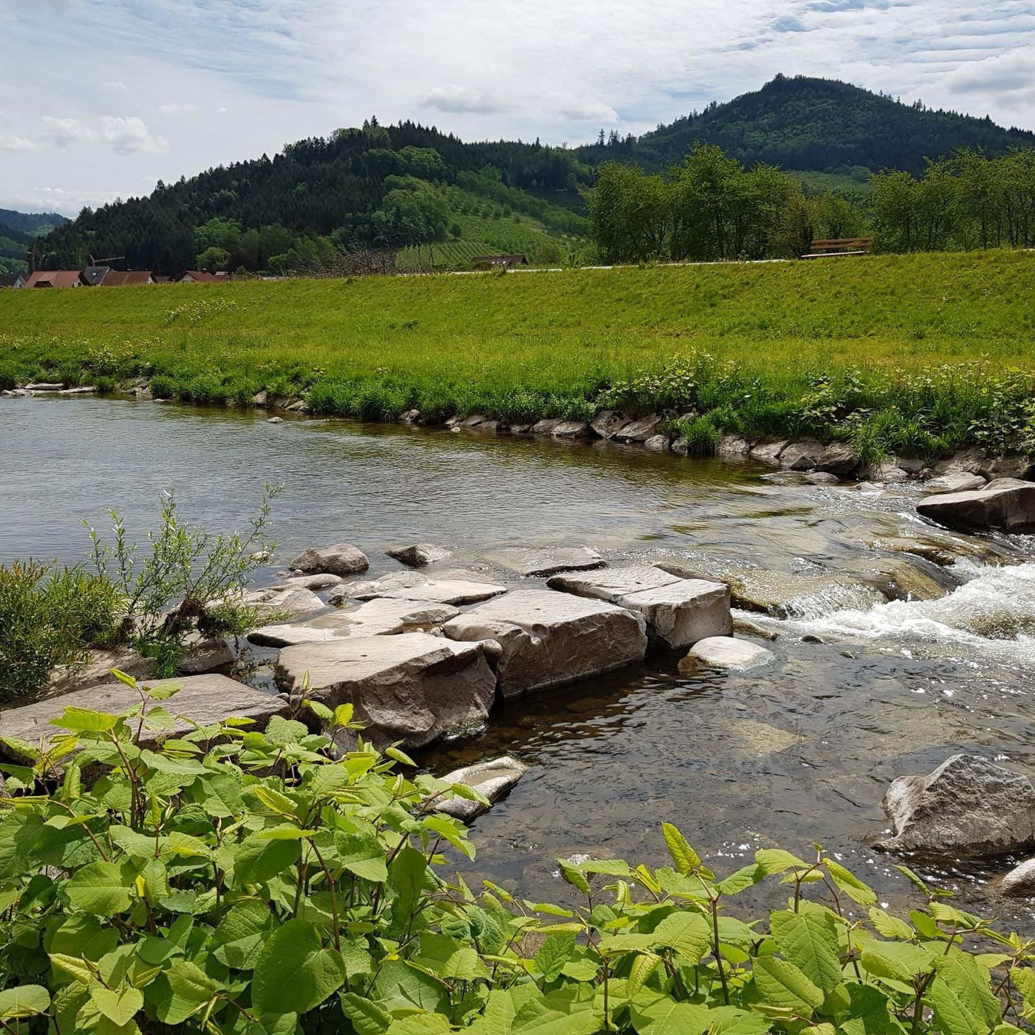
Cycling around Lautenbach
Other adventures around Lautenbach


Tips from the Community

Coming from the west, the first point with a great view and also easily accessible from the west - the difficult sections come further east.
0
0
Schnappsbrunnen with a smaller selection, but certainly lovingly made. Cooling is not done electrically but with cold (spring?) water flowing between the drink crates.
0
0

a must if you like drinking schnapps
0
0
very nice wide view
1
0

a beautiful place to recharge
0
0

Really beautiful viewpoint, worth the hike
2
0

You have a wonderful view.
1
0
Frequently Asked Questions
What is the general difficulty level of mountaineering routes around Lautenbach?
Mountaineering around Lautenbach offers a range of difficulties. While there is 1 easy route, the majority are more challenging, with 4 moderate and 17 difficult routes available. This means you'll find plenty of options for experienced mountaineers seeking a challenge.
Are there any beginner-friendly mountaineering routes in Lautenbach?
Yes, there is 1 easy mountaineering route available in Lautenbach, making it possible for beginners to experience the region's terrain. For those new to mountaineering, it's always recommended to start with easier trails and gradually increase difficulty.
How long do mountaineering routes around Lautenbach typically take to complete?
The duration of mountaineering routes in Lautenbach varies. For example, the Edelfrauengrab Waterfalls – Edelfrauengrab Waterfalls loop from Gottschlägtal - Karlsruher Grat is a difficult 7.8-mile (12.5 km) trail that typically takes around 4 hours 22 minutes. A slightly shorter, yet still difficult, option like the Edelfrauengrab Waterfalls – Edelfrauengrab Waterfalls loop from Gottschlägtal - Karlsruher Grat covers 5.4 miles (8.7 km) and takes about 3 hours 10 minutes.
Are there circular mountaineering routes available in Lautenbach?
Yes, many mountaineering routes in Lautenbach are designed as loops. For instance, the popular Allerheiligen Monastery Ruins – Herrenschrofen viewpoint loop from Klosterruine Allerheiligen is an 8.8-mile (14.1 km) circular trail, offering a complete experience without retracing your steps.
What natural attractions can I expect to see on mountaineering routes in Lautenbach?
Mountaineering routes in Lautenbach often feature impressive natural attractions. You can explore the dramatic Edelfrauengrab Waterfalls and the scenic Karlsruher Grat ridge. Other notable waterfalls in the area include the Gaishöll Waterfalls and All Saints Waterfalls.
Are there any historical sites or viewpoints along the mountaineering trails?
Yes, you can encounter historical sites and stunning viewpoints. The Allerheiligen Monastery Ruins – Herrenschrofen viewpoint loop from Klosterruine Allerheiligen takes you past the historic monastery ruins and offers panoramic views from the Herrenschrofen viewpoint. The Bismarck Tower on Hornisgrinde is another significant landmark in the wider region.
When is the best time of year for mountaineering in Lautenbach?
The best time for mountaineering in Lautenbach is typically from spring through autumn (May to October). During these months, the weather is generally more stable, and the trails are clear of snow and ice, making the rocky ridges and forest paths safer and more enjoyable to traverse. Always check local weather conditions before heading out.
What do other mountaineers enjoy most about the routes in Lautenbach?
The mountaineering routes in Lautenbach are highly rated by the komoot community, with an average score of 4.8 stars from over 60 reviews. Reviewers often praise the challenging rocky ridges, dense forests, and impressive waterfalls, highlighting the varied and engaging landscapes.
Are there any less crowded mountaineering routes in Lautenbach?
While popular routes like those around Edelfrauengrab Waterfalls can see more visitors, exploring some of the other 22 available routes might offer a quieter experience. Consider routes that are not explicitly mentioned as 'most popular' in general guides, or plan your visit during off-peak hours or weekdays.
Can I find routes that focus on specific features like the Karlsruher Grat?
Absolutely. Many routes are designed to highlight specific features. For example, the Karlsruher Grat – Western View loop from Gottschlägtal - Karlsruher Grat is a 4.1-mile (6.6 km) difficult route that specifically explores the famous Karlsruher Grat ridge, offering a focused experience of this iconic feature.
What kind of terrain should I expect on mountaineering routes in Lautenbach?
Mountaineering routes in Lautenbach are characterized by significant elevation changes, dense woodlands, and rocky ridges. You'll encounter challenging ascents and descents, often on natural forest paths and rocky sections, particularly around areas like the Karlsruher Grat.
Most popular routes around Lautenbach
Most popular attractions around Lautenbach

Get inspired with the komoot mobile app


Explore more
Browse the best Mountain Hikes & Routes in other regions.
