The best mountain hikes in the Ortenaukreis
4.6
(75)
238
hikers
27
hikes
Mountaineering routes in the Ortenaukreis traverse a diverse landscape at the western edge of the Black Forest and into the Rhine plain. The region features dense forests, gentle hills, and significant ridges like the Karlsruher Grat. It offers varied terrain, from challenging mountain paths with considerable elevation gains to scenic routes through valleys and past waterfalls. These physical features provide a range of experiences for mountaineers.
Best mountaineering routes in the Ortenaukreis
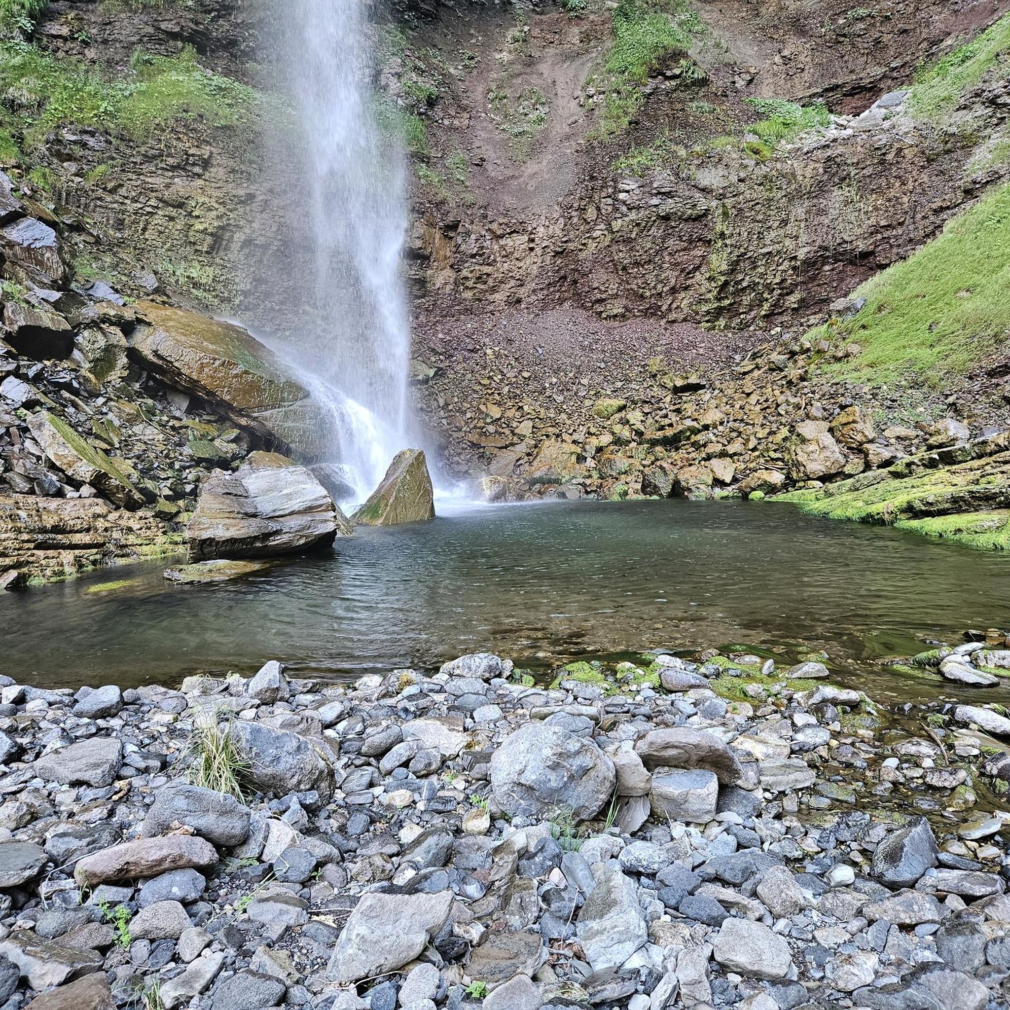
- The most popular mountaineering route is Edelfrauengrab Waterfalls…
Last updated: October 18, 2026
4.7
(30)
77
hikers
Hard mountaineering route. Good fitness required. Sure-footedness, sturdy shoes and alpine experience required.
4.5
(16)
43
hikers
10.9km
03:46
550m
550m
Hard mountaineering route. Good fitness required. Sure-footedness, sturdy shoes and alpine experience required.

5.0
(3)
19
hikers
Hard mountaineering route. Good fitness required. Sure-footedness, sturdy shoes and alpine experience required.
4.6
(5)
17
hikers
5.50km
02:03
290m
290m
Hard mountaineering route. Good fitness required. Sure-footedness, sturdy shoes and alpine experience required.
5.0
(6)
16
hikers
Hard mountaineering route. Good fitness required. Sure-footedness, sturdy shoes and alpine experience required.
5.0
(2)
8
hikers
Moderate mountaineering route. Great for any fitness level. Mostly accessible paths. Sure-footedness required.
5.0
(4)
8
hikers
Hard mountaineering route. Good fitness required. Sure-footedness, sturdy shoes and alpine experience required.
5.0
(2)
6
hikers
13.1km
04:31
630m
630m
Hard mountaineering route. Good fitness required. Sure-footedness, sturdy shoes and alpine experience required.
4.0
(1)
3
hikers
Moderate mountaineering route. Great for any fitness level. Mostly accessible paths. Sure-footedness required.
5.0
(1)
4
hikers
20.7km
07:31
1,190m
1,190m
Hard mountaineering route. Very good fitness required. Sure-footedness, sturdy shoes and alpine experience required.
Get access to more routes and recommendations from other explorers.
Already have an account?
Our route recommendations are based on thousands of hikes, rides, and runs completed by other people on komoot.
Start today with a free account
Your next adventure awaits.
Popular around Ortenaukreis
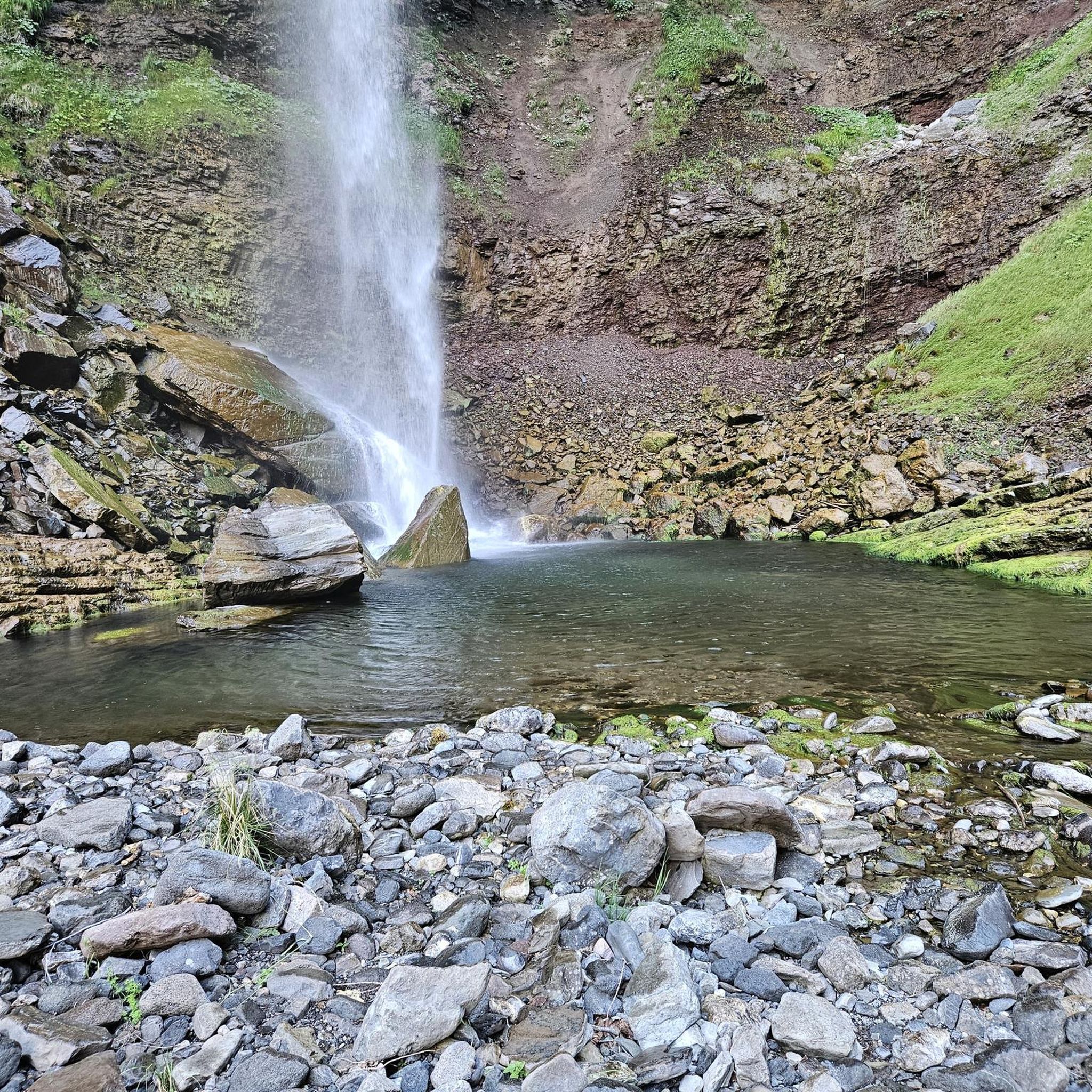
Mountain Hikes around Seebach
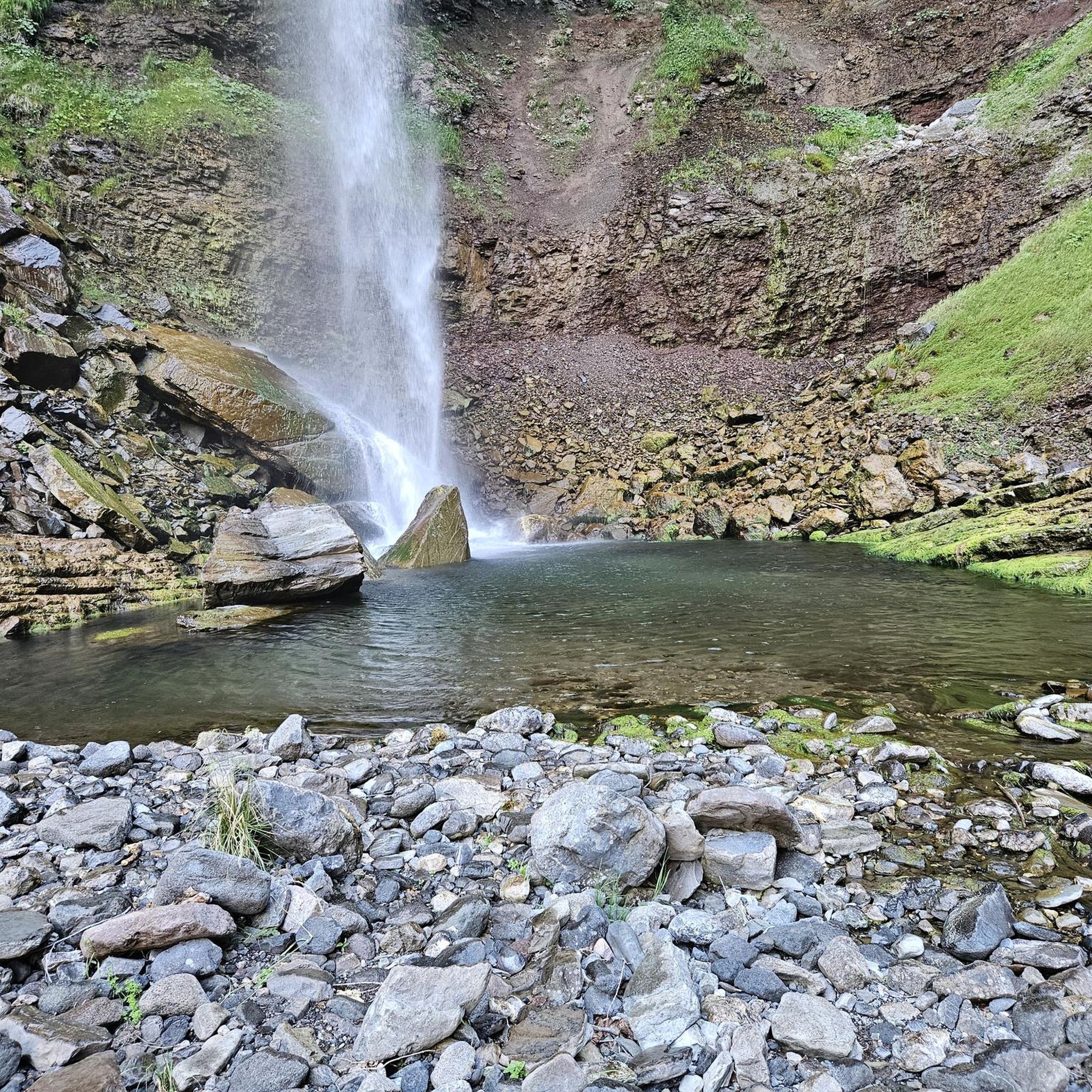
Mountain Hikes around Kappelrodeck
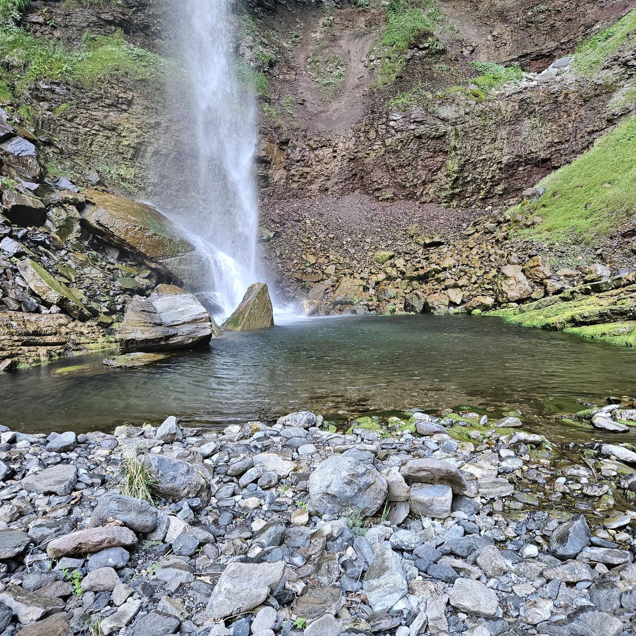
Mountain Hikes around Renchen
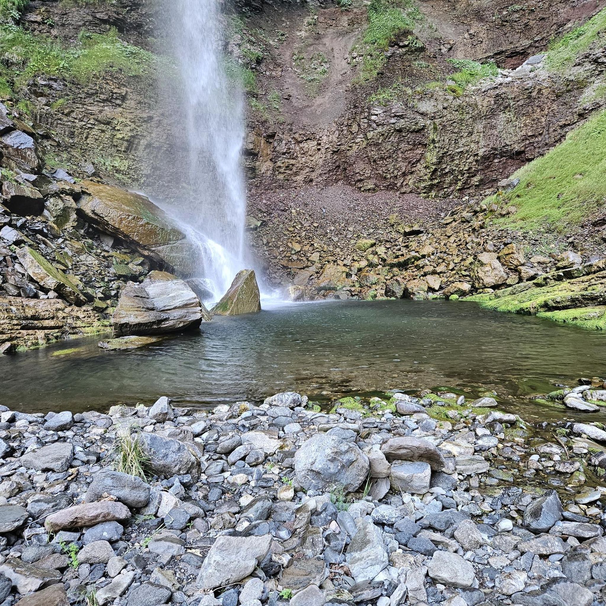
Mountain Hikes around Oberkirch
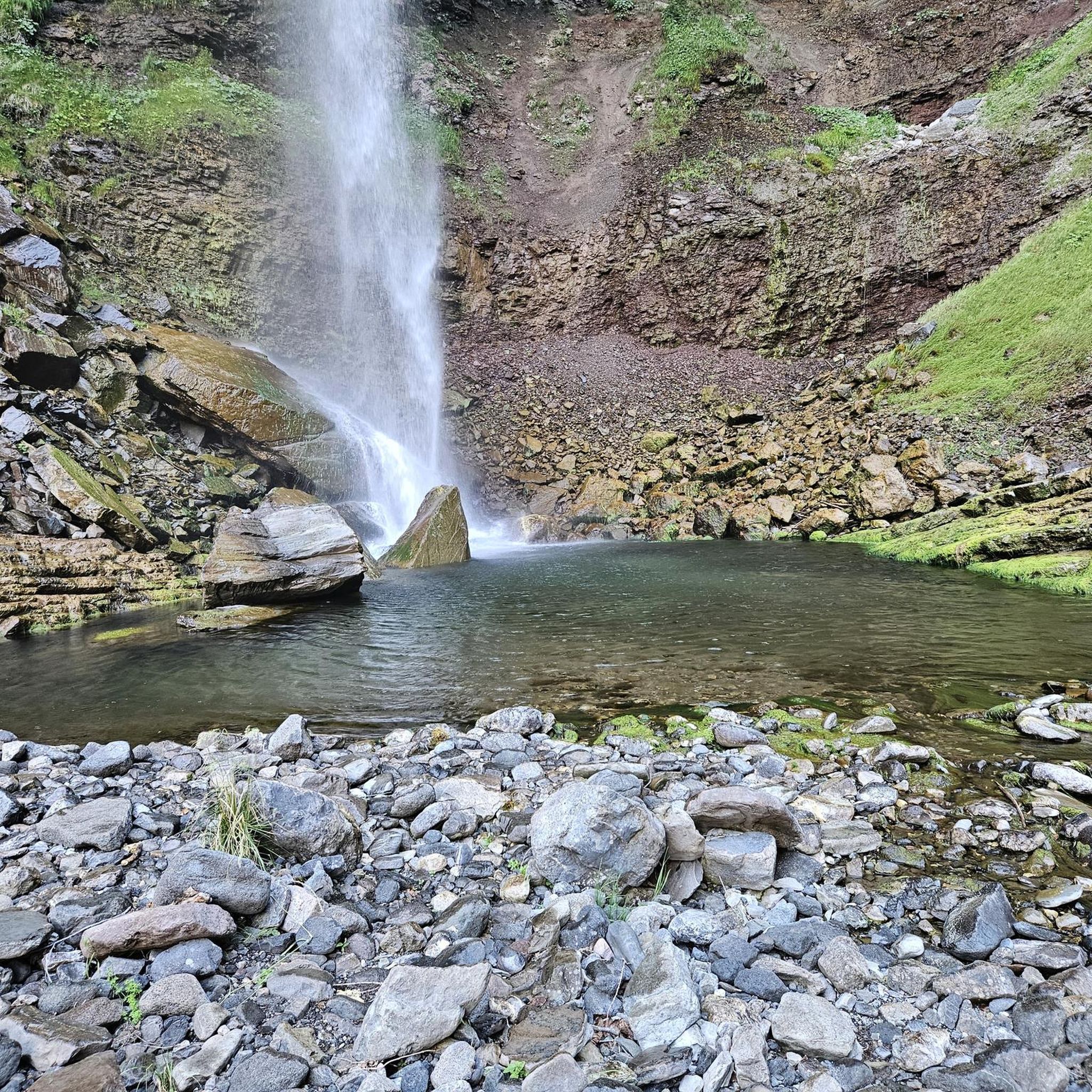
Mountain Hikes around Ottenhöfen im Schwarzwald

Mountain Hikes around Lautenbach
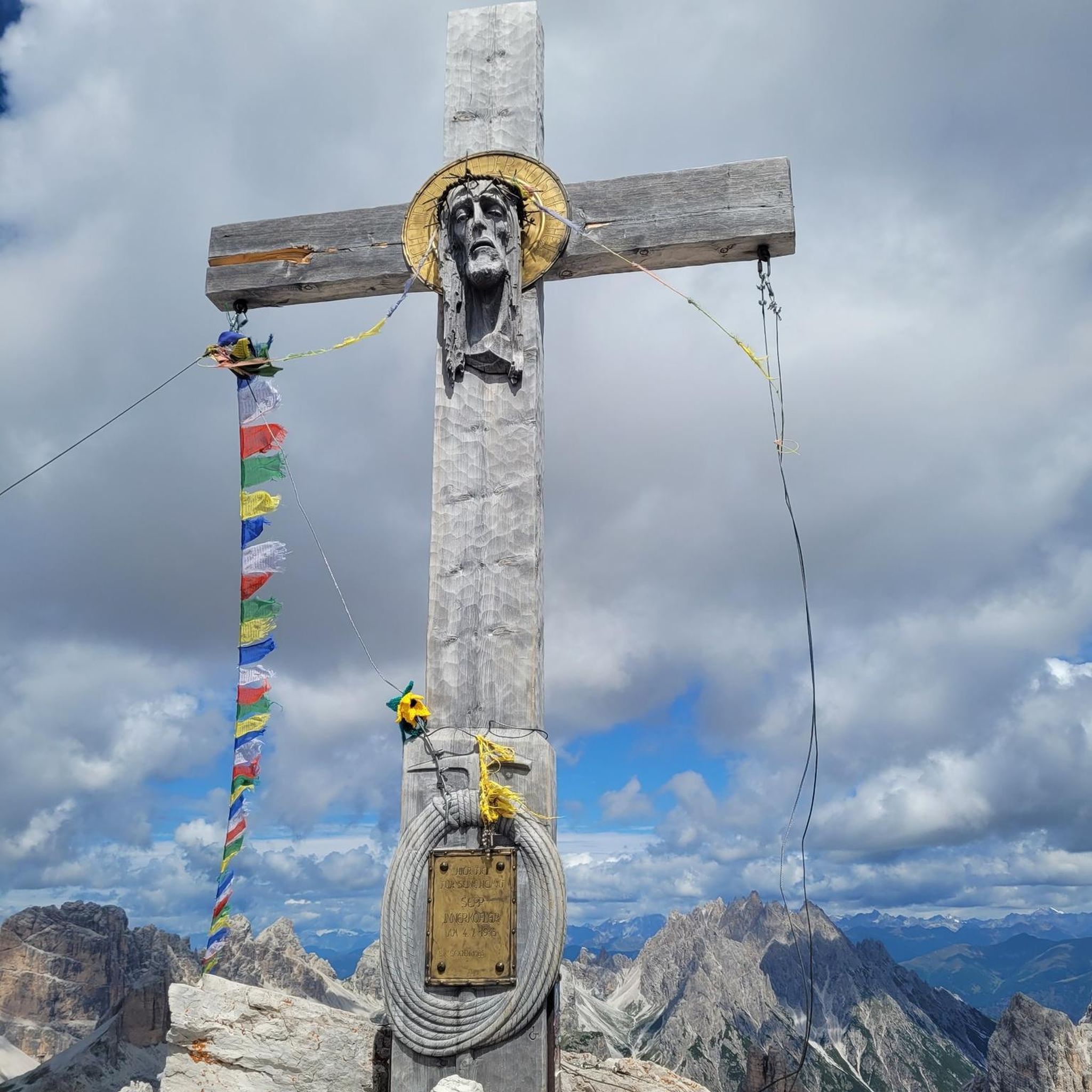
Mountain Hikes around Sasbach
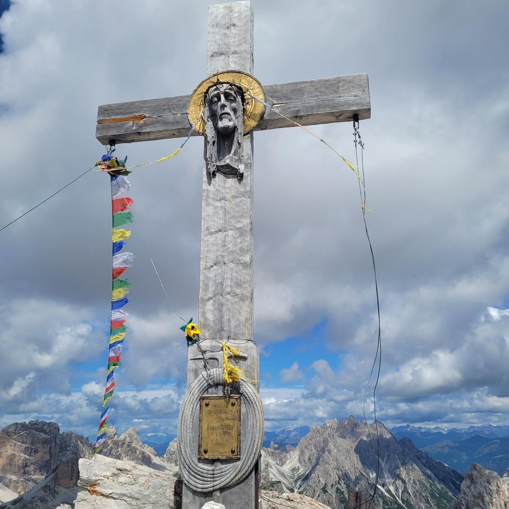
Mountain Hikes around Lauf
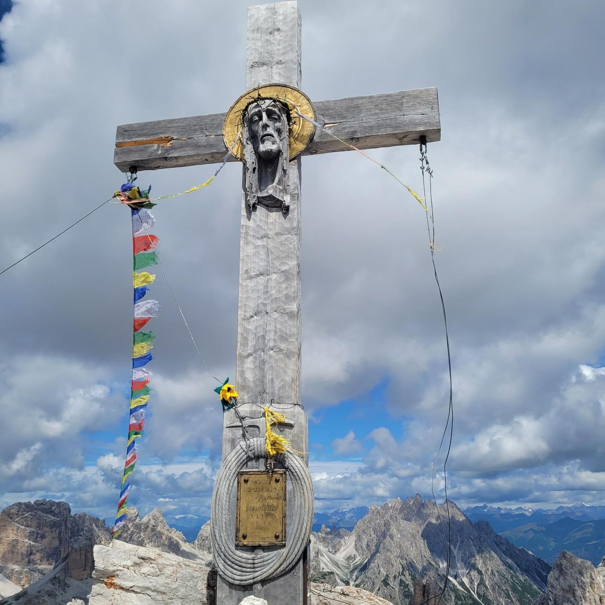
Mountain Hikes around Sasbachwalden
Mountain Hikes around Oppenau
Other adventures in the Ortenaukreis


Tips from the Community

On a sunny day, you have a beautiful view from the Hornisgrinde - towards the north.
7
0

Coming from the west, the first point with a great view and also easily accessible from the west - the difficult sections come further east.
0
0
Schnappsbrunnen with a smaller selection, but certainly lovingly made. Cooling is not done electrically but with cold (spring?) water flowing between the drink crates.
0
0

During the "Seebach - Hornisgrinde-MTB Panoramatour", here was a welcome opportunity for a refreshing drinking break. The Grinde-Hütte is characterized by its attractive scenic location and a very inviting and friendly area, which also offers gastronomic services.
1
0

a must if you like drinking schnapps
0
0
very nice wide view
1
0
super beautiful hiking trail
1
0

a beautiful place to recharge
0
0
Frequently Asked Questions
What kind of terrain can I expect on mountaineering routes in the Ortenaukreis?
The Ortenaukreis offers a diverse landscape for mountaineering. You'll find dense forests, gentle hills, and significant ridges. Routes often feature challenging mountain paths with considerable elevation gains, as well as scenic trails through quiet valleys and past waterfalls. The region is part of the Black Forest, known for its varied and sometimes demanding terrain.
Are there any particularly challenging mountaineering routes in the Ortenaukreis?
Yes, the Ortenaukreis has several challenging routes. For instance, the Edelfrauengrab Waterfalls – Karlsruher Grat loop is a difficult 8.7 km trail that includes the Karlsruher Grat, known for its expansive views and requiring sure-footedness. Another strenuous option is the Allerheiligen Monastery Ruins – Herrenschrofen viewpoint loop, an 14.1 km path with a significant ascent of 565 meters.
What are some notable natural landmarks or viewpoints I can discover on these routes?
The region is rich in natural beauty and viewpoints. You can explore the Karlsruher Grat, a ridge path offering expansive views. The Bismarck Tower on Hornisgrinde, the highest peak in the Northern Black Forest, provides incredible panoramic vistas. You might also encounter the picturesque Gaishöll Waterfalls or the serene Mummelsee.
Are there any circular mountaineering routes available?
Many mountaineering routes in the Ortenaukreis are designed as loops, allowing you to start and end at the same point. Examples include the Bismarck Tower on Hornisgrinde – Mummelsee loop, a moderate 4.3 km trail, or the more demanding Mummelsee – Hornisgrinde Tower loop from Seebach, which covers 16.3 km.
What do other mountaineers enjoy most about the routes in Ortenaukreis?
The mountaineering routes in Ortenaukreis are highly rated by the komoot community, with an average score of 4.8 stars. Reviewers often praise the diverse terrain, from challenging ridges to serene forest paths, and the stunning natural landmarks like waterfalls and panoramic viewpoints.
Are there any routes that feature waterfalls?
Yes, several routes incorporate the region's beautiful waterfalls. The Edelfrauengrab Waterfalls loop from Ottenhöfen is a difficult 13.1 km route that takes you past these natural monuments. You can also find the Gaishöll Waterfalls along some trails.
Are there any moderate mountaineering options for those looking for less strenuous climbs?
While many routes are challenging, there are moderate options available. The Hornisgrinde Summit – Mummelsee loop from Unterstmatt is a moderate 12.9 km trail with an elevation gain of 421 meters, offering a rewarding experience without extreme difficulty. Another moderate choice is the Haberer Tower – Marienruhe loop from Bad Peterstal-Griesbach, a 7.7 km route.
What is the highest point I can reach on a mountaineering route in Ortenaukreis?
The highest point you can reach is Hornisgrinde, which stands at 1,163 meters (3,816 feet) and is the highest peak in the Northern Black Forest. Several routes lead to or around its summit, such as the Bismarck Tower on Hornisgrinde – Mummelsee loop.
Are there any long-distance or multi-day mountaineering options?
While specific multi-day mountaineering tours are not detailed, the region offers an extensive network of well-signposted hiking trails, including long-distance routes like the Ortenauer Weinpfad, Kinzigtäler Jakobusweg, and Rheinauenweg. For a longer day trip, consider the difficult Geigerskopf Tower – St. Wendelin Chapel loop from Nesselried, which is 22.5 km long.
Can I find places to rest or get refreshments along the mountaineering routes?
Yes, the Ortenaukreis region has various huts and snack stops. For example, you might find the Darmstädter Hut or the Harkhof Snack Hut along some trails. It's always a good idea to check specific route details for refreshment points.
What are the typical elevation gains on mountaineering routes in this area?
Elevation gains vary significantly depending on the route's difficulty and length. Difficult routes can feature substantial ascents, such as the Edelfrauengrab Waterfalls – Herrenschrofen Rock Formation loop, which has an impressive 1188 meters of elevation gain. Moderate routes, like the Hornisgrinde Summit – Mummelsee loop, typically involve around 421 meters of ascent.
Are there any routes that offer views of the Rhine plain?
Given its location at the western edge of the Black Forest and extending into the Rhine plain, many higher vantage points in the Ortenaukreis offer views across the plain. Routes that ascend to prominent peaks or viewpoints, such as those around Hornisgrinde or the Karlsruher Grat, are likely to provide these expansive vistas.
Most popular routes in the Ortenaukreis
Most popular attractions in the Ortenaukreis

Get inspired with the komoot mobile app


Didn’t find what you were looking for?
Check out more Mountain Hikes & Routes throughout Ortenaukreis below and find the perfect route in your destination.
Explore more
Browse the best Mountain Hikes & Routes in other regions.
