The best running trails around Mühlhausen-Ehingen
4.6
(21)
124
runners
20
runs
Jogging around Mühlhausen-Ehingen offers a diverse landscape for runners. The region is characterized by varied terrain, including rolling hills and dense woodlands, providing a range of running experiences. Forest paths, such as those in the Mühlhausen City Forest, offer shaded routes, while river valleys and natural springs like the Aachquelle present flatter, scenic options. The Hegau region, with its volcanic formations, adds unique and elevated viewpoints for more challenging runs.
Best jogging routes around Mühlhausen-Ehingen
- The most popular jogging route…
Last updated: July 1, 2026
5.0
(2)
11
runners
7.25km
00:45
60m
60m
Moderate run. Good fitness required. Mostly paved surfaces. Suitable for all skill levels.
5.0
(3)
11
runners
3.99km
00:25
20m
20m
Easy run. Great for any fitness level. Mostly paved surfaces. Suitable for all skill levels.

Sign up for free
4
runners
18.2km
01:54
70m
70m
Hard run. Very good fitness required. Mostly paved surfaces. Suitable for all skill levels.
8
runners
9.16km
00:57
40m
40m
Moderate run. Good fitness required. Mostly paved surfaces. Suitable for all skill levels.
4.0
(1)
2
runners
13.1km
01:40
470m
470m
Hard run. Very good fitness required. Mostly paved surfaces. Suitable for all skill levels.
Get access to more routes and recommendations from other explorers.
Sign up for free
Already have an account?
Our route recommendations are based on thousands of hikes, rides, and runs completed by other people on komoot.
Start today with a free account
Your next adventure awaits.
Login or Signup

Other adventures around Mühlhausen-Ehingen

Tips from the Community

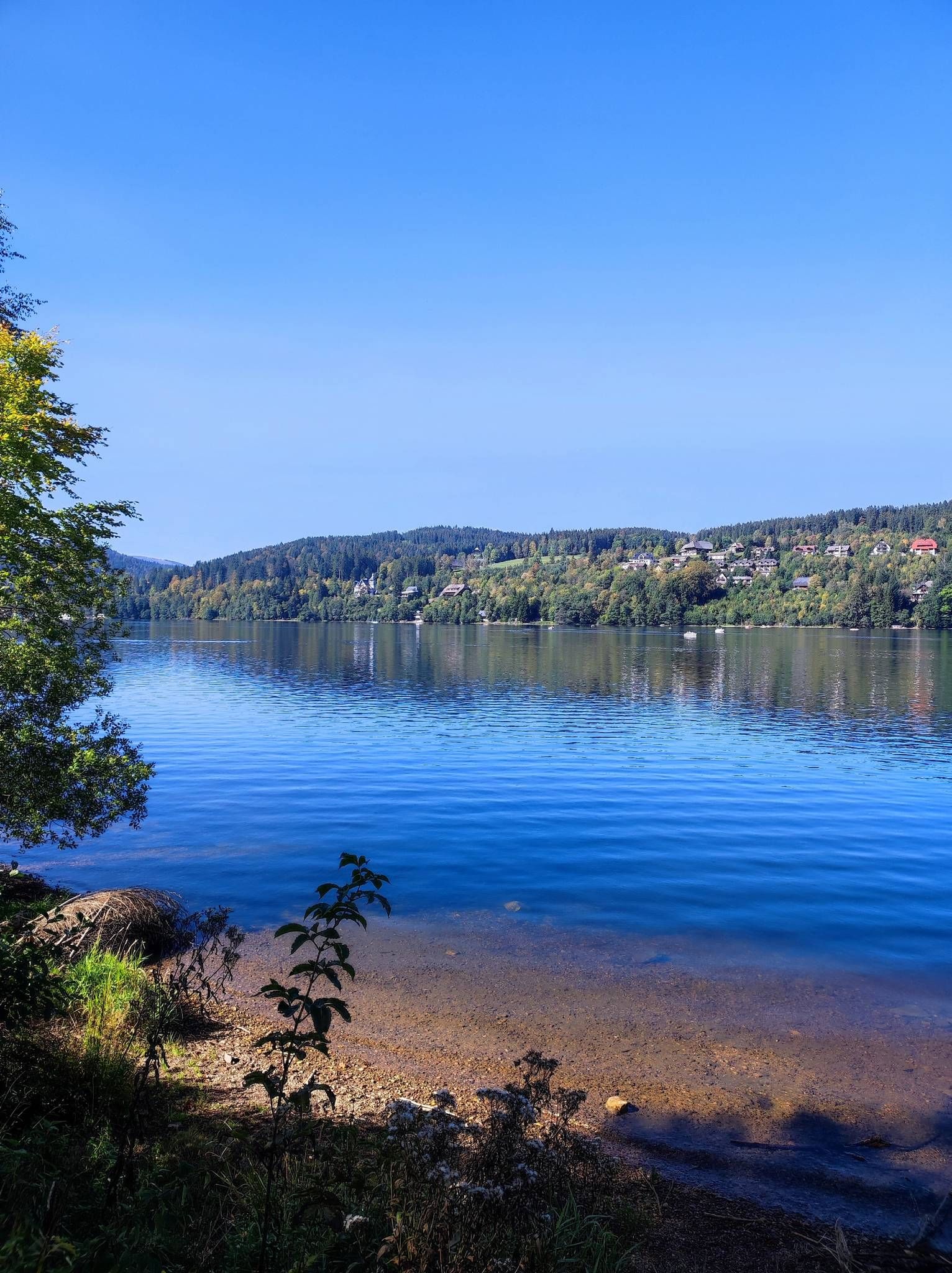
great path along the Aach you can drive to Rielasingen and Radolfzell
0
0

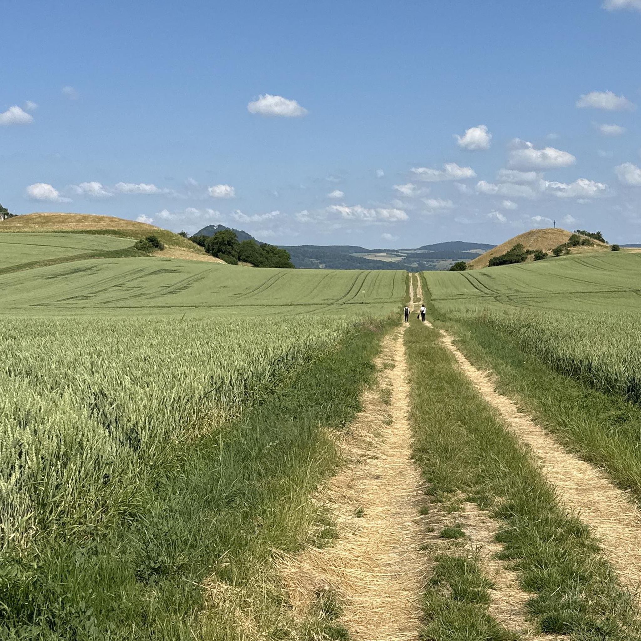
Very rustic farm fits perfectly into the Hegau
0
0

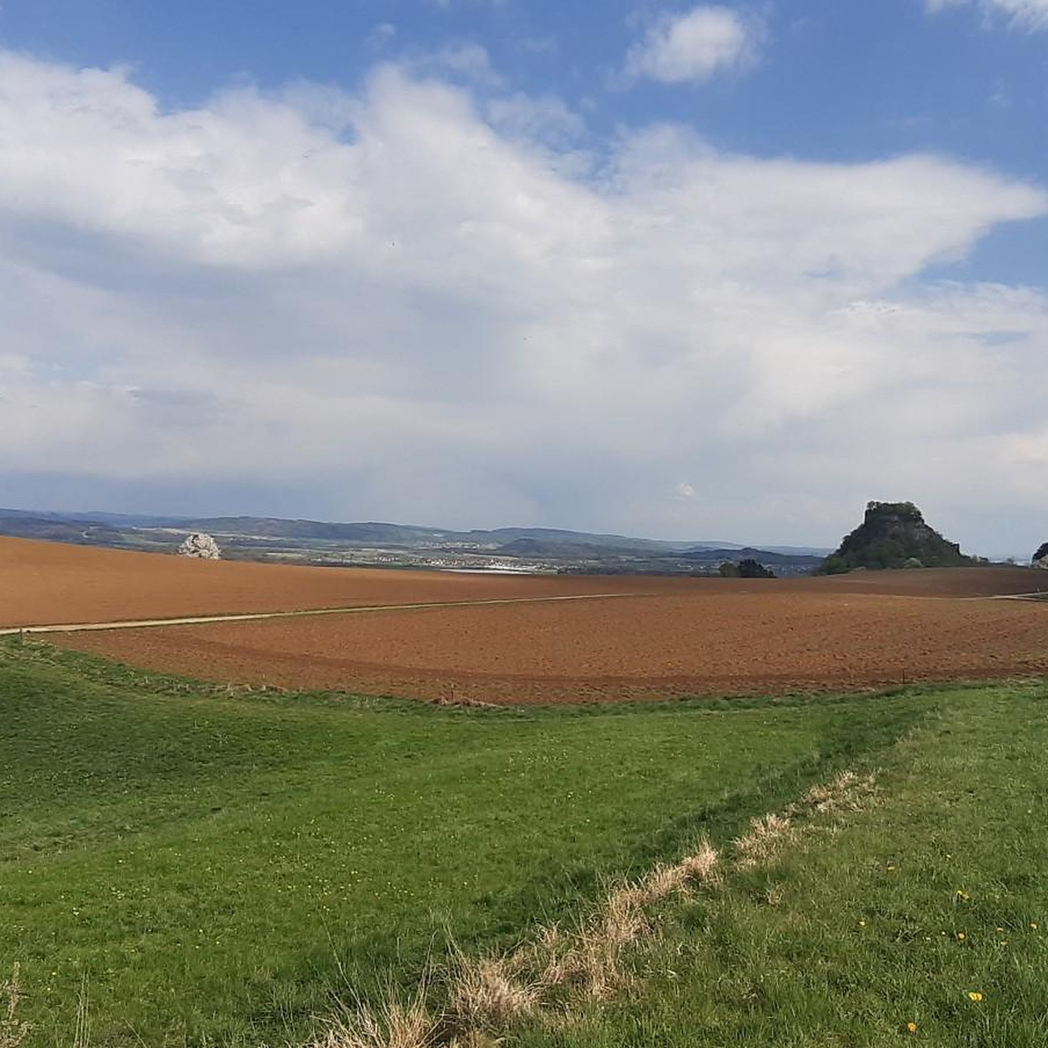
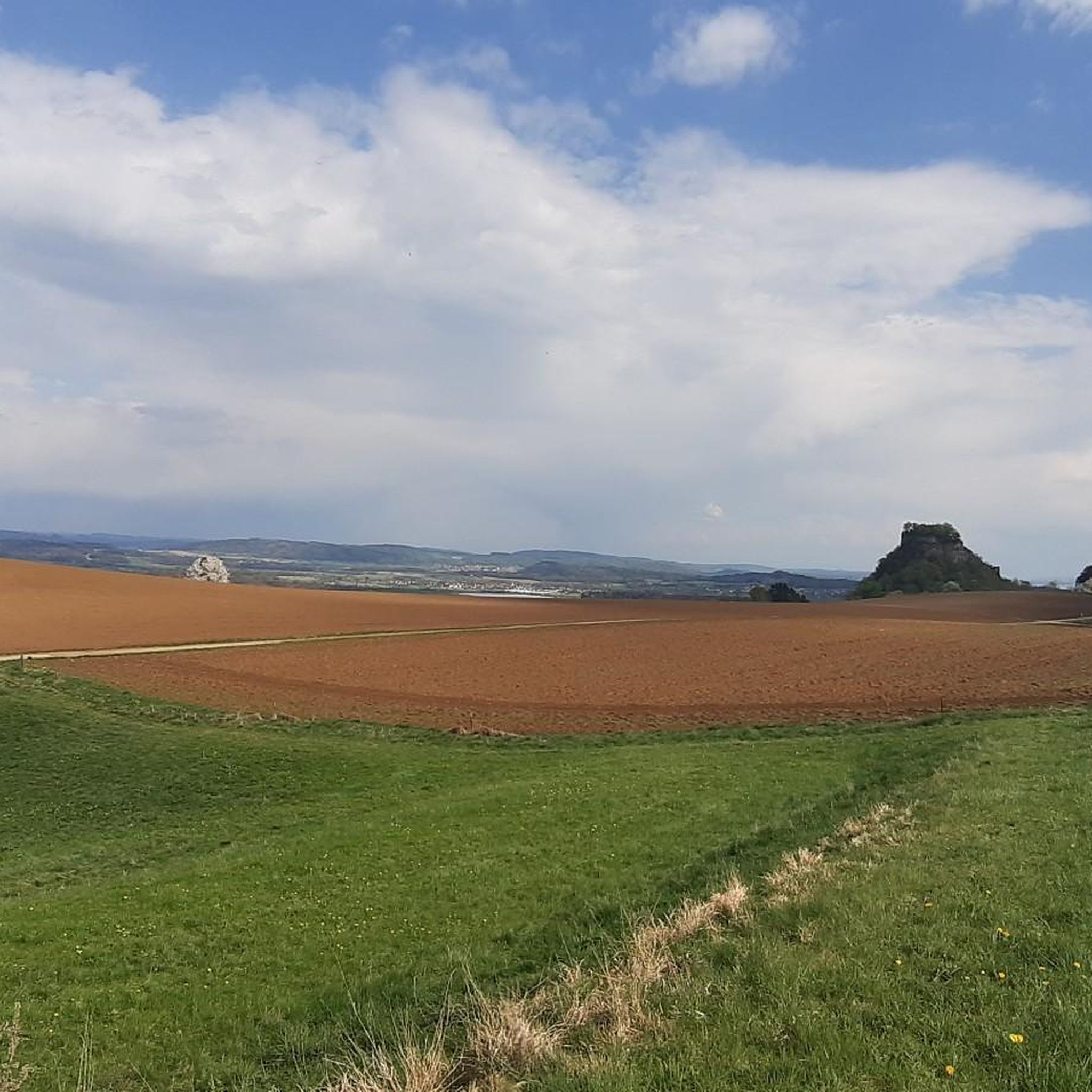
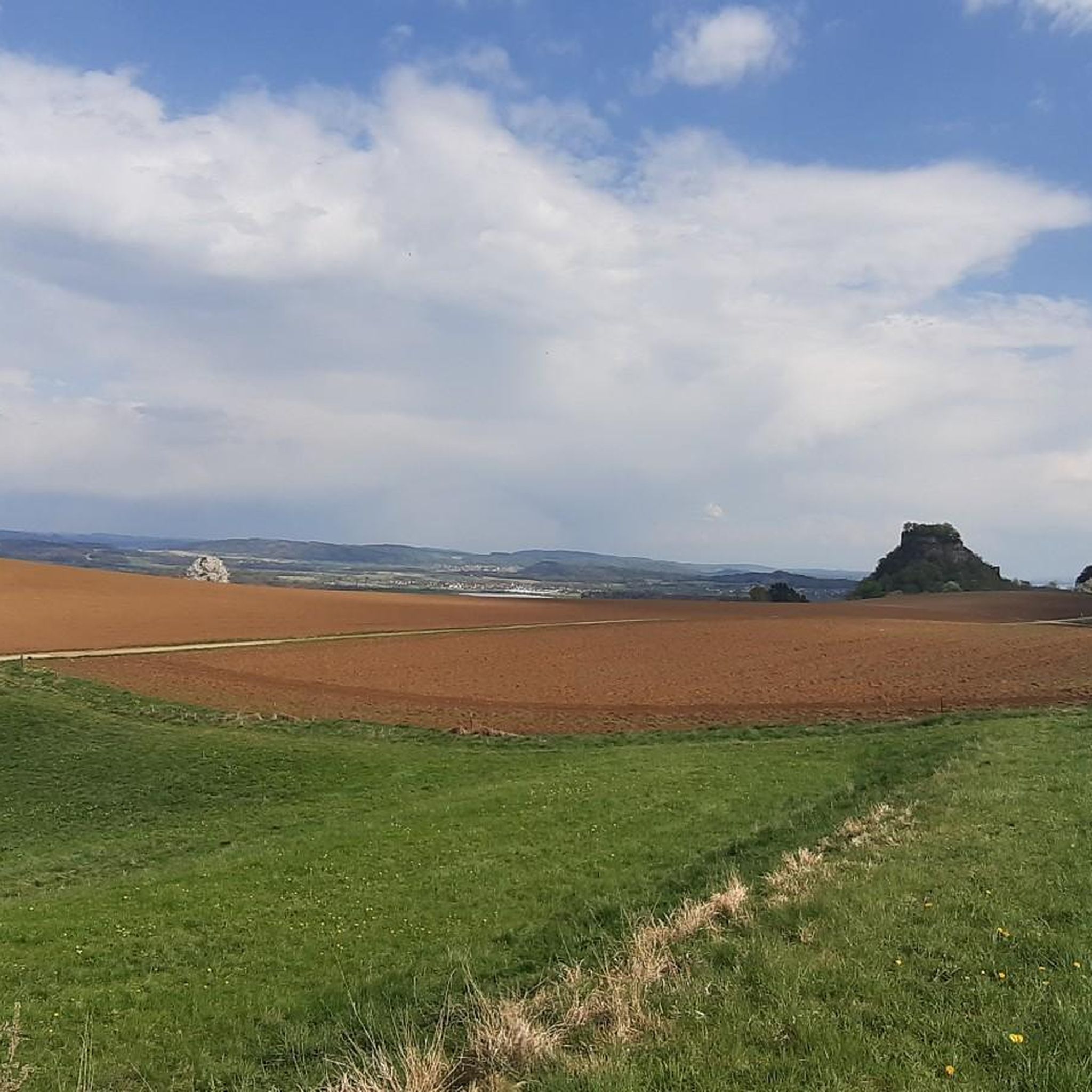
View of the phonolite cone on which the Hohenkrähen castle ruins are located
0
0

Nice place to linger. Benches, charging station for e-bikes and in the former transformer house there is a chest with delicious farm ice cream 🍦😋
0
0

Start as early as possible if you want to be alone
3
0

Nature reserve next to the Aach. Trees, shrubs and sedges along the river provide breeding opportunities for many birds.
2
0

Frequently Asked Questions
How many running routes are available in Mühlhausen-Ehingen?
There are over 20 diverse running routes around Mühlhausen-Ehingen, catering to various fitness levels and preferences. These include easy paths, moderate loops, and more challenging trails with elevation changes.
Are there easy running routes suitable for beginners?
Yes, Mühlhausen-Ehingen offers several easy running routes perfect for beginners. An excellent option is the Running loop from Ehinger Ried, which is 2.5 miles (4.0 km) long and leads alongside natural springs and open landscapes, typically completed in about 25 minutes.
Can I find challenging trails with significant elevation changes?
For runners seeking a challenge, the region provides routes with notable elevation. The Hohenstoffeln Summit – View from Sennhof loop from Hohenkrähen, for instance, is a difficult 8.1 miles (13.1 km) trail with substantial ascents, offering rewarding views of the Hegau volcanic landscape.
What kind of terrain can I expect on these jogging routes?
The jogging routes around Mühlhausen-Ehingen feature a diverse landscape. You'll encounter varied terrain, including rolling hills, dense woodlands, and picturesque river valleys. Many paths are shaded forest trails, while others offer open field views and routes alongside natural springs.
Are the running paths in Mühlhausen-Ehingen dog-friendly?
Many of the natural trails and forest paths in Mühlhausen-Ehingen are suitable for running with dogs. However, it's always recommended to check specific route details and local regulations regarding leashing requirements, especially in nature reserves or agricultural areas.
What natural attractions or landmarks can I see while jogging?
While jogging, you can discover several natural attractions. The region is known for its natural springs, such as the famous Aachtopf (Aach Spring), and scenic lakes like the Höwenegg Crater Lake. Some routes also offer views of the unique Hegau volcanic formations.
Are there any circular running routes?
Yes, many of the running routes in Mühlhausen-Ehingen are designed as circular loops, allowing you to start and finish at the same point. Examples include the popular Running loop from Hohenkrähen and the Running loop from Mühlhausen (bei Engen).
How can I get to the trailheads, and is parking available?
Access to trailheads often varies by route. Many routes start near villages or designated parking areas. While public transport options exist in the wider region, for specific trailheads, it's advisable to check the individual route descriptions for details on parking facilities or nearby bus stops.
Are there family-friendly running options?
Yes, the region offers family-friendly running paths that are generally flatter and shorter, making them suitable for all ages. The 'Heimatpfad 'rundum'' is an example of a path known for its picturesque landscapes and accessibility, ideal for a family outing.
What do other runners say about the trails in Mühlhausen-Ehingen?
The running routes in Mühlhausen-Ehingen are highly regarded by the komoot community, with an impressive average rating of 4.7 stars from over 15 reviews. Runners frequently praise the varied terrain, scenic views, and the well-maintained nature of the paths.
What's the best time of year to go running in this region?
Mühlhausen-Ehingen offers great running conditions throughout much of the year. Spring and autumn provide pleasant temperatures and beautiful scenery. During warmer summer months, the extensive forest paths offer welcome shade, making them ideal for comfortable jogs.
Are there routes that follow river valleys or pass by springs?
Absolutely. The region's geography includes several river valleys and natural springs. The Running – Along the Aach River loop from Mühlhausen (bei Engen) is a longer route that specifically follows the Aach River, offering picturesque views along the water.
Most popular routes around Mühlhausen-Ehingen
Most popular attractions around Mühlhausen-Ehingen

Get inspired with the komoot mobile app


Explore more
Browse the best Running Trails & Routes in other regions.
