The best walks and hikes around Sway
4.6
(4226)
26,884
hikers
25
hikes
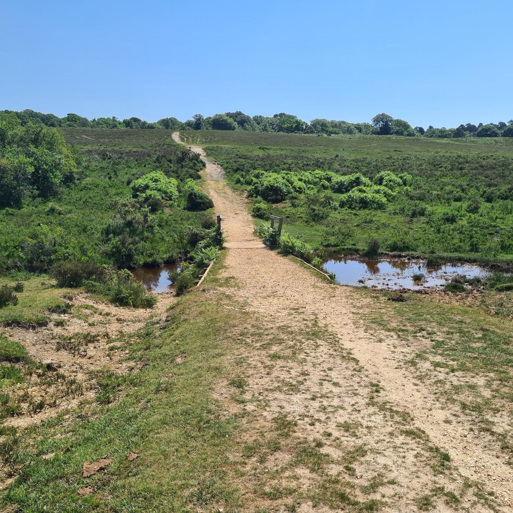
Hikes around Sway explore the southern edge of the New Forest National Park, offering a mix of landscapes. The region is characterized by open heathland, rolling meadows, and sections of ancient woodland. The terrain is generally gentle, with rivers like the Avon Water and Passford Water meandering through the countryside, making it suitable for a variety of circular walks near Sway.
Best hiking trails around Sway
- The most popular hiking route is Setley Pond – View of Longslade Bottom loop from Sway, a 9.5 mile (15.3 km) trail that takes around 3 hours 58 minutes to complete. This moderate hike passes Setley Pond and offers views across Longslade Bottom.
- Another top favourite among local hiking enthusiasts is Avon Water Paddle Spot – Setthorns Campsite loop from Sway, a moderate 7.0 mile (11.2 km) path. The route follows sections of the Avon Water and passes near Setthorns Campsite.
- Local hiking enthusiasts also love the The Silver Hind Pub – Setthorns Campsite loop from Sway, a 3.7 mile (5.9 km) trail leading through woodland, often completed in about 1 hour 34 minutes.
- Hiking around Sway is defined by open heathlands, ancient woodlands, and paths along meandering rivers. The network of trails provides options for both short, easy walks and longer, more moderate hikes.
- The routes in Sway are highly rated by the komoot community with an average score of 4.6 stars from more than 1,400 reviews. More than 13,000 hikers have used komoot to explore Sway's varied terrain.
Last updated: August 11, 2026
5.0
(3)
24
hikers
4.76km
01:14
30m
30m
Easy hike. Great for any fitness level. Easily-accessible paths. Suitable for all skill levels.
5.0
(3)
14
hikers
11.1km
02:55
100m
100m
Moderate hike. Good fitness required. Easily-accessible paths. Suitable for all skill levels.

Sign up for free
5.0
(1)
19
hikers
5.79km
01:32
60m
60m
Easy hike. Great for any fitness level. Easily-accessible paths. Suitable for all skill levels.
4.8
(5)
16
hikers
15.4km
04:00
100m
100m
Moderate hike. Good fitness required. Easily-accessible paths. Suitable for all skill levels.
5.0
(2)
21
hikers
4.59km
01:12
30m
30m
Easy hike. Great for any fitness level. Easily-accessible paths. Suitable for all skill levels.
Get access to more routes and recommendations from other explorers.
Sign up for free
Already have an account?
Our route recommendations are based on thousands of hikes, rides, and runs completed by other people on komoot.
Start today with a free account
Your next adventure awaits.
Login or Signup
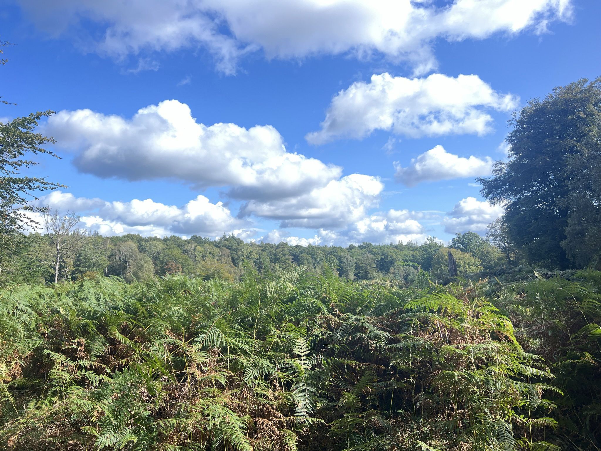

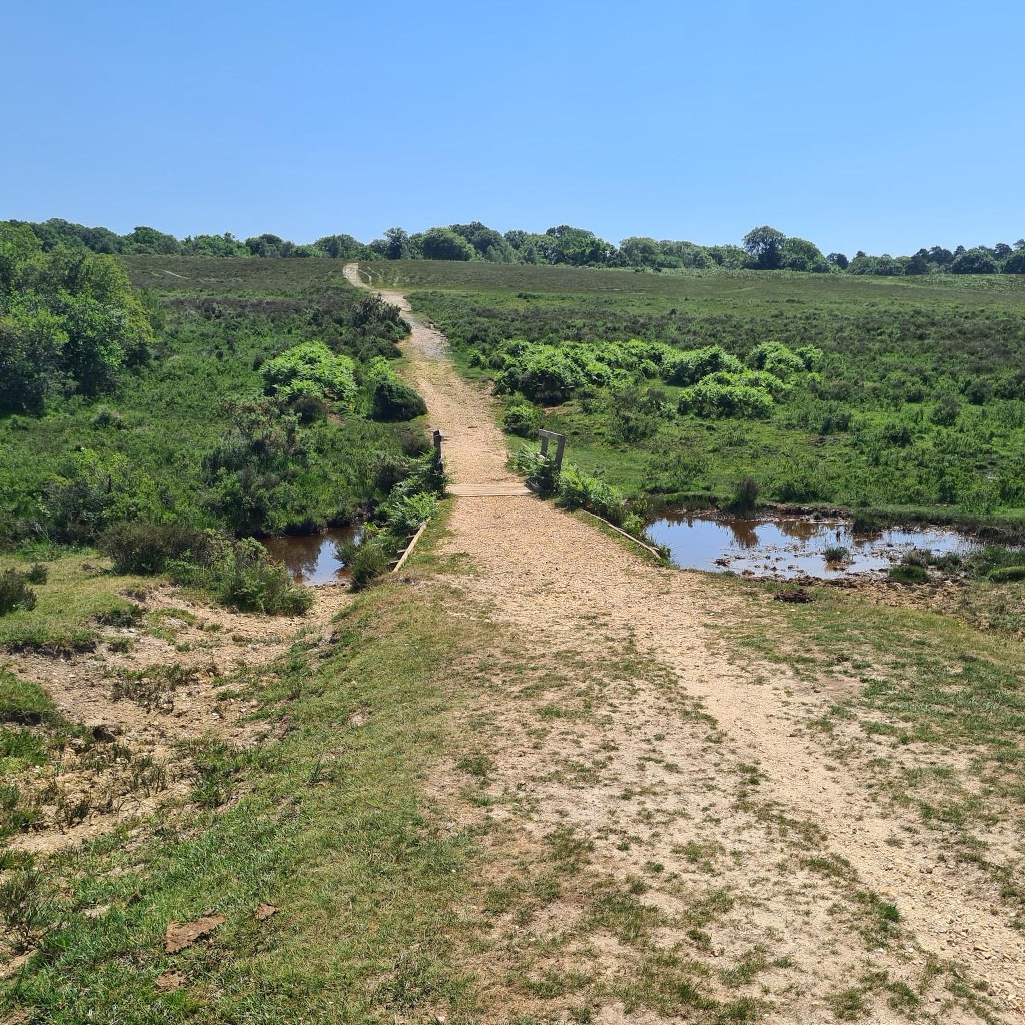
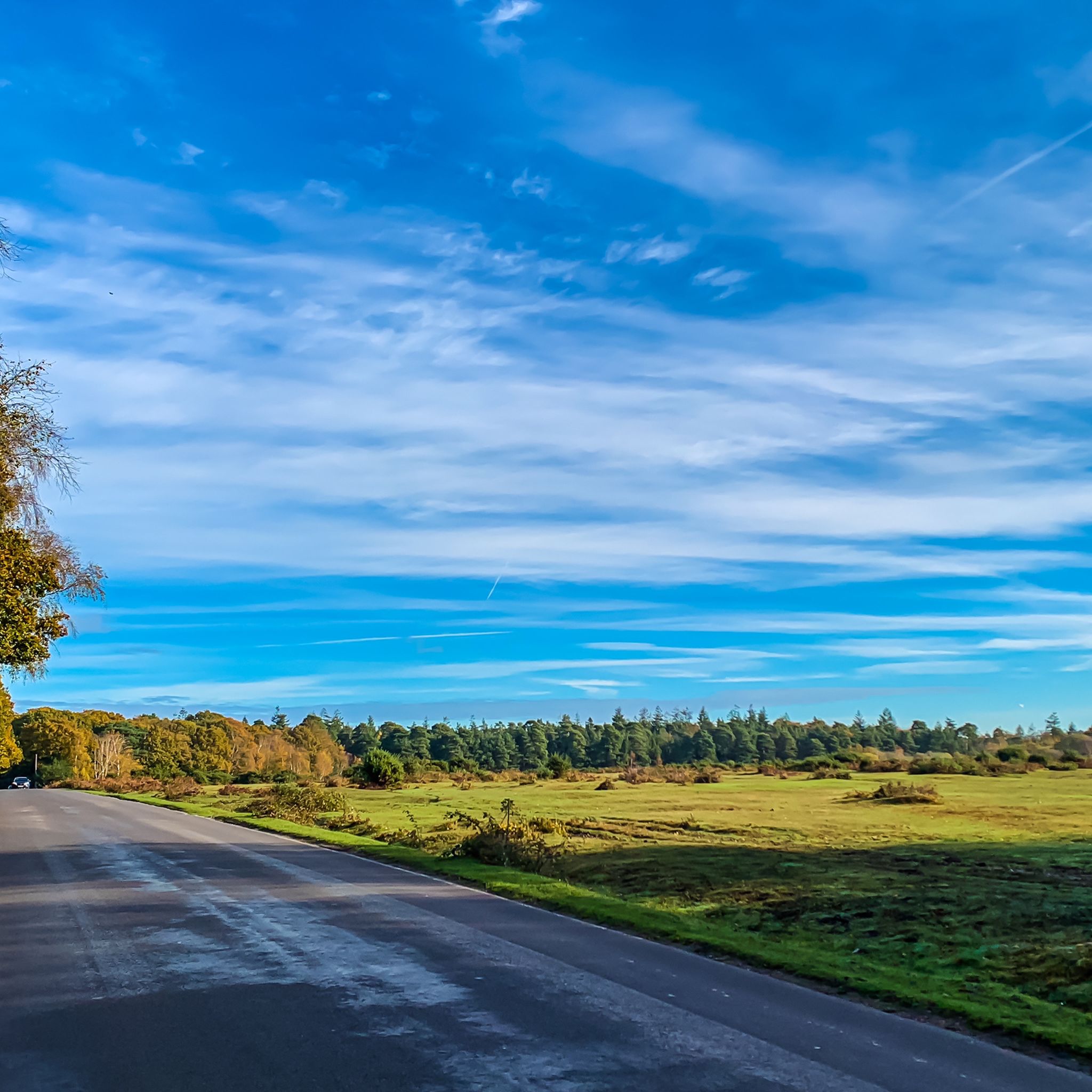
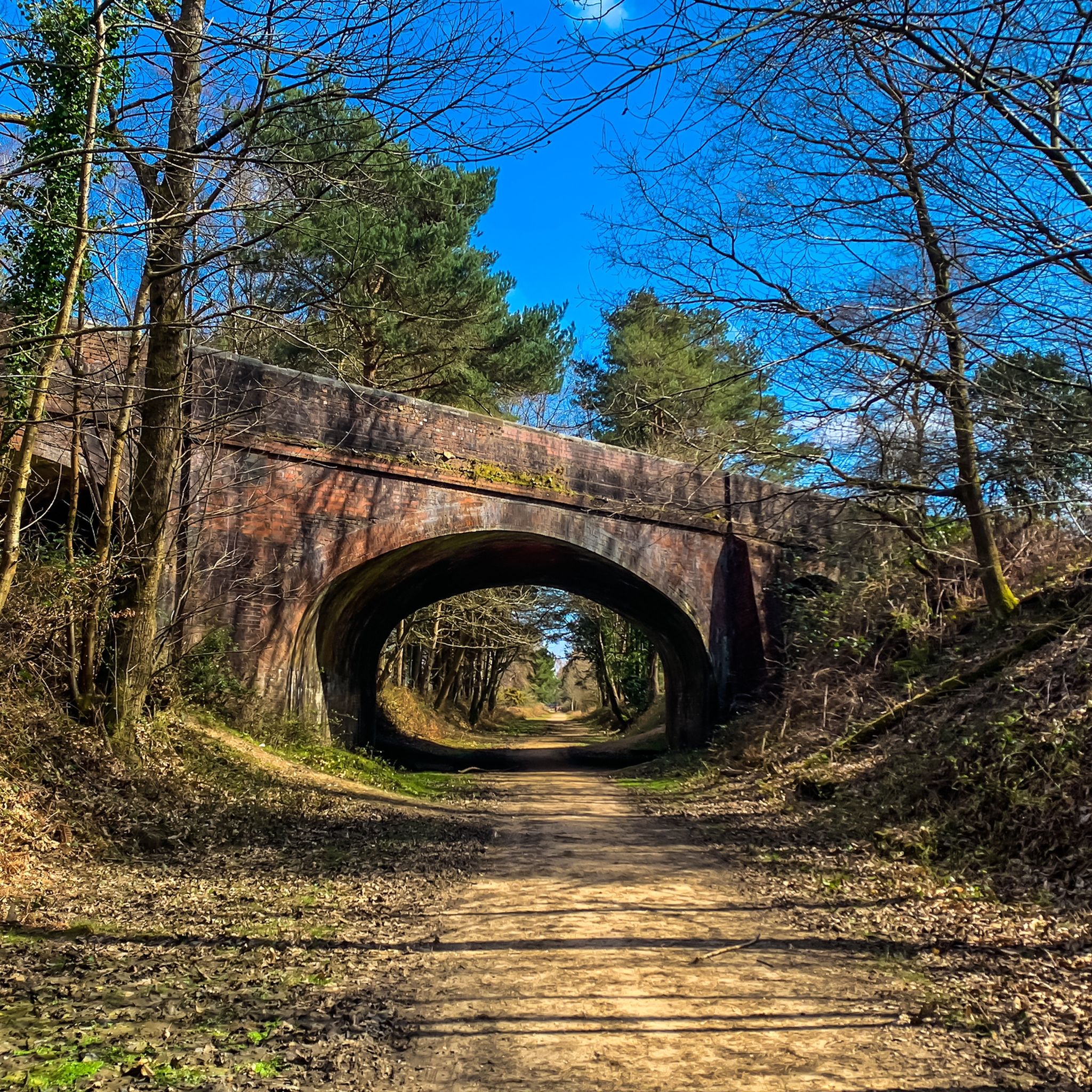
Other adventures around Sway

Tips from the Community

In New Forest lore, Pony Pasture is where wild mares bring newborn foals for safety. Blessed by woodland spirits, its sweet clover grounds young ponies, granting them the agile hooves needed to navigate treacherous bogs.
0
0
The Phantom of Hincheslea The smugglers actively nurtured these terrifying rumors. They draped wet horse blankets over bent boughs to mimic looming monsters, tied iron chains to wild ponies to rattle through the dark, and spread whispers of the "Hincheslea Phantom"—a vengeful ghost said to drag intruders into bottomless quagmires. For those brave enough to ignore the ghost stories, the woods held physical dangers: False Paths: Smugglers laid decoy tracks leading directly into treacherous, knee-deep peat bogs. Tripwires: Hidden cords tied to low branches snapped heavy wooden clappers together, mimicking the crack of a pistol shot to panic unwanted visitors. Pits & Snags: Covered pits lined with sharp gorse bushes awaited anyone wandering off the main trails. Between the ghastly noises, the mysterious flickering lights, and the constant threat of a sudden trap, local villagers and cautious rangers gave Hincheslea Woods a wide berth. By the time the sun rose over the forest, the lanterns were extinguished, the traps were disarmed, and the smugglers had melted away into the mist—leaving behind only whispers of ghosts.
0
0
In the early 1800s, when the moon dipped low over the New Forest, Hincheslea Woods belonged to the Free Traders. Beneath the dense, tangled canopy, smugglers transformed the ancient woodland into a fortress of shadows to stash their illegal casks of French brandy, tea, and fine silk. Signals in the Canopy The smugglers built an ingenious network of light to keep the King’s Officers at bay. High in the ancient oaks, "lookout boys" were stationed with darkened lanterns. A single, steady amber glow meant the tracks were clear to Whitefield Moor. A quick double-flash signaled that rangers were approaching on horseback. A steady red lantern meant vanish into the bogs. To an outsider, these fleeting lights flickered through the branches like eerie, floating orbs, giving rise to rumors that Hincheslea was hopelessly haunted.
0
0


Cosy Pub with a beer garden and very delicious fish and chips.
0
0


Super cafe cafe, lovely service with an amazing breakfast. Check out our Bike'n'Brunch bike hire experience which includes a VIP table with full English and bottomless hot drinks at this deli: jaunt-ebikes.co.uk
0
0

More Information
FAQs about hiking around Sway
-
What is the terrain like for hiking around Sway?
Hiking around Sway features predominantly open meadows and grasslands, complemented by significant wooded areas. The terrain is generally gently rolling, with some modest elevation changes like Blackhamsley Hill for those seeking a bit more challenge. -
Are there hiking options for all skill levels in Sway?
Yes, Sway caters to all levels of nature enthusiasts, offering a variety of hiking routes from leisurely strolls suitable for families to longer treks that provide a moderate challenge. Routes are available for easy and moderate difficulties. -
What kind of scenery can I expect on hikes in Sway?
Hikes in Sway provide a captivating glimpse into the New Forest, with expansive open meadows, tranquil woodlands, and picturesque water features like the Avon Water, Passford Water, and Frank Bussey Pool. You might also spot the New Forest's famous ponies grazing. -
Are there long or short hiking routes available in Sway?
Sway offers both short and longer hiking options. For instance, the easy The Silver Hind Pub – Setthorns Campsite loop is about 5.9 km (3.7 miles) taking 1 hour 30 minutes, while moderate routes like the Setley Pond loop extend to 15.3 km (9.5 miles) and take about 4 hours. -
Which are some popular hiking routes in Sway?
Among the most popular routes are the moderate Avon Water Paddle Spot – Setthorns Campsite loop from Sway (11.2 km / 7 miles) and the easy The Silver Hind Pub – Setthorns Campsite loop from Sway (5.9 km / 3.7 miles). -
Can I see wildlife like New Forest ponies while hiking in Sway?
Yes, as Sway is nestled within the New Forest National Park, it's common to spot local fauna, including the famous New Forest ponies, particularly as you wander through the region's woodlands and open spaces. -
Are there routes that pass by water features in Sway?
Several rivers, including the Avon Water and Passford Water, meander through the countryside, and the Frank Bussey Pool, along with other small lakes, provide serene settings for walks near water.
Frequently Asked Questions
Are there any good circular walks starting from Sway?
Yes, Sway is an excellent starting point for circular hikes. The surrounding New Forest landscape is well-suited for loops that bring you back to the village. For a shorter, easy walk that still gives you a great feel for the area, consider the The Silver Hind Pub – The Silver Hind loop from Sway, which is under 5 km.
Where can I find walks suitable for the whole family?
The area around Sway offers several family-friendly options. The terrain is generally gentle, and many paths are easy to follow. A great destination is the The Silver Hind Pub – Setthorns Campsite loop from Sway, which is a relatively short and easy walk through woodland. For an even more memorable outing, the nearby Blackwater Arboretum features the Tall Trees Trail, a well-maintained path that is perfect for all ages to see some of Britain's oldest Douglas firs.
Are dogs allowed on the hiking trails around Sway?
Yes, the New Forest is very welcoming to dogs. Most trails around Sway are dog-friendly, but it's important to be mindful of the free-roaming ponies, donkeys, and other wildlife. Keep your dog under control, and be prepared to put them on a lead, especially during bird nesting season (March to July) or when livestock is near.
Can I reach the trails using public transport?
Absolutely. Sway has its own train station with direct connections to major towns, making it very accessible without a car. Many excellent walks begin right from the village, allowing you to step off the train and onto a trail within minutes.
Where are the best places to park for a walk?
While many hikes can be started from the village centre, some specific locations offer dedicated parking. The Blackwater Arboretum, a popular spot for its scenic trails, has several car parks. It's a good idea to arrive early, especially on weekends, as they can fill up quickly. Other trailheads may have smaller, informal parking areas.
Are there any pubs or cafes on the walking routes?
Yes, you can easily combine a walk with a stop for refreshments. The village of Sway has pubs, such as The Silver Hind, which is a popular start or end point for several local loops. Planning your route to pass through the village mid-hike is a great way to take a break.
What is the terrain like on the hikes around Sway?
The hiking around Sway is characterized by a pleasant variety of classic New Forest landscapes. You can expect to walk across open, rolling heathland, through ancient woodlands with established paths, and along the banks of gentle rivers like the Avon Water. The terrain is mostly flat or gently undulating, with very few steep climbs.
What kind of wildlife might I see while hiking?
The New Forest is famous for its free-roaming ponies and donkeys, which you are very likely to encounter on trails around Sway. Depending on the season, you might also see pigs during the autumn 'pannage' period. The diverse habitats also support various deer and bird species, especially in quieter woodland areas and near the Keyhaven Marshes.
Are there any long-distance hiking options from Sway?
Yes, for those seeking a more challenging day out, there are longer treks available. You can connect various paths to create extended routes through the National Park. A good example of a longer moderate hike is the Whitefield Moor – Ober Water loop from Sway, which covers over 16 km and explores different parts of the forest.
What do other hikers enjoy most about the trails in Sway?
The area is highly regarded by the komoot community, with an average rating of 4.6 stars from over 1,400 reviews. Hikers often praise the classic New Forest scenery, the mix of open heath and sheltered woodland, and the frequent sightings of free-roaming ponies. The accessibility of the trails directly from the village is also a frequently mentioned highlight.
Are there any trails with good views or scenic spots?
Many trails offer lovely pastoral scenery. For expansive views across the heathland, the Setley Pond – View of Longslade Bottom loop from Sway is a great choice. For picturesque river scenes, look for routes that follow the Avon Water, such as the Avon Water Paddle Spot – Setthorns Campsite loop from Sway.
Most popular routes around Sway
Most popular attractions around Sway

Get inspired with the komoot mobile app


Explore more
Browse the best Hikes in other regions.
