The best road cycling routes around Mynyddbach
4.5
(162)
8,762
riders
184
rides
Road cycling routes around Mynyddbach traverse a diverse Welsh landscape, offering varied terrain for cyclists. The region features picturesque countryside with panoramic vistas of the central Bannau Brycheiniog mountains and various Welsh Valleys. Cyclists can encounter undulating interior roads, as well as routes that may include significant elevation gains. The area provides a mix of challenging climbs and more leisurely sections, often passing through woodlands and open fields.
Best road cycling routes around Mynyddbach
- The most popular road cycling route is Devil's Elbow and Bwlch Bryn-Rhudd loop from Swansea, a 56.8 miles (91.4 km) trail that takes 4 hours 13 minutes to complete. This difficult route features significant elevation changes through scenic Welsh passes.
- Another top favourite among local road cyclists is Bus Stop Shelter – Swansea Marina loop from Manselton, an easy 10.3 miles (16.7 km) path. This route offers a relatively flat ride with views towards Swansea Marina.
- Local road cyclists also love the Heol y Mynydd – Mynydd Pysgodlyn loop from Morriston, a 21.4 miles (34.5 km) trail leading through hilly terrain, often completed in about 2 hours 7 minutes.
- Road cycling around Mynyddbach is defined by picturesque Welsh countryside, undulating roads, and views of the Bannau Brycheiniog mountains. The network offers options for different ability levels, from easy loops to difficult climbs.
- The routes in Mynyddbach are highly rated by the komoot community with an average score of 4.5 stars from over 150 reviews. More than 8,000 road cyclists have used komoot to explore Mynyddbach's varied terrain.
Last updated: July 8, 2026
5.0
(1)
97
riders
91.4km
04:14
990m
980m
Prepare for a challenging racebike adventure on the Devil's Elbow and Bwlch Bryn-Rhudd loop from Swansea. This difficult route spans 56.8 miles (91.4 km) and demands good fitness, taking around 4 hours and 13 minutes to complete. As you cycle, you will climb a significant 3236 feet (986 metres), experiencing the rugged beauty of Bannau Brycheiniog National Park. Expect expansive moorland, undulating common land, and sweeping views of valleys and rolling hills, especially as you approach the Devil's Elbow.
This road cycling route begins in Swansea, providing convenient access to the Brecon Beacons. While specific parking details are not provided, you can generally find parking options within Swansea itself or at various points along the route once you enter the National Park. Always remember to check local signage for any parking regulations before you leave your vehicle.
The Devil's Elbow section of the route offers a true sense of isolated wilderness, where clear days reveal dramatic scenery and sprawling pastureland. Near the summit of the Devil's Elbow, you can also spot the ancient Maen Llia Standing Stone, adding a touch of history to your ride through this wild landscape. This trail is a fantastic way to immerse yourself in the natural grandeur of the park.
5.0
(1)
45
riders
23.7km
01:02
90m
90m
Easy road ride. Great for any fitness level. Mostly well-paved surfaces and easy to ride.

Sign up for free
21
riders
34.5km
02:08
840m
840m
Moderate road ride. Good fitness required. Mostly well-paved surfaces and easy to ride.
15
riders
35.0km
01:35
190m
190m
Easy road ride. Great for any fitness level. Mostly well-paved surfaces and easy to ride.
16
riders
48.2km
02:05
310m
310m
Moderate road ride. Good fitness required. Mostly well-paved surfaces and easy to ride.
Get access to more routes and recommendations from other explorers.
Sign up for free
Already have an account?
Our route recommendations are based on thousands of hikes, rides, and runs completed by other people on komoot.
Start today with a free account
Your next adventure awaits.
Login or Signup
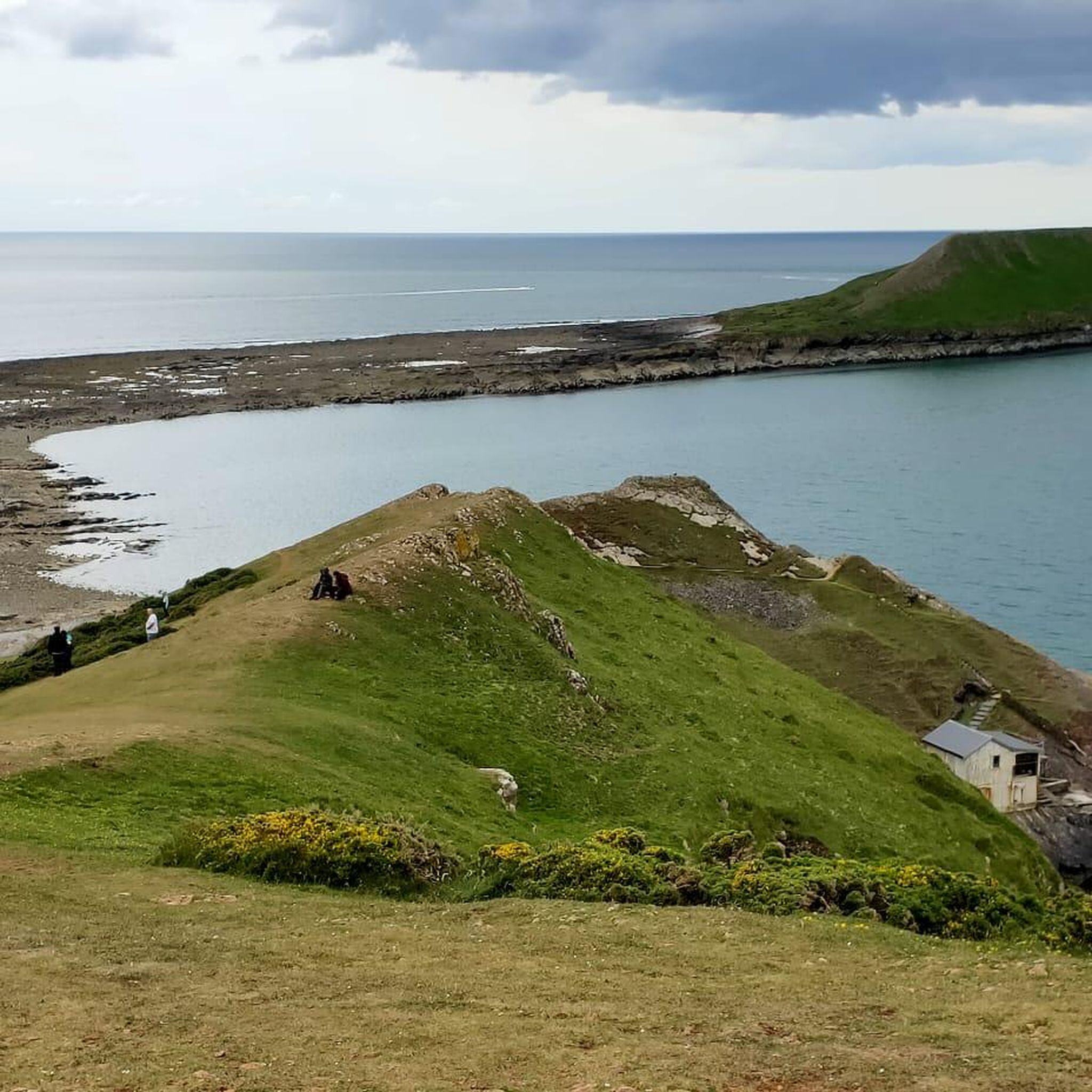


Tips from the Community

Lots of wide pavement around the water, wasn't too busy on a Sunday afternoon but I imagine it gets rammed with people sometimes.
0
0
This bridge gives a really good view! I know that is a statement of the obvious, but after being down at canal level for so long you are suddenly in the sky for a few minutes.
0
0

Margam Castle, Margam, Port Talbot, Wales, is a late Georgian country house built for Christopher Rice Mansel Talbot. Designed by Thomas Hopper, the castle was constructed in a Tudor Revival style over a five-year period, from 1830 to 1835. The site had been occupied for some 4,000 years
0
0

Here lies a huge unexpected sandy beach between the industrial edges of Swansea and Port Talbot. Known as Aberavon Sands, it's one of the longest beaches in Wales. You can cycle on the long promenade and and enjoy a vibrant atmosphere.
1
0
This is a great section of NCN 4 which crosses over the River Neath parallel to the elevated M4 motorway. It's quite an industrial stretch but the views are great, and the cycle path is segregated from the road.
3
0

surfing weather, crosswind makes for interesting steering!
0
0


Situated in the beautiful wilderness between the Breacon Beacons and the Black Mountain overlooked by the hills of Fan Fawr and Fan Gihirych, Maen Llia is a truly massive sliver of rock. While it is over 3.5 metres tall and nearly 3 metres wide, it is only 75 centimetres thick and bears a striking resemblance to a giant Neolithic hand axe. Although it is aligned north to south, the sides of the rock become surprisingly warm to the touch on a sunny day. This must have been an important pass between the hills, both to the local prehistoric population and to the Romans who came this way some 3000 years later - they built the road 'Sarn Helen' right by the stone and the current road still follows part of its course.
0
0
Frequently Asked Questions
How many road cycling routes are available around Mynyddbach?
There are over 190 road cycling routes in the Mynyddbach area, offering a wide range of options for different skill levels and preferences. These routes are highly rated by the komoot community, with an average score of 4.5 stars.
What kind of terrain can I expect on Mynyddbach road cycling routes?
Road cycling around Mynyddbach features diverse Welsh landscapes, from picturesque countryside with panoramic vistas of the central Bannau Brycheiniog mountains to undulating interior roads. You'll find a mix of challenging climbs and more leisurely sections, often passing through woodlands and open fields. Some routes may involve significant elevation gains.
What is the best time of year for road cycling in Mynyddbach?
The best time for road cycling in Mynyddbach is generally during the spring, summer, and early autumn months. During these seasons, the weather is typically more favorable, offering pleasant temperatures and less chance of rain, allowing you to fully enjoy the scenic landscapes and diverse terrain.
Are there road cycling routes suitable for beginners in Mynyddbach?
Yes, Mynyddbach offers several road cycling routes suitable for beginners. For example, the Bus Stop Shelter – Swansea Marina loop from Manselton is an easy 10.3-mile (16.7 km) path with a relatively flat ride. Another easy option is the Aberavon Beach Promenade – Aberavon Beach loop from Llansamlet, which covers 35 km with moderate elevation.
Are there challenging road cycling routes for experienced cyclists?
Absolutely. Experienced cyclists looking for a challenge will find routes with significant elevation gains. The Devil's Elbow and Bwlch Bryn-Rhudd loop from Swansea is a difficult 56.8-mile (91.4 km) route with nearly 1000 meters of elevation gain, traversing scenic Welsh passes.
Can I find circular road cycling routes in the Mynyddbach area?
Yes, many of the road cycling routes around Mynyddbach are designed as loops, allowing you to start and end at the same point. Examples include the Devil's Elbow and Bwlch Bryn-Rhudd loop from Swansea and the Heol y Mynydd – Mynydd Pysgodlyn loop from Morriston.
What natural attractions or landmarks can I see along the road cycling routes?
While cycling, you can encounter various natural attractions. The area features picturesque Welsh countryside with views of the Bannau Brycheiniog mountains. You might also pass by bodies of water like Upper Lliw Reservoir or Lower Lliw Reservoir. For coastal views, routes near Anglesey offer stunning sea vistas.
Are there any waterfalls accessible from the road cycling routes?
Yes, there are waterfalls in the vicinity that you might be able to incorporate into your cycling trip or visit nearby. Notable waterfalls include Penllergare Waterfall and Llewellyn Bridge and Waterfall, offering beautiful natural sights.
Where can I park my car when going road cycling in Mynyddbach?
Parking options vary depending on your chosen starting point. Many routes begin near towns like Swansea, Manselton, or Morriston, where public parking facilities may be available. It's advisable to check specific parking arrangements for your chosen route's trailhead beforehand.
Is Mynyddbach accessible by public transport for cyclists?
The Mynyddbach area, particularly locations close to larger urban centers like Swansea, can be accessed by public transport. Some bus services may accommodate bicycles, but it's essential to verify with the specific transport provider for their current policies and schedules before planning your journey.
Are there places to eat or stay near the road cycling routes in Mynyddbach?
Yes, the Mynyddbach region, especially around towns like Swansea, offers various cafes, pubs, and accommodation options. You'll find places to refuel and rest in areas such as Mumbles, Gower, Pontarddulais, and even towards the Brecon Beacons, depending on your route and where you choose to explore.
What are the characteristics of the <a href="https://www.komoot.com/smarttour/35094211" target="_blank" rel="noopener">Mount Vernon Motte loop from Llansamlet</a>?
The Mount Vernon Motte loop from Llansamlet is an easy 45.2 km road cycling route. It typically takes around 1 hour 57 minutes to complete and features a moderate elevation gain of about 280 meters, making it a good option for a leisurely yet engaging ride.
Most popular attractions around Mynyddbach

Get inspired with the komoot mobile app


Explore more
Browse the best Road cycling routes in other regions.
