Attractions and Places To See around Tidmarsh - Top 20
Attractions and places to see around Tidmarsh, Berkshire, include historical sites, natural features, and walking routes. The area is situated near the River Thames, which forms a boundary between Oxfordshire and West Berkshire. Tidmarsh offers a landscape shaped by its historical connections, including ancient buildings and significant waterways. It provides opportunities to explore both cultural landmarks and natural environments.
Best attractions and places to see around Tidmarsh
- The most popular attractions is River Thames, a viewpoint that flows 338…
Last updated: October 9, 2026
River Thames
Highlight • Viewpoint
Tip by

Whitchurch Bridge over the River Thames
Highlight • Historical Site
Tip by

Sign up now to discover places like this
Get recommendations on the best single tracks, peaks, & plenty of other exciting outdoor places.
Christchurch Bridge
Highlight • Cycleway
Tip by

Nunhide Lane Gravel Track
Highlight (Segment) • Trail
Tip by
Maharajah's Well and the Golden Elephant Statue
Highlight • Monument
Tip by

Sign up for free to discover even more attractions around Tidmarsh.
Already have an account?
Start today with a free account
Your next adventure awaits.
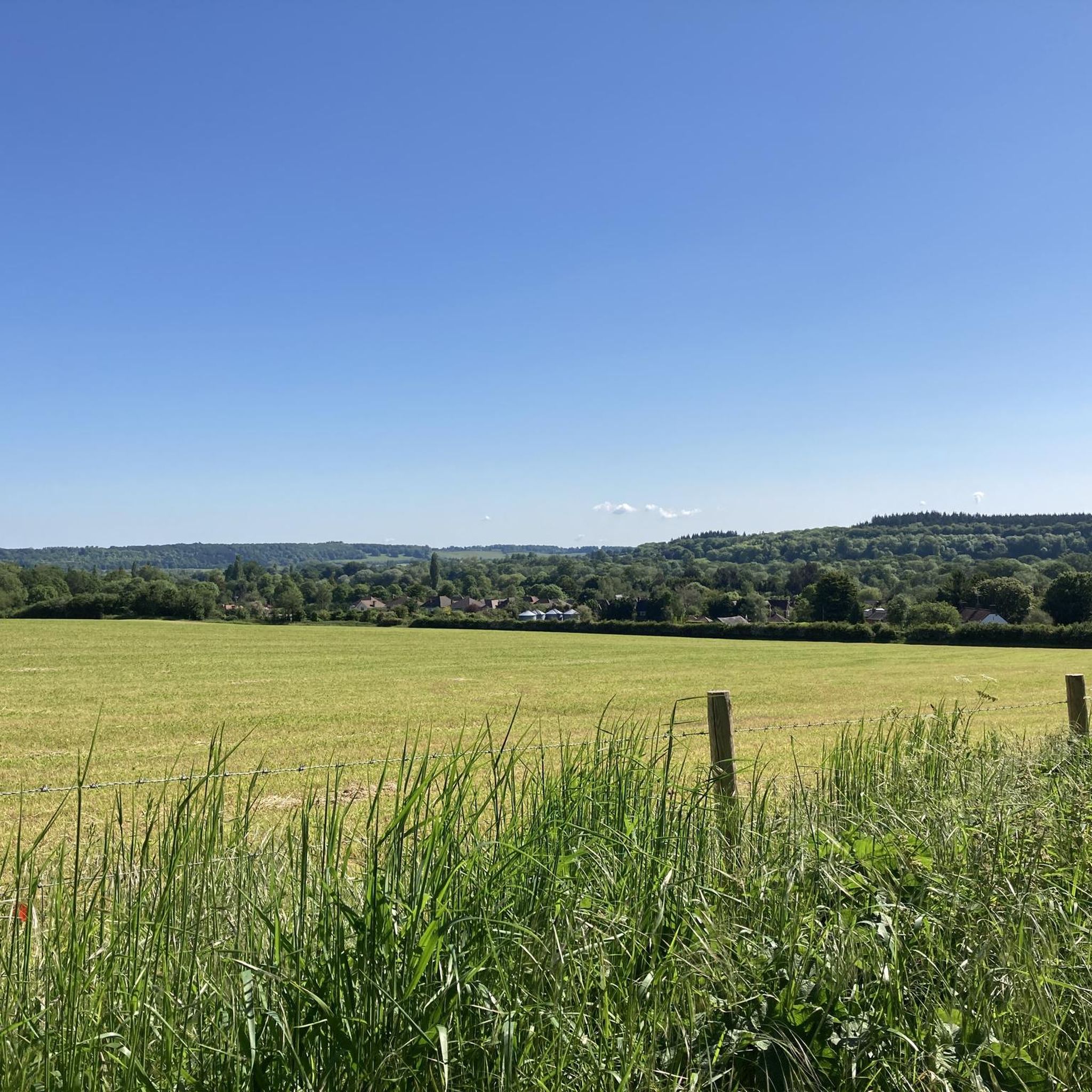
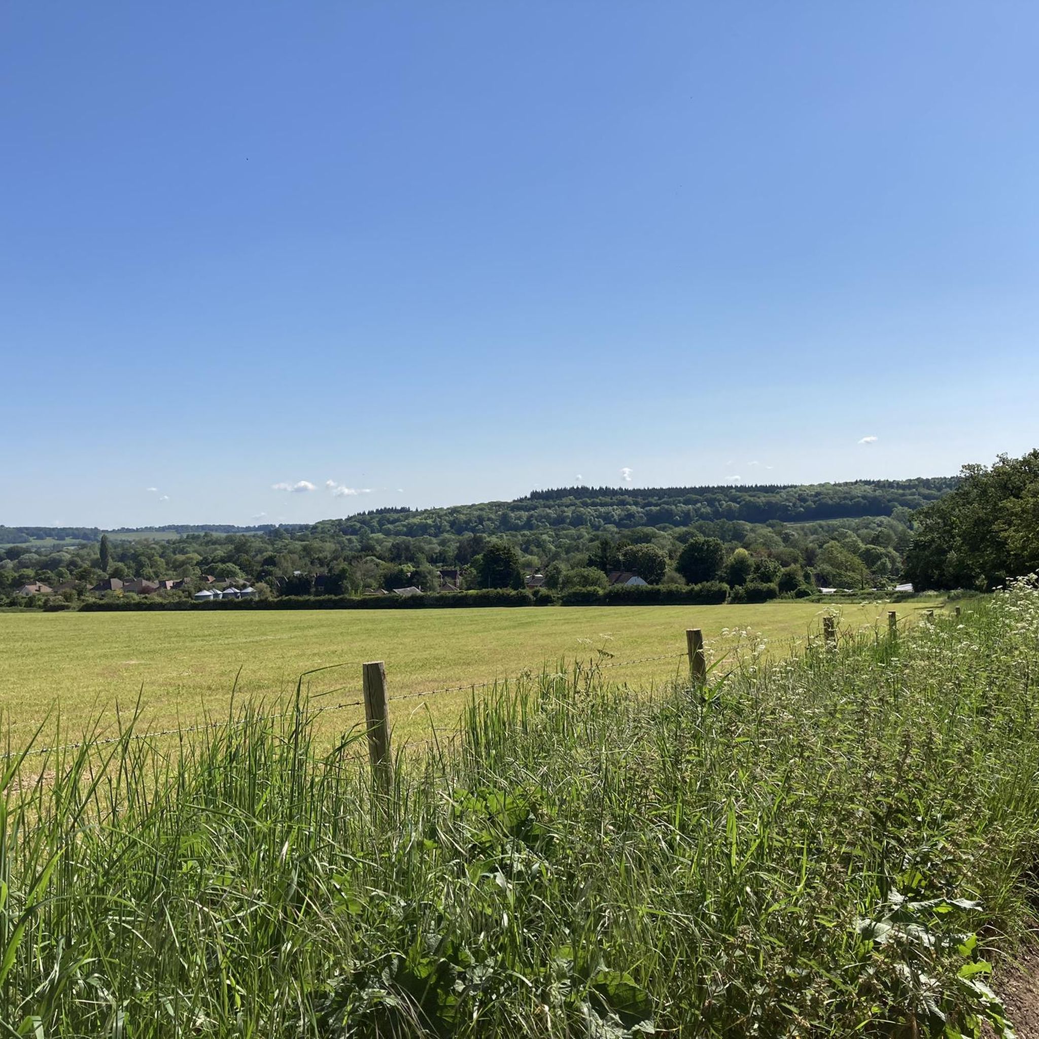
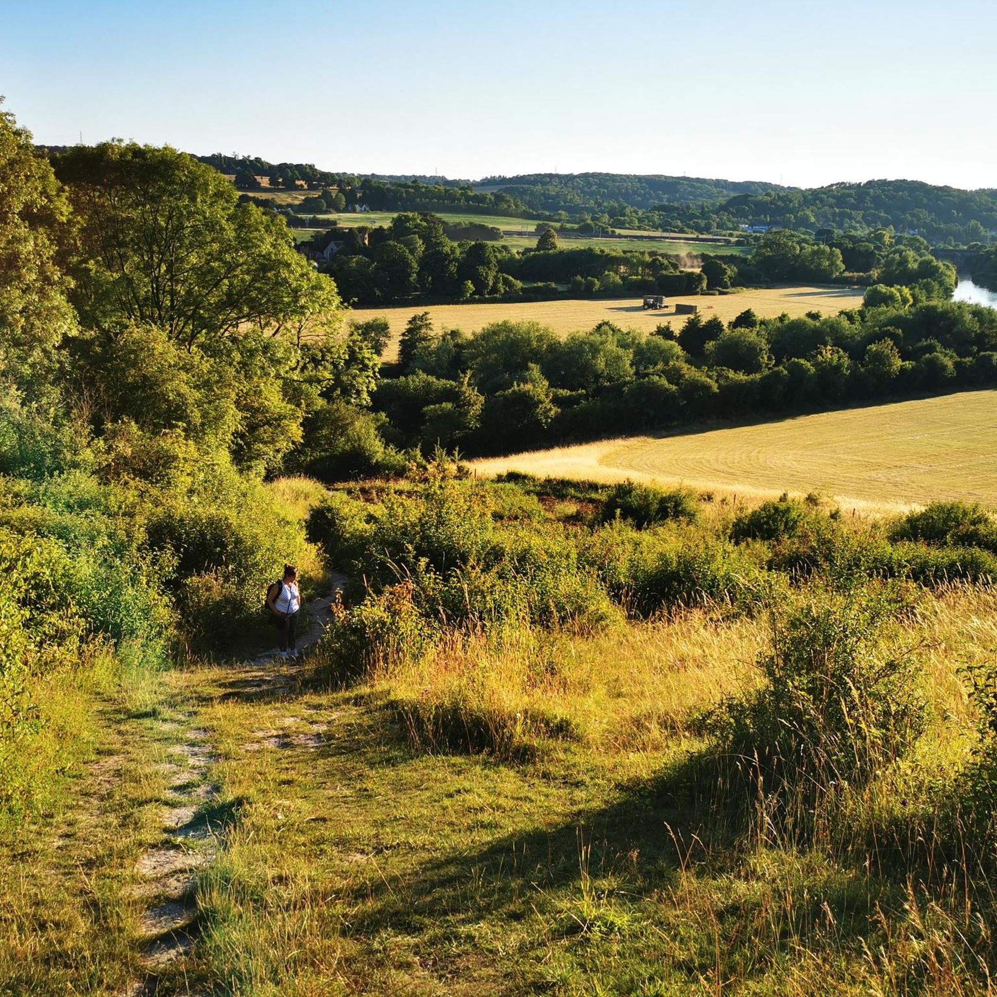
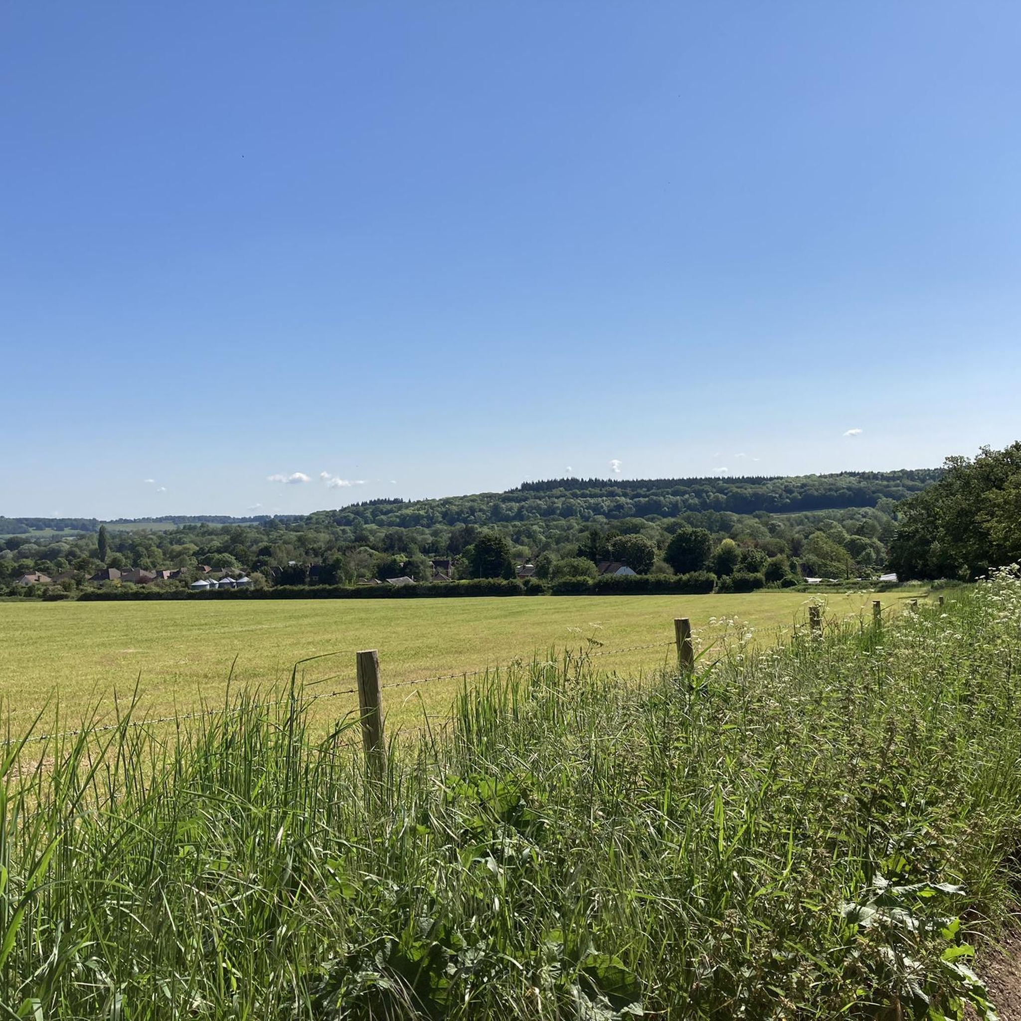
Tips from the Community

Not a gravel riding track. Only suitable for mountain bikes due to the road conditions, big rocks, and large potholes. If you must ride a gravel bike here, do not cruise and always go slowly.
0
0

All cyclists are able to pass the toll bridge for free
0
0

Christchurch Bridge is one of those post-2010 structures that still looks vaguely futuristic if you squint through the drizzle, all brushed metal and angled cables, stretched over the Thames like someone thought Reading needed a statement piece on a budget. Built in 2015 to connect the town centre with the north bank, it was meant to be a step toward sustainable transport. These days, it’s more of a tactical crossing point. At 138 metres long, it offers a decent line across the water, provided you can navigate the walkers, the slow, unpredictable pedestrians who drift across both lanes like confused drones. They’ll stop dead, veer diagonally, or pull a 180 with no warning. Bells are useless. Polite coughs do nothing. Try “on your right” and you’ll get a sideways glance that says, “You chose threat.” The bridge itself is solid, no major structural issues, not yet, and the view isn’t bad if you’re into Reading riverside aesthetics or watching trains roll by in the middle distance. There’s usually a breeze, and sometimes the air carries a strange scent, incense and diesel or something like that, perhaps old factories nearby were smouldering. Two wheels have to treat the crossing like an obstruction. You ride steady, but ready, always prepared to dodge a wayward commuter or canine unit on a retractable leash stretched to trip-wire length. There’s no room to be indecisive, and definitely no time for mid bridge photo shoots unless you’re ready to become a cautionary anecdote. The incline is gentle, but if you’re hauling supplies or riding on a loaded frame, you’ll feel it by the halfway mark. Still, it’s a crucial part of the west-east route along the Thames Path. If you’re avoiding roads and staying off-grid, this bridge is your best shot across the river without backtracking for miles. At dawn or dusk, you might get lucky and cross it clean, no walkers, no noise, just the creak of your drivetrain and the water below, quiet and grey. At peak times, though, it’s a gauntlet. Urban survival, one careful pedal stroke at a time.
0
0
I arrived at the old station, having to ride out a few kilometers west to the Vastern Road area near the river in Tilehurst. The signage appeared to pretend this was a gateway to somewhere worth going. Stainless steel fixtures dulled by time, built in that sleek late-capitalist optimism style. Fake clean. Surveillance cameras blinked overhead — working or not, who knows. I pushed past the bins that no longer had lids, down the cracked concrete that once passed for a plaza, heading toward the river path. The concrete there was smooth once. Still is, in patches. But it’s slick with algae now, and streaked with goose scat. Probably goose. Definitely not rain. The roundabouts were relentlessly busy — or at least that’s how it felt. Zs in battered cars circled endlessly, tires scraping the cracked concrete like it was a ritual. But sometimes, between the noise and the haze, I caught glimpses of something else — distant echoes of old festival revellers, laughter and music bouncing off the concrete barriers, a fading pulse beneath the relentless circling. The lines between past and present blurred, the city’s decay tangled with memories of better days. The traffic spun on, a ceaseless loop of movement and stillness sharing the same broken rhythm. The goose scat got thicker past the bridge. Sometimes it’s dry and crunchy under tires. Sometimes it’s wet, and that’s worse. The path dips unexpectedly. Puddles collect. There’s no drainage. There’s no budget for real upkeep or sustainable transport improvements. No plan to make this path anything more than a patchwork for cyclists and pedestrians to navigate as best they can. But even along the Thames, there are occasional stretches that hint at something better — patches where the breeze is fresher, the water glimmers, and for a moment, the city’s weight feels a little less crushing. Ahead, the suspension bridge hung like a relic of better speeches. A millennium structure. Another optimistic gesture. It still worked. Locals crossed it daily — crackles, Zs, traders moving quietly, heads down, eyes flicking up just long enough to check you weren’t a threat. It’s a corridor now, not a landmark. A place to move through, not think about. I wasn’t there to scavenge. Not that day. This was about securing reliable wheels for the group. The vehicle was a pre-EV Golf — Mk7.5, diesel, with a recently renewed DSG transmission. Someone had actually taken care of it. That counted for something. The Golf was cached in a cul-de-sac just past the edge of the river path, in an old industrial area that had slipped into decay even before things broke down. Rusted loading bays and cracked tarmac replaced what might once have been a hive of activity. The map said number 12 — red brick, side garage. It was all still there. Tires a bit soft, one headlight lens fogged, but otherwise intact. Luck, or good planning. Hard to tell anymore. The tow ball rear Thule rack was still intact, making it easy to strap the pushbike recon unit on for the ride back. I checked the interior. No needles, no surprises. Just a stale whiff of diesel mixed with an old Halfords air freshener trying to remember what “Black Ice” was supposed to smell like. The keys were where they’d said — taped behind the fascia of the old electric meter box. I started the engine. It turned over like it had something left to prove. For the first time in a while, I wasn’t pushing a bike through river shit or dodging scooter gangs in shopping centre undercrofts. I was behind the wheel, with four functioning tires and a full tank of unknown provenance. That’s mobility. That’s currency. The Golf pulled away slow but steady. DSG shifted like a rumour — not smooth, but competent. I took the long route back through side streets and forgotten service roads, staying off-grid. Past boarded shops, sagging bus shelters, and those weird chalk sigils some of the smaller sects have started leaving on the kerbs. No one stopped me. No one even looked up. This wasn’t a supply run. This was infrastructure repair. Quiet, vital work. And for now, at least, we had wheels.
0
0

Best way across the Thames in Reading and it links the station and city centre to the beautiful Christchurch meadows and the Thames path. Nice colour lights in the dark too
0
0

There’s also a great cafe nearby
0
0

Opened in 2015, Christchurch Bridge was the first crossing over the River Thames to have been built in nearly 100 years. It is reserved for pedestrians and cycles only.
0
0

Quieter than Henley and perhaps more beautiful.
1
0
Frequently Asked Questions
What are some popular natural attractions around Tidmarsh?
The most prominent natural feature is the River Thames, which forms the boundary between Oxfordshire and West Berkshire. It offers scenic views and a trail along its entire length. Additionally, the area is close to the Moor Copse Nature Reserve, known for its diverse wildlife and connection to *The Wind in the Willows*.
What historical sites can I visit near Tidmarsh?
You can explore the historic Whitchurch Bridge over the River Thames, a Grade II listed structure with records dating back to 844 AD. Tidmarsh also features the ancient Tidmarsh Church with its Norman doorway, and The Greyhound Inn, a 12th-century building that has served as a public house since 1625. Further afield, the Maharajah's Well and the Golden Elephant Statue in Stoke Row offers a unique historical story.
Are there any unique or 'hidden gem' attractions in the Tidmarsh area?
Yes, the Maharajah's Well in Stoke Row is a fascinating and unique Victorian well, gifted by an Indian prince in 1864. Tidmarsh Church, with its superbly carved Norman doorway and rare apse, is also considered an 'unexpected treasure'. The Moor Copse Nature Reserve is another gem, said to be part of the inspiration for the 'Wild Wood' in Kenneth Grahame's *The Wind in the Willows*.
What kind of walking and hiking trails are available around Tidmarsh?
Tidmarsh offers a variety of walking and hiking trails, including paths along the River Thames and through local nature reserves like Moor Copse. You can find moderate trails such as the 'Sulham Woods, Pangbourne & the River Thames loop' or easier options like the 'Moor Copse Nature Reserve loop'. For more details and routes, check out the Hiking around Tidmarsh guide.
Are there cycling routes suitable for different skill levels?
Yes, the area provides various cycling opportunities. The Nunhide Lane Gravel Track is an easy, well-maintained gravel stretch ideal for cyclists seeking a car-free shortcut. For more extensive rides, you can find routes ranging from easy to difficult, such as the 'Pangbourne Village Sign – The Artichoke Café loop' (easy) or the 'Pangbourne Village Sign – Kennet and Avon Canal loop' (difficult). Explore more options in the Cycling around Tidmarsh guide and the MTB Trails around Tidmarsh guide.
Are there easy walks suitable for families or those seeking a gentle stroll?
Absolutely. The Moor Copse Nature Reserve loop is an easy 2.2 km walk, perfect for a gentle stroll. Many sections of the River Thames path are also flat and accessible, offering pleasant, easy walks with scenic views. The Whitchurch Bridge and Christchurch Bridge are also family-friendly and wheelchair accessible.
Where can I learn about the history of Tidmarsh village itself?
Tidmarsh is thought to be a Saxon village, with its name possibly meaning 'Common Marsh'. Its history is closely tied to Reading Abbey, which maintained a summer residence nearby and historically oversaw Tidmarsh Mill. The ancient Tidmarsh Church and The Greyhound Inn also provide glimpses into the village's long past.
Is there a connection to literature or famous stories in the area?
Yes, the area near Tidmarsh in Berkshire, particularly an extension to the nature reserve at Moor Copse, is noted as being part of the inspiration for the 'Wild Wood' in Kenneth Grahame's beloved classic, *The Wind in the Willows*.
Are there any dog-friendly trails or attractions?
Many of the natural trails and walking paths along the River Thames and in local nature areas are suitable for dogs, provided they are kept under control. Always check local signage for specific rules regarding dogs in nature reserves or protected areas.
What are the options for accessible walks or attractions?
The Whitchurch Bridge over the River Thames and Christchurch Bridge are both noted as wheelchair accessible. Many sections of the Thames Path are also relatively flat and well-maintained, offering accessible options for visitors.
When is the best time of year to visit Tidmarsh for outdoor activities?
Spring and summer generally offer the most pleasant weather for outdoor activities, with longer daylight hours and milder temperatures ideal for walking, cycling, and exploring the natural beauty of the River Thames and local trails. Autumn also provides beautiful scenery with changing foliage.
Are there places to eat or drink near the walking routes?
Yes, villages like Tidmarsh and nearby Pangbourne offer pubs and eateries. The Greyhound Inn in Tidmarsh itself is a historic public house. Along the River Thames, particularly in towns like Pangbourne and Whitchurch-on-Thames, you'll find various options for refreshments.
Most popular attractions around Tidmarsh

Get inspired with the komoot mobile app


Explore more
Still not found the Highlight you’re looking for? See guides of the top attractions in other regions:
