The best walks and hikes around East Tytherley
4.4
(472)
3,565
hikers
275
hikes
Hiking around East Tytherley offers diverse landscapes, including woodlands, open fields, and river valleys, providing varied terrain for exploration. The region is influenced by river systems like the Test Way and features the distinctive Greensand Terrace, characterized by deeply sunken lanes and "hanger woodlands." Proximity to the New Forest National Park also provides access to extensive heathland and forest areas.
Best hiking trails around East Tytherley
- The most popular hiking route is Mottisfont Estate loop, a 6.8 miles (10.9…
Last updated: July 9, 2026
4.9
(15)
122
hikers
10.9km
02:53
100m
100m
Moderate hike. Good fitness required. Easily-accessible paths. Suitable for all skill levels.
4.8
(10)
52
hikers
9.37km
02:28
80m
80m
Moderate hike. Good fitness required. Easily-accessible paths. Suitable for all skill levels.

Sign up for free
5.0
(3)
11
hikers
17.7km
04:41
160m
160m
Hike the moderate 11.0-mile Monarch's Way and Test Way Loop from Mottisfont, exploring woodlands, rivers, and historical paths.
7
hikers
17.0km
04:31
170m
170m
Moderate hike. Good fitness required. Easily-accessible paths. Suitable for all skill levels.
5.0
(6)
70
hikers
Easy hike. Great for any fitness level. Easily-accessible paths. Suitable for all skill levels.
Get access to more routes and recommendations from other explorers.
Sign up for free
Already have an account?
Our route recommendations are based on thousands of hikes, rides, and runs completed by other people on komoot.
Start today with a free account
Your next adventure awaits.
Login or Signup
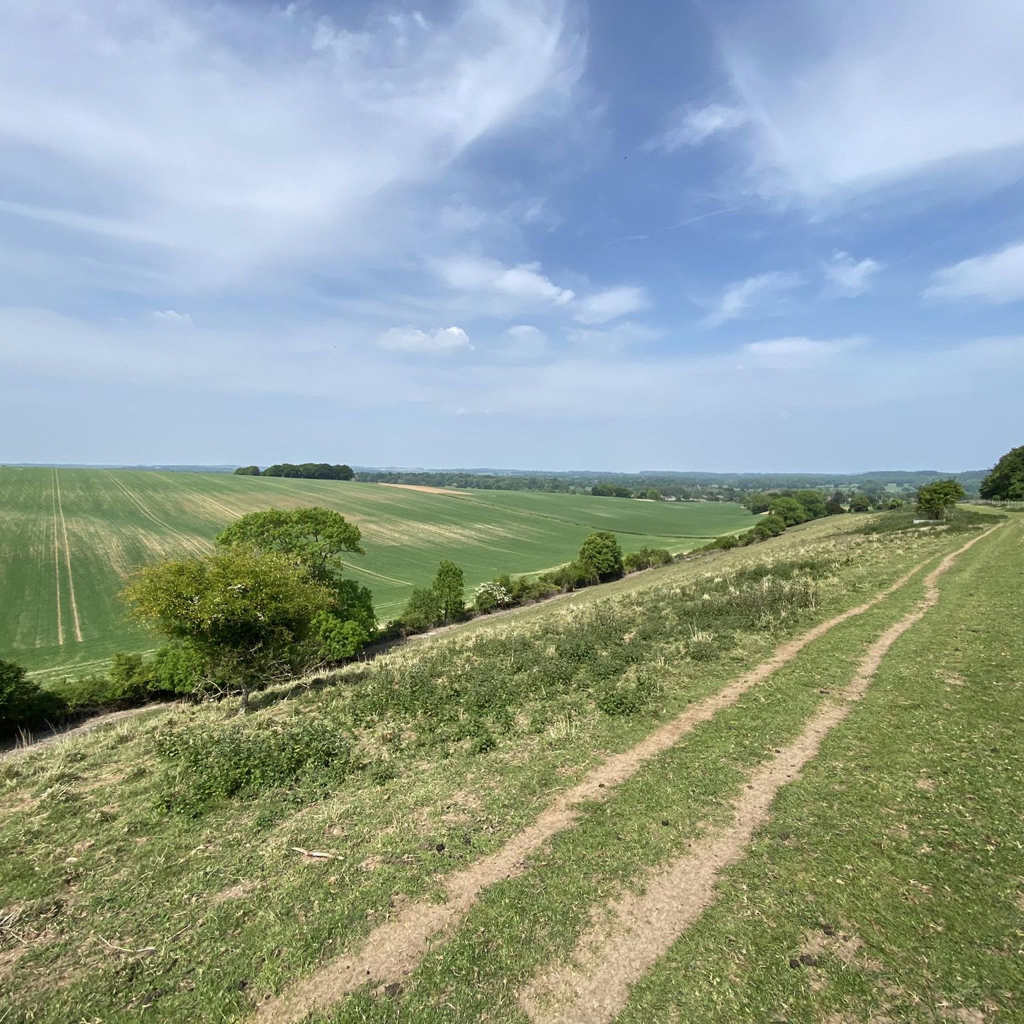
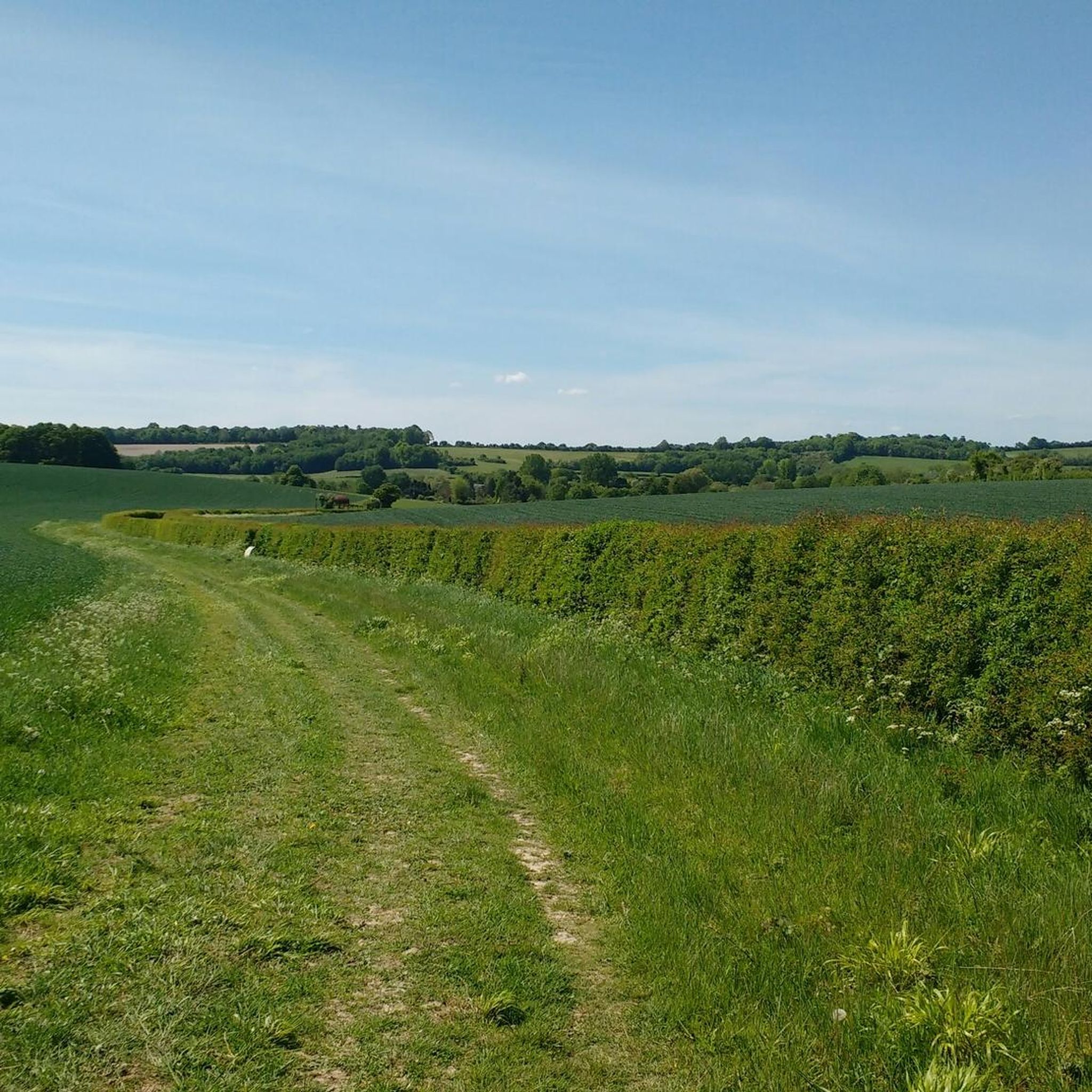
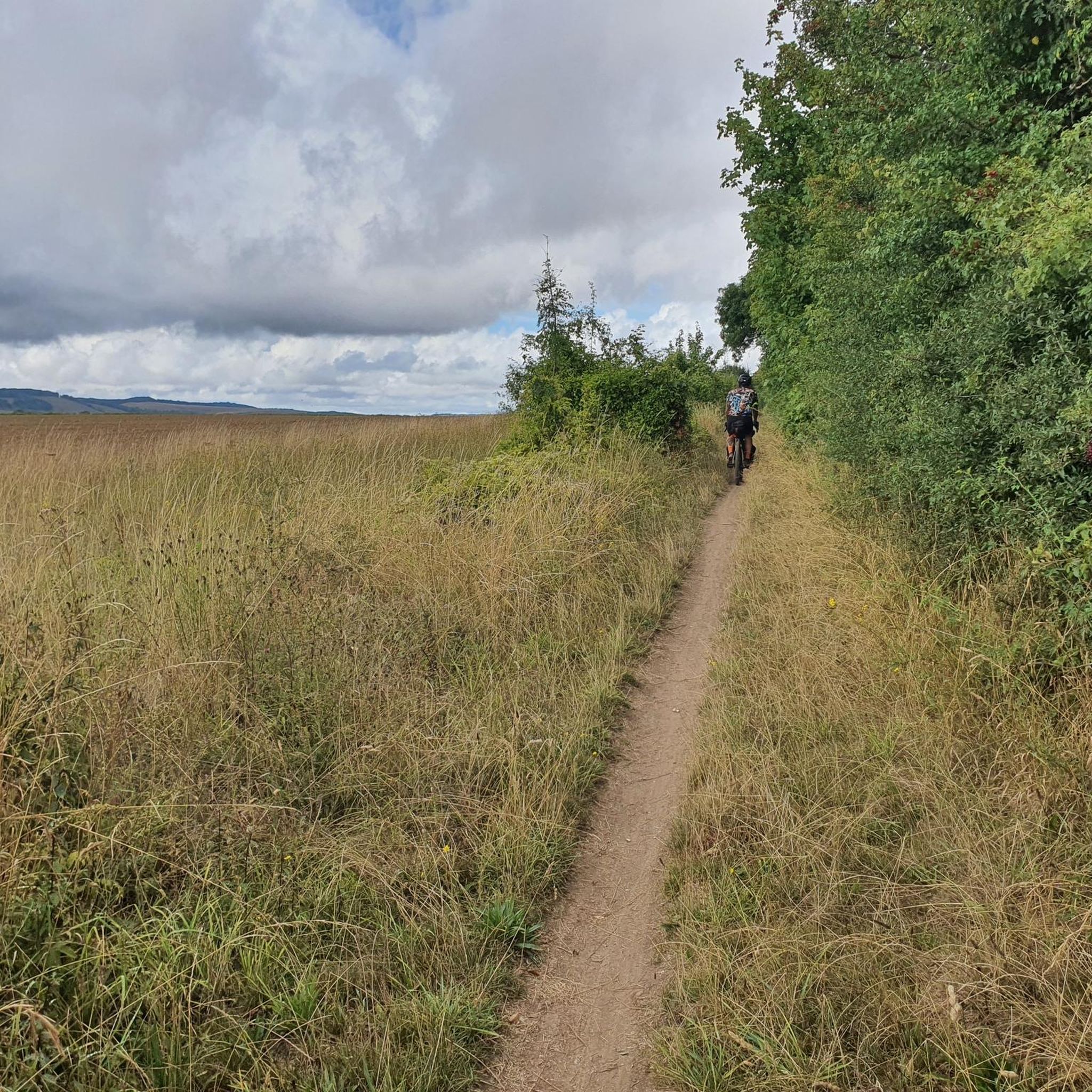
Tips from the Community

Lovely house and grounds to wonder pre/post walk or both. Great facilities with two places to eat and drink. National Trust members can gain access for free. Peak times and seasonal interests can be very busy.
0
0

The Sprat and Winkle railway line operated between Redbridge (Southampton) and Andover Junction. The line opened in 1865 after converting an existing canal to railway. The line was closed in 1964 and is now a lovely flat walking and cycling trail, which forms part of the Test Way.
3
0

This stretch of National Cycle Network 246 (https://www.sustrans.org.uk/find-a-route-on-the-national-cycle-network/route-246) runs off-road along Monarch's Way and The Test Way (which in this section follow the same path). The Monarch's Way is a 625-mile (1,006 km) footpath in England that approximates the escape route taken by King Charles II in 1651 after being defeated in the Battle of Worcester. It runs from Worcester via Bristol and Yeovil to Shoreham, West Sussex, and is an approximation of the original route using available public rights of way, having been radically changed in the centuries by enclosure, mining, urbanisation and the building of roads, canals and railways. This particular stretch runs on a well-maintained gravelly path through the woods. Please cycle respectfully sharing the path with ramblers and walkers.
1
0

Mottisfont House is very near this and well worth a visit. If you go past this Phone box walking out of Mottisfont you can walk/ride along a lane which leads down to Mottisfont/Dunbridge train station which has a very nice pub next to it for refreshments.
0
0
Nice views and pub nearby next to Mottisfont and Dunbridge station
0
0
Open almost all year round. Stunning on sunny days and great walks all nearby
2
0

Scenic picnic spot near to Hatt Hill on the wider Mottisfont Estate.
0
0
Handy book swap stop in the pretty village of Mottisfont.
0
0
Frequently Asked Questions
How many hiking trails are available around East Tytherley?
East Tytherley offers a wide variety of hiking options, with over 280 routes available. These range from easy strolls to more challenging, longer hikes, catering to different fitness levels and preferences.
What kind of terrain can I expect on hikes near East Tytherley?
The region around East Tytherley features diverse landscapes. You'll find trails traversing tranquil woodlands, open fields, and picturesque river valleys, particularly along the Test Way. The area also includes parts of the distinctive Greensand Terrace, characterized by deeply sunken lanes and 'hanger woodlands' on steep slopes. The disused Sprat and Winkle Railway Line provides flat, accessible paths.
Are there easy hiking routes suitable for beginners or families?
Yes, East Tytherley has over 110 easy hiking routes. For example, the Mottisfont Phone Box Library loop from Mottisfont Bats SSSI is an easy 5.15 km (3.2 miles) trail. The region research also mentions a 2.12 km Bentley Woods loop from West Tytherley as an easy option.
What natural features can I see while hiking near East Tytherley?
Hikers can explore several natural features, including the scenic River Test, which you can experience along the River Test at Mottisfont. The area is also close to the vast New Forest National Park, known for its heathland and ancient woodlands. You might also encounter the Langley Nature Reserve and the historic site of Sadler's Mill, once known for salmon leaping.
Are there any historical landmarks or points of interest along the trails?
Absolutely. You can explore the historic Test Way and Monarch's Way Junction, which are significant long-distance paths. St Peter's Church in East Tytherley, dating back to around 1150, is a local landmark. Further afield, you can visit the ancient Danebury Iron Age hill fort or the Figsbury Ring.
What do other hikers say about the trails in East Tytherley?
The trails in East Tytherley are highly regarded by the komoot community, with an average rating of 4.4 out of 5 stars from over 440 reviews. Hikers often praise the varied landscapes, from quiet woodlands to open fields, and the well-maintained paths that make for enjoyable exploration.
Are there any circular walks in East Tytherley?
Yes, many of the routes around East Tytherley are circular, allowing you to start and end at the same point. A popular option is the Monarch's Way and Test Way Loop from Mottisfont, a 17.7 km (11 miles) moderate hike. The East and West Tytherley Walk is also a specific 9.3 km (5.8 miles) circular route starting from East Tytherley church.
Can I bring my dog on the trails around East Tytherley?
Many trails in the East Tytherley area are suitable for dogs, especially those through woodlands and fields. However, it's always recommended to keep dogs on a lead, particularly when passing through farmland with livestock or in areas where wildlife is present, such as near the New Forest National Park.
Where can I find parking for hiking trails in East Tytherley?
While specific parking areas for East Tytherley village aren't detailed, many popular starting points for hikes, such as the Mottisfont Estate, offer visitor facilities which typically include parking. For walks starting directly from East Tytherley, local roadside parking might be available, but it's advisable to check specific route details or local signage.
Are there places to eat or drink near the hiking routes?
Yes, the Mottisfont Estate, a popular starting point for several hikes, offers facilities including places to eat and drink. Additionally, the region research indicates that there are pubs near East Tytherley walks, providing options for refreshments after your hike.
What is the best time of year to hike in East Tytherley?
East Tytherley offers enjoyable hiking experiences throughout the year. Spring brings blooming wildflowers and fresh greenery, while summer provides longer daylight hours for extended walks. Autumn showcases beautiful foliage in the woodlands, and winter offers crisp, quiet walks, though some paths might be muddy. Always check local weather conditions before heading out.
How long do hikes typically take in this region?
Hikes in East Tytherley vary in length and duration. Shorter, easy loops like the Mottisfont Phone Box Library loop can take around an hour and a half. Moderate routes around the Mottisfont Estate, such as this 9.4 km (5.8 miles) loop, typically take around 2.5 to 3 hours. Longer routes, like the Monarch's Way and Test Way Loop (17.7 km / 11 miles), can take over 4 hours.
Most popular attractions around East Tytherley

Get inspired with the komoot mobile app


Explore more
Browse the best Hikes in other regions.
