The best mountain hikes around Übersaxen
4.9
(50)
606
hikers
35
hikes
Mountaineering around Übersaxen is characterized by its position at 900 meters elevation, nestled at the foothills of the Walserkamm and at the geological boundary between the Western and Eastern Alps. The region features diverse mountainous terrain, including the dramatic Rätikon mountain range with peaks like the Drei Schwestern, and prominent summits such as Hohe Kugel (1,645 m) and Hoher Freschen. These landscapes offer extensive panoramic views across the Walgau, Rhine Valley, and towards the Swiss Alps.
Best mountaineering routes around…
Last updated: July 7, 2026
5.0
(5)
52
hikers
17.5km
07:46
1,280m
1,280m
Hard mountaineering route. Very good fitness required. Sure-footedness, sturdy shoes and alpine experience required.
5.0
(2)
51
hikers
10.2km
04:56
820m
820m
Moderate mountaineering route. Good fitness required. Mostly accessible paths. Sure-footedness required.

Sign up for free
5.0
(2)
39
hikers
13.1km
05:11
930m
930m
Hard mountaineering route. Very good fitness required. Mostly accessible paths. Sure-footedness required.
37
hikers
11.4km
04:32
750m
750m
Moderate mountaineering route. Good fitness required. Mostly accessible paths. Sure-footedness required.
5.0
(1)
34
hikers
19.5km
07:20
1,050m
1,050m
Hard mountaineering route. Very good fitness required. Mostly accessible paths. Sure-footedness required.
Get access to more routes and recommendations from other explorers.
Sign up for free
Already have an account?
Our route recommendations are based on thousands of hikes, rides, and runs completed by other people on komoot.
Start today with a free account
Your next adventure awaits.
Login or Signup
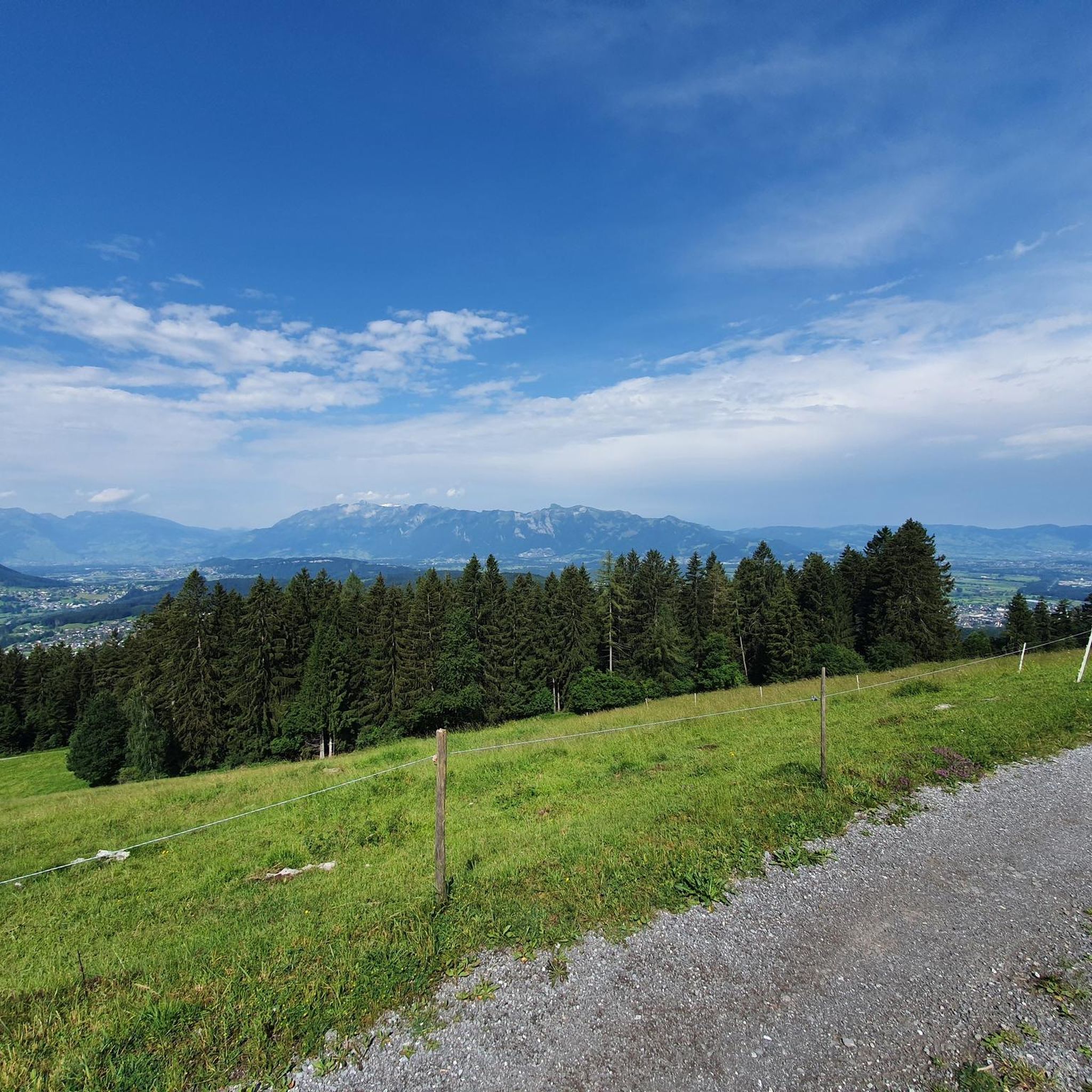

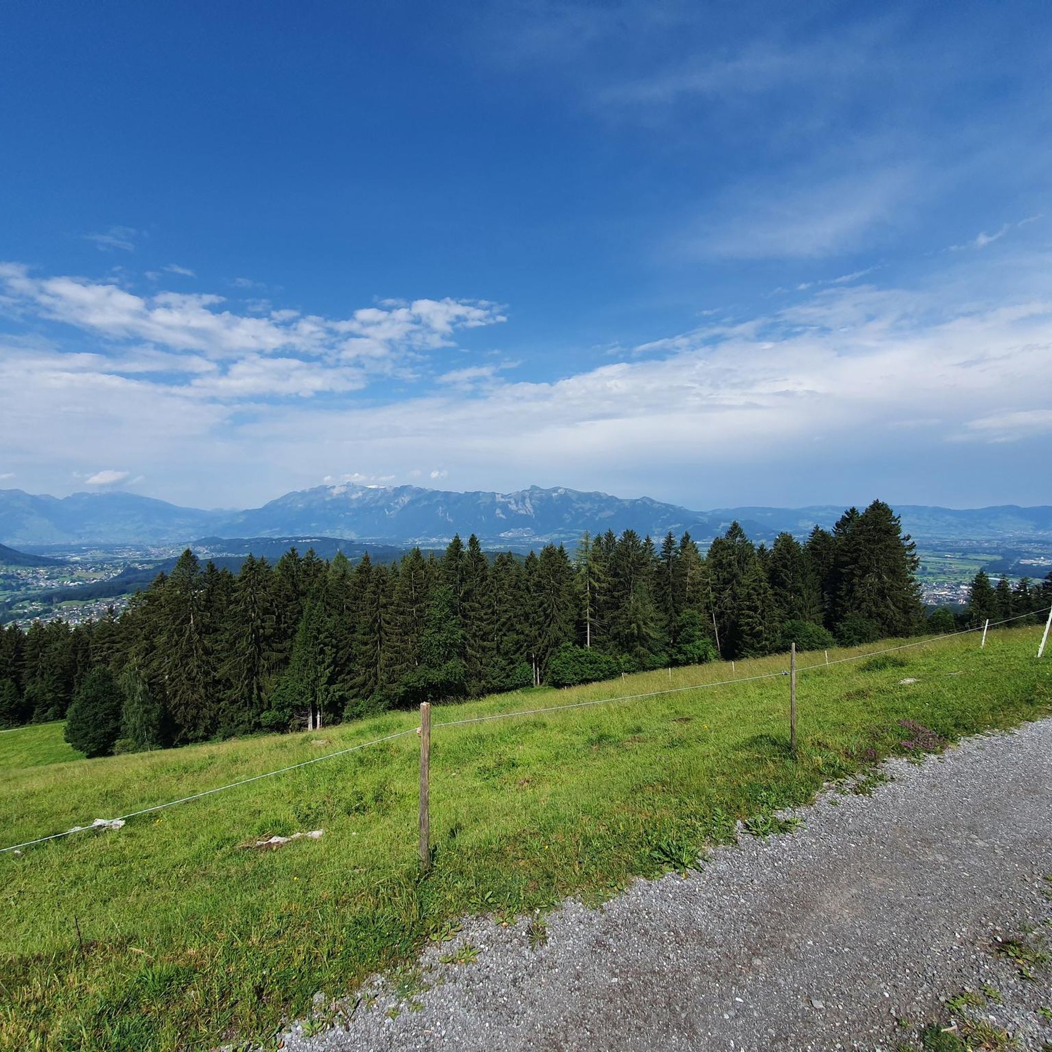
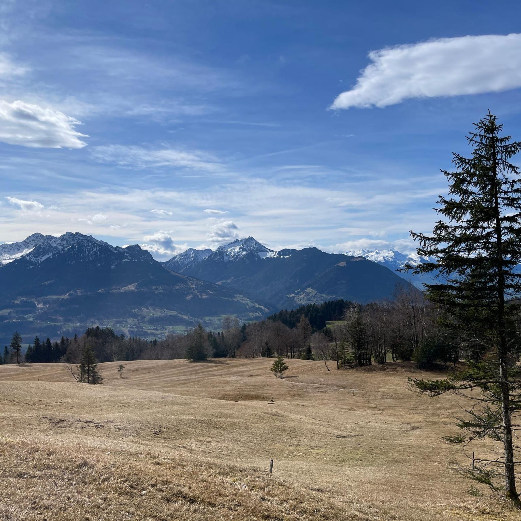


Tips from the Community

pretty here, very pretty
3
1

Hosted by the Laterns Ski Club in winter! Plus, you'll get Renate's best "Schnupf" (a type of snuff) and her legendary sayings.
0
0

Magnificent view from/to the "Three Sisters", 2051m, like this rock hole
0
0

Nice, cozy little hut (outside). I didn't go inside. Beware of the somewhat aggressive rooster. ;-) (As of August 2025)
0
0

Info with dogs 🐾 Anyone who can safely carry their dog on their shoulders can climb this route. It looks spectacular at first, but for experienced mountain dogs, it's not an insurmountable obstacle. We climbed with climbing harnesses and safety harnesses, and webbing slings in case we need to be secured in between.
2
0

beautiful Alp for hikers, skiers and bikers
0
0


On the ridge you can enjoy the peace and quiet and also have a wonderful view. I find the route from Viktorsberg very beautiful because you have nature almost to yourself. In summer you come across lots of cows at the summit. Can be done at any time of year.
2
0
Frequently Asked Questions
How many mountaineering routes are available around Übersaxen?
There are 38 mountaineering routes around Übersaxen. These include 15 moderate and 23 difficult routes, offering a wide range of options for different skill levels.
What kind of views can I expect on mountaineering routes in Übersaxen?
Mountaineering in Übersaxen offers breathtaking panoramic views. You can expect to see across the Walgau and into the Rhine Valley, often extending to Lake Constance (Bodensee) and the Swiss Alps, including the Säntis and Alviergruppe. Routes like the Panoramaweg are particularly known for these impressive vistas.
Are there any family-friendly mountaineering options in Übersaxen?
While many routes in Übersaxen are challenging, there are moderate options available. For families, it's best to look for routes described as moderate, which typically require good fitness but less alpine experience. Always check the specific route details for suitability.
What are some notable natural features or landmarks to see while mountaineering in Übersaxen?
Übersaxen is rich in natural beauty. You can explore prominent summits like the Hohe Kugel summit (1,645 m) and the Hoher Freschen summit cross, which offer extensive views. The region also features the dramatic Rätikon mountain range, the Mengschlucht Gorge, and serene Lake Galina. Along some trails, you'll encounter rich meadow biotopes.
Are there any circular mountaineering routes in the area?
Yes, Übersaxen offers several circular mountaineering routes. An example is the Gehrenfalben loop from Bad Laterns, a moderate 11.2 km trail that takes about 4 hours 30 minutes. The Panoramaweg is also a well-known circular trail offering impressive views.
What is the best time of year for mountaineering in Übersaxen?
The best time for mountaineering in Übersaxen is typically during the warmer months when trails are clear of snow and weather conditions are more stable. However, even in winter, the region offers appealing activities like winter hiking, especially when the valleys are foggy and the mountains are clear and sunny. Always check local weather and trail conditions before heading out.
What do other mountaineers enjoy most about the routes in Übersaxen?
The mountaineering routes in Übersaxen are highly rated by the komoot community, with an average score of 4.9 stars from nearly 50 reviews. Mountaineers often praise the diverse mountainous terrain, the dramatic alpine scenery, and the stunning panoramic views that stretch across the region and beyond.
Are there any challenging routes for experienced mountaineers?
Absolutely. Übersaxen offers 23 difficult mountaineering routes designed for experienced and sure-footed mountaineers. A prime example is the Ladder to the Drei Schwestern – Three Sisters loop from Frastanz, a demanding 17.9 km trail that ascends towards the notable Drei Schwestern peaks.
Can I find routes that pass by mountain huts in Übersaxen?
Yes, some mountaineering routes in Übersaxen pass by mountain huts, providing opportunities for rest or refreshments. For instance, the Gurtis Peak – Sattelalpe Mountain Hut loop from Gurtis is a difficult 10.2 km path that includes a mountain hut along the way.
What are the typical durations for mountaineering routes in Übersaxen?
The duration of mountaineering routes in Übersaxen varies significantly depending on the distance, elevation gain, and difficulty. Moderate routes might take around 4-5 hours, while more challenging and longer routes, such as the Freschen Hut – Hoher Freschen summit cross loop from Innerlaterns, can take upwards of 7 hours.
What makes Übersaxen unique for mountaineering?
Übersaxen's unique appeal for mountaineering stems from its position at 900 meters elevation, nestled at the foothills of the Walserkamm, and its location at the geological boundary between the Western and Eastern Alps. This creates a diverse mountainous terrain with dramatic alpine scenery, significant peaks, and a wide network of trails catering to all skill levels.
Are there any routes that lead to the Hoher Freschen summit?
Yes, the Hoher Freschen is a prominent summit in the region and a popular destination for mountaineers. You can find routes like the Hoher Freschen Summit loop from Bad Laterns, a difficult 14.7 km trail offering wonderful vistas from the summit cross.
Most popular routes around Übersaxen
Most popular attractions around Übersaxen

Get inspired with the komoot mobile app


Explore more
Browse the best Mountain Hikes & Routes in other regions.
