The best mountain hikes around Sankt Anton im Montafon
4.8
(221)
1,857
hikers
82
hikes
Mountaineering routes around Sankt Anton im Montafon traverse a diverse and dramatic alpine landscape, situated at the entrance to the Montafon valley. The region is characterized by challenging peaks of the Silvretta group, including the prominent Piz Buin at 3,312 meters, and the Verwall and Lechtaler Alps. Mountaineers encounter glaciated high-altitude terrain, lush forests, and deep gorges, offering varied climbing and hiking opportunities.
Best mountaineering routes around Sankt Anton im Montafon
- The most popular mountaineering route is VO US Gauertalhaus…
Last updated: July 7, 2026
4.8
(13)
126
hikers
13.2km
04:45
720m
720m
Moderate mountaineering route. Good fitness required. Mostly accessible paths. Sure-footedness required.
4.6
(18)
121
hikers
2.38km
01:24
260m
260m
Hard mountaineering route. Great for any fitness level. Sure-footedness, sturdy shoes and alpine experience required.

Sign up for free
4.5
(4)
36
hikers
12.1km
06:29
1,150m
1,150m
Hard mountaineering route. Very good fitness required. Sure-footedness, sturdy shoes and alpine experience required.
4.0
(1)
14
hikers
11.7km
05:18
920m
920m
Hard mountaineering route. Very good fitness required. Mostly accessible paths. Sure-footedness required.
5.0
(1)
15
hikers
10.1km
04:22
750m
750m
Moderate mountaineering route. Good fitness required. Mostly accessible paths. Sure-footedness required.
Get access to more routes and recommendations from other explorers.
Sign up for free
Already have an account?
Our route recommendations are based on thousands of hikes, rides, and runs completed by other people on komoot.
Start today with a free account
Your next adventure awaits.
Login or Signup
Popular around Sankt Anton im Montafon
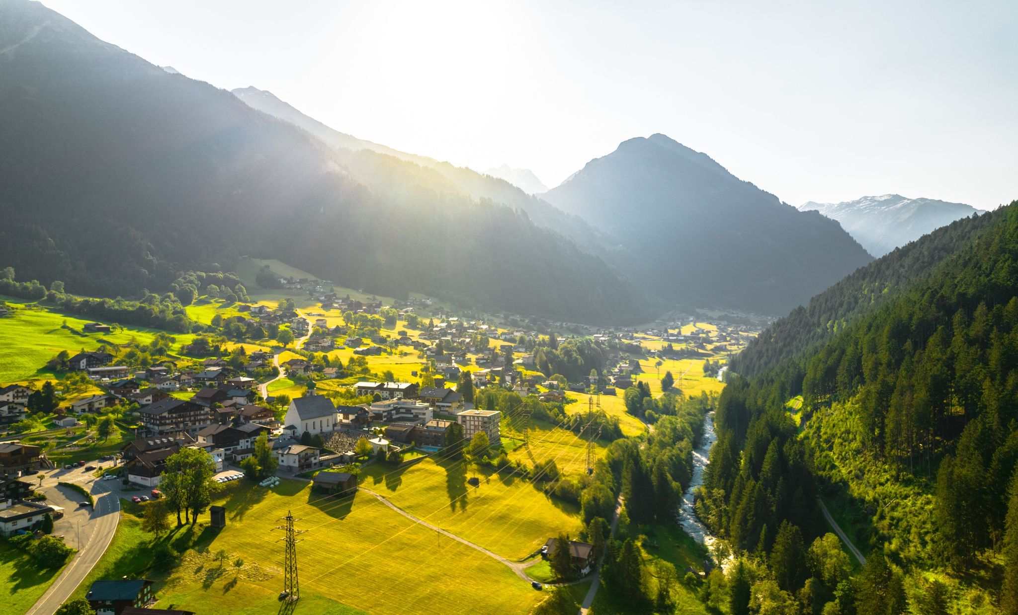
Alpine Mosaic Montafon — Austria’s valley adventure area
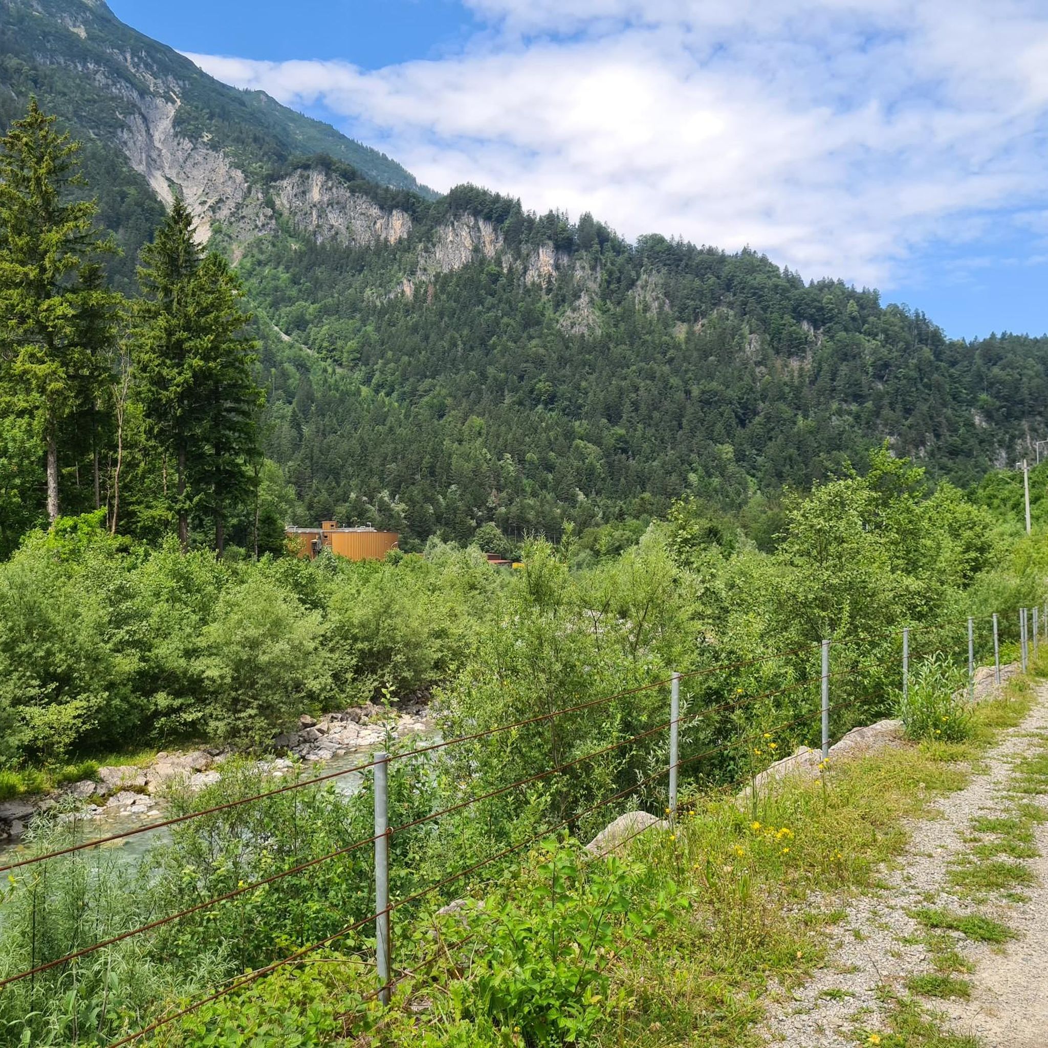
Cycling around Sankt Anton im Montafon
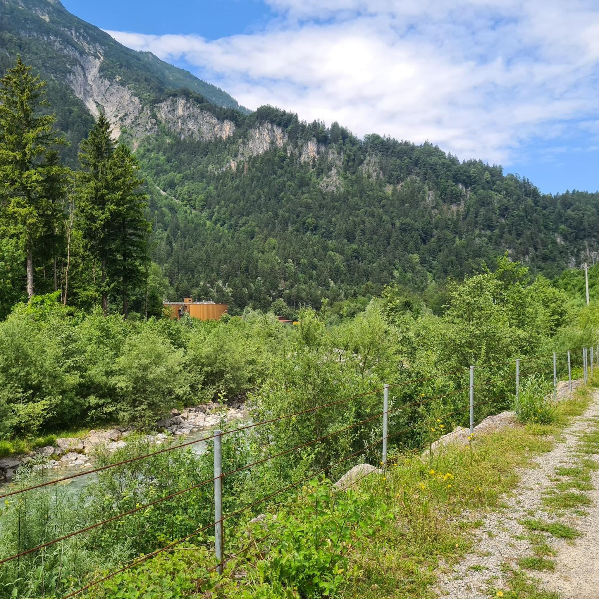
MTB Trails around Sankt Anton im Montafon
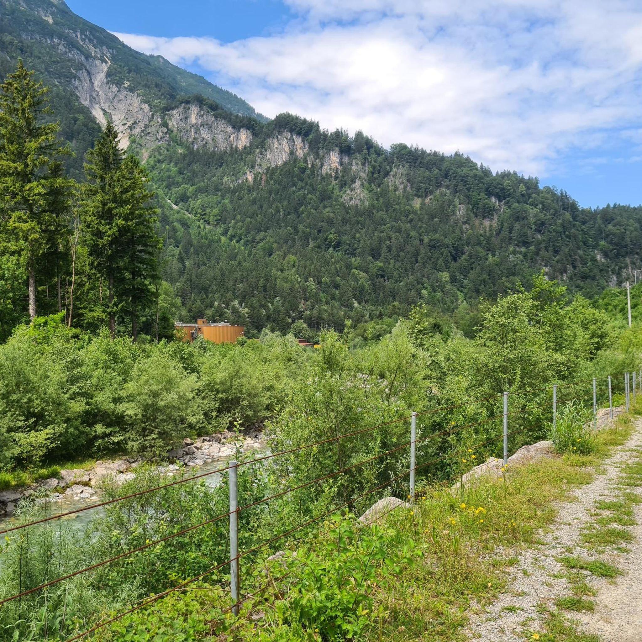
Road Cycling Routes around Sankt Anton im Montafon
Gravel biking around Sankt Anton im Montafon
Hiking around Sankt Anton im Montafon
Running Trails around Sankt Anton im Montafon
Other adventures around Sankt Anton im Montafon

Tips from the Community

Secluded location, with a beautiful chapel and a great alpine inn. Today easily accessible via a wide gravel road and with a taxi shuttle service from the Bergerhof.
1
0
A nice opportunity for a stopover at 1,883 meters, about an hour from the Rellseck mountain inn. The path is partly muddy even in summer, as it leads through a marshy depression.
1
0

The ascent/descent is quite challenging, and the warning before starting the climb should not be taken lightly. A head for heights and surefootedness are required. The panorama at the summit cross is fantastic, however.
2
0

free parking, approx. 7-8 spaces
0
0

It is not without reason that SAC T6 involves a lot of climbing, and in the last part a climb on a steep ridge. No fear of heights is NECESSARY and ropes may also be useful
2
0

After a strenuous climb, you can either sit under the cross in the sun or in the shade of the trees. You have a wonderful view of the famous three towers, Drusenfluh to the right and Sulzfluh to the left. To the right of the three towers, a huge mountain rises from far away, that is the schesaplana.
1
0

Fantastic location, great view, friendly service, and good food and drinks. Perfect and highly recommended.
3
0
A great starting point for various hikes. A very pleasant village atmosphere with a village shop.
3
0
Frequently Asked Questions
How many mountaineering routes are available in Sankt Anton im Montafon?
Sankt Anton im Montafon offers a wide array of mountaineering routes, with over 80 options available. These routes cater to various skill levels, from moderate ascents to challenging high-alpine expeditions.
What are the difficulty levels of mountaineering routes in Sankt Anton im Montafon?
The routes in Sankt Anton im Montafon range from moderate to difficult. You'll find around 26 moderate routes, while the majority, about 58, are considered difficult, offering significant challenges and elevation gains. There are also a few easier options for those new to mountaineering.
What is the best time of year for mountaineering in Sankt Anton im Montafon?
Summer and autumn are generally ideal for mountaineering in Sankt Anton im Montafon. During these seasons, the weather is more stable, and trails are typically free of snow, making for safer and more enjoyable ascents. Some areas also offer unique winter via ferratas for experienced climbers.
Are there any family-friendly mountaineering options in Sankt Anton im Montafon?
While many mountaineering routes are challenging, the broader region offers options suitable for families. The nearby Golm Adventure Mountain provides attractions like the Alpine Coaster and a forest slide park. For gentler walks, you can find trails like the Muntafuner Gaglaweg, which are more suitable for children.
Are there circular mountaineering routes in the area?
Yes, Sankt Anton im Montafon features several circular mountaineering routes. For instance, you can explore the VO US Gauertalhaus – Antler Tree Sculpture loop from Bezirk Bludenz, which is a moderate 8.2-mile trail. Another option is the Myth Tree – Obere Latschätzalpe loop from Bezirk Bludenz, a more challenging 10.6-mile route through alpine meadows.
What kind of terrain can I expect on mountaineering routes in Sankt Anton im Montafon?
Mountaineering in Sankt Anton im Montafon offers incredibly diverse terrain. You can expect to traverse glaciated high-altitude areas, lush alpine forests, and deep gorges. The region is characterized by dramatic mountain ranges like the Silvretta group, Verwall, and Lechtaler Alps, featuring steep rock faces, narrow ledges, and craggy ridges, especially on routes like the Arlberg Via Ferrata.
Are there any waterfalls or gorges to see on these routes?
Absolutely! The region is known for its impressive natural features. You can find thundering waterfalls, some even integrated into via ferrata routes like the Waterfall Via Ferrata. Deep gorges such as the Rosanna Gorge and the 'Schnanner Klamm' (Schnann Gorge) also offer unique hiking and climbing experiences. The Teufelsbach Waterfall is another notable highlight.
What other natural landmarks or viewpoints can I find?
Beyond the challenging peaks, you can discover stunning natural landmarks. The picturesque Formarinsee lake and Heart Lake are beautiful sights. For panoramic views, consider highlights like the View of Lünersee from Lünerkrinne or exploring mountain passes such as Tiefensee Saddle and Kristbergsattel.
Are there mountain huts along the mountaineering routes?
Yes, the region provides mountain huts that can serve as rest stops or overnight accommodations. Notable examples include the Wormser Hut and the Freiburger Hut. The Darmstädter mountain lodge area also offers climbing practice courses.
What do other mountaineers enjoy the most about mountaineering in Sankt Anton im Montafon?
The mountaineering routes in Sankt Anton im Montafon are highly rated by the komoot community, with an average score of 4.8 stars from over 240 reviews. Mountaineers frequently praise the diverse and dramatic alpine landscape, the challenging ascents, and the breathtaking views of prominent peaks like Piz Buin and the Silvretta group.
Are there options for beginners or less experienced mountaineers?
While many routes are challenging, there are options for beginners. The region offers a few easier mountaineering routes, and for those looking to gain experience, local Alpine schools and mountain guides are readily available to provide instruction and lead expeditions, ensuring a safe and enriching introduction to mountaineering.
Can I access mountaineering trailheads using public transport?
Yes, Sankt Anton im Montafon boasts excellent public transport infrastructure, making it convenient to access various trailheads without a car. This allows for car-free exploration of the region's diverse mountaineering opportunities.
Are there any particularly challenging mountaineering routes for experienced climbers?
For experienced climbers, Sankt Anton im Montafon offers numerous challenging routes. High-altitude tours to iconic peaks like Piz Buin, Dreiländerspitze, and the Silvrettahorn often involve glacier crossings and require specific skills and equipment. The Arlberg Via Ferrata is also a demanding 3-kilometer route reaching up to 2,500 meters. Another difficult option is the Tschaggunser Mittagspitze – Tobel Lake loop from Bezirk Bludenz, featuring over 1100m of elevation gain.
Most popular routes around Sankt Anton im Montafon
Most popular attractions around Sankt Anton im Montafon

Get inspired with the komoot mobile app


Explore more
Browse the best Mountain Hikes & Routes in other regions.
