The best running trails around Sieghartskirchen
5.0
(1)
149
runners
27
runs
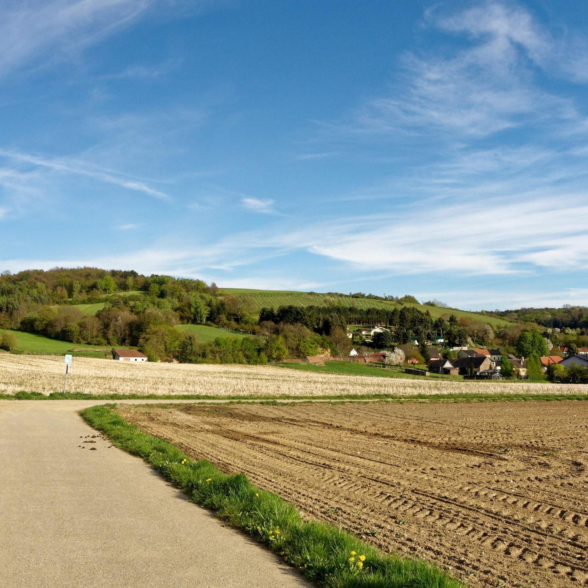
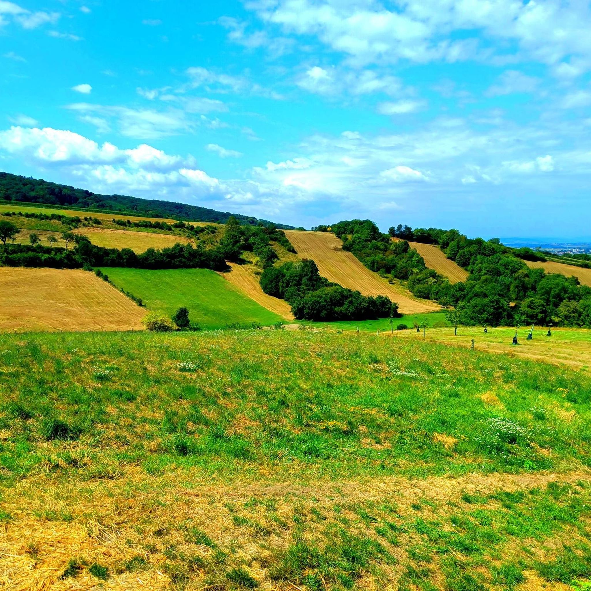
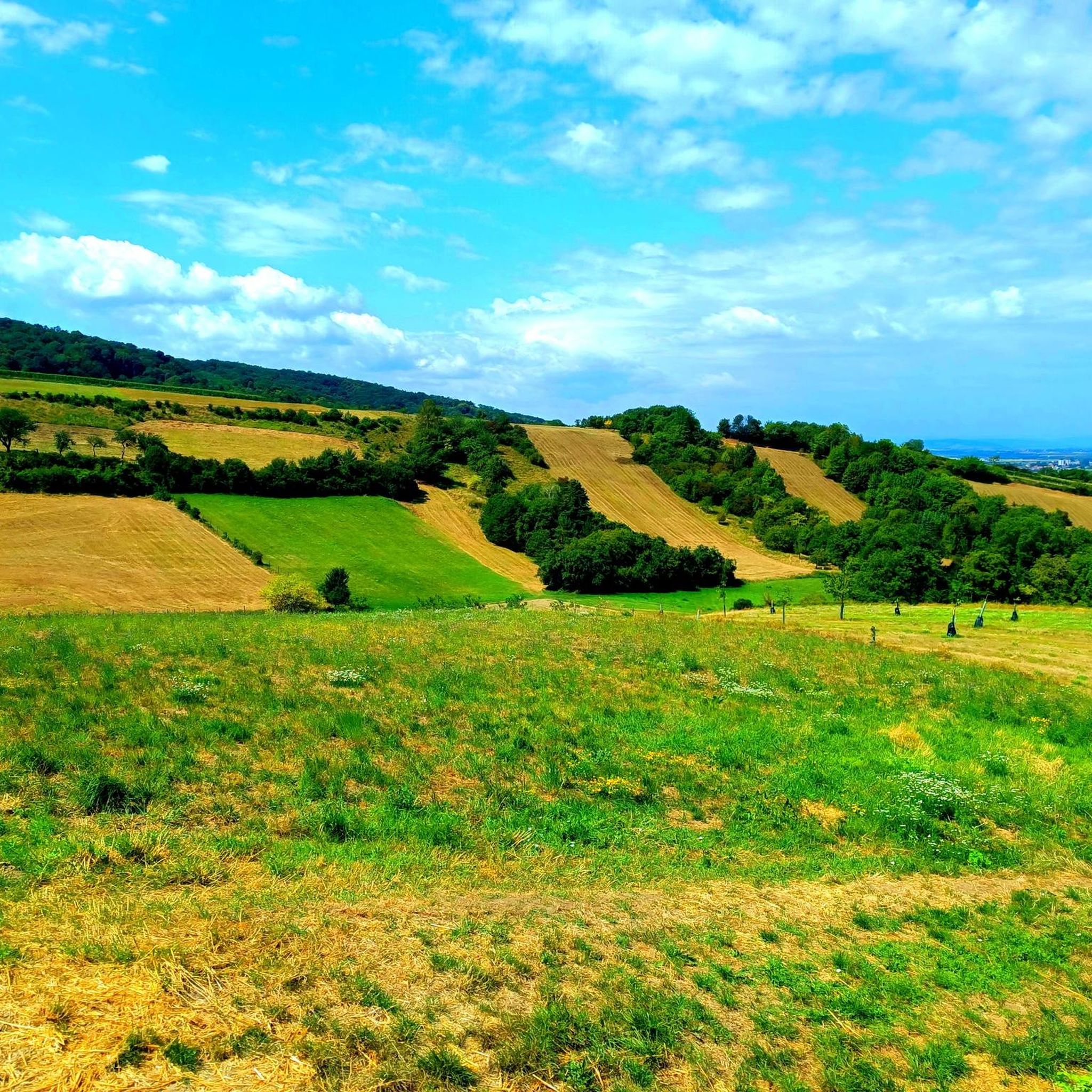
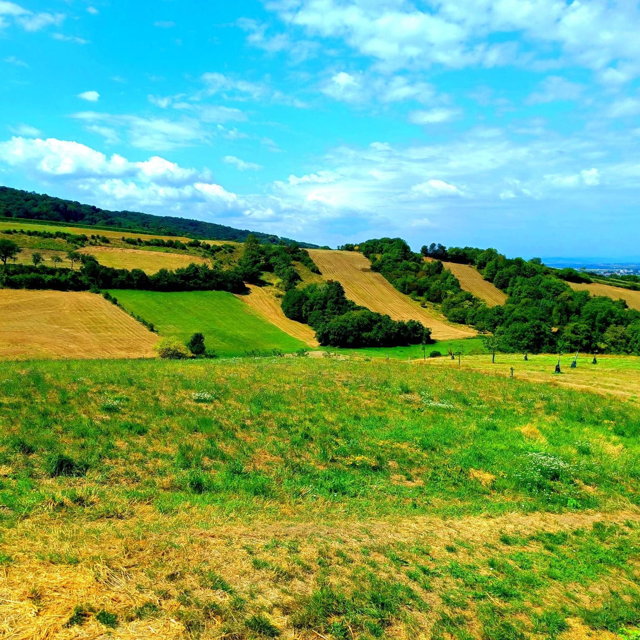
Jogging routes around Sieghartskirchen traverse a landscape characterized by rolling hills and varied terrain, offering a mix of forest paths and open country. The region features elevations up to 315 meters, providing opportunities for both gentle and more challenging running. These routes often lead through wooded areas and past agricultural fields, typical of the Lower Austrian countryside.
Best jogging routes around Sieghartskirchen
- The most popular jogging route is Hinterer Bonnaberg loop from Kogl, an 8.1 miles (13.1 km) trail…
Last updated: July 2, 2026
5.0
(1)
10
runners
13.1km
01:33
240m
240m
Moderate run. Good fitness required. Mostly paved surfaces. Suitable for all skill levels.
10
runners
Hard run. Very good fitness required. Sure-footedness, sturdy shoes and alpine experience required.

Sign up for free
7
runners
7.04km
00:45
80m
80m
Moderate run. Good fitness required. Mostly paved surfaces. Suitable for all skill levels.
9
runners
5.30km
00:36
70m
70m
Moderate run. Good fitness required. Mostly paved surfaces. Suitable for all skill levels.
6
runners
7.89km
00:56
160m
160m
Moderate run. Good fitness required. Mostly paved surfaces. Suitable for all skill levels.
Get access to more routes and recommendations from other explorers.
Sign up for free
Already have an account?
Our route recommendations are based on thousands of hikes, rides, and runs completed by other people on komoot.
Start today with a free account
Your next adventure awaits.
Login or Signup
Tips from the Community

As early as the 14th century, a St. Lawrence church is mentioned several times, for example in an inventory of the Bavarian Freising monastery from 1305/1306, a chapel that possibly stood on the Riederberg.
1
0

A leisurely trail through the forest. Only steeper in the upper section.
1
0

A little higher up on the roadside
0
0

The Troppberg is a 542 m high mountain in the northern Vienna Woods. It is located in the Lower Austrian market towns of Gablitz and Tullnerbach. Howdy, I visited this mountain as part of my dwarf mountain tour series: My goal is to climb every mountain in the Vienna Woods -> https://www.komoot.de/collection/2517195/-zwergbergtouren-im-wienerwald
4
0

Monastery ruins on the Way of St. James with a dark past.
2
1
One of the most beautiful views over the Vienna Woods, the Way of St. James, the Vienna Woods long-distance hiking trail 404, the Great Tullnerfeld circular hiking trail 475 and the Voralpenweg 04 pass here.
3
0
A little difficult to find, but an interesting discovery.
4
0
Frequently Asked Questions
How many running routes are available around Sieghartskirchen?
There are over 25 dedicated running routes in the Sieghartskirchen area, offering a diverse range of experiences for runners of all levels. These routes traverse rolling hills, dense woodlands, and open agricultural landscapes typical of Lower Austria.
Are there any easy or beginner-friendly jogging routes in Sieghartskirchen?
Yes, Sieghartskirchen offers several routes suitable for beginners. While many routes are moderate, there are options with less elevation gain. For a relatively gentle experience, consider the Running loop from Katastralgemeinde Kogl, which is 4.4 miles (7.0 km) and leads through a mix of open fields and woodlands.
What are some challenging running trails in the Sieghartskirchen region?
For those seeking a challenge, the region features routes with significant elevation changes. A notable difficult trail is the View of the Forest Edge – Troppberg Observation Tower loop from Riederberg. This 8.2 miles (13.2 km) path includes substantial climbs, rewarding runners with panoramic views from the observation tower.
Are there any circular jogging routes around Sieghartskirchen?
Many of the running routes in Sieghartskirchen are circular, allowing you to start and end at the same point. An excellent example is the Hinterer Bonnaberg loop from Kogl, an 8.1 miles (13.1 km) trail that offers a steady ascent through forested areas before looping back.
What kind of views or landmarks can I expect along the running trails?
The routes often lead through picturesque Lower Austrian countryside, offering views of rolling hills, agricultural fields, and dense forests. Some trails, like the View of the Forest Edge – Troppberg Observation Tower loop from Riederberg, lead to observation points with expansive vistas. You might also encounter historical sites such as Schloss Thalheim or Neulengbach Castle in the broader vicinity, though not directly on all running paths.
Is Sieghartskirchen a good place for quiet running routes?
Yes, the rural setting of Sieghartskirchen, with its extensive woodlands and agricultural fields, provides many opportunities for peaceful and quiet runs. Routes like the Running loop from Sieghartskirchen often take you away from main roads, allowing for a tranquil experience amidst nature.
What do other runners say about the trails in Sieghartskirchen?
The running routes in Sieghartskirchen are highly regarded by the komoot community, with an average rating of 5.0 stars. Runners frequently praise the varied terrain, the well-maintained paths, and the beautiful natural scenery that defines the Lower Austrian landscape.
Are there any shorter running routes, for example, around 5km?
Yes, if you're looking for a shorter run, the Saubühel Traverse loop from Riederberg is approximately 3.3 miles (5.3 km) long. This moderate route offers a good workout without requiring a significant time commitment.
What is the best time of year to go jogging in Sieghartskirchen?
Sieghartskirchen offers pleasant running conditions throughout much of the year. Spring and autumn provide mild temperatures and vibrant scenery, making them ideal. Summer mornings and evenings are also popular, while winter can be beautiful for running, especially on cleared paths, though some trails might be less accessible depending on snow conditions.
Are the running routes in Sieghartskirchen suitable for families?
Many of the moderate routes with less extreme elevation changes can be suitable for families, especially those with older children who enjoy running. The varied terrain and natural surroundings offer an engaging environment. Always check the specific route details for distance and difficulty to ensure it matches your family's fitness level.
Can I bring my dog on the jogging trails in Sieghartskirchen?
Generally, dogs are welcome on most public trails in the Sieghartskirchen area, provided they are kept on a leash and owners clean up after them. The numerous forest paths and open country sections are ideal for running with your canine companion. Always be mindful of local regulations and other trail users.
Is there public transport access to the running trails in Sieghartskirchen?
Sieghartskirchen is served by local bus routes that connect to surrounding villages and larger towns. While some trailheads might be accessible via public transport, it's advisable to check specific bus schedules and stops relative to your chosen starting point. Many routes are more easily accessed by car.
Where can I park when visiting the jogging trails in Sieghartskirchen?
Parking is generally available in the villages and near popular trailheads. For routes starting from specific locations like Kogl or Riederberg, you can often find designated parking areas or roadside parking. It's recommended to check maps or local information for the most convenient parking options for your chosen route.
Most popular routes around Sieghartskirchen
Most popular attractions around Sieghartskirchen

Get inspired with the komoot mobile app


Explore more
Browse the best Running Trails & Routes in other regions.
