The best running trails around Muckendorf-Wipfing
4.6
(205)
4,625
runners
10
runs
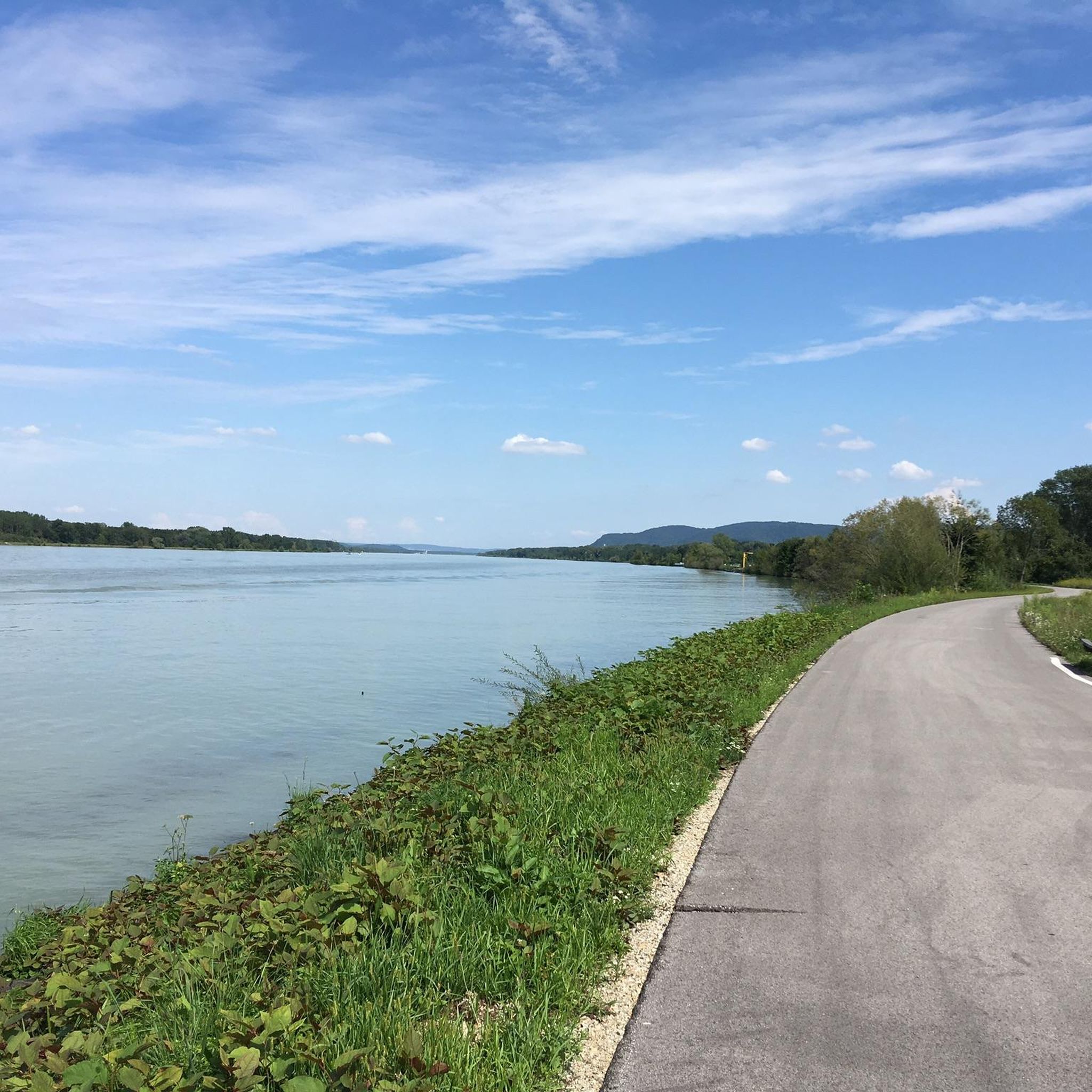
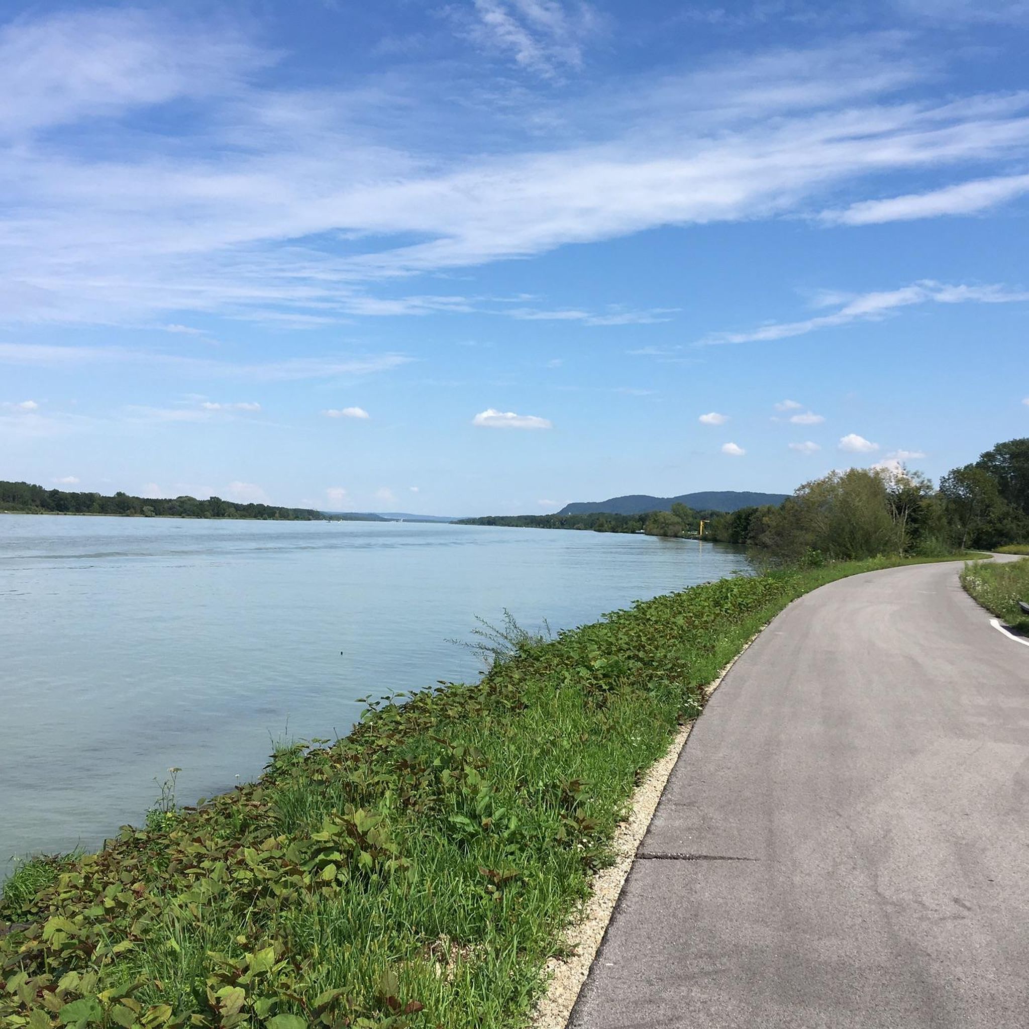
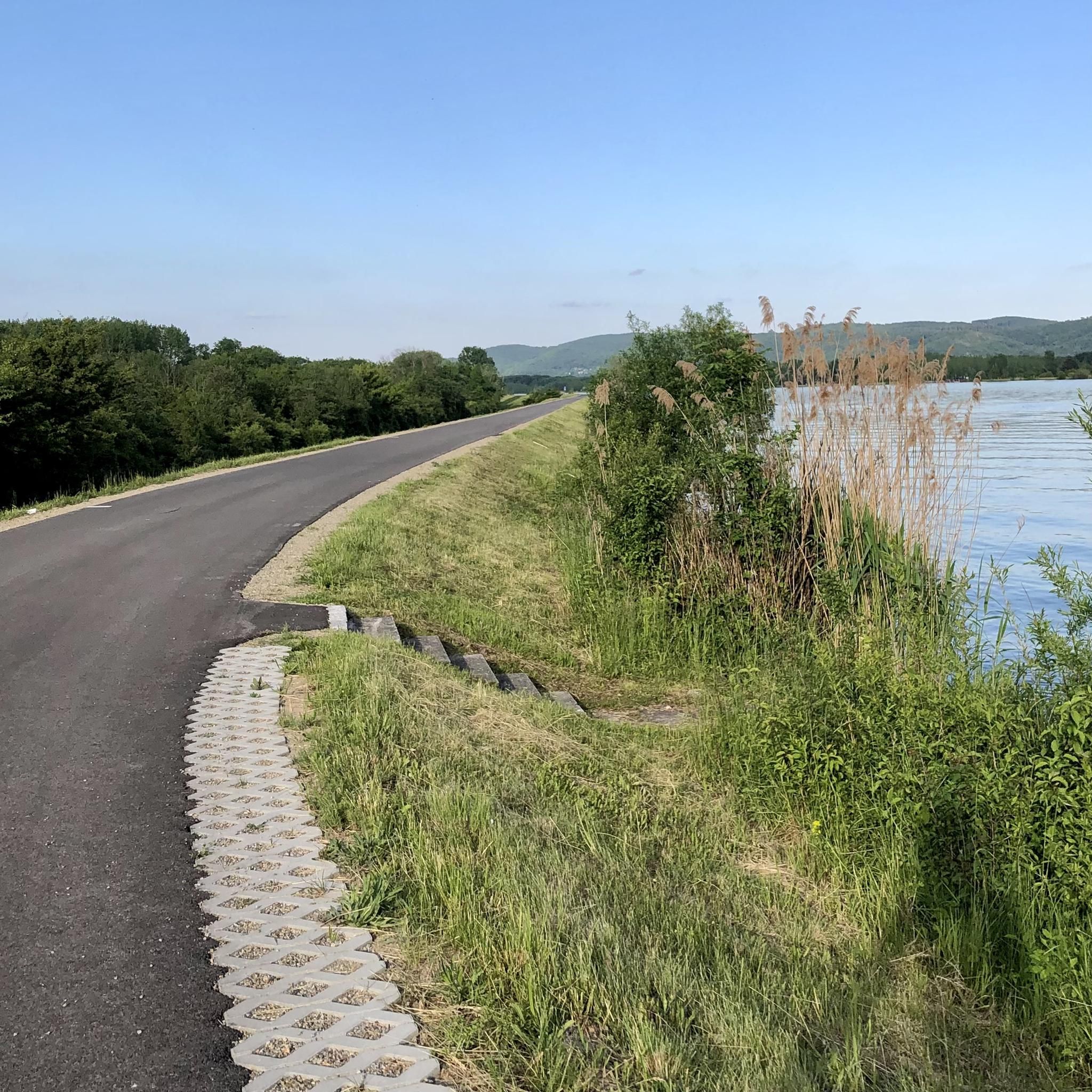
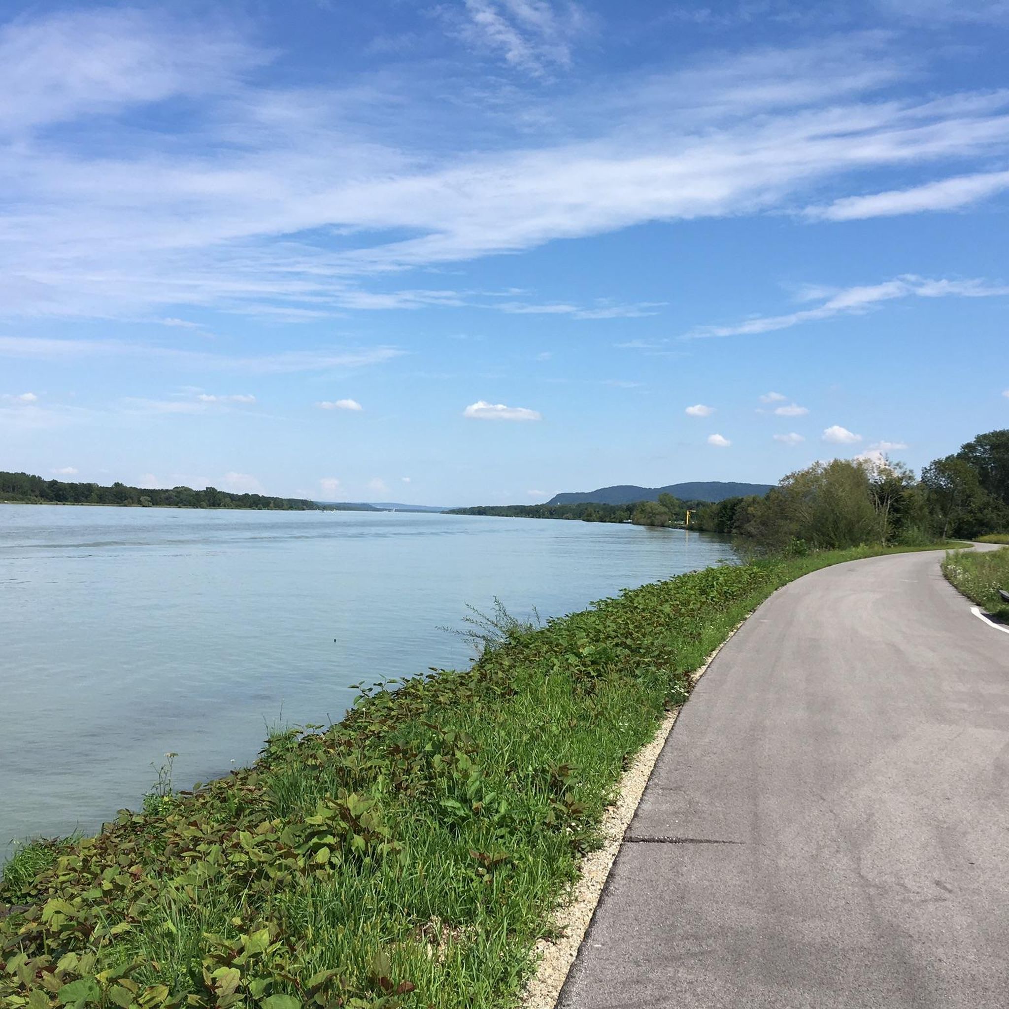
Jogging routes around Muckendorf-Wipfing are primarily characterized by the flat terrain along the Danube River. The region, situated on the southern bank of the Danube, features extensive riverbanks and a protected floodplain biotope. These natural features provide a varied landscape for running, with paths often winding through the "Weg durch die Au" (path through the floodplain forest). The area offers a mix of open riverside stretches and shaded sections within the floodplain, making it suitable for different running preferences.
Best…
Last updated: October 7, 2026
93
runners
Hard run. Very good fitness required. Mostly paved surfaces. Suitable for all skill levels.
5.0
(2)
18
runners
Moderate run. Good fitness required. Mostly paved surfaces. Suitable for all skill levels.

2.0
(1)
13
runners
5.64km
00:35
10m
10m
Moderate run. Good fitness required. Mostly paved surfaces. Suitable for all skill levels.
9
runners
7.16km
00:44
10m
10m
Moderate run. Good fitness required. Mostly paved surfaces. Suitable for all skill levels.
3
runners
15.7km
01:39
30m
30m
Hard run. Very good fitness required. Mostly paved surfaces. Suitable for all skill levels.
Get access to more routes and recommendations from other explorers.
Already have an account?
Our route recommendations are based on thousands of hikes, rides, and runs completed by other people on komoot.
Start today with a free account
Your next adventure awaits.
Tips from the Community

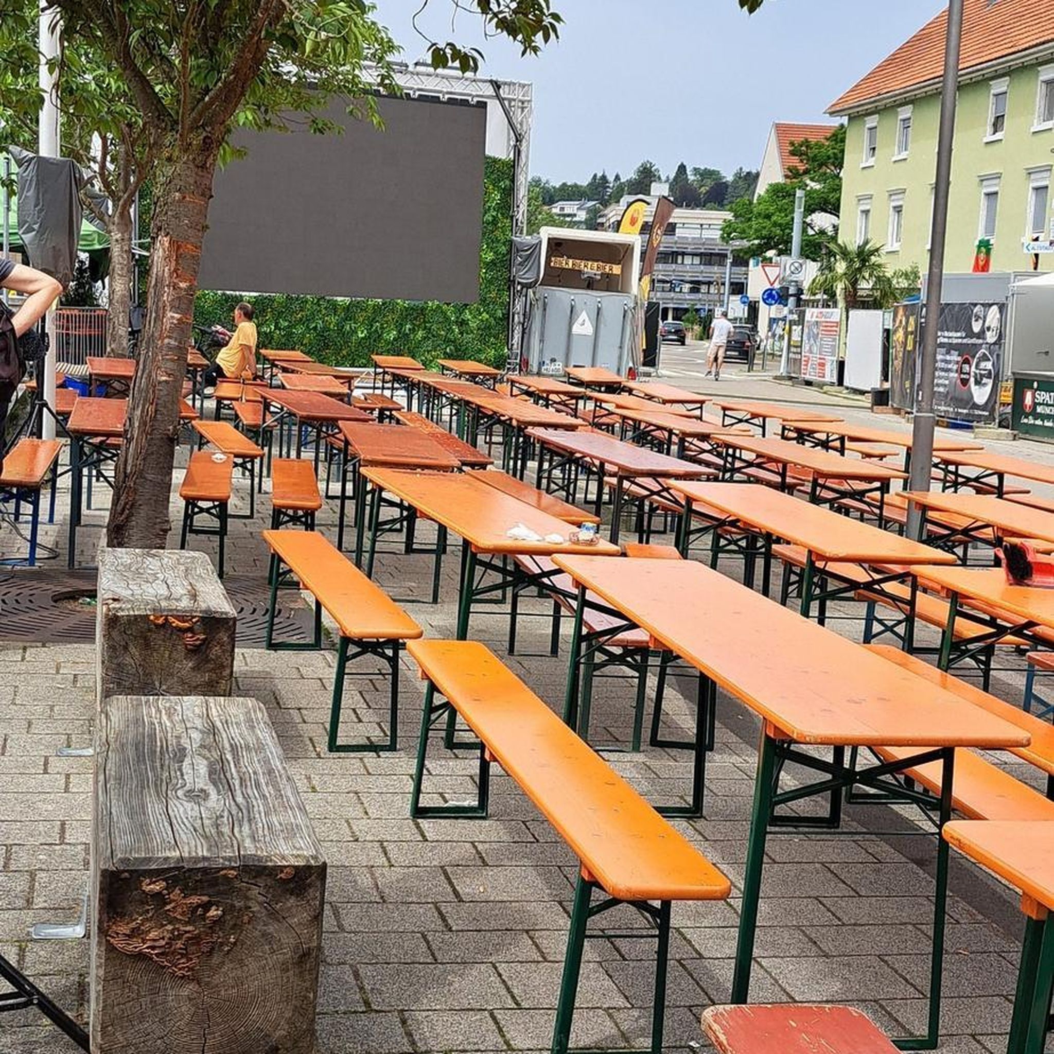
Great, spacious area (everyone has enough space and can keep their distance) by the water with plenty of trees and shady spots.
1
0
The food was very good but you wouldn't get full. Very small portions, the price too high for that.
2
0

The Danube Cycle Path near Langenlebarn (near Tulln) is one of the most relaxed and scenically beautiful sections in Lower Austria. As Langenlebarn is located directly on the southern bank of the Danube, you'll be cycling here in the heart of the Tullnerfeld.
0
0
In this section, the cycle path runs almost exclusively directly along the banks of the Danube. It is continuously asphalted, flat, and therefore ideal for leisurely cyclists, families, or road cyclists who want to clock up the miles.
0
0

Frequently Asked Questions
What kind of terrain can I expect on running routes in Muckendorf-Wipfing?
The running routes in Muckendorf-Wipfing are primarily characterized by flat terrain, especially along the Danube River. You'll find extensive riverbanks and paths winding through a protected floodplain biotope, often referred to as the "Weg durch die Au." This offers a varied landscape with both open riverside stretches and shaded sections, providing a refreshing environment for your run.
Are there any dedicated exercise trails for runners in the area?
Yes, Muckendorf-Wipfing features the unique Schritteweg (Steps Trail), specifically designed for activity and engagement. It connects the villages within the municipality and incorporates an exercise trail, a creative mile, and a sound station. This trail also offers resting spots and elements like a barefoot path and exercise stations, enhancing the overall experience for runners and walkers alike.
How many jogging routes are available in Muckendorf-Wipfing?
There are over a dozen dedicated jogging routes around Muckendorf-Wipfing, catering to various fitness levels. You'll find a good mix, with two easy routes, eight moderate options, and two more challenging trails to explore.
Are there any longer running routes for experienced joggers?
Absolutely. For those looking for a longer challenge, consider the difficult route, Boat Rental at Viehofner See – Aubad Recreation Park Tulln loop from Muckendorf-Wipfing. This trail spans about 15.3 km (9.5 miles) and offers scenic views along the Danube.
What do other runners enjoy most about jogging in Muckendorf-Wipfing?
The running trails here are highly rated by the komoot community, with an average score of 4.6 stars from over 140 reviews. Runners frequently praise the diverse scenery, from the refreshing Danube riverbanks to the tranquil floodplain biotope, and the well-maintained paths that make for an enjoyable experience.
Are there any moderate-difficulty running loops available?
Yes, there are several moderate options. A popular choice is the Running loop from Muckendorf-Wipfing, which is about 5.6 km (3.5 miles) long and provides a quick run through the local area, often incorporating parts of the floodplain landscape.
Can I find routes that are suitable for a quick run?
For a shorter, moderate run, the Langenlebarn – Rest Area at the Pump Station loop from Muckendorf-Wipfing is an excellent choice. It's approximately 5.9 km (3.6 miles) and leads through the Danube riverbanks, often completed in about 36 minutes.
Are there any themed trails that I can incorporate into my run?
Beyond the dedicated exercise trails, Muckendorf-Wipfing also serves as the starting point for the Planets Trail, which begins in Königstetten. This unique themed trail can add an educational and engaging dimension to your jogging excursion.
What kind of natural features will I encounter on the running paths?
You'll experience a rich variety of natural features, including the scenic Danube River and its banks, as well as a protected floodplain biotope. The area also offers a mix of trails through wooded areas ("Waldweg") and alongside fields ("Feldweg"), ensuring a diverse and engaging running experience.
Are there any points of interest or landmarks near the running routes?
While the focus is on natural beauty, you might find interesting spots. For example, the area has several huts that could serve as points of interest, such as the Sophienalpe or the Redlingerhütte, which are popular in the wider region.
Are there any running routes that offer a mix of riverside and forested sections?
Many routes in Muckendorf-Wipfing offer this combination. The proximity to the Danube means you'll often find paths along the river, which then transition into the protected floodplain biotope, providing shaded sections through diverse ecosystems. This mix prevents monotony and offers varied scenery.
Is there a moderate-difficulty route that covers a longer distance?
Yes, for a moderate run that covers more ground, consider the Burgus - Kastell Cannabiaca loop from Muckendorf-Wipfing. This route is approximately 10.3 km (6.4 miles) and offers a good balance of distance and manageable terrain.
Most popular routes around Muckendorf-Wipfing
Most popular attractions around Muckendorf-Wipfing

Get inspired with the komoot mobile app


Explore more
Browse the best Running Trails & Routes in other regions.
