The best running trails around Klausen-Leopoldsdorf
4.5
(172)
2,718
runners
169
runs
Jogging around Klausen-Leopoldsdorf offers diverse landscapes within the scenic Wienerwald (Vienna Woods), characterized by a varied topography of hills, valleys, and dense forests. The region is encircled by mountain ridges, including the Jochgrabenberg and the Schöpfl, the highest peak in the Vienna Woods. Numerous valleys and streams, such as the Schwechat river, create picturesque, winding paths ideal for running. The area's geological diversity, with alternating layers of sandstones and marl, contributes to varied terrain underfoot.
Best jogging routes around Klausen-Leopoldsdorf
…Last updated: July 2, 2026
5.0
(2)
28
runners
Moderate run. Good fitness required. Mostly paved surfaces. Suitable for all skill levels.
5.0
(1)
15
runners
5.68km
00:40
130m
130m
Moderate run. Good fitness required. Mostly paved surfaces. Suitable for all skill levels.

Sign up for free
7
runners
8.67km
01:01
240m
240m
Moderate run. Good fitness required. Mostly paved surfaces. Suitable for all skill levels.
4
runners
7.52km
00:51
180m
180m
Moderate run. Good fitness required. Mostly paved surfaces. Suitable for all skill levels.
4
runners
14.2km
01:35
230m
240m
Moderate run. Good fitness required. Mostly paved surfaces. Suitable for all skill levels.
Get access to more routes and recommendations from other explorers.
Sign up for free
Already have an account?
Our route recommendations are based on thousands of hikes, rides, and runs completed by other people on komoot.
Start today with a free account
Your next adventure awaits.
Login or Signup
Tips from the Community

The sacral wayside shrine, commonly known by the name ENGELKREUZ, which we encounter here, is – contrary to its name – no longer an image of the cross, but instead shows the viewer a different image of Christ. The modern-looking imagery presents us not with the suffering Son of God who died on the cross, but with the one resurrected from death and glorified by God the Father. The attentive observer might feel reminded of a new interpretation of the classic PANTOCRATOR motif.
0
0

Take a short break, funny to watch.
0
0

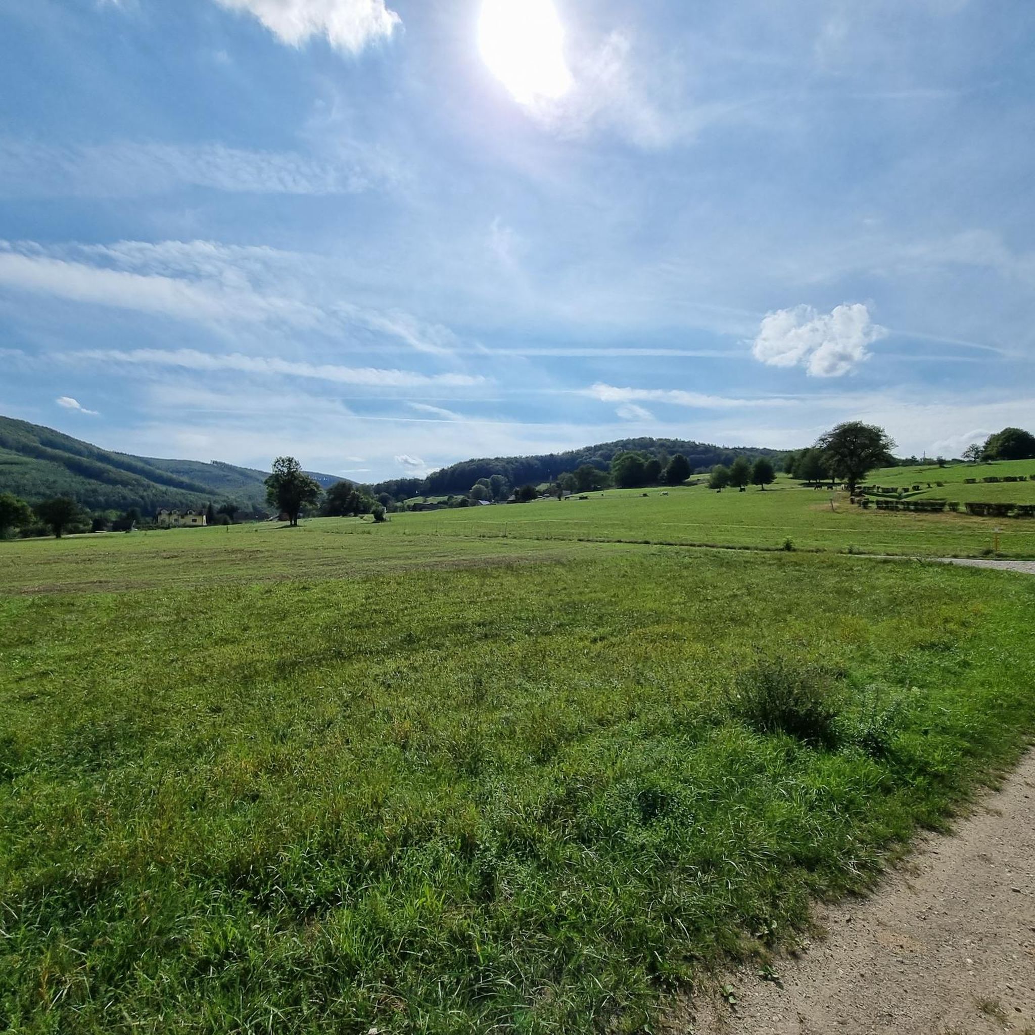
According to tradition, a pastor once walked across the meadow, it belonged to a farmer named ENGEL, it was free-range farming and cattle grazed here.
1
0

Model rotates easily with the hammer worker even with little water
1
0

Nice rest area with a fun water wheel and lots to explore.
2
0

If this highlight already exists twice, then I recommend it twice :-)
0
0
A very interesting model to look at.
1
1

Thanks to Intertronic for this great description of the angel cross!
2
0
Frequently Asked Questions
How many running routes are available in Klausen-Leopoldsdorf?
Klausen-Leopoldsdorf offers a wide selection of running routes, with over 170 trails documented on komoot. These routes cater to various fitness levels, from easy jogs to more demanding trail runs through the Wienerwald.
What kind of terrain can I expect on the running trails in Klausen-Leopoldsdorf?
The terrain in Klausen-Leopoldsdorf is quite varied, reflecting its location in the Wienerwald. You'll find undulating hills, dense forests, and paths winding along numerous streams like the Schwechat river. The geological diversity, with alternating layers of sandstones and marl, means you'll encounter both firm and more yielding paths, offering a dynamic and engaging workout.
Are there routes suitable for beginners or those looking for an easy jog?
Yes, Klausen-Leopoldsdorf has several easy running routes perfect for beginners or those seeking a relaxed jog. There are 4 easy routes available, often featuring mostly paved surfaces or well-maintained paths, allowing for a smooth and enjoyable experience.
What do other runners say about the trails in Klausen-Leopoldsdorf?
The running routes in Klausen-Leopoldsdorf are highly rated by the komoot community, with an average score of 4.5 stars from over 170 reviews. Runners often praise the tranquil setting, the diverse landscapes of the Wienerwald, and the well-maintained paths that offer a refreshing escape into nature.
Are there any challenging running trails for experienced runners?
Absolutely. For experienced runners seeking a challenge, Klausen-Leopoldsdorf offers 44 difficult routes. These trails often feature significant elevation changes, taking you up mountain ridges like the Jochgrabenberg or towards the Schöpfl, the highest peak in the Vienna Woods, providing rewarding panoramic views and a strenuous workout.
Are the running routes in Klausen-Leopoldsdorf suitable for families?
Many of the trails in Klausen-Leopoldsdorf are suitable for families, especially the easier routes that wind through forests and along streams. These paths provide a safe and scenic environment for a family jog or walk, allowing everyone to enjoy the natural beauty of the Wienerwald.
Can I bring my dog on the running trails?
Yes, many of the running trails in Klausen-Leopoldsdorf are dog-friendly. The extensive network of paths through forests and along waterways provides ample space for you and your canine companion to enjoy a run together. Always ensure your dog is under control and check for any specific local regulations regarding pets on trails.
Are there circular running routes available?
Yes, Klausen-Leopoldsdorf features numerous circular running routes, allowing you to start and end your run at the same point without retracing your steps. An example is the Running loop from Steinhäusl, which winds through the rolling hills and forests, offering a complete scenic experience.
What are some scenic viewpoints or natural features to look out for while running?
While running in Klausen-Leopoldsdorf, you'll encounter diverse natural features. The region is rich in forests, streams, and valleys. Keep an eye out for picturesque river views, especially along routes like the Seppbrunnen Watermill Model – River View Near St. Pölten loop from Schloss Tannenmühle. The higher elevations also offer rewarding panoramic views of the Wienerwald.
Are there any historical landmarks or attractions near the running paths?
Yes, the area around Klausen-Leopoldsdorf has several interesting attractions. You might encounter religious buildings like the Fairy Tale Forest Chapel and Pond or the Lourdes Grotto. For those interested in history, the Arnstein Castle Ruins are also nearby, offering a glimpse into the region's past.
How can I access the running routes using public transport?
While Klausen-Leopoldsdorf is nestled in the Wienerwald, public transport options are available. Regional bus services connect the municipality to larger towns and train stations, from where you can access various trailheads. It's advisable to check local bus schedules for the most up-to-date information on routes and stops near your desired starting point.
Is parking available near the trailheads?
Yes, parking is generally available near many of the popular trailheads and starting points for running routes in and around Klausen-Leopoldsdorf. As it's a popular outdoor destination, designated parking areas are often provided to accommodate visitors. Look for signs indicating public parking or consult local maps for specific parking locations.
What is the best season for running in Klausen-Leopoldsdorf?
Klausen-Leopoldsdorf offers excellent running conditions throughout much of the year. Spring and autumn provide pleasant temperatures and beautiful scenery with blooming flora or vibrant fall foliage. Summer is also great, with the dense forests offering ample shade. Even winter can be enjoyable for running, especially on cleared paths, though some higher elevation trails might require more suitable gear.
Are there places to stop for refreshments near the running routes?
Yes, you can find places for refreshments near some of the running routes in Klausen-Leopoldsdorf and the surrounding villages. There are local cafes and traditional Austrian Gasthäuser (pubs/restaurants) where you can refuel with a drink or a meal after your run. These establishments are often located in the village centers or along more frequented paths.
Most popular routes around Klausen-Leopoldsdorf
Most popular attractions around Klausen-Leopoldsdorf

Get inspired with the komoot mobile app


Explore more
Browse the best Running Trails & Routes in other regions.
