The best running trails around Hirtenberg
4.4
(214)
6,434
runners
431
runs
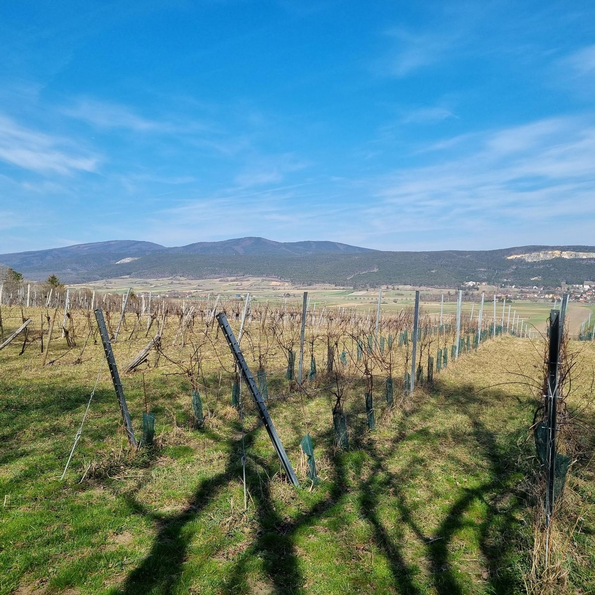
Jogging around Hirtenberg offers a diverse landscape of rolling hills, lush forests, and open meadows, providing varied running routes. The region is situated at the end of the Triestingtal valley, where the Lower Austrian Prealps meet the Vienna Basin, creating a mix of terrain. Elevations range from the town's 280 meters to surrounding hills up to 470 meters, offering gradual inclines and scenic views. Dry black pine and oak forests, alongside beech forests, provide shaded paths for runners.
Best jogging…
Last updated: July 4, 2026
5.0
(1)
211
runners
Moderate run. Good fitness required. Mostly paved surfaces. Suitable for all skill levels.
3.0
(1)
38
runners
Moderate run. Good fitness required. Mostly paved surfaces. Suitable for all skill levels.

Sign up for free
5.0
(1)
33
runners
9.16km
00:57
80m
80m
Moderate run. Good fitness required. Mostly paved surfaces. Suitable for all skill levels.
20
runners
7.70km
00:48
30m
30m
Moderate run. Good fitness required. Mostly paved surfaces. Suitable for all skill levels.
19
runners
Hard run. Very good fitness required. Mostly paved surfaces. Suitable for all skill levels.
Get access to more routes and recommendations from other explorers.
Sign up for free
Already have an account?
Our route recommendations are based on thousands of hikes, rides, and runs completed by other people on komoot.
Start today with a free account
Your next adventure awaits.
Login or Signup


Tips from the Community

Berndorf-Stadt train station (J.-F.-Kennedy-Platz 1, 2560 Berndorf, Lower Austria) is the terminus of the Triestingtalbahn. The listed station building is picturesquely located next to the Triesting in the district of Baden.
0
0
The spring initially became known for its alleged healing effects, even those condemned to death are said to have recovered. Primarily, those with eye diseases sought it out; a blind woman is said to have regained her sight, and the son Peter von Braun (1758–1819), owner of Schönau an der Triesting, was reportedly cured of a severe eye ailment.
1
1

Great place
0
0


The train station is right next to the pedestrian zone, and if you don't want to go any further after a long visit to the cafe, you can easily take the train home.
1
0

We visited the rest area without any labels...
26
0

If it suddenly starts to rain heavily, you can wait for a storm here...
0
0
Frequently Asked Questions
How many running routes are available in Hirtenberg?
Hirtenberg offers a wide variety of running routes, with over 400 options available on komoot. These range from easy strolls to challenging long-distance runs, catering to all fitness levels.
What kind of terrain can I expect on jogging trails around Hirtenberg?
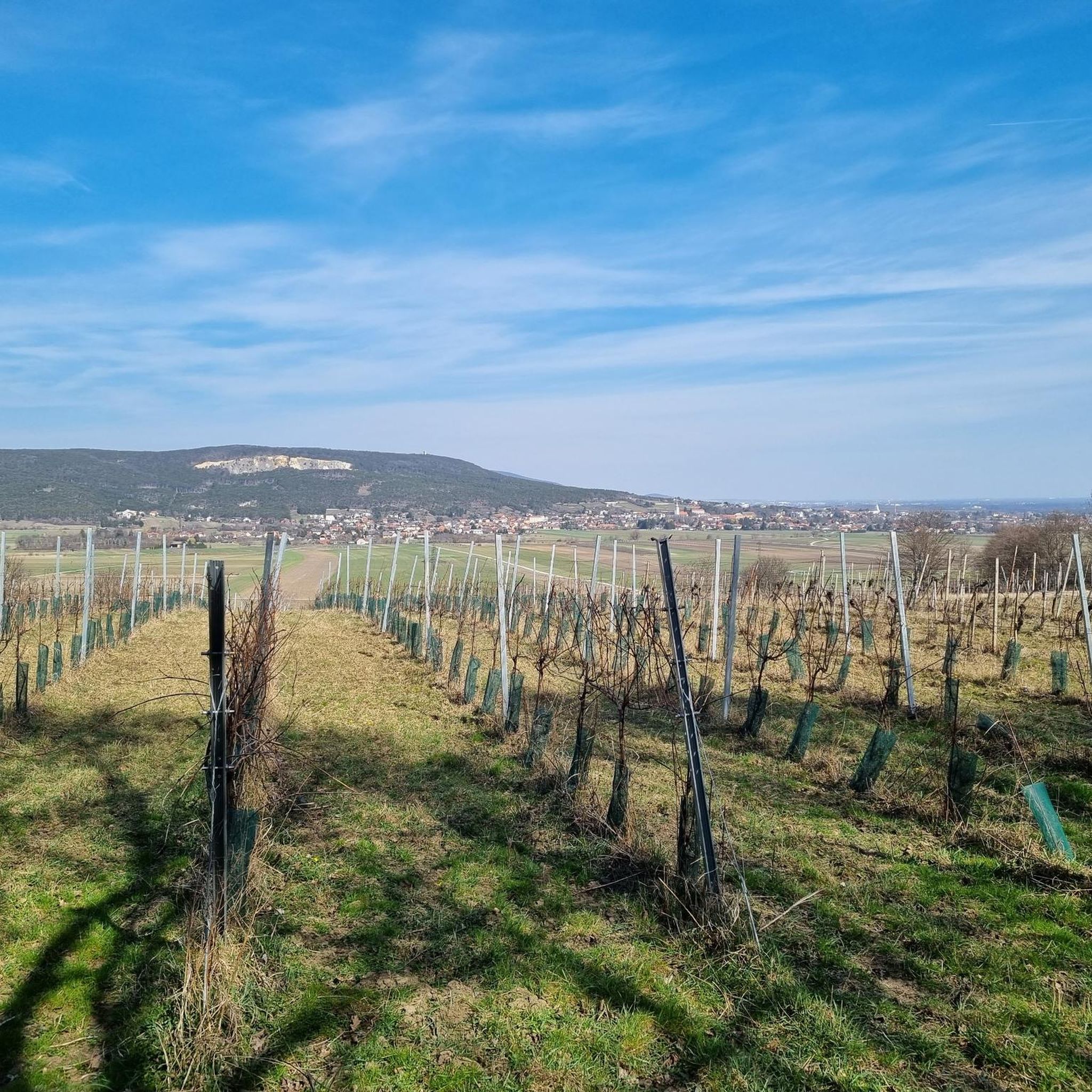
The jogging trails in Hirtenberg feature diverse terrain, from gentle meadows and vineyards to lush forests and rolling hills. You'll find paths through the picturesque Triesting Valley and the Vienna Woods, with elevations ranging from 280 meters in town to around 470 meters on surrounding hills like Guglzipf, offering varied inclines and scenic views.
Are there any easy jogging routes suitable for beginners or families?
Yes, Hirtenberg has several easy running routes perfect for beginners or families. While specific routes for strollers are not detailed, the region's gentle meadows and forest paths offer accessible options. For a moderately challenging but scenic experience, consider the Running loop from St. Veit an der Triesting, which is 9.2 km long.
Can I find challenging running trails in Hirtenberg?
Absolutely. For those seeking a more demanding run, Hirtenberg offers several difficult routes. The Triesting River loop from Enzesfeld-Lindabrunn is a challenging 20.1 km trail, while the Aich Cross (Frenchmen’s Cross) – Guglzipf Observation Tower loop from Enzesfeld-Lindabrunn provides a strenuous 17.1 km run with significant elevation changes.
Are there circular jogging routes in the Hirtenberg area?
Yes, many of the running routes in Hirtenberg are circular, allowing you to start and finish at the same point. A popular moderate circular route is the Untere Setz Steg – Triestinger Graben Bridge loop from Enzesfeld-Lindabrunn, covering 12.2 km with varied scenery.
What are some scenic points of interest or landmarks I can see while running?
Hirtenberg's routes often pass by interesting sights. You might encounter historical structures like the Kottingbrunn Castle or the Ruins of Merkenstein Castle. For panoramic views, look out for observation towers such as the Sina Warte Observation Tower or the Franz-Bichler-Warte Observation Tower, which offer stunning vistas over the landscape.
What do other runners enjoy most about jogging in Hirtenberg?
The komoot community highly rates the running experience in Hirtenberg, with an average score of 4.4 stars from over 180 reviews. Runners frequently praise the diverse landscape, which includes rolling hills, lush forests, and open meadows, providing varied and scenic backdrops for their runs. The well-maintained paths and the mix of easy to difficult routes also contribute to its popularity.
Are there any dog-friendly running trails in Hirtenberg?
Many trails in the Hirtenberg region are suitable for running with dogs, especially those through the Vienna Woods and Triesting Valley. While specific regulations may apply in certain protected areas, generally, well-behaved dogs on a leash are welcome on most forest and meadow paths. Always ensure your dog is under control and respect local signage.
How can I access jogging routes in Hirtenberg using public transport?
Hirtenberg is accessible by public transport, making it possible to reach various trailheads without a car. The town is located at the end of the Triesting Valley, and local bus services connect to surrounding villages like Enzesfeld-Lindabrunn and St. Veit an der Triesting, where many routes begin. Check local bus schedules for the most up-to-date information on connections.
Is there parking available near the running trails in Hirtenberg?
Yes, parking is generally available in and around Hirtenberg, particularly near trailheads in villages like Enzesfeld-Lindabrunn and St. Veit an der Triesting. Many routes start from easily accessible points where public parking is provided, though it's always advisable to check specific starting points for designated parking areas.
What is the best time of year for jogging in Hirtenberg?
Hirtenberg offers excellent jogging conditions throughout much of the year. Spring and autumn provide pleasant temperatures and beautiful scenery with blooming flowers or vibrant foliage. Summer mornings and evenings are ideal to avoid the midday heat, while winter can offer serene, snow-dusted trails, though some paths may require appropriate footwear for icy conditions.
Most popular routes around Hirtenberg
Most popular attractions around Hirtenberg

Get inspired with the komoot mobile app


Explore more
Browse the best Running Trails & Routes in other regions.
