The best running trails around Vorderweißenbach
5.0
(4)
176
runners
27
runs
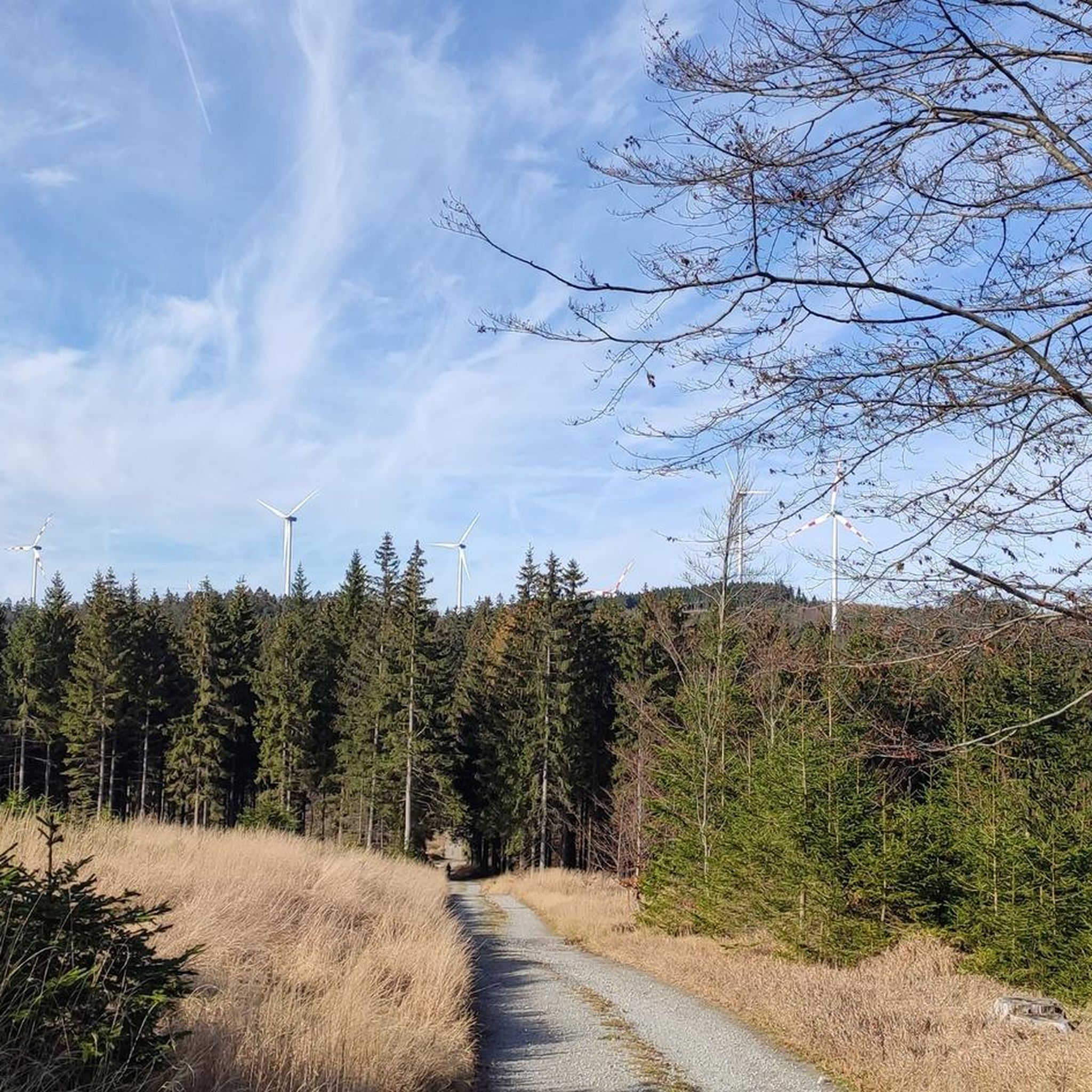
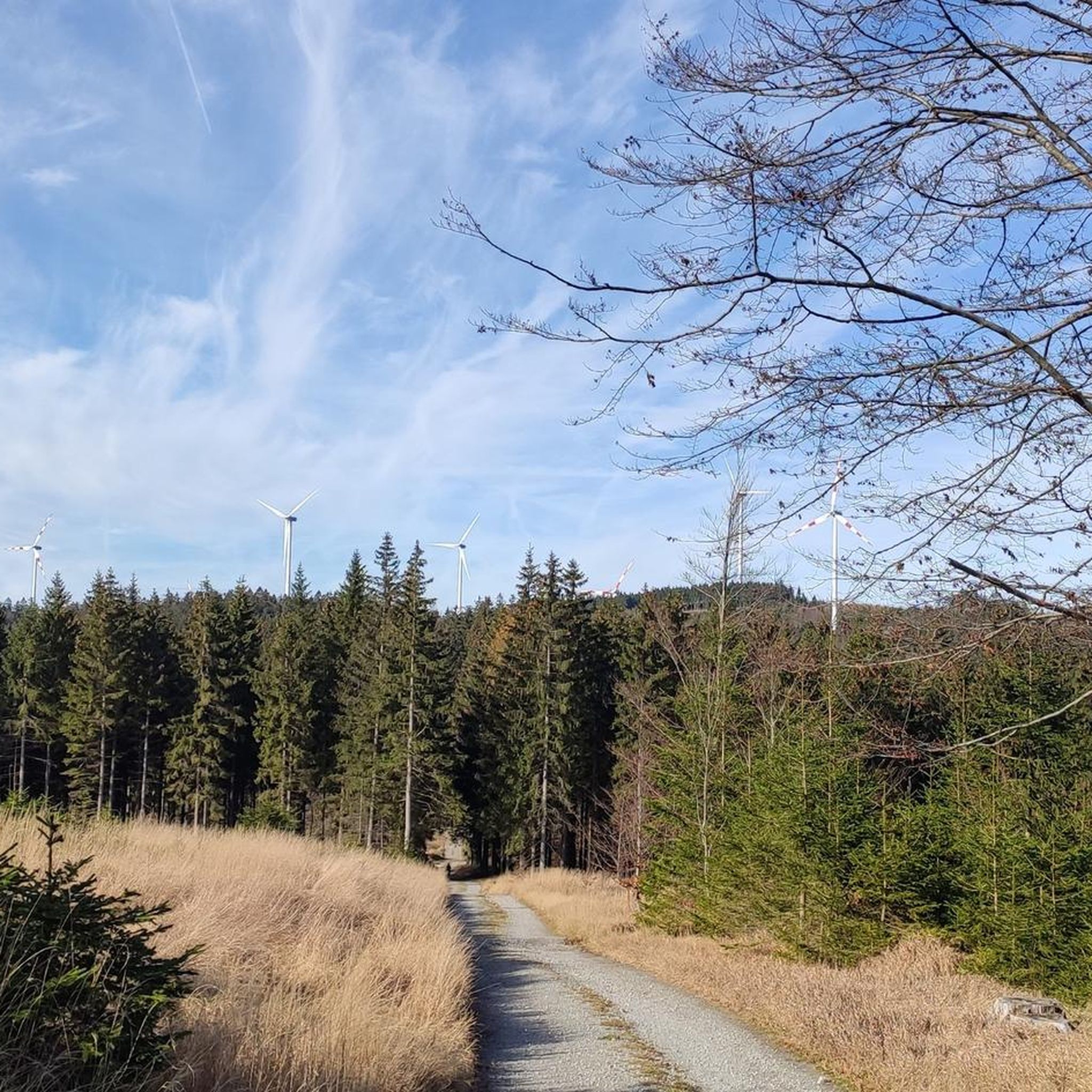
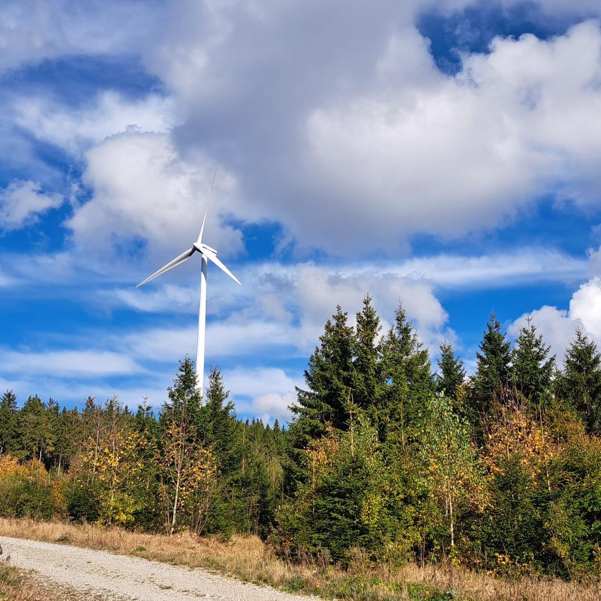
Jogging around Vorderweißenbach offers diverse landscapes, characterized by idyllic forest and meadow trails. The region is situated in the Mühlviertler Hochland, with the Sternstein mountain as a prominent feature, reaching 1,125 meters. Runners can explore paths that wind through unspoilt nature and past granite formations, providing varied terrain for different fitness levels.
Best jogging routes around Vorderweißenbach
- The most popular jogging route is 1000-Meter Spot loop from Walz, a 6.0 miles (9.7 km) trail that takes 1 hour 1…
Last updated: July 2, 2026
5.0
(1)
26
runners
9.71km
01:02
130m
130m
Moderate run. Good fitness required. Mostly paved surfaces. Suitable for all skill levels.
5.0
(1)
27
runners
12.8km
01:30
340m
340m
Hard run. Very good fitness required. Mostly paved surfaces. Suitable for all skill levels.

Sign up for free
14
runners
3.57km
00:29
160m
160m
Moderate run. Good fitness required. Mostly paved surfaces. Suitable for all skill levels.
14
runners
12.7km
01:27
240m
240m
Moderate run. Good fitness required. Mostly paved surfaces. Suitable for all skill levels.
9
runners
6.49km
00:43
130m
130m
Moderate run. Good fitness required. Mostly paved surfaces. Suitable for all skill levels.
Get access to more routes and recommendations from other explorers.
Sign up for free
Already have an account?
Our route recommendations are based on thousands of hikes, rides, and runs completed by other people on komoot.
Start today with a free account
Your next adventure awaits.
Login or Signup
Popular around Vorderweißenbach
Other adventures around Vorderweißenbach

Tips from the Community

Water source: It is unclear whether the water runs year-round.
5
0


Beautifully maintained resting place at exactly 1000 m above sea level. Spring water is also drinkable. (No notice "Not for drinking")
1
0

The Sternstein is 1125 m high and is located in the municipality of Vorderweißenbach. It is the highest elevation in the central Mühlviertel. The Sternsteinwarte, built in 1899, invites you to take a panoramic view from Bohemia to the Alps.
4
0

Many paths lead to the Sternstein.
3
0

A beautiful little peak, surrounded by trees and with a lookout towering above it! Wonderful view of the country!
3
0

Unfortunately, I don't know anything about the spring catchment. No idea whether it is open or closed and therefore also suitable for drinking water. I no longer drink from open spring catchments, where all kinds of animals can frolic in them. The place invites you to take a break - it is well placed and beautifully done. This place was on our tour: 2023.05.01. STERNSTEIN (P) - STERNWALD - GUGLWALD - formerly FRANTOLY (Frauenthal) https://www.komoot.de/tour/1148740262
2
1
This place was on our tour: 2023.05.01. STERNSTEIN (P) - STERNWALD - GUGLWALD - formerly FRANTOLY (Frauenthal) https://www.komoot.de/tour/1148740262
1
0
Frequently Asked Questions
How many running routes are available in Vorderweißenbach?
Vorderweißenbach offers a good selection of running routes, with over 25 trails available for exploration. These routes cater to various fitness levels, from moderate to challenging, ensuring there's something for every runner.
What kind of terrain can I expect on the running trails in Vorderweißenbach?
The running trails around Vorderweißenbach feature a diverse landscape, primarily characterized by idyllic forest and meadow paths. You'll also encounter routes with mostly paved surfaces, especially around the Sternstein mountain, and some paths wind through unspoilt nature with granite formations, offering varied and engaging terrain.
Are there any easy or beginner-friendly jogging routes?
While many routes are moderate, there are options suitable for beginners. The region's extensive forest and meadow trails provide gentler paths. For example, the Sternstein Observation Tower loop from Sternstein is a shorter, moderate trail that can be a good starting point, leading through pleasant forest paths.
Can I bring my dog on the running trails?
Yes, many of the forest and meadow trails in Vorderweißenbach are suitable for running with dogs. The natural environment and varied terrain provide an excellent experience for both you and your canine companion. Always ensure your dog is on a leash and that you follow local regulations regarding pets in natural areas.
Are there any circular running routes in the area?
Absolutely! Most of the running routes in Vorderweißenbach are designed as circular loops, allowing you to start and finish at the same point. Popular examples include the 1000-Meter Spot loop from Walz and the more challenging Sternsteinhof – Sternstein Observation Tower loop from Sternstein.
What are some scenic viewpoints or landmarks I can see while running?
The region offers several rewarding sights. The Sternstein Observation Tower is a prominent landmark, offering panoramic views from Bohemia to the Alps. The '1000-Meter Spot' is another notable feature, and you'll also encounter beautiful granite formations and unspoilt nature throughout your runs. The European Watershed Monument Mühlviertel is also an interesting point of interest.
Are there any running routes that lead to the Sternstein mountain?
Yes, the Sternstein mountain, the highest elevation in the central Mühlviertel, is a focal point for several running routes. The 1000-Meter Spot – Sternstein Observation Tower loop from Sternstein is a great option that takes you up the mountain, offering significant elevation gain and rewarding views.
What is the best time of year for jogging in Vorderweißenbach?
Vorderweißenbach is beautiful for jogging throughout the warmer months, from spring to autumn, when the forest and meadow trails are most inviting. The region's diverse landscapes are particularly stunning during these seasons. Winter running is also possible, but conditions may vary, and some trails might be snow-covered.
Are there places to eat or drink near the running trails?
Yes, Vorderweißenbach is known as a 'village of delicacies' with an emphasis on regional products. You can find places like the Forest tavern at the Sternstein, which is conveniently located near some of the popular running routes, perfect for a refreshment after your run.
What do other runners enjoy most about jogging in Vorderweißenbach?
The running routes in Vorderweißenbach are highly rated by the komoot community, with an average score of 5.0 stars. Runners frequently praise the diverse landscapes, the serene forest and meadow trails, and the rewarding views from elevations like the Sternstein mountain. The variety of routes catering to different fitness levels is also a highlight.
Are there any family-friendly running options?
While specific 'family-friendly' routes aren't explicitly designated, the extensive network of forest and meadow trails offers many paths with moderate difficulty and less extreme elevation changes, which can be suitable for families looking for a more relaxed run or walk together. Shorter loops are generally a good choice for families.
Is parking available near the trailheads?
Yes, many of the popular running routes in Vorderweißenbach have accessible parking options near their starting points. For instance, routes originating from 'Walz' or 'Sternstein' typically have designated parking areas, making it convenient to access the trails.
Most popular routes around Vorderweißenbach
Most popular attractions around Vorderweißenbach

Get inspired with the komoot mobile app


Explore more
Browse the best Running Trails & Routes in other regions.
