The best running trails around Schenkenfelden
4.6
(67)
1,960
runners
29
runs
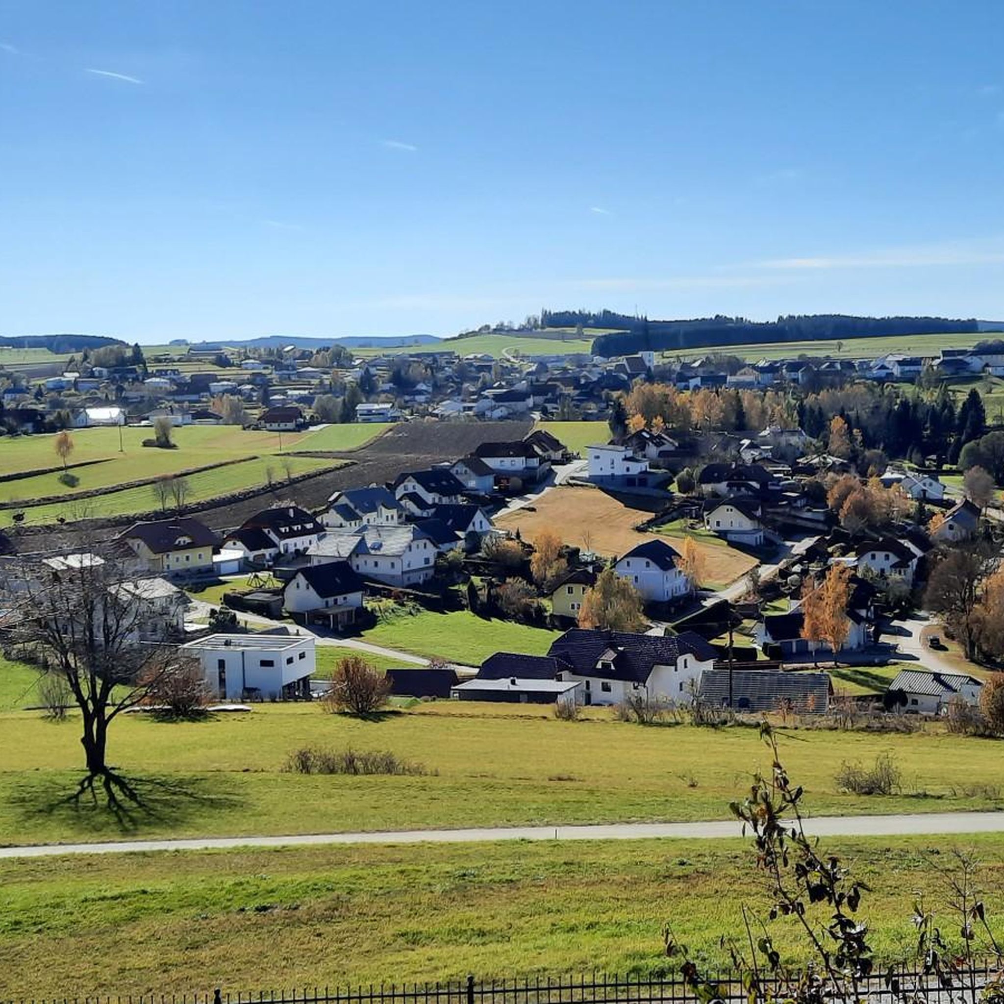
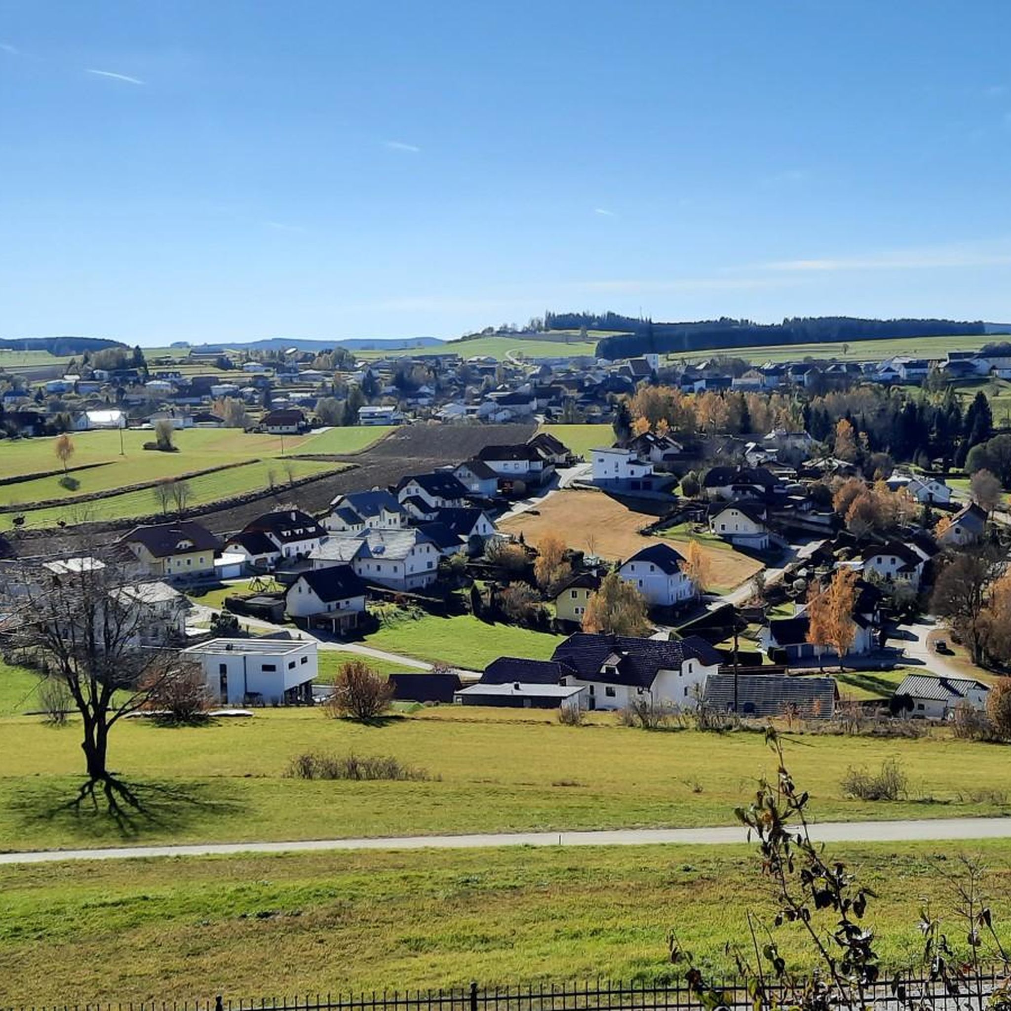
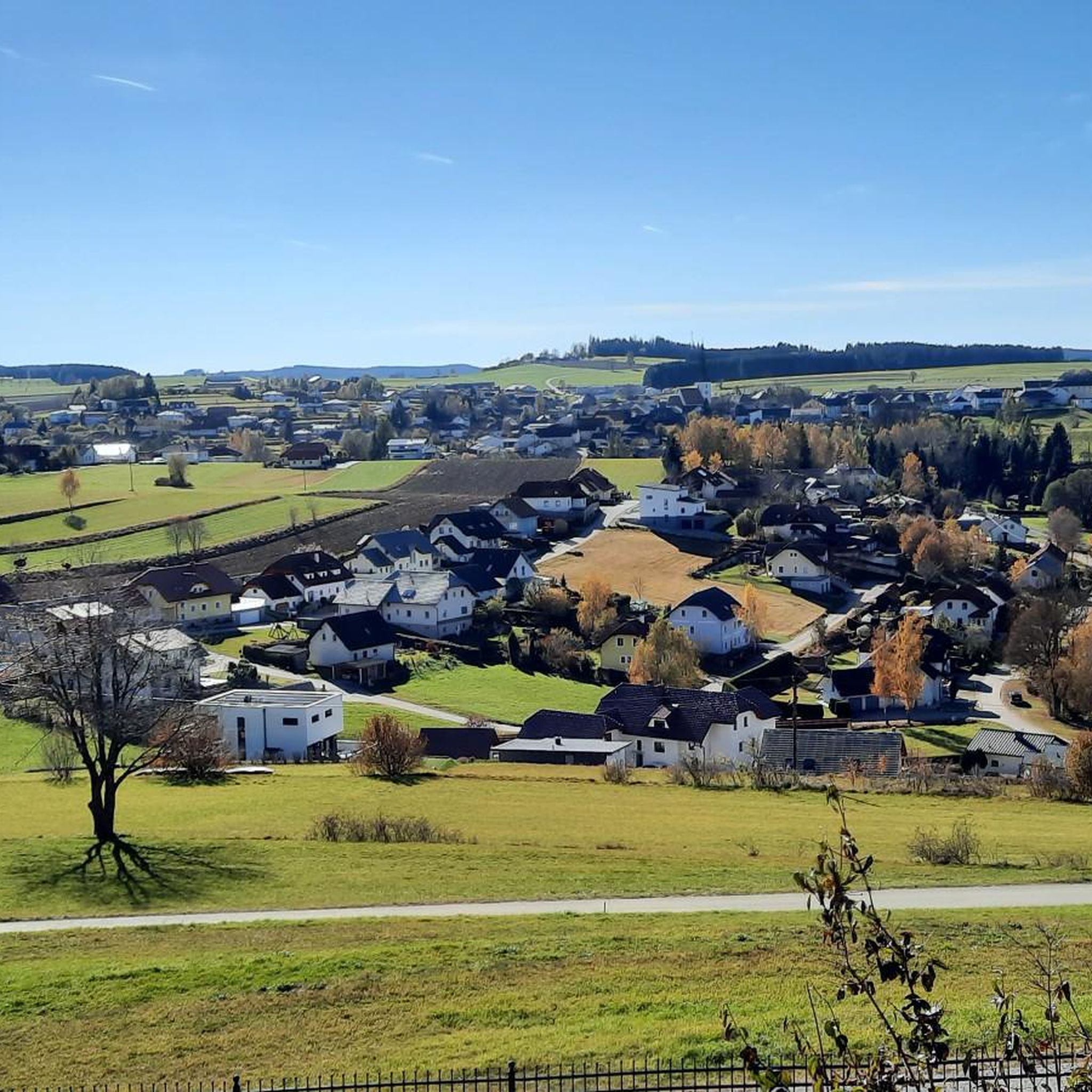
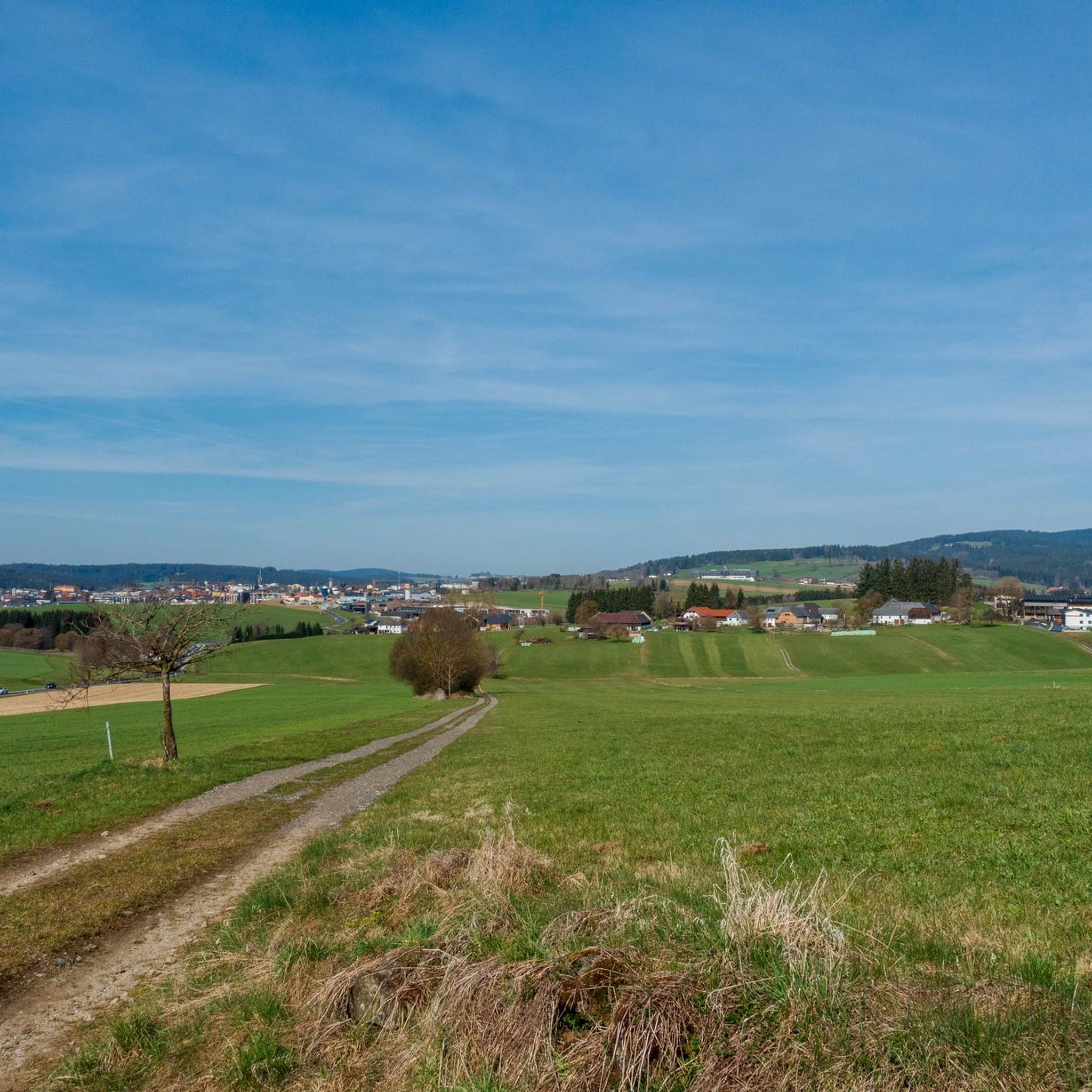
Jogging around Schenkenfelden offers a variety of routes through a landscape characterized by rolling hills and wooded areas. The region features diverse terrain, from gentle paths near springs to more challenging ascents towards observation points. These running routes provide opportunities to explore the natural environment and local landmarks.
Best jogging routes around Schenkenfelden
- The most popular jogging route is Running loop from Schenkenfelden, a 5.5 miles (8.8 km) trail that takes about 56 minutes to complete. This moderate route…
Last updated: July 2, 2026
45
runners
8.77km
00:56
130m
130m
Moderate run. Good fitness required. Mostly paved surfaces. Suitable for all skill levels.
6
runners
8.10km
00:51
60m
60m
Moderate run. Good fitness required. Mostly paved surfaces. Suitable for all skill levels.

Sign up for free
6
runners
12.8km
01:27
280m
280m
Moderate run. Good fitness required. Mostly paved surfaces. Suitable for all skill levels.
4
runners
Hard run. Very good fitness required. Mostly paved surfaces. Suitable for all skill levels.
4
runners
Hard run. Very good fitness required. Mostly paved surfaces. Suitable for all skill levels.
Get access to more routes and recommendations from other explorers.
Sign up for free
Already have an account?
Our route recommendations are based on thousands of hikes, rides, and runs completed by other people on komoot.
Start today with a free account
Your next adventure awaits.
Login or Signup
Tips from the Community

The source is easily accessible from both sides with an MTB, with a normal bike it's better to ride up from below - it's also rooty up top.
0
0

The town hall stands at the western end of the main square, northeast of the parish church in the town of Bad Leonfelden in the Mühlviertel region.
0
0

The Gusenursprung belongs to the municipality of Hirschbach im Mühlkreis and the district of Freistadt. It was also established by the Hirschbach Beautification Association in 2005 and is also maintained by the Hirschbach Association.
0
0

Café Kastner in the center is known for the best pastries in the entire Mühlviertel. Beautiful town center. But the whole place is designed for cars and is flooded accordingly.
2
0

"Homeland" Home is home If you don't have to leave then stay Because home is more important than the second mother's body (Franz Stelzhamer 1802-1874)
2
0
The Sternstein is 1125 m high and is located in the municipality of Vorderweißenbach. It is the highest elevation in the central Mühlviertel. The Sternsteinwarte, built in 1899, invites you to take a panoramic view from Bohemia to the Alps.
4
0

Many paths lead to the Sternstein.
3
0

Frequently Asked Questions
How many running routes can I find around Schenkenfelden?
Schenkenfelden offers a diverse network of over 30 running routes, catering to various preferences and fitness levels. These trails explore the region's rolling hills, wooded areas, and natural springs.
Are there any easy or beginner-friendly jogging trails in Schenkenfelden?
While most routes in Schenkenfelden are classified as moderate, many offer gentle paths suitable for beginners. These trails often feature less elevation gain and well-maintained surfaces, providing a good introduction to running in the area. You can find routes that are shorter in distance and duration to ease into the local terrain.
What kind of terrain can I expect on the jogging routes near Schenkenfelden?
The running routes around Schenkenfelden are characterized by a mix of rolling hills, dense wooded sections, and paths alongside natural springs. You'll encounter varied landscapes, from open fields to shaded forest trails, with some routes featuring more challenging ascents towards observation points.
Are there any circular running paths in Schenkenfelden?
Yes, many of the running routes in Schenkenfelden are circular, allowing you to start and finish at the same point. For example, the Pannholz loop from Schenkenfelden is a popular moderate 5.0-mile (8.1 km) circular path that takes you through a mix of forest and open terrain.
What do other runners enjoy most about the trails in Schenkenfelden?
The running trails in Schenkenfelden are highly rated by the komoot community, with an average score of 4.6 stars from over 50 reviews. Runners often praise the varied terrain, the natural beauty of the wooded sections and springs, and the well-maintained paths that offer a rewarding outdoor experience.
Are there any jogging routes that pass by scenic viewpoints or attractions?
Absolutely! Several routes offer opportunities to see local landmarks and enjoy scenic views. For instance, the challenging Sternstein Observation Tower loop from Schenkenfelden leads you towards the Sternstein Observation Tower, offering panoramic vistas. You might also encounter the European Watershed Monument Mühlviertel on some trails.
Can I bring my dog on the running trails in Schenkenfelden?
Most outdoor trails in the Schenkenfelden region are dog-friendly, making it a great place to run with your canine companion. However, it's always recommended to keep your dog on a leash, especially in wooded areas or near wildlife, and to check for any specific local regulations along your chosen route.
Are there any long-distance running options for experienced runners?
Yes, for experienced runners seeking a challenge, Schenkenfelden offers several longer and more difficult routes. The Franz Stelzhamer Monument – Kampelbühel loop from Schenkenfelden is a difficult 14.0-mile (22.5 km) trail with significant elevation gain, perfect for a longer endurance run.
What is the best time of year for running in Schenkenfelden?
Schenkenfelden is enjoyable for running throughout much of the year. Spring and autumn offer pleasant temperatures and beautiful scenery with blooming flowers or vibrant foliage. Summer mornings and evenings are also ideal to avoid the midday heat. Winter running is possible, but be prepared for potentially snowy or icy conditions on some trails.
Are there any running routes that pass by natural springs or water features?
Yes, the region is known for its natural springs. The Gusen Spring loop from Schenkenfelden is a notable 7.9-mile (12.8 km) trail that specifically leads through varied landscapes including the Gusen Spring, offering a refreshing experience.
Are there places to eat or drink near the running routes in Schenkenfelden?
While specific cafes directly on every trail might be limited, the town of Schenkenfelden and nearby villages offer options for refreshments. Some longer routes might pass close to establishments like Pelmbergstüberl, where you can refuel after your run. It's always a good idea to check opening hours in advance.
How can I find parking near the running trails?
Many running routes in Schenkenfelden start from accessible points within the town or at designated trailheads, where parking is typically available. For routes starting directly from Schenkenfelden, you can usually find public parking options. For specific trailheads, checking the route details on komoot will often provide information on nearby parking facilities.
Most popular routes around Schenkenfelden
Most popular attractions around Schenkenfelden

Get inspired with the komoot mobile app


Explore more
Browse the best Running Trails & Routes in other regions.
