Upper and Lower Shuckburgh CP
Upper and Lower Shuckburgh CP
The best walks and hikes around Upper and Lower Shuckburgh CP
4.5
(391)
3,222
hikers
254
hikes
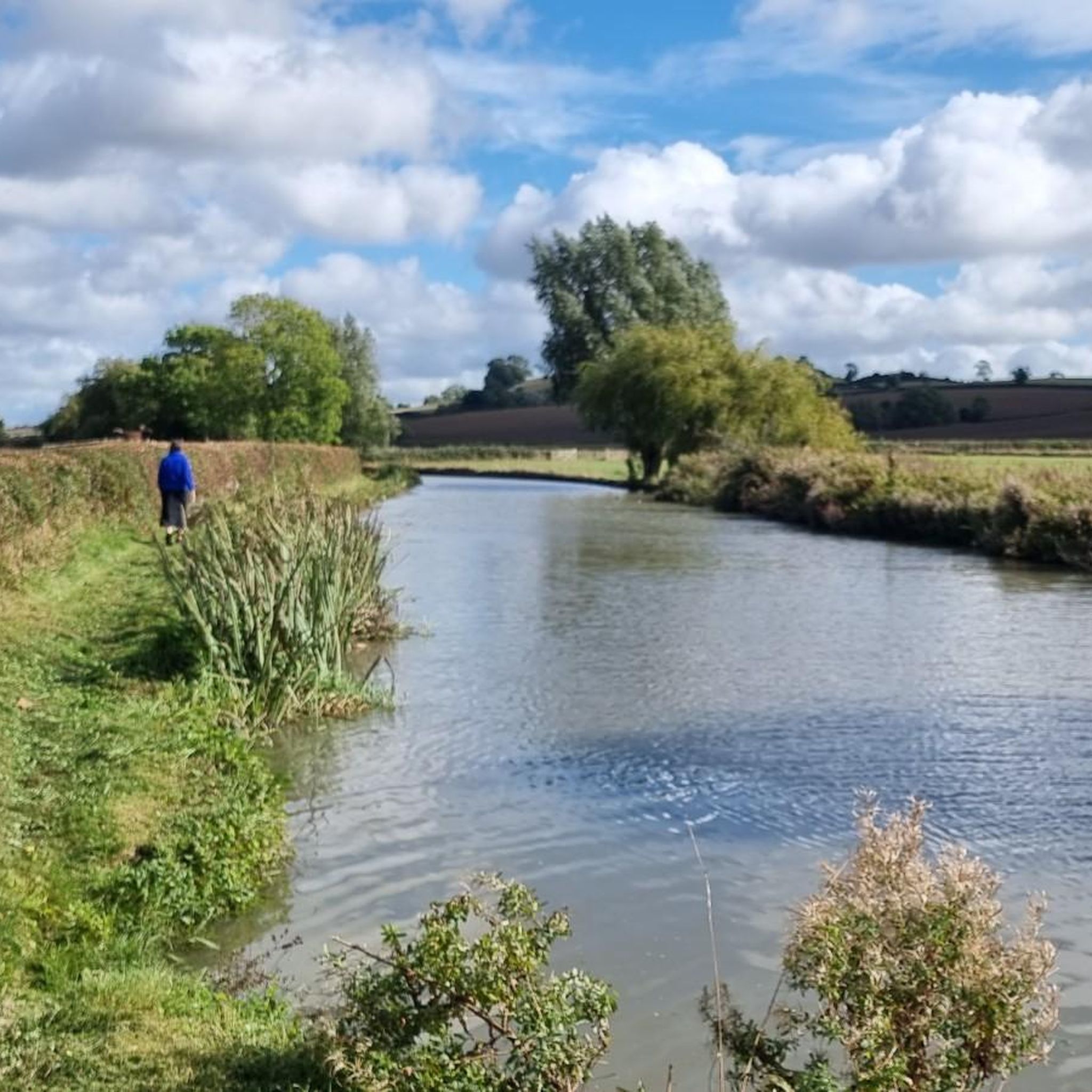
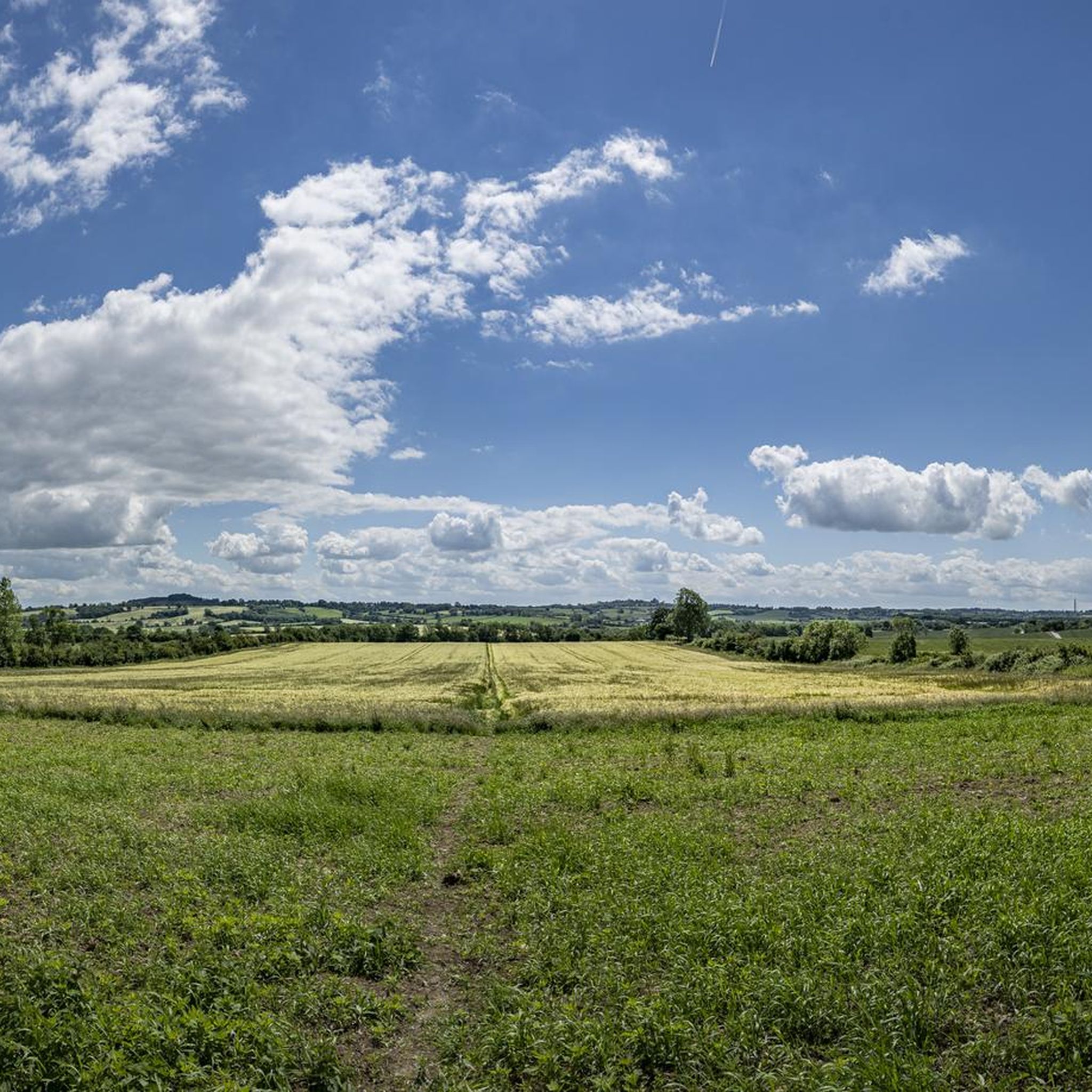
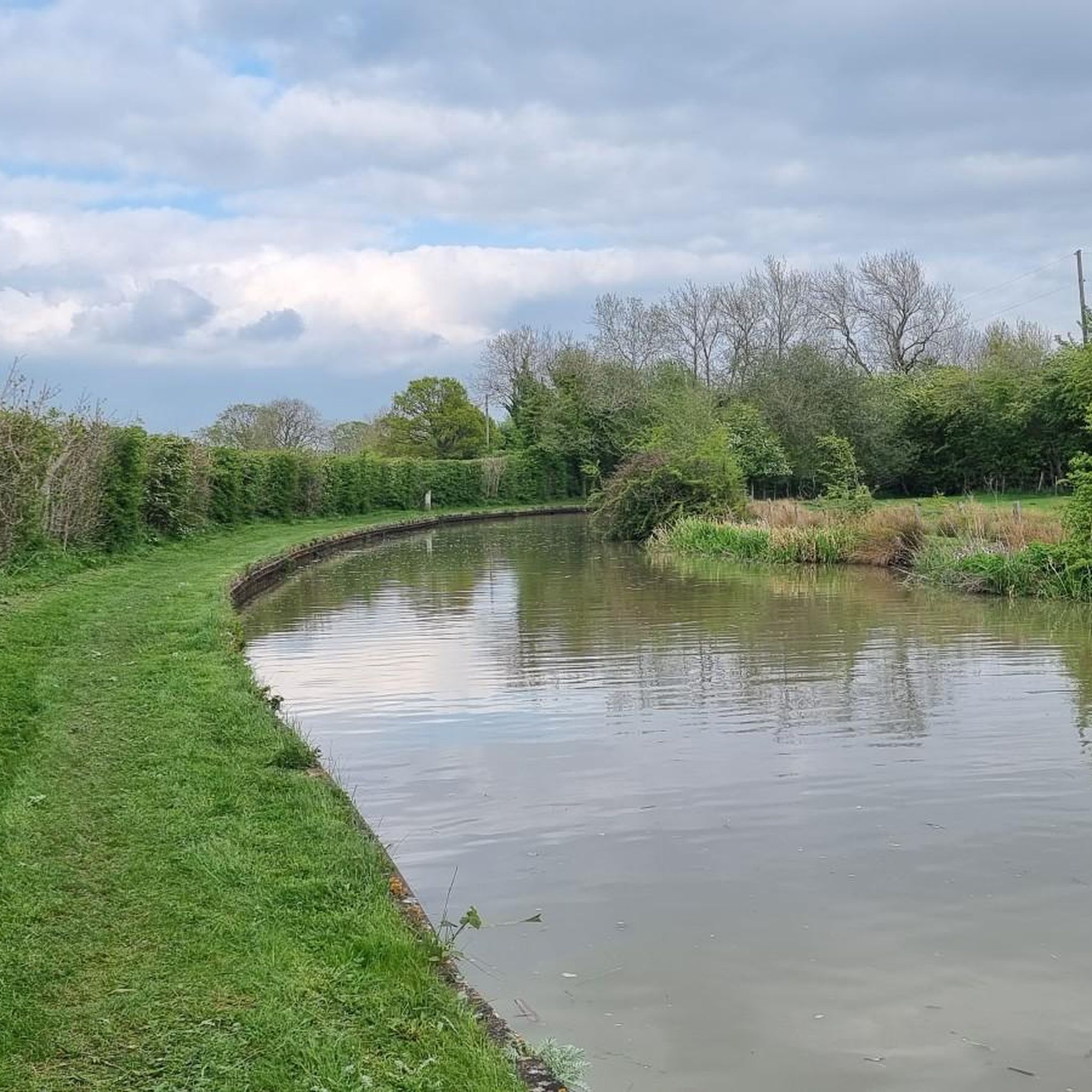
Hikes around Upper and Lower Shuckburgh CP explore the Warwickshire countryside, defined by rolling hills, woodlands, and open meadows. The landscape features gentle slopes, with Beacon Hill as a prominent local high point offering wider views. Many walking routes also follow sections of the Oxford and Grand Union canals, providing flat paths along the historic waterways.
Best hiking trails around Upper and Lower Shuckburgh CP
- The most popular hiking route is Napton Junction – Napton Junction Marina loop from Weedon…
Last updated: July 6, 2026
5.0
(4)
32
hikers
Moderate hike. Good fitness required. Easily-accessible paths. Suitable for all skill levels.
4.0
(5)
14
hikers
Easy hike. Great for any fitness level. Easily-accessible paths. Suitable for all skill levels.

Sign up for free
4.8
(4)
17
hikers
13.6km
03:37
140m
140m
Moderate hike. Good fitness required. Easily-accessible paths. Suitable for all skill levels.
5.0
(3)
22
hikers
12.2km
03:19
170m
170m
Moderate hike. Good fitness required. Easily-accessible paths. Suitable for all skill levels.
5.0
(4)
18
hikers
Moderate hike. Good fitness required. Easily-accessible paths. Suitable for all skill levels.
Get access to more routes and recommendations from other explorers.
Sign up for free
Already have an account?
Our route recommendations are based on thousands of hikes, rides, and runs completed by other people on komoot.
Start today with a free account
Your next adventure awaits.
Login or Signup
Tips from the Community


....an honour shared with The Red Lion at Hellidon, both a lofty 172m by my reckoning
0
0

Built in the late 19th century, the 12-arch Catesby Viaduct is a glorious sight on this stretch of trail between Hellidon and Staverton. Today disused, Its eastern face is mostly still intact, though its western face is crumbling away due to encroaching tree growth.
0
0
Built on an ironstone ridge above pretty Northamptonshire countryside, Helidon is a picturesque village. Notable buildings include its lovely, 13th-century parish church and its converted tower mill, which stands proud on Windmill Hill at 670 feet (200 m) above sea level. For walkers completing the Jurassic Way long-distance footpath, there's the option of the Red Lion for both food and accommodation. The nearby Hellidon Lakes are also worth exploring.
0
0


Napton Bridge No 110 is a minor waterways place on the Oxford Canal (Southern Section - Main Line) between Old Engine House Arm Junction (2 miles and 5¾ furlongs and 7 locks to the south) and Napton Junction (Junction of Grand Union and Oxford Canals) (3¾ furlongs to the east). The nearest place in the direction of Old Engine House Arm Junction is Bridge Inn Winding Hole; 3 furlongs away. The nearest place in the direction of Napton Junction is Coventry Road Bridge No 109; ¾ furlongs away.
0
0
Napton Bridge No 111 is a place on the waterways on the Oxford Canal (Southern Section - Main Line) between Old Engine House Arm Junction (2 miles and 2½ furlongs and 7 locks to the south) and Napton Junction (Junction of Grand Union and Oxford Canals) (7 furlongs to the east). The nearest place in the direction of Old Engine House Arm Junction is Napton Brickyard Bridge No 112; 3½ furlongs away. The nearest place in the direction of Napton Junction is The Bridge PH (Napton) (Closed May 2016); a few yards away.
0
0
Frequently Asked Questions
What is the terrain like for hiking around Upper and Lower Shuckburgh?
The landscape is characterized by quintessential English countryside with rolling hills, open meadows, and lush woodlands. The most prominent feature is Beacon Hill, which offers panoramic views. Many trails also follow the flat, easy-going towpaths of the Oxford and Grand Union canals.
Are there many circular walks available?
Yes, circular loops are very common in this area, making it easy to start and end your walk in the same place. Many routes are designed as loops, combining canal towpaths, field paths, and quiet country lanes. For a moderate circular route, consider Napton Windmill – Napton Junction loop from Napton on the Hill CP, which takes in varied scenery.
Can I find easy, family-friendly hikes?
Absolutely. The area offers numerous options for families and casual walkers. The canal towpaths are particularly suitable as they are flat and traffic-free. For a shorter, rewarding walk, the Napton Windmill – Napton Junction Marina loop from Napton on the Hill CP is an excellent choice, covering just under 3 miles with lovely views.
Are the trails suitable for walking with a dog?
Most trails in the countryside are great for dogs, offering plenty of open space. However, you will likely cross fields with livestock, so it's essential to keep your dog on a lead in these areas. Also be mindful of canal towpaths, which can be shared with cyclists and other walkers.
What are the best viewpoints in the Shuckburgh area?
For the most expansive views, a climb to the summit of Beacon Hill is highly recommended. From the top, you're rewarded with a panoramic vista of the surrounding Warwickshire patchwork of fields and woodlands. Many routes in the area are planned to incorporate this viewpoint.
What's special about the canal walks near Shuckburgh?
The walks along the Oxford and Grand Union canals offer a unique perspective on the region's industrial heritage. The towpaths are flat and provide charming scenery of narrowboats, historic locks, and waterside wildlife. The area around Napton Junction, where the two canals meet, is a particular highlight for canal enthusiasts.
Are there pubs or cafes along the walking routes?
Yes, many routes, especially those starting or passing through villages like Napton-on-the-Hill or Braunston, feature traditional countryside pubs. These are often located canal-side and make for a perfect stop for lunch or a drink. The The Boathouse, Braunston loop from Flecknoe is a trail that passes near well-known waterside pubs.
Where can I park for hikes in the Shuckburgh area?
Parking is typically found in the villages that serve as trailheads, such as Napton-on-the-Hill or Staverton. Some routes may start from designated lay-bys or small car parks near local landmarks. It's always best to check the starting point of your chosen route on komoot for specific parking suggestions and arrive early on weekends.
Are there any historical sites to see while hiking?
The area is rich in history. On your walks, you can see landmarks like the restored Napton Windmill, the historic St. John the Baptist Church, and the impressive Catesby Viaduct, which is a feature on the View of Catesby Viaduct – Hellidon Village loop from Staverton. The deserted medieval village of Upper Shuckburgh on Beacon Hill also offers a glimpse into the past.
Do any long-distance footpaths pass through the area?
Yes, the Millennium Way, a 100-mile long-distance trail, traverses this part of Warwickshire. You can walk sections of this well-marked path as part of a shorter circular route, allowing you to experience a part of this major regional trail.
What do other hikers enjoy most about this region?
The area is highly rated by the komoot community, with an average score of 4.7 stars. Reviewers often praise the peaceful blend of rolling hills and serene canal-side paths. The variety of the landscape, from hilltop views to quiet woodlands, is frequently mentioned as a major highlight.
How many hiking trails are there around Upper and Lower Shuckburgh?
There are over 270 hiking routes to explore in the region. They range from short, easy strolls to more challenging moderate-length hikes, with the majority being easy or moderate. This means there's a suitable trail for almost every fitness level and preference.
Most popular routes around Upper and Lower Shuckburgh CP
Most popular attractions around Upper and Lower Shuckburgh CP

Get inspired with the komoot mobile app


Explore more
Browse the best Hikes in other regions.
