The best mountain hikes around Steinbach am Ziehberg
4.7
(108)
1,574
hikers
42
hikes
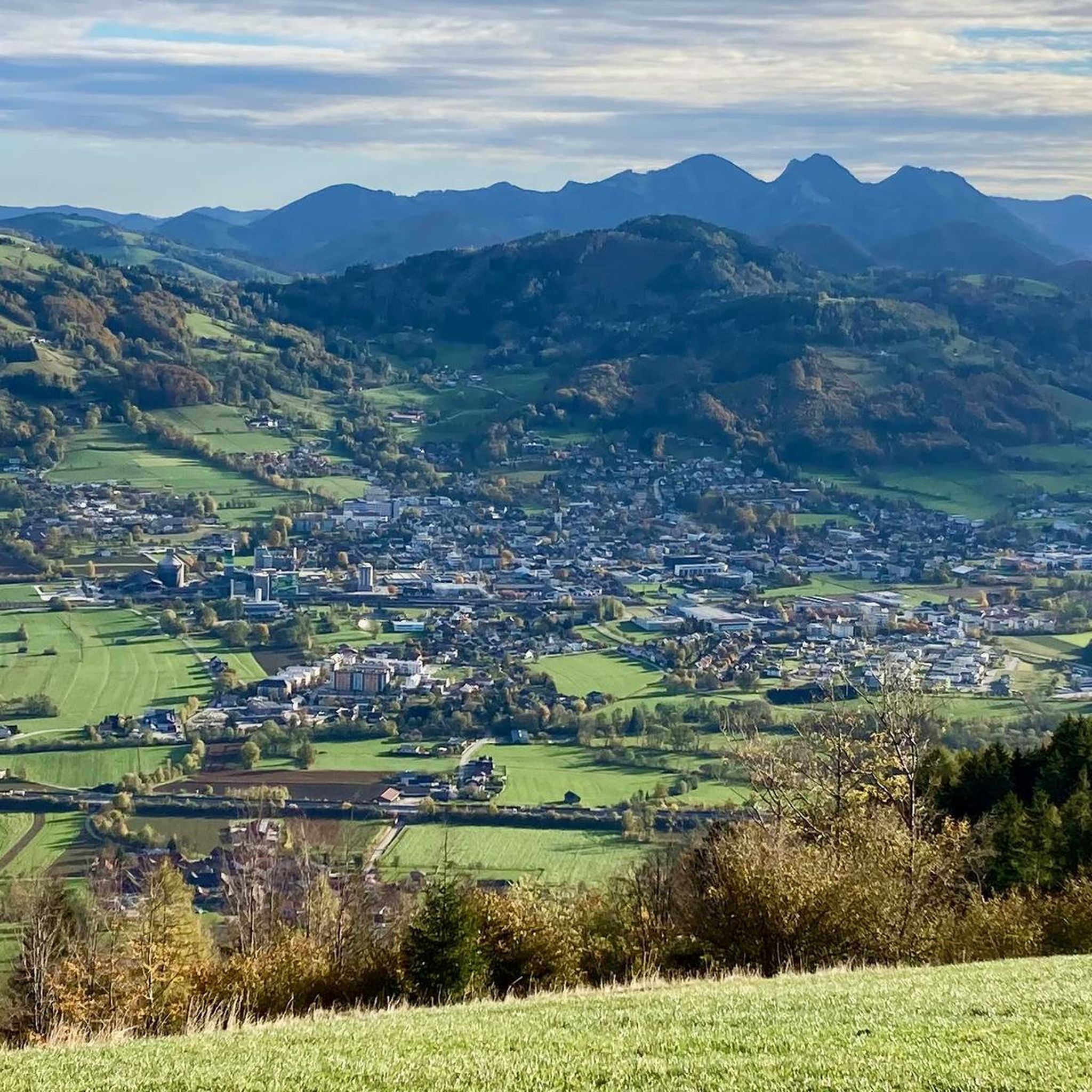
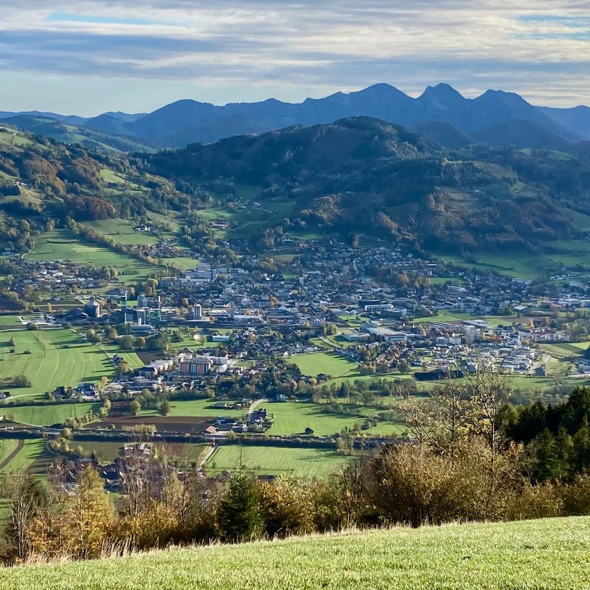
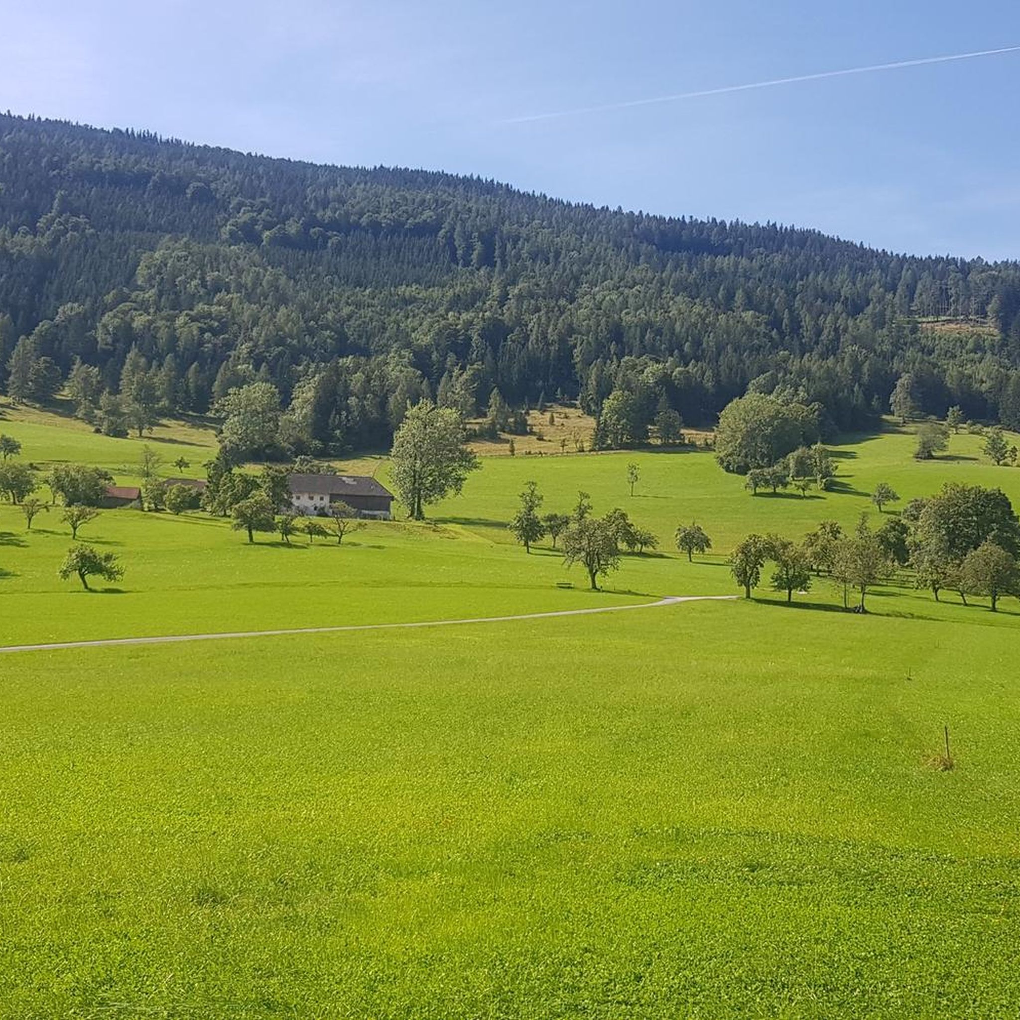
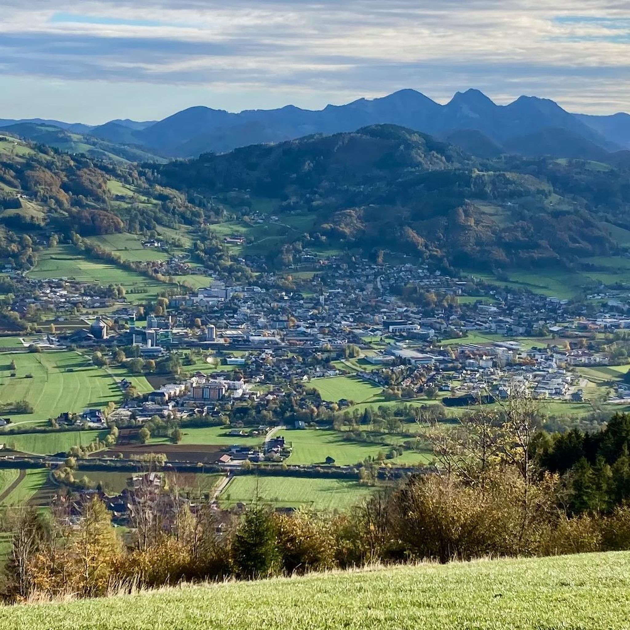
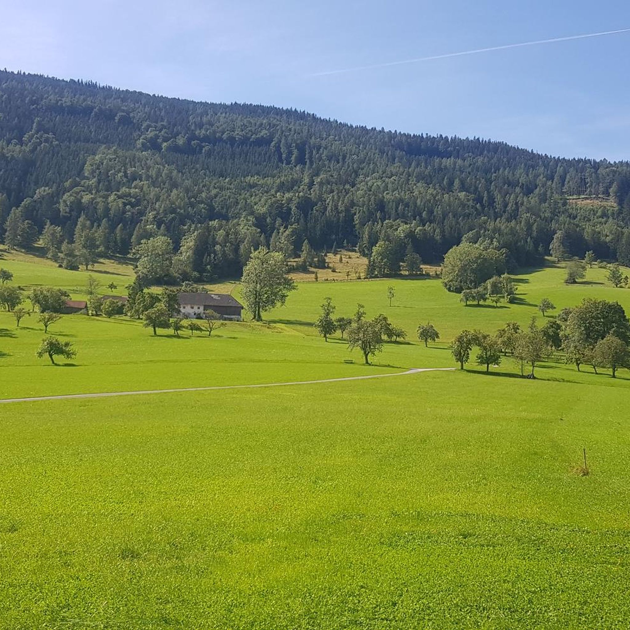
Mountaineering routes around Steinbach am Ziehberg are situated in the Almtal valley within the Austrian Alps, characterized by impressive mountains and dense forests. The region features a diverse landscape with peaks such as Großer Priel, Hochsalm, Mittagstein, and Beilstein, offering varied terrain for mountaineering. These routes often provide panoramic views of the surrounding mountain landscape and pre-Alpine regions. The area also includes natural features like waterfalls and the picturesque Gleinkersee.
Best mountaineering routes around Steinbach am Ziehberg
- The most popular mountaineering route is Pfannstein Summit Cross loop from Ziehberg, a 6.9 miles (11.1 km) trail that takes 4 hours 14 minutes to complete. This moderate route leads to the Pfannstein Summit Cross, offering expansive views.
- Another top favourite among local mountaineers is Hochsalm – Hutkogel loop from Scharnstein, a moderate 4.8 miles (7.7 km) path. This loop explores the Hochsalm and Hutkogel peaks, providing diverse mountain scenery.
- Local mountaineers also love the Franz Lindinger Bridge loop from Scharnstein, a 5.0 miles (8.0 km) trail leading through varied mountain terrain, often completed in about 3 hours 30 minutes.
- Mountaineering around Steinbach am Ziehberg is defined by impressive mountains, dense forests, and panoramic summit views. The network offers options for various ability levels, from moderate ascents to more challenging alpine tours.
- The routes in Steinbach am Ziehberg are highly rated by the komoot community with an average score of 4.7 stars from over 90 reviews. More than 1,700 mountaineers have used komoot to explore Steinbach am Ziehberg's varied terrain.
Last updated: July 1, 2026
4.8
(8)
107
hikers
11.3km
04:17
710m
710m
Moderate mountaineering route. Good fitness required. Mostly accessible paths. Sure-footedness required.
4.6
(5)
78
hikers
7.69km
03:47
590m
590m
Moderate mountaineering route. Good fitness required. Mostly accessible paths. Sure-footedness required.

Sign up for free
5.0
(2)
66
hikers
7.97km
03:30
620m
620m
Hard mountaineering route. Good fitness required. Sure-footedness, sturdy shoes and alpine experience required.
56
hikers
8.66km
04:13
800m
800m
Moderate mountaineering route. Good fitness required. Mostly accessible paths. Sure-footedness required.
4.5
(2)
54
hikers
8.54km
04:17
640m
640m
Moderate mountaineering route. Good fitness required. Mostly accessible paths. Sure-footedness required.
Get access to more routes and recommendations from other explorers.
Sign up for free
Already have an account?
Our route recommendations are based on thousands of hikes, rides, and runs completed by other people on komoot.
Start today with a free account
Your next adventure awaits.
Login or Signup

Tips from the Community

The summit stone is reached via a very steep path with faint traces of a trail.
0
0

The Gradnalm lies at the foot of the rugged ridge of the Kremsmauer
3
0

Small hill with a beautiful view towards Ziehberg. Suitable for children.
0
0

On the way to Hochsalm you absolutely have to climb the Hutkogel. Beautiful little mountain with a view.
0
0

Worthwhile climb with wonderful views.
0
0
There has been a new summit cross on the Hochsalm since 2023
6
0

Easy to reach summit, good shoes recommended.
0
0
Frequently Asked Questions
How many mountaineering routes are available in Steinbach am Ziehberg?
There are over 45 mountaineering routes around Steinbach am Ziehberg, offering a wide range of options for various skill levels. This includes 2 easy, 16 moderate, and 27 difficult routes.
What is the best time of year for mountaineering in Steinbach am Ziehberg?
The best seasons for mountaineering in Steinbach am Ziehberg are spring, summer, and autumn. During these times, the weather is generally mild, and nature is in full bloom, providing ideal conditions for exploring the diverse landscapes. While winter can make some trails challenging due to snow, the other seasons offer ample opportunities.
Are there any family-friendly mountaineering routes in the area?
While many routes are geared towards more experienced mountaineers, there are options suitable for families. For a more relaxed experience, the picturesque Gleinkersee offers an easy circular walk, perfect for families to enjoy the scenery and picnic spots. For a moderate mountaineering experience, consider the Wolfswiesen hut – Mittagstein summit loop from Steinbach am Ziehberg, which offers rewarding views.
What kind of terrain can I expect on the mountaineering routes?
The terrain around Steinbach am Ziehberg is diverse, ranging from well-marked hiking paths to more challenging alpine sections. You can expect impressive mountains, dense forests, and routes that sometimes involve ridge walks or small climbing sections, especially on more difficult tours. Peaks like Hochsalm and Mittagstein offer magnificent 360-degree panoramic views, while others like Beilstein require sure footing for the final ascent.
Are there any waterfalls to see along the routes?
Yes, the region is known for its impressive waterfalls. You can explore a dedicated waterfall trail to admire several cascades amidst dense forests. Specific highlights include the Rinnerberger Waterfall and the Rinderberger Klamm-Schmiedlehen Waterfall, which can be incorporated into your mountaineering adventures.
Can I find circular mountaineering routes in Steinbach am Ziehberg?
Yes, there are several excellent circular routes available. A popular choice is the Pfannstein Summit Cross loop from Ziehberg, a moderate 6.9-mile trail offering expansive views. Another great option is the Hochsalm – Hutkogel loop from Scharnstein, which explores diverse mountain scenery.
What notable peaks can be reached on these mountaineering tours?
The region offers access to several prominent peaks. You can reach the Hochsalm Summit, known for its panoramic views, or the Summit of Zwillingskogel. Other accessible summits include Steineck and Maisenkögerl Summit, each offering unique perspectives of the Almtal valley.
Are there opportunities for rock climbing in Steinbach am Ziehberg?
Yes, for those interested in rock climbing, the area offers specific opportunities. The "Ziehbergfelsen" is a notable location that provides various difficulty levels for sport climbing, catering to both beginners and experienced climbers.
What do other mountaineers say about the routes in Steinbach am Ziehberg?
The mountaineering routes in Steinbach am Ziehberg are highly rated by the komoot community, with an average score of 4.7 stars from over 90 reviews. Mountaineers often praise the diverse mountain scenery, the rewarding panoramic views from the summits, and the variety of trails suitable for different ability levels.
Are there any historical landmarks or attractions to visit while mountaineering?
Yes, you can combine your mountaineering trips with visits to historical sites. The Ruins of Scharnstein Castle and the Chapel on the Rock are notable attractions that can be incorporated into hiking routes, adding a cultural dimension to your outdoor excursions.
Are there any challenging mountaineering routes for experienced climbers?
Absolutely. Steinbach am Ziehberg offers 27 difficult routes for experienced mountaineers seeking a challenge. These routes often involve more demanding ascents, varied mountain terrain, and sometimes small climbing sections. An example of a difficult route is the Franz Lindinger Bridge loop from Scharnstein, which leads through varied mountain terrain.
Is public transport available to access the mountaineering trails?
The region is generally accessible, but specific public transport connections to trailheads can vary. It's advisable to check local bus schedules or train connections to nearby towns like Scharnstein, which serves as a starting point for several tours, and then plan your onward journey to the specific trailheads.
Most popular routes around Steinbach am Ziehberg
Most popular attractions around Steinbach am Ziehberg

Get inspired with the komoot mobile app


Explore more
Browse the best Mountain Hikes & Routes in other regions.
