The best walks and hikes around Sampford Brett
4.5
(574)
3,627
hikers
282
hikes
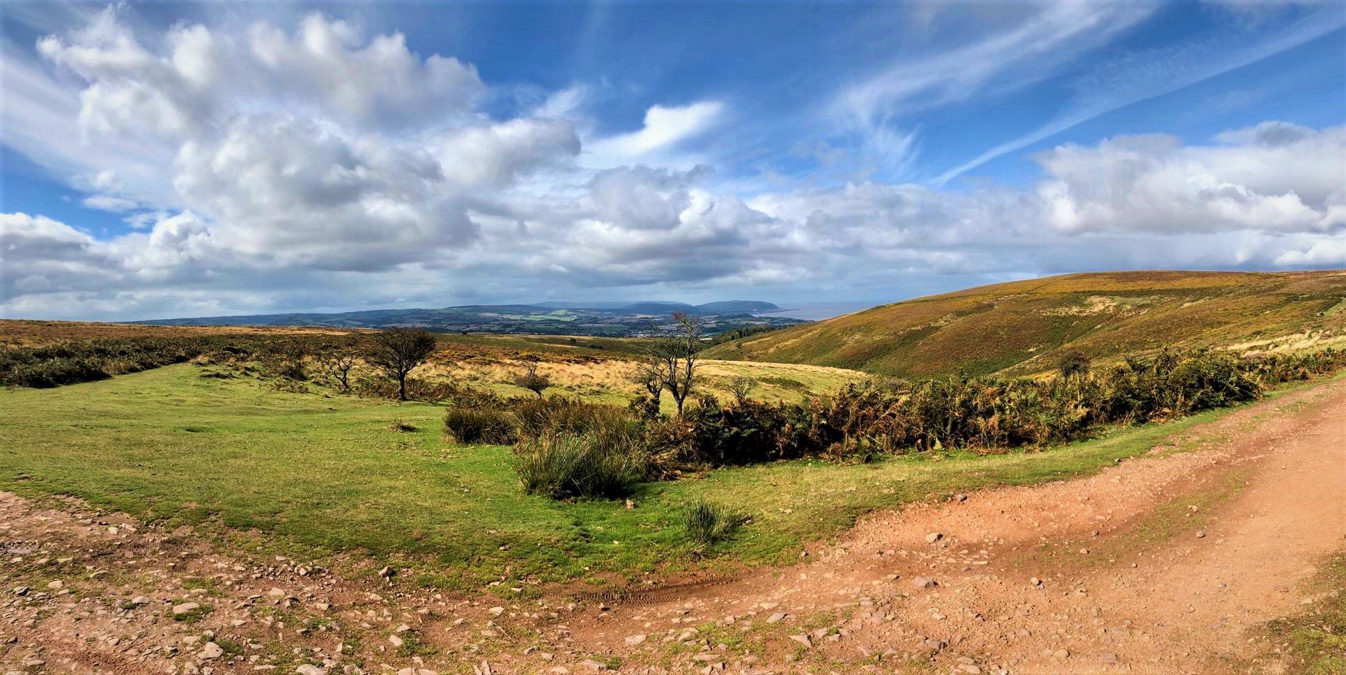
Hikes around Sampford Brett explore the western edge of the Quantock Hills Area of Outstanding Natural Beauty. The region's terrain is characterized by rolling hills, deep wooded valleys known as combes, and paths that cross through quiet hamlets. Its proximity to the coast also provides access to sections of the England Coast Path, offering a variety of landscapes for all abilities.
Best hiking trails around Sampford Brett
- The most popular hiking route is Bicknoller Post – Bicknoller Post loop from Bicknoller, a 5.3 mile (8.5 km) trail that takes about 2 hours 35 minutes to complete. This moderate hike includes an ascent to Bicknoller Post within the Quantock Hills.
- Another top favourite among local hiking enthusiasts is Monksilver and Nettlecombe loop from Woodford — Exmoor National Park, an easy 4.0 mile (6.4 km) path. The route follows trails through fields and woodland near the edge of Exmoor National Park.
- Local hiking enthusiasts also love the Bicknoller Combe – Trendle Ring loop from Bicknoller, a 2.4 mile (3.9 km) trail leading through the wooded Bicknoller Combe, often completed in about 1 hour 20 minutes.
- Hiking around Sampford Brett is defined by rolling hills, ancient woodlands, and quiet country lanes. The network of trails provides a range of circular walks near Sampford Brett suitable for different fitness levels.
- The routes in Sampford Brett are highly rated by the komoot community with an average score of 4.5 stars from more than 480 reviews. More than 3,500 hikers have used komoot to explore Sampford Brett's varied terrain.
Last updated: October 13, 2026
4.0
(1)
8
hikers
6.39km
01:58
210m
210m
Hike the easy 4.0-mile Coleridge Way: Monksilver and Nettlecombe Loop through Exmoor National Park, featuring historic churches and scenic w
5.0
(4)
20
hikers
8.69km
02:37
280m
280m
Moderate hike. Good fitness required. Easily-accessible paths. Suitable for all skill levels.

5.0
(1)
7
hikers
Easy hike. Great for any fitness level. Easily-accessible paths. Suitable for all skill levels.
5.0
(1)
7
hikers
12.7km
03:49
390m
390m
Moderate hike. Good fitness required. Easily-accessible paths. Suitable for all skill levels.
5.0
(1)
5
hikers
8.52km
02:15
80m
80m
Moderate hike. Good fitness required. Easily-accessible paths. Suitable for all skill levels.
Get access to more routes and recommendations from other explorers.
Already have an account?
Our route recommendations are based on thousands of hikes, rides, and runs completed by other people on komoot.
Start today with a free account
Your next adventure awaits.


Other adventures around Sampford Brett

Tips from the Community

Amazing views of rolling hills. Steep climb up/down stairs directly from carpark
1
0

There's a carpark and community shop here. Parking is a £1 donation for the upkeep of village rec and playground.
1
0
Steep in places, sturdy footwear is recommended
0
0

Dunkery Beacon at the summit of Dunkery Hill is the highest point on Exmoor and in Somerset, England. It is also the highest point in southern England outside of Dartmoor. The sandstone hill rises to 519 metres and provides views over the surrounding moorland, the Bristol Channel, and hills up to 86 miles away.
1
1

Bicknoller Post offers the runner a perfect resting spot high up in the Quantocks where you can enjoy uninterrupted views across the Bristol Channel and toward South Wales.
1
0
This is a stunning section of walking through jaw dropping hilly landscapes along the beautiful Bicknoller Combe stream.
3
0
Frequently Asked Questions
How many hiking trails are there around Sampford Brett?
There are nearly 300 trails to explore around Sampford Brett. The selection is well-balanced, with over 130 easy routes suitable for casual walks, around 140 moderate hikes for those seeking more of a challenge, and a smaller number of difficult trails for experienced hikers.
What do other hikers think of the trails in this region?
The trails around Sampford Brett are highly regarded by the komoot community, which has given the area an average rating of 4.5 stars. Hikers often praise the mix of rolling hills, quiet wooded combes, and the beautiful scenery within the Quantock Hills AONB.
Are there any good circular walks that start near the village?
Yes, the area is excellent for circular hikes. Many routes begin right from Sampford Brett or nearby villages. A great example is the St Mary's Church, Nettlecombe – All Saints Church, Monksilver loop from Monksilver, an easy 3.3-mile (5.4 km) walk that takes you through charming local countryside and past historic churches.
Can I bring my dog on hikes in the Quantock Hills?
The Quantock Hills are generally very dog-friendly, with many trails passing through open heathland and woodland. However, it's important to keep your dog under control, especially near livestock and during bird nesting season. The area is home to red deer and Exmoor ponies, so always be mindful of wildlife.
What are the best spots for scenic views in the Quantock Hills?
For some of the most expansive views, a hike to Wills Neck is highly recommended. As the highest point in the Quantocks, on a clear day it offers breathtaking 360-degree panoramas across Somerset, with views stretching towards Dartmoor, Exmoor, and the Mendips. It's a popular and rewarding climb for hikers.
Are there any family-friendly walks suitable for children?
Absolutely. The region offers many shorter, less strenuous routes perfect for a family outing. A great choice is the Bicknoller Combe – Trendle Ring loop from Bicknoller. It's a relatively short 2.4-mile (3.9 km) walk through a magical wooded valley, which is often a hit with younger walkers.
Can I find any pub walks in the area?
Yes, combining a good walk with a pub stop is a popular activity here. Many trails pass through or near villages with traditional pubs. For a longer walk that earns you a rest, consider the All Saints Church, Monksilver – St Mary's Church, Nettlecombe loop from Monksilver, which is a moderate 7.9-mile (12.7 km) route. The village of Monksilver has a pub that makes for a perfect start or end point.
Where is a good place to park for walks in the Quantock Hills?
There are several car parks that serve as excellent starting points for Quantock Hills hikes. For accessing Wills Neck, the car park at Triscombe Stone is a popular option. For walks around Bicknoller Combe, there is parking available in the village of Bicknoller. Always arrive early on weekends as spaces can fill up.
Are there any coastal walks or trails with waterfalls?
Yes, the nearby coast offers some dramatic scenery. A walk along the England Coast Path near Kilve lets you explore the Jurassic Coast, known for its fascinating geology and fossils. For a waterfall, a hike to St Audries Bay is a must, where you'll find a unique waterfall cascading directly onto the beach.
What is the Coleridge Way and can I walk a section of it?
The Coleridge Way is a 51-mile long-distance trail inspired by the poet Samuel Taylor Coleridge, passing through the Quantocks, Brendon Hills, and Exmoor. You can easily walk sections of it. The trail is well-marked with a quill logo, allowing you to experience the same landscapes that inspired the Romantic poet without committing to the full route.
How long are the typical hikes in this area?
Hike durations vary widely to suit different schedules. You can find short loops of 1-2 hours, perfect for a quick outing. For a Sunday half-day walk, many moderate trails are around 2.5 to 4 hours long, covering between 5 and 8 miles. There are also longer, more challenging all-day hikes available.
Most popular attractions around Sampford Brett

Get inspired with the komoot mobile app


Explore more
Browse the best Hikes in other regions.
