The best running trails around Sarleinsbach
4.4
(174)
2,995
runners
240
runs
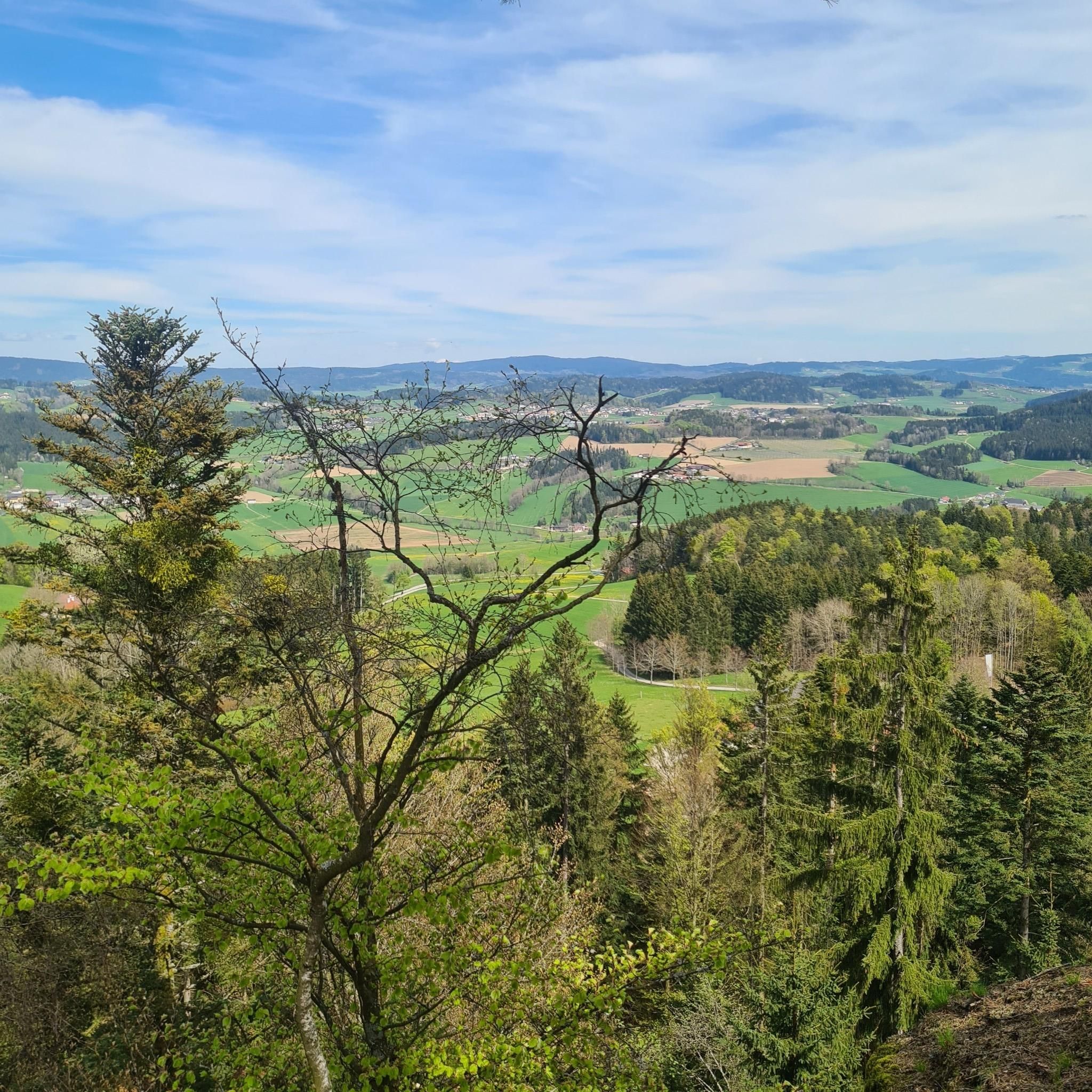
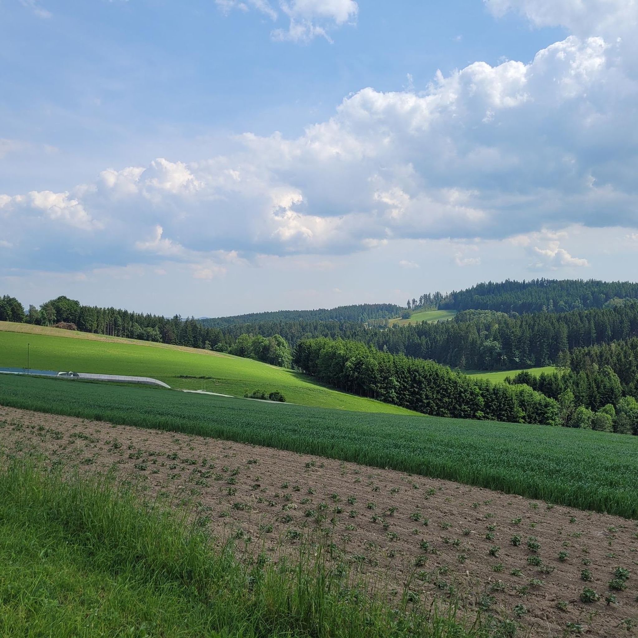
Jogging routes around Sarleinsbach traverse the granite highlands of the Bohemian Forest, providing varied terrain and scenic views. The region features a mix of wooded areas, open meadows, and elevated viewpoints. Runners can explore paths alongside the tranquil Ranna Reservoir or ascend to hills like Ameisberg for panoramic vistas. The landscape offers diverse running experiences, from gentle forest trails to more challenging ascents.
Best jogging routes around Sarleinsbach
- The most popular jogging route is Running loop from Bezirk Rohrbach,…
Last updated: July 2, 2026
5.0
(1)
25
runners
7.75km
00:51
130m
130m
Moderate run. Good fitness required. Mostly paved surfaces. Suitable for all skill levels.
15
runners
6.05km
00:39
90m
90m
Moderate run. Good fitness required. Mostly paved surfaces. Suitable for all skill levels.

Sign up for free
5.0
(1)
12
runners
5.78km
00:38
110m
110m
Moderate run. Good fitness required. Mostly paved surfaces. Suitable for all skill levels.
9
runners
12.3km
01:20
210m
210m
Moderate run. Good fitness required. Mostly paved surfaces. Suitable for all skill levels.
8
runners
9.19km
01:00
180m
180m
Moderate run. Good fitness required. Mostly paved surfaces. Suitable for all skill levels.
Get access to more routes and recommendations from other explorers.
Sign up for free
Already have an account?
Our route recommendations are based on thousands of hikes, rides, and runs completed by other people on komoot.
Start today with a free account
Your next adventure awaits.
Login or Signup
Frequently Asked Questions
How many running routes are available around Sarleinsbach?
Sarleinsbach offers an extensive network of over 230 running routes. These trails cater to various fitness levels, with options ranging from easy forest paths to more challenging ascents through the granite highlands.
What kind of terrain can I expect on the jogging trails in Sarleinsbach?
The terrain around Sarleinsbach is quite varied, featuring the granite highlands of the Bohemian Forest. You'll find a mix of dense forest paths, open meadows, and elevated sections offering scenic views. Some routes, like those near the Ranna Reservoir Dam, provide flat surfaces, while others ascend hills such as the Ameisberg for more challenging runs.
Are there any circular running routes in the region?
Yes, Sarleinsbach is known for its themed and circular trails. Notable options include the 10.5 km Lebensblicke-Weg, which encourages reflection at its twelve stations, and the Ameisbergrunde, another 10.5 km loop that leads to the Ameisberg viewing tower. The Theresia-Kiesl-Weg is an 8.7 km circular trail on less-trafficked agricultural roads.
What do other runners say about the trails in Sarleinsbach?
The running routes in Sarleinsbach are highly regarded by the komoot community, holding an average rating of 4.4 stars from over 150 reviews. Runners often praise the varied terrain, the beautiful natural scenery, and the well-maintained paths that offer diverse experiences.
Are there any family-friendly jogging routes in Sarleinsbach?
Yes, there are several easy and moderate routes suitable for families. For instance, the region offers 25 easy routes that are generally less demanding, perfect for a relaxed run with children. The varied landscape ensures there are pleasant paths through meadows and forests that are not too strenuous.
Can I bring my dog on the running trails?
Many of the natural trails and forest paths around Sarleinsbach are suitable for running with dogs. It's always advisable to keep your dog on a leash, especially in areas with wildlife or near agricultural land, and to check local regulations for specific routes.
Are there routes with good viewpoints or panoramic vistas?
Absolutely. The region is rich in elevated viewpoints. The Ameisberg, at 941 meters, features the Ameisbergwarte tower, offering stunning panoramic views of Bavaria, the Bohemian Forest, and even the distant Alps. Some trails also provide scenic glimpses of the Danube Loop from higher valley sides.
What natural features can I expect to see along the running routes?
You'll encounter diverse natural beauty, including the granite highlands of the Bohemian Forest, tranquil waters of the Ranna Reservoir, and rushing streams like those along the 'Bärnlochweg'. The 'Bergkräuter-Weg' takes you through meadows full of mountain herbs, adding a sensory richness to your run.
Are there any historical landmarks or attractions near the jogging routes?
Yes, the area around Sarleinsbach features several interesting landmarks. You can explore various caves, such as the Drucker-Franzl cave or Pfaffenhaus Cave. There are also castles and ruins, including Falkenstein Castle Ruins and Sprinzenstein Castle, which can be found near some of the trails.
What is the best time of year to go jogging in Sarleinsbach?
Sarleinsbach offers pleasant running conditions throughout much of the year. Spring and autumn provide mild temperatures and beautiful scenery with blooming flowers or vibrant foliage. Summer is also popular, though it's best to run in the mornings or evenings to avoid the midday heat. Winter running is possible, but some trails might be snowy or icy, requiring appropriate gear.
Where can I find parking for the running trails?
Parking is generally available at the starting points of many popular routes and in the villages around Sarleinsbach. For specific routes, it's often best to check the individual route descriptions on komoot, which typically provide details on nearby parking facilities.
Are there any longer running routes for experienced runners?
For more experienced runners seeking longer distances, routes like the Running loop from Oepping offer a good challenge. This route spans over 12 kilometers with significant elevation changes, providing a rewarding workout through varied terrain.
Are there cafes or pubs near the jogging trails for refreshments?
Yes, many villages and towns in the Sarleinsbach region, including Sarleinsbach itself, have cafes, pubs, and restaurants where you can refuel after your run. It's a good idea to plan your route to pass through or near these establishments if you're looking for a post-run treat.
Most popular routes around Sarleinsbach
Most popular attractions around Sarleinsbach

Get inspired with the komoot mobile app


Explore more
Browse the best Running Trails & Routes in other regions.
