The best mountain hikes around Wängle
4.8
(2151)
13,781
hikers
203
hikes
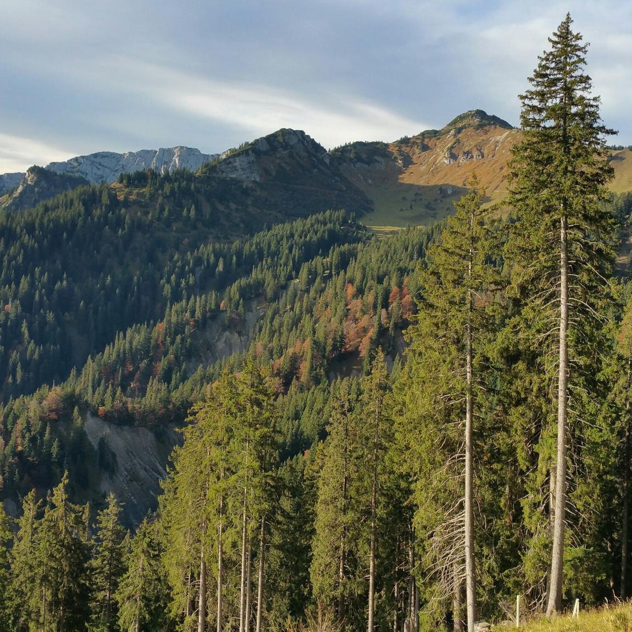
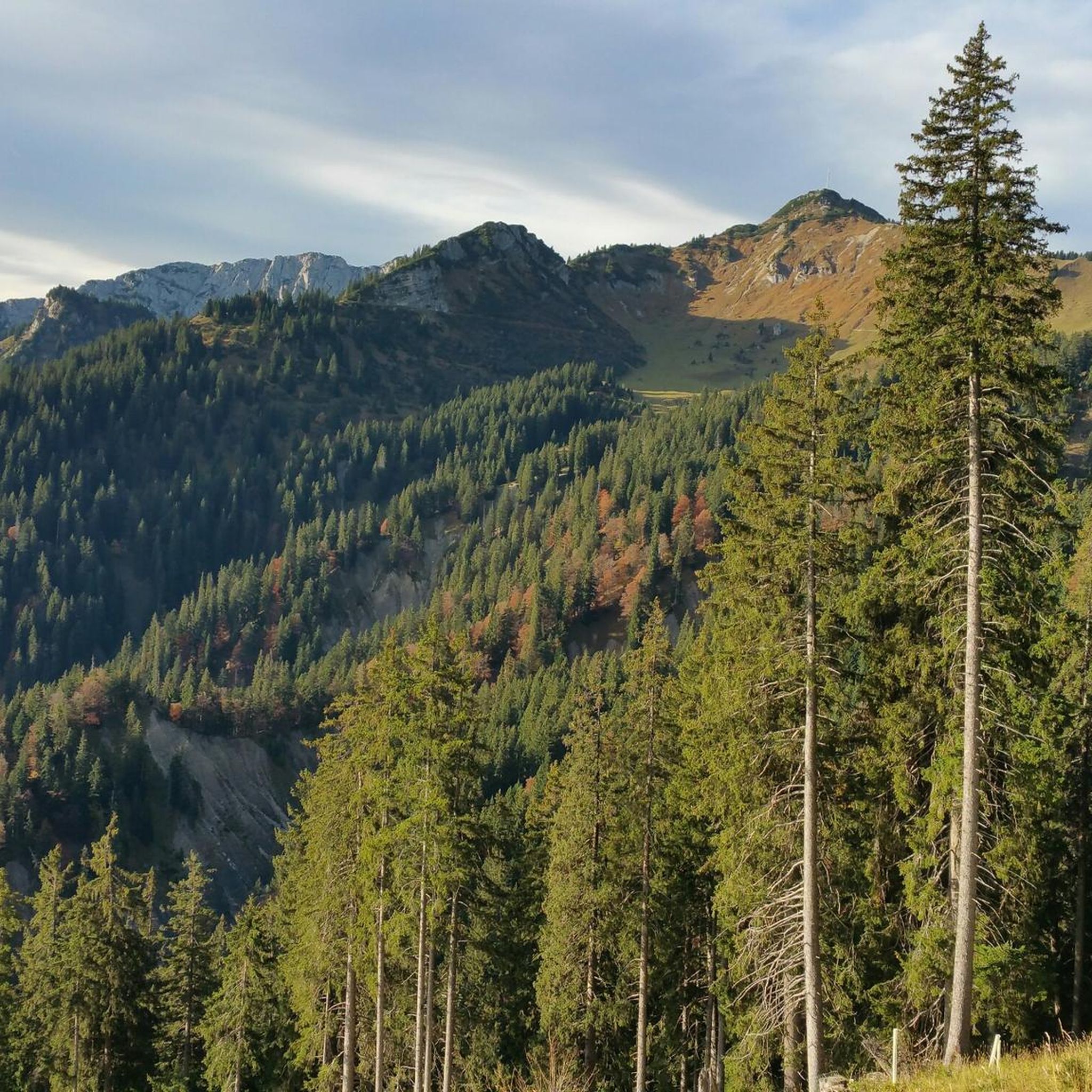
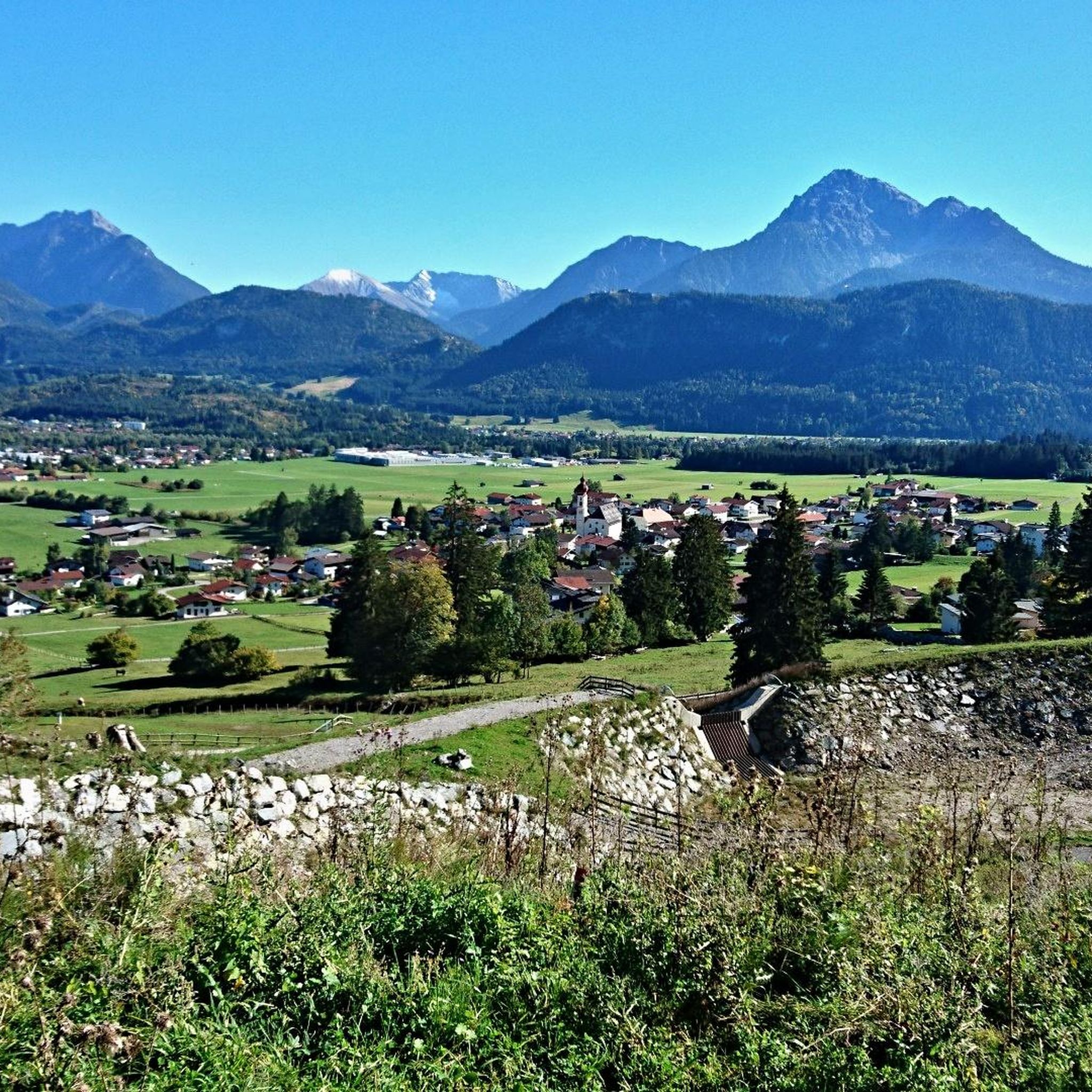
Mountaineering routes around Wängle are characterized by their alpine setting in the Tirol region, featuring significant elevation changes and diverse terrain. The area includes prominent peaks, high-altitude pastures, and forested slopes, providing a challenging environment for mountaineers. Routes often lead to summit crosses, offering extensive views of the surrounding mountain ranges. The landscape is defined by its rugged beauty, with trails traversing both rocky sections and more open alpine meadows.
Best mountaineering routes around Wängle
- The most popular mountaineering route…
Last updated: June 24, 2026
4.3
(12)
118
hikers
13.5km
06:51
1,180m
1,180m
Hard mountaineering route. Very good fitness required. Sure-footedness, sturdy shoes and alpine experience required.
4.9
(14)
83
hikers
13.3km
07:07
1,180m
1,180m
Hard mountaineering route. Very good fitness required. Sure-footedness, sturdy shoes and alpine experience required.

Sign up for free
5.0
(9)
69
hikers
12.5km
05:15
970m
970m
Hard mountaineering route. Very good fitness required. Mostly accessible paths. Sure-footedness required.
4.7
(9)
31
hikers
10.1km
04:56
650m
650m
Hard mountaineering route. Good fitness required. Sure-footedness, sturdy shoes and alpine experience required.
4.8
(4)
29
hikers
12.7km
05:39
960m
960m
Hard mountaineering route. Very good fitness required. Mostly accessible paths. Sure-footedness required.
Get access to more routes and recommendations from other explorers.
Sign up for free
Already have an account?
Our route recommendations are based on thousands of hikes, rides, and runs completed by other people on komoot.
Start today with a free account
Your next adventure awaits.
Login or Signup
Other adventures around Wängle

Tips from the Community

No matter where you are. There are always very beautiful views into the valley and the surrounding mountains. A great tour to relax.
0
0

That's right, it's a great spot, but it's called Cillyhütte, there's no Schartenalm in the whole area 😉
0
0


You can often enjoy the great view on the tour
6
0

So well-equipped, a dream for a stay or a relaxing holiday. A visit that's definitely worth it!
3
0
Very nice alp with great food and friendly people.
2
0
Magnificent mountain scenery at its finest!
5
1
Frequently Asked Questions
What is the general difficulty level of mountaineering routes around Wängle?
Mountaineering routes around Wängle offer a range of challenges. While there are 6 easy routes and 67 moderate options, the majority, 140 out of 213 routes, are classified as difficult. This indicates that many trails involve significant elevation changes and rugged alpine terrain, suitable for experienced mountaineers.
Are there any family-friendly or beginner-suitable mountaineering routes in Wängle?
Yes, for those seeking less strenuous options or mountaineering with family, there are 6 easy routes available around Wängle. Additionally, 67 routes are rated as moderate, providing a good stepping stone for beginners looking to advance their skills in an alpine environment.
How long do mountaineering routes around Wängle typically take to complete?
The duration of mountaineering routes in Wängle varies significantly based on difficulty and distance. For example, the difficult route Gehrenalpe 1610 m – Gehrenspitze Summit Cross loop from Wängle, which is 8.4 miles (13.5 km) long, typically takes around 6 hours 51 minutes. Another difficult option, View from Hahnenkamm – View of Haldensee loop from Höfen, covering 7.8 miles (12.6 km), can be completed in about 5 hours 17 minutes.
Are there any circular mountaineering routes available from Wängle or nearby starting points?
Yes, many mountaineering routes in the Wängle area are designed as loops. For instance, you can explore the Gehrenalpe 1610 m – Gehrenspitze Summit Cross loop from Wängle, or the Gehrenalpe 1610 m – Gehrenspitze Summit Cross loop from Höfen. Another popular circular option is the View from Hahnenkamm – View of Haldensee loop from Höfen, offering panoramic vistas.
What kind of attractions or landmarks can I expect to see near the mountaineering routes?
The Wängle region is rich in natural beauty and historical sites. You can find stunning viewpoints like the View of Alpsee and Hohenschwangau Castle, or the iconic Neuschwanstein Castle. Natural highlights include Lake Alpsee and the impressive Lechfall waterfall. Many routes offer views of these and other scenic points.
Are there any waterfalls or gorges to explore near Wängle's mountaineering trails?
Absolutely. The area boasts several impressive natural water features. You can visit the powerful Lechfall, or discover the Reichenbach Gorge. Another notable waterfall is Stuiben Falls, offering a dramatic natural spectacle.
What do other mountaineers enjoy most about the routes in Wängle?
The mountaineering routes in Wängle are highly regarded by the komoot community, with an impressive average rating of 4.8 stars from over 2300 reviews. Mountaineers frequently praise the expansive views from summit crosses, the diverse alpine terrain, and the challenging yet rewarding nature of the trails. The region's rugged beauty and well-maintained paths are often highlighted.
What is the best time of year for mountaineering in Wängle?
The prime season for mountaineering in Wängle is typically from late spring to early autumn (June to September), when trails are generally free of snow and weather conditions are more stable. During these months, you'll experience the full beauty of the alpine meadows and enjoy clearer views from the peaks. Winter mountaineering is possible but requires specialized equipment and expertise due to snow, ice, and avalanche risks.
Are there any permits required for mountaineering in the Wängle area?
Generally, no specific permits are required for recreational mountaineering on marked trails in the Wängle region. However, it's always advisable to check local regulations, especially if you plan to engage in activities like climbing or entering protected wildlife areas. For most standard mountaineering routes, you can simply start your adventure.
What should I wear for mountaineering in Wängle, especially in summer?
Even in summer, alpine weather can be unpredictable. It's crucial to dress in layers, including moisture-wicking base layers, insulating mid-layers, and a waterproof/windproof outer shell. Sturdy mountaineering boots with good ankle support are essential. Don't forget sun protection (hat, sunglasses, sunscreen), gloves, and a warm hat, as temperatures can drop significantly at higher altitudes.
Are there any advanced or particularly challenging mountaineering routes for experienced climbers?
Yes, Wängle is well-suited for experienced mountaineers, with 140 out of 213 routes classified as difficult. These routes often feature significant elevation gains, exposed sections, and require good physical condition and alpine experience. An example of a challenging route is the Gehrenspitze Summit Cross – Schneidspitze loop from Bergsee Hahnenkamm, which involves substantial ascent and descent over 6.3 miles (10.1 km).
Are there opportunities for wild swimming near the mountaineering routes in Wängle?
While specific wild swimming spots directly adjacent to mountaineering routes are not explicitly detailed, the region is home to beautiful alpine lakes such as Lake Alpsee. Some high-altitude tarns or mountain lakes encountered on longer routes might offer opportunities for a refreshing dip, but always check local regulations and water temperatures before entering.
Most popular attractions around Wängle

Get inspired with the komoot mobile app


Explore more
Browse the best Mountain Hikes & Routes in other regions.
