The best mountain hikes around Vils
4.8
(135)
761
hikers
21
hikes
Mountaineering routes around Vils offer diverse routes through the alpine landscapes of the Austrian Tyrol. The region is characterized by mountainous terrain, picturesque valleys, and lush forests, providing varied conditions for ascents and traverses. These routes often feature significant elevation gains and lead to panoramic viewpoints, with the impressive mountain ridges of the Allgäu Alps forming a scenic backdrop.
Best mountaineering routes around Vils
- The most popular mountaineering route is Hundsarsch Pass – View of Vilser Kegel loop from Vils…
Last updated: October 5, 2026
4.9
(34)
178
hikers
14.1km
05:33
790m
790m
Hard mountaineering route. Very good fitness required. Sure-footedness, sturdy shoes and alpine experience required.
4.7
(15)
64
hikers
13.6km
04:51
520m
520m
Moderate mountaineering route. Good fitness required. Mostly accessible paths. Sure-footedness required.

5.0
(11)
41
hikers
14.4km
06:30
850m
850m
Hard mountaineering route. Very good fitness required. Sure-footedness, sturdy shoes and alpine experience required.
4.9
(8)
57
hikers
Hard mountaineering route. Good fitness required. Sure-footedness, sturdy shoes and alpine experience required.
4.8
(8)
51
hikers
15.8km
07:21
1,190m
1,190m
Hard mountaineering route. Very good fitness required. Sure-footedness, sturdy shoes and alpine experience required.
Get access to more routes and recommendations from other explorers.
Already have an account?
Our route recommendations are based on thousands of hikes, rides, and runs completed by other people on komoot.
Start today with a free account
Your next adventure awaits.
Popular around Vils

Climbing Alpine peaks on the Route to the Top – Allgäu hiking trilogy
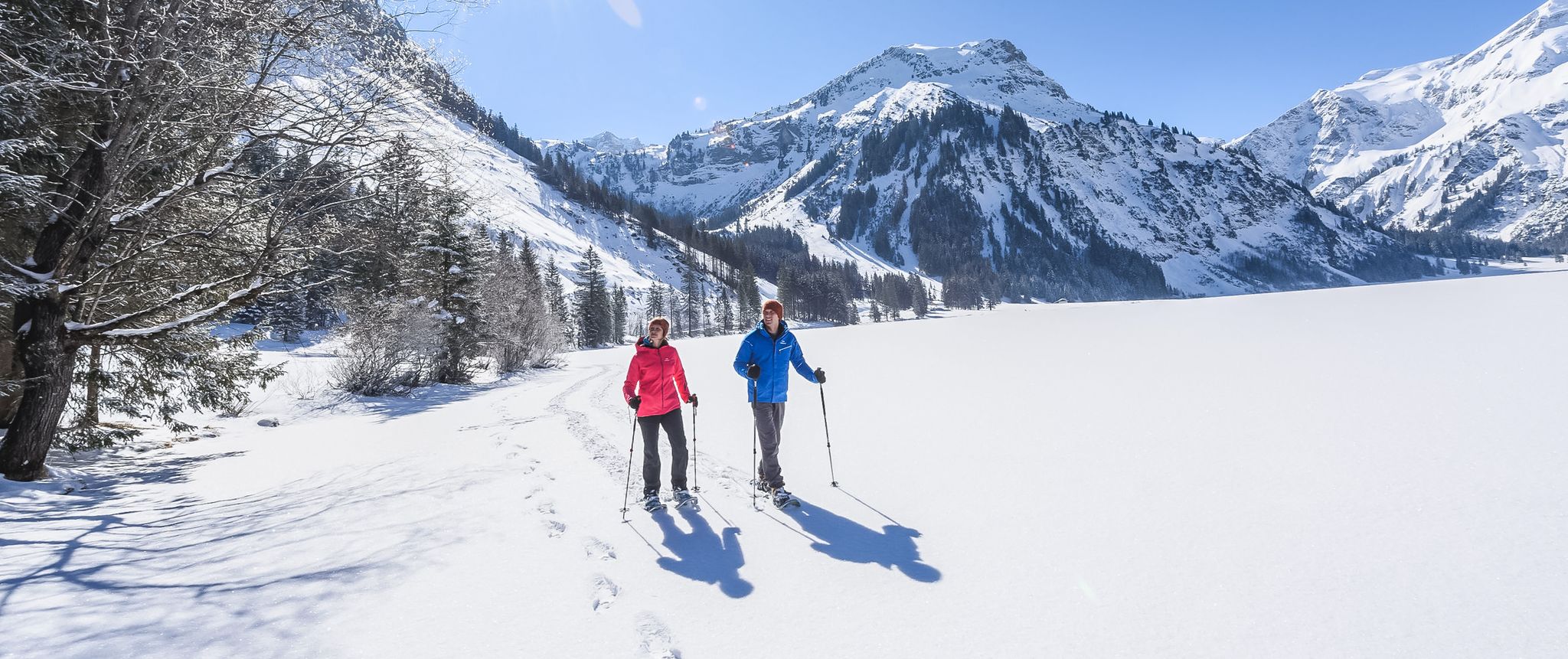
Mountains, snow & a clear blue sky – winter hikes in the Tannheimer Valley
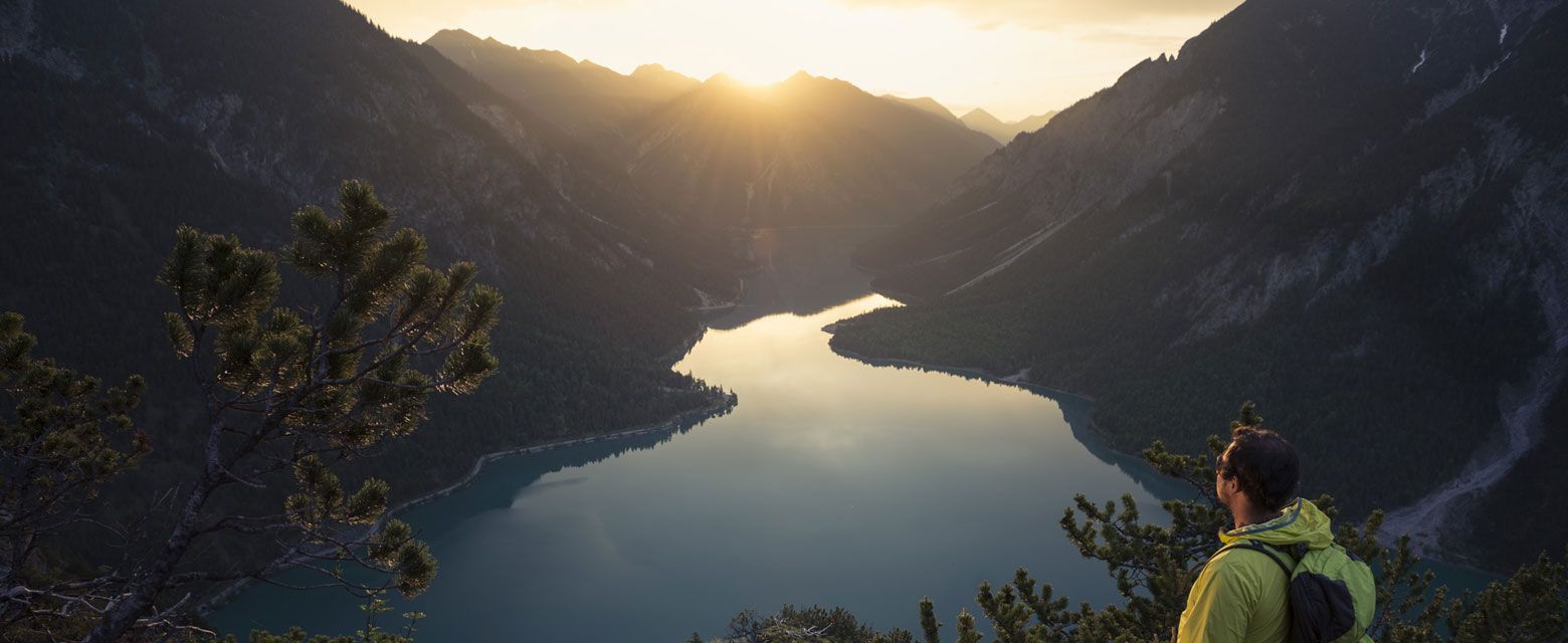
Hut tours around Reutte
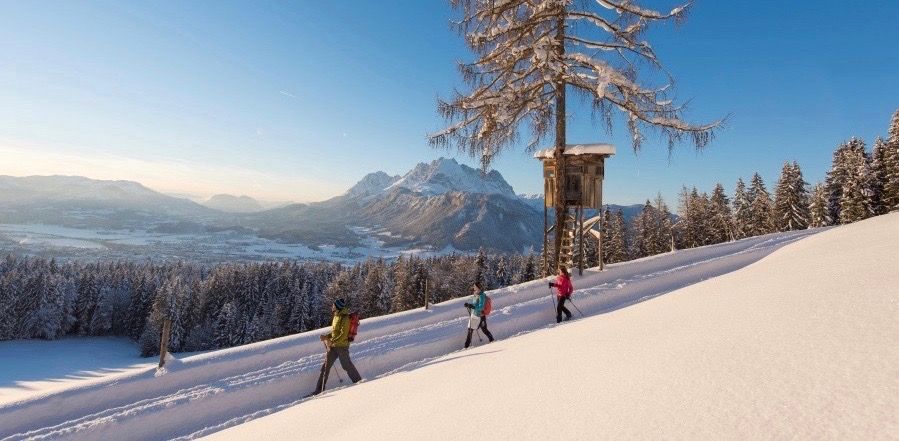
Winter wonderland — hiking in the Tyrolean Alps
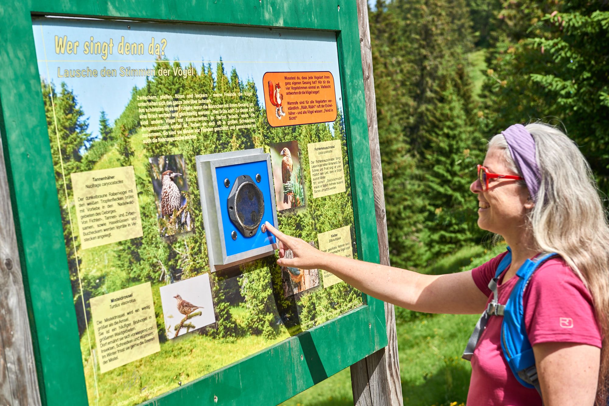
Wissenswertes über die Natur bis zur Geschichte – Themenwege im Tannheimer Tal
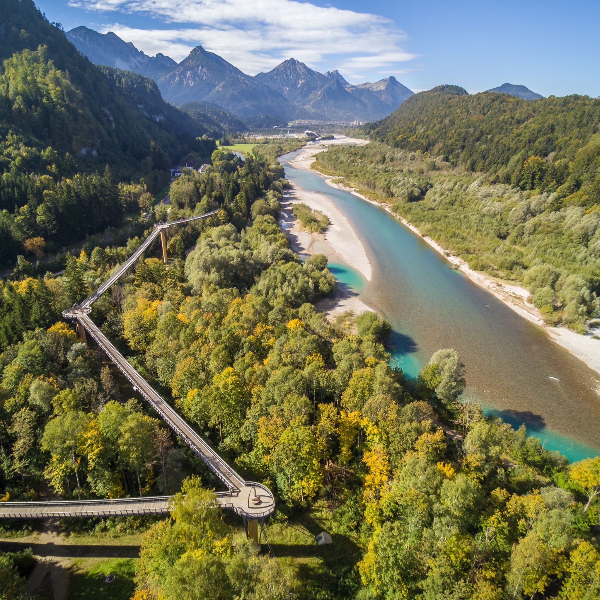
Hiking around Vils
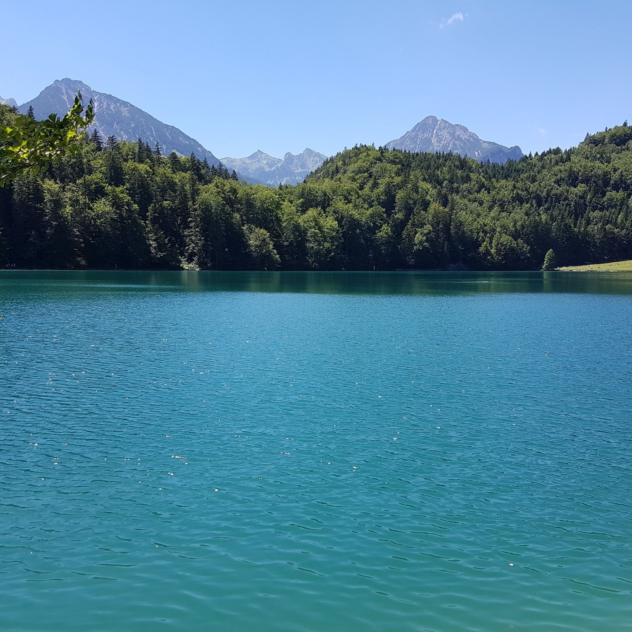
Road Cycling Routes around Vils
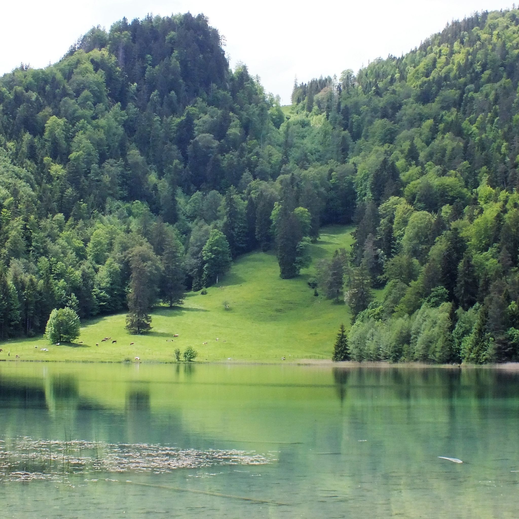
Cycling around Vils

Gravel biking around Vils
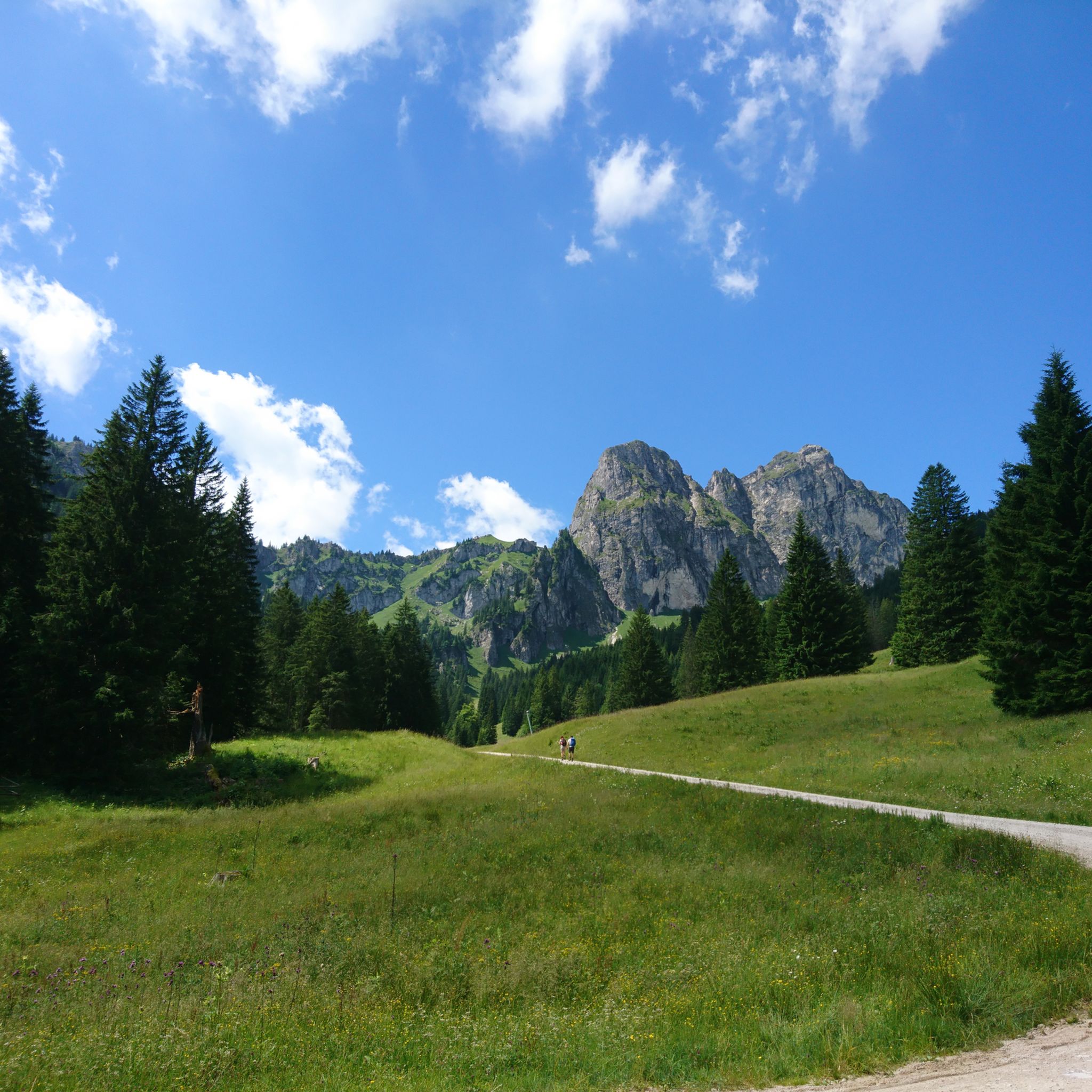
MTB Trails around Vils
Other adventures around Vils


Tips from the Community

Great spot to see both alpine lakes at once, their contrasting colors make for a memorable view.
0
0
Trail junction where the route gets noticeably steeper and rockier, pay attention to the signage here to stay on the right path.
0
0

Partially, there can still be large snowfields until the end of June, so inform yourself beforehand.
2
0
The view from the Füssener Jöchle stretches far over the land below the Läuferspitze.
2
0
A beautiful and mighty rock massif. The ascent, which is well secured in the upper part, is always worth it!
3
0

Beautiful winter view into the Tannheimer Tal
0
0
Beautiful view of the Tannheimer Berge & Allgäuer Hochalpen
0
0

If you stand on the Salober and look precisely between the two spruce trees, you can clearly see the Zugspitze massif in the background.
0
0
Frequently Asked Questions
How many mountaineering routes are available in Vils?
Vils offers a good selection of mountaineering routes, with over 20 tours available. These routes cater to various skill levels, from moderate to difficult, allowing you to explore the alpine landscapes of the Austrian Tyrol.
What do other mountaineers say about the routes in Vils?
The mountaineering routes in Vils are highly regarded by the komoot community, boasting an average rating of 4.8 stars from over 120 reviews. More than 700 mountaineers have already used komoot to discover the diverse terrain, often praising the panoramic views and challenging ascents.
Are there any easy mountaineering routes in Vils for beginners?
While many routes in Vils are rated difficult, there are some moderate options suitable for those with some experience or looking for a less strenuous climb. For example, the View of Weißensee – Marian Grotto Falkenstein loop from Vils Stadt is a moderate 8.5-mile path that offers beautiful views without extreme difficulty.
What is the best time of year for mountaineering in Vils?
The prime season for mountaineering in Vils typically runs from late spring through early fall. During these months, the trails are generally clear of snow, and the weather is more stable, offering ideal conditions for ascents and enjoying the alpine scenery. Some areas might also offer winter activities like snowshoeing, but traditional mountaineering is best in warmer months.
Can I find circular mountaineering routes in Vils?
Yes, Vils features several excellent circular mountaineering routes. A popular option is the Hundsarsch Pass – View of Vilser Kegel loop from Vils Stadt, which is a difficult 8.7-mile trail offering panoramic views. Another is the View of Weißensee – Marian Grotto Falkenstein loop from Vils Stadt, a moderate 8.5-mile loop.
Are there routes with waterfalls or gorges in the Vils area?
Yes, the Vils region is home to several natural attractions including waterfalls and gorges. You can explore highlights like the Lechfall or the Reichenbach Gorge. The Waterfall trail Nesselwang is also nearby, offering a chance to experience cascading water features.
Are there family-friendly mountaineering options around Vils?
While many mountaineering routes in Vils are challenging, families with older children or those seeking less strenuous hikes can find suitable options. Look for moderate trails that offer scenic views without extreme elevation gains. Always check the route's difficulty and length to ensure it aligns with your family's capabilities.
What kind of landmarks or points of interest can I see along the routes?
Mountaineering routes in Vils often lead to stunning viewpoints and pass by interesting landmarks. You might encounter the View of Neuschwanstein Castle and the Pöllat Waterfall from the Marienbrücke, or the Marian Grotto Falkenstein. The region's alpine peaks, forested slopes, and high-altitude trails themselves offer breathtaking natural beauty.
Are there options for advanced mountaineers in Vils?
Absolutely. Vils is well-suited for advanced mountaineers, with 18 out of 22 routes rated as difficult. These trails often feature significant elevation gains and lead through alpine ridges, such as the Böser Tritt Junction – Gräner Höhenweg loop from Grän, which takes you through challenging alpine terrain.
What are the typical durations and distances for mountaineering routes in Vils?
The mountaineering routes in Vils vary in length and duration. You can expect routes ranging from approximately 3.6 miles (5.8 km) to 9.8 miles (15.8 km). Durations typically range from 2.5 hours for shorter, difficult routes to over 7 hours for longer, more strenuous ascents, depending on the specific trail and your pace.
Are dogs allowed on the mountaineering trails in Vils?
Many trails in the Vils region are dog-friendly, allowing you to bring your canine companion along for the adventure. However, it's always advisable to check specific trail regulations or local signage before heading out, especially in protected areas or during certain seasons, and to keep your dog on a leash for their safety and that of wildlife.
Where can I park for mountaineering trails in Vils?
Parking availability varies by trailhead in the Vils region. Many popular starting points for mountaineering routes, especially those near towns like Vils Stadt or Grän, typically have designated parking areas. It's recommended to research specific trailheads in advance for detailed parking information and any potential fees.
Is there public transport access to the mountaineering routes in Vils?
Public transport options to reach trailheads in the Vils area can be limited for some remote routes, but main towns and popular starting points are often accessible by local bus services. Planning your journey using local transport schedules is recommended if you intend to rely on public transport for access to the trails.
Most popular attractions around Vils

Get inspired with the komoot mobile app


Explore more
Browse the best Mountain Hikes & Routes in other regions.
