The best mountain hikes around Stanzach
4.7
(301)
2,334
hikers
73
hikes
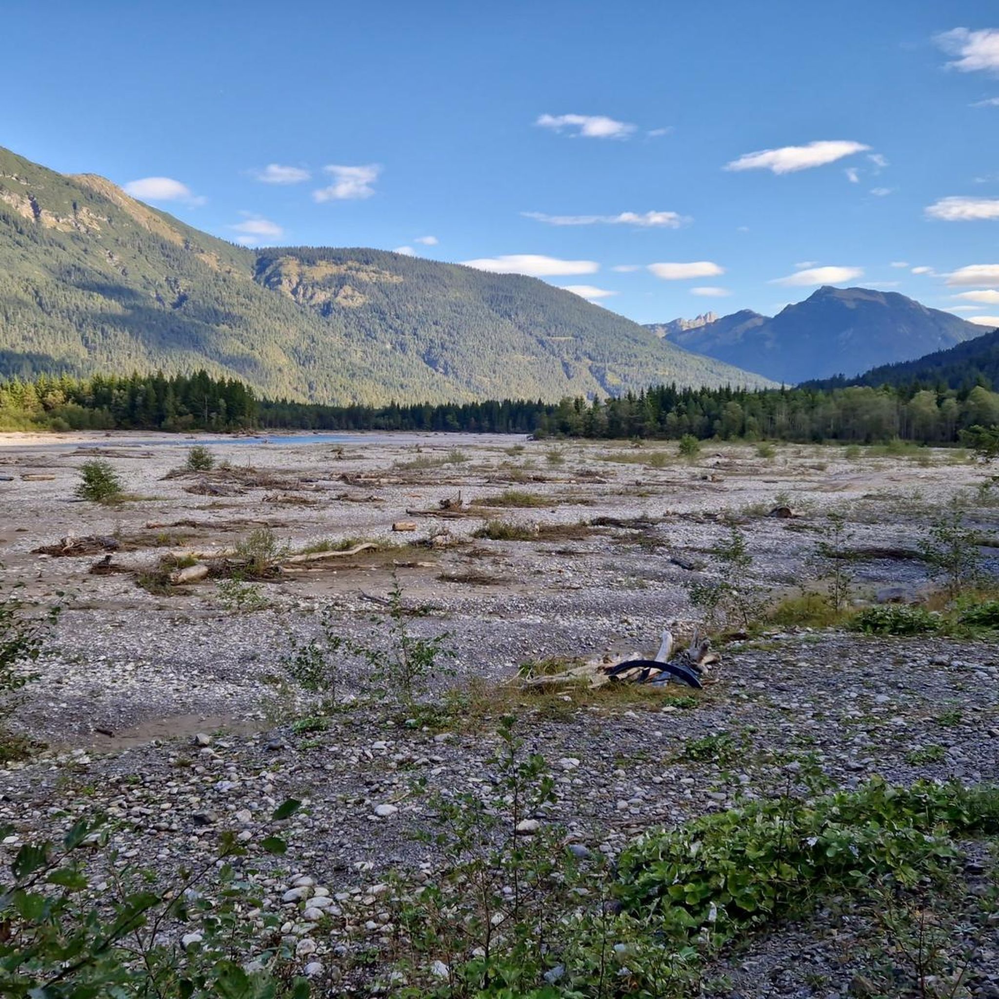
Mountaineering routes Stanzach are set within the Lechtal valley, nestled at 939 meters between the Lechtal and Allgäu Alps. This prime location provides access to a variety of mountain terrain, characterized by challenging ascents and rewarding views. The region features the pristine Lech River and its unique braided course, alongside dramatic alpine landscapes. Many routes demand good fitness and sure-footedness, with some sections requiring navigation skills.
Best mountaineering routes around Stanzach
- The most popular mountaineering route is Knittelkarspitze loop from…
Last updated: June 24, 2026
4.9
(8)
42
hikers
11.3km
06:19
1,100m
1,100m
Hard mountaineering route. Very good fitness required. Sure-footedness, sturdy shoes and alpine experience required.
5.0
(5)
23
hikers
12.3km
06:20
1,050m
1,050m
Hard mountaineering route. Very good fitness required. Sure-footedness, sturdy shoes and alpine experience required.

Sign up for free
5.0
(2)
26
hikers
9.55km
06:09
1,050m
1,050m
Hard mountaineering route. Very good fitness required. Sure-footedness, sturdy shoes and alpine experience required.
22
hikers
12.2km
06:17
1,120m
1,120m
Hard mountaineering route. Very good fitness required. Mostly accessible paths. Sure-footedness required.
4.0
(2)
14
hikers
19.0km
07:55
1,070m
1,070m
Hard mountaineering route. Very good fitness required. Sure-footedness, sturdy shoes and alpine experience required.
Get access to more routes and recommendations from other explorers.
Sign up for free
Already have an account?
Our route recommendations are based on thousands of hikes, rides, and runs completed by other people on komoot.
Start today with a free account
Your next adventure awaits.
Login or Signup
Popular around Stanzach
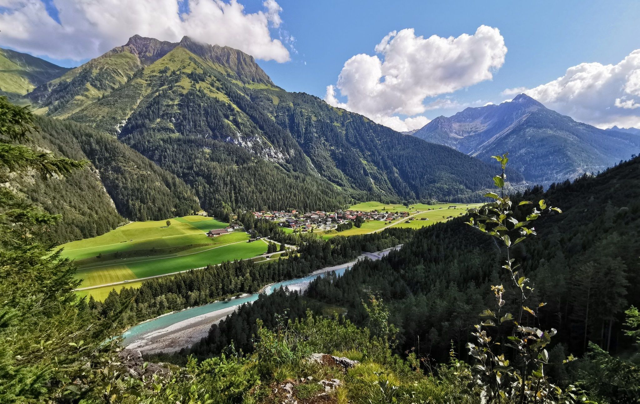
The Lechweg — eight days on Austria's wildest river
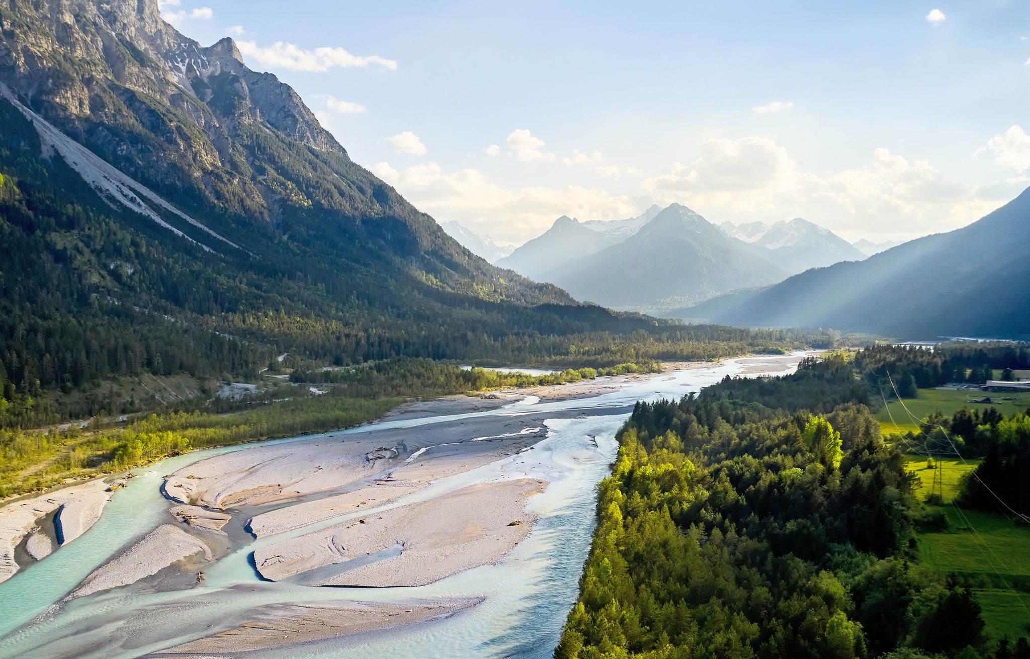
Lechweg – follow the wild river through the mountains
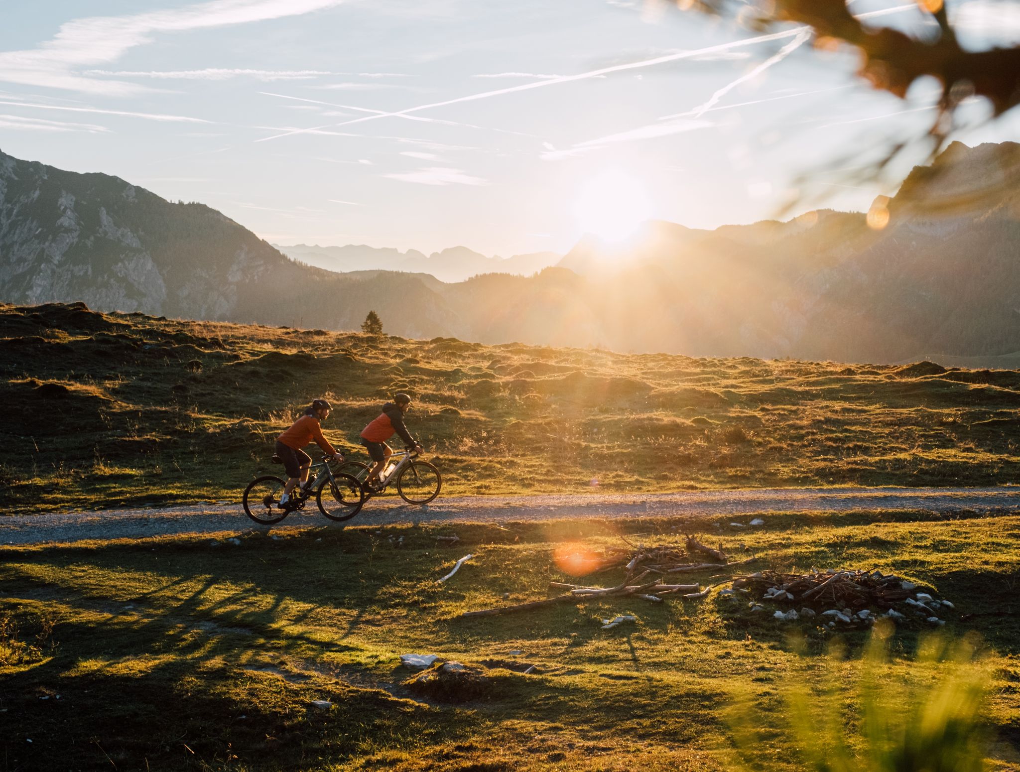
Beyond the pavement – explore Austria's wild nature on a gravel bike
Gravel biking around Stanzach
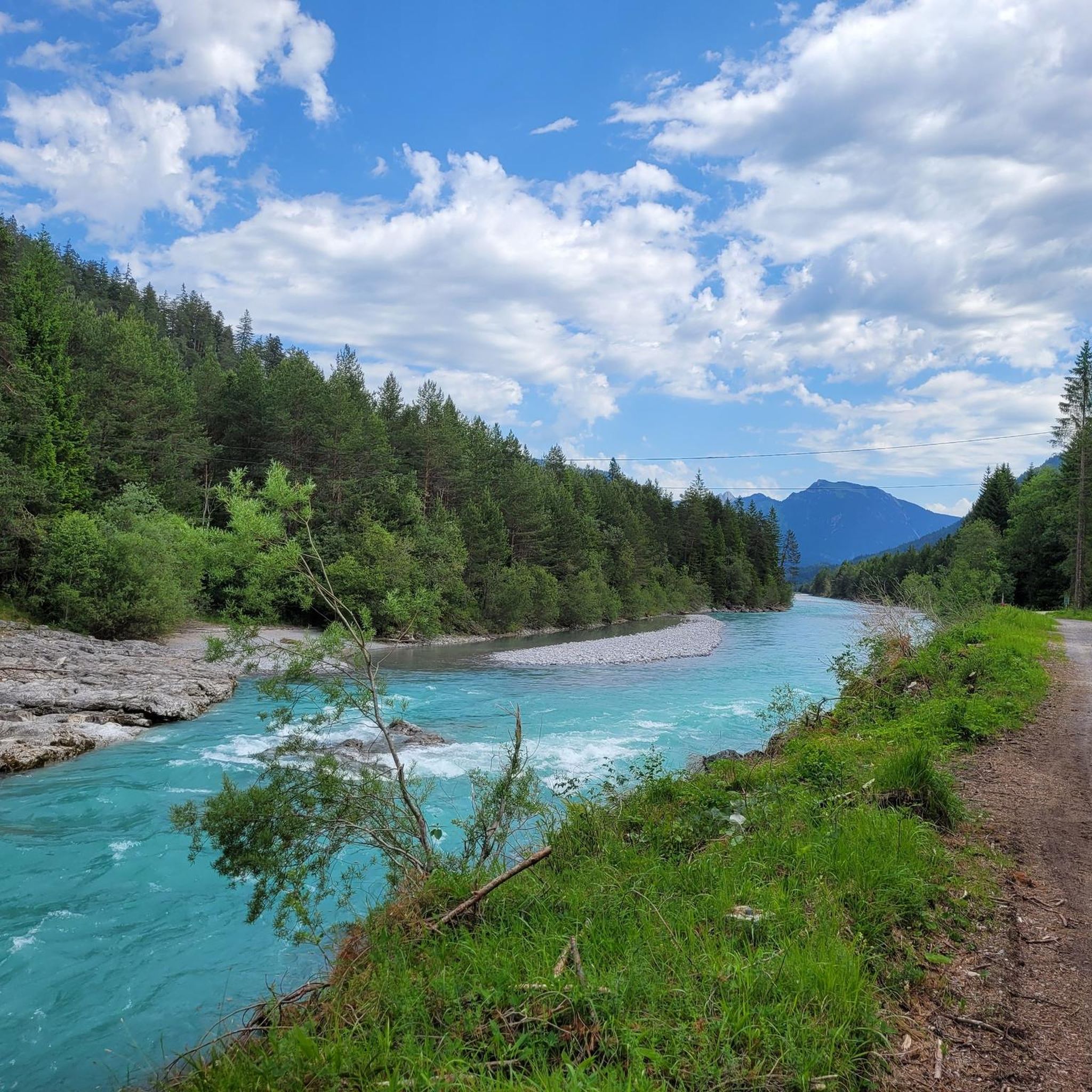
MTB Trails around Stanzach
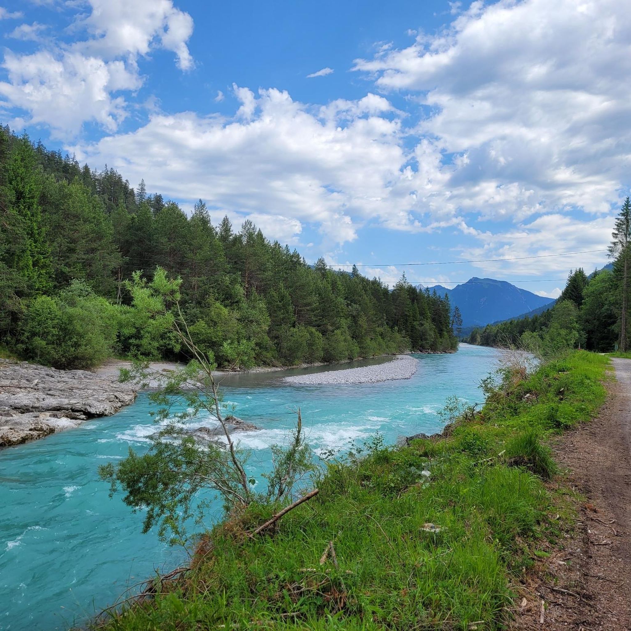
Hiking around Stanzach
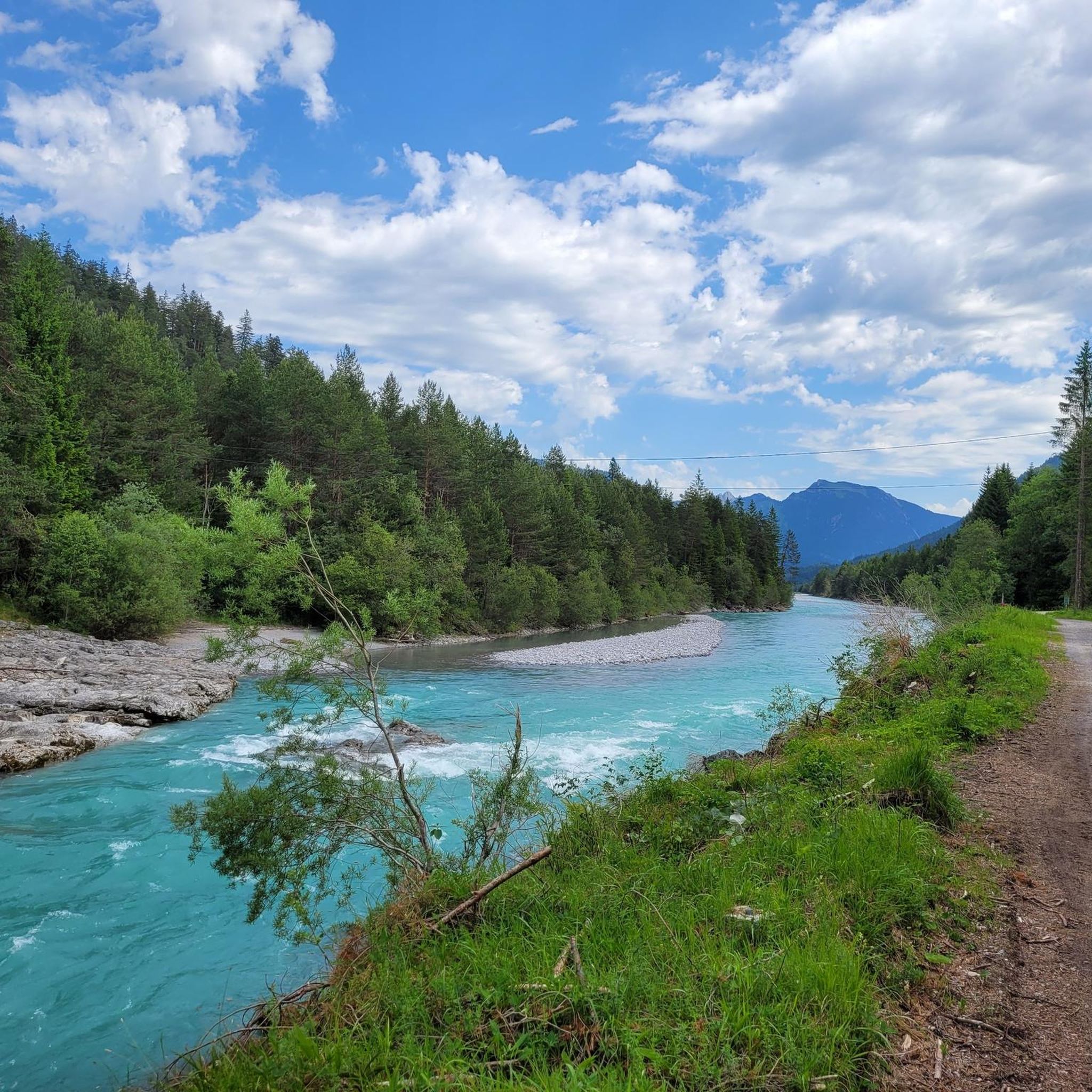
Cycling around Stanzach
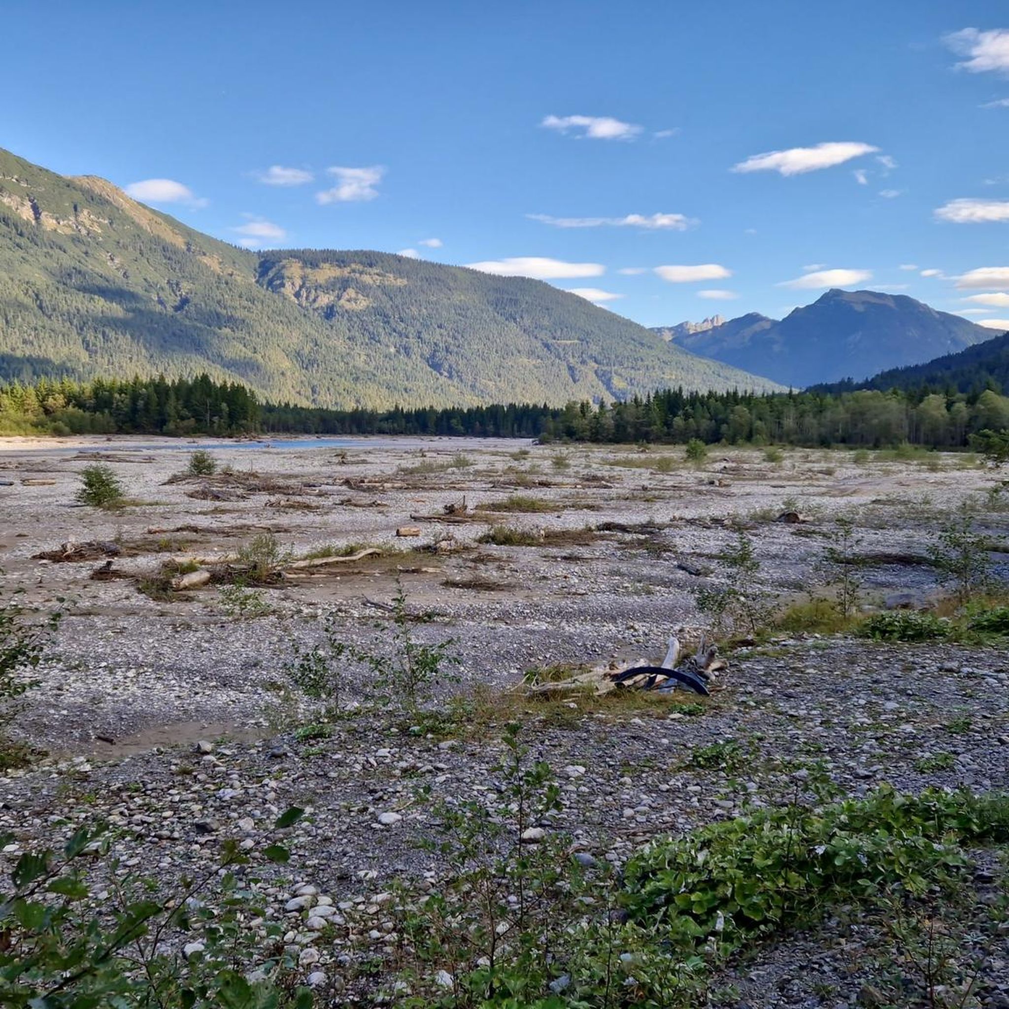
Road Cycling Routes around Stanzach
Running Trails around Stanzach


Tips from the Community

The path up is lined with breathtaking views, we started from Kelmen, parking costs €2. The path was well signposted, the last upper section is only for sure-footed and experienced hikers, but easily doable thanks to the 3 rope sections. The stated 3.5 hours is well-intentioned but it's more like 4 hours, but all in all a very beautiful hike.
0
0

On the descent from the Knittelkarspitze via the Schönjöchl to Namlos, the lower third of the trail is poorly marked, so I deviated from the regular trail in the mountain pine area and had to find an alternative route across a very steep mountain meadow down to Namlos. Werner Storch from Egg in the Bregenzerwald
1
0

A picturesque place, beautifully situated in the Namlos Valley. The place name "Namlos" is probably derived from an early settler named Amel. The short form of Amelfrid or Amalung. In 1427 it was still called "in Amles", then the N was added to the name through incorrect hyphenation. So the place was called Namles for a while and officially became Namlos. Interesting: On October 8, 1930, Namlos was at the epicenter of an earthquake known as the "Namlos earthquake". 16 tremors measuring 5.3 on the Richter scale shook the village. 31 of 47 chimneys collapsed. The starting point of the earthquake is believed to be under the nearby Knittelkarspitze. Namlos has had its own earthquake measuring station since 2012.
2
0

A great mountain for ski tours and hikes. The only thing that is not easy to cross is the dense forest belt. But once you have reached the wonderful ridge to the summit, you can enjoy pure enjoyment with a great view!
0
0

If you're already there, you should make a stop. Nice hut with good food
3
0

We were able to get drinks here even during the renovation phase. Super dear hosts.
2
0
Also in the renovation phase. It here cold and hot drinks!
2
0

Hike to the summit without climbing (2022). Some mudslides have to be crossed.
1
0
Frequently Asked Questions
How many mountaineering routes are available around Stanzach?
There are over 75 mountaineering routes around Stanzach, catering primarily to experienced hikers. The majority, about 55, are classified as difficult, with 19 moderate and 1 easy route available.
What kind of terrain can I expect on mountaineering routes in Stanzach?
Mountaineering routes in Stanzach traverse the dramatic Lechtal and Allgäu Alps. You can expect challenging ascents, rewarding views, and varied terrain that often requires good fitness and sure-footedness. Some paths may have short wire ropes for assistance, and navigation skills can be beneficial due to sparsely marked sections.
Are there any circular mountaineering routes in the Stanzach area?
Yes, many routes in the Stanzach region are designed as loops. For example, the challenging Pleishütte – Pleisspitze (2,109 m) loop from Stanzach is a difficult 14.9 km tour that offers stunning views from the Pleisspitze summit.
What are some notable landmarks or attractions I might encounter on a mountaineering tour?
The region offers several interesting landmarks. You might come across historic structures like the Historic Arch Bridge at Gaicht Pass, or enjoy panoramic views from the Steinjöchl summit cross. The unique braided course of the Lech River, known as the 'Lechzopf,' is also a prominent natural feature.
Are there any huts or places to rest along the mountaineering trails?
Yes, there are several huts in the area that provide convenient rest stops. Notable options include the Landsberger Hut and the Krinnenalpe. Other huts like the Prinz-Luitpold-Haus and Muttekopf Hut are also accessible in the wider region.
What do other mountaineers say about the routes in Stanzach?
The mountaineering routes around Stanzach are highly rated by the komoot community, with an average score of 4.8 stars from over 300 reviews. Mountaineers often praise the dramatic alpine landscapes, the challenging yet rewarding ascents, and the pristine natural environment of the Lechtal valley.
Are there any easy mountaineering routes suitable for beginners in Stanzach?
While the majority of routes are moderate to difficult, there is at least one easy mountaineering route available in Stanzach. However, the region is generally known for its more challenging terrain, best suited for experienced hikers.
Can I find routes that offer views of the Lech River?
Absolutely. Stanzach is nestled in the idyllic floodplain landscape of the pristine Lech River. Many routes offer views of this unique river, known for its braided course, especially between Stanzach and Forchach. The Lechau Meadows, part of the Tiroler Lech Nature Park, also provide opportunities to experience its rare flora and fauna.
Are there any longer, more challenging mountaineering loops for very good fitness levels?
For those with very good fitness, the region offers extended and demanding loops. An example is the Mountaineering loop from Namlos, a difficult 19.0 km route that typically takes around 7 hours and 55 minutes to complete, offering a significant challenge.
What is the best time of year for mountaineering in Stanzach?
The best time for mountaineering in Stanzach is typically during the warmer months, from late spring to early autumn, when trails are clear of snow and weather conditions are more stable. Always check local weather forecasts and trail conditions before heading out, as alpine weather can change rapidly.
Are there any unique natural features to look out for in the Stanzach mountains?
Beyond the stunning mountain peaks, the region is home to the unique 'Lechzopf' – the striking braided course of the Lech River. You might also spot wildlife in areas like Almdorf Fallerschein, which features a game observation stand to watch deer in their natural habitat.
What is the typical duration for a difficult mountaineering route in Stanzach?
Difficult mountaineering routes in Stanzach can vary in duration depending on distance and elevation gain. For instance, the Pleishütte – Pleisspitze (2,109 m) loop from Stanzach is a difficult 14.9 km route that typically takes around 6 hours and 52 minutes to complete.
Most popular routes around Stanzach
Most popular attractions around Stanzach

Get inspired with the komoot mobile app


Explore more
Browse the best Mountain Hikes & Routes in other regions.
