The best mountain hikes around Kramsach
4.7
(44)
539
hikers
15
hikes
Mountaineering routes around Kramsach are set within the scenic Alpbachtal Valley in Tyrol, Austria, characterized by diverse terrain. The region features accessible mountain landscapes, dramatic gorges carved by the Brandenberger Ache River, and the surrounding Rofan mountains. This area offers a mix of challenging ascents and routes that traverse pristine lakes, providing varied experiences for mountaineers.
Best mountaineering routes around Kramsach
- The most popular mountaineering route is View of Lake Reintal – View of the Reintaler See loop from Radfeld…
Last updated: October 11, 2026
4.8
(20)
193
hikers
8.01km
03:34
470m
470m
Hard mountaineering route. Good fitness required. Sure-footedness, sturdy shoes and alpine experience required.
4.8
(17)
183
hikers
5.47km
02:47
420m
420m
Hard mountaineering route. Good fitness required. Sure-footedness, sturdy shoes and alpine experience required.

5.0
(1)
51
hikers
9.06km
04:48
890m
890m
Hard mountaineering route. Good fitness required. Sure-footedness, sturdy shoes and alpine experience required.
5.0
(2)
24
hikers
16.0km
06:29
970m
970m
Hard mountaineering route. Very good fitness required. Sure-footedness, sturdy shoes and alpine experience required.
5.0
(1)
19
hikers
15.0km
05:48
1,010m
1,010m
Hard mountaineering route. Very good fitness required. Mostly accessible paths. Sure-footedness required.
Get access to more routes and recommendations from other explorers.
Already have an account?
Our route recommendations are based on thousands of hikes, rides, and runs completed by other people on komoot.
Start today with a free account
Your next adventure awaits.
Popular around Kramsach
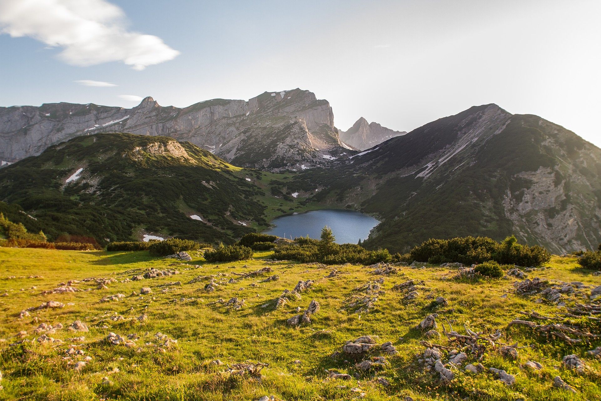
Your Alpbachtal Bucket List: 10 routes that outdoor enthusiasts love
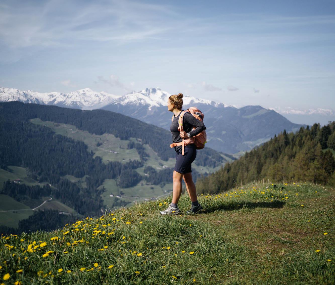
Wild waters and picturesque peaks – hiking in Alpbachtal
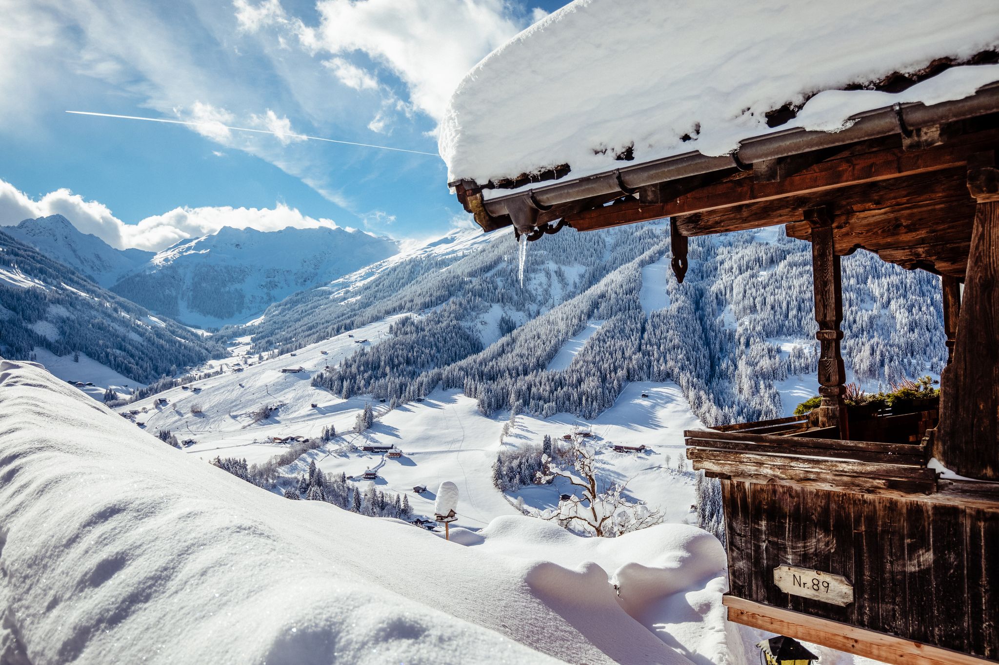
Where winter dreams come true – the 10 most beautiful hikes in Alpbachtal
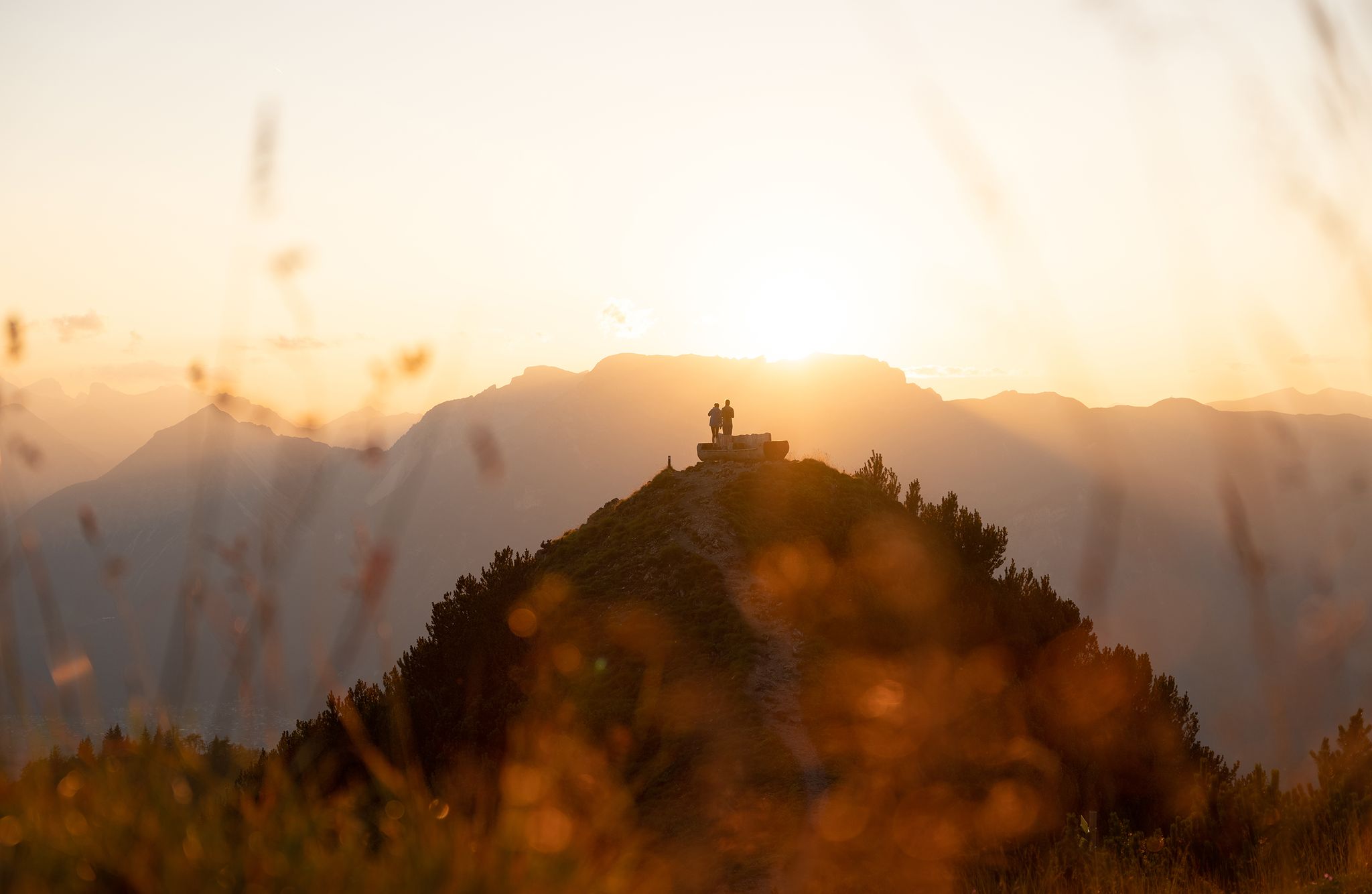
Golden Autumn – hikes in the Alpbachtal
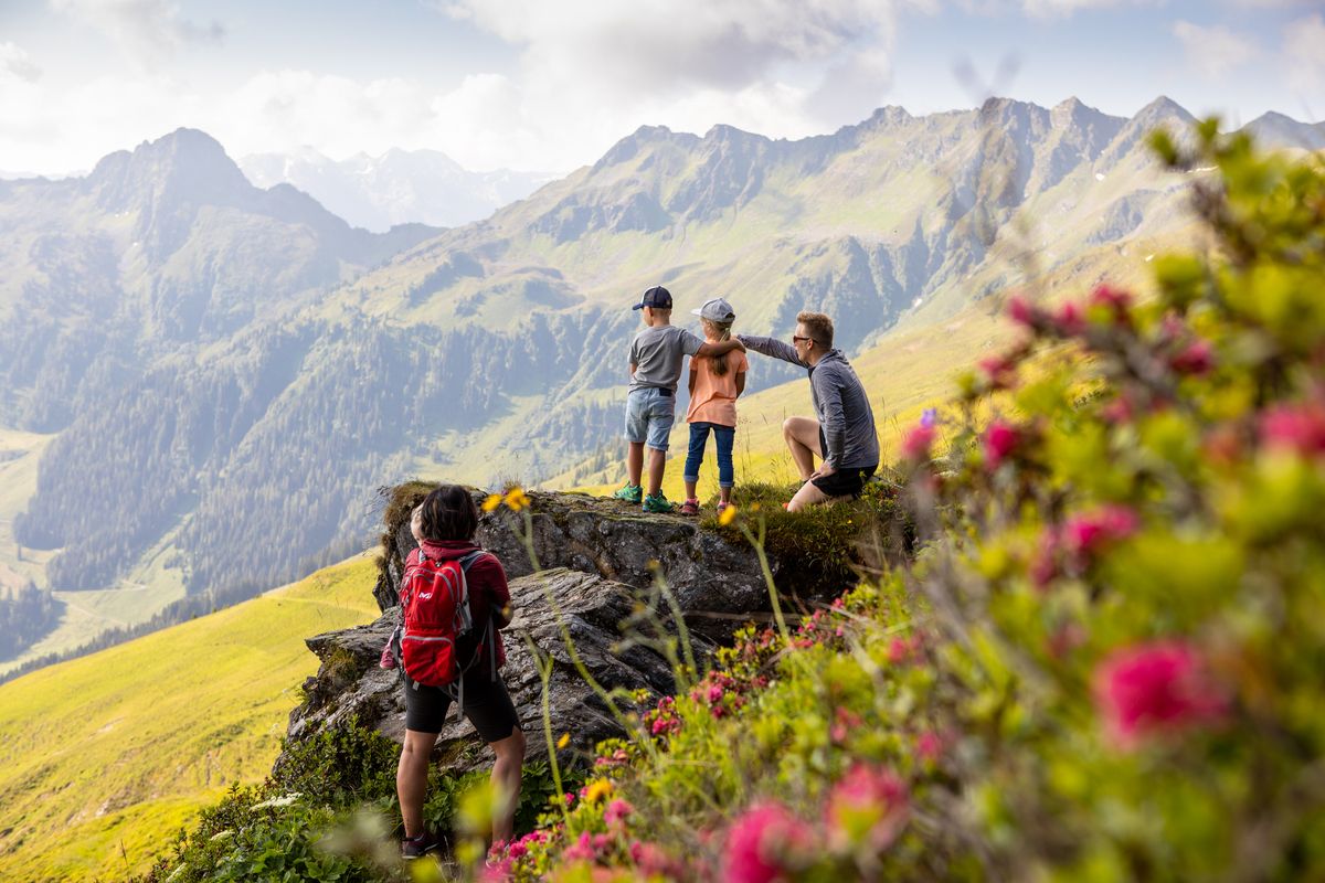
Great hikes for the whole family – 10 Tours in the Alpbachtal in Austria
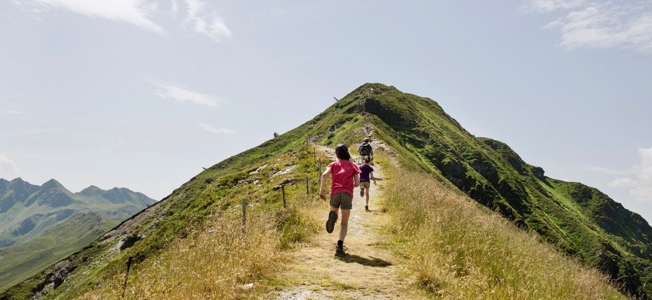
The most exciting family hikes in Tyrol
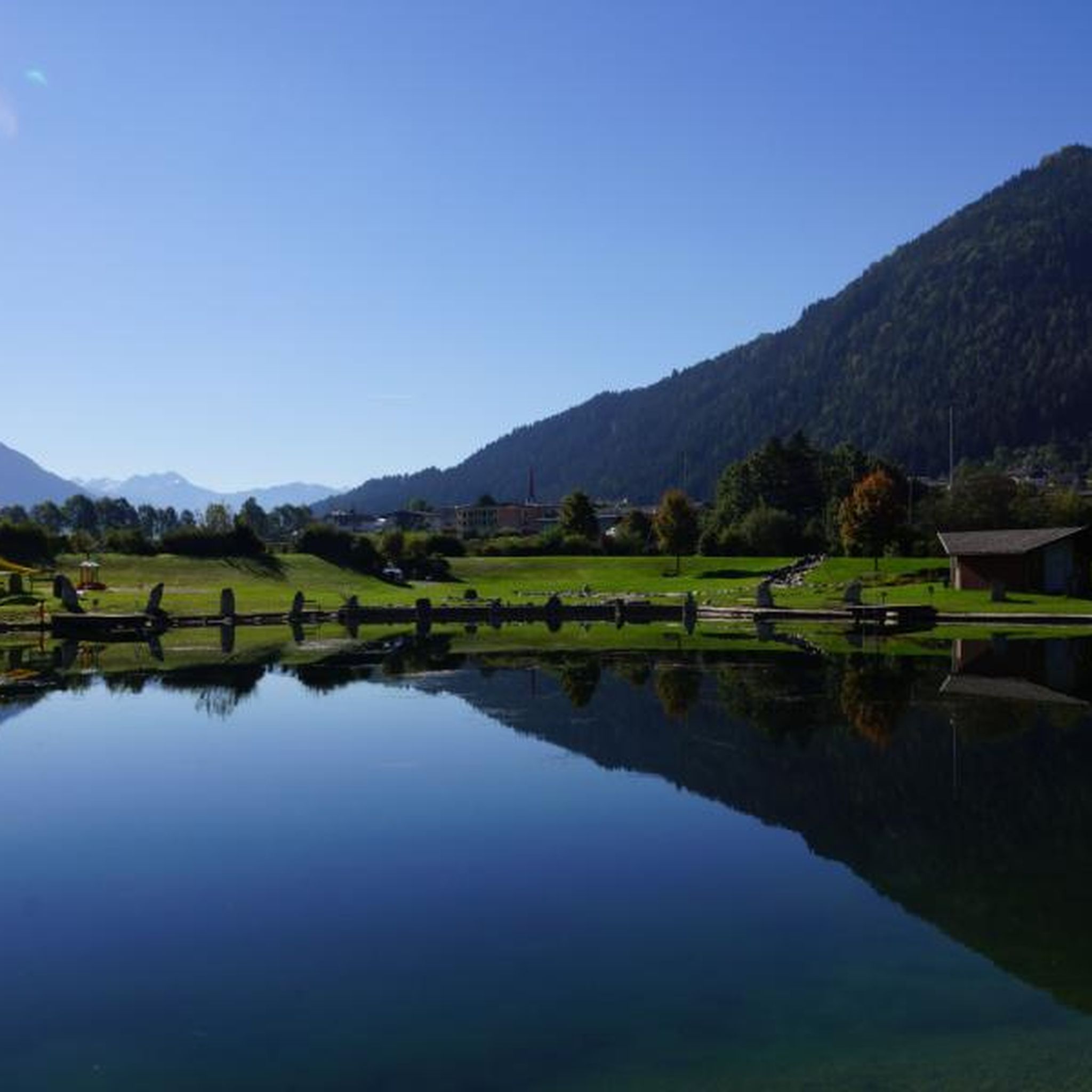
Hiking around Kramsach
MTB Trails around Kramsach
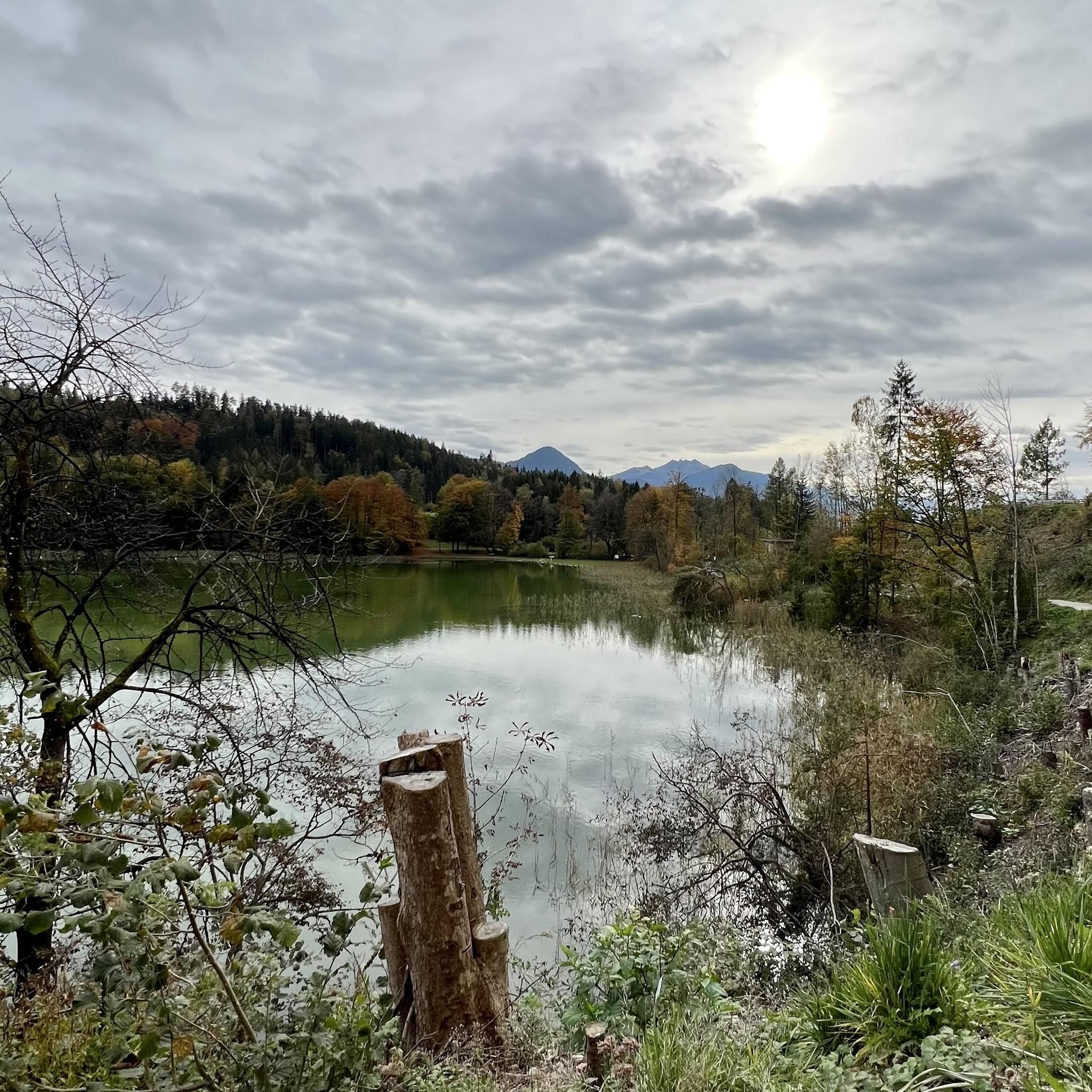
Cycling around Kramsach
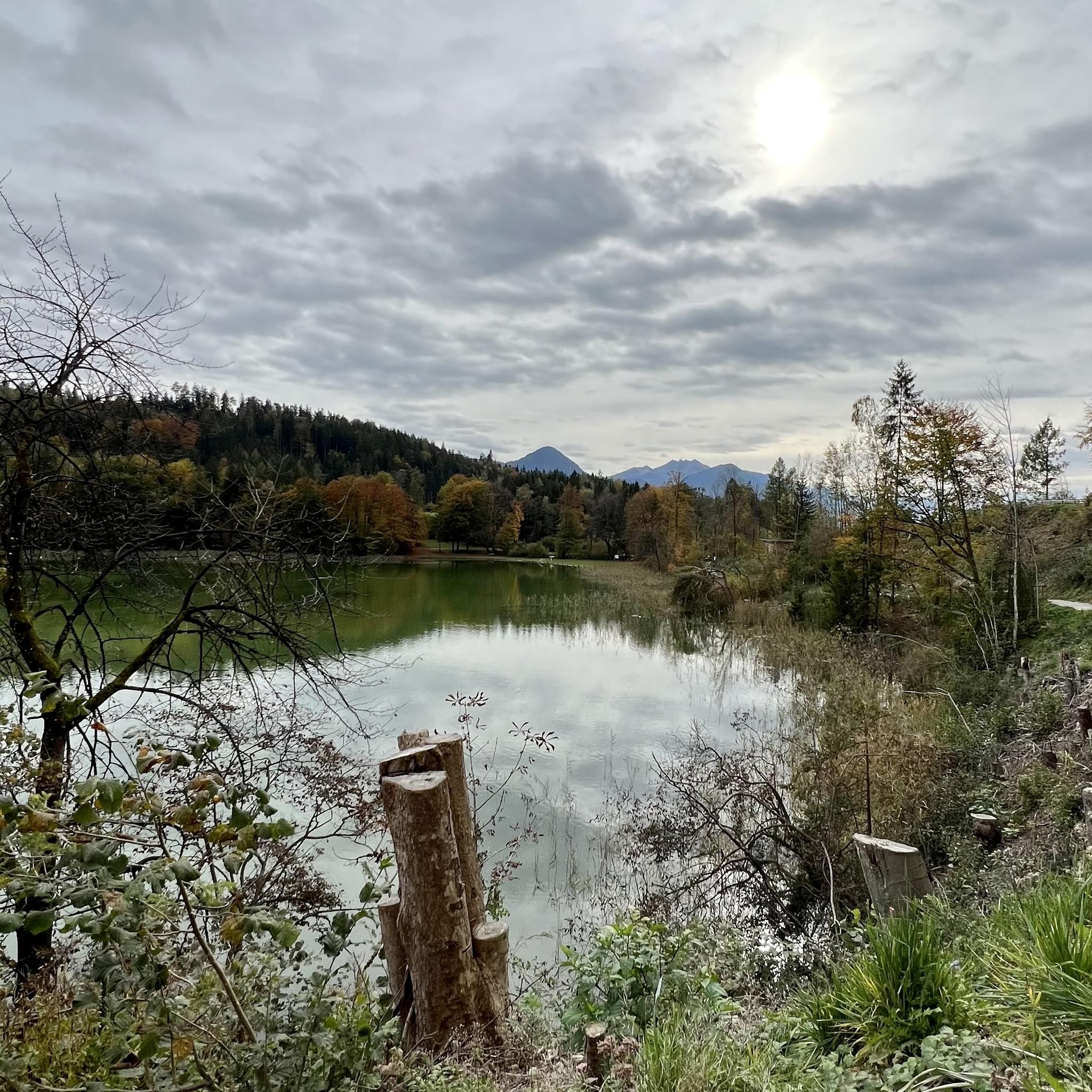
Road Cycling Routes around Kramsach
Other adventures around Kramsach


Tips from the Community

You can eat well here 👌
0
0

The climb is worth it: from up here, the water of the Reintaler See looks even more turquoise.
0
0

The Reintalersee in Alpbachtal is one of the warmest swimming lakes in Tyrol and a perfect destination for a relaxed tour. The circular path leads around the lake and is suitable for a leisurely bike ride. Along the way, there are beautiful views of the water and the surrounding mountains – also perfect for a swimming break in the summer.
0
0

Great area, great campsites, great trips 🤗
1
0

In just a few minutes you walk through a small depression from the eastern to the northern summit cross, where you can see a part of Brandenberg.
0
0

Easy trail with beautiful views of the lake
1
1

The small municipal area extends above the Inn Valley (Inntal) east of Innsbruck, at the foot of the Brandenberg Alps. Situated at an altitude of 575 m, Mariastein, nestled in the vast forests along the Inn, is one of the most famous pilgrimage sites in Tyrol.
2
0
Frequently Asked Questions
How many mountaineering routes are available around Kramsach?
Kramsach offers a diverse range of mountaineering experiences with over 15 routes. These include a mix of easy, moderate, and challenging trails, ensuring options for various skill levels.
Are there any easy mountaineering routes suitable for beginners in Kramsach?
Yes, Kramsach provides several routes suitable for those new to mountaineering. There are 4 easy routes and 2 moderate routes that offer a gentler introduction to the region's beautiful mountain landscapes.
What are some challenging mountaineering routes for experienced hikers in Kramsach?
For experienced mountaineers, Kramsach features 10 difficult routes. One challenging option is the View of the Zillertal Valley – Voldöppberg loop from Radfeld, which covers nearly 16 km and involves significant elevation gain, offering expansive views of the Zillertal Valley.
Are there any circular mountaineering routes around Kramsach?
Many of the mountaineering routes in Kramsach are circular, allowing you to start and end at the same point. An example is the View of Lake Reintal – View of the Reintaler See loop from Radfeld, a difficult 8 km trail that takes about 3.5 hours to complete.
What natural landmarks or viewpoints can I expect to see on these routes?
The routes often feature stunning natural landmarks. You can encounter the pristine bathing lakes like Lake Reintal and Krummsee, or dramatic gorges such as the Tiefenbach Gorge and Kaiserklamm. Many trails also offer panoramic viewpoints of the Rofan mountains and the Zillertal Valley.
Are there any routes that pass by waterfalls?
Yes, the region's rugged beauty includes several gorges carved by the Brandenberger Ache River, where you might encounter waterfalls. For instance, the Waterfall in the Klamm is a notable highlight within one of the gorges near Kramsach.
What is the typical duration for mountaineering routes in Kramsach?
The duration varies significantly depending on the route's length and difficulty. Shorter, more accessible routes might take a couple of hours, while longer, difficult trails like the Mountain rescue hut – Herrgottstein Shrine loop from Kramsach can take nearly 6 hours to complete.
Is Kramsach suitable for family-friendly mountaineering?
While many mountaineering routes are challenging, Kramsach also offers easier hiking paths and other outdoor activities that are suitable for families. For mountaineering specifically, look for the 4 easy-rated routes, which provide a less strenuous experience for families with some hiking experience.
Are dogs allowed on the mountaineering trails in Kramsach?
Generally, dogs are welcome on hiking and mountaineering trails in the Kramsach region, but it's always advisable to keep them on a leash, especially in nature protection areas or near livestock. Ensure your dog is fit enough for the chosen route and carry enough water for both of you.
Where can I find parking at the trailheads for mountaineering routes?
Parking is typically available near popular trailheads in Kramsach and surrounding villages like Radfeld or Rattenberg. Specific parking information can often be found on individual route descriptions or local tourism websites.
What do other mountaineers say about the routes in Kramsach?
The mountaineering routes in Kramsach are highly rated by the komoot community, with an average score of 4.5 stars from over 30 reviews. Reviewers often praise the diverse terrain, stunning lake views, and the challenging yet rewarding ascents in the Rofan mountains.
Are there any alpine huts or cafes along the mountaineering routes?
Yes, some longer routes or those leading to higher elevations may pass by alpine huts where you can rest and refuel. For example, the Erfurter Hut is a notable spot in the peaks around Kramsach. Additionally, cafes are available in the villages near the trailheads.
What is the best time of year for mountaineering in Kramsach?
The best time for mountaineering in Kramsach is typically from late spring to early autumn (May to October), when the weather is most stable and trails are clear of snow. Summer offers warmer temperatures, while spring and autumn provide pleasant conditions with fewer crowds and vibrant foliage.
Can I reach the mountaineering trailheads using public transport?
Kramsach and the Alpbachtal Valley have public transport options, including bus services, that connect the villages. It is often possible to reach trailheads or starting points for routes via public transport, though specific connections should be checked for your chosen route.
Are there any routes that offer views of both Lake Reintal and Krummsee?
Yes, the View of Lake Reintal – View of the Reintaler See loop from Toteisloch am Krummsee is a difficult 5.5 km path that specifically provides views of both Lake Reintal and the smaller Krummsee, showcasing the region's beautiful 'village of lakes' characteristic.
Most popular routes around Kramsach
Most popular attractions around Kramsach

Get inspired with the komoot mobile app


Explore more
Browse the best Mountain Hikes & Routes in other regions.
