The best mountain hikes around Hinterhornbach
4.8
(1010)
6,754
hikers
181
hikes
Mountaineering routes around Hinterhornbach are situated in the heart of the Lechtal Alps, a range characterized by rugged limestone peaks, deep valleys, and alpine meadows. The region features significant elevation changes, with many routes ascending above 2,000 meters, offering expansive views. Dense coniferous forests often line the lower slopes, transitioning to rocky, exposed terrain at higher altitudes.
Best mountaineering routes around Hinterhornbach
- The most popular mountaineering route is Bretterspitze Summit (2,608 m) – Kaufbeurer Hut loop from Hinterhornbach, a…
Last updated: June 26, 2026
4.8
(21)
133
hikers
12.1km
07:32
1,340m
1,350m
Hard mountaineering route. Very good fitness required. Sure-footedness, sturdy shoes and alpine experience required.
4.9
(19)
116
hikers
16.2km
09:06
1,540m
1,540m
Hard mountaineering route. Very good fitness required. Sure-footedness, sturdy shoes and alpine experience required.

Sign up for free
5.0
(11)
56
hikers
15.1km
06:57
1,090m
1,090m
Hard mountaineering route. Very good fitness required. Sure-footedness, sturdy shoes and alpine experience required.
5.0
(1)
32
hikers
8.36km
04:57
900m
900m
Hard mountaineering route. Good fitness required. Sure-footedness, sturdy shoes and alpine experience required.
5.0
(1)
17
hikers
Hard mountaineering route. Good fitness required. Sure-footedness, sturdy shoes and alpine experience required.
Get access to more routes and recommendations from other explorers.
Sign up for free
Already have an account?
Our route recommendations are based on thousands of hikes, rides, and runs completed by other people on komoot.
Start today with a free account
Your next adventure awaits.
Login or Signup
Popular around Hinterhornbach

Ibex Tour extended – Crossing the Allgäu Alps
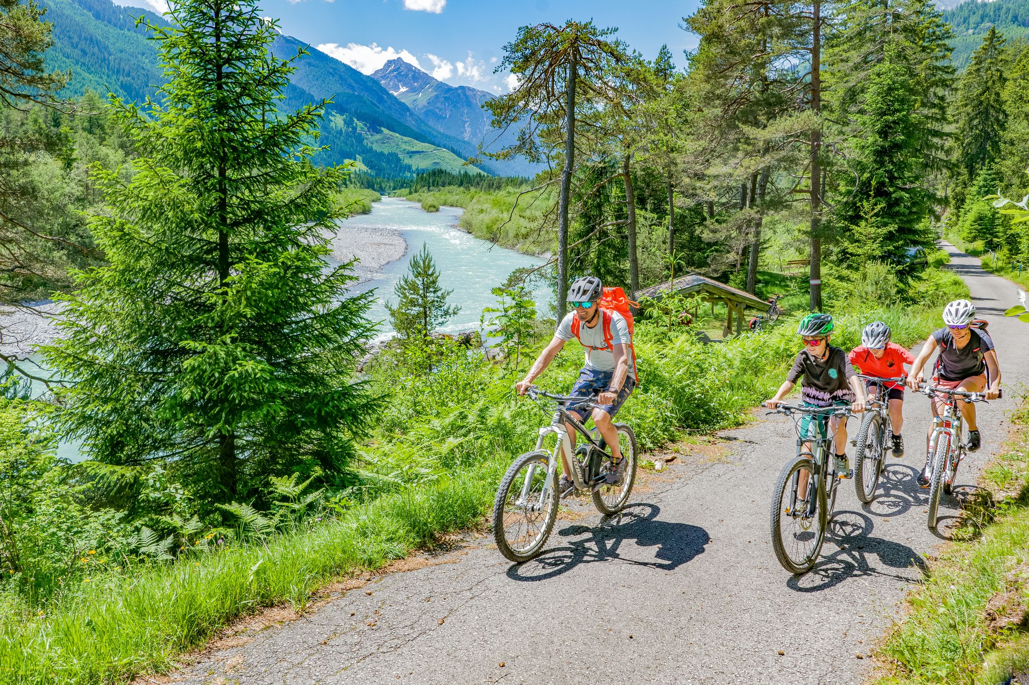
Cycling in the Tyrolean Lech Valley – 10 varied routes along the wild Lech river

Hiking without borders – mountainous Tours in Germany and Austria
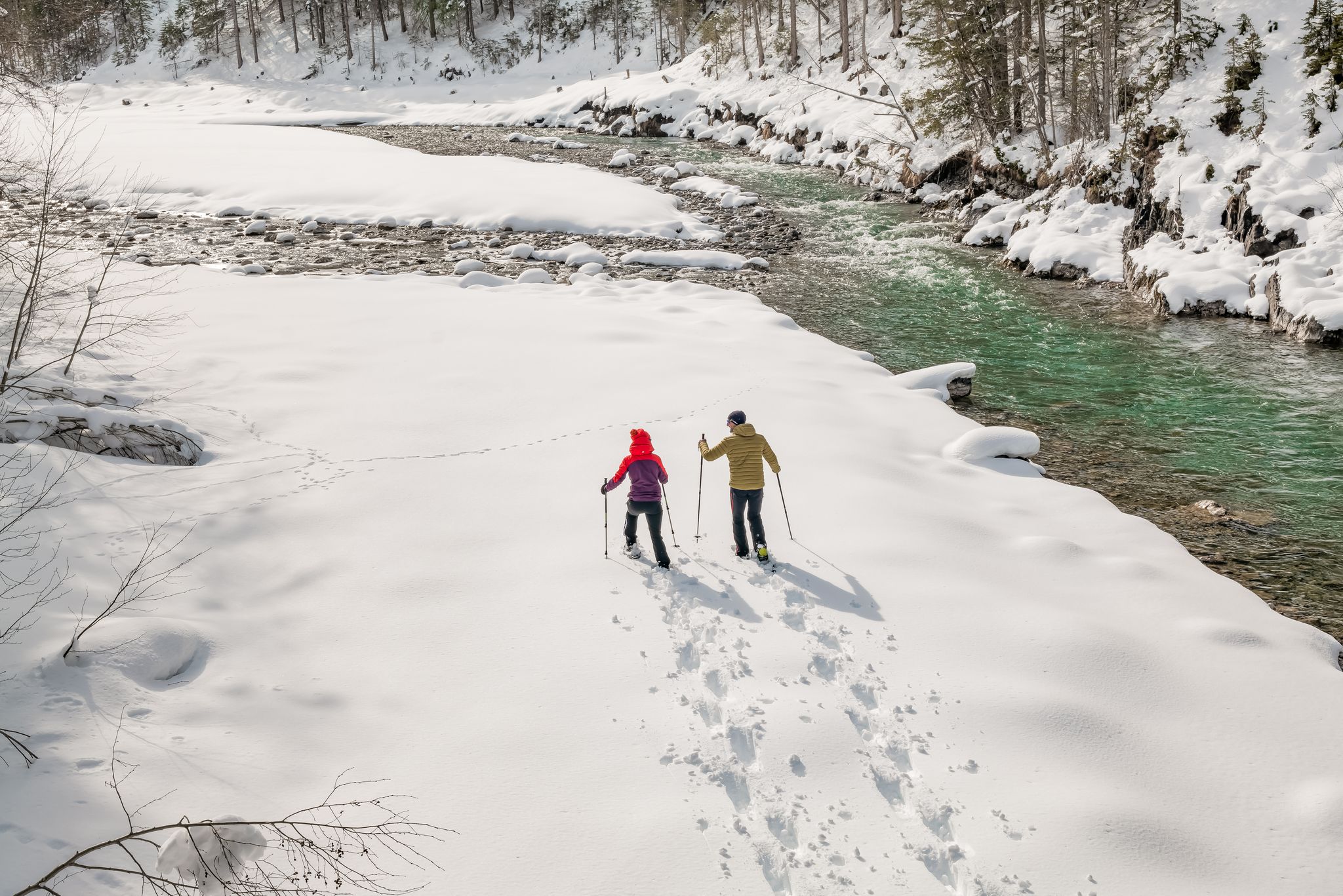
Winter hiking along the last wild river landscape in Europe – Tyrolean Lech Valley
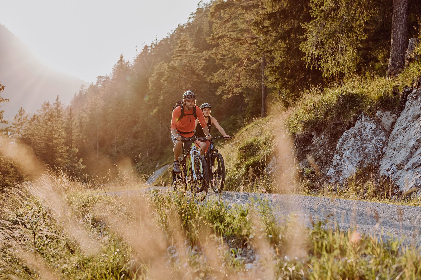
Alpine panorama and mountain huts – nature biking in Germany’s Allgäu
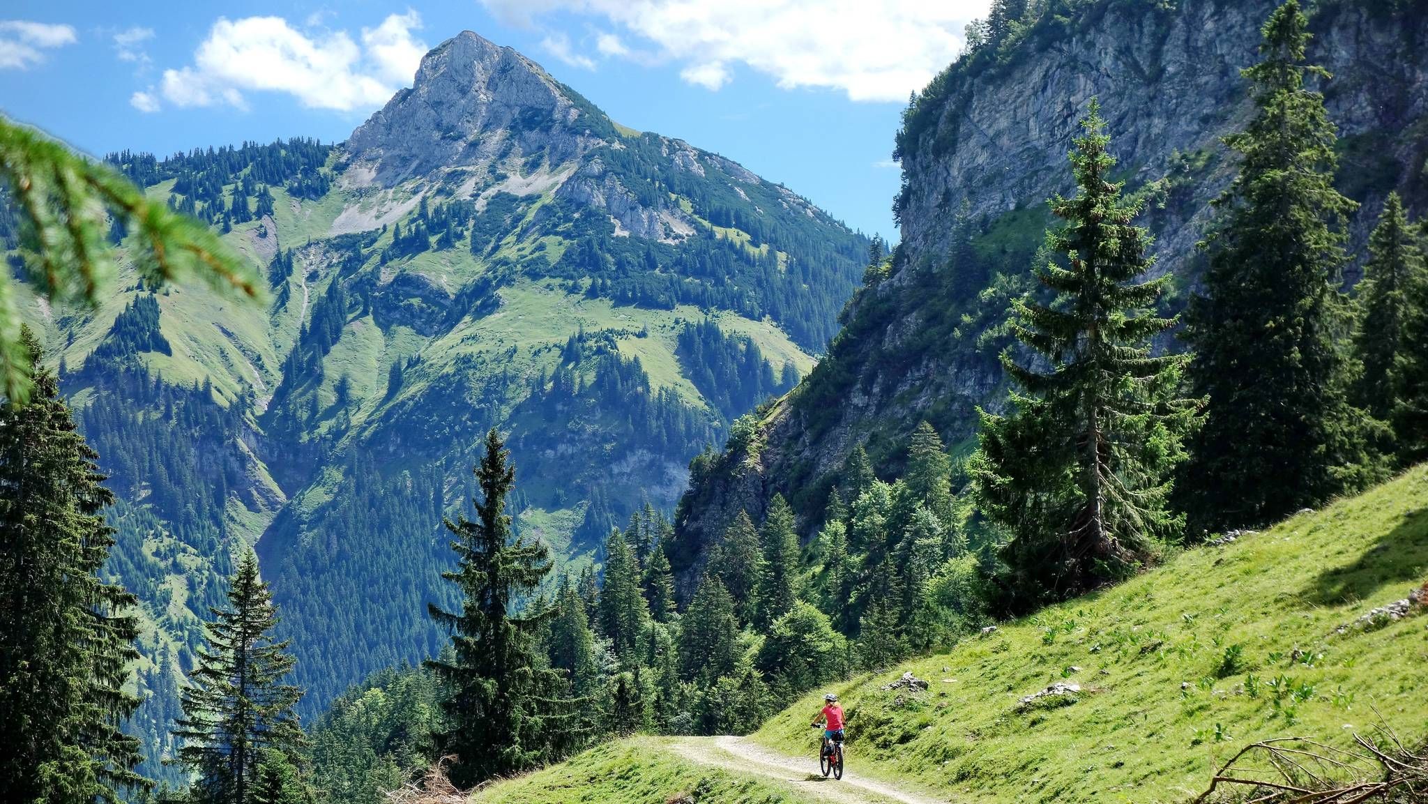
MTB fun around Austria’s Tannheim Valley
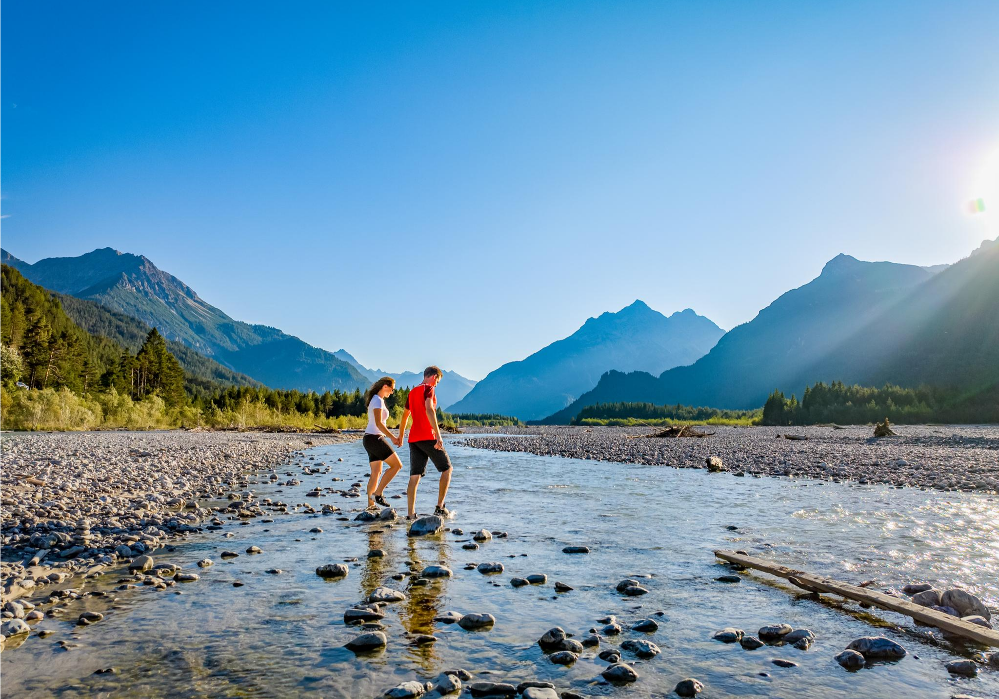
A river that runs wild – hiking in Austria’s Lechtal Valley
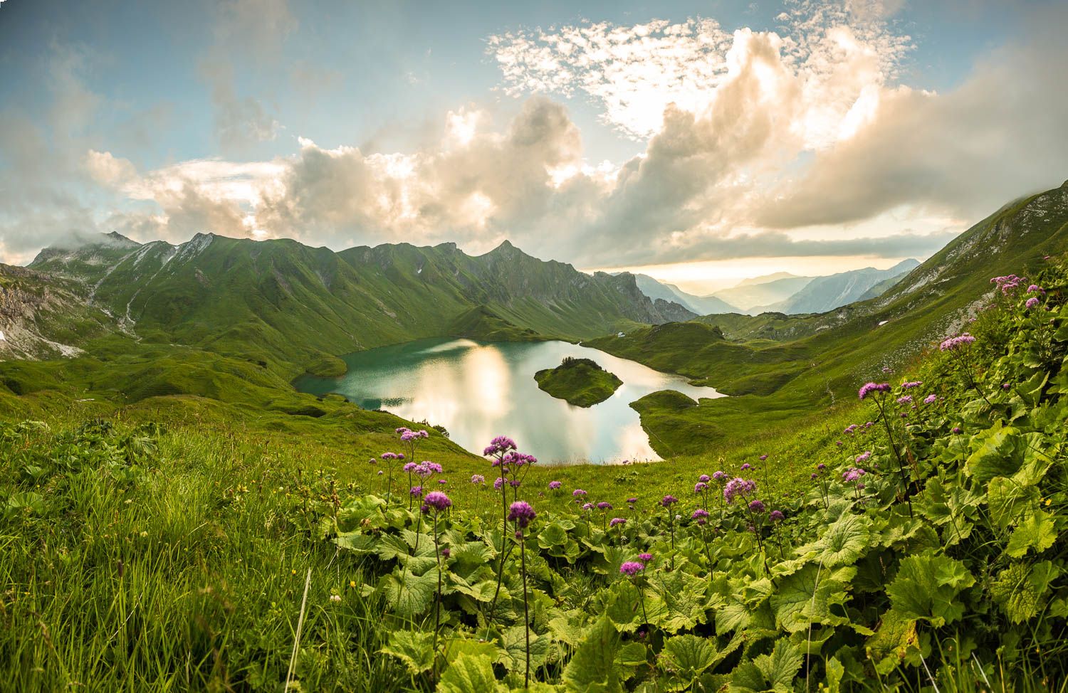
Grenzgänger – 6 Days Long Distance Hiking in Tannheimer Tal
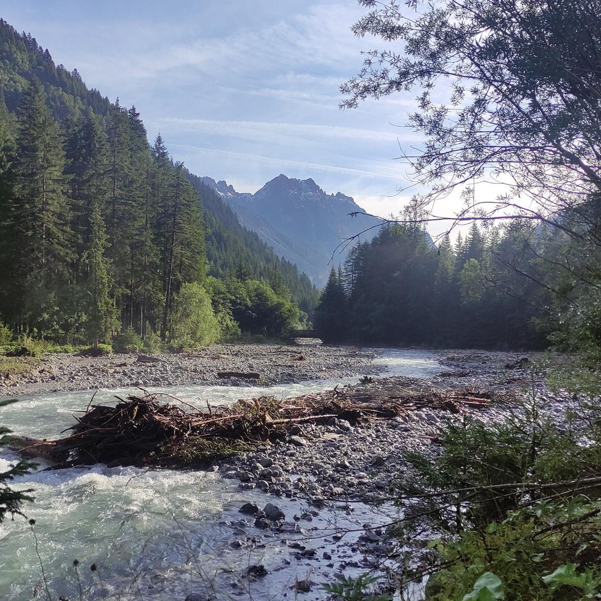
MTB Trails around Hinterhornbach
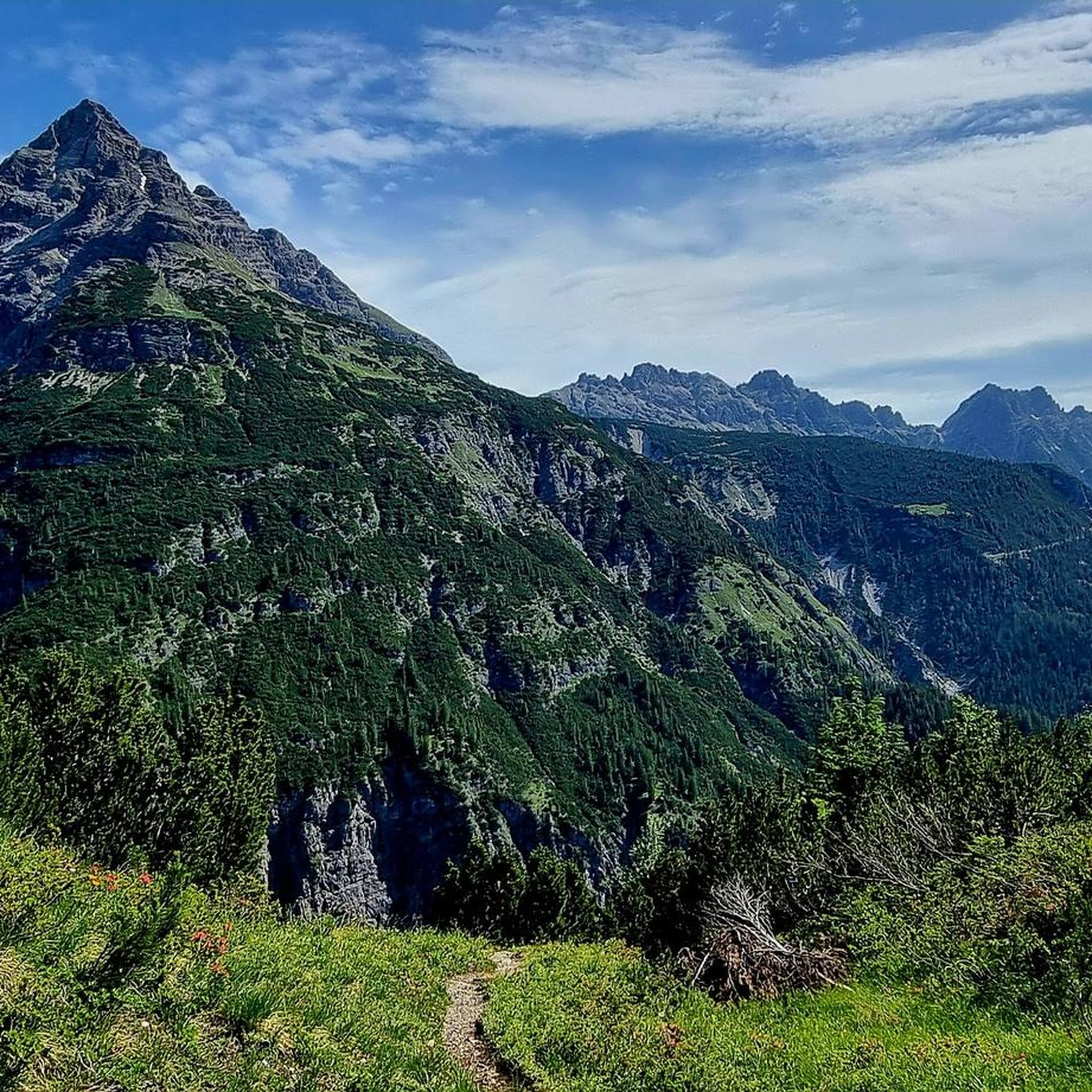
Cycling around Hinterhornbach
Other adventures around Hinterhornbach


Tips from the Community

By August 2025, the Kalte Winkel will be completely snow-free, except for a tiny remnant at the end of the cirque. It's hard to imagine that there was a glacier here in the 19th century...
2
0
"Covered" band under a secondary peak of the Hochvogel, from here you can also see the "layering" of the mountain
0
0

Self-catering hut of the DAV Allgäu-Immenstadt section. Open on summer weekends.
1
0

Very nice hiking trail. And I definitely recommend the Prinz Luipold House.
0
0

The translation is slightly misleading. It is definitely possible for experienced hikers with climbing experience, but inexperienced hikers should avoid it.
1
0
@Tobi The complete route? Is the rubble deep?
2
0

Currently snow-free, as of September 4th, 2023
1
0

Frequently Asked Questions
What is the general difficulty level of mountaineering routes around Hinterhornbach?
The mountaineering routes around Hinterhornbach primarily cater to experienced mountaineers, with the majority being classified as difficult. Out of over 180 available routes, 138 are difficult, 44 are moderate, and a few are easier, offering options for various skill levels.
Are there any easier mountaineering routes suitable for beginners in Hinterhornbach?
While most routes are challenging, there are a few easier options. For instance, the Kaufbeurer Hut loop from Hinterhornbach is a moderate route that provides a good introduction to the alpine environment without the extreme demands of the more difficult summits.
What are some of the most challenging mountaineering routes in the Hinterhornbach area?
For experienced mountaineers seeking a challenge, routes like the Hochvogel summit – Schnur Rock Ledge loop from Hinterhornbach offer demanding ascents and exposed alpine terrain. Another difficult option is the Prinz Luitpold Haus – Wiedemerkopf Summit loop from Prinz-Luitpold-Haus, known for its steep sections and high alpine exposure.
What is the typical length and duration of mountaineering routes in Hinterhornbach?
Mountaineering routes in Hinterhornbach vary significantly in length and duration. Many of the more challenging routes, such as the View of the Lechtal Alps – Jochspitze Summit (2,236 m) loop from Hinterhornbach, can be around 9.6 miles (15.5 km) long and take approximately 7 hours to complete. Shorter, moderate routes like the Kaufbeurer Hut loop from Hinterhornbach are about 5.1 miles (8.2 km) and can be done in about 5 hours.
Are there any circular mountaineering routes available around Hinterhornbach?
Yes, many of the mountaineering routes in Hinterhornbach are designed as circular loops, allowing you to start and end at the same point. Examples include the popular Bretterspitze Summit (2,608 m) – Kaufbeurer Hut loop from Hinterhornbach and the Hochvogel summit – Schnur Rock Ledge loop from Hinterhornbach.
When is the best time of year to go mountaineering in Hinterhornbach?
The prime season for mountaineering in the Lechtal Alps around Hinterhornbach is typically from late spring (June) through early autumn (September/October). During this period, snow has usually melted from higher elevations, and weather conditions are generally more stable, offering better visibility and safer passage.
Are there any interesting natural attractions or landmarks to see along the mountaineering routes?
Yes, the region offers stunning natural beauty. Along and near the routes, you can discover highlights such as the Oytal Valley, the impressive Faltenbach Gorge Waterfalls, and the scenic Gaisalpbachtobelweg. These provide excellent points of interest during your mountaineering adventures.
Are there any mountain huts or places to stop for refreshments along the trails?
Yes, several mountain huts are located within reach of the mountaineering routes, offering places to rest, eat, or even stay overnight. Notable huts include the Gaisalpe Mountain Inn and the Rappensee Hut, providing essential services in the high alpine environment.
What do other mountaineers enjoy most about the routes in Hinterhornbach?
The komoot community highly rates the mountaineering routes in Hinterhornbach, with an average score of 4.8 stars from over 1,000 reviews. Mountaineers frequently praise the breathtaking panoramic views from summits like Bretterspitze and Hochvogel, the challenging yet rewarding ascents, and the pristine, rugged beauty of the Lechtal Alps.
Is parking available at the trailheads for mountaineering routes in Hinterhornbach?
Yes, parking is generally available at or near the main trailheads in Hinterhornbach, especially for popular routes. However, during peak season, spaces can fill up quickly, so it's advisable to arrive early, particularly for longer or more popular tours.
Can I bring my dog on the mountaineering trails around Hinterhornbach?
Dogs are generally permitted on mountaineering trails in the Lechtal Alps. However, it is crucial to keep them on a leash, especially in alpine pastures where livestock may be present, and to ensure they are well-behaved and physically capable of handling the strenuous terrain. Always carry enough water for your dog.
Do I need a permit for mountaineering in the Hinterhornbach region?
Generally, no specific permits are required for mountaineering on the established trails in the Hinterhornbach region of the Lechtal Alps. However, it's always wise to check for any local regulations or temporary restrictions, especially if you plan to enter protected areas or nature reserves.
Most popular routes around Hinterhornbach
Most popular attractions around Hinterhornbach

Get inspired with the komoot mobile app


Explore more
Browse the best Mountain Hikes & Routes in other regions.
