Weston Under Wetherley
Weston Under Wetherley
The best road cycling routes around Weston Under Wetherley
4.4
(454)
12,397
riders
519
rides
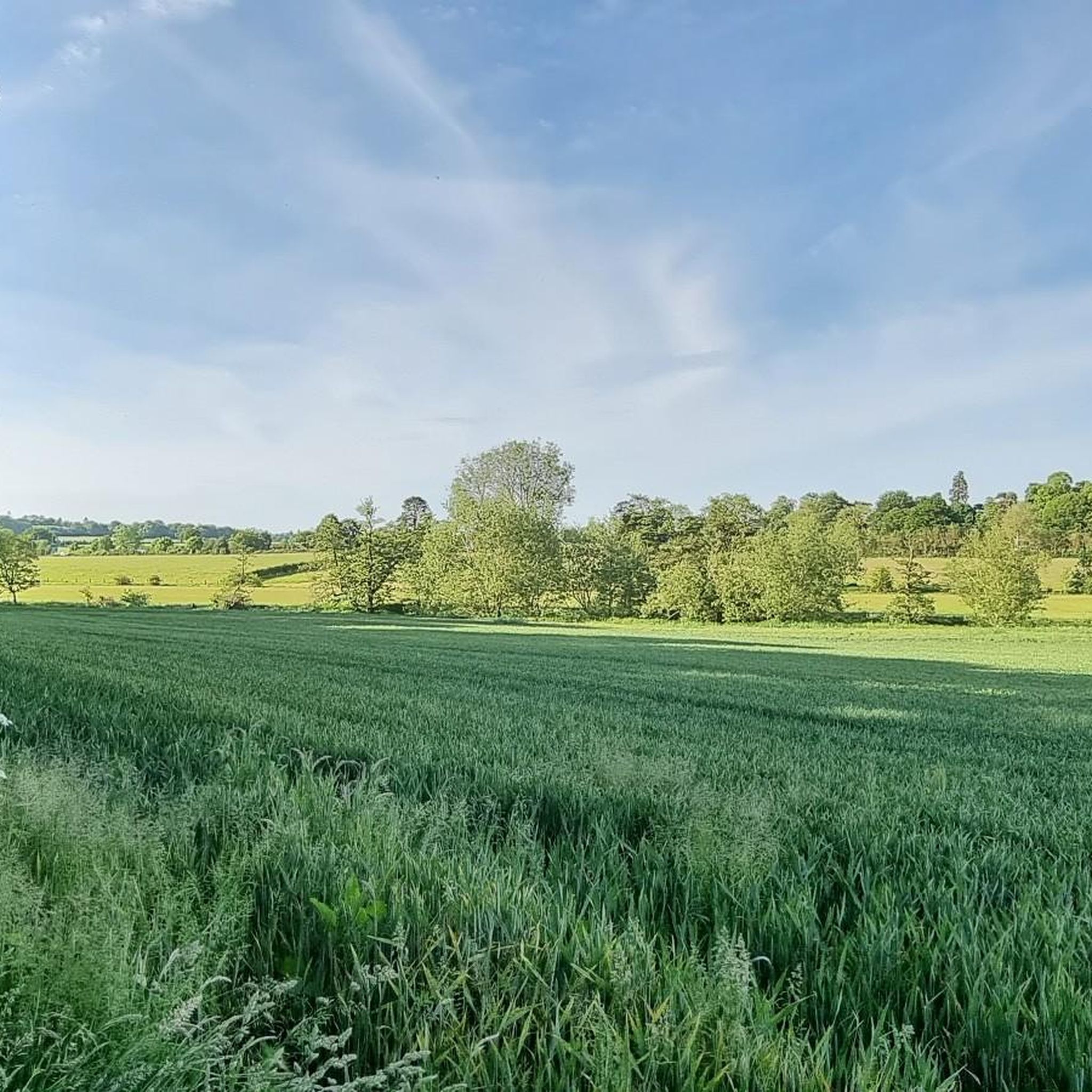
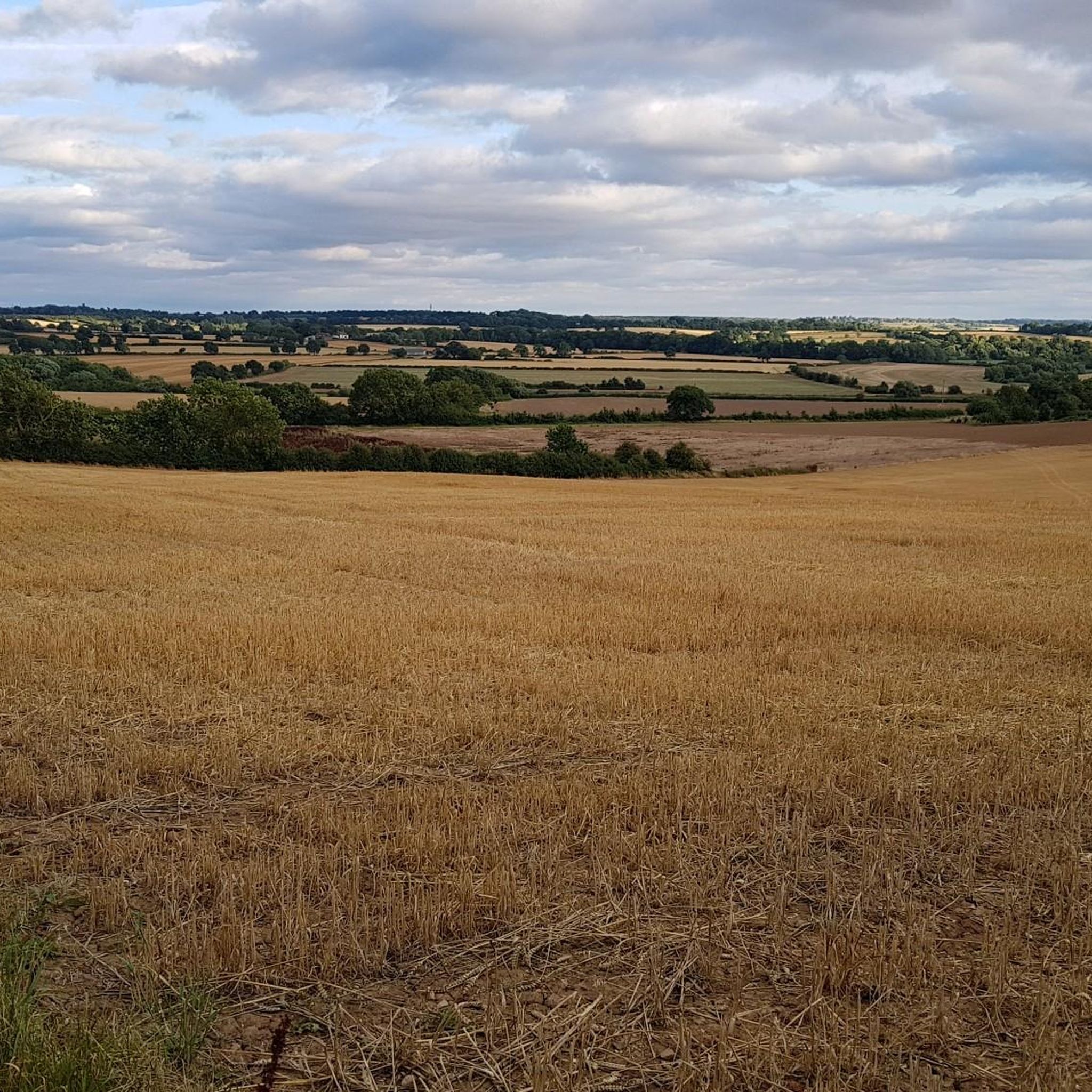
Road cycling routes around Weston Under Wetherley traverse the scenic Warwickshire countryside, characterized by a mix of flat sections, undulating terrain, and short climbs. The region features a network of country lanes, some offering a rural feel with minimal vehicle traffic, alongside dedicated cycle paths. These routes often pass through picturesque landscapes, including views of hedgerows, pastures, and local villages.
Best road cycling routes around Weston Under Wetherley
- The most popular road cycling route is The Red Lion, Hunningham loop…
Last updated: July 12, 2026
4.0
(2)
102
riders
Moderate road ride. Good fitness required. Some segments of this route may be unpaved and difficult to ride.
4.5
(2)
25
riders
18.9km
00:49
120m
120m
Easy road ride. Great for any fitness level. Mostly well-paved surfaces and easy to ride.

Sign up for free
46
riders
37.9km
01:38
310m
310m
Moderate road ride. Good fitness required. Mostly well-paved surfaces and easy to ride.
22
riders
29.8km
01:18
210m
210m
Moderate road ride. Great for any fitness level. Some segments of this route may be unpaved and difficult to ride.
14
riders
Easy road ride. Great for any fitness level. Mostly well-paved surfaces and easy to ride.
Get access to more routes and recommendations from other explorers.
Sign up for free
Already have an account?
Our route recommendations are based on thousands of hikes, rides, and runs completed by other people on komoot.
Start today with a free account
Your next adventure awaits.
Login or Signup

Tips from the Community


Located 400 meters north of the church, Hunningham Bridge is a stone arch bridge that crosses the River Leam and has its origins in the Medieval period. Interestingly, it was rebuilt in 1651 at a cost of 20 pounds.
1
0

A fine example of a Warwickshire town. Lovely old town centre with plenty of options for refreshments.
1
0

Blackdown Mill, a watermill for which there are documentary records from the Medieval period. It was in use until the 1920s and the waterwheel and some of the machinery survive. It is on the south side of Hill Wootton Road. A mill, probably this site, is recorded in 1086. Later it became the property of Coombe Abbey. Information on ownership exists for the 16th to 20th centuries. The mill operated until the mid 1920s. The buildings are now the premises of an antiques dealer. The mill is a mixture of 18th and 19th century buildings. The older part is a three-storey brick structure with a large wooden extension housing the waterwheel. The appearance of this building has been considerably altered this century. The waterwheel is in place, but most of the machinery has been removed. In the yard behind the mill are traces of a steam engine which was installed in the mid 19th century.
0
0
The Lunt Roman Fort is the archaeological site of a Roman fort, of unknown name, in the Roman province of Britannia. It is open to the public and located in the village of Baginton on the south eastern outskirts of Coventry. The fort has now been fully excavated and partially reconstructed; the wooden gateway rebuild was led by archaeologist Margaret Rylatt, using the same tools and techniques that the military engineers of the Roman Army would have used. In 2001, Anglo Saxon artefacts dating to Sub-Roman Britain were discovered on the site. Four periods of occupation of the fort during periods of unrest in Roman Britain have been identified by excavation. The fort was built around AD 60 to act as a supply depot and headquarters for an unknown legion during the final campaign against Boudica. From AD 64 it was used, in the second phase, by a cohort which reduced the size of the fort, but from which the principia, praetorium, two granaries and six barrack blocks have been excavated. A number of buildings were demolished to construct a gyrus.[citation needed] Many horse fittings, possible stabling, an extensive metalworking area, granary and storage space suggests a cavalry unit was present at this time. This second phase lasted until AD 77/8. The third period of AD 77/78-79 included construction of a double ditch system, a twin-portalled gateway on the south and occupation outside the defences until the fort was decommissioned. After AD 260, perhaps during the rebel Gallic Empire, it was recommissioned as a temporary fort with ditches on a similar alignment but slightly larger than that of Period 2. Gyrus The north, south and west sides followed the usual pattern for a Roman camp of straight ditches and ramparts. However, on the eastern side the defences bulge out around a circular structure with a diameter of 32 m (105 ft). The sand and gravel subsoil had been dug out to a depth of 600 to 900 mm (24 to 35 in) and the area surrounded with a timber stockade. This ring, the only known "gyrus" in the Roman Empire, may have been used for training horses. The gyrus was added to the fort during its second period of occupation and its construction caused significant disruption to the fort. Having the gyrus within the fort affects not just the wall which curves to accommodate the structure deviating from the Roman playing card shape pattern but also the layout of the fort which is significantly different from the standard layout. This makes the fort unique not just in Britain but also in the Roman Empire.
0
0


Always love it went I cross a county line, I sometimes forget where I am and these help remind me.
0
0
Frequently Asked Questions
How many road cycling routes are available around Weston Under Wetherley?
There are over 500 road cycling routes around Weston Under Wetherley, catering to various skill levels. You'll find a diverse network of country lanes and dedicated cycle paths to explore.
What kind of terrain can I expect on road cycling routes in this area?
The terrain around Weston Under Wetherley offers a mix of experiences. You'll encounter flat sections, gentle downhill slopes, and undulating parts with short, 'spikey climbs.' Many routes provide a real rural feel with minimal vehicle traffic on country roads, offering views of cattle, hedgerows, and pastures.
Are there any easy or family-friendly road cycling routes?
Yes, there are many easy routes suitable for families. For instance, the 8km (5-mile) flat, scenic loop around Draycote Water on tarmac tracks is ideal for all fitness levels. The The Red Lion, Hunningham – Jason Fryers' Wood Carvings loop from Bubbenhall is another easy option, providing a pleasant rural experience.
What are some notable landmarks or natural features I can see along the cycling routes?
Many routes pass through picturesque landscapes and near interesting sites. You can cycle past Draycote Water, a large reservoir popular for its views and bird life. Other natural highlights include the tranquil woodlands and lakes of Ryton Pools Country Park, and the diverse wildlife of Leam Valley Local Nature Reserve. Historically, areas connected to George Eliot and sites like Kenilworth Castle are also nearby.
Where can I find parking for road cycling routes in Weston Under Wetherley?
Parking is available at several key locations. Draycote Water offers ample parking for cyclists accessing its loop and surrounding routes. Ryton Pools Country Park also provides parking and serves as a starting point for various trails. For routes starting directly from villages, local public car parks may be available.
Are there cafes or pubs along the cycling routes for refreshments?
Yes, you'll find convenient amenities along many routes. Draycote Water has a café, and Ryton Pools Country Park offers picnic areas. The broader Warwickshire area, including routes like the North Warwickshire Cycle Way Red Route and the Lias Line, features charming villages with pubs and cafes where you can stop for refreshments.
What is the best time of year to go road cycling around Weston Under Wetherley?
Warwickshire offers pleasant cycling conditions for much of the year. Spring and summer are particularly popular due to warmer weather and blooming wildflowers, especially in areas like Draycote Meadows Nature Reserve. Autumn provides beautiful scenery with changing foliage. While winter cycling is possible, be mindful of road conditions.
Are there any circular road cycling routes in the area?
Yes, many routes are designed as loops. A prominent example is the 8km (5-mile) circular route around Draycote Water. Other routes, such as The Red Lion, Hunningham loop from Hunningham, also offer circular journeys through the scenic countryside.
What do other road cyclists enjoy most about cycling in Weston Under Wetherley?
The area is highly rated by the komoot community, with an average score of 4.3 stars from over 330 reviews. Cyclists often praise the picturesque landscapes, the mix of flat and undulating country lanes, and the diverse natural features that make for an engaging ride. The quiet rural feel of many sections is also frequently highlighted.
Are there routes that connect to other towns or points of interest?
Absolutely. The Lias Line Greenway, for example, connects Rugby and Leamington Spa, passing through charming villages and wildlife reserves. The North Warwickshire Cycle Way Red Route also offers a comprehensive tour through the borough, linking various scenic spots and historical areas.
Can I find routes with significant elevation gain for a more challenging ride?
While many routes feature gentle undulations, some offer more challenging sections with 'spikey climbs.' For instance, the View of Welsh Road – The Red Lion, Hunningham loop from Hunningham includes varied countryside with notable elevation changes, providing a good workout for those seeking more demanding rides.
Is there public transport access to cycling routes?
Warwickshire County Council is committed to improving cycling infrastructure, which includes better connectivity. While specific public transport links directly to trailheads may vary, major towns like Rugby and Leamington Spa, which are connected by routes like the Lias Line, are well-served by public transport, allowing access to the wider cycling network.
Most popular attractions around Weston Under Wetherley

Get inspired with the komoot mobile app


Explore more
Browse the best Road cycling routes in other regions.
