The best running trails around Altenmarkt bei Sankt Gallen
4.0
(4)
140
runners
19
runs
Jogging routes around Altenmarkt bei Sankt Gallen traverse a diverse landscape nestled within the Ennstal Alps. The region features green meadows, dense forests, and varied waterways, providing a scenic backdrop for running. Terrain ranges from gentle paths along valleys to more challenging ascents through alpine areas, offering a mix of experiences for runners.
Best jogging routes around Altenmarkt bei Sankt Gallen
- The most popular jogging route is Running loop from Naturpark Eisenwurzen, a 7.0 miles (11.3 km) trail that takes 2 hours 25 minutes to complete, offering views within the Naturpark Steirische Eisenwurzen.
- Another top favourite among local runners is Stumpfmauer loop from Wenten, a difficult 6.7 miles (10.8 km) path. This route features significant elevation gain, providing panoramic views of the surrounding alpine landscape.
- Local runners also love the Gasthof Hensle loop from Sankt Gallen, a 5.3 miles (8.5 km) trail leading through local forests and valleys, often completed in about 54 minutes.
- Jogging around Altenmarkt bei Sankt Gallen is defined by alpine scenery, lush forests, and diverse waterways. The network offers options for different ability levels, from easy paths to difficult mountain trails.
- The routes in Altenmarkt bei Sankt Gallen are highly rated by the komoot community with an average score of 4.0 stars from more than 4 reviews. More than 160 runners have used komoot to explore Altenmarkt bei Sankt Gallen's varied terrain.
Last updated: July 1, 2026
14
runners
10.8km
02:35
1,130m
1,130m
Hard run. Very good fitness required. Sure-footedness, sturdy shoes and alpine experience required.
12
runners
10.5km
01:07
150m
150m
Moderate run. Good fitness required. Mostly paved surfaces. Suitable for all skill levels.

Sign up for free
11
runners
5.39km
00:34
40m
40m
Moderate run. Good fitness required. Mostly paved surfaces. Suitable for all skill levels.
5
runners
8.33km
00:57
190m
190m
Moderate run. Good fitness required. Mostly paved surfaces. Suitable for all skill levels.
3.0
(1)
8
runners
5.34km
00:34
40m
40m
Moderate run. Good fitness required. Mostly paved surfaces. Suitable for all skill levels.
Get access to more routes and recommendations from other explorers.
Sign up for free
Already have an account?
Our route recommendations are based on thousands of hikes, rides, and runs completed by other people on komoot.
Start today with a free account
Your next adventure awaits.
Login or Signup
Popular around Altenmarkt bei Sankt Gallen

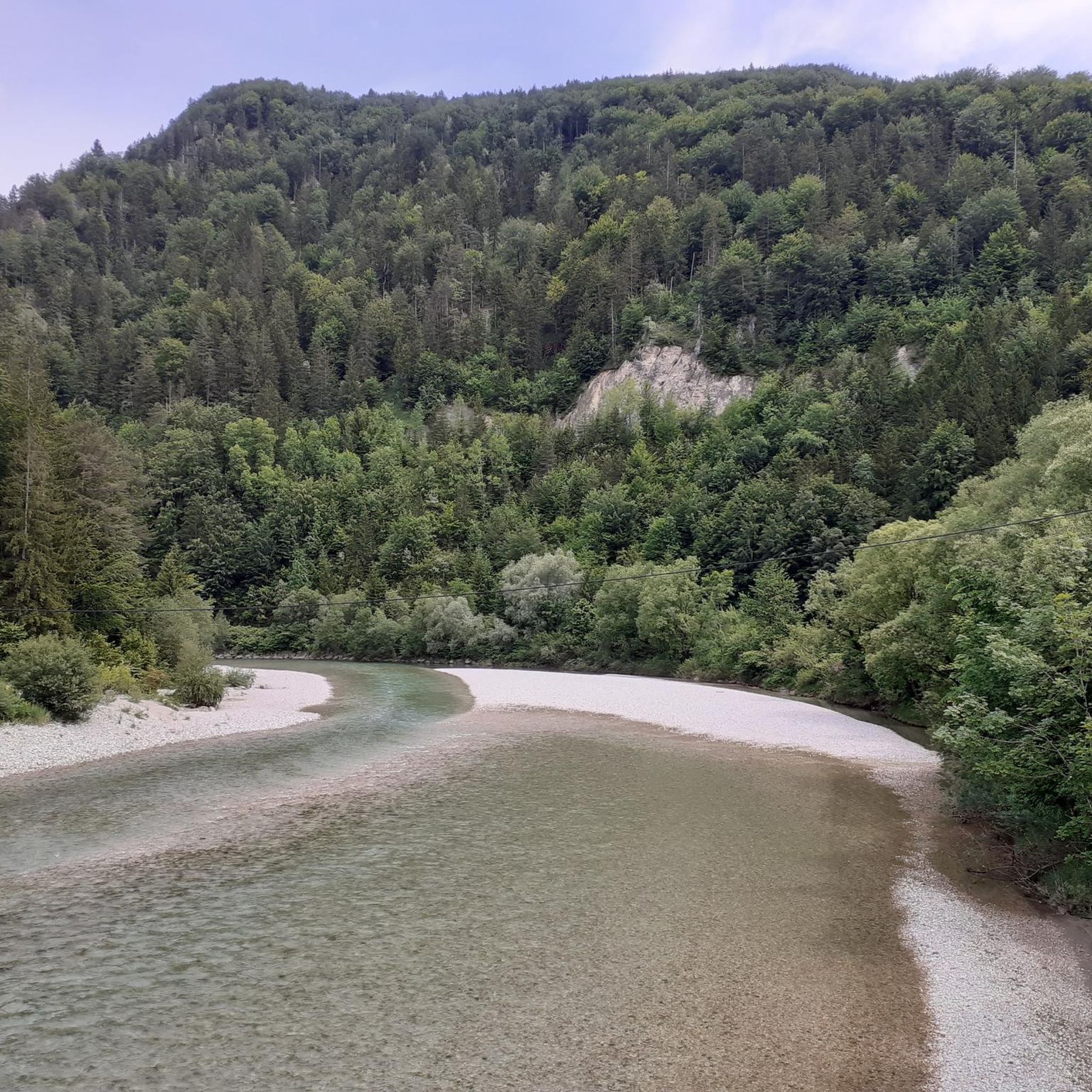
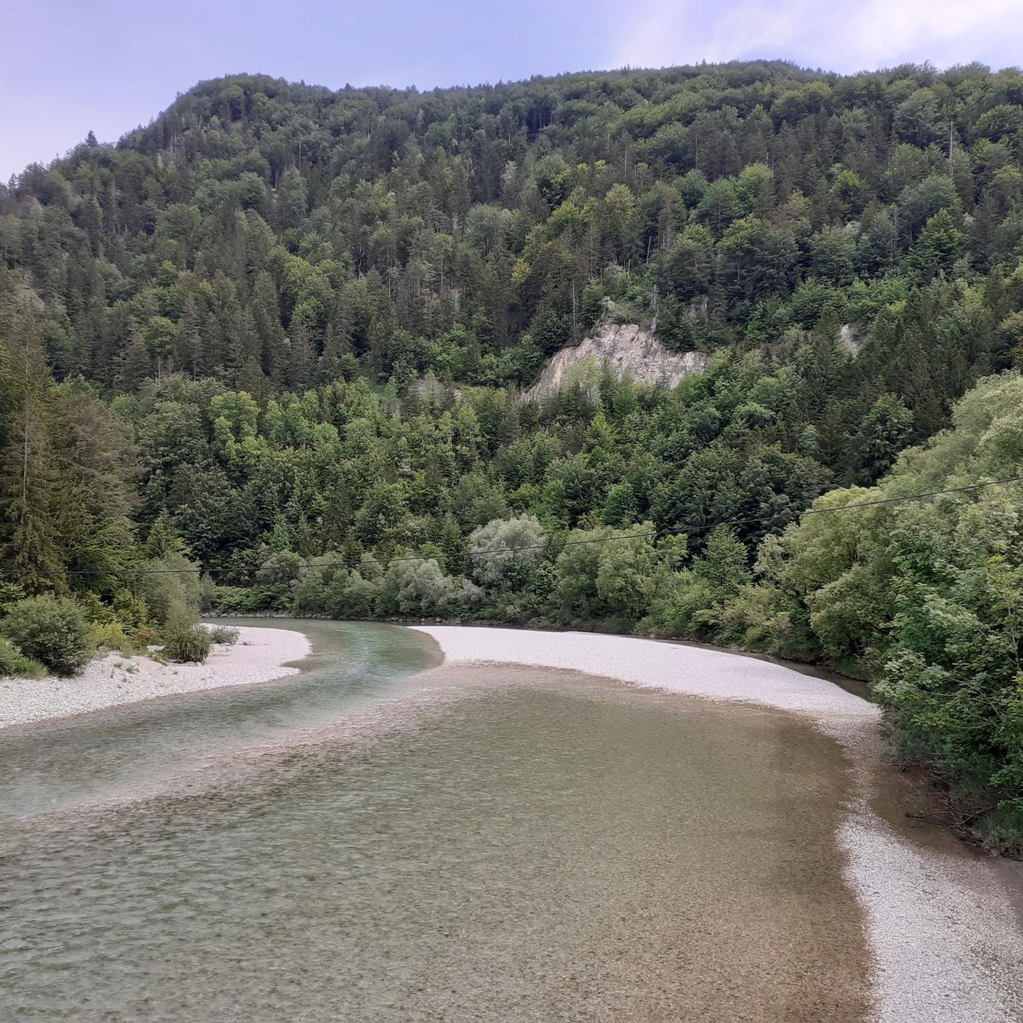
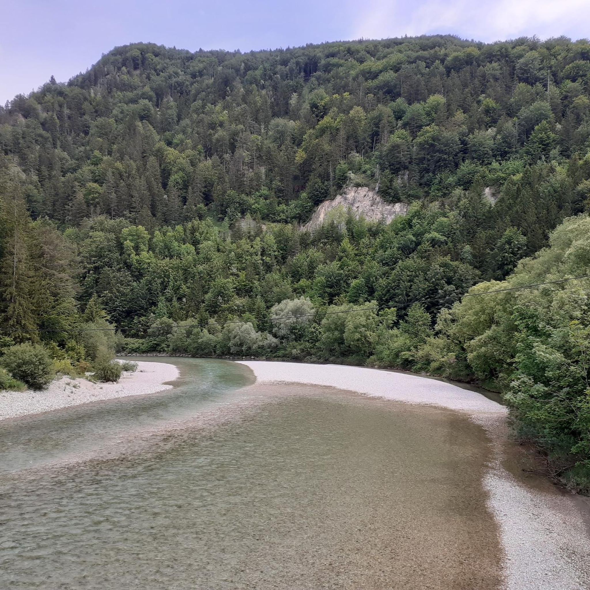
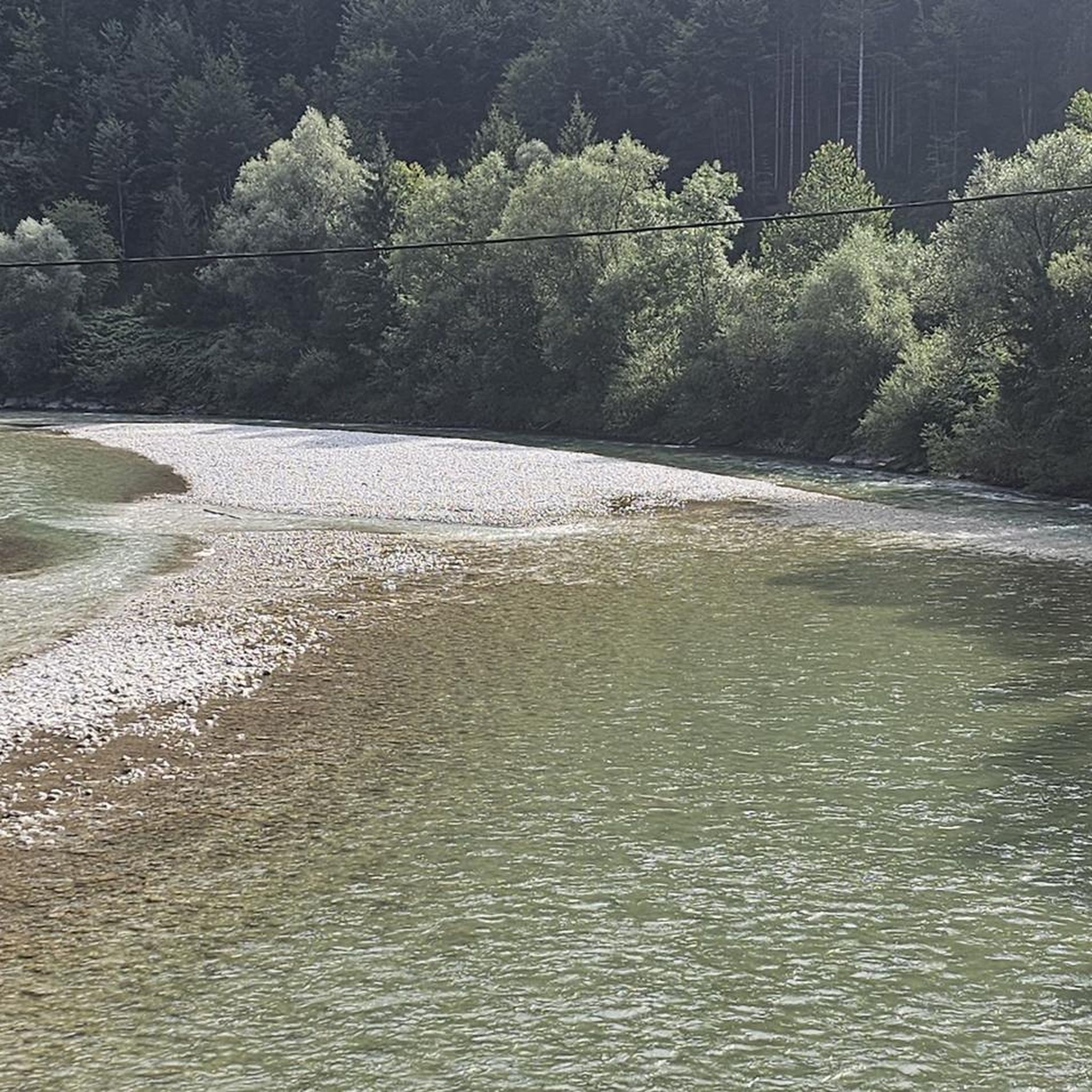
Other adventures around Altenmarkt bei Sankt Gallen

Tips from the Community

"The Voralpe, or Voralm, is a mountain in the Ybbstal Alps in the border triangle of Lower Austria, Upper Austria, and Styria. The mountain has two main peaks: the 1,770 m (5,700 ft) high Stumpfmauer on the border between Lower Austria and Upper Austria, which drops steeply to the southeast; and further southwest, the 1,727 m (5,700 ft) high Tanzboden on the border between Lower Austria and Styria. The border triangle is located in the saddle between the peaks. The Stumpfmauer is the highest elevation in the Steyr-Land district. The Voralpe can be climbed from Hollenstein an der Ybbs or from Altenmarkt, partly via roads and partly via trails, in about three hours. The crossing from one peak to the other takes about 45 minutes. The Eisenwurzenweg (Austrian Long-Distance Hiking Trail 08) also leads over the Voralpe." https://de.wikipedia.org/wiki/Voralpe
0
0

A nice surprise in the middle of the forest!
3
0

Welcome to the Gasthof Hensle in St. Gallen in Austria! The Gasthof Hensle, which has been run by the Guttmann family since 1983, is located in the Gesäuse National Park region, directly on the market square in St. Gallen. Here the guests are only served freshly prepared dishes such as the well-known Styria beef, the Steirerpfandl or a aspic of Styrian alpine ox. Game dishes are prepared with the Xeis game. In the vaulted cellar of the house there is a jewel for wine connoisseurs, where top wines from Germany and abroad are stored. The inn has wonderful comfort rooms and two technically modern equipped seminar rooms. Toys and a swing in the guest garden are reserved for the little guests.
0
0

The Kopetzkysteig leads to the 1,770 meter high summit of the Voralpe, which is also called the stump wall. The wide view extends from the Totes Gebirge over the Tauern, the Eisenerzer Alps and the Hochschwab massif. Not far from the promising summit is the rock hole "Lucken", which can be reached via a rocky rib.
1
0
Frequently Asked Questions
How many running routes are available in Altenmarkt bei Sankt Gallen?
Altenmarkt bei Sankt Gallen offers a diverse selection of over 20 running routes, catering to various preferences and fitness levels. These trails traverse the picturesque landscapes of the Ennstal Alps, featuring green meadows, dense forests, and varied waterways.
Are there easy running paths suitable for beginners or casual joggers?
Yes, there are easy running paths available. While many routes offer a challenge, you can find gentler options. For instance, the Garden Gnome Display loop from Altenmarkt bei Sankt Gallen is a moderate 5.3 km route with minimal elevation gain, making it a good choice for a relaxed run.
What kind of terrain can I expect on the running trails in this region?
The terrain around Altenmarkt bei Sankt Gallen is quite varied. You can expect everything from gentle paths along valleys and through lush forests to more challenging ascents in alpine areas. The region is nestled within the Ennstal Alps, so many routes offer a mix of forest trails, open meadows, and some steeper sections, providing a diverse experience for runners.
Are there any running routes that feature waterfalls or other scenic natural monuments?
Absolutely! The region is known for its natural beauty. You can find routes that pass by impressive natural features like the Schleierfall Waterfall, especially within the Mendlingtal Adventure World. These areas offer a unique running experience, combining natural beauty with dramatic scenery.
Can I bring my dog on the jogging trails in Altenmarkt bei Sankt Gallen?
Many outdoor trails in the region are dog-friendly, but it's always recommended to keep your dog on a leash, especially in nature reserves or areas with livestock. Be sure to check local signage for specific rules on individual trails to ensure a pleasant experience for everyone.
Are there family-friendly jogging routes suitable for all ages?
Yes, there are routes that are suitable for families. While specific 'family-friendly' designations aren't always explicit for jogging, routes with lower difficulty and less elevation, such as the Garden Gnome Display loop, are generally more accessible for families with children who enjoy running or walking.
What are some notable landmarks or points of interest I might see while running?
Beyond the natural beauty, you might encounter historical sites or charming huts. The Ennstaler Hut, the oldest refuge in the Ennstal Alps, offers unique panoramas. Other natural landmarks include the Tamischbachturm Summit and the Stumpfmauer, which provide stunning views on more challenging routes.
Are there circular running routes available in Altenmarkt bei Sankt Gallen?
Yes, many of the running routes in Altenmarkt bei Sankt Gallen are designed as loops, allowing you to start and finish at the same point. Examples include the popular Running loop from Naturpark Eisenwurzen and the Gasthof Hensle loop from Sankt Gallen, offering convenient options for your run.
How can I access the trailheads, particularly regarding parking and public transport?
Access to trailheads varies by route. Many popular starting points, especially for routes like the Running loop from Naturpark Eisenwurzen, often have designated parking areas nearby. For public transport, it's advisable to check local bus schedules for connections to villages or specific points close to the trail starts, as options can differ.
What is the best season for running in Altenmarkt bei Sankt Gallen?
The best season for running in Altenmarkt bei Sankt Gallen is generally spring through autumn. During these months, the weather is milder, and the natural scenery is at its most vibrant, with green meadows and lush forests. Summer offers longer daylight hours, while autumn provides beautiful foliage. Always check local weather conditions before heading out.
Are there options for more challenging or advanced runners?
Certainly! For advanced runners seeking a challenge, the region offers routes with significant elevation gain and technical terrain. The Stumpfmauer loop from Wenten, for example, is a difficult 10.8 km path with over 1100 meters of elevation gain, providing panoramic views and a demanding workout.
Where can I find refreshments or places to eat near the running trails?
You'll find various options for refreshments, especially in and around the main towns like Altenmarkt bei Sankt Gallen and Sankt Gallen. Some routes might pass by traditional Austrian 'Gasthöfe' or mountain huts like the Hammerherrenhaus or Schüttbauernalm, where you can enjoy local cuisine and drinks. It's always a good idea to check opening times, especially for smaller establishments.
What do other runners say about the trails in Altenmarkt bei Sankt Gallen?
The running routes in Altenmarkt bei Sankt Gallen are highly rated by the komoot community, with an average score of 4.0 stars from over 4 reviews. Runners often praise the stunning alpine scenery, the variety of terrain, and the well-maintained paths that allow for a truly immersive outdoor experience.
Most popular routes around Altenmarkt bei Sankt Gallen
Most popular attractions around Altenmarkt bei Sankt Gallen

Get inspired with the komoot mobile app


Explore more
Browse the best Running Trails & Routes in other regions.
