The best mountain hikes around Stanz im Mürztal
5.0
(3)
66
hikers
7
hikes
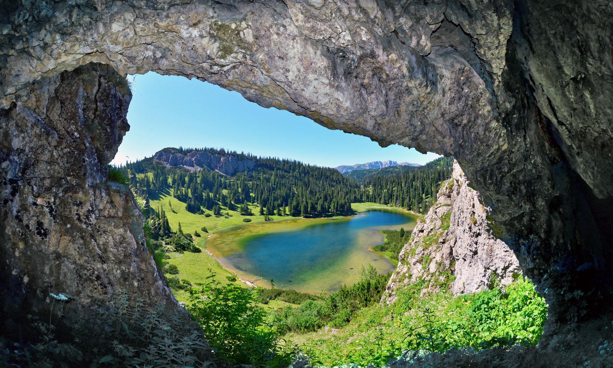
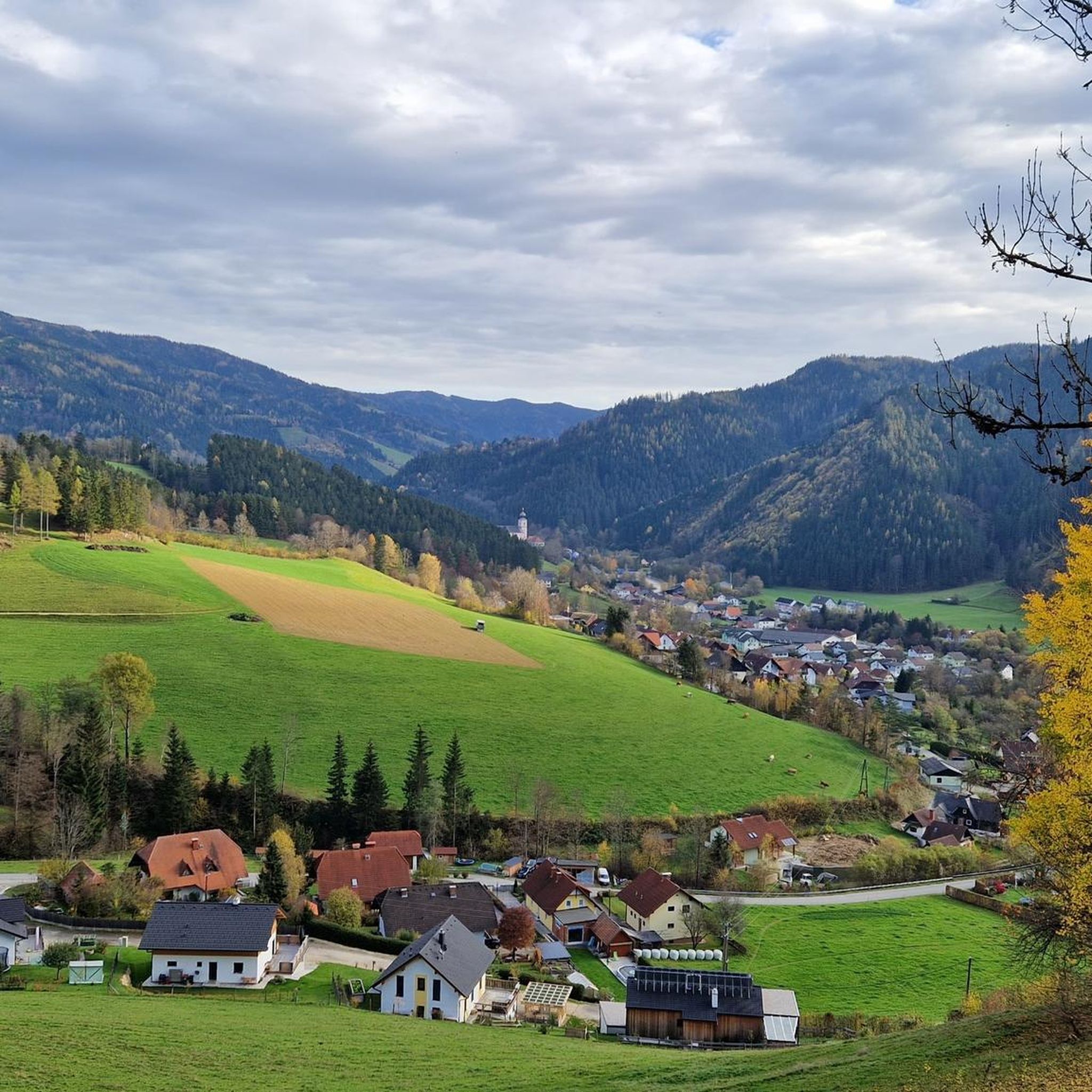
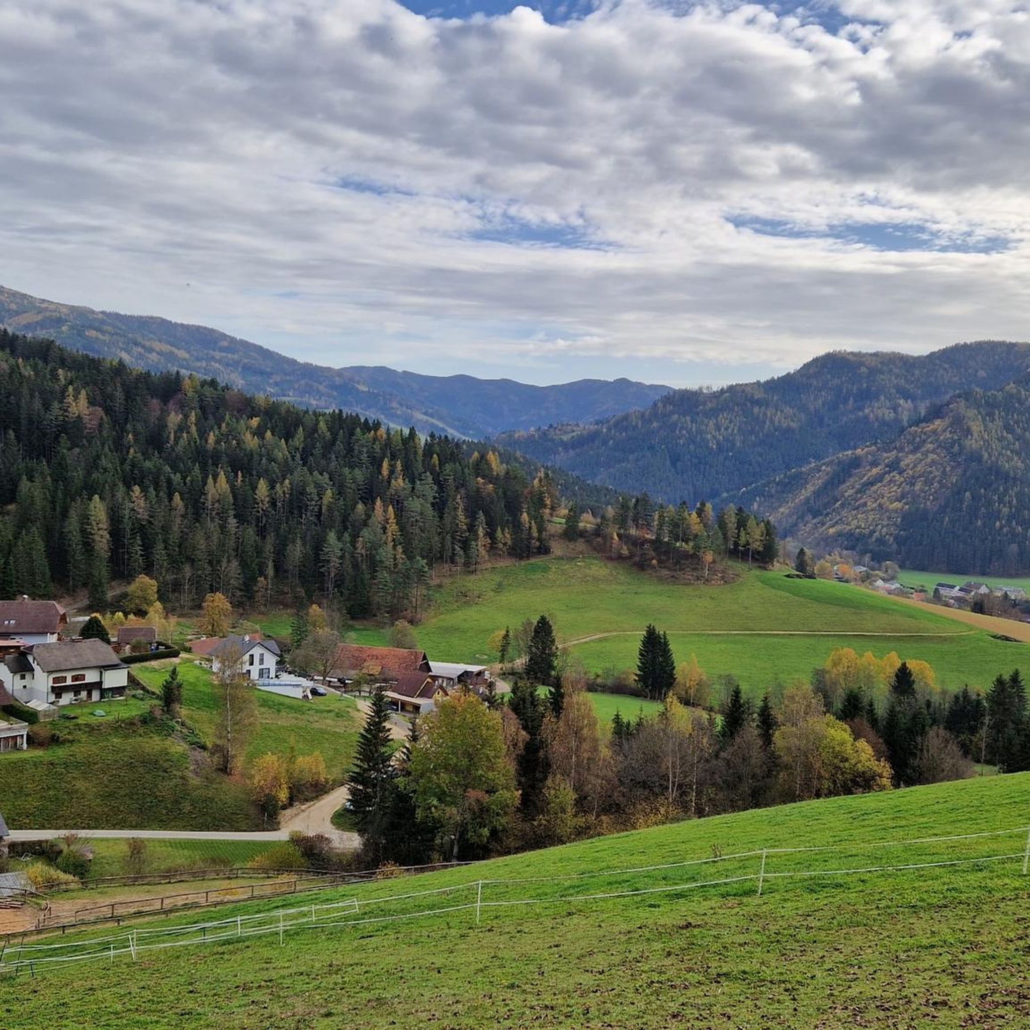
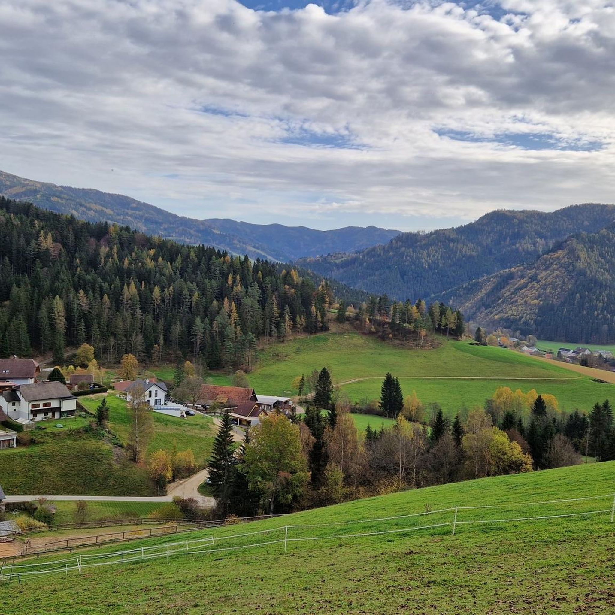
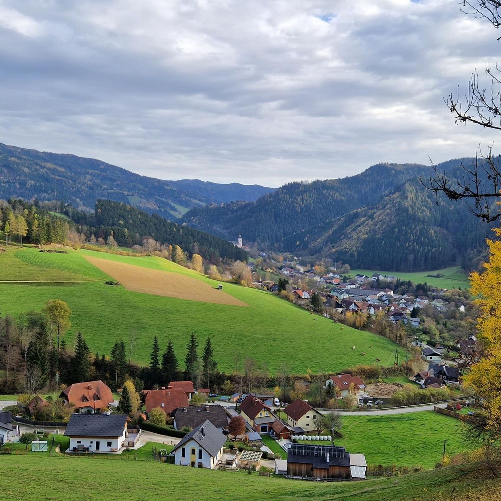
Mountaineering routes around Stanz im Mürztal are situated at the base of the Hochschwab massif, offering a diverse landscape for outdoor activities. The region features a captivating blend of dense forests, clear rivers, and lush green valleys. Terrain varies from gentle hills and alpine pastures to rugged mountain peaks, providing varied scenic views and challenges.
Best mountaineering routes around Stanz im Mürztal
- The most popular mountaineering route is Hochlantsch Summit (1,720 m) – Mountain Church loop from Latschen-Hochmoor, a…
Last updated: July 9, 2026
5.0
(1)
24
hikers
14.1km
04:28
410m
410m
Moderate mountaineering route. Good fitness required. Mostly accessible paths. Sure-footedness required.
14
hikers
17.6km
06:40
910m
910m
Hard mountaineering route. Very good fitness required. Sure-footedness, sturdy shoes and alpine experience required.

Sign up for free
9
hikers
9.18km
03:02
440m
430m
Moderate mountaineering route. Good fitness required. Mostly accessible paths. Sure-footedness required.
5.0
(1)
11
hikers
5.31km
01:44
250m
250m
Easy mountaineering route. Great for any fitness level. Easily-accessible paths. Suitable for all skill levels.
6
hikers
5.97km
02:04
310m
310m
Moderate mountaineering route. Good fitness required. Mostly accessible paths. Sure-footedness required.
Get access to more routes and recommendations from other explorers.
Sign up for free
Already have an account?
Our route recommendations are based on thousands of hikes, rides, and runs completed by other people on komoot.
Start today with a free account
Your next adventure awaits.
Login or Signup

Other adventures around Stanz im Mürztal

Tips from the Community

It's located right next to the main road.
3
0
Unfortunately closed, the hut still invites you to take a rest
3
0
Wayside cross directly on the Schanzsattelbundestraße, fork in the road towards Stanglalm
3
0
The Schanzwirt is always worth a visit, good food, friendly staff
3
0
A great opportunity to start from here
3
0

Wonderful place for hiking with good gastronomic surroundings
0
0

A free hiking car park with some parking spaces 🅿️
3
0

Good starting point for the tour to the Teufelstein
5
0
Frequently Asked Questions
How many mountaineering routes are available around Stanz im Mürztal?
There are 8 distinct mountaineering routes around Stanz im Mürztal, offering a variety of experiences from moderate ascents to more challenging summit routes within the Hochschwab massif.
Are there any easy mountaineering routes suitable for beginners or families?
Yes, Stanz im Mürztal offers some easier options. For instance, the Rest Area with Prayer Cross – Teufelstein Hut loop from Fischbach is an easy route, covering about 5.3 km and taking around 2 hours to complete. It's a good choice for those looking for a less strenuous experience.
What kind of terrain can I expect on mountaineering routes in Stanz im Mürztal?
The terrain around Stanz im Mürztal is quite diverse, ranging from gentle hills and lush alpine pastures to rugged mountain peaks within the Hochschwab massif. You'll encounter dense forests, clear rivers, and varied scenic views, making for a captivating outdoor experience.
Are there any circular mountaineering routes in the area?
Many of the routes around Stanz im Mürztal are designed as loops, allowing you to start and end at the same point. For example, the challenging Hochlantsch Summit (1,720 m) – Mountain Church loop from Latschen-Hochmoor is a popular circular option, as is the moderate Zellerkreuz Wayside Cross – Teufelstein Hut loop from Fischbach.
What are some notable landmarks or natural attractions I can see while mountaineering?
The region is rich in natural beauty and interesting spots. You can explore the unique rock formations at the Teufelstein Summit, or enjoy the views from peaks like Heulantsch. The Pichl Castle is also nearby, offering a glimpse into local history. The Mürz Valley Organic Meadow Orchard Region provides a beautiful backdrop to many routes.
Are there any mountain huts or places to stop for refreshments along the routes?
Yes, mountain huts are an integral part of the mountaineering experience here. The Teufelstein Hut is a notable stop, featured on routes like the Teufelstein Hut – Schanz Alpine Inn loop from Schanzsattel. The Tyrnauer Alm is another excellent resting point, often encountered on tours such as the Rote Wand Summit – Tyrnauer Alm loop from Latschen-Hochmoor.
What do other mountaineers say about the routes in Stanz im Mürztal?
The mountaineering routes in Stanz im Mürztal are highly regarded by the komoot community, boasting an average rating of 5.0 stars from over 7 reviews. More than 143 mountaineers have explored the varied terrain, often praising the diverse landscapes and rewarding climbs.
What is the best time of year for mountaineering in Stanz im Mürztal?
The region is generally excellent for mountaineering during the warmer months, from late spring through early autumn, when trails are clear and weather conditions are more stable. This allows for optimal enjoyment of the diverse landscapes, from lush valleys to alpine pastures and rugged peaks.
Are there any particularly challenging routes for experienced mountaineers?
Absolutely. For those seeking a challenge, the Hochschwab massif offers strenuous options. The Hochlantsch Summit (1,720 m) – Mountain Church loop from Latschen-Hochmoor is classified as a difficult route, providing a rewarding climb to a prominent peak.
Where can I find parking for the mountaineering routes?
Many routes around Stanz im Mürztal, especially those starting from popular trailheads like Latschen-Hochmoor or Fischbach, typically have designated parking areas nearby. It's advisable to check the specific route details on komoot for precise starting points and parking information.
Are there any other activities or points of interest near the mountaineering routes?
Beyond mountaineering, the area offers other attractions. The Teichalmsee is a wonderful place to relax and serves as a starting point for additional hikes. You might also find interest in exploring nearby castles like Lichtenegg Castle Ruins or Hohenwang Castle Ruins, which are part of the region's rich heritage.
Most popular routes around Stanz im Mürztal
Most popular attractions around Stanz im Mürztal

Get inspired with the komoot mobile app


Explore more
Browse the best Mountain Hikes & Routes in other regions.
