The best mountain hikes around Mürzzuschlag
4.7
(82)
1,148
hikers
40
hikes
Mountaineering around Mürzzuschlag is characterized by its location within the Eastern Alps, offering access to prominent ranges like the Rax-Schneeberg Group and the Schneealpe massif. The region features diverse terrain, from challenging limestone cliffs and high alpine plateaus to dense forests and river valleys. Elevations reach over 2,000 meters, providing varied ascent profiles and extensive mountain views.
Best mountaineering routes around Mürzzuschlag
- The most popular mountaineering route is Preiner Gscheid Pass – Karl-Ludwig House (Raxalpe) loop from Preiner Gscheid,…
Last updated: July 1, 2026
80
hikers
7.84km
03:25
720m
720m
Moderate mountaineering route. Good fitness required. Easily-accessible paths. Suitable for all skill levels.
5.0
(8)
39
hikers
10.7km
05:28
1,020m
1,020m
Hard mountaineering route. Very good fitness required. Sure-footedness, sturdy shoes and alpine experience required.

Sign up for free
32
hikers
13.9km
05:08
870m
870m
Hard mountaineering route. Very good fitness required. Mostly accessible paths. Sure-footedness required.
5.0
(1)
22
hikers
12.2km
05:39
970m
970m
Hard mountaineering route. Very good fitness required. Sure-footedness, sturdy shoes and alpine experience required.
5.0
(1)
18
hikers
7.61km
02:48
460m
460m
Moderate mountaineering route. Good fitness required. Mostly accessible paths. Sure-footedness required.
Get access to more routes and recommendations from other explorers.
Sign up for free
Already have an account?
Our route recommendations are based on thousands of hikes, rides, and runs completed by other people on komoot.
Start today with a free account
Your next adventure awaits.
Login or Signup
Popular around Mürzzuschlag
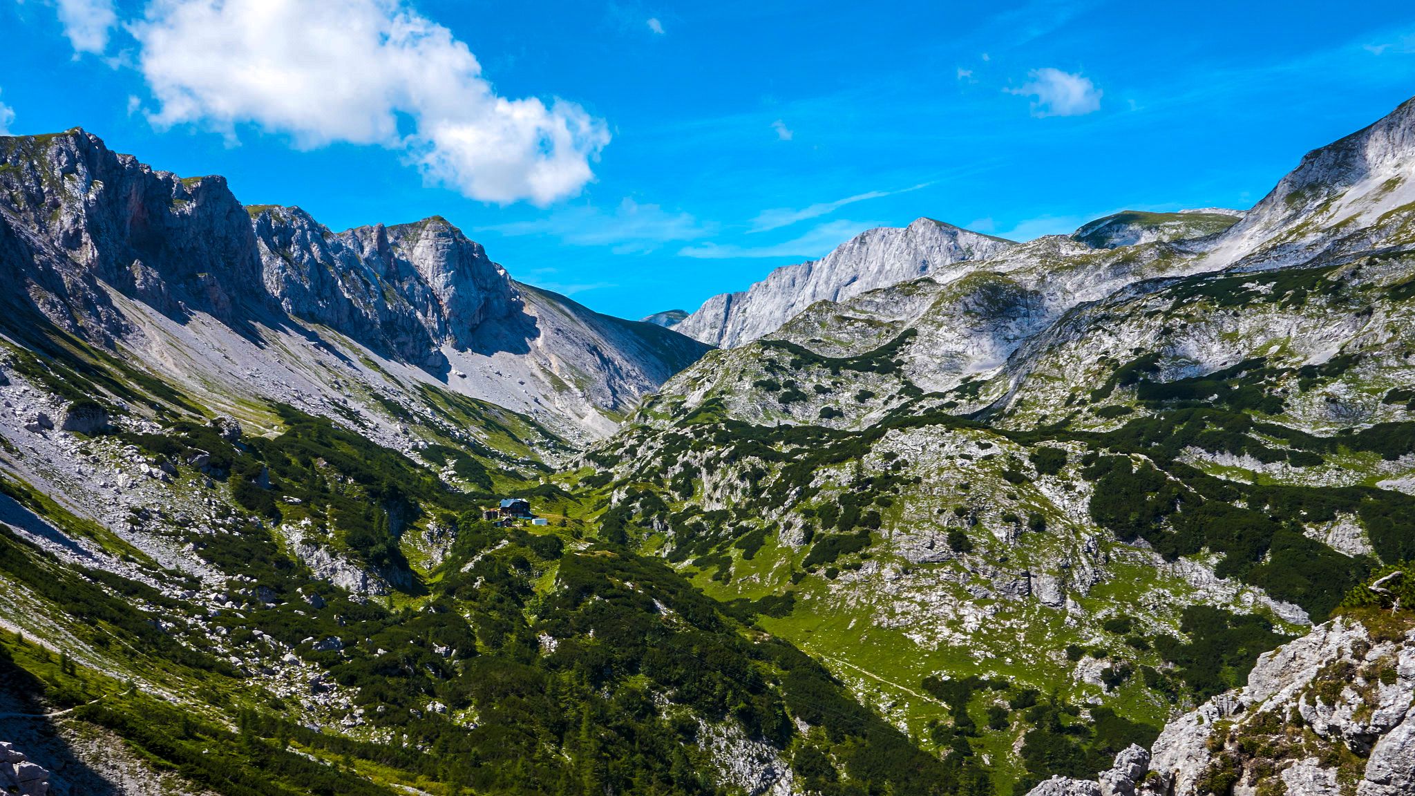
The BergZeitReise – a beautiful long-distance hiking trail across Styria

Discover Styria in Austria on foot – ‘From Glacier to Wine’ North Route
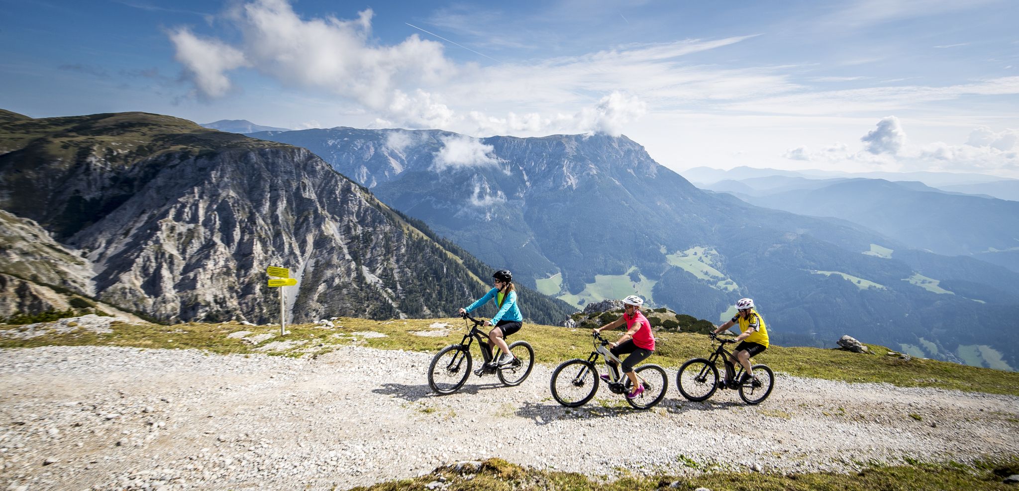
Pleasure mountain biking and adrenaline kicks in Hochsteiermark
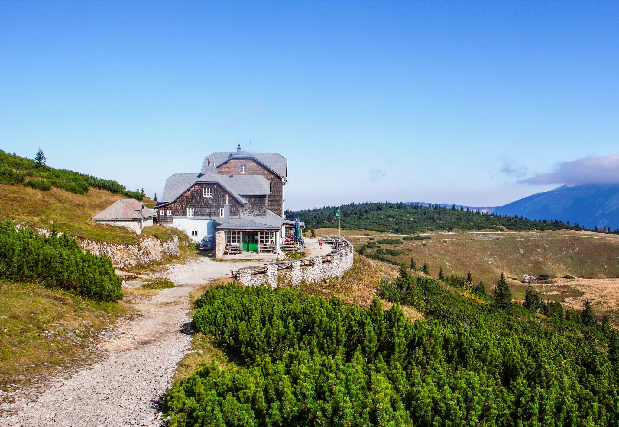
Hut fun in Austria’s Schneebergland
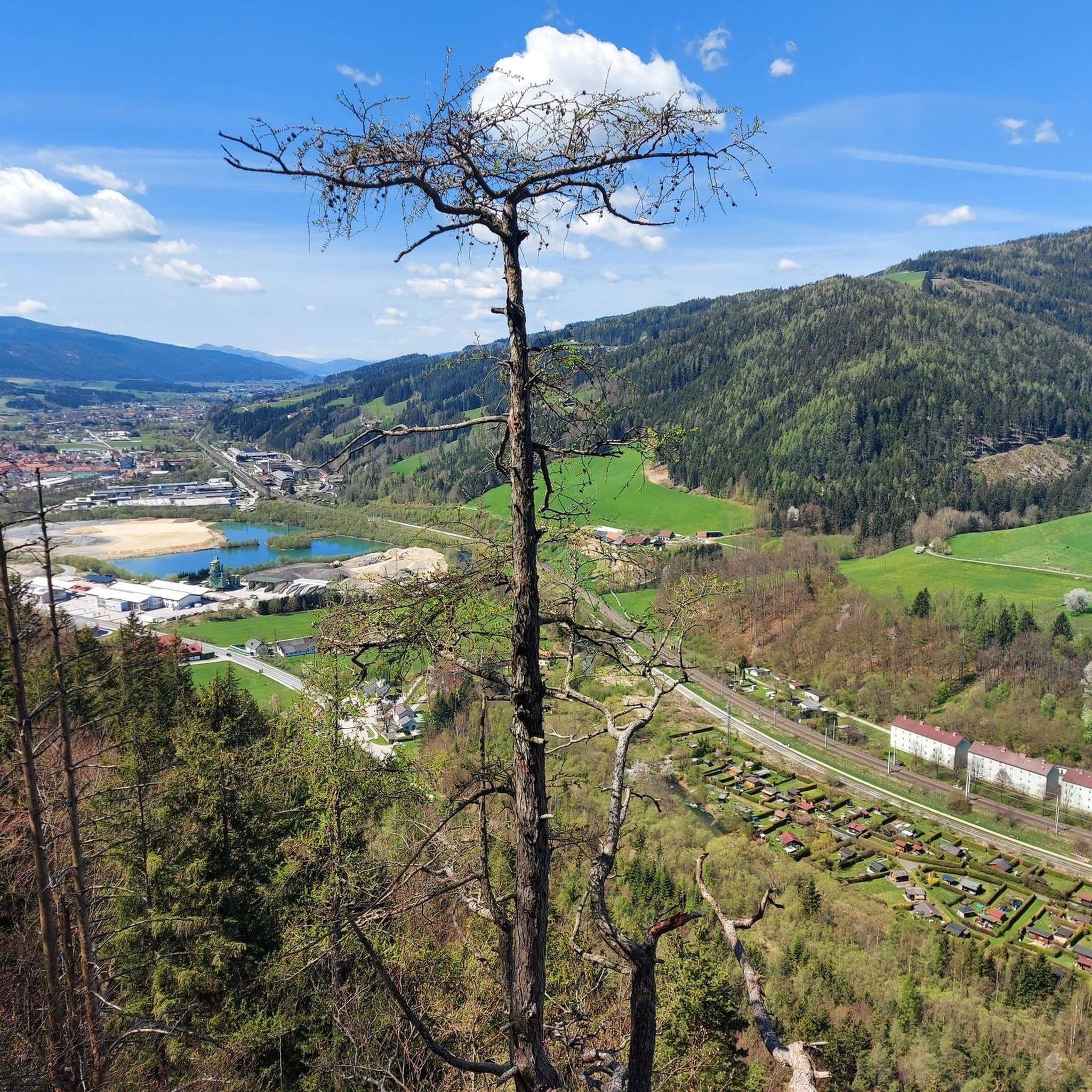
MTB Trails around Mürzzuschlag
Cycling around Mürzzuschlag
Hiking around Mürzzuschlag
Road Cycling Routes around Mürzzuschlag
Running Trails around Mürzzuschlag

Gravel biking around Mürzzuschlag
Other adventures around Mürzzuschlag


Tips from the Community

The Karl-Ludwig-Haus is located at 1,804 meters on the edge of the Rax plateau and is one of the most traditional huts in the region. Surrounded by wide alpine meadows and striking rock faces, it is a popular base for hikes across the plateau and to the surrounding peaks. A cozy stop with regional cuisine makes it an ideal resting and starting point for tours on the Rax.
5
0
The Raxkirchlein is a small chapel on the Rax plateau and is considered the highest church in Lower Austria. Simple and exposed, it blends harmoniously into the vast alpine landscape and is a special place of tranquility. From here, a beautiful view also opens up over the plateau and the surrounding peaks of the Rax.
5
0
The Heukuppe, at 2,007 meters, is the highest peak in the Rax and marks the easternmost two-thousand-meter peak in the Alps. From the expansive plateau, an unassuming ascent leads to the highest point, rewarding with an impressive panoramic view over the Vienna Alps and far into the Lower Austrian Prealps. Despite the gentle summit shape, you can feel the alpine vastness and the special location on the edge of the Eastern Alps up here.
5
0

A highlight you have to do once
3
0

Very beautiful on the plateau of Karl Ludwig Haus.
1
0
Large parking lot, subject to charge (€ 5,- as of end of April 2026)
0
0
Many visitors erect their stone sculptures here.
4
0
Beautiful cross at the summit, Alois Günther mountain hut
4
0
Frequently Asked Questions
How many mountaineering routes are available around Mürzzuschlag?
There are over 40 mountaineering routes around Mürzzuschlag listed on komoot, catering to various skill levels. You'll find a diverse range of options, from easier walks to challenging summit tours, primarily within the Rax-Schneeberg Group and Schneealpe massif.
Are there any easy mountaineering routes suitable for beginners in Mürzzuschlag?
Yes, Mürzzuschlag offers some easier mountaineering routes. For instance, the region provides routes suitable for all fitness levels, including less strenuous options like those found closer to the town center in the Mürzzuschlager Au, or specific easy walks through dense forests mentioned in the broader region research.
Which mountaineering routes are considered challenging in the Mürzzuschlag area?
For those seeking a challenge, the Mürzzuschlag region, particularly the Rax-Schneeberg Group and Hochschwab Mountains, offers demanding tours. A difficult route popular among local mountaineers is the Alois-Günther-Haus – Sunset View from Stuhleck loop from Spital am Semmering, which ascends to the Stuhleck area known for its panoramic vistas. This route covers 13.9 km with significant elevation gain.
Are there circular mountaineering routes around Mürzzuschlag?
Yes, circular routes are a popular feature in the Mürzzuschlag area. An excellent example is the Preiner Gscheid Pass – Karl-Ludwig House (Raxalpe) loop from Preiner Gscheid, a moderate 7.9 km trail that offers access to the Raxalpe. Another option is the Heukuppe – Rax Chapel loop from Preiner Gscheid, a challenging 12.3 km route through the Rax massif.
What kind of landmarks or natural features can I expect to see on mountaineering routes near Mürzzuschlag?
Mountaineering routes around Mürzzuschlag offer stunning natural features and viewpoints. You can experience the dramatic landscapes of the Rax-Schneeberg Group, including the Schneeberg and Rax massifs. The Schneealpe massif provides extensive views stretching to the Hohe Veitsch, Hochschwab, Göller, Schneeberg, and Rax. Specific highlights include the Stuhleck Summit, offering breathtaking panoramic views, and the Pfaffensattel Pass (1368 m).
Are there mountaineering routes in Mürzzuschlag that include hut stops?
Absolutely. The region is well-equipped with mountain huts, providing excellent opportunities for rest and refreshments during your mountaineering tours. The Preiner Gscheid Pass – Karl-Ludwig House (Raxalpe) loop from Preiner Gscheid, for example, leads to the Karl-Ludwig House. Other huts like the Habsburghaus on the Rax and the Feistritzsattel Mountain Hut offer hospitality and often spectacular views.
What is the best time of year for mountaineering in Mürzzuschlag?
The best time for mountaineering in Mürzzuschlag generally depends on the specific route and your experience. While the region is known for winter sports, the warmer months from late spring to early autumn typically offer the most favorable conditions for hiking and mountaineering, with accessible trails and pleasant weather. Always check local weather and trail conditions before heading out.
Are there family-friendly mountaineering options around Mürzzuschlag?
While many routes are demanding, Mürzzuschlag does offer options suitable for families. The Mürzzuschlager Au, a landscape protection area closer to the town, features an adventure path and fitness trails for less strenuous outdoor activities. For higher elevations, look for routes described as 'easy walks' or those with moderate difficulty and shorter distances, ensuring they align with your family's experience level.
Is it possible to find less crowded mountaineering trails in Mürzzuschlag?
Yes, while popular routes can see more visitors, the extensive network of trails in the Rax-Schneeberg Group and Schneealpe massif means you can often find quieter paths. Exploring some of the unmarked paths or less-frequented circular routes, particularly outside of peak season or on weekdays, can offer a more solitary experience amidst the stunning natural scenery.
What do other mountaineers enjoy most about the Mürzzuschlag region?
The Mürzzuschlag region is highly rated by the komoot community, with an average score of 4.7 stars from over 80 reviews. Mountaineers frequently praise the diverse terrain, from challenging alpine plateaus to dense forests, and the extensive mountain views. The accessibility to prominent ranges like the Rax-Schneeberg Group and the presence of well-maintained mountain huts are also highly valued.
Are there options for multi-day mountaineering trips near Mürzzuschlag?
Yes, the Mürzzuschlag region, with its extensive trail network and numerous mountain huts, is well-suited for multi-day mountaineering trips. You can plan routes that connect various huts, such as the Habsburghaus on the Rax or the Feistritzsattel Mountain Hut, allowing you to explore different parts of the Rax-Schneeberg Group or Schneealpe massif over several days.
Where can I find parking for mountaineering routes in Mürzzuschlag?
Many popular starting points for mountaineering routes in the Mürzzuschlag area, such as Preiner Gscheid and Spital am Semmering, offer designated parking facilities. For example, the Pfaffensattel Pass Parking – Alois-Günther-Haus loop from Pfaffensattel indicates parking availability at Pfaffensattel. It's always advisable to check specific route descriptions for detailed parking information.
Can I access mountaineering routes in Mürzzuschlag using public transport?
Mürzzuschlag is conveniently located and accessible, including by public transport. While direct access to every trailhead might require some planning, key areas like Preiner Gscheid, a starting point for routes like the Waxriegelhaus – Preinerwand Cross (1783 m) loop from Preiner Gscheid, are often reachable via local bus services connecting from Mürzzuschlag or nearby train stations. It's recommended to check local bus schedules for specific trailhead access.
Most popular routes around Mürzzuschlag
Most popular attractions around Mürzzuschlag

Get inspired with the komoot mobile app


Explore more
Browse the best Mountain Hikes & Routes in other regions.
