The best running trails around Pölla
4.4
(74)
1,640
runners
147
runs
Jogging routes around Pölla offer diverse terrain, from the rolling hills at the base of the Manhartsberg to tranquil paths along the Kamp River. The region is characterized by extensive forests, providing shaded trails, and open landscapes with panoramic views. Runners can explore varied natural features, including moorlands and picturesque ponds, making it suitable for different running preferences.
Best jogging routes around Pölla
- The most popular jogging route is View of Lichtenfels Castle – Picnic Table by the Lake loop…
Last updated: October 5, 2026
5.0
(3)
96
runners
Moderate run. Good fitness required. Mostly paved surfaces. Suitable for all skill levels.
38
runners
Moderate run. Good fitness required. Mostly paved surfaces. Suitable for all skill levels.

5.0
(1)
33
runners
Moderate run. Good fitness required. Mostly paved surfaces. Suitable for all skill levels.
35
runners
Moderate run. Good fitness required. Mostly paved surfaces. Suitable for all skill levels.
21
runners
Moderate run. Good fitness required. Mostly paved surfaces. Suitable for all skill levels.
Get access to more routes and recommendations from other explorers.
Already have an account?
Our route recommendations are based on thousands of hikes, rides, and runs completed by other people on komoot.
Start today with a free account
Your next adventure awaits.
Tips from the Community

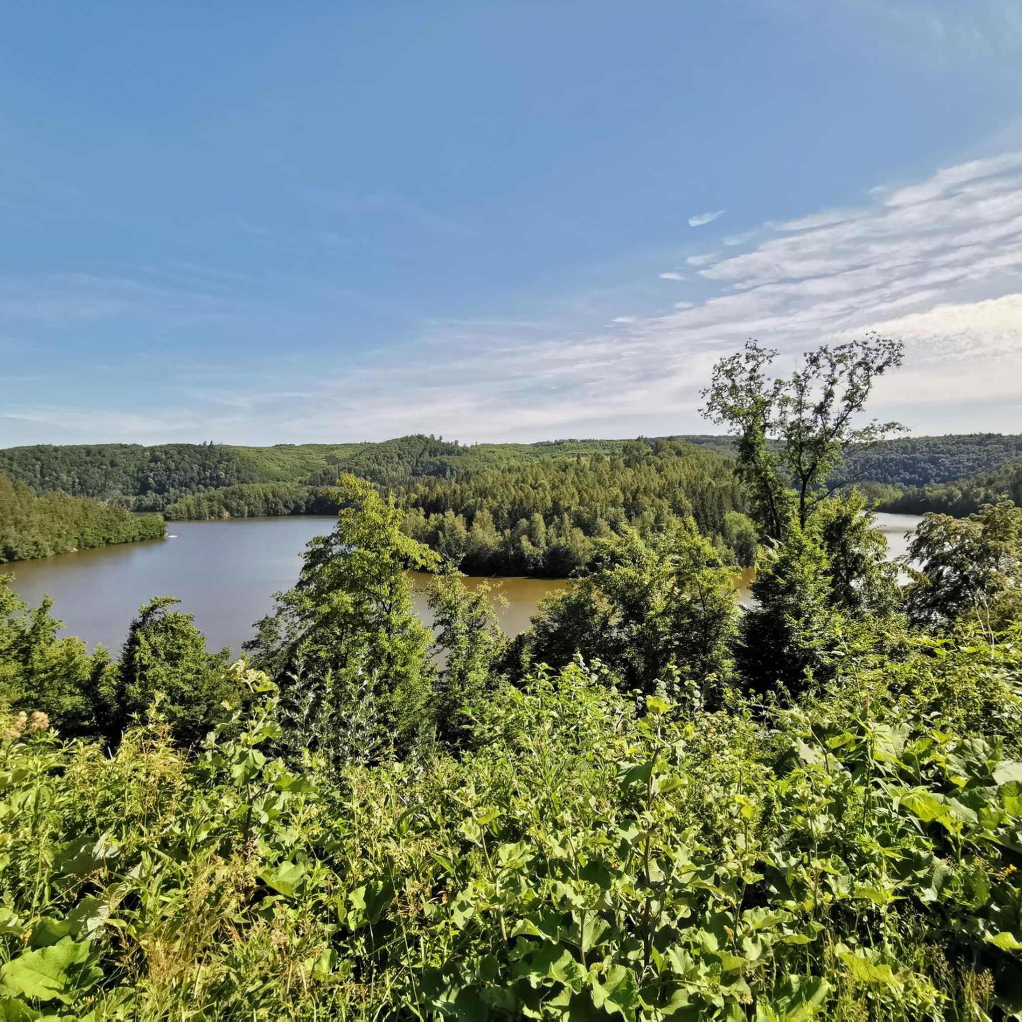
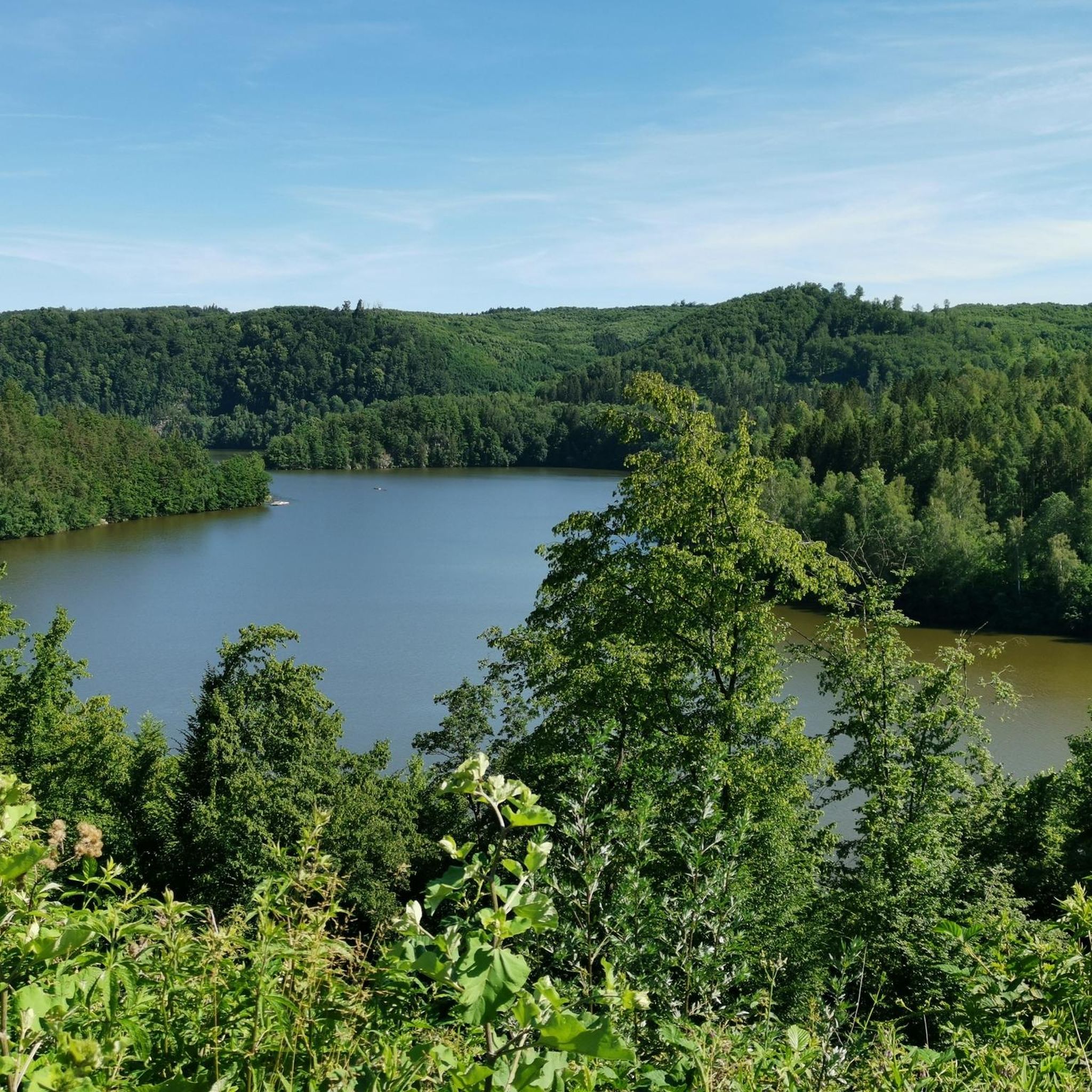
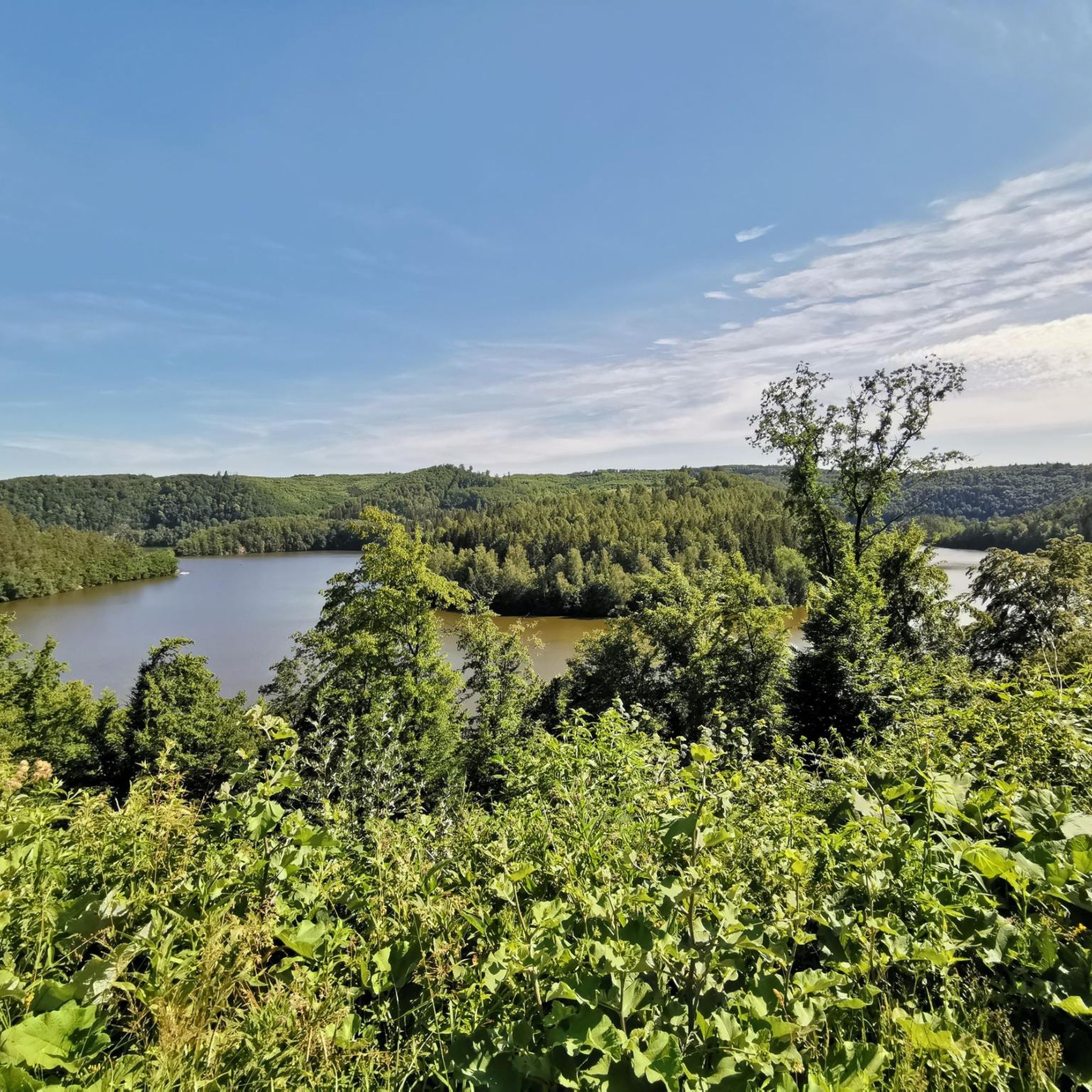
The Ottenstein reservoir, is the largest of the Kamp lakes and is among the richest waters in fish in Austria and at the same time among the best predatory fish waters in Europe. Its water surface is 4.3 km² and extends with its fjord-like, branched side arms, with a length of more than 14 km, up to Zwettl. The deepest point is 69 m.
1
0

nice place for a short rest
0
0

Well-paved path along the lake
0
0

This lake is near Ottenstein and has caused a lot of misery in 2024
1
1

We read somewhere that this dam would no longer be approved today. Nevertheless, the lake fits well into the landscape. It has a strange, branched shape!
1
0

A casual industrial monument in the Waldviertel.
0
0
An impressive building - with a cool approach through the forest.
0
0
Frequently Asked Questions
How many running routes are available around Pölla?
Pölla offers a wide selection of running routes, with over 150 trails available for you to explore. These routes cater to various preferences, from easy loops to more challenging paths with elevation changes.
What is the best time of year for jogging in Pölla?
The mild temperatures and fewer tourists during spring and autumn make these seasons particularly pleasant for exploring Pölla's diverse landscapes on foot. Spring offers vibrant colors, while autumn showcases beautiful foliage.
Are there running routes suitable for beginners or those looking for an easy jog?
Yes, Pölla has several easy running routes. There are 13 routes specifically categorized as easy, perfect for beginners or those seeking a relaxed pace. Many trails, like the circular path around the Pfarrerteich pond, offer gentler terrain.
Can I find family-friendly jogging routes in Pölla?
Absolutely. The circular trail around the glistening Pfarrerteich pond is a gentler option that is also suitable for families. It offers opportunities to observe local wildlife and features picnic areas for a post-run rest.
Are dogs allowed on the running trails around Pölla?
While specific regulations for dogs on every trail may vary, the general outdoor environment in Pölla, with its extensive forests and natural paths, is often welcoming to dogs. It's always recommended to keep dogs on a leash and clean up after them to respect the local environment and other users.
Which routes offer the best scenic viewpoints?
For breathtaking views, consider a path leading to the Hoher Stein Viewpoint. This idyllic forest trail rewards runners with spectacular panoramic views of the entire valley, especially stunning in autumn. Many routes also offer continuous views of Lichtenfels Castle Ruins and the picturesque landscape.
Are there any routes that pass by natural landmarks or unique features?
Yes, Pölla's routes feature diverse natural landmarks. You can run through the unique moor landscape of the Hochmoor Buchenberg Nature Reserve, experience riverside paths along the Kamp River in the 'Kamptal Wilderness', or enjoy a tranquil circular trail around the Pfarrerteich pond.
What kind of terrain can I expect on the running trails in Pölla?
The terrain in Pölla is quite varied. You can expect rolling hills at the base of the Manhartsberg, extensive forests providing shaded paths, and tranquil riverside trails along the Kamp River. This mix offers opportunities for both uphill challenges and flatter, gentler runs.
Are there any long-distance running options in the Pölla area?
While Pölla offers many moderate routes, some trails, like the View of Lichtenfels Castle – Picnic Table by the Lake loop from Rastenfeld, extend to over 10 km, providing a good option for those looking for a longer run. The region's network of trails also allows for combining sections for extended distances.
What do other runners think about the trails in Pölla?
The running routes in Pölla are highly rated by the komoot community, with an average score of 4.4 stars from over 60 reviews. More than 1500 runners have used komoot to explore the varied terrain, often praising the scenic views and diverse landscapes.
Are there circular running routes available?
Yes, many of the popular running routes in Pölla are circular. For example, the View of Lichtenfels Castle – View of Lichtenfels Castle loop from Rastenfeld and the View of Lichtenfels Castle – View of Lichtenfels Castle loop from Schloss Ottenstein are both well-loved circular paths offering continuous castle views.
Are there any castles or historical sites visible from the running routes?
Yes, several routes offer views of historical sites. The Picnic Table by the Lake – View of Lichtenfels Castle loop from Rastenfeld provides excellent views of Lichtenfels Castle Ruins. Other nearby castles like Rosenburg Castle and Ottenstein Castle are also part of the region's rich history.
Are there any places to eat or drink near the running trails?
While specific cafes directly on every trail are not guaranteed, the region offers options. For instance, the Ottenstein Lake Restaurant & Boat Rental is a notable spot near the Ottenstein reservoir, providing a place to refresh after a run.
Most popular attractions around Pölla

Get inspired with the komoot mobile app


Explore more
Browse the best Running Trails & Routes in other regions.
