The best running trails around Chrishall
4.6
(43)
2,122
runners
16
runs
Jogging around Chrishall offers an opportunity to explore a region characterized by its elevated position and tranquil rural setting in northwest Essex. The area features Chrishall Common, the highest point in Essex at 147 meters (482 ft), providing expansive views over the gently rolling countryside. Ancient pathways, including a section of the historic Icknield Way, traverse the landscape, alongside quiet country lanes and open farmland, creating a serene environment for running. This preserved rural character ensures less traffic and a…
Last updated: August 4, 2026
9
runners
10.4km
01:09
100m
100m
Moderate run. Good fitness required. Mostly paved surfaces. Suitable for all skill levels.
6
runners
11.4km
01:14
90m
90m
Moderate run. Good fitness required. Mostly paved surfaces. Suitable for all skill levels.

Sign up for free
7
runners
10.2km
01:05
100m
100m
Moderate run. Good fitness required. Mostly paved surfaces. Suitable for all skill levels.
4
runners
5.36km
00:34
50m
50m
Moderate run. Good fitness required. Mostly paved surfaces. Suitable for all skill levels.
5
runners
10.4km
01:05
90m
90m
Moderate run. Good fitness required. Mostly paved surfaces. Suitable for all skill levels.
Get access to more routes and recommendations from other explorers.
Sign up for free
Already have an account?
Our route recommendations are based on thousands of hikes, rides, and runs completed by other people on komoot.
Start today with a free account
Your next adventure awaits.
Login or Signup
Tips from the Community


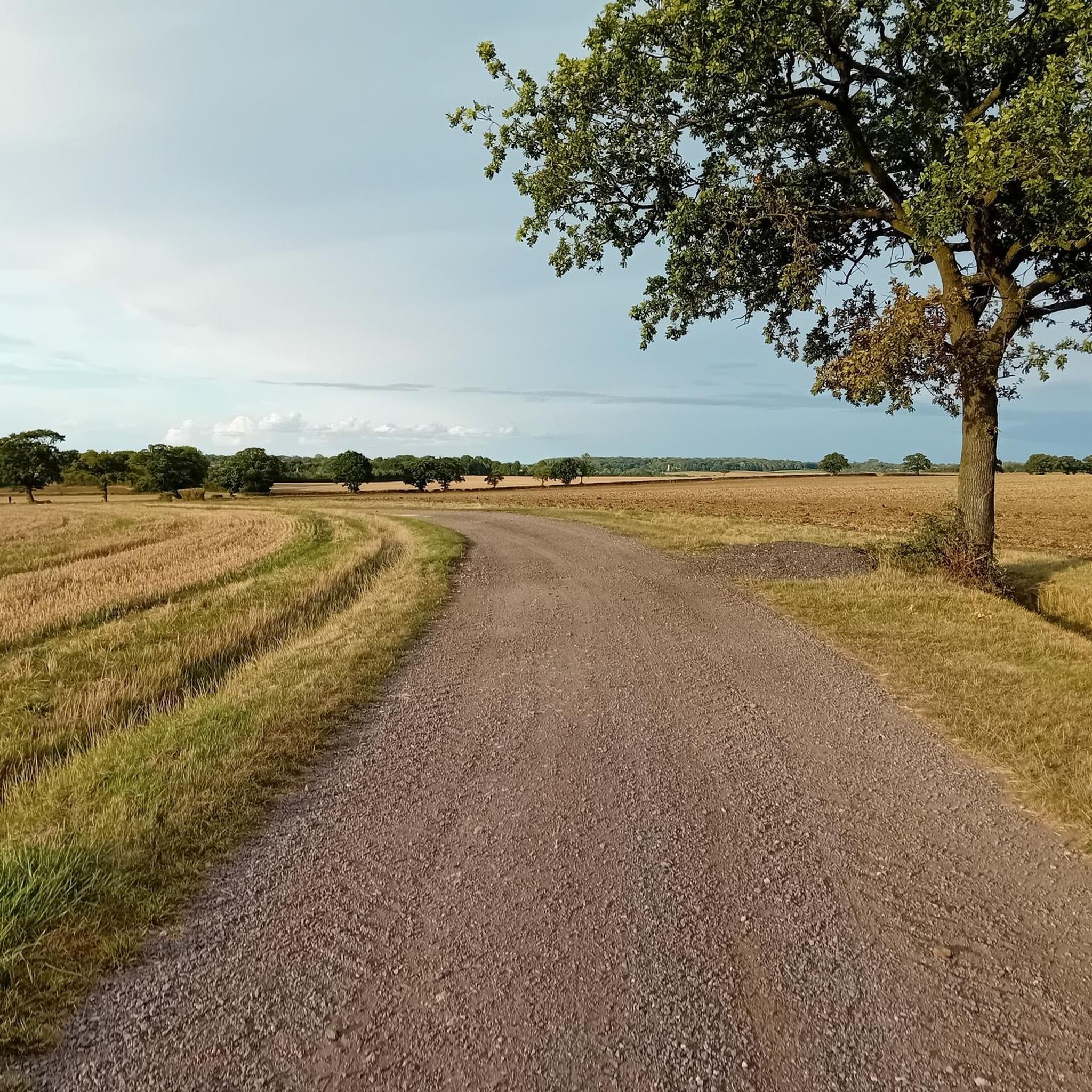
One of those wide, easy-rolling gravel roads with scenic views that I wish there were more of
0
0
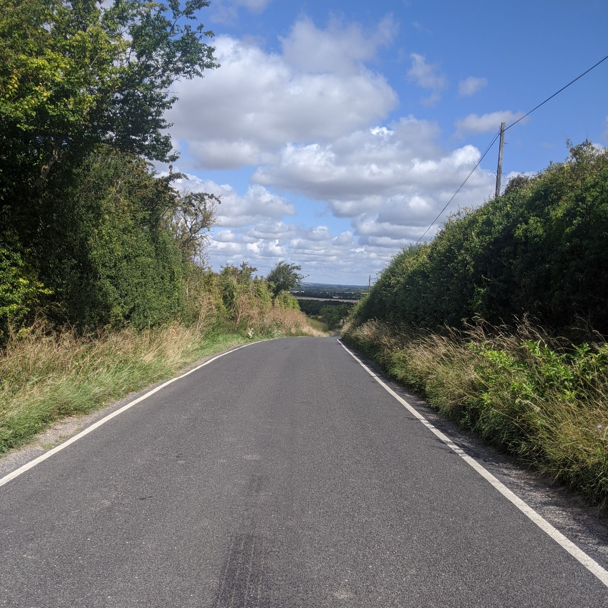
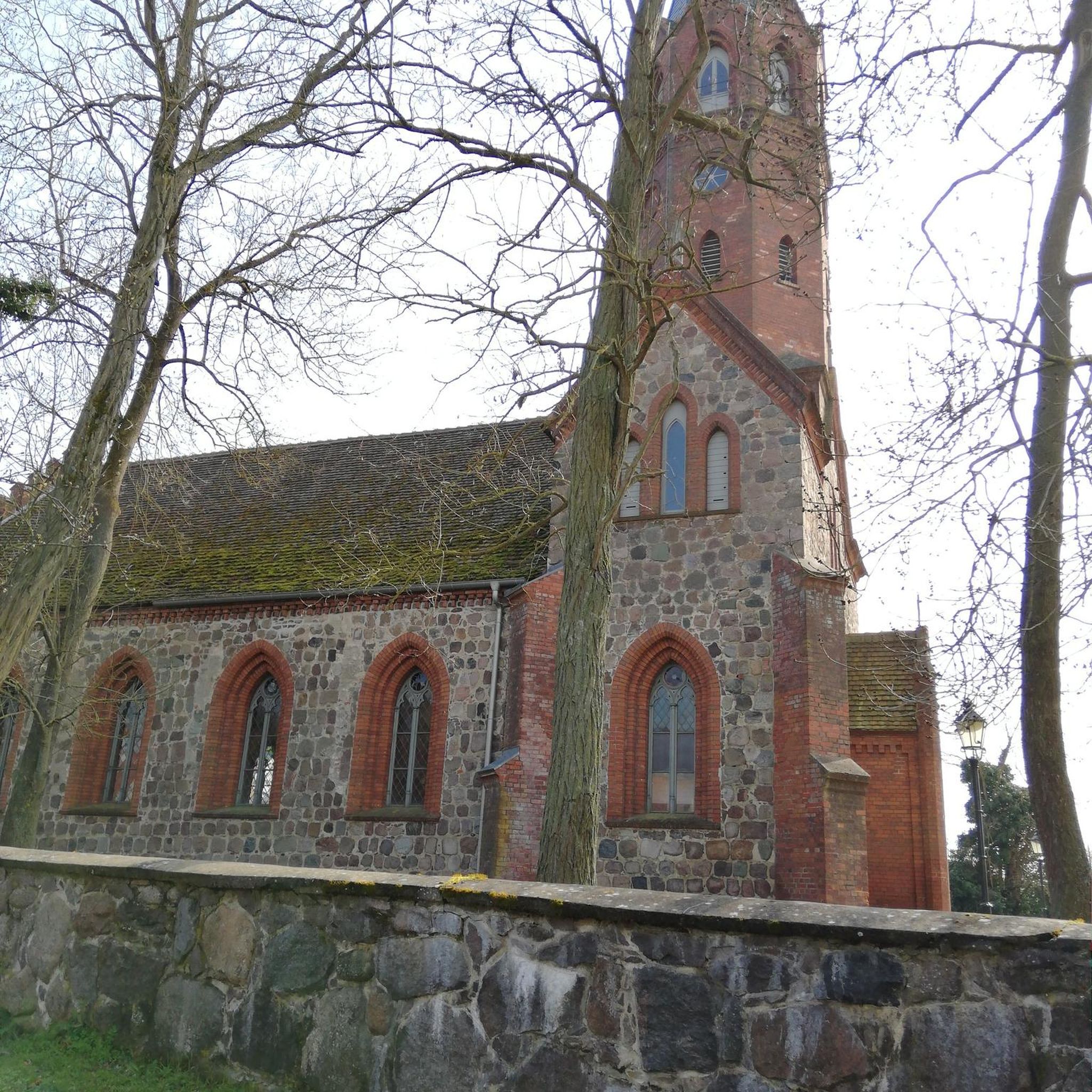
Just a couple of blink-and-you-miss-them cottages with a church. The road drops quickly into the village through a narrow, high-banked lane, which can make the uneven surface difficult to see if it's a bright day and you're wearing sunglasses.
0
0

With Great Chishill being located near the Cambridgeshire county top, naturally the downhill is eastbound. A gut-buster westbound.
0
0

A great gravel track. Popular with local dog walkers, so watch out!
0
0
This is also the highest point *on road* in Cambs, Essex, Norfolk & Suffolk (Essex's county top is 1m higher but is in the middle of a wood - its highest point on road is 139m)
1
0
Warning: supplementary oxygen advised for the high altitude ascent to the most elevated point in the county. Cold weather clothing recommended and don’t linger too long to avoid danger of frostbite - grab your pic, maybe plant a flag, then quickly descend to safer altitudes.
5
0
Frequently Asked Questions
How many running routes are available in the Chrishall area?
There are over 10 dedicated running routes around Chrishall, catering to various preferences. These include a mix of easy, moderate, and challenging trails, ensuring there's something for every runner.
What kind of terrain can I expect on the jogging routes near Chrishall?
The running routes around Chrishall feature a diverse landscape, from quiet country lanes and open farmland to ancient pathways like the Icknield Way. You'll experience gently rolling countryside, offering both scenic views and a serene environment for your run.
Are there any easy or beginner-friendly running paths in Chrishall?
Yes, Chrishall offers a couple of easy running routes perfect for beginners or those looking for a more relaxed pace. These paths typically feature gentler inclines and well-maintained surfaces, allowing for an enjoyable introduction to the area's beautiful scenery.
Can I find challenging running trails around Chrishall?
Absolutely. For runners seeking a challenge, Chrishall has several difficult routes. Given its elevated position, including Chrishall Common (the highest point in Essex), you'll find trails with more significant elevation changes and varied terrain to test your endurance.
Are there any circular running routes available?
Many of the running routes in Chrishall are designed as loops, offering convenient circular paths. For example, the Mead Bushes Wood – Cane's Walks loop from Heydon and the Bottom Roughway Wood loop from Heydon are popular options that bring you back to your starting point.
What are some scenic highlights or landmarks I might see while running in Chrishall?
While running in Chrishall, you'll enjoy wide-ranging views over the gently rolling countryside, especially from elevated points like Chrishall Common. You might also pass by the historic Holy Trinity Church, a beautiful 12th-century building, or experience sections of the ancient Icknield Way. For specific points of interest nearby, consider exploring Audley End House or the Chapel Hill Climb.
What do other runners say about the trails in Chrishall?
The running routes in Chrishall are highly regarded by the komoot community, boasting an average rating of 4.6 stars from over 40 reviews. Runners frequently praise the tranquil rural setting, the scenic views, and the well-maintained paths that offer a peaceful and immersive natural experience.
Are there any long-distance running options in the area?
Yes, Chrishall is home to a section of the ancient Icknield Way, a historic track that forms part of a 170-mile route. While the full route is extensive, you can incorporate sections of it into longer runs, enjoying its elevated position and excellent views. Routes like the Bottom Roughway Wood loop from Heydon also offer a good distance at over 11 km.
Are there any running routes that pass by a pub or offer a refreshment stop?
Yes, for those who enjoy a post-run refreshment, the The Cow Pub loop from Heydon is a popular choice. This route specifically guides you through rolling countryside and includes the pub, making it a great option for combining your run with a relaxing stop.
Is Chrishall well-suited for quiet or secluded running experiences?
Chrishall is known for its rural isolation and 'off the beaten track' feel. Modern roads have largely avoided the village, contributing to less traffic and a more serene environment. This makes it an ideal destination for those seeking quiet jogging paths and a secluded running experience amidst unspoiled countryside.
What is the best time of year to go running in Chrishall?
Chrishall's natural beauty can be enjoyed year-round. Spring and summer offer lush green landscapes and longer daylight hours, while autumn brings vibrant foliage. Even in winter, the quiet country lanes and open farmland provide a crisp, serene environment for running, though appropriate gear is recommended.
Are there any family-friendly running paths in Chrishall?
While specific 'family-friendly' routes aren't explicitly designated, the area's easy and moderate trails, characterized by quiet country lanes and open farmland, can be suitable for families. The serene environment and lack of heavy traffic make for a pleasant experience for all ages.
What is the average difficulty of running routes in Chrishall?
The majority of running routes in Chrishall are rated as moderate difficulty. This means they often involve some elevation changes and varied terrain, providing a good workout without being overly strenuous. There are also easier and more difficult options available to suit different fitness levels.
Most popular attractions around Chrishall

Get inspired with the komoot mobile app


Explore more
Browse the best Running Trails & Routes in other regions.
