The best walks and hikes around Birchanger
4.5
(358)
2,000
hikers
335
hikes
Hiking trails around Birchanger traverse a landscape characterized by gentle rolling terrain, open fields, and scattered woodlands. The area offers accessible paths suitable for various activity levels, with minimal elevation changes. These routes often follow rural tracks and bridleways, providing a connection to the local countryside.
Best hiking trails around Birchanger
- The most popular hiking route is Hiking loop from Stansted Mountfitchet, a 3.2 miles (5.1 km) trail that takes 1 hour 19 minutes to complete. This easy route…
Last updated: October 5, 2026
4.0
(1)
11
hikers
5.14km
01:20
40m
40m
Easy hike. Great for any fitness level. Easily-accessible paths. Suitable for all skill levels.
4.6
(5)
9
hikers
Moderate hike. Good fitness required. Easily-accessible paths. Suitable for all skill levels.

5.0
(1)
7
hikers
Easy hike. Great for any fitness level. Easily-accessible paths. Suitable for all skill levels.
5.0
(1)
7
hikers
12.3km
03:17
130m
130m
Moderate hike. Good fitness required. Easily-accessible paths. Suitable for all skill levels.
8
hikers
4.96km
01:18
40m
40m
Easy hike. Great for any fitness level. Easily-accessible paths. Suitable for all skill levels.
Get access to more routes and recommendations from other explorers.
Already have an account?
Our route recommendations are based on thousands of hikes, rides, and runs completed by other people on komoot.
Start today with a free account
Your next adventure awaits.

Tips from the Community

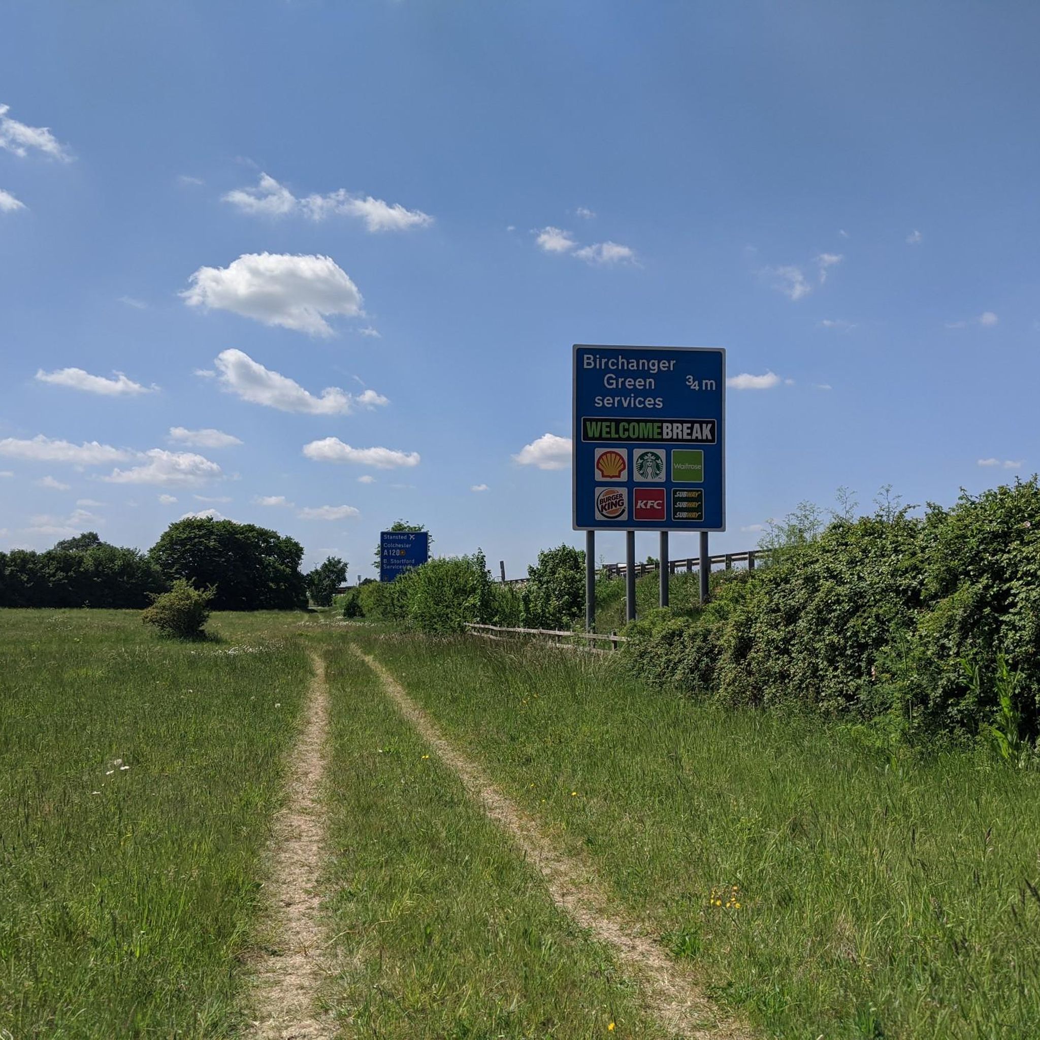
Accessing from Ugley Green, the narrow entrance to the bridleway can be easily missed and may also not seem that appealing at first, but the bridleway widens considerably and offers scenic views.
0
0


Yeomans cafe has a gate at the back to a small outside area for your bike but you'll probably have to ask to unlock.
0
0

Uppers Coffee by the roundabout at the end of the high street is a good place for a refuel stop.
0
0

It is a good place to stop and try the three pubs . Castle mound and Toy Museum. other places to eat and drink. train station and co-op.
0
0

A very wet and messy stretch of bridleway, which even in wet spells in summer can be a mess, the soil is soggy as hell. For cyclists, in better conditions, this stretch is better traversed westbound, as the southern part in the wood will be downhill.
0
0

In stormy spells in winter, this stretch can be impassable. Luckily, Longcroft, running parallel, provides a get-out.
0
0
Frequently Asked Questions
How many hiking trails are available in Birchanger?
Birchanger offers a wide selection of hiking opportunities, with over 340 trails recorded on komoot. These range from easy strolls through open fields to more challenging moderate routes through woodlands.
Are there easy hiking trails suitable for beginners in Birchanger?
Yes, Birchanger is well-suited for beginners and those looking for gentle walks. There are over 170 easy routes available. A good option to start with is the Coffee Stop – Flood-Prone Road loop from Stansted Mountfitchet, which is just under 5 km and features minimal elevation changes.
What kind of views can I expect on hikes in Birchanger?
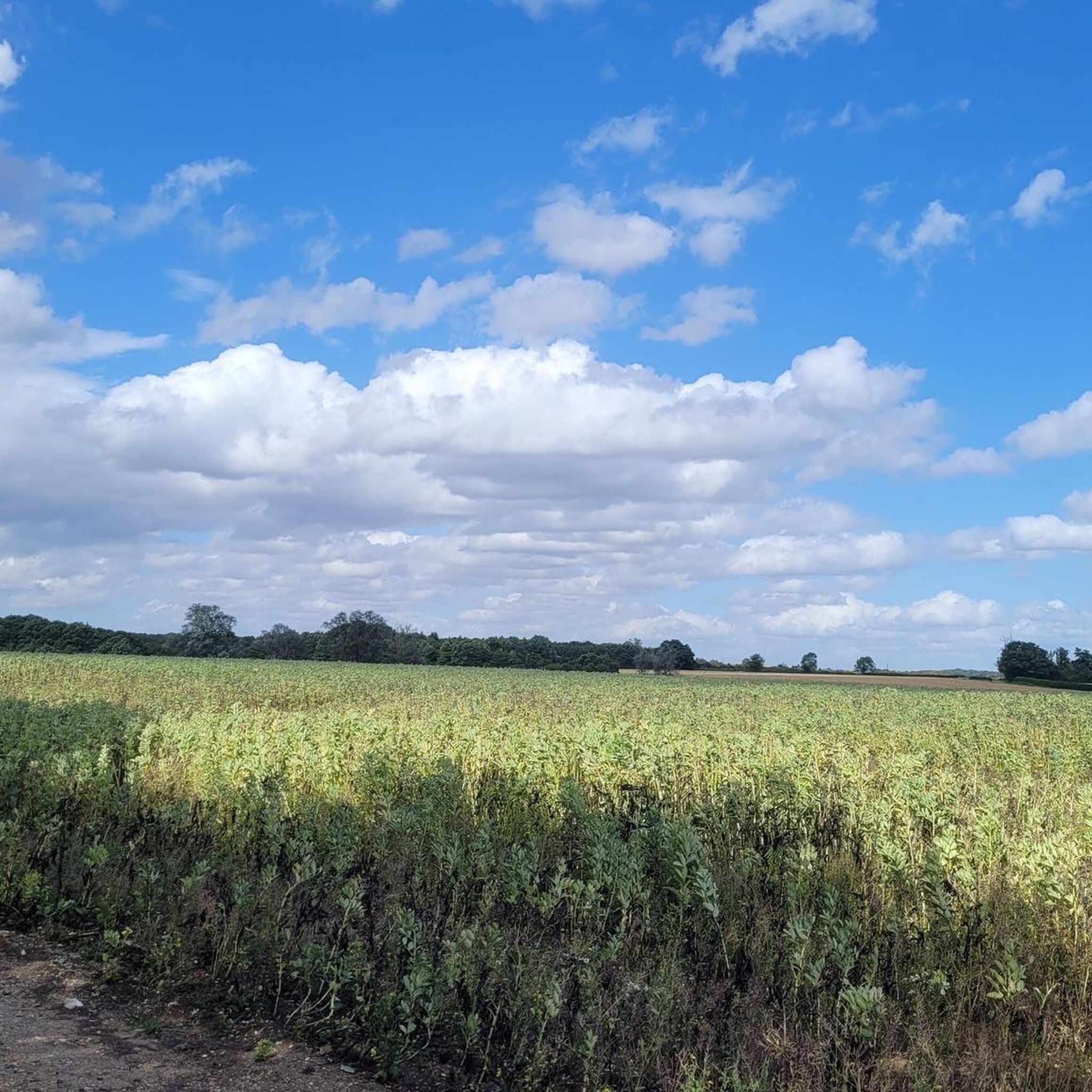
Hikes in Birchanger typically offer views of the quintessential English countryside. You'll encounter gentle rolling terrain, expansive open fields, and peaceful woodlands. The routes often follow rural tracks and bridleways, providing a serene connection to the local landscape.
Are the hiking trails in Birchanger suitable for families with children?
Many of the trails in Birchanger are suitable for families, especially those looking for easy, relatively flat walks. The landscape of gentle fields and woodlands provides a pleasant environment for children. Look for the 'easy' graded routes on komoot for the most family-friendly options.
Are dogs allowed on the hiking trails around Birchanger?
Generally, dogs are welcome on the public footpaths and bridleways around Birchanger. However, it's always recommended to keep dogs on a lead, especially when passing through farmland with livestock or during nesting seasons, to protect wildlife and farm animals.
Can I find circular hiking routes in Birchanger?
Yes, many of the hiking routes in Birchanger are circular, allowing you to start and end at the same point. An example is the Long Belt loop from Stansted Mountfitchet, a moderate 12.3 km trail that takes you through varied terrain.
What do other hikers enjoy most about hiking in Birchanger?
The hiking experience in Birchanger is highly rated by the komoot community, with an average score of 4.6 stars from nearly 300 reviews. Hikers often praise the peaceful rural landscapes, the accessibility of the paths, and the opportunity to explore local woodlands and fields.
Are there any interesting natural or historical sights to see along the trails?
Yes, the area around Birchanger offers several points of interest. You might encounter natural features like Hatfield Forest Lake or historical sites such as St John the Evangelist Church, Bush End. These can add an extra dimension to your hike.
Are there any hikes in Birchanger that include a pub stop?
While specific pub stops aren't always marked on every route, Birchanger and its surrounding villages are part of the English countryside, where traditional pubs are common. Many routes pass near villages, making it possible to plan a stop for refreshments. You can often find local pubs near the start or end points of trails, especially in Stansted Mountfitchet.
How can I get to the hiking trails in Birchanger using public transport?
Birchanger is located close to Stansted Mountfitchet, which has a train station with connections to London and Cambridge. Many of the hiking routes start from or are accessible near Stansted Mountfitchet, making it feasible to reach them via public transport. Check local bus services for access to other trailheads further afield.
Where can I park when hiking in Birchanger?
Parking availability varies depending on the specific trailhead. Many routes start from villages like Stansted Mountfitchet, where public car parks or on-street parking might be available. Always check local signage for parking restrictions and fees. For rural trailheads, look for designated lay-bys or small car parks, but be mindful not to obstruct local access.
Are there any trails that are particularly good for winter hiking?
The gentle terrain and well-established rural tracks in Birchanger can be suitable for winter hiking, provided conditions are not excessively muddy or icy. The open fields offer clear views, and woodlands can provide some shelter. For a moderate winter walk, consider the Wet and Muddy Bridleway – Ford on the Road Dip loop from Stansted Mountfitchet, but be prepared for potentially muddy sections as its name suggests.
Most popular attractions around Birchanger

Get inspired with the komoot mobile app


Explore more
Browse the best Hikes in other regions.
