The best MTB trails around Trattenbach
4.3
(747)
5,111
riders
11
rides
Mountain biking around Trattenbach is characterized by its diverse terrain, featuring forested slopes and high-alpine pastures. The region presents significant elevation changes, with routes often climbing through dense woodlands. Trails frequently connect various mountain huts and saddles, indicating a network designed for exploring the higher elevations of the area.
Best mountain bike trails around Trattenbach
- The most popular mountain bike trail is Hochwechsel Trail North – Marienseer Schwaig loop from Feistritzsattel, a 21.0 miles (33.9 km) trail that takes…
Last updated: October 5, 2026
4.6
(8)
29
riders
Moderate mountain bike ride. Good fitness required. Advanced riding skills necessary.
4.8
(4)
25
riders
26.0km
03:17
1,200m
1,200m
Hard mountain bike ride. Very good fitness required. Advanced riding skills necessary. Some portions of the route may require you to push your bike.

4.3
(4)
16
riders
34.5km
03:08
1,010m
1,010m
Hard mountain bike ride. Very good fitness required. Advanced riding skills necessary.
5.0
(3)
18
riders
Moderate mountain bike ride. Good fitness required. Suitable for all skill levels.
5.0
(1)
16
riders
19.6km
01:22
390m
390m
Moderate mountain bike ride. Good fitness required. Suitable for all skill levels.
Get access to more routes and recommendations from other explorers.
Already have an account?
Our route recommendations are based on thousands of hikes, rides, and runs completed by other people on komoot.
Start today with a free account
Your next adventure awaits.
Other adventures around Trattenbach

Tips from the Community

Good place for a break during hikes or bike rides
0
0

This "Wu" is equivalent to Vááááóóóó, which means a crazy positive surprise because of the view. I don't think it's undeserved.... The view is fantastic, and the trail is similarly great!
0
0
At the highest pasture of Molzegg, we reach the farm, which also provides meals. The self-service honesty box system is located in the backyard of the house. Payment is by cash. We can sit in the area facing the parking lot, but it is also very spacious inside, with plenty of seating. The service is friendly, and they bring our order to the table.
0
0

The Hochwechsel Trail Nord leads through the open alpine and mountain landscape of the Wechsel region up towards Hochwechsel. The path, which runs predominantly on loose ground, is actually part of the Wexl Trails mountain bike trail network, but can also be used in sections as a connection along a hiking route. Especially in the upper section, the route offers beautiful views over the extensive Wechsel Alps and the surrounding mountain world.
3
0
The Dreiländereck lies in a saddle between Arabichl and Umschußriegel and is an important junction in the Wechsel area. Contrary to what the name suggests, three federal states do not meet here; the designation apparently dates back to the confluence of three property boundaries. From here, paths branch off in the direction of Hochwechsel, Marienseer Schwaig, Kranichberger Schwaig, and Steyersberger Schwaig, among others.
4
0
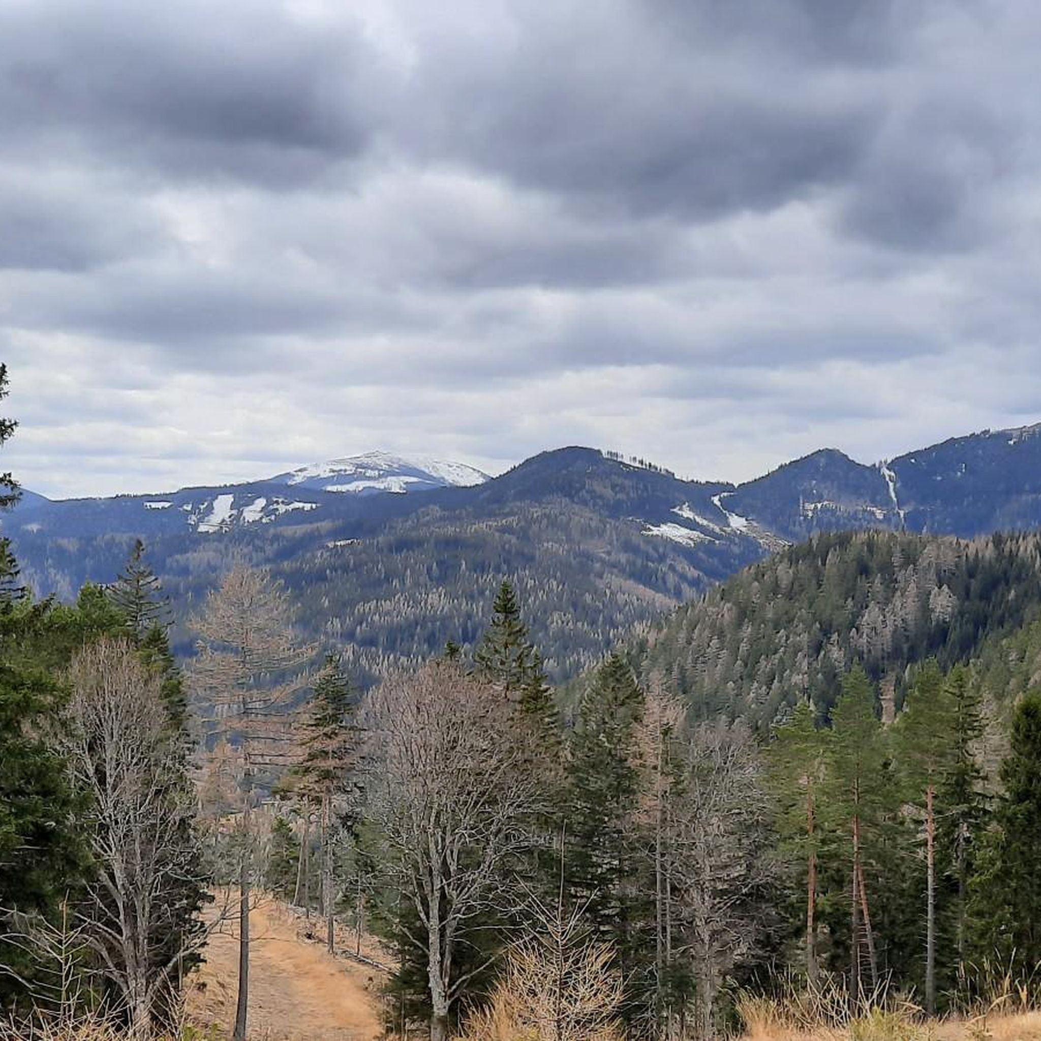
From here, a beautiful view opens up across to the Stuhleck, the highest peak of the Fischbach Alps at around 1,780 meters. The distinctive mountain ridge is always clearly visible from the area around the Feistritzsattel. Especially with clear visibility, it is a worthwhile place to stop for a moment and enjoy the panorama.
2
0
The small mountain hut is located directly on the Feistritzsattel and is a striking landmark at the transition between Lower Austria and Styria. Immediately next to it are a large parking lot and several hiking trails; the Feistritzsattel is a popular starting point for tours in the direction of Wechsel and Semmering. The mountain hut itself is more of a simple base than a classic managed mountain hut.
3
0

Particularly good food, goulash from the farm s own Galloway beef, nice beer garden and separate winter garden, very friendly family, can only be recommended in the warmest terms
1
0
Frequently Asked Questions
What is the general difficulty level of mountain bike trails in Trattenbach?
Mountain biking around Trattenbach offers a range of difficulties. While there are 6 easy routes, the majority of trails are either moderate (68 routes) or difficult (78 routes), featuring significant elevation changes and often climbing through dense woodlands. The region is known for its challenging ascents and technical descents.
Are there mountain bike trails suitable for beginners in Trattenbach?
Yes, Trattenbach offers 6 easy mountain bike routes that are suitable for beginners. These trails provide a good introduction to the region's terrain without the demanding technical sections found on more advanced routes.
What are some advanced mountain bike routes in Trattenbach?
For experienced riders, Trattenbach features 78 difficult mountain bike routes. An example of a challenging trail is the Steyersberger Hut – Feistritzsattel Mountain Hut loop from Trattenbach, which covers 34.5 km with over 1000 meters of elevation gain.
Are there circular mountain bike trails available in Trattenbach?
Yes, many mountain bike trails in Trattenbach are designed as loops. For instance, the Feistritz Castle – Gasthof Pension St. Wolfgang loop from Otterthal is a moderate 49.5 km circular route that allows you to start and end at the same point.
What is the best time of year for mountain biking in Trattenbach?
The best time for mountain biking in Trattenbach is typically from late spring through early autumn (May to October). During these months, the weather is generally more stable, and trails are free of snow, offering optimal conditions for exploring the forested slopes and high-alpine pastures.
What kind of viewpoints can I expect along the mountain bike trails in Trattenbach?
The mountainous terrain around Trattenbach offers numerous opportunities for scenic viewpoints. You might encounter stunning vistas from high-alpine pastures or specific lookout points. For example, the Luckerte Wand Rock Formation and Viewpoint offers impressive views.
Are there any interesting landmarks or attractions to see near the mountain bike trails?
Yes, the Trattenbach area is rich in natural and historical attractions. Along your rides, you might discover fascinating caves like Falkenstein Cave or Hermann Cave. Other notable points of interest include the Chapel and summit cross on the Hochwechsel and the Hirschenkogel Millennium Observation Tower.
What do other mountain bikers enjoy most about the trails in Trattenbach?
The komoot community highly rates mountain biking in Trattenbach, with an average score of 4.4 stars from over 600 reviews. Riders often praise the diverse terrain, which includes both dense woodlands and open alpine meadows, as well as the challenging ascents and rewarding descents.
How long do mountain bike trails near Trattenbach typically take to complete?
The duration of mountain bike trails in Trattenbach varies significantly depending on the route's length and difficulty. For example, a moderate 24.3 km trail like the Hochwexl "The WU" Trail can take around 2 hours 40 minutes, while a difficult 26 km route such as the Liechtensteinhaus – Bikepark Semmering loop might take approximately 3 hours 16 minutes.
Are there options for parking near the mountain bike trails in Trattenbach?
Yes, many mountain bike trails in the Trattenbach region, especially those starting from popular access points like Feistritzsattel or Trattenbach itself, offer designated parking areas. It's advisable to check the specific tour details on komoot for information on parking availability at the trailhead.
Can I find cafes or mountain huts along the mountain bike trails for refreshments?
Yes, the trail network in Trattenbach frequently connects various mountain huts and guesthouses, especially in the higher elevations. These provide opportunities for refreshments and rest stops. Examples include the Pottschacher Hut and the Waldburganger Hut.
Most popular routes around Trattenbach
Most popular attractions around Trattenbach

Get inspired with the komoot mobile app


Explore more
Browse the best MTB trails in other regions.
