The best walks and hikes around Flitch Green
4.6
(223)
950
hikers
107
hikes
Hikes around Flitch Green are centered on the Flitch Way, a former railway line converted into a linear country park. The area's landscape is characterized by gentle, rolling countryside and green corridors connecting local communities. The walking trails near Flitch Green often follow these well-maintained paths through woodlands and open fields, offering accessible routes with minimal elevation changes.
Best hiking trails around Flitch Green
- The most popular hiking route is Flitch Way Country Park – David Cock Community Woodland loop from Flitch Green, a 5.1 mile (8.2 km) trail that takes about 2 hours 10 minutes to complete. The route combines sections of the Flitch Way with paths through the David Cock Community Woodland.
- Another top favourite among local hiking enthusiasts is Hiking loop from Flitch Green, an easy 3.8 mile (6.2 km) path. This is a shorter circular walk that explores the immediate countryside and public footpaths around the village.
- Local hiking enthusiasts also love the Flitch Way Country Park loop from Felsted, a 5.3 mile (8.6 km) trail leading through the Flitch Way Country Park, often completed in about 2 hours 15 minutes.
- Hiking around Flitch Green is defined by its use of the Flitch Way, a traffic-free path, combined with routes through community woodlands and across open farmland. The network of public footpaths provides options for both short, family-friendly walks and longer hikes.
- The routes in Flitch Green are highly rated by the komoot community with an average score of 4.7 stars from over 180 reviews. More than 900 hikers have used komoot to explore Flitch Green's varied terrain.
Last updated: October 10, 2026
5.0
(3)
11
hikers
Easy hike. Great for any fitness level. Easily-accessible paths. Suitable for all skill levels.
7
hikers
Easy hike. Great for any fitness level. Easily-accessible paths. Suitable for all skill levels.

5.0
(1)
8
hikers
Moderate hike. Good fitness required. Easily-accessible paths. Suitable for all skill levels.
4
hikers
6.12km
01:34
30m
30m
Easy hike. Great for any fitness level. Easily-accessible paths. Suitable for all skill levels.
5.0
(2)
7
hikers
6.51km
01:43
50m
50m
Easy hike. Great for any fitness level. Easily-accessible paths. Suitable for all skill levels.
Get access to more routes and recommendations from other explorers.
Already have an account?
Our route recommendations are based on thousands of hikes, rides, and runs completed by other people on komoot.
Start today with a free account
Your next adventure awaits.


Tips from the Community

Easy route, suitable for all bikes and ages. Can be bumpy in places.
0
0

Bannister Green Halt was sited on the up side of the line and consisted of a clinker platform with timber facing raised to rail level; it was attended by staff from Felsted or Rayne Stations. It was one of two halts built by the GER in 1922 to attract passengers to the railway and counteract the then recently introduced bus service. Passengers joining or alighting at the halt were required to use retractable steps mounted by the side of the coach and operated by the guard.
0
0

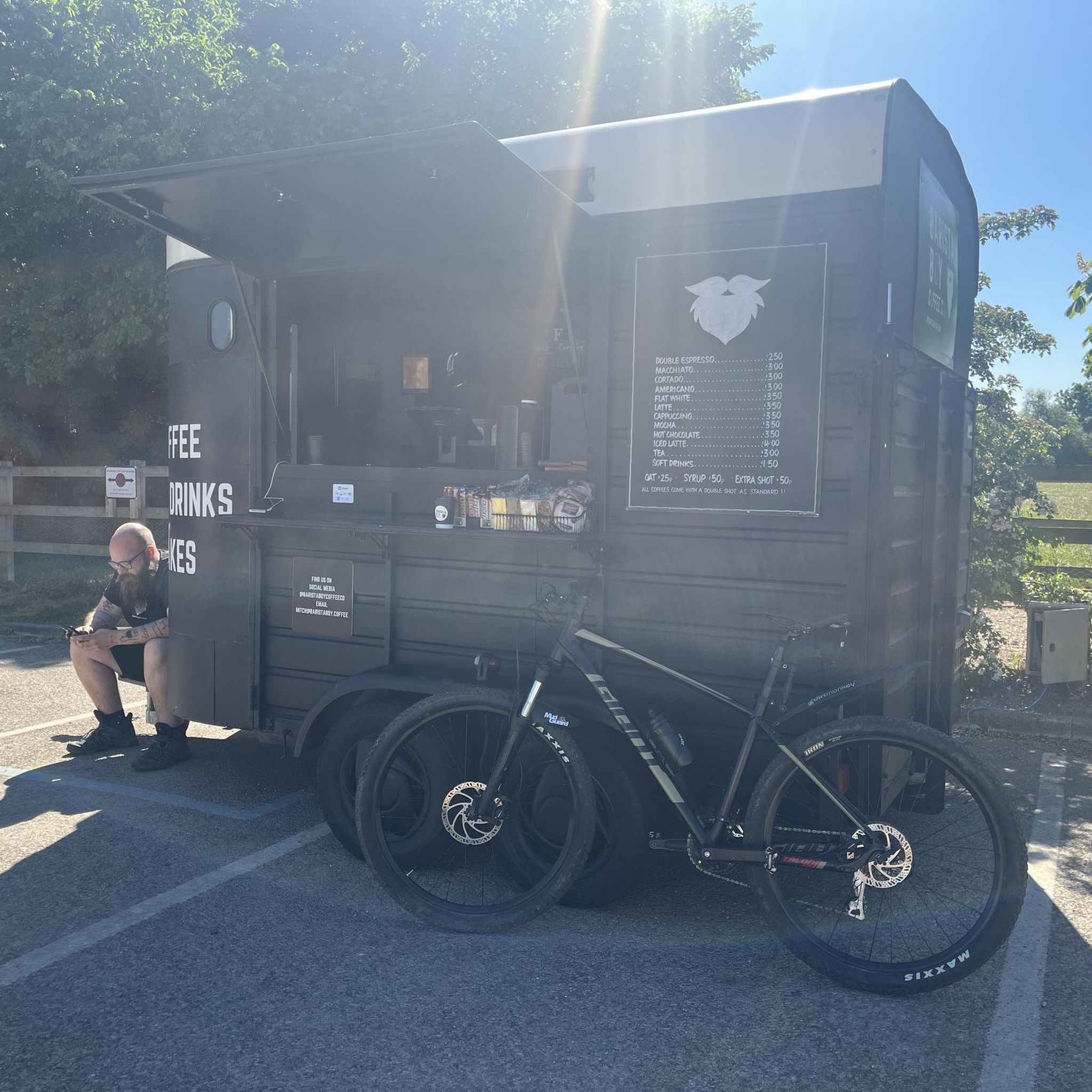
Excellent coffee by a passionate barista, far better than the majority of cafes
0
0
Alot fly tipping over from the travellers site, beware of sharp objects on the cycleway.
0
0

Former halt on Flitch Way railway route. Great for a gravel bike ride!
0
0

Be careful if you have less than nobbly tyres as the wooden slats become slippery when wet.
0
0

Running for 15 miles between Bishop's Stortford and Braintree, the Flitch Way is totally traffic free and very flat. It is a fantastic place to hike with a good surface. The railway was opened in 1869 but closed 83 years later in 1952. It continued to operate for freight only until 1972. There is a cafe, toilets and visitors centre to the east of here at Rayne.
0
0
Frequently Asked Questions
Are the walking trails around Flitch Green suitable for families with children?
Yes, many trails are family-friendly. The area is known for its gentle, flat paths, especially along the Flitch Way. For a shorter, manageable walk, consider the Hiking loop from Felsted, which is an easy 5 km walk that avoids any significant climbs.
Can I bring my dog on the walks around Flitch Green?
Absolutely. The wide, traffic-free paths of the Flitch Way are ideal for dog walking. Most routes are suitable, but always be mindful of local signage, especially when crossing farmland or near nature reserves where wildlife is present.
Are there many circular walks available?
Yes, while the Flitch Way itself is a linear park, there are numerous circular routes that incorporate sections of it. These loops guide you through adjacent woodlands and fields before returning to your starting point. A good example is the Flitch Way loop from Flitch Green, which offers a pleasant 6.5 km circuit.
Where is the best place to park for a walk?
Parking is available at several points along the Flitch Way. Great Notley Country Park, which is adjacent to the trail, has a large car park. You can also find smaller parking areas near access points in towns like Rayne and Felsted, which are often the starting points for many popular circular hikes.
How do I get to the Flitch Way using public transport?
The Flitch Way can be accessed from several towns and villages that have bus services. Braintree, at the eastern end of the trail, has both a train station and extensive bus connections, making it a convenient starting point. Check local bus schedules for services to villages like Felsted or Rayne for mid-point access.
What do other hikers think of the routes around Flitch Green?
The area is highly regarded by the komoot community, with an average rating of 4.7 stars. Hikers frequently praise the well-maintained, traffic-free paths of the Flitch Way and the peaceful atmosphere of the surrounding Essex countryside and woodlands.
What is the general difficulty of the hiking trails?
The vast majority of trails are rated as easy or moderate. The landscape features gentle, rolling hills with minimal elevation change, making it accessible for most fitness levels. Out of over 100 routes in the area, only a couple are considered difficult, so there are plenty of relaxed options.
Are there any pubs or cafes along the Flitch Way?
Yes, you can find refreshments along the route. The village of Rayne, located on the Flitch Way, has a café at the old station's Carriage Museum, which is a popular spot for a break. Several villages near the trail, such as Felsted and Great Dunmow, also have traditional pubs for a post-hike meal or drink.
What kind of scenery and nature can I expect?
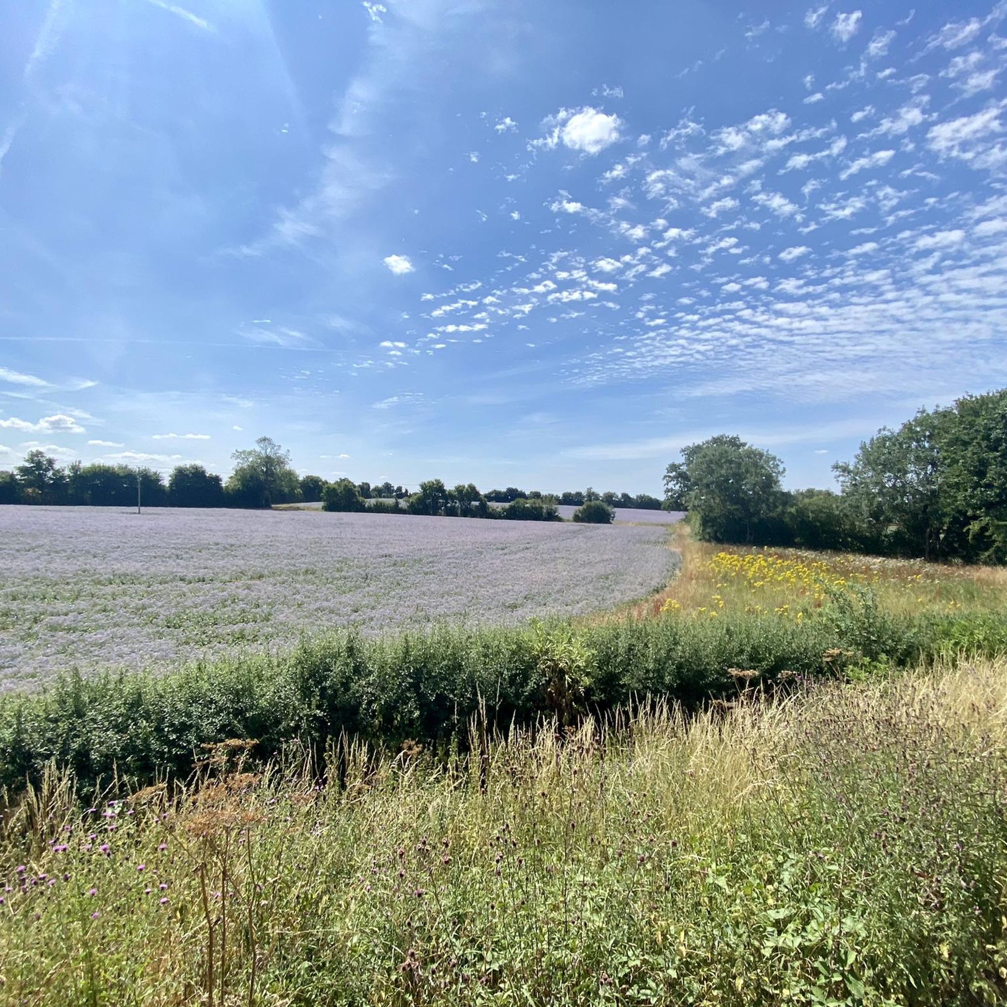
The walks are characterized by classic English countryside scenery. You'll hike through a green corridor of woodlands and open fields. The route passes by nature reserves like Langford Grove and connects to parks such as the David Cock Community Woodland, offering opportunities to see local wildlife and flora.
How many hiking trails are there around Flitch Green?
There are over 100 different hiking routes to explore around Flitch Green. These range from short, easy loops perfect for a quick stroll to longer, more involved treks that cover significant sections of the Flitch Way and surrounding public footpaths.
Most popular routes around Flitch Green
Most popular attractions around Flitch Green

Get inspired with the komoot mobile app


Explore more
Browse the best Hikes in other regions.
