The best mountain hikes around Brand-Laaben
5.0
(2)
14
hikers
4
hikes
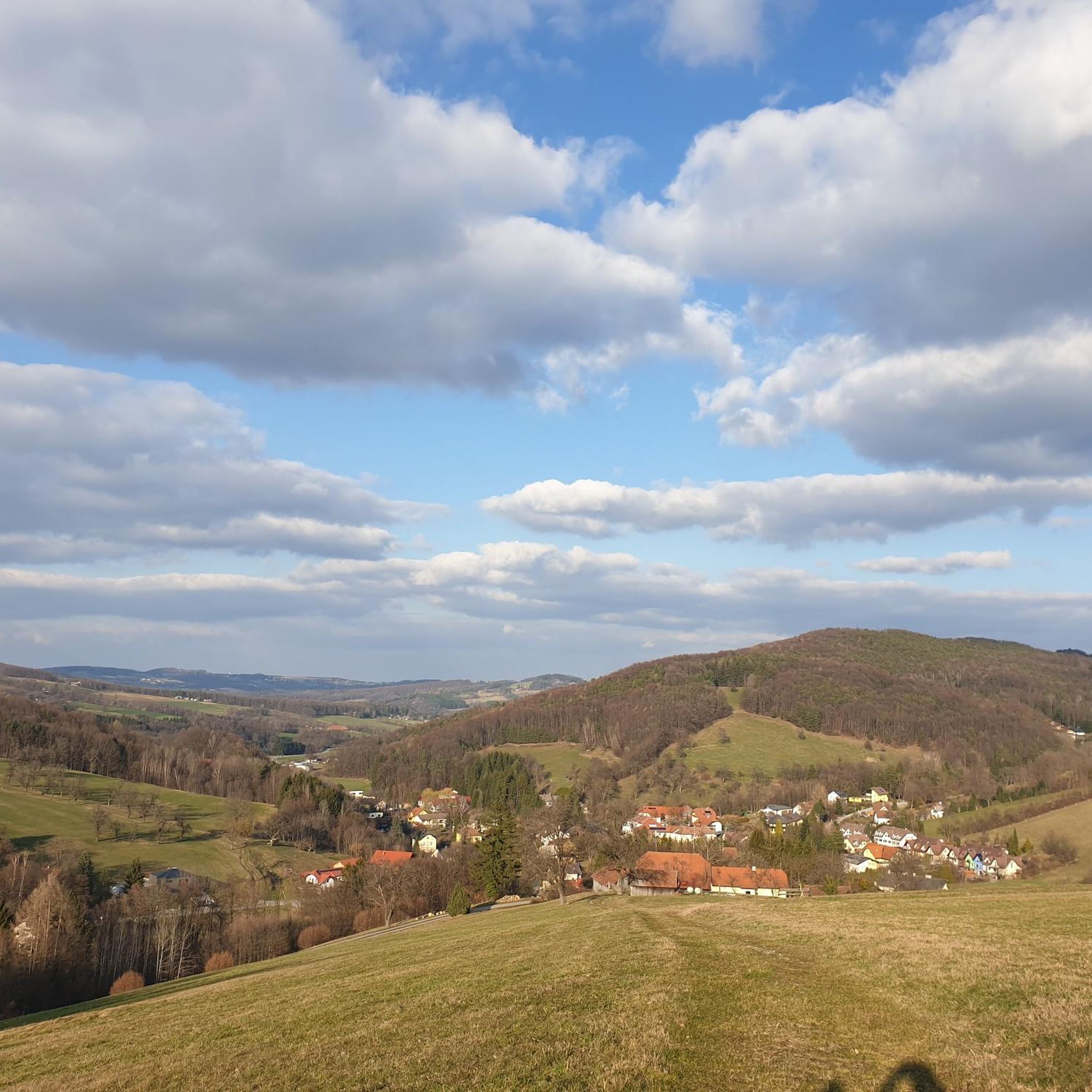
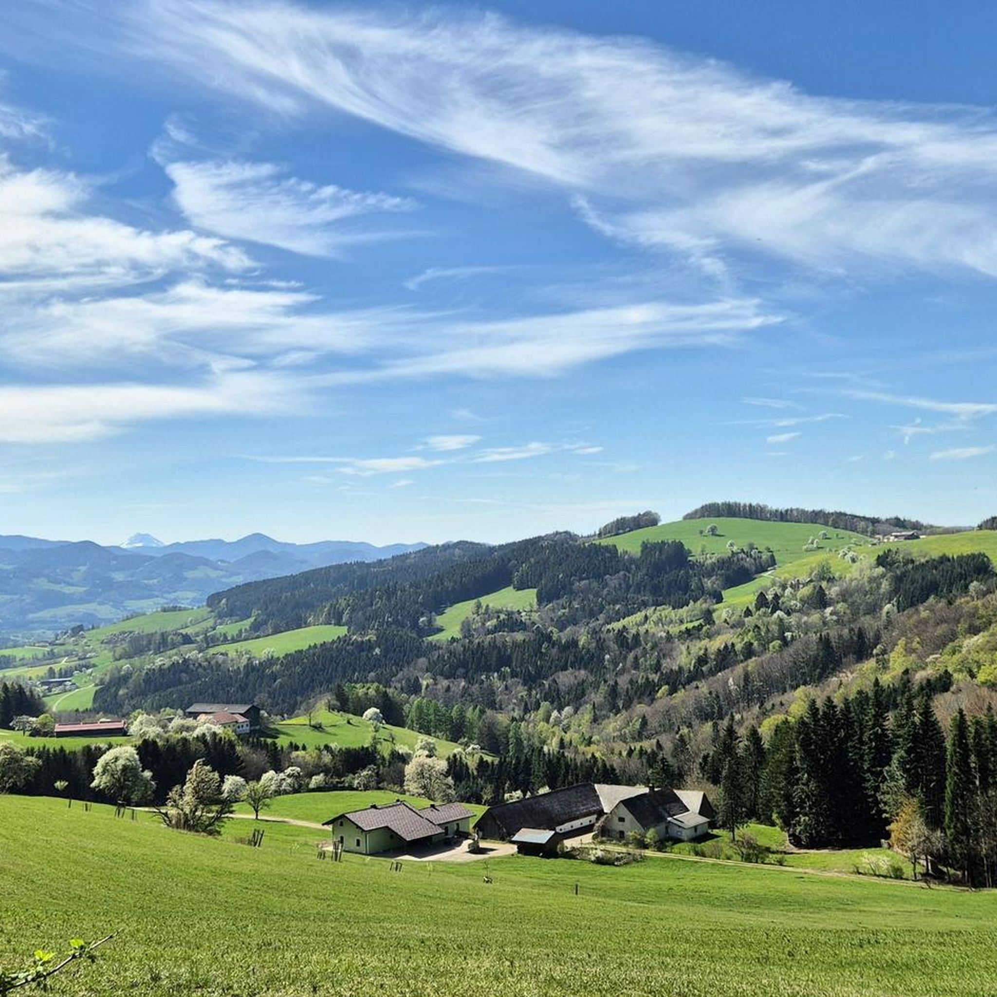
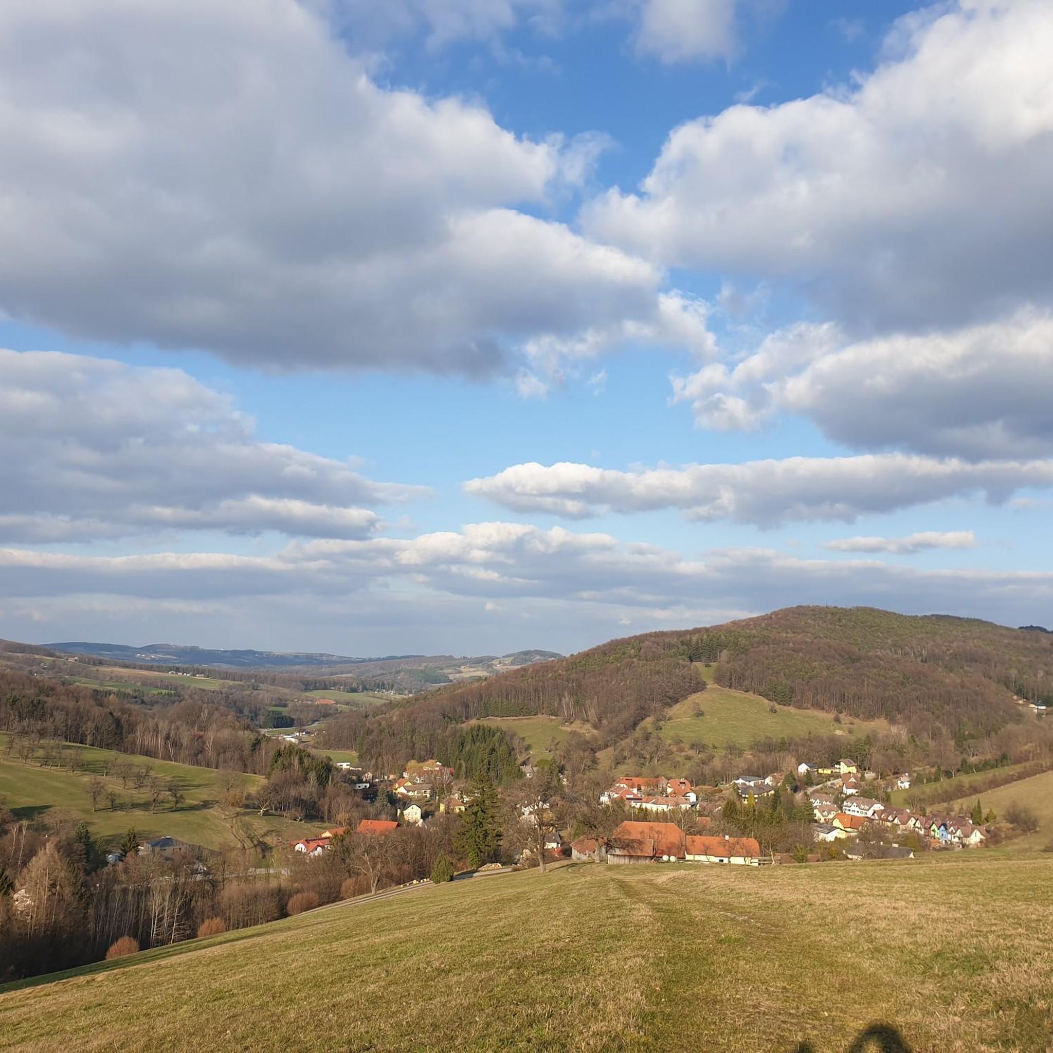
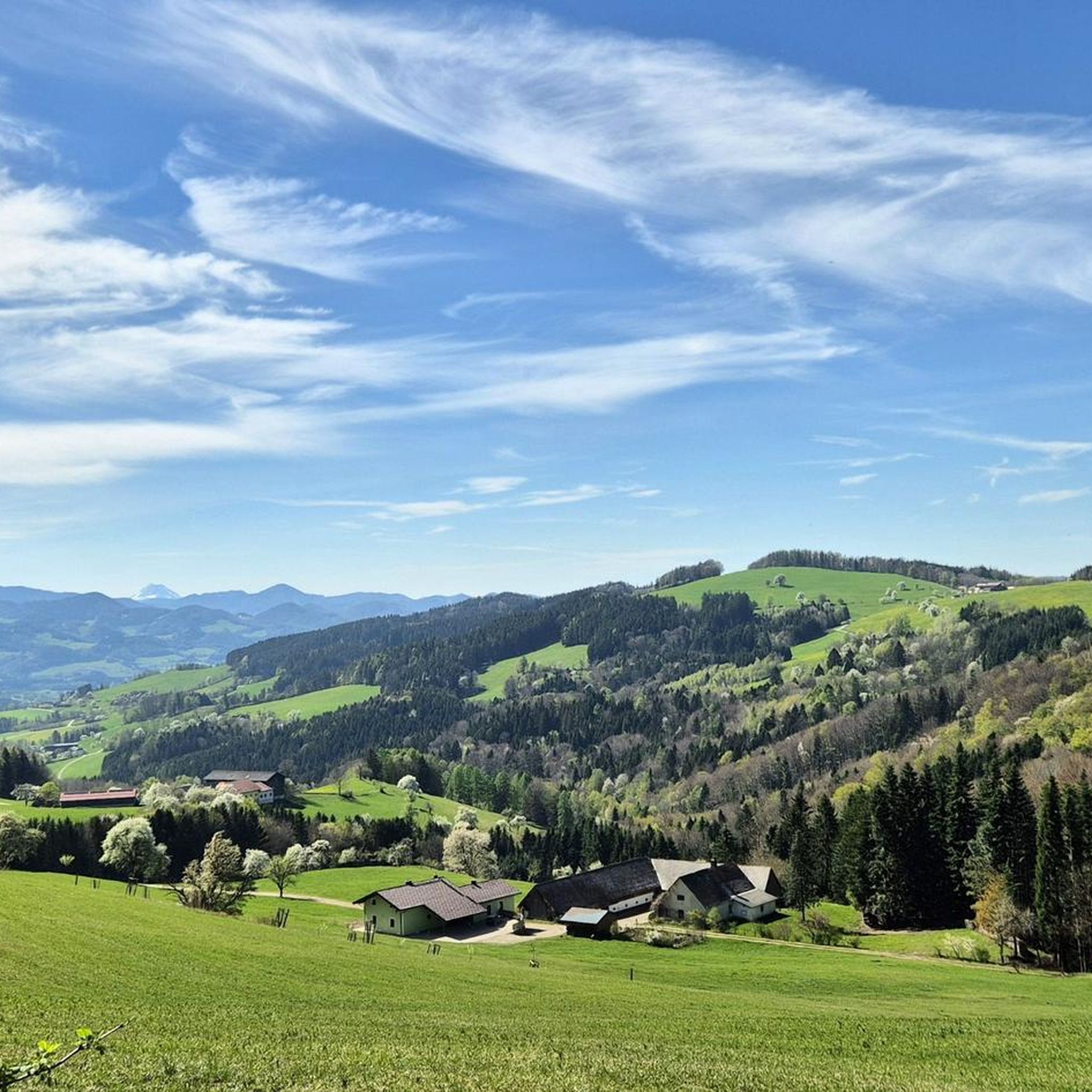
Mountaineering routes around Brand-Laaben are situated within the Vienna Woods, at the base of the Schöpfl mountain. This region is characterized by a diverse landscape, with the Schöpfl, at 893 meters, serving as the highest elevation and offering extensive views. The area features the idyllic Laabental valley and provides varied terrain suitable for outdoor activities.
Best mountaineering routes around Brand-Laaben
- The most popular mountaineering route is Summit cross on Schöpfl – Matras-Warte on the Schöpfl loop from Biosphärenpark Wienerwald Kernzone Hirschenstein, a 3.8 miles (6.0 km) trail that takes 2 hours 2 minutes to complete. This route leads to the Matraswarte observation tower, offering panoramic views.
- Another top favourite among local mountaineers is Hocheck-Schutzhaus loop from Katastralgemeinde Höfnergraben, a moderate 3.9 miles (6.4 km) path. This trail includes a stop at the Hocheck-Schutzhaus refuge.
- Local mountaineers also love the Hocheck-Schutzhaus – Tree Cross on Forststraße loop from Altenmarkt an der Triesting, a 8.7 miles (14.0 km) trail leading through varied forest terrain, often completed in about 4 hours 49 minutes.
- Mountaineering around Brand-Laaben is defined by the Schöpfl mountain, the Laabental Valley, and dense woodlands. The network offers options for different ability levels, from moderate ascents to more challenging paths.
- The routes in Brand-Laaben are highly rated by the komoot community with an average score of 5.0 stars from 2 reviews. More than 20 mountaineers have used komoot to explore Brand-Laaben's varied terrain.
Last updated: October 18, 2026
4
hikers
Moderate mountaineering route. Good fitness required. Easily-accessible paths. Suitable for all skill levels.
2
hikers
6.34km
02:37
510m
510m
Moderate mountaineering route. Good fitness required. Easily-accessible paths. Suitable for all skill levels.

4
hikers
11.8km
03:59
610m
610m
Moderate mountaineering route. Good fitness required. Mostly accessible paths. Sure-footedness required.
2
hikers
6.50km
02:32
460m
460m
Moderate mountaineering route. Good fitness required. Easily-accessible paths. Suitable for all skill levels.
5.0
(1)
1
hikers
Moderate mountaineering route. Good fitness required. Easily-accessible paths. Suitable for all skill levels.
Our route recommendations are based on thousands of hikes, rides, and runs completed by other people on komoot.
Start today with a free account
Your next adventure awaits.

Tips from the Community

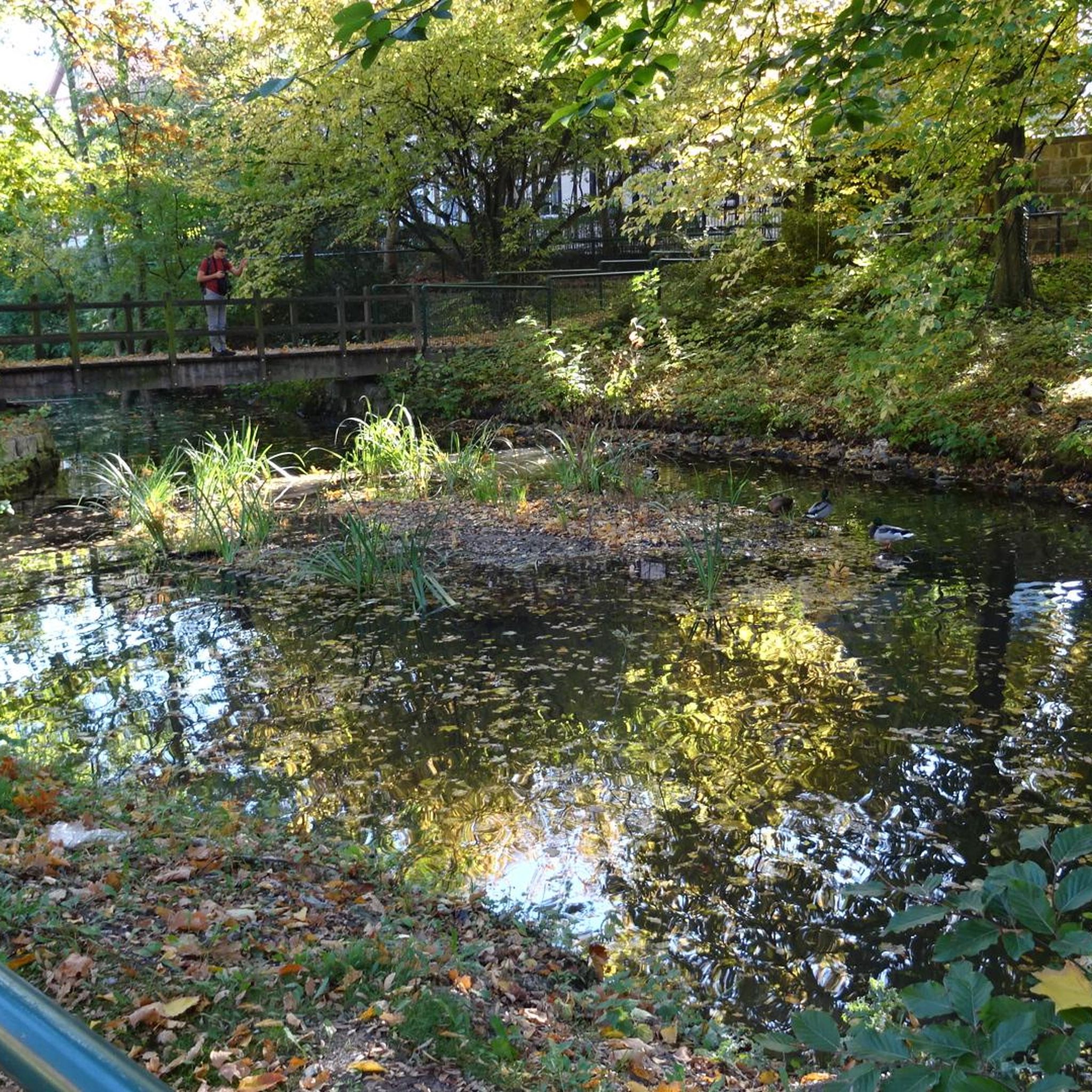
It looks very pretty. Although it's not entirely clear if the water really "does" anything :) With eye diseases?!? :) It tastes okay anyway.
0
0

Great view in good weather.
0
0

The Hockeck-Schutzhaus, located at over 1,000 m, with its Meyringer viewing platform is accessible via numerous hiking trails. The platform offers an impressive view over the Vienna Woods at the transition to the Prealps.
0
0
In the first phase, you clamber over stones between the windings of a small stream (no, it wasn't a rainy day…), then a slippery steep section follows, where you probably move most safely on all fours, followed by a few more unpleasant spots, and then a traverse along the slope that is as long as it is boring.
0
0

"Heimkehrer Kreuz" between Matras Warte and Schöpfl Schutzhaus.
1
0
The panoramic view from the steel tower of the former Kaiser Franz Joseph Warte and today's Franz Eduard Matras Warte still impresses. In a work published by Crown Prince Rudolf about the Austro-Hungarian Monarchy, the view is described so aptly that it still entices people to tour the mountain today. The Leopold-Figl-Observatorium is within sight. Only a few minutes' walk away, the Schöpfl-Schutzhaus of the ÖTK invites you to linger. In 1865, the Imperial Royal Forestry Authority built a viewing platform on the highest point of the Schöpfl at 893 meters. It originally served as weather protection for the still existing survey marker. Due to the good view, the platform quickly developed into a popular excursion destination. Source: https://schutz.haus/de/poi/aussichtsturm/matraswarte/13538804/
1
0

beautiful hut, easily accessible and open on weekends
0
0
nice hut, easily accessible and open on weekends
0
0
Frequently Asked Questions
How many mountaineering routes are available around Brand-Laaben?
There are 4 dedicated mountaineering routes around Brand-Laaben listed in this guide, offering a variety of experiences within the Vienna Woods.
What kind of terrain can I expect on mountaineering routes in Brand-Laaben?
The routes in Brand-Laaben feature diverse terrain, from the highest elevation of the Schöpfl mountain at 893 meters to the idyllic Laabental valley and dense woodlands. You'll find a mix of moderate ascents and more challenging paths, often leading through wondrous orchards and past berry bushes.
Are there any family-friendly mountaineering options in Brand-Laaben?
While mountaineering routes generally require a good level of fitness, some sections or shorter loops can be suitable for families with older children. For example, the Summit cross on Schöpfl – Matras-Warte on the Schöpfl loop is a moderate 6 km trail that leads to the Matraswarte observation tower, offering rewarding views that might appeal to families.
Are there any circular mountaineering routes in the area?
Yes, many of the mountaineering routes around Brand-Laaben are designed as loops. For instance, you can explore the Hocheck-Schutzhaus loop from Katastralgemeinde Höfnergraben, which is a moderate 6.4 km path, or the longer Hocheck-Schutzhaus – Tree Cross on Forststraße loop from Altenmarkt an der Triesting, covering 14 km.
What are some notable landmarks or viewpoints along the mountaineering trails?
Mountaineering routes in Brand-Laaben offer several points of interest. You can visit the Summit cross on Schöpfl and the Matraswarte observation tower for spectacular 360° panoramas. Other highlights include the Druidenstein Rock Needle and the Stone Circle at Pankraziberg.
Are there any refuges or huts for a break during a mountaineering tour?
Yes, you'll find convenient stops along some routes. The popular Schöpfl refuge (Hütte) is located very close to the Matraswarte. Another option is the Hainfelder Hütte on the Kirchenberg, which offers impressive views of the foothills of the Alps.
What do other mountaineers say about the routes in Brand-Laaben?
The mountaineering routes in Brand-Laaben are highly rated by the komoot community, with an average score of 5.0 stars from 2 reviews. More than 20 mountaineers have used komoot to explore the varied terrain, often praising the extensive views and natural beauty.
Can I bring my dog on the mountaineering trails?
Generally, dogs are welcome on hiking and mountaineering trails in the Vienna Woods. However, it's always advisable to keep them on a leash, especially in nature protection areas or near livestock, and to be mindful of other hikers and wildlife. Always check local regulations for specific routes.
What is the best time of year for mountaineering in Brand-Laaben?
Brand-Laaben offers a compelling environment for outdoor enthusiasts throughout much of the year. Spring and autumn provide pleasant temperatures and vibrant scenery, while summer allows for longer days. On clear days, the views from spots like the Matraswarte are particularly extensive, encompassing distant mountains like Schneeberg and Rax.
Are there any longer or more challenging mountaineering routes?
For those seeking a longer challenge, the Mountaineering loop from Altenmarkt an der Triesting covers approximately 11.8 km with significant elevation gain, offering a more demanding experience. Another option is the Mountaineering loop from Hainfeld, which is 6.4 km and also rated as moderate difficulty.
Is public transport available to access mountaineering trailheads in Brand-Laaben?
While Brand-Laaben is well-suited for outdoor activities, public transport options to specific trailheads can be limited. It's recommended to check local bus schedules in advance or consider driving to access the starting points of the mountaineering routes.
Are there any unique attractions near the mountaineering routes?
Beyond the natural beauty, you can find unique attractions. Near Mitterschöpfl, the Leopold Figl Observatory adds an interesting element to tours. For a different experience, the Kogelhof Bison Farm offers guided tours where you can see exotic wild cattle.
Most popular routes around Brand-Laaben
Most popular attractions around Brand-Laaben

Get inspired with the komoot mobile app


Explore more
Browse the best Mountain Hikes & Routes in other regions.
