The best mountain hikes around Raach am Hochgebirge
4.7
(6)
192
hikers
12
hikes
Mountaineering routes around Raach am Hochgebirge are situated in southeastern Lower Austria, characterized by gentle hills and extensive forests that cover a significant portion of the municipal area. The region offers broad, sweeping views from elevated points like the Otter mountain. It serves as a strategic base for accessing the more challenging alpine terrain of the Rax-Schneeberg Group, which includes the Schneeberg (2,076 m) and Rax (2,007 m) massifs. This combination provides diverse mountaineering experiences, from strenuous ascents to routes…
Last updated: October 18, 2026
4.7
(3)
44
hikers
15.5km
06:56
1,070m
1,070m
Hard mountaineering route. Very good fitness required. Mostly accessible paths. Sure-footedness required.
15
hikers
Hard mountaineering route. Very good fitness required. Mostly accessible paths. Sure-footedness required.

8
hikers
10.3km
04:23
770m
770m
Moderate mountaineering route. Good fitness required. Mostly accessible paths. Sure-footedness required.
7
hikers
17.8km
05:24
590m
590m
Hard mountaineering route. Very good fitness required. Easily-accessible paths. Suitable for all skill levels.
4
hikers
8.63km
03:33
580m
580m
Moderate mountaineering route. Good fitness required. Mostly accessible paths. Sure-footedness required.
Get access to more routes and recommendations from other explorers.
Already have an account?
Our route recommendations are based on thousands of hikes, rides, and runs completed by other people on komoot.
Start today with a free account
Your next adventure awaits.
Tips from the Community

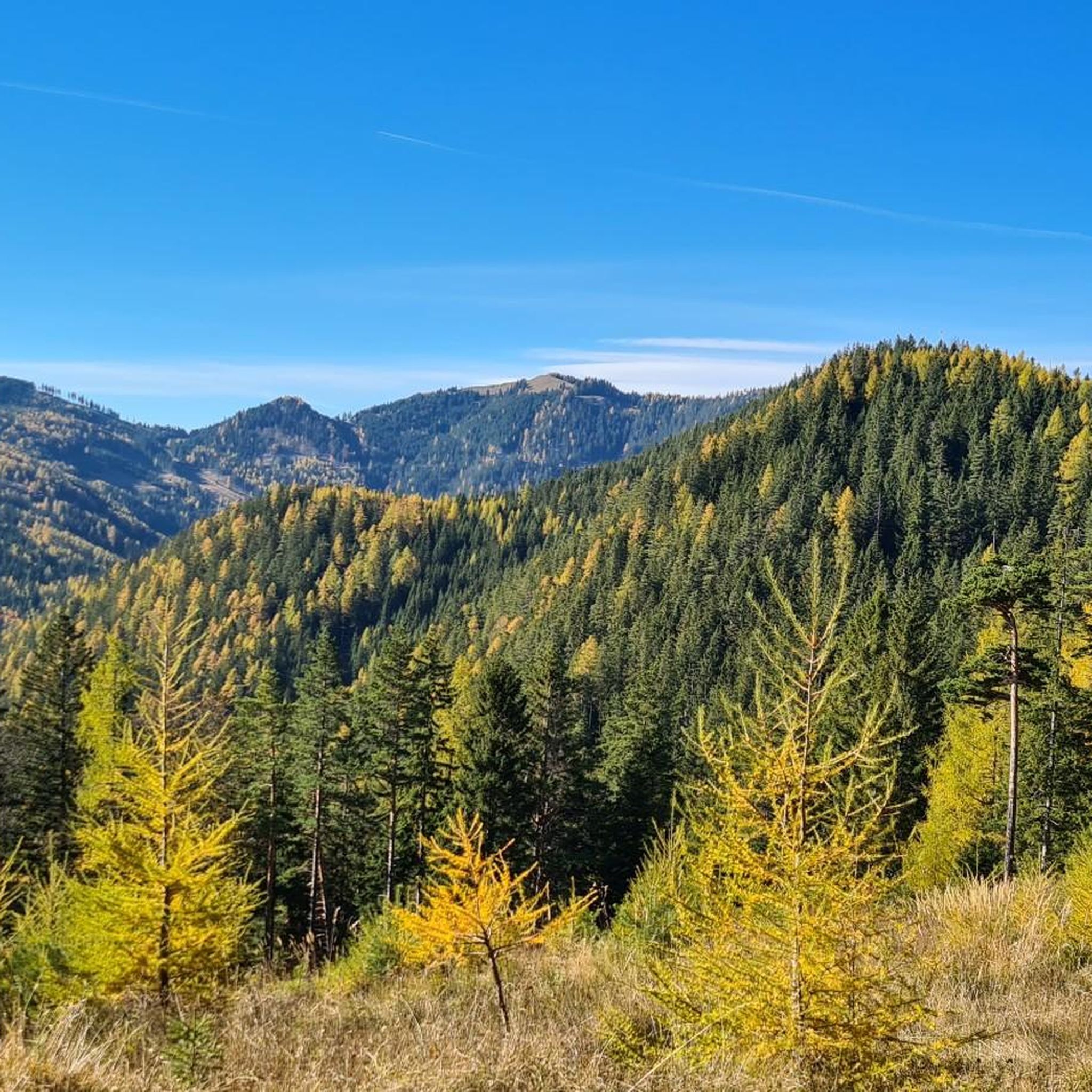
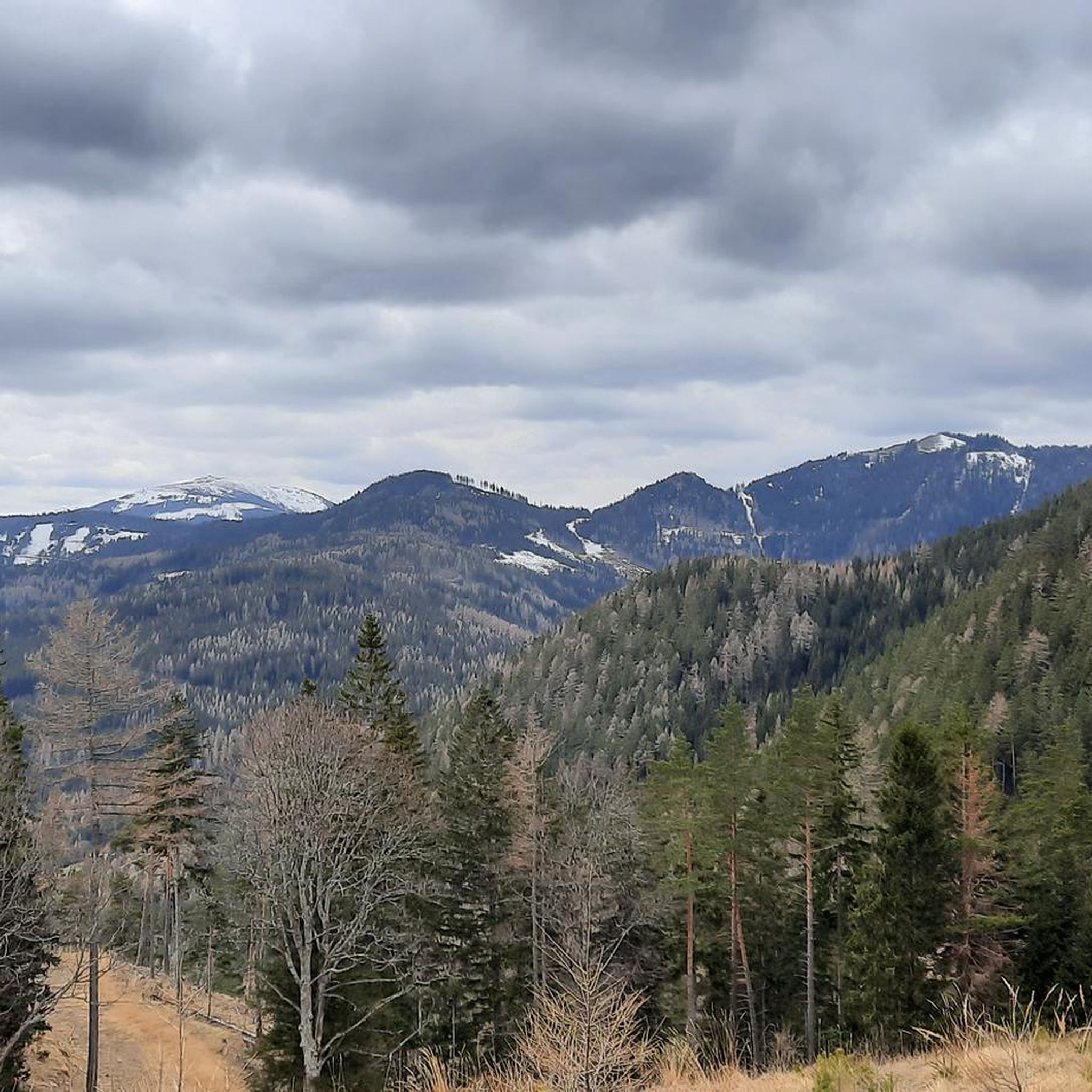
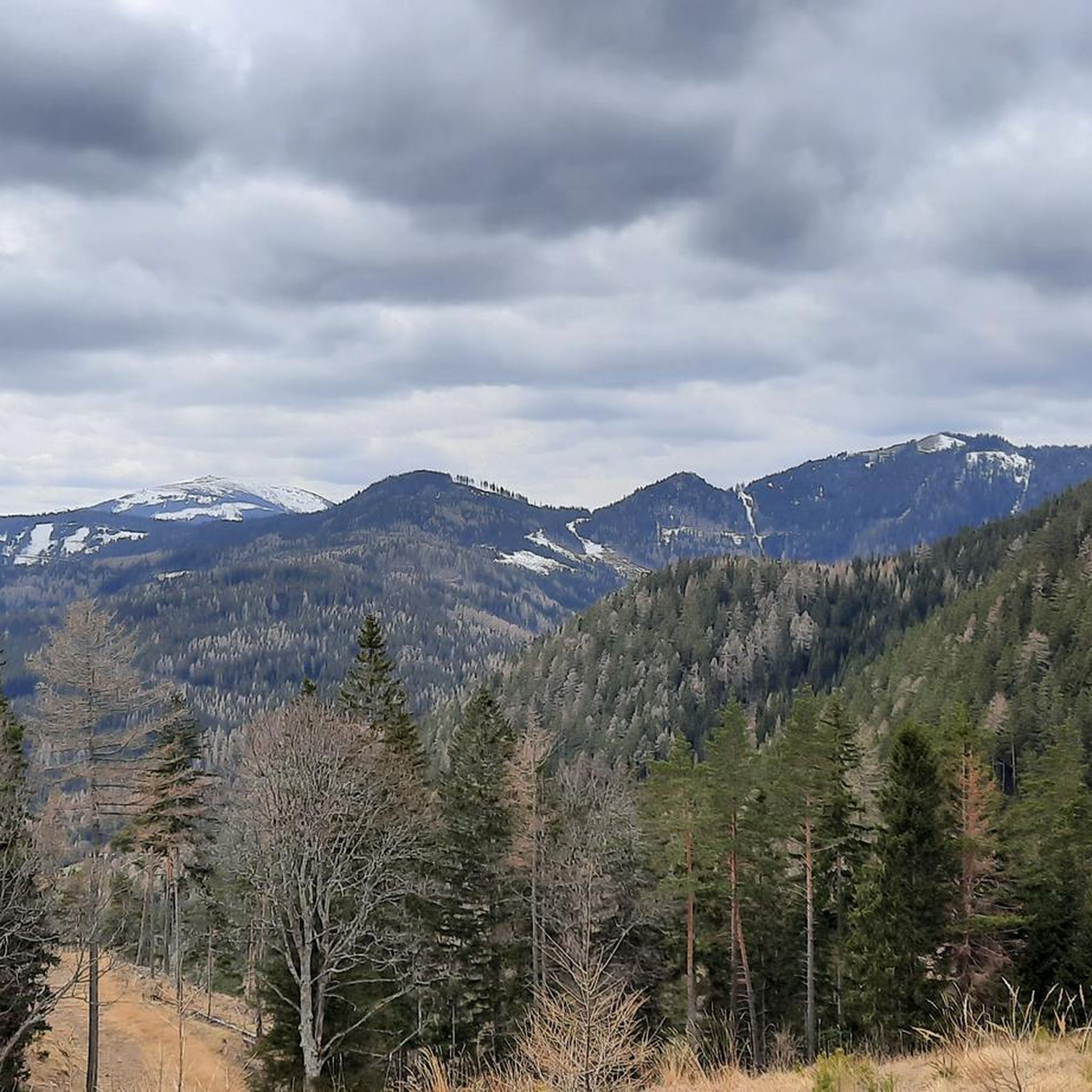
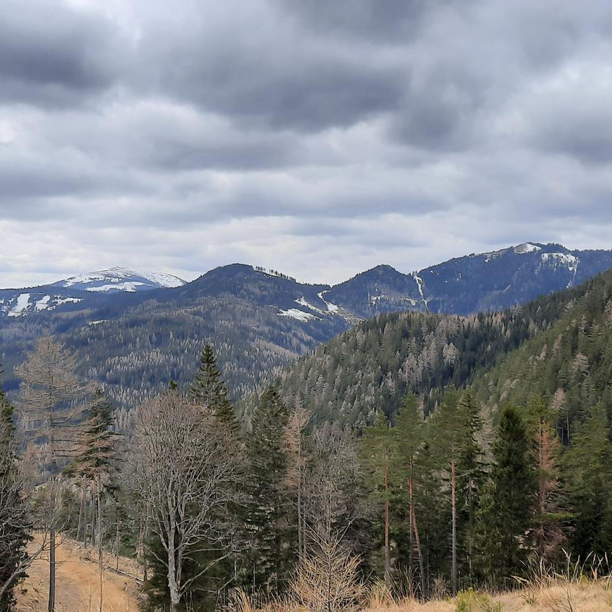
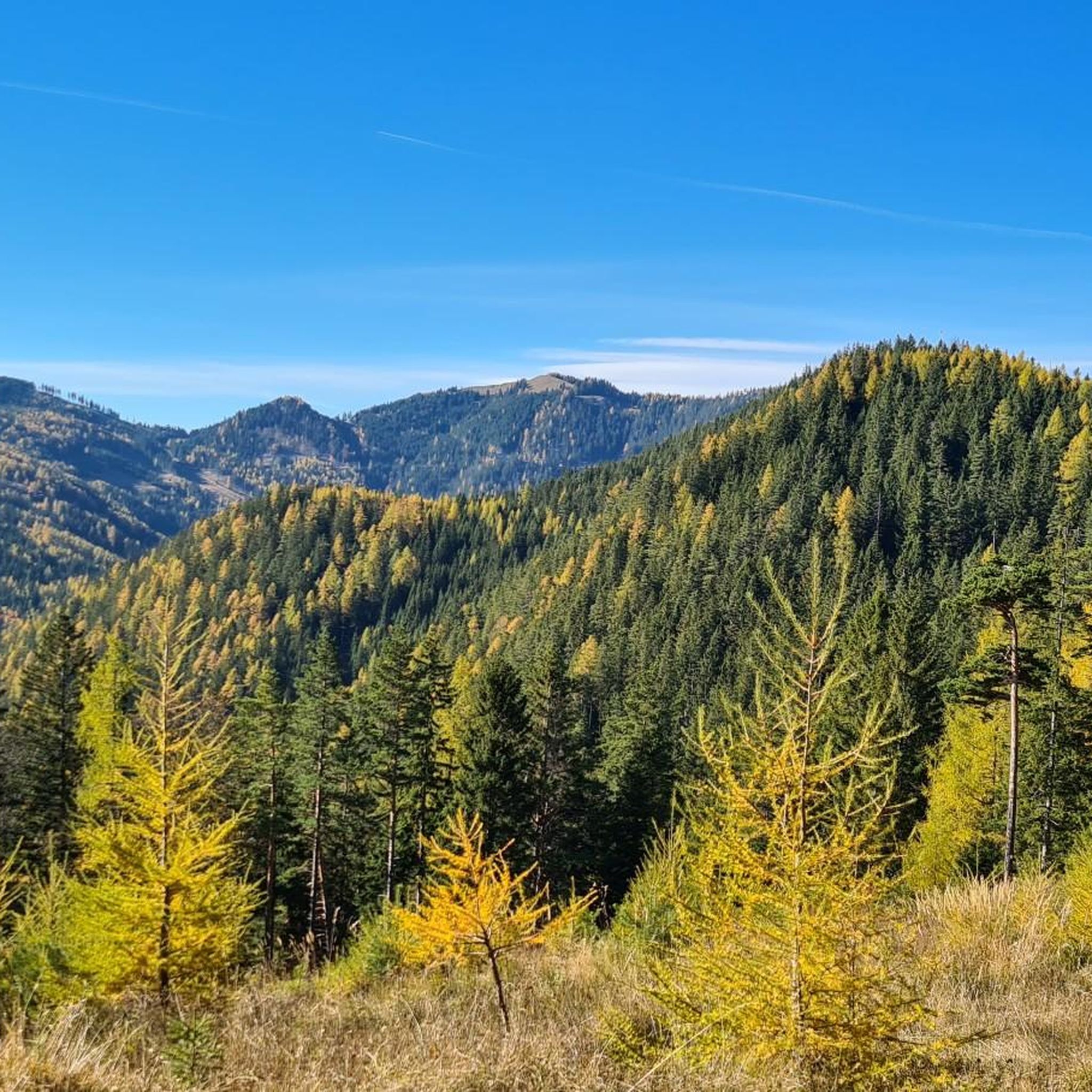
From here, a wide view opens up over the surrounding mountain world of the Schneeberg area. The wooded heights, steep flanks, and distinctive peaks create an impressive panorama. A beautiful place to stop for a moment and enjoy the view.
3
0
The border stone on the Grünberg marks a transition between Lower Austria and Styria. It lies directly on the state border and is a small, but interesting landmark along the hiking route. An inconspicuous detail on the path that makes it visible that you are switching from one federal state to another here.
3
0
The Wetterkoglerhaus is located directly on the summit of the Hochwechsel at 1,743 meters and is a hut of the Austrian Alpine Club. With good visibility, the hut offers a magnificent panorama over the Wechsel region to Schneeberg, Rax, and Hochschwab. Due to its immediate proximity to the summit cross and chapel, the Wetterkoglerhaus is an ideal resting and refreshment stop at the highest point of the tour.
4
0
The Dreiländereck lies in a saddle between Arabichl and Umschußriegel and is an important junction in the Wechsel area. Contrary to what the name suggests, three federal states do not meet here; the designation apparently dates back to the confluence of three property boundaries. From here, paths branch off in the direction of Hochwechsel, Marienseer Schwaig, Kranichberger Schwaig, and Steyersberger Schwaig, among others.
4
0
The Sattelkreuz stands at an old crossroads not far from the Feistritzsattel and is a striking landmark along the hiking route. On the cross, there is an inscription about hope and confidence, which lends the quiet place a special atmosphere. Historical hiking descriptions already mention the Sattelkreuz as an important junction of several paths in the Wechsel area.
3
0
The small mountain hut is located directly on the Feistritzsattel and is a striking landmark at the transition between Lower Austria and Styria. Immediately next to it are a large parking lot and several hiking trails; the Feistritzsattel is a popular starting point for tours in the direction of Wechsel and Semmering. The mountain hut itself is more of a simple base than a classic managed mountain hut.
3
0

The Sonnwendstein viewpoint offers the most beautiful panoramic view of the Semmering Pass and the Vienna Alps arc.
3
0
I stopped by again today and enjoyed my lunch on the bench in front of the hut.
1
0
Frequently Asked Questions
What types of mountaineering routes can I expect around Raach am Hochgebirge?
Raach am Hochgebirge offers a diverse range of mountaineering experiences. While the immediate surroundings feature gentle hills and extensive forests, its proximity to the Rax-Schneeberg Group provides access to more challenging alpine terrain. You'll find routes ranging from moderate ascents to difficult trails with significant elevation gain, some even including alpine climbing sections. For example, the Naturefriends House Knofeleben – Krummbachstein loop is a difficult route covering 17.4 km with over 1000 meters of elevation gain.
Are there any moderate mountaineering routes suitable for those looking for a less strenuous challenge?
Yes, while many routes are difficult, there are also moderate options available. For instance, the Waldburgangerhütte on the Gahns – Jubilee Viewpoint loop is a moderate 10.3 km route that still offers beautiful mountain landscapes without the extreme demands of the most difficult trails. Another moderate option is the Großer Otter Summit – View of the Semmering Railway loop, which is 12.5 km long.
What are some of the most challenging mountaineering routes in the area?
For experienced mountaineers seeking a significant challenge, routes like the Krummbachstein Summit – Naturfreundehaus Knofeleben loop are ideal. This difficult 15.7 km path leads to the Krummbachstein Summit, offering expansive views and a demanding ascent. The region's proximity to the Rax-Schneeberg Group means there are many opportunities for long and strenuous ascents.
Are there any circular mountaineering routes around Raach am Hochgebirge?
Many of the mountaineering routes in the area are designed as circular loops, allowing you to start and end at the same point. A notable example is the Naturfreundehaus Knofeleben – Jubilee Viewpoint loop, a difficult 20.9 km trail that takes you through varied mountain landscapes and returns to your starting point.
What kind of views and natural features can I expect to see on these routes?
The region is characterized by broad, sweeping views, especially from elevated points like the Otter mountain, which offers vistas over the Wechsel region and surrounding mountains. You'll traverse extensive forests and gentle hills in Raach am Hochgebirge itself, while routes extending into the Rax-Schneeberg Group provide alpine scenery with impressive peaks like Schneeberg and Rax. The Stuhleck Summit is another prominent viewpoint in the wider area.
Are there mountain huts or places to rest along the mountaineering routes?
Yes, the area is dotted with mountain huts that offer refreshments and a place to rest. You might encounter places like the Pottschacher Hut, known for its friendly atmosphere and regional food, or the Waldburganger Hut. These huts provide welcome breaks during longer tours.
What is the best time of year for mountaineering in Raach am Hochgebirge?
The best time for mountaineering in Raach am Hochgebirge generally spans from late spring through early autumn (May to October). During these months, the weather is typically more stable, and trails are clear of snow, making for safer and more enjoyable ascents. Always check local weather conditions before heading out, especially for higher alpine routes.
How many mountaineering routes are available in the Raach am Hochgebirge area?
There are over 10 mountaineering routes available around Raach am Hochgebirge, offering a good selection for various skill levels and preferences. These routes are highly rated by the komoot community, with an average score of 4.7 stars.
What do other mountaineers enjoy most about the routes in Raach am Hochgebirge?
The routes in Raach am Hochgebirge are highly rated by the komoot community, with an average score of 4.7 stars from over 5 reviews. Mountaineers often praise the diverse terrain, from serene forests to challenging alpine sections, and the rewarding panoramic views from elevated points. The accessibility to the Rax-Schneeberg Group is also a significant draw.
Are there any specific landmarks or points of interest near the mountaineering trails?
Beyond the natural beauty, the region offers several points of interest. For example, the Hirschenkogel, a mountain near the Semmering Pass, features the 30.5-meter-high Millennium Observation Tower and the Liechtensteinhaus refuge, providing another accessible peak with panoramic views. While not directly on every mountaineering route, these are notable attractions in the wider area.
Are there any family-friendly mountaineering options, or are all routes very difficult?
While many routes are challenging, the immediate surroundings of Raach am Hochgebirge also offer 'cozy hiking trails' suitable for all fitness levels, which can be a good starting point for families. For mountaineering specifically, moderate routes like the Waldburgangerhütte on the Gahns – Jubilee Viewpoint loop might be considered for families with older, experienced children, but always assess the difficulty and duration carefully.
Most popular routes around Raach am Hochgebirge
Most popular attractions around Raach am Hochgebirge

Get inspired with the komoot mobile app


Explore more
Browse the best Mountain Hikes & Routes in other regions.
