The best mountain hikes around Otterthal
4.6
(8)
186
hikers
10
hikes
Mountaineering routes around Otterthal are situated within the mountainous landscape of Bezirk Neunkirchen, offering diverse terrain for high-alpine exploration. The region features notable summits such as Hochwechsel and Großer Otter, providing significant elevation gains for challenging ascents. Paths often traverse varied environments, from forested sections to open mountain ridges, characteristic of the Eastern Alps. This area is well-suited for mountaineers seeking routes with substantial climbs and panoramic views.
Best mountaineering routes around Otterthal
- The most popular mountaineering route is Hochwechsel…
Last updated: October 5, 2026
16
hikers
Moderate mountaineering route. Good fitness required. Mostly accessible paths. Sure-footedness required.
4.0
(1)
10
hikers
Moderate mountaineering route. Good fitness required. Mostly accessible paths. Sure-footedness required.

7
hikers
17.8km
05:24
590m
590m
Hard mountaineering route. Very good fitness required. Easily-accessible paths. Suitable for all skill levels.
4
hikers
8.63km
03:33
580m
580m
Moderate mountaineering route. Good fitness required. Mostly accessible paths. Sure-footedness required.
4.0
(1)
6
hikers
12.5km
04:26
700m
700m
Moderate mountaineering route. Good fitness required. Mostly accessible paths. Sure-footedness required.
Get access to more routes and recommendations from other explorers.
Already have an account?
Our route recommendations are based on thousands of hikes, rides, and runs completed by other people on komoot.
Start today with a free account
Your next adventure awaits.
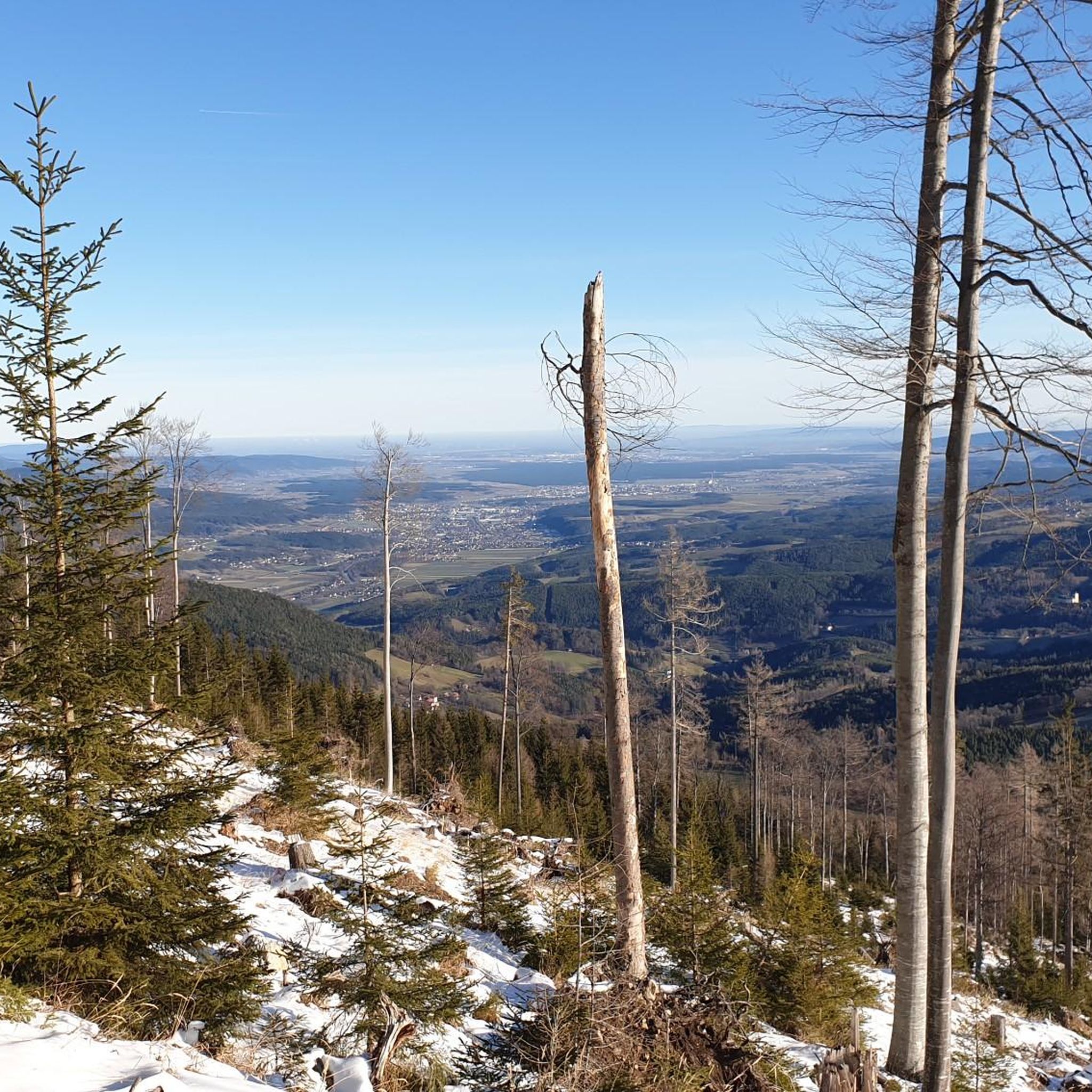
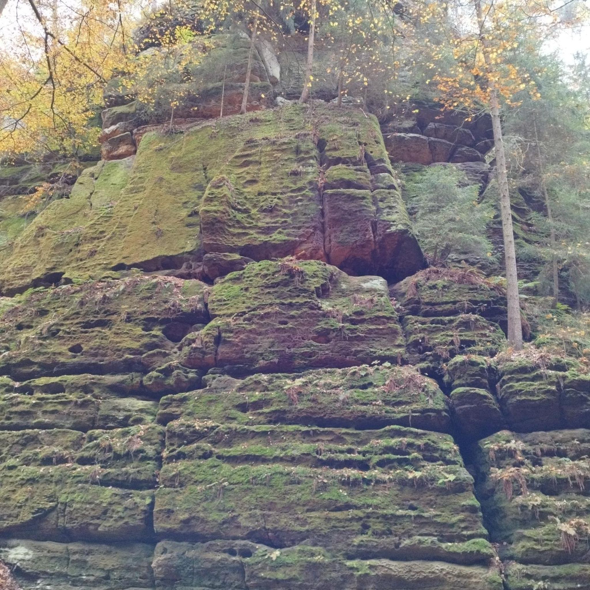
Tips from the Community

The waterfall is wonderfully beautiful, and you don't have to go far from the forest path, about 80m. Be careful on the big stones and roots! Fortunately, we can take excellent photos from the small wooden bridge laid across.
0
0

The border stone on the Grünberg marks a transition between Lower Austria and Styria. It lies directly on the state border and is a small, but interesting landmark along the hiking route. An inconspicuous detail on the path that makes it visible that you are switching from one federal state to another here.
3
0
The Wetterkoglerhaus is located directly on the summit of the Hochwechsel at 1,743 meters and is a hut of the Austrian Alpine Club. With good visibility, the hut offers a magnificent panorama over the Wechsel region to Schneeberg, Rax, and Hochschwab. Due to its immediate proximity to the summit cross and chapel, the Wetterkoglerhaus is an ideal resting and refreshment stop at the highest point of the tour.
4
0
The Dreiländereck lies in a saddle between Arabichl and Umschußriegel and is an important junction in the Wechsel area. Contrary to what the name suggests, three federal states do not meet here; the designation apparently dates back to the confluence of three property boundaries. From here, paths branch off in the direction of Hochwechsel, Marienseer Schwaig, Kranichberger Schwaig, and Steyersberger Schwaig, among others.
4
0
The Sattelkreuz stands at an old crossroads not far from the Feistritzsattel and is a striking landmark along the hiking route. On the cross, there is an inscription about hope and confidence, which lends the quiet place a special atmosphere. Historical hiking descriptions already mention the Sattelkreuz as an important junction of several paths in the Wechsel area.
3
0
The small mountain hut is located directly on the Feistritzsattel and is a striking landmark at the transition between Lower Austria and Styria. Immediately next to it are a large parking lot and several hiking trails; the Feistritzsattel is a popular starting point for tours in the direction of Wechsel and Semmering. The mountain hut itself is more of a simple base than a classic managed mountain hut.
3
0

Don't call it a prettier garden gnome. This is a fully grown root Sepp :D
0
0
Beautiful, marked and signposted path!
0
0
Frequently Asked Questions
How many mountaineering routes are available around Otterthal?
There are over a dozen dedicated mountaineering routes around Otterthal, offering diverse terrain for high-alpine exploration. These routes are well-suited for mountaineers seeking substantial climbs and panoramic views.
What are the typical difficulty levels for mountaineering in Otterthal?
Mountaineering routes in Otterthal cater to experienced individuals, with an equal split of moderate and difficult trails. You'll find 6 moderate routes and 6 difficult routes, ensuring options for various skill levels within the experienced mountaineer category.
Are there any circular mountaineering routes in Otterthal?
Yes, many of the mountaineering routes around Otterthal are designed as loops. For example, the Hochwechsel Summit – Chapel on Hochwechsel loop from Katastralgemeinde Neustift am Alpenwald is a popular moderate circular trail. Another option is the more challenging Wetterkogler House – Hochwechsel loop from Feistritzsattel, which offers an extended high-alpine experience.
What kind of landscapes can I expect on mountaineering routes in Otterthal?
The routes around Otterthal traverse varied environments characteristic of the Eastern Alps. You can expect to move from forested sections to open mountain ridges, often leading to prominent summits like Hochwechsel and Großer Otter, providing significant elevation gains and expansive views.
What do other mountaineers enjoy most about the routes in Otterthal?
The komoot community highly rates the mountaineering routes in Otterthal, with an average score of 4.5 stars. Mountaineers often praise the varied terrain, the challenging ascents to prominent summits, and the rewarding panoramic views from the mountain ridges.
Are there any specific landmarks or attractions to see near the mountaineering routes?
Yes, the region around Otterthal offers several interesting landmarks. You can explore historical sites like the Ruins of Klamm Castle or Reichenau an der Rax Castle. For natural beauty, consider visiting the View of Speicherteich St. Corona or the Bärenlacke Pond and Barefoot Trail.
What is a good moderate mountaineering route for someone looking for summit views?
A great moderate option is the Großer Otter Summit – View of the Semmering Railway loop from Raach am Hochgebirge. This 7.8-mile (12.5 km) trail leads through mountainous terrain and offers rewarding summit views, often completed in about 4 hours and 12 minutes.
Are there any routes that offer views of the Semmering Railway?
Yes, the View of the Semmering Railway – Großer Otter Summit loop from Schottwien is a moderate route that provides excellent views of the historic Semmering Railway while ascending towards the Großer Otter Summit.
What is a challenging, longer mountaineering route in the area?
For a more challenging and extended high-alpine experience, consider the Wetterkogler House – Hochwechsel loop from Feistritzsattel. This difficult 11.1-mile (17.9 km) path offers panoramic views from the Hochwechsel massif.
Is there a mountaineering route that includes a notable rock formation?
Yes, the Rote Wand – Moagraben-Halbhöhle loop from Prigglitz is a moderate route that takes you past the distinctive Rote Wand (Red Wall) and the Moagraben-Halbhöhle (half-cave), offering interesting geological features along the way.
What are the highest points reached on these mountaineering routes?
The routes around Otterthal often lead to prominent summits such as Hochwechsel and Großer Otter. These peaks provide significant elevation gains and are key features of the mountaineering experience in the region.
Most popular routes around Otterthal
Most popular attractions around Otterthal

Get inspired with the komoot mobile app


Explore more
Browse the best Mountain Hikes & Routes in other regions.
