Hurstpierpoint And Sayers Common
Hurstpierpoint And Sayers Common
The best MTB trails around Hurstpierpoint And Sayers Common
4.4
(445)
2,274
riders
186
rides
Mountain biking around Hurstpierpoint And Sayers Common offers access to the diverse landscapes of the South Downs National Park. The region features extensive networks of bridleways and paths, characterized by chalk downs, ancient yew forests, and open grassland. Prominent features like Ditchling Beacon and Devil's Dyke provide varied terrain, from challenging climbs to technical single-track descents.
Best mountain bike trails around Hurstpierpoint And Sayers Common
- The most popular mountain bike trail is Ditchling Beacon, The Chattri and Devil's Dyke loop…
Last updated: June 27, 2026
4.7
(9)
17
riders
Moderate mountain bike ride. Good fitness required. Advanced riding skills necessary.
4.7
(6)
53
riders
Hard mountain bike ride. Very good fitness required. Suitable for all skill levels.

Sign up for free
4.8
(13)
38
riders
30.2km
02:33
500m
500m
Moderate mountain bike ride. Good fitness required. Suitable for all skill levels.
5.0
(1)
21
riders
74.7km
04:39
390m
390m
Moderate mountain bike ride. Good fitness required. Advanced riding skills necessary.
3.0
(1)
21
riders
17.1km
01:29
260m
260m
Easy mountain bike ride. Great for any fitness level. Suitable for all skill levels.
Get access to more routes and recommendations from other explorers.
Sign up for free
Already have an account?
Our route recommendations are based on thousands of hikes, rides, and runs completed by other people on komoot.
Start today with a free account
Your next adventure awaits.
Login or Signup
Popular around Hurstpierpoint And Sayers Common
Tips from the Community

The railway closed as a result of the Beeching Axe in 1966. Nothing remains of the station today, which now forms part of a traffic roundabout.
0
0

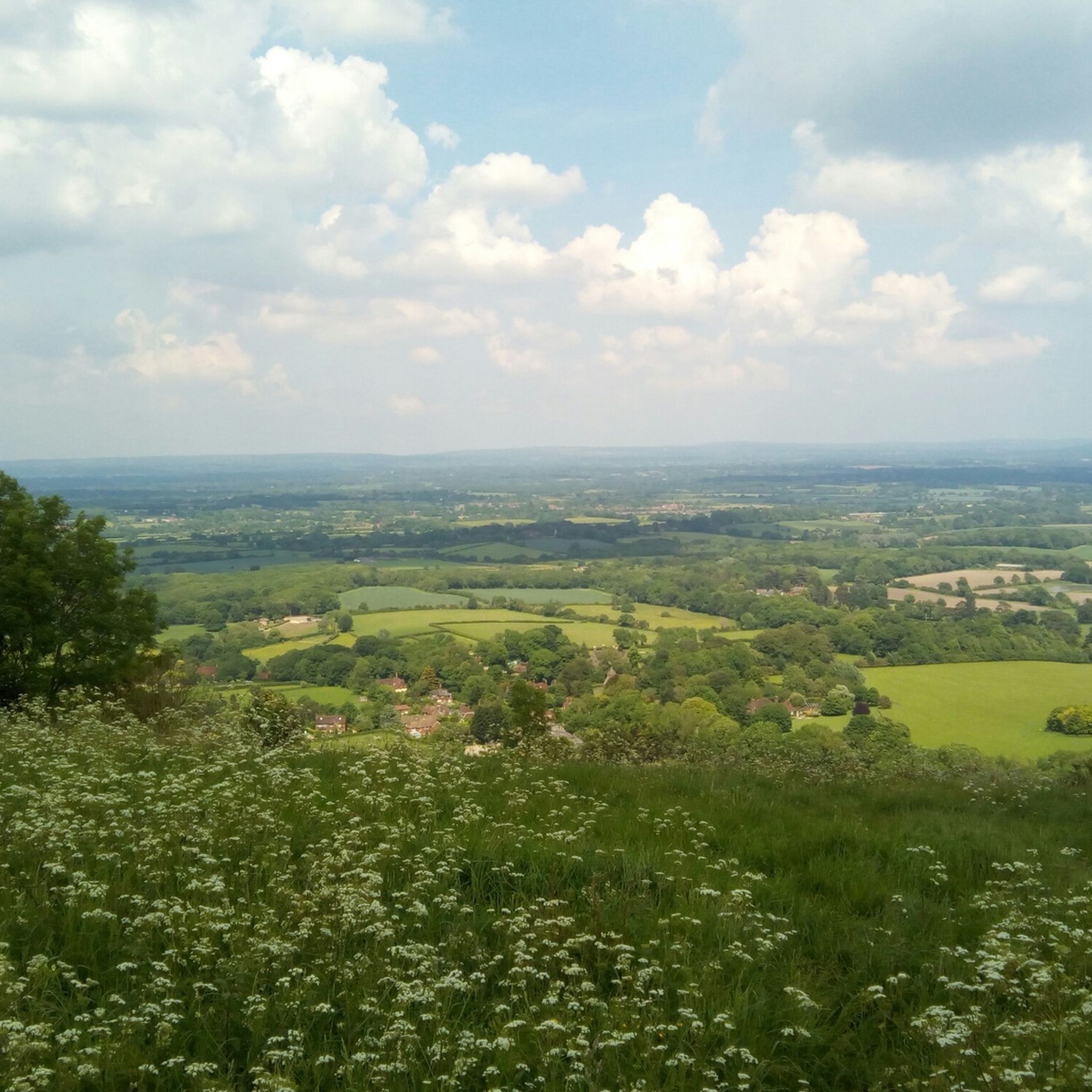
nice steady climb with breathtaking views, if you turn left at the gate (before crossing) you will see a path to your further left leading to a pub called Sheppard and Dog with a nice beer garden - this is a S2 descent so be careful
0
0


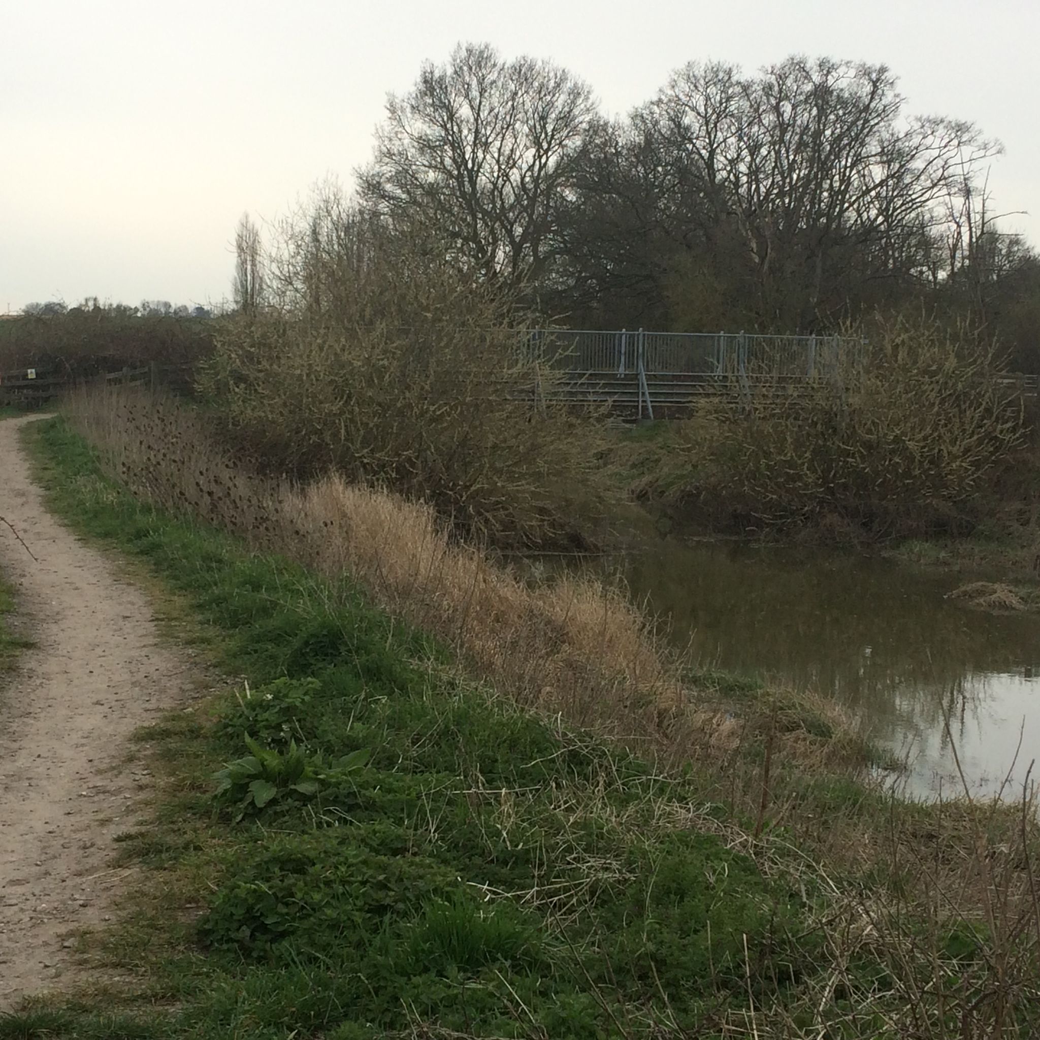
The Downs Link is a section of the long-distance bridleway through the West Sussex countryside. Along the way you'll enjoy scenic views of rolling fields, woodlands, open countryside, and sections will cross the River Adur.
1
0
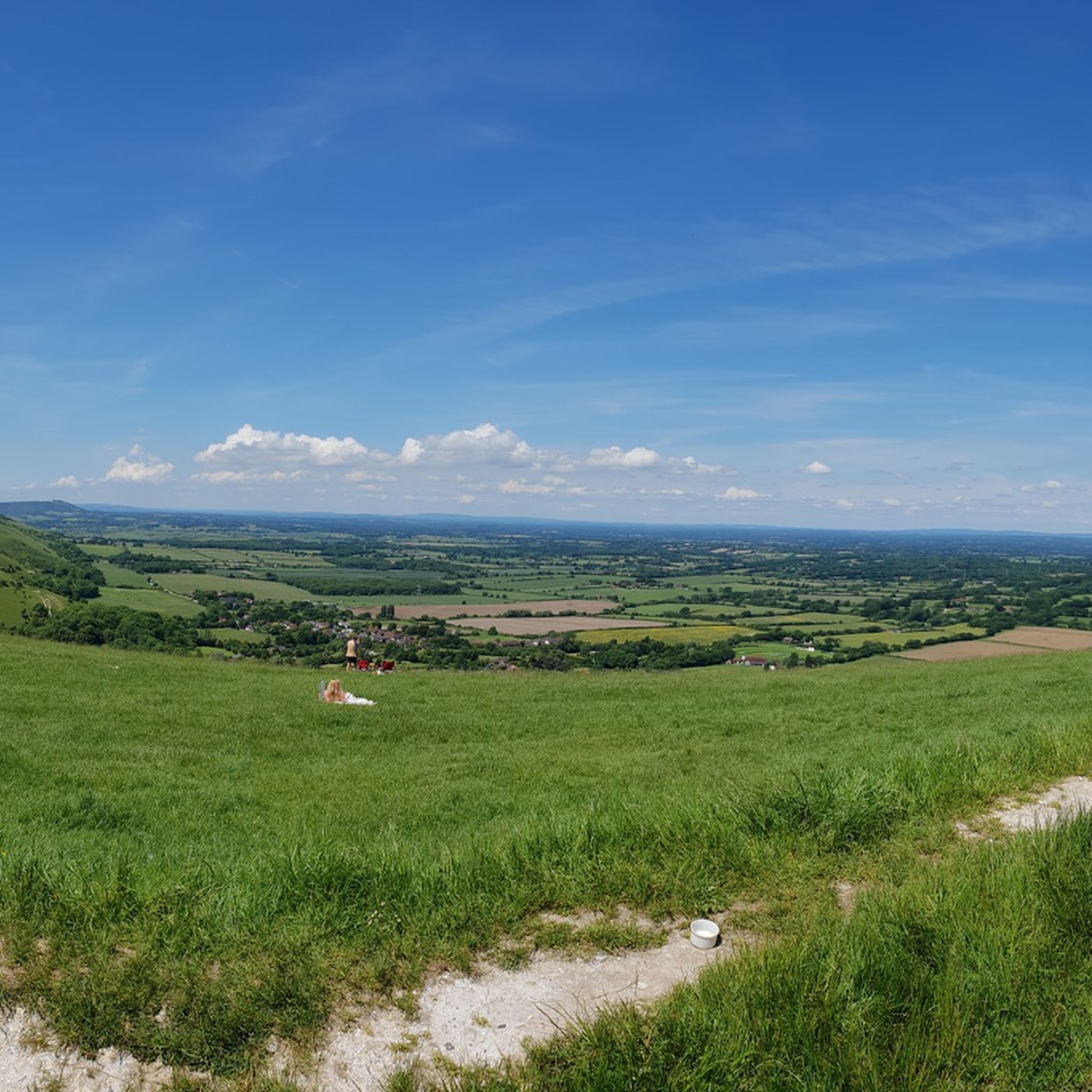
The track here provides one of the best views from the South Downs Way. Take time to stop here and enjoy the well-earned view.
1
0
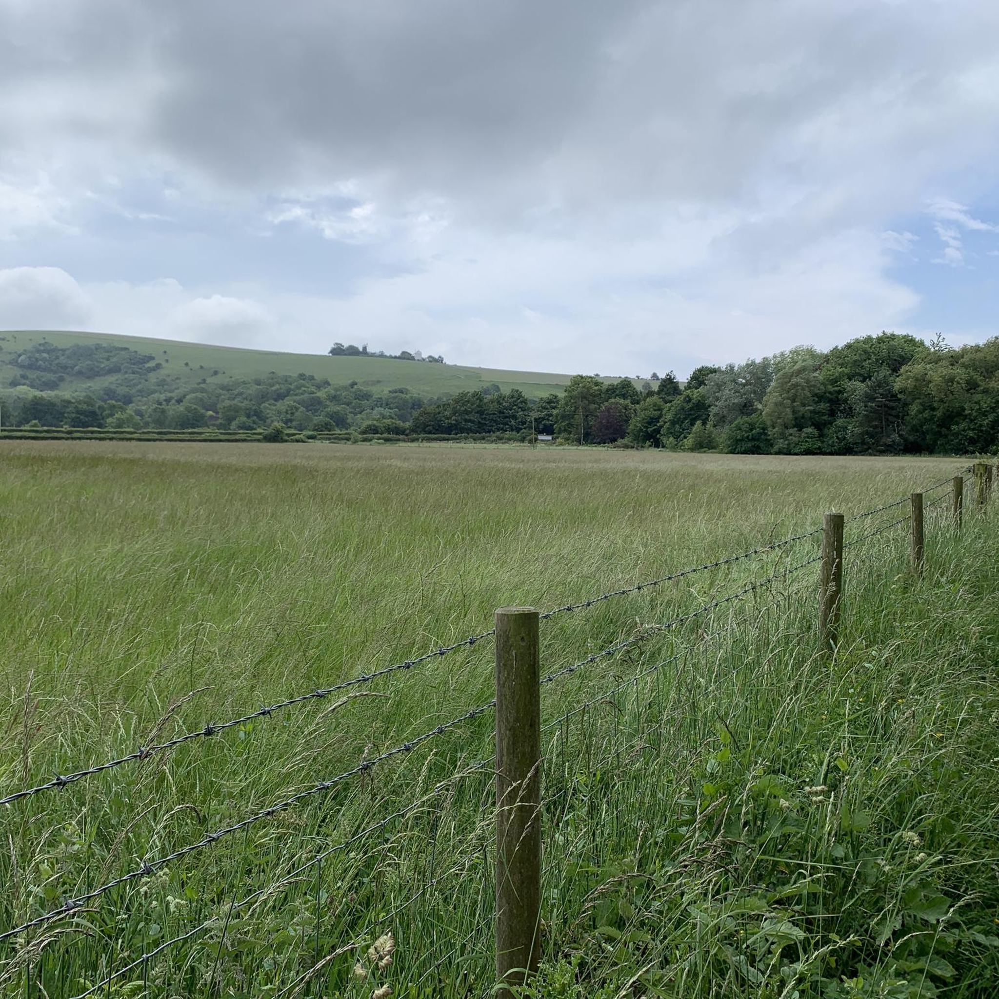
This memorial commemorates the Indian soldiers who served in World War I and died in military hospitals in Brighton and serves as a tribute to their bravery. The structure resembles a traditional Indian chattri (a dome shaped pavillion) and was designed by Sir Edwin Lutyens.
1
0

Southwater Country Park was formed after the closure of the brickworks and quarry in 1981. The area is now a thriving wildlife and leisure area with woodland, grasslands and a lake. There are children's playgrounds, a beach for paddling, watersports, fishing, bike trails and a café.
0
0
Frequently Asked Questions
How many mountain bike trails are available around Hurstpierpoint And Sayers Common?
There are over 190 mountain bike trails in the Hurstpierpoint And Sayers Common area. These routes cater to various skill levels, with approximately 60 easy trails, over 120 moderate trails, and 10 difficult options for experienced riders.
What kind of terrain can I expect on mountain bike trails in this region?
The terrain around Hurstpierpoint And Sayers Common is largely defined by the diverse landscapes of the South Downs National Park. You'll encounter hard-packed chalk and grass trails, which can be slippery when wet but generally drain well. Expect varied features like chalk downs, ancient yew forests, open grassland, and V-shaped valleys. Iconic spots like Ditchling Beacon and Devil's Dyke offer everything from challenging climbs with gradients up to 16% to technical single-track descents with roots and steep sections.
Are there easy mountain bike trails suitable for beginners or families?
Yes, there are nearly 60 easy mountain bike trails in the area, perfect for beginners or families looking for a more relaxed ride. These trails typically feature minimal technical obstacles and gentle grades. For example, the Ditchling Beacon Dew Pond – Blackcap Summit and Trig Point loop from Pyecombe is an easy route that offers a taste of the South Downs without extreme challenges.
What are some scenic viewpoints or natural landmarks to look out for on the trails?
The region is rich with natural landmarks and scenic viewpoints. You can ride past prominent features like Ditchling Beacon, offering panoramic views across the Weald and to the sea. Other notable spots include Blackcap Summit and Trig Point and the dramatic Devil's Dyke Trig Point. You might also encounter tranquil spots like Ardingly Reservoir, a local nature reserve.
Are there any circular mountain bike routes in the area?
Yes, many mountain bike routes in the Hurstpierpoint And Sayers Common area are circular, allowing you to start and finish at the same point. A popular option is the Ditchling Beacon, The Chattri and Devil's Dyke loop — South Downs National Park, which takes you through iconic South Downs landmarks.
What do other mountain bikers say about the trails here?
The mountain bike trails around Hurstpierpoint And Sayers Common are highly rated by the komoot community, with an average score of 4.4 stars from over 470 reviews. More than 2300 mountain bikers have used komoot to explore the varied terrain, often praising the diverse landscapes, challenging climbs, and exhilarating descents found within the South Downs National Park.
Are there any particularly challenging mountain bike routes for advanced riders?
For advanced riders seeking a challenge, the region offers several difficult routes. These trails often feature significant elevation gains, steep ascents (up to 35% grade), technical single-tracks, and rooty descents. An example of a challenging route is the Southease Church and Drinking Water Tap – Iford Hill Track loop from Hassocks, which includes substantial climbing and demanding sections.
Can I combine mountain biking with other outdoor activities in the area?
Absolutely. The region around Hurstpierpoint And Sayers Common, particularly within the South Downs National Park, is excellent for combining mountain biking with other outdoor pursuits. You'll find numerous footpaths and bridleways suitable for walking, running, and general cycling. Nearby attractions like Hurst Meadows offer peaceful natural environments for walks, while Ardingly Reservoir provides opportunities for watersports.
Are there any long-distance mountain biking options available?
Yes, the area provides access to sections of the South Downs Way, a 100-mile long-distance off-road National Trail. While the full trail can take 2-4 days to complete, you can enjoy challenging sections for shorter excursions. This trail features 3,800 meters (12,600 ft) of ascent, offering a significant test of endurance for mountain bikers.
What are the best routes for experiencing the chalk ridges and open countryside?
To experience the distinctive chalk ridges and open countryside of the South Downs, consider routes that traverse these elevated areas. The Blackcap Summit and Trig Point – Cuckoo Bottom Track loop from Hassocks is an excellent choice, leading you through classic chalk landscapes and offering expansive views.
Are there mountain bike trails that pass by lakes or reservoirs?
Yes, some mountain bike routes in the wider area will take you near local water features. For example, Ardingly Reservoir is a local nature reserve that can be incorporated into rides, offering a change of scenery and a chance to observe wildlife. The Southwater Country Park – The Downs Link loop from Hassocks also passes through areas with water features.
Most popular routes around Hurstpierpoint And Sayers Common
Most popular attractions around Hurstpierpoint And Sayers Common

Get inspired with the komoot mobile app


Explore more
Browse the best MTB trails in other regions.
