The best running trails around Hainburg an der Donau
3.9
(8)
238
runners
25
runs
Jogging around Hainburg an der Donau offers diverse natural landscapes within the Donau-Auen National Park and along the Danube riverine environment. The region features extensive floodplain forests, the prominent karstic cliff of Braunsberg Hill, and the majestic Danube River itself. Trails range from flat paths along the riverbanks to routes with varied terrain and elevation gain, providing options for different running preferences.
Best jogging routes around Hainburg an der Donau
- The most popular jogging route is View of Andreas-Maurer Bridge loop from Hainburg an der Donau, a 7.5 miles (12.1 km) trail that takes 1 hour 15 minutes to complete, offering views of the bridge and river.
- Another top favourite among local runners is View of the Castle – View of Hainburg an der Donau loop from Hainburg an der Donau Ungartor, a difficult 13.3 miles (21.3 km) path. This route provides extensive views of the castle and the town from higher elevations.
- Local runners also love the Danube Café – Röthelstein Castle Ruins loop from Hainburg an der Donau Ungartor, a 7.2 miles (11.6 km) trail leading through the Danube landscape and past historical ruins, often completed in about 1 hour 16 minutes.
- Jogging around Hainburg an der Donau is defined by the Danube riverine landscape, floodplain forests of the Donau-Auen National Park, and the varied terrain of Braunsberg Hill. The network offers options for different ability levels, from easy riverside paths to more challenging routes with significant elevation.
- The routes in Hainburg an der Donau are highly rated by the komoot community with an average score of 4.0 stars from more than 4 reviews. More than 200 runners have used komoot to explore Hainburg an der Donau's varied terrain.
Last updated: October 21, 2026
4.0
(3)
44
runners
Moderate run. Good fitness required. Mostly paved surfaces. Suitable for all skill levels.
20
runners
Hard run. Very good fitness required. Mostly paved surfaces. Suitable for all skill levels.

9
runners
Moderate run. Good fitness required. Mostly paved surfaces. Suitable for all skill levels.
8
runners
6.60km
01:00
330m
330m
Hard run. Very good fitness required. Mostly paved surfaces. Suitable for all skill levels.
3.0
(1)
12
runners
Moderate run. Good fitness required. Mostly paved surfaces. Suitable for all skill levels.
Get access to more routes and recommendations from other explorers.
Already have an account?
Our route recommendations are based on thousands of hikes, rides, and runs completed by other people on komoot.
Start today with a free account
Your next adventure awaits.
Popular around Hainburg an der Donau

Central Alps Trail Eastern Section – Discover Austria
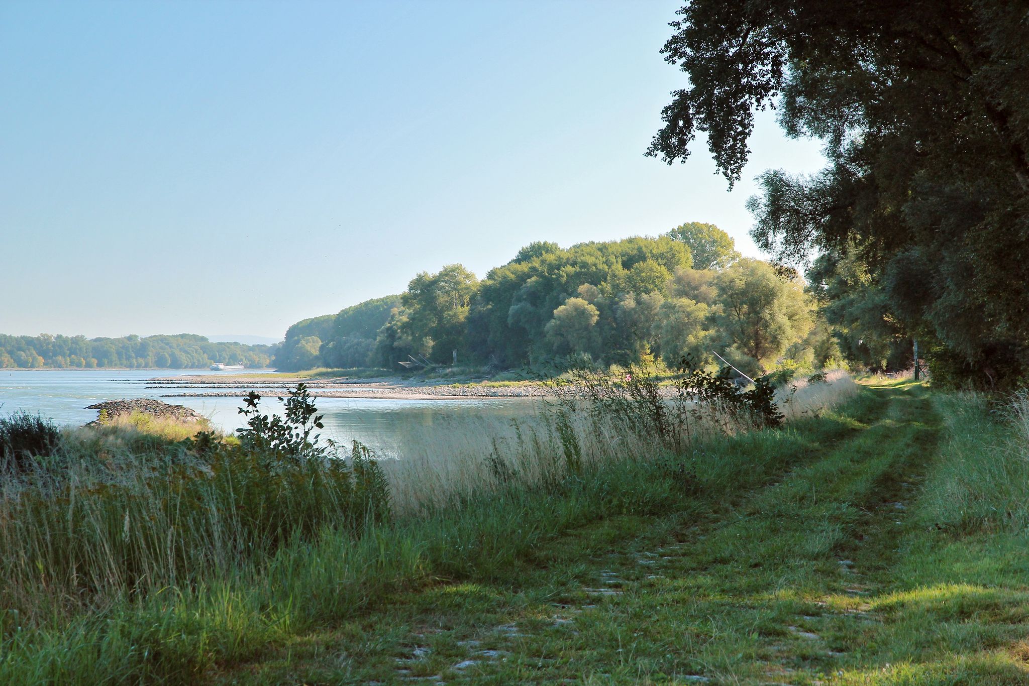
From Vienna to the state border at Hainburg - Tours in the National Park Donau-Auen
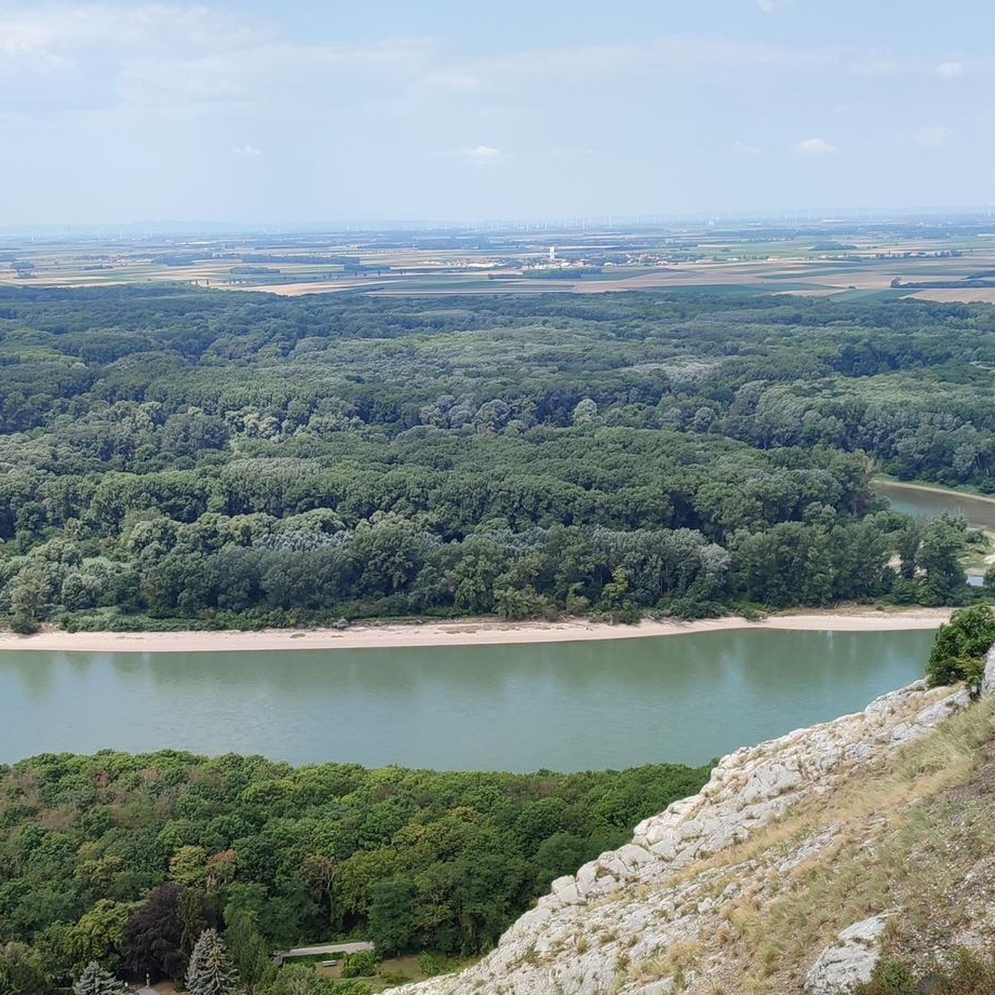
Hiking around Hainburg an der Donau
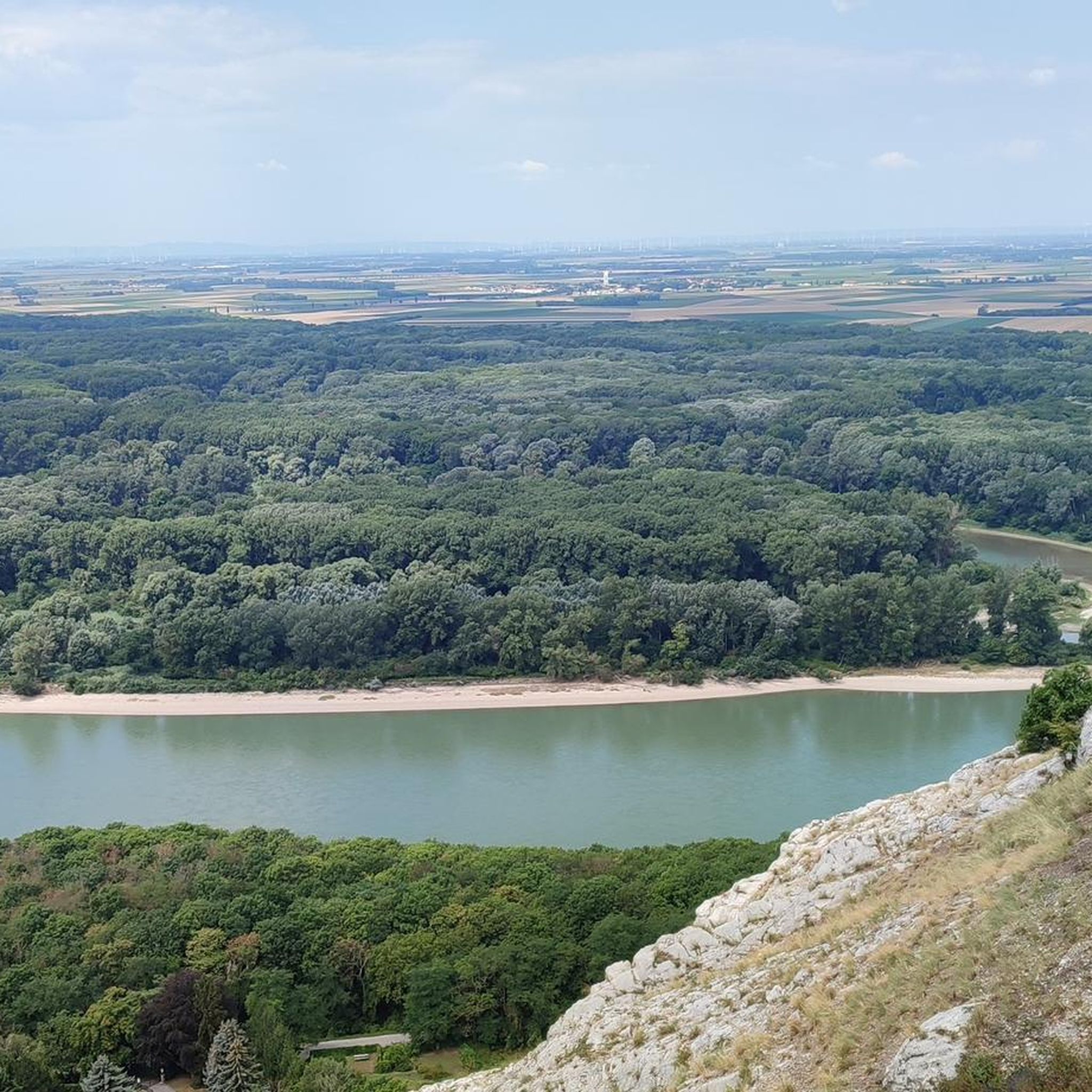
Cycling around Hainburg an der Donau
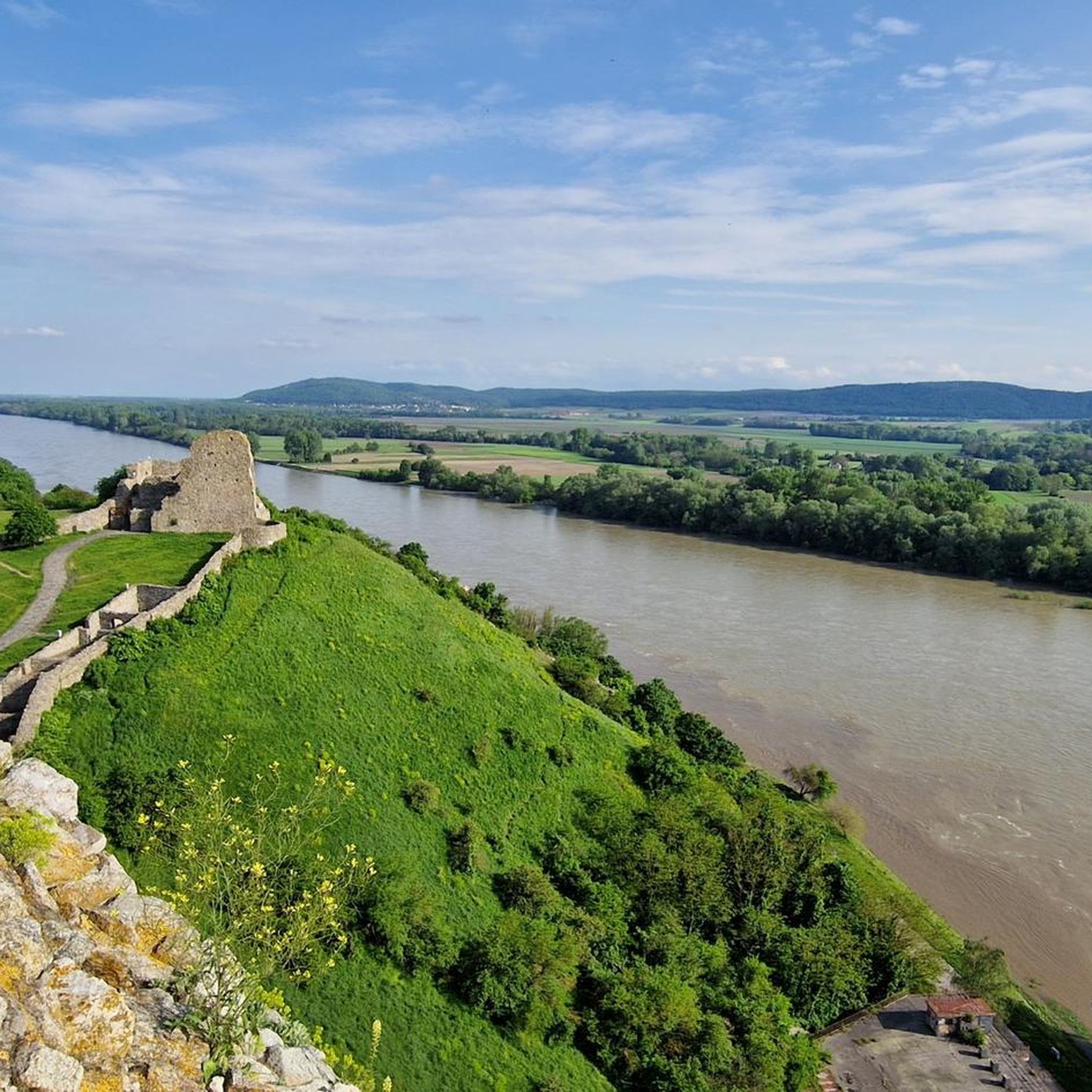
Road Cycling Routes around Hainburg an der Donau
MTB Trails around Hainburg an der Donau

Gravel biking around Hainburg an der Donau


Tips from the Community

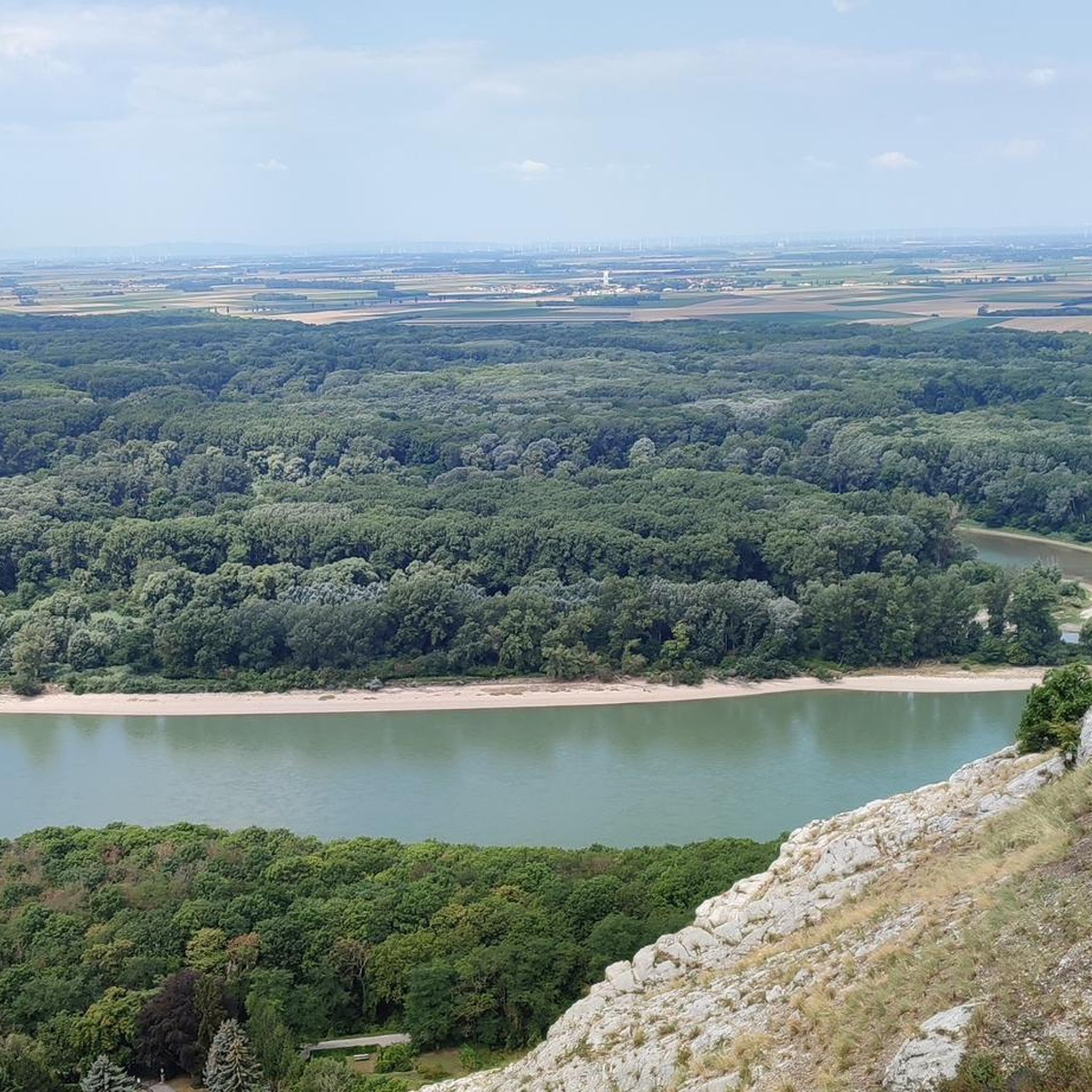
The 346-meter-high Braunsberg near Hainburg an der Donau is a fascinating viewpoint offering a wide view upstream of the gently flowing Danube. The river meanders through the broad floodplains of the Donau-Auen National Park, whose diverse nature creates an oasis of tranquility and beauty. From the summit of the Braunsberg, an impressive panoramic view opens up over the fertile Marchfeld and the surrounding landscape, which stretches harmoniously to the horizon. The mountain itself, together with the Thebener Kogel in Slovakia, forms the so-called Hainburg Gate, a narrow valley where the Alps meet the Carpathians. This unique geographical location makes the Braunsberg a special natural experience. A popular path leads around and up the mountain, where, in addition to the picturesque nature, exciting historical testimonies also await. Reconstructed Celtic settlements and memorials shape the summit area, combining natural beauty with a deep cultural history. Thus, the Braunsberg becomes a place of contemplation and foresight at the same time.
6
0

From Braunsberg, you can enjoy one of the most beautiful views in the region. Deep below, the Danube winds through the landscape, while the view extends over Hainburg, the Danube floodplains, and all the way to the Little Carpathians. Especially in clear weather, the vastness of this panorama is impressive. 🌄🌊👀
4
0
This viewpoint at the Illyrian Settlement and Celtic Fortifications Monument combines impressive distant views with a journey into the past. Over 2,000 years ago, Illyrians and Celts already used the strategically favorable location high above the Danube. Today, you can enjoy a wide view of the Danube valley and the surrounding landscape from here. 🌄🏛️🌿
4
0
The summit cross on the Hundsheimer Berg marks the highest point of the mountain of the same name and is a popular spot for a short rest. From here, the view extends far over the Marchfeld, the Danube, and the surrounding hill ranges. A beautiful place to enjoy the ascent and experience the special location on the edge of the Carpathians up close. ✝️⛰️🌄
4
0
The summit cross on the Hundsheimer Berg marks the highest point of the mountain of the same name and is a popular spot for a short rest. From here, the view extends far over the Marchfeld, the Danube and the surrounding hill ranges. A beautiful place to enjoy the ascent and experience the special location on the edge of the Carpathians up close. ✝️⛰️🌄
4
0

The Donauuferweg in Hainburg an der Donau is much more than just a simple walking path – it is the link between the city's medieval history and the pristine nature of the Donau-Auen National Park.
0
0
The Danube near Hainburg an der Donau (Lower Austria) is one of the most fascinating and ecologically valuable sections of the entire river course. It marks the transition from the foothills of the Alps to the Pannonian Plain.
0
0
The Danube near Hainburg is not only a scenic jewel but also a place of enormous historical and ecological significance. It marks the transition of the Danube from the wide floodplain landscapes to the "Hainburg breakthrough" between the Alps (Hundsheimer Berge) and the Carpathians (Thebner Kogel).
0
0
Frequently Asked Questions
How many running routes are available in Hainburg an der Donau?
Hainburg an der Donau offers over 30 dedicated running routes, catering to various preferences and fitness levels. These routes explore the diverse landscapes of the region, from the flat paths of the Donau-Auen National Park to more challenging trails with elevation gain.
What kind of terrain can I expect on running trails around Hainburg an der Donau?
You'll find a diverse range of terrain. The Donau-Auen National Park features mostly flat, accessible paths through extensive floodplain forests. For more varied terrain, trails around Braunsberg Hill offer slopes, vineyards, and rocky sections. Many routes also follow the picturesque banks of the Danube River.
Are there running routes suitable for beginners or families in Hainburg an der Donau?
Yes, there are several easy running routes perfect for beginners or families. For instance, the Running loop from Hainburg an der Donau is an easy 4.8 km path that provides a gentle introduction to the area's trails.
Can I find circular running routes in Hainburg an der Donau?
Absolutely. Many of the running routes in Hainburg an der Donau are circular, allowing you to start and finish at the same point. A popular moderate option is the View of Andreas-Maurer Bridge loop from Hainburg an der Donau, which is 12.1 km long and offers scenic river views.
What are some scenic viewpoints along the running trails?
The region is rich in scenic views. The View from Braunsberg offers stunning panoramic vistas of Hainburg, the Danube, and even Bratislava. Another excellent spot is the View from Hundsheimer Berg, providing beautiful views in all directions. Many routes incorporate these natural landmarks.
Are there any historical landmarks or attractions I can see while running?
Yes, Hainburg an der Donau is rich in history. You can run past impressive medieval town walls, and routes like the Danube Café – Röthelstein Castle Ruins loop from Hainburg an der Donau Ungartor take you past historical ruins. The town's historical backdrop adds an extra layer of interest to your run.
What do other runners say about the trails in Hainburg an der Donau?
The running routes in Hainburg an der Donau are highly rated by the komoot community, with an average score of 4.0 stars from over 5 reviews. Runners often praise the diverse ecosystems, from wetlands to dry grasslands, and the ability to combine physical activity with natural beauty and cultural exploration.
Are there any challenging running routes for experienced runners?
For experienced runners seeking a challenge, Hainburg an der Donau offers difficult routes with significant elevation gain. The View of the Castle – View of Hainburg an der Donau loop from Hainburg an der Donau Ungartor is a demanding 21.3 km path that provides extensive views from higher elevations.
Are the running trails in Hainburg an der Donau well-marked?
Yes, Hainburg an der Donau boasts a variety of well-marked hiking and running trails. This ensures a smooth and enjoyable experience, allowing you to focus on your run and the beautiful surroundings without worrying about navigation.
What is the best time of year for running in Hainburg an der Donau?
The region is suitable for running throughout much of the year. Spring and autumn offer pleasant temperatures and vibrant scenery, especially within the Donau-Auen National Park. Summer can be warm, but riverside paths provide cooler options. Winter running is also possible, with trails offering a different, serene atmosphere.
Are there any running routes that pass by cafes or places to rest?
While specific cafes directly on every route aren't guaranteed, the Danube Café – Röthelstein Castle Ruins loop from Hainburg an der Donau Ungartor suggests that some routes integrate with local amenities. Hainburg town itself offers various options for refreshments before or after your run.
Can I find routes that offer views of the Danube River?
The Danube River is a central feature of the region, and many running routes run along its banks, offering picturesque views. The View of the Castle – View of Andreas-Maurer Bridge loop from Hainburg an der Donau is a moderate 9.4 km route that includes views of the river and the Andreas-Maurer Bridge.
Most popular routes around Hainburg an der Donau
Most popular attractions around Hainburg an der Donau

Get inspired with the komoot mobile app


Explore more
Browse the best Running Trails & Routes in other regions.
