The best mountain hikes around Trebesing
4.8
(42)
394
hikers
21
hikes
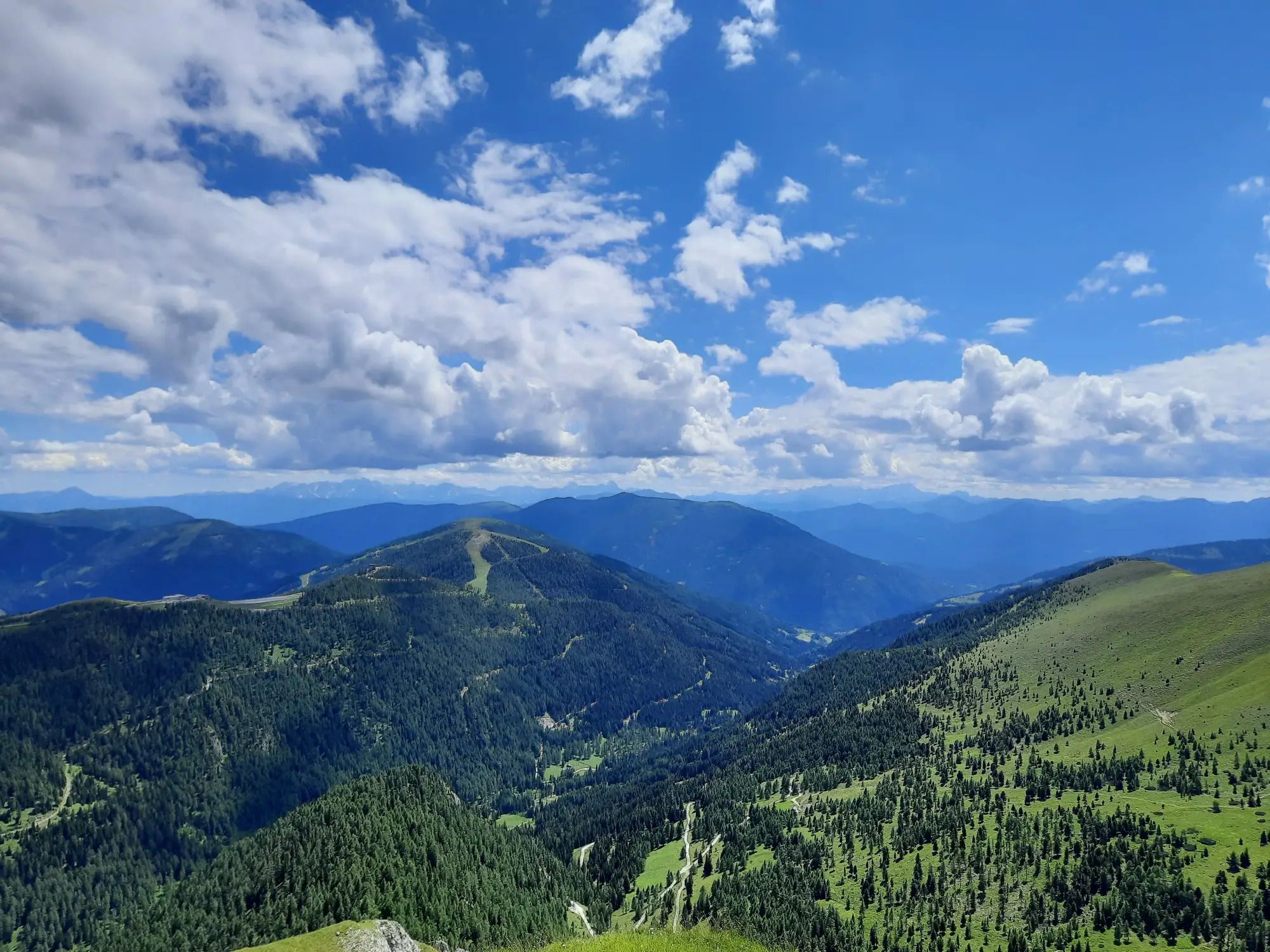
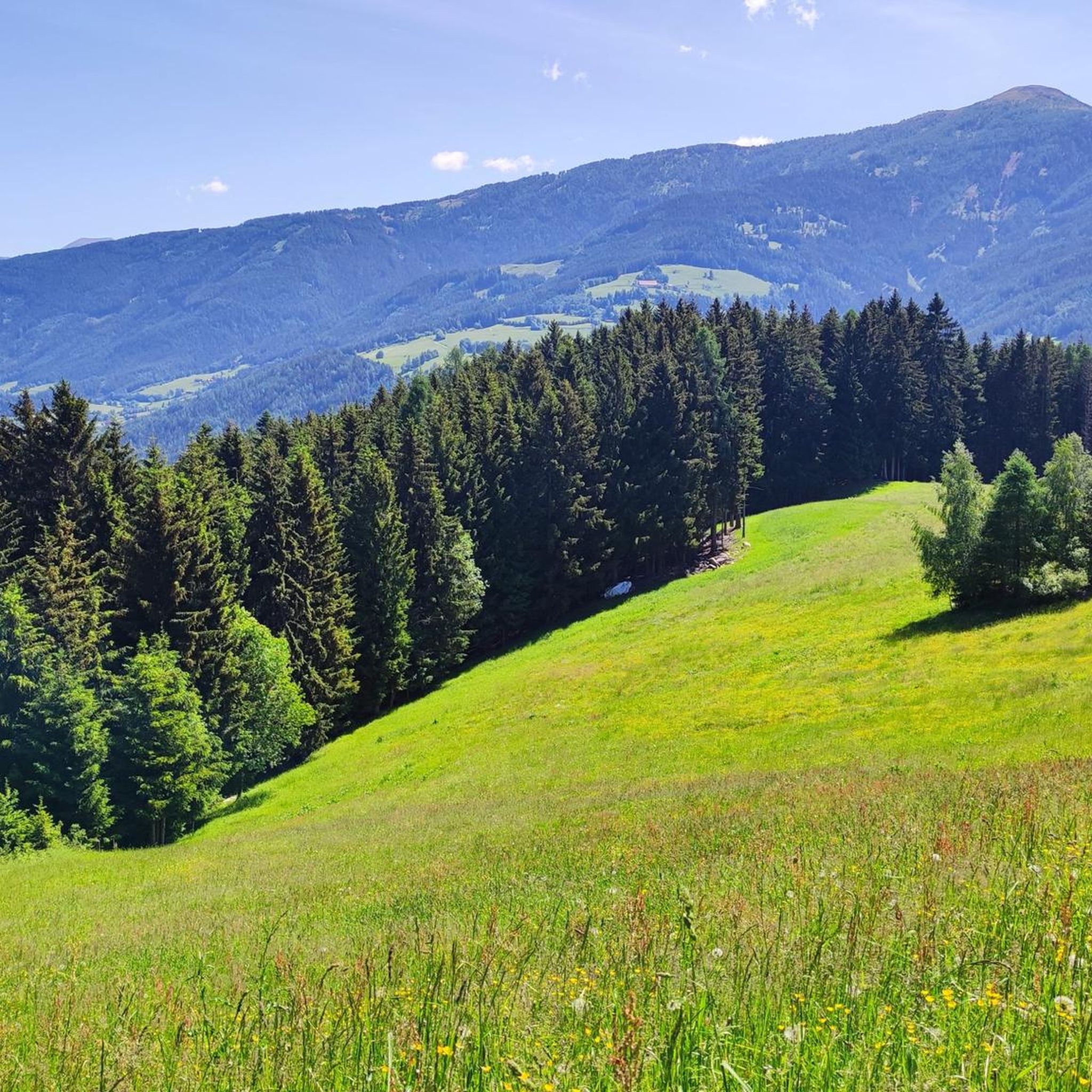
Mountaineering routes Trebesing Austria are situated within the picturesque region of Carinthia, offering diverse terrain for outdoor enthusiasts. The area is characterized by majestic mountains and preserved ecosystems, nestled between the Hohe Tauern National Park and the Nockberge Biosphere Park. Prominent peaks like Gmeineck (2,692m) and Stubeck (2,370m) provide challenging ascents and panoramic views. The landscape features varied terrain, including alpine pastures, rugged rocks, and high-alpine routes.
Best mountaineering routes around Trebesing
- The most popular mountaineering route is Gießener Hütte…
Last updated: August 18, 2026
5.0
(1)
49
hikers
Moderate mountaineering route. Good fitness required. Easily-accessible paths. Suitable for all skill levels.
4.8
(4)
41
hikers
14.0km
07:41
1,300m
1,300m
Hard mountaineering route. Very good fitness required. Sure-footedness, sturdy shoes and alpine experience required.

Sign up for free
29
hikers
8.21km
03:44
690m
690m
Moderate mountaineering route. Good fitness required. Mostly accessible paths. Sure-footedness required.
22
hikers
17.4km
07:45
1,430m
1,430m
Hard mountaineering route. Very good fitness required. Mostly accessible paths. Sure-footedness required.
5.0
(1)
18
hikers
14.7km
07:12
1,240m
1,240m
Hard mountaineering route. Very good fitness required. Sure-footedness, sturdy shoes and alpine experience required.
Get access to more routes and recommendations from other explorers.
Sign up for free
Already have an account?
Our route recommendations are based on thousands of hikes, rides, and runs completed by other people on komoot.
Start today with a free account
Your next adventure awaits.
Login or Signup

Other adventures around Trebesing

Tips from the Community

The bike path from Mallnitz to Spittal is well signposted! Some sections require chunkier tires! 🚵♂️ There's plenty of interesting things to see and some great places to stop for a break!
1
0
The bike path from Mallnitz to Möllbrücke is well signposted! Some sections require chunkier tires! 🚵♂️
1
0

Super nice hut and an incredibly nice hut host!
0
0

The hut has been open again since December 6, 2024 with a new tenant
1
0

The hut has been closed since the beginning of 2024
0
0


Information about the hut can be found here: https://www.sonnalm-gmuend.at/
2
0

Frequently Asked Questions
Are there mountaineering routes suitable for beginners in Trebesing?
While Trebesing is known for its challenging alpine terrain, there are no routes classified as 'easy' for mountaineering. However, there are 11 'moderate' routes that could be suitable for those with some experience and good fitness. These routes offer a great way to experience the region's beauty without tackling the most demanding ascents.
Can I find circular mountaineering routes around Trebesing?
Yes, many of the mountaineering routes in Trebesing are circular, allowing you to start and end at the same point. For example, the Gießener Hütte loop from Gießener Hütte is a difficult 5.2-mile (8.4 km) route, and the Frido Kordon Hut loop from Frido-Kordon-Hütte is a moderate 5.0-mile (8.0 km) option through alpine meadows.
What natural landmarks or viewpoints can I discover on mountaineering routes in Trebesing?
The Trebesing region is rich in natural beauty. On your mountaineering adventures, you can encounter stunning viewpoints like the Millstätter Alpe Plateau, or reach significant summits such as the Gmeineck Summit and Stubeck Summit Cross, which offer exceptional panoramic views. You might also come across the beautiful Barbarossa Gorge Waterfall.
When is the best time of year for mountaineering in Trebesing?
The prime season for mountaineering in Trebesing typically runs from late spring to early autumn, roughly May to October. During this period, the weather is generally more stable, and mountain huts like the Schwaiger Hut are open, offering refreshments and accommodation. Always check local weather forecasts and trail conditions before heading out, especially in the shoulder seasons.
Are there any family-friendly activities or trails near the mountaineering routes in Trebesing?
While the mountaineering routes themselves are generally more demanding, the Trebesing area offers family-friendly options. The 'Energy Adventure Trail Trebesing' features one of the longest suspension bridges in the Alps and an interactive 'Dragon Trail' in the Drachenschlucht (Dragon Gorge), providing an engaging outdoor experience for families.
What are the most challenging mountaineering routes in Trebesing?
Trebesing offers several difficult mountaineering routes for experienced climbers. One such challenging option is the Kohlmaierhütte loop from Hummelkopf, which spans 8.7 miles (14.0 km) with significant elevation gain. These routes often feature sustained climbing through rugged alpine terrain.
What do other mountaineers enjoy the most about mountaineering in Trebesing?
The mountaineering routes in Trebesing are highly regarded by the komoot community, with an average rating of 4.8 stars from over 40 reviews. Mountaineers frequently praise the region's diverse terrain, from alpine pastures to rugged rocks, and the breathtaking panoramic views of the Hohe Tauern, Nockberge, and even the Karawanken and Julian Alps.
Are there places to eat or stay near the mountaineering trailheads in Trebesing?
Yes, the region offers options for refreshments and accommodation. Mountain huts, such as the Schwaiger Hut, are popular destinations for hikers and mountaineers, offering delicious homemade food and amazing views, typically operating from May to October. Additionally, the nearby town of Trebesing and surrounding areas provide various accommodation choices.
How many mountaineering routes are available in the Trebesing area?
There are over 20 mountaineering routes available in the Trebesing area, offering a wide range of experiences. These include 11 moderate and 12 difficult routes, catering to various skill levels and preferences for exploring the stunning alpine landscapes.
What are the typical durations for mountaineering routes in Trebesing?
The duration of mountaineering routes in Trebesing varies significantly based on difficulty and distance. For example, a difficult route like the Kohlmaierhütte – Gmeineck Summit loop from Hühnersberg, which is 10.8 miles (17.4 km), can take around 7 hours 45 minutes. Moderate routes, such as the Gießener Hütte loop from Parkplatz Obere Thomanbaueralm 1677 m (3.9 miles / 6.2 km), might take closer to 2 hours 30 minutes.
Are dogs allowed on the mountaineering trails in Trebesing?
While many outdoor areas in Austria are dog-friendly, it's important to be aware of specific regulations, especially within the Hohe Tauern National Park and Nockberge Biosphere Park. Always keep dogs on a leash, especially in alpine pastures where livestock may be present, and ensure you clean up after them. Checking local park rules before your visit is always recommended.
What kind of terrain can I expect on mountaineering routes around Trebesing?
Mountaineering routes around Trebesing offer incredibly diverse terrain. You can expect to traverse alpine pastures, rugged rocky sections, and high-alpine environments. The region is situated between the Hohe Tauern National Park and the Nockberge Biosphere Park, providing a mix of challenging ascents and scenic paths through preserved ecosystems.
Most popular routes around Trebesing
Most popular attractions around Trebesing

Get inspired with the komoot mobile app


Explore more
Browse the best Mountain Hikes & Routes in other regions.
