The best mountain hikes around Rangersdorf
4.9
(114)
838
hikers
24
hikes
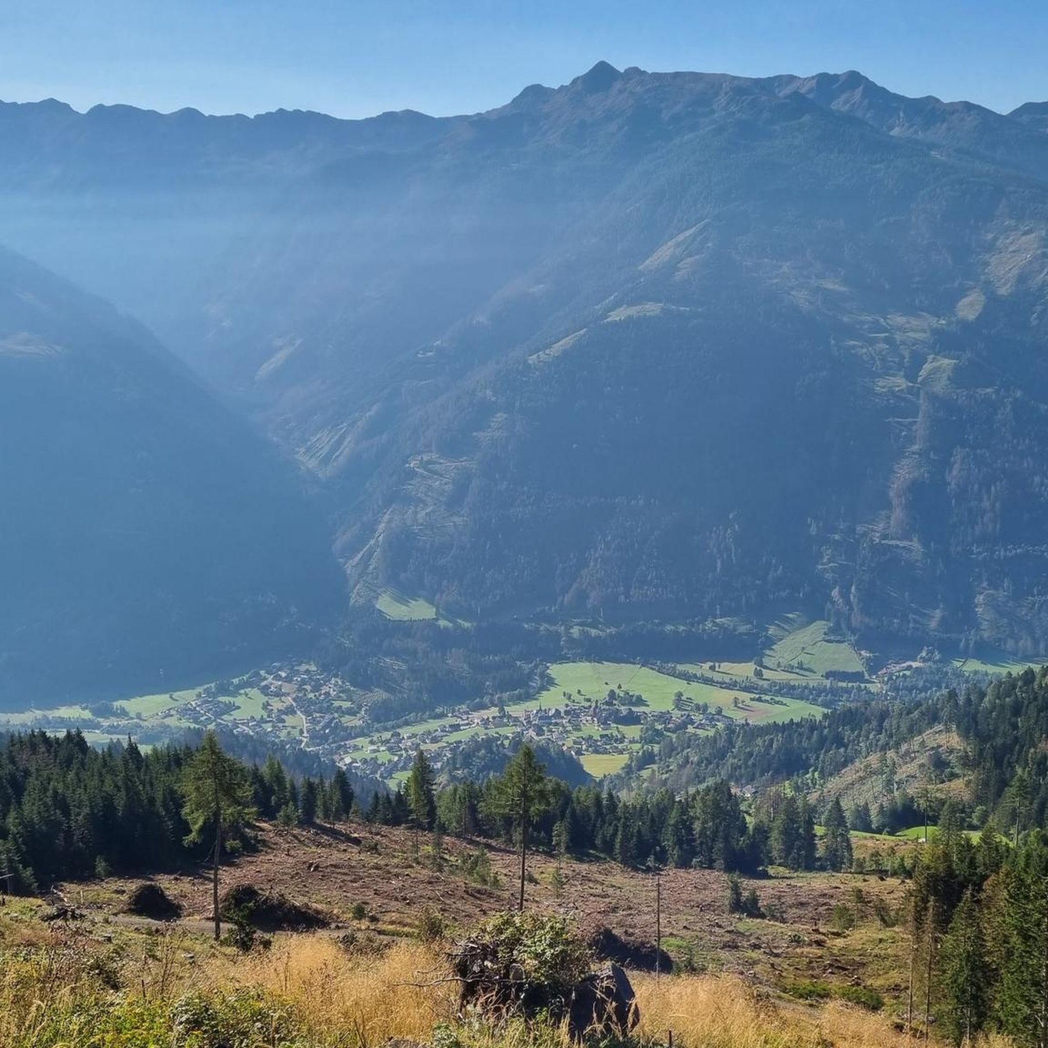
Mountaineering routes around Rangersdorf traverse a landscape characterized by significant elevation changes and alpine environments. The region features prominent peaks such as Hochkreuz (2709 m) and Strasskopf, offering challenging ascents and panoramic views. Valleys often contain power plants and lead to high-altitude pastures. The terrain includes a mix of rocky sections and open mountain slopes, typical of the Eastern Alps.
Best mountaineering routes around Rangersdorf
- The most popular mountaineering route is Mountain mailbox – Hochkreuz (2709 m) loop from Kraftwerk…
Last updated: October 11, 2026
4.5
(2)
22
hikers
5.39km
02:32
560m
560m
Moderate mountaineering route. Good fitness required. Easily-accessible paths. Suitable for all skill levels.
12
hikers
15.2km
06:36
1,170m
1,170m
Hard mountaineering route. Very good fitness required. Mostly accessible paths. Sure-footedness required.

5.0
(1)
14
hikers
8.70km
05:15
940m
940m
Hard mountaineering route. Very good fitness required. Sure-footedness, sturdy shoes and alpine experience required.
4.0
(2)
10
hikers
17.6km
07:10
1,190m
1,190m
Hard mountaineering route. Very good fitness required. Sure-footedness, sturdy shoes and alpine experience required.
10
hikers
7.35km
04:36
810m
810m
Hard mountaineering route. Good fitness required. Sure-footedness, sturdy shoes and alpine experience required.
Get access to more routes and recommendations from other explorers.
Already have an account?
Our route recommendations are based on thousands of hikes, rides, and runs completed by other people on komoot.
Start today with a free account
Your next adventure awaits.
Popular around Rangersdorf

Alpe-Adria-Trail: My long-distance hike from the glacier to the sea

From the Grossglockner to the sea on the Alpe Adria Trail
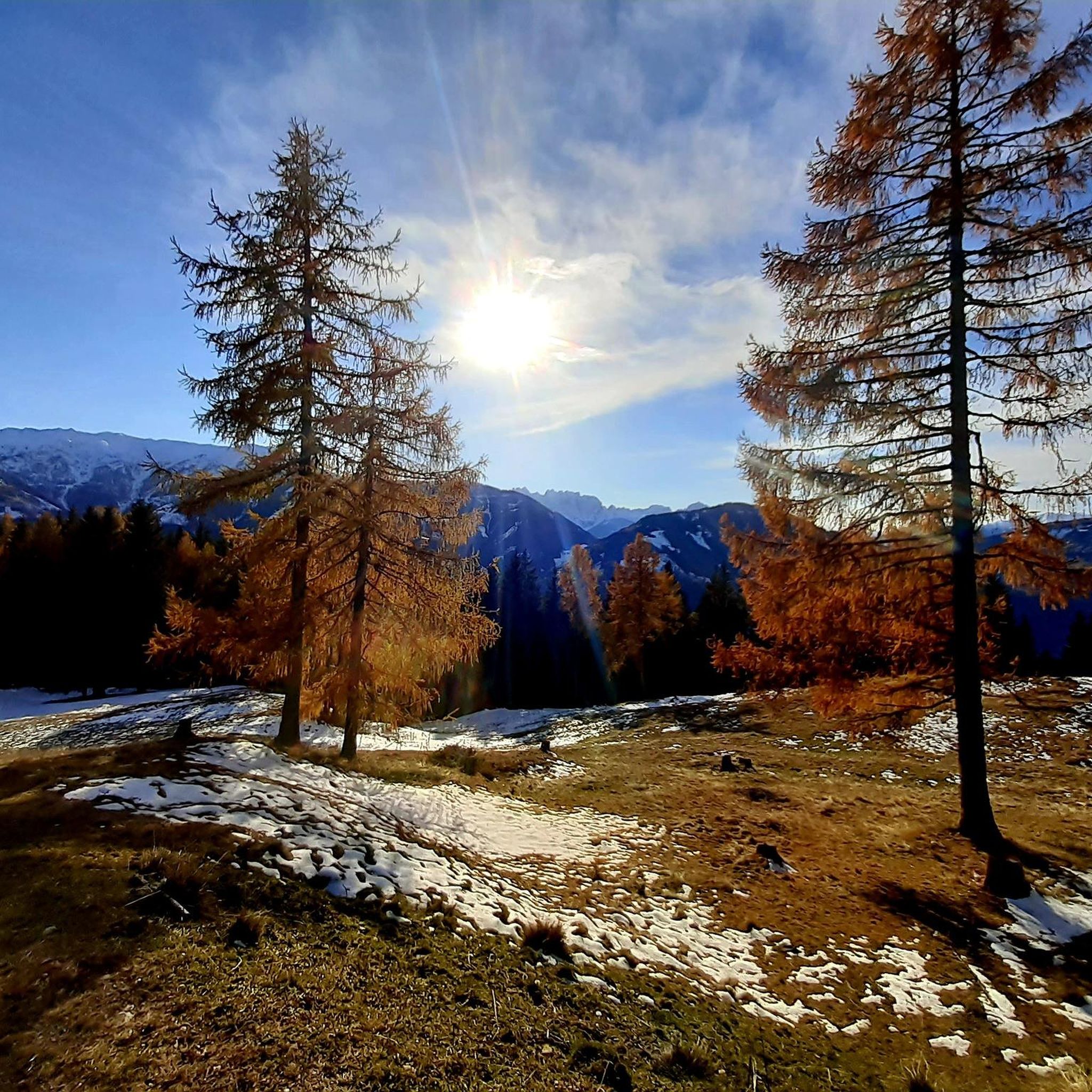
Cycling around Rangersdorf
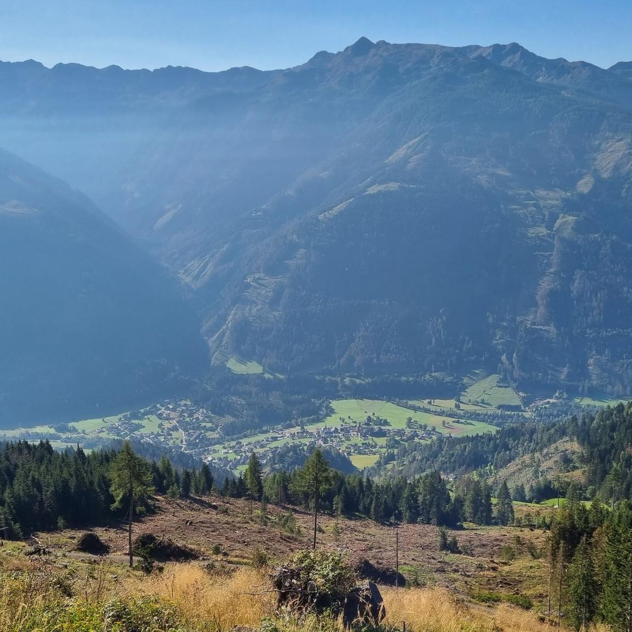
Hiking around Rangersdorf
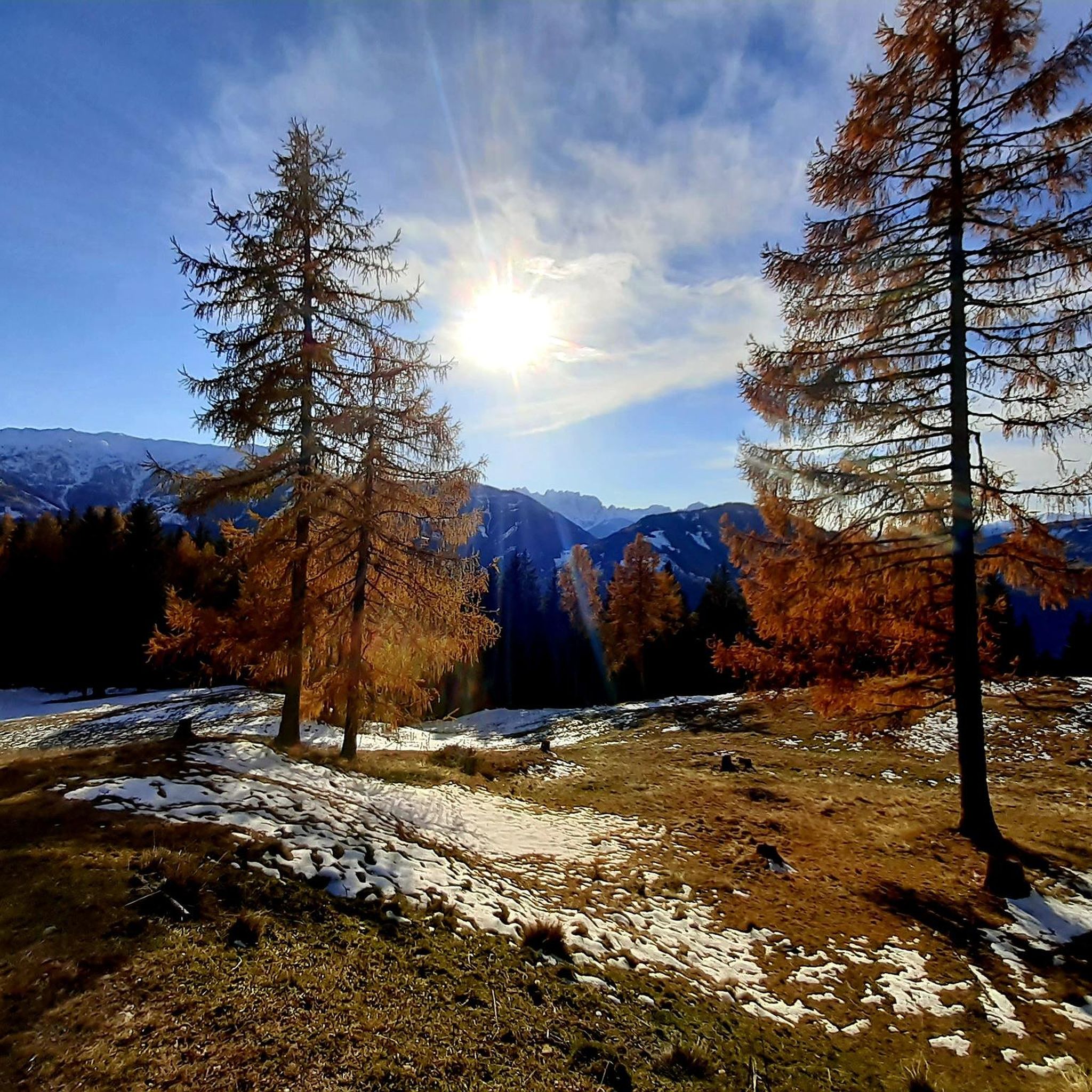
Road Cycling Routes around Rangersdorf
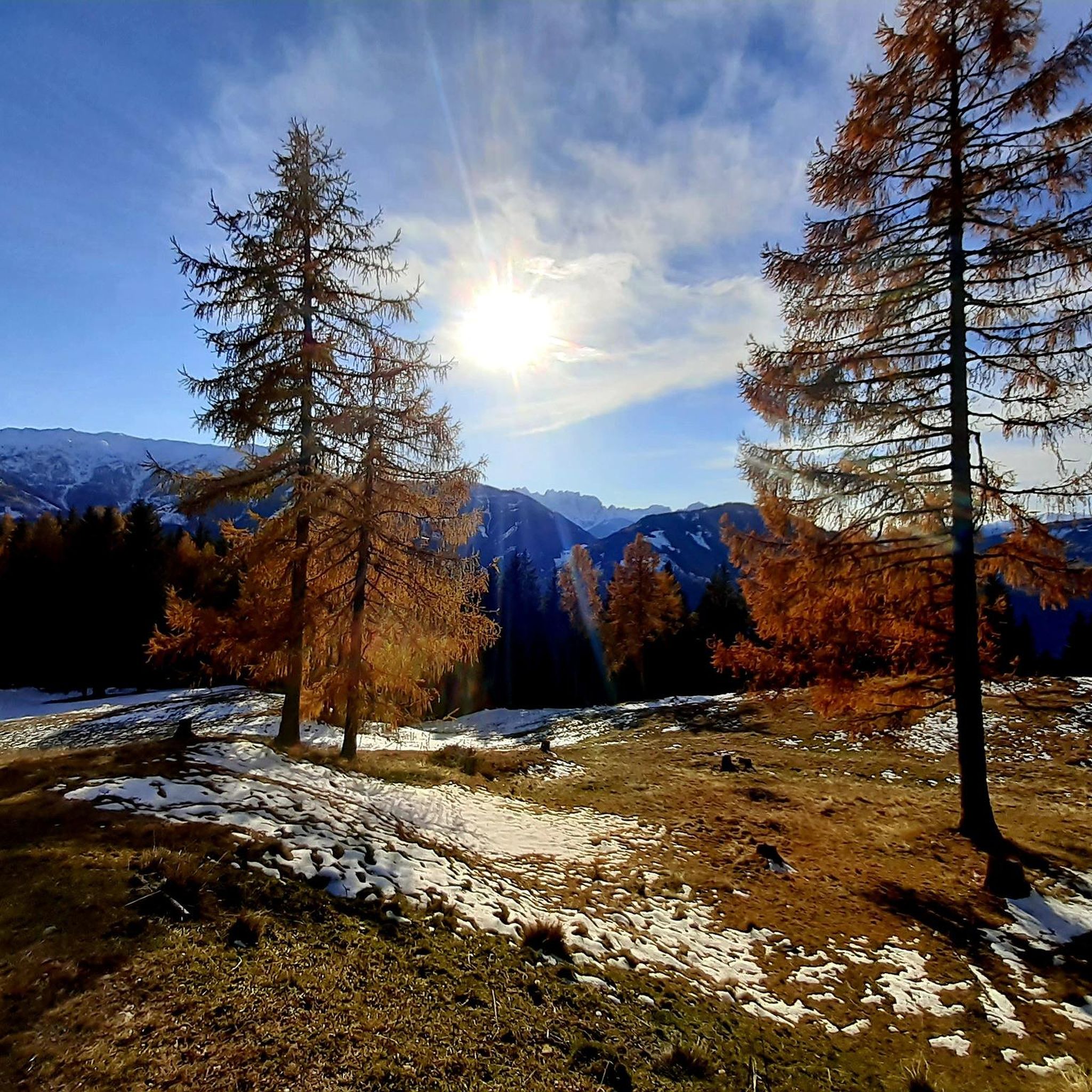
MTB Trails around Rangersdorf
Running Trails around Rangersdorf
Gravel biking around Rangersdorf


Tips from the Community

wonderful alpine meadow below the Roaneralm and the view of the Alps is sensational
0
0
beautiful alpine pasture below the Roaneralm and the view of the Alps is sensational
0
0
beautiful view from the Roaneralmsattel
0
0

Wonderful view down almost to the Drau valley and a comfortable sky lounger make this place a dream spot for a break.
0
0
well-run and beautifully located hut with excellent cuisine
0
0

very nice ensemble on the tour.
0
0

Very beautiful hiking trail with magnificent views.
1
0

Here you can sit comfortably outside in the sun, enjoy the view of the mountains and fortify yourself with a delicious snack.
1
0
Frequently Asked Questions
What is the overall difficulty level of mountaineering routes in Rangersdorf?
Rangersdorf offers a range of mountaineering routes, predominantly featuring moderate to difficult ascents. While there are a few easier options, the region is characterized by significant elevation changes and alpine environments, making many routes challenging. You'll find 11 moderate and 17 difficult routes, with a few easier paths for those new to the sport.
Are there any beginner-friendly mountaineering routes in Rangersdorf?
Yes, while many routes are challenging, there are options suitable for beginners. For instance, the Anna-Schutzhaus – Ederplan loop from Zwischenberger Sattel is a moderate 3.3-mile route that can be completed in about 2 hours 32 minutes, offering a good introduction to the region's mountain terrain.
What are some of the more challenging mountaineering routes in the Rangersdorf area?
For experienced mountaineers seeking a challenge, routes like the Mountain mailbox – Hochkreuz (2709 m) loop from Kraftwerk Wölla offer extensive alpine vistas and a substantial ascent over 10.6 miles. Another demanding option is the Leppner Knappersee – Summit cross on Hochtristen loop from Leppneralm, a difficult 8.6-mile route with significant elevation gain.
Are there any circular mountaineering routes in Rangersdorf?
Many of the mountaineering routes in Rangersdorf are designed as loops, allowing you to start and end at the same point. Examples include the challenging Mountain mailbox – Hochkreuz (2709 m) loop from Kraftwerk Wölla and the moderate Anna-Schutzhaus – Ederplan loop from Zwischenberger Sattel.
What is the best time of year for mountaineering in Rangersdorf?
The prime season for mountaineering in Rangersdorf is typically from late spring to early autumn (June to September) when the weather is most stable and trails are clear of snow. Always check local weather forecasts and trail conditions before heading out, as alpine weather can change rapidly.
Are there any waterfalls or other natural attractions along the mountaineering routes?
While specific routes may not directly pass by all of them, the Rangersdorf area is known for its natural beauty. You can find several waterfalls nearby, such as the Frauenbach Waterfall and the Stock mill and waterfall. The region's valleys also lead to high-altitude pastures and offer views of prominent peaks like Hochkreuz.
What kind of wildlife might I encounter on the mountain trails in Rangersdorf?
The alpine environment around Rangersdorf is home to various wildlife. Depending on the altitude and season, you might spot chamois, ibex, marmots, and a variety of alpine birds. Keep a respectful distance and observe quietly to avoid disturbing their natural habitat.
Are there any cafes or huts near the mountaineering routes for refreshments?
Yes, many alpine regions, including Rangersdorf, have mountain huts (Schutzhäuser) or alms that offer refreshments and sometimes overnight stays. For example, the Anna-Schutzhaus – Ederplan loop passes by the Anna-Schutzhaus, providing a place to rest and refuel. It's always advisable to check opening times before your tour.
What do other mountaineers enjoy most about the routes in Rangersdorf?
The mountaineering routes in Rangersdorf are highly rated by the komoot community, with an average score of 4.8 stars. Reviewers frequently praise the challenging ascents, the extensive alpine vistas from peaks like Hochkreuz and Strasskopf, and the varied mountain terrain that offers a true high-alpine experience.
How many mountaineering routes are available in the Rangersdorf area?
There are over 29 mountaineering routes documented around Rangersdorf, offering a wide range of options for different skill levels and preferences. These include 11 moderate and 17 difficult trails, ensuring there's a suitable adventure for most mountaineers.
Are there any multi-day mountaineering options in Rangersdorf?
While many routes are designed for day trips, the challenging nature and length of some trails, such as the 10.9-mile Winklerner Hut – Strasskopf Summit Cross loop from Iselsberg, can be combined or extended for multi-day adventures. Planning involves considering mountain huts for overnight stays and carrying appropriate gear.
Most popular routes around Rangersdorf
Most popular attractions around Rangersdorf

Get inspired with the komoot mobile app


Explore more
Browse the best Mountain Hikes & Routes in other regions.
