The best road cycling routes around Abinger
4.6
(362)
12,350
riders
16
rides
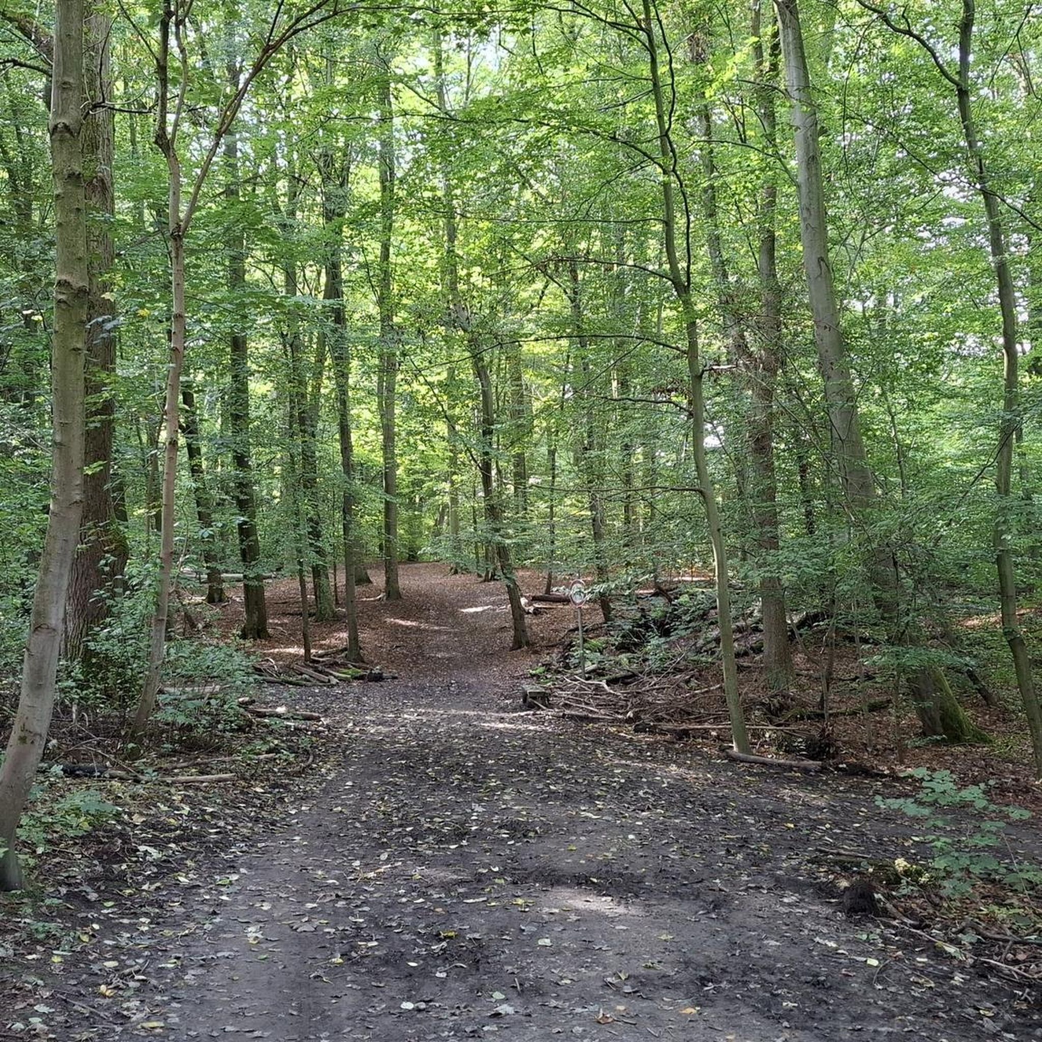
Road cycling around Abinger, nestled within the Mole Valley and Surrey Hills National Landscape, offers diverse terrain for cyclists. The region is characterized by rolling hills, extensive woodlands like Abinger Forest, and quiet country lanes. Waterways such as the River Tillingbourne add to the scenic routes. Cyclists can expect varied elevation gains across well-paved surfaces, with some segments potentially unpaved.
Best road cycling routes around Abinger
- The most popular road cycling route is The Parrot – Loxwood Lock loop from…
Last updated: October 7, 2026
64
riders
44.2km
01:58
310m
310m
Moderate road ride. Good fitness required. Mostly well-paved surfaces and easy to ride.
4.3
(3)
60
riders
27.6km
01:19
180m
190m
Easy road ride. Great for any fitness level. Mostly well-paved surfaces and easy to ride.

43
riders
19.7km
01:06
320m
320m
Moderate road ride. Good fitness required. Some segments of this route may be unpaved and difficult to ride.
5.0
(2)
16
riders
40.2km
01:48
260m
260m
Easy road ride. Great for any fitness level. Mostly well-paved surfaces and easy to ride.
13
riders
32.9km
01:27
240m
240m
Easy road ride. Great for any fitness level. Mostly well-paved surfaces and easy to ride.
Get access to more routes and recommendations from other explorers.
Already have an account?
Our route recommendations are based on thousands of hikes, rides, and runs completed by other people on komoot.
Start today with a free account
Your next adventure awaits.
Other adventures around Abinger

Tips from the Community


Tasty and filling fresh sausage rolls and pastries make this a favourite stop of mine when cycling in the Surrey Hills. Always a friendly welcome and a good place to top up your water bottle.
0
0


So pretty, very quiet but the Road Surface is awful
0
0

Great place to stock up and the flap jacks are pretty good too
0
0

Boar Hill on Coldharbour Lane is a tough little climb with a kick at the end. You climb from 289 feet (88 m) in Dorking up to about 656 feet (200 m) near Robbing Gate. The area is popular with bikes and this climb is easily linked with Box Hill.
0
0
Frequently Asked Questions
What kind of terrain can I expect on road cycling routes around Abinger?
Abinger, situated within the Surrey Hills National Landscape, offers a diverse landscape for road cyclists. You'll encounter rolling hills, extensive woodlands like Abinger Forest, and quiet country lanes. While most surfaces are well-paved, some segments may be unpaved and more challenging. Notable climbs include Leith Hill and Box Hill.
Are there challenging climbs for experienced road cyclists in Abinger?
Yes, Abinger and its surroundings feature several challenging climbs. Cyclists often tackle iconic ascents like Leith Hill and Box Hill. For a specific route with significant elevation, consider the Coldharbour Lane Summit – The Plough Inn loop from Abinger, which leads through the hilly terrain of the Surrey Hills.
Are there easy road cycling routes suitable for beginners in Abinger?
Absolutely. Abinger offers several easy routes perfect for beginners or those seeking a less strenuous ride. For example, the The Parrot Freehouse – Baynards Station loop from Abinger is an easy 17.1-mile path through picturesque countryside. Another option is The Parrot – Dunchurch Inn loop from Abinger, an easy 40.2 km route.
What natural features or landmarks can I see while road cycling in Abinger?
The region is rich in natural beauty. You can expect to see extensive woodlands such as Abinger Forest and Abinger Roughs, flowing waterways like the River Tillingbourne, and stunning views from high points within the Surrey Hills National Landscape. Leith Hill, the highest point in southeast England, offers panoramic views from its tower. You can also explore areas like Abinger Roughs and Netley Park.
Are there any historical sites or cultural attractions near the road cycling routes?
Yes, the area around Abinger offers several points of interest. You might encounter the idyllic Abinger Hammer Village with its village green and tea-room. For historical sites, consider visiting the Guildford Castle Grounds or the Castle Arch. The Betchworth Castle Ruins are also nearby.
Where can I find places to eat or drink along the road cycling routes?
Abinger and its vicinity offer charming country pubs and tea rooms perfect for a refreshment stop. The Abinger Hammer Village has a tea-room, and popular pubs like The Abinger Hatch and Stephan Langton Inn are welcoming stops. Some routes, like the The Parrot – Loxwood Lock loop from Abinger, are named after local establishments, indicating potential stops.
How many road cycling routes are available around Abinger?
There are over 15 road cycling routes available around Abinger, catering to various fitness levels and preferences. These routes allow you to explore the diverse landscapes of the Mole Valley and Surrey Hills National Landscape.
What do other road cyclists enjoy most about road cycling in Abinger?
The road cycling routes in Abinger are highly rated by the komoot community, with an average score of 4.8 stars. Reviewers often praise the quiet country lanes, the picturesque rolling hills, and the extensive woodlands that make for a safe and enjoyable cycling experience.
Are there circular road cycling routes available in Abinger?
Yes, many of the road cycling routes around Abinger are designed as circular loops, allowing you to start and finish at the same point. Examples include The Parrot – Loxwood Lock loop from Abinger and The Parrot – Frith Street Climb loop from Wallis Wood.
What are the typical distances and durations for road cycling routes in Abinger?
Routes in Abinger vary in length and duration. You can find shorter rides, such as the Coldharbour Lane Summit – The Plough Inn loop from Abinger, which is about 12.2 miles (19.6 km) and takes around 1 hour 6 minutes. Longer routes, like The Parrot – Loxwood Lock loop from Abinger, cover approximately 28.0 miles (45.0 km) and can take around 2 hours.
Can I find routes that incorporate specific natural features like lakes or ponds?
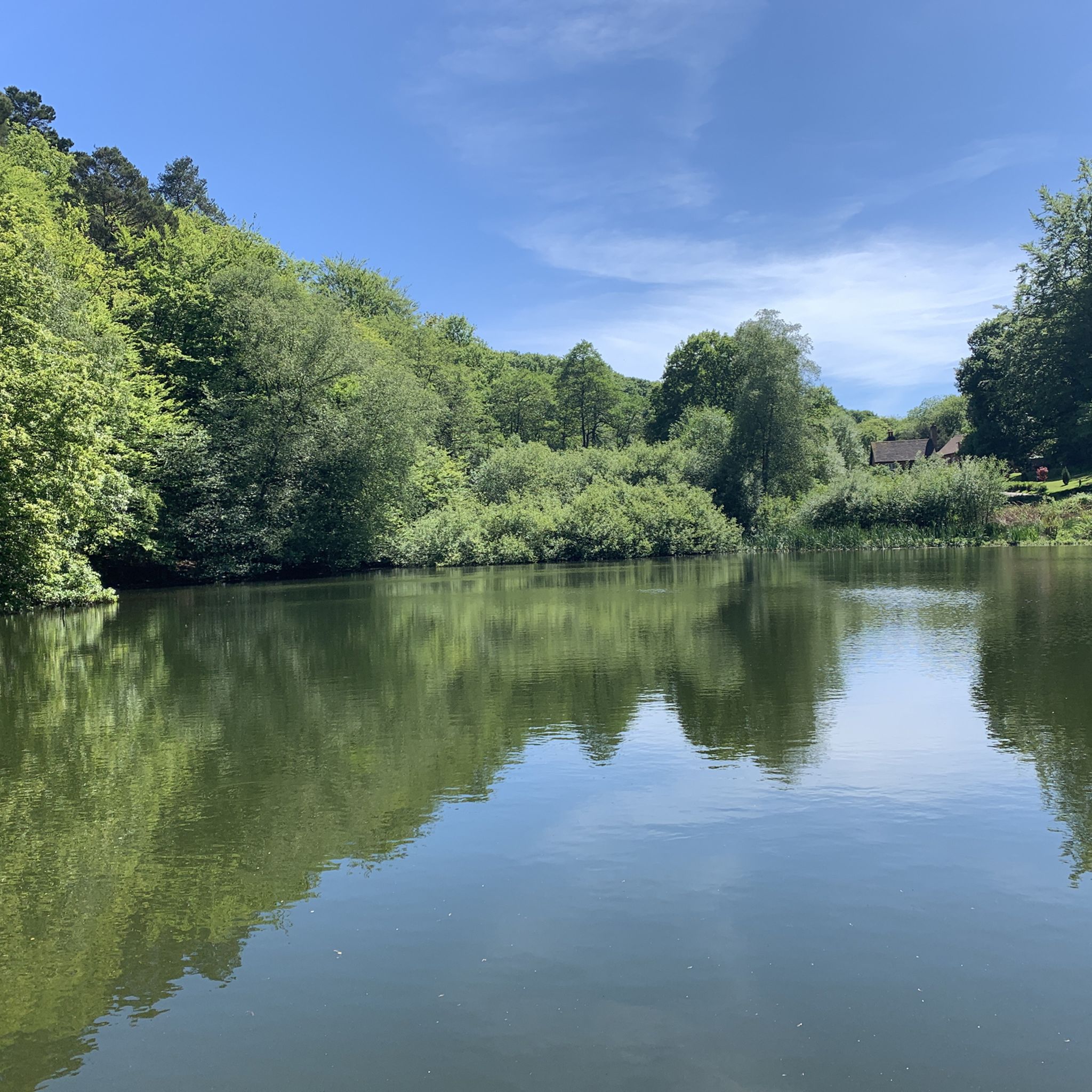
Yes, the area around Abinger features several beautiful waterways and ponds. While cycling, you might pass by highlights such as Friday Street Mill Pond, the serene Silent Pool, or Vann Lake Nature Reserve, adding scenic variety to your ride.
Most popular routes around Abinger
Most popular attractions around Abinger

Get inspired with the komoot mobile app


Explore more
Browse the best Road cycling routes in other regions.
