The best mountain hikes around Irschen
5.0
(72)
561
hikers
23
hikes
Mountaineering routes around Irschen are characterized by the mountainous terrain of Carinthia, offering a mix of challenging ascents and scenic paths through alpine landscapes. The region features significant elevation changes, with routes often leading to prominent peaks and through forested valleys. This area provides diverse opportunities for mountaineers to explore high-altitude environments and enjoy panoramic views.
Best mountaineering routes around Irschen
- The most popular mountaineering route is Mountaineering loop from Burgruine Flaschberg, a 1.5 mile (2.5 km) trail that…
Last updated: June 25, 2026
5.0
(5)
19
hikers
Easy mountaineering route. Great for any fitness level. Easily-accessible paths. Suitable for all skill levels.
16
hikers
15.2km
06:36
1,170m
1,170m
Hard mountaineering route. Very good fitness required. Mostly accessible paths. Sure-footedness required.

Sign up for free
5.0
(3)
13
hikers
12.3km
05:19
790m
790m
Hard mountaineering route. Very good fitness required. Sure-footedness, sturdy shoes and alpine experience required.
5.0
(1)
15
hikers
8.70km
05:15
940m
940m
Hard mountaineering route. Very good fitness required. Sure-footedness, sturdy shoes and alpine experience required.
11
hikers
7.35km
04:36
810m
810m
Hard mountaineering route. Good fitness required. Sure-footedness, sturdy shoes and alpine experience required.
Get access to more routes and recommendations from other explorers.
Sign up for free
Already have an account?
Our route recommendations are based on thousands of hikes, rides, and runs completed by other people on komoot.
Start today with a free account
Your next adventure awaits.
Login or Signup
Popular around Irschen
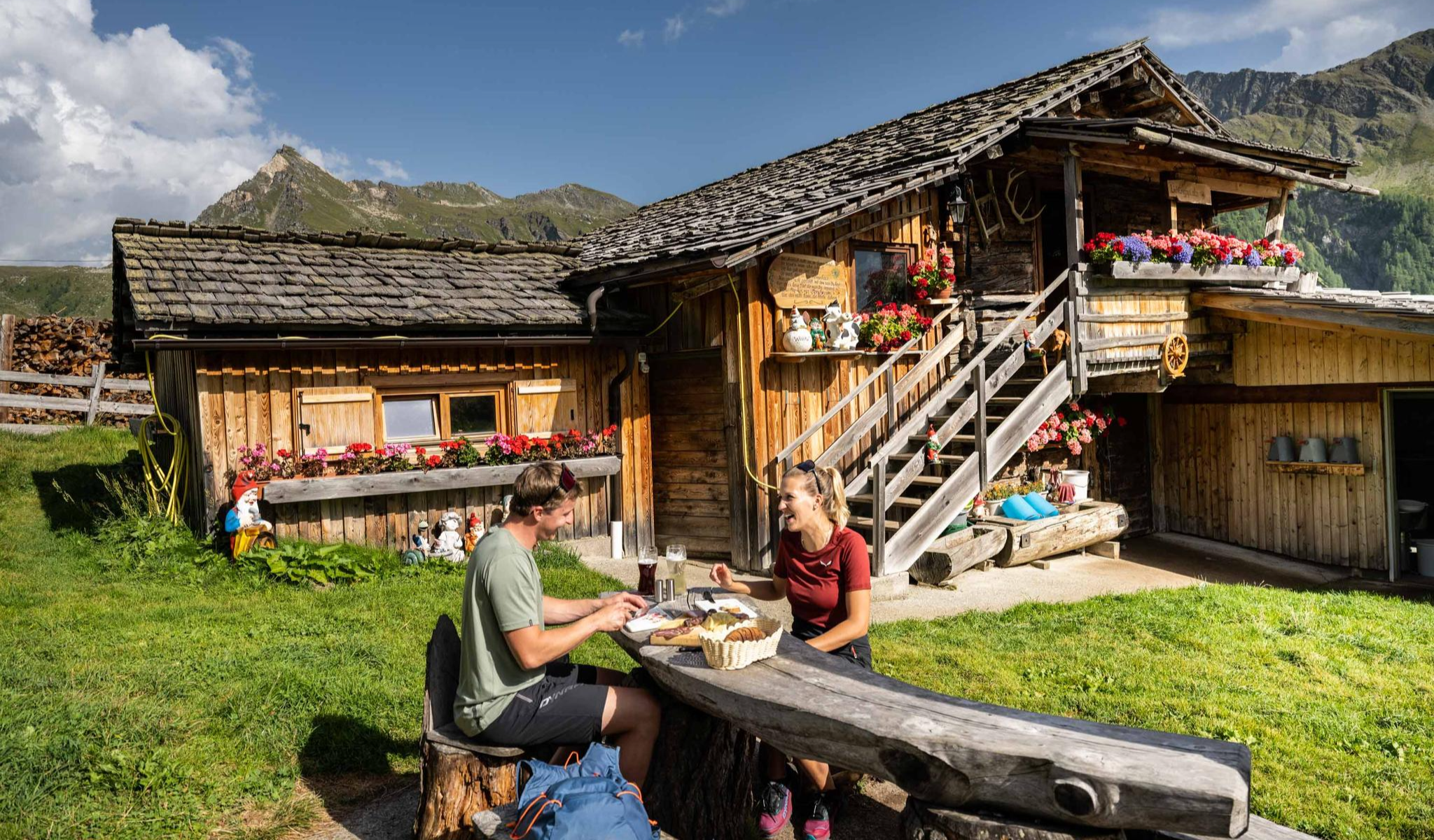
Peak happiness – hut hikes in the High Tauern
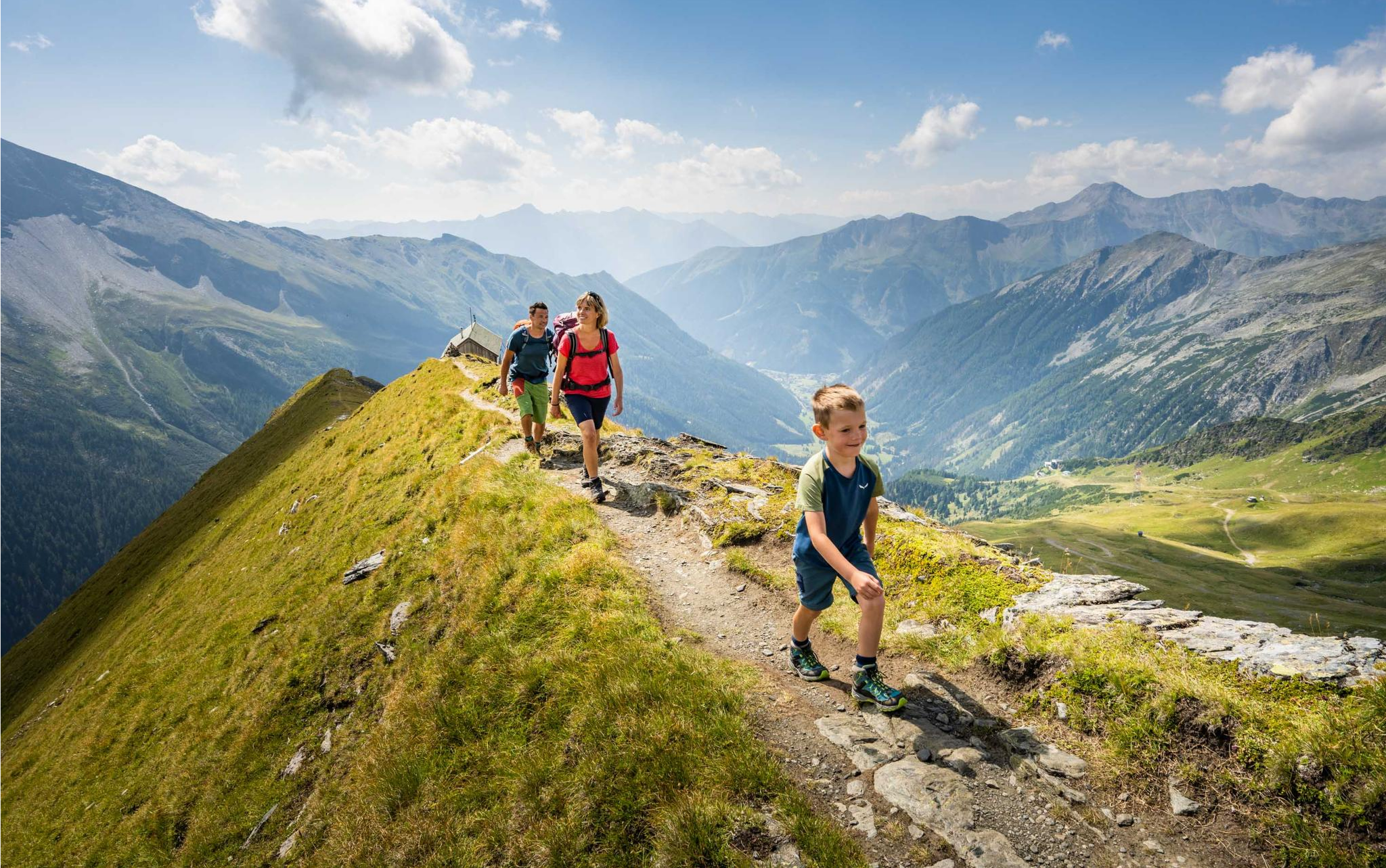
Varied family hiking in the High Tauern
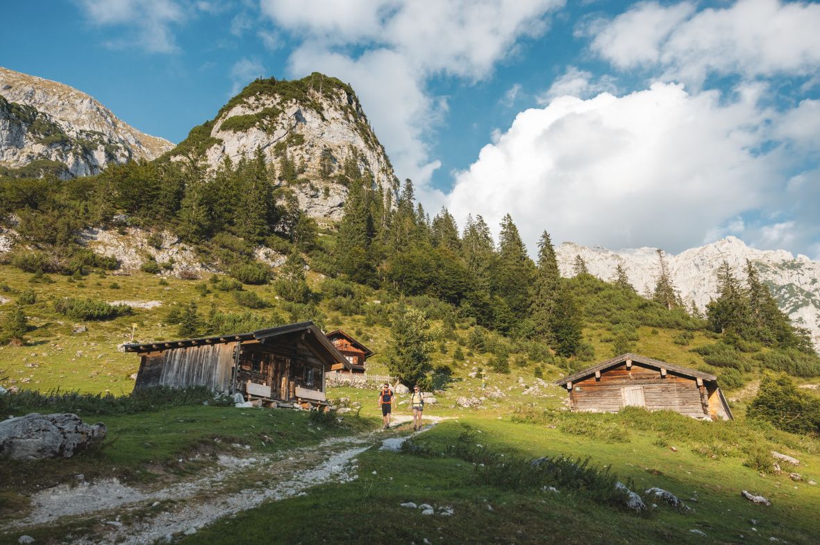
Alpine dreams come true in Austria's Hiking Villages
Peaks and gorges in the Hohe Tauern
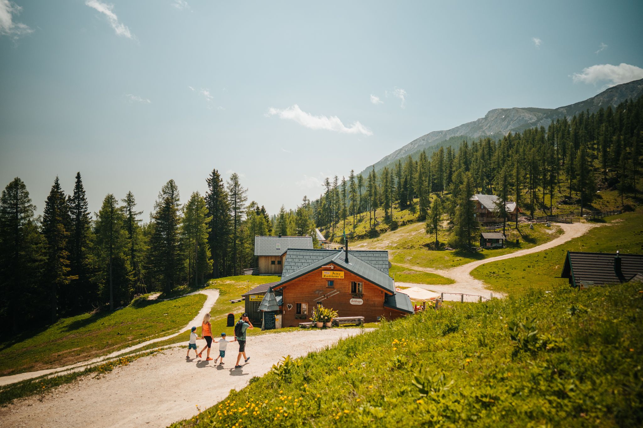
Auszeit auf der Alm – Wandern zu Kärntens schönsten Hütten
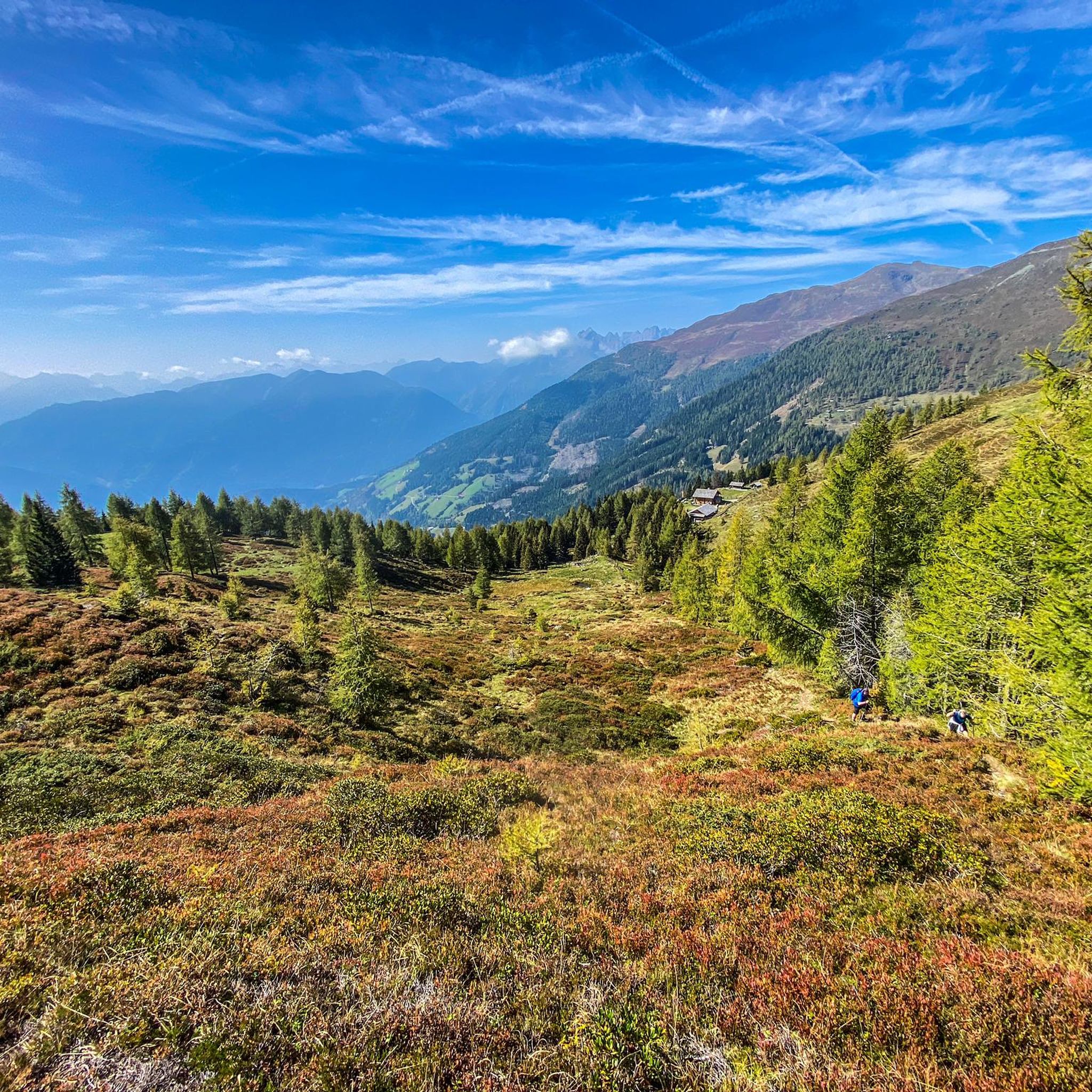
Hiking around Irschen
Cycling around Irschen
Road Cycling Routes around Irschen
MTB Trails around Irschen

Gravel biking around Irschen
Other adventures around Irschen


Tips from the Community

What is flowing there is the Pirkbach, which flows into the Drau. Not the Isel. And in Carinthia, wild camping is generally forbidden. If you don't want to get splashed by the farmer's slurry tanker at dawn, you'd better not spend the night here. 😉
1
0

Wonderful view down almost to the Drau valley and a comfortable sky lounger make this place a dream spot for a break.
0
0

Very beautiful hiking trail with magnificent views.
1
0

Here you can sit comfortably outside in the sun, enjoy the view of the mountains and fortify yourself with a delicious snack.
1
0

It is probably emptied daily...by whom? In any case, we were not prepared and did not have a map with us. It was a bit too windy for a break, so we sat down in the lee of the nearby lake.
0
0

Great alpine hut, great food (dumpling trio), reasonable prices
0
0

Moderately difficult gorge via ferrata through the Pirknerklamm (climbing up to difficulty level C). At the end you climb right next to the waterfall, the spray often creates a beautiful rainbow. Only attempt this with appropriate equipment.
0
0

Great hike from the Emberger Alm over the Nasfeldriegel to the Hohe Grände, approx. 2325m altitude, now continue towards Knot
0
0
Frequently Asked Questions
How many mountaineering routes are available around Irschen?
There are over 25 mountaineering routes around Irschen, offering a wide range of options for different skill levels. The region is known for its diverse alpine landscapes and challenging ascents.
Are there any easy mountaineering routes suitable for beginners or families in Irschen?
Yes, Irschen offers a few easier options. For instance, the Mountaineering loop from Burgruine Flaschberg is an easy 1.5-mile (2.5 km) trail, providing a gentle introduction to the region's foothills.
What kind of challenging routes can I find in Irschen?
Irschen is well-suited for experienced mountaineers, with 15 difficult routes. A notable challenging option is the Mountain mailbox – Hochkreuz (2709 m) loop from Kraftwerk Wölla, a demanding 10.6-mile (17.1 km) path featuring substantial elevation gain to a high alpine summit.
Are there circular mountaineering routes in the Irschen area?
Many of the mountaineering routes around Irschen are designed as loops. For example, the Ochsentörl – Naßfeldriegel Summit (2,236 m) loop from Tristenhaus is a popular circular trail leading through alpine meadows and rocky sections.
What is the best season for mountaineering in Irschen?
The best season for mountaineering in Irschen is typically from late spring to early autumn (June to September) when the weather is most stable and the high-altitude trails are clear of snow. Always check local weather conditions before heading out.
What do other mountaineers enjoy most about the routes in Irschen?
The routes in Irschen are highly rated by the komoot community, with an average score of 5.0 stars from over 70 reviews. Mountaineers often praise the panoramic views, the challenging ascents, and the diverse alpine landscapes.
Are there any interesting natural landmarks or attractions along the mountaineering routes?
Yes, the region around Irschen offers several natural attractions. You might encounter beautiful alpine lakes such as Gippersee or Glanzsee. Some routes also pass by historic sites like the Burgruine Flaschberg.
Are there mountain huts or shelters available along the trails in Irschen?
Yes, there are several mountain huts and shelters in the vicinity of Irschen that can provide a resting point or overnight stay. Notable options include the Anna Schutzhaus and the Feldnerhütte.
Where can I find parking for mountaineering routes in Irschen?
Many routes around Irschen, such as the Leppner Knappersee – Summit cross on Hochtristen loop from Leppneralm, often start from trailheads with designated parking areas. It's advisable to check the specific route details on komoot for parking information at the starting point.
Are there any permits required for mountaineering in the Irschen area?
Generally, no special permits are required for mountaineering on marked trails in the Irschen region. However, always respect local regulations, especially if you plan to venture into protected areas or private land.
Can I reach mountaineering trailheads in Irschen using public transport?
While some trailheads might be accessible by local bus services, many mountaineering routes in alpine regions like Irschen are best reached by car. It's recommended to check local public transport schedules and connections to specific starting points before planning your trip.
What is the elevation gain like on mountaineering routes in Irschen?
Mountaineering routes in Irschen feature significant elevation changes. For example, the Summit cross on Hochtristen loop from Unteralm involves an ascent of over 800 meters, offering a good workout and rewarding views.
Most popular routes around Irschen
Most popular attractions around Irschen

Get inspired with the komoot mobile app


Explore more
Browse the best Mountain Hikes & Routes in other regions.
