The best mountain hikes around Himmelberg
4.5
(6)
142
hikers
16
hikes
Mountaineering routes around Himmelberg traverse diverse landscapes, from the high plateaus of Carinthia, Austria, to the challenging terrain of the Black Forest in Germany. The region features significant elevation changes, dense forests, and numerous summits offering panoramic views. Alpine experiences range from strenuous hikes requiring sure-footedness to routes with considerable ascents.
Best mountaineering routes around Himmelberg
- The most popular mountaineering route is Gerlitzen Mountain Area – Huaba Hittn loop from Innerteuchen, a 10.2 miles (16.4 km) trail that takes…
Last updated: August 18, 2026
34
hikers
16.3km
05:38
910m
910m
Hard mountaineering route. Very good fitness required. Easily-accessible paths. Suitable for all skill levels.
4.0
(1)
32
hikers
Hard mountaineering route. Very good fitness required. Sure-footedness, sturdy shoes and alpine experience required.

Sign up for free
5.0
(1)
23
hikers
10.3km
05:34
980m
980m
Hard mountaineering route. Very good fitness required. Sure-footedness, sturdy shoes and alpine experience required.
5.0
(1)
17
hikers
9.28km
05:21
970m
970m
Hard mountaineering route. Very good fitness required. Sure-footedness, sturdy shoes and alpine experience required.
5.0
(1)
6
hikers
7.10km
02:29
380m
380m
Moderate mountaineering route. Good fitness required. Easily-accessible paths. Suitable for all skill levels.
Get access to more routes and recommendations from other explorers.
Sign up for free
Already have an account?
Our route recommendations are based on thousands of hikes, rides, and runs completed by other people on komoot.
Start today with a free account
Your next adventure awaits.
Login or Signup
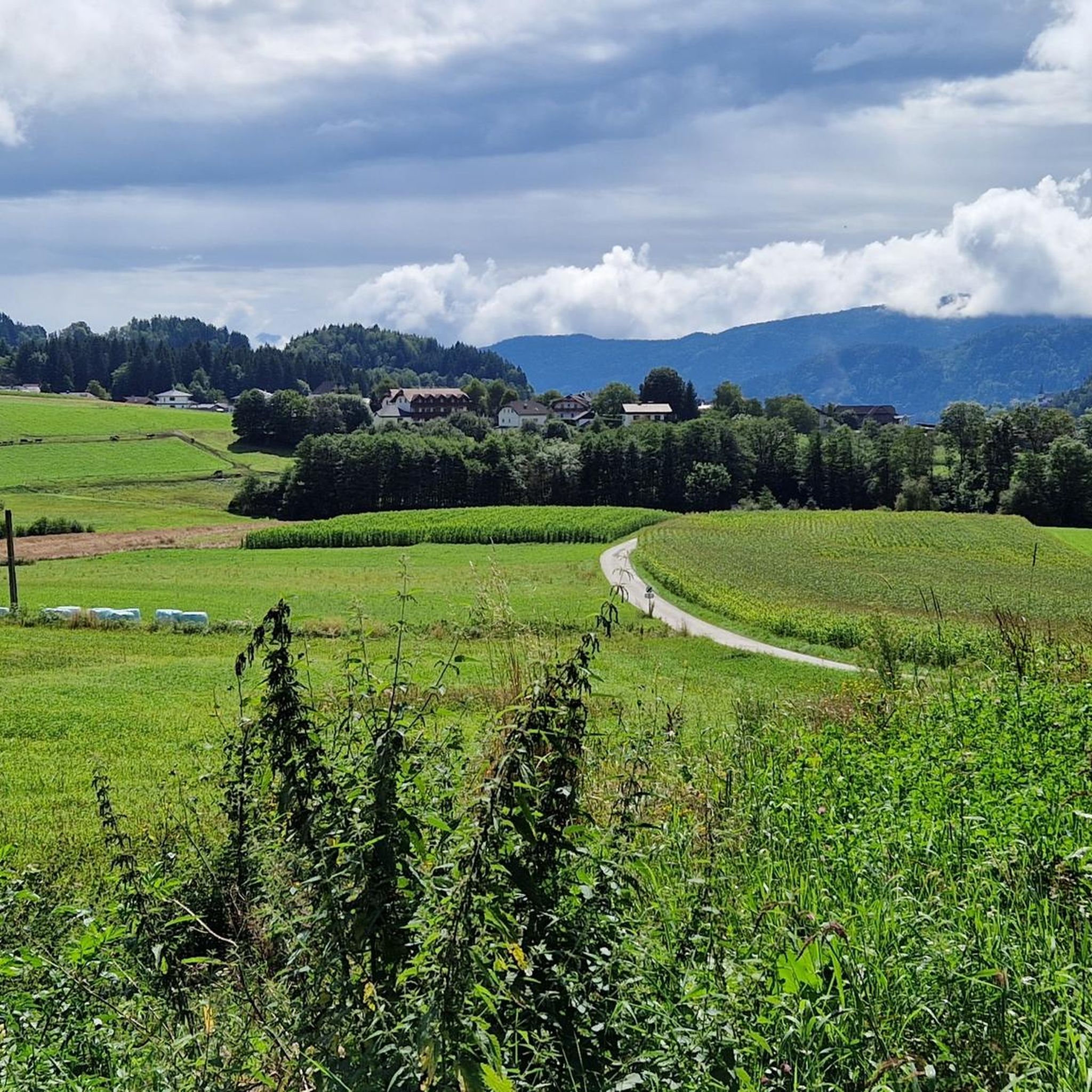
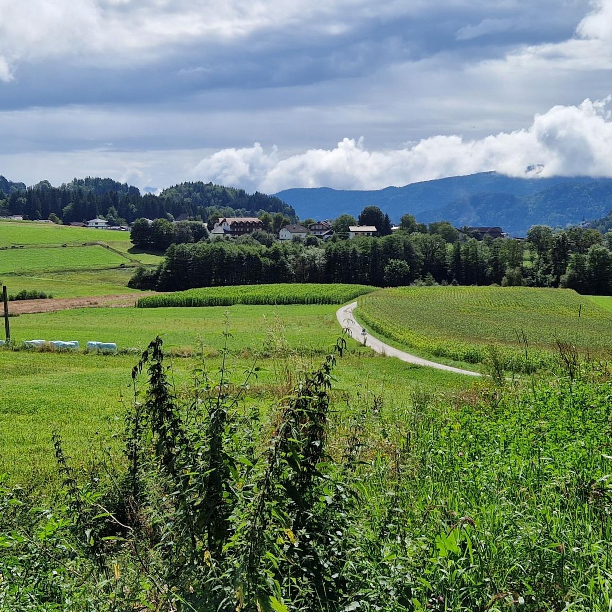
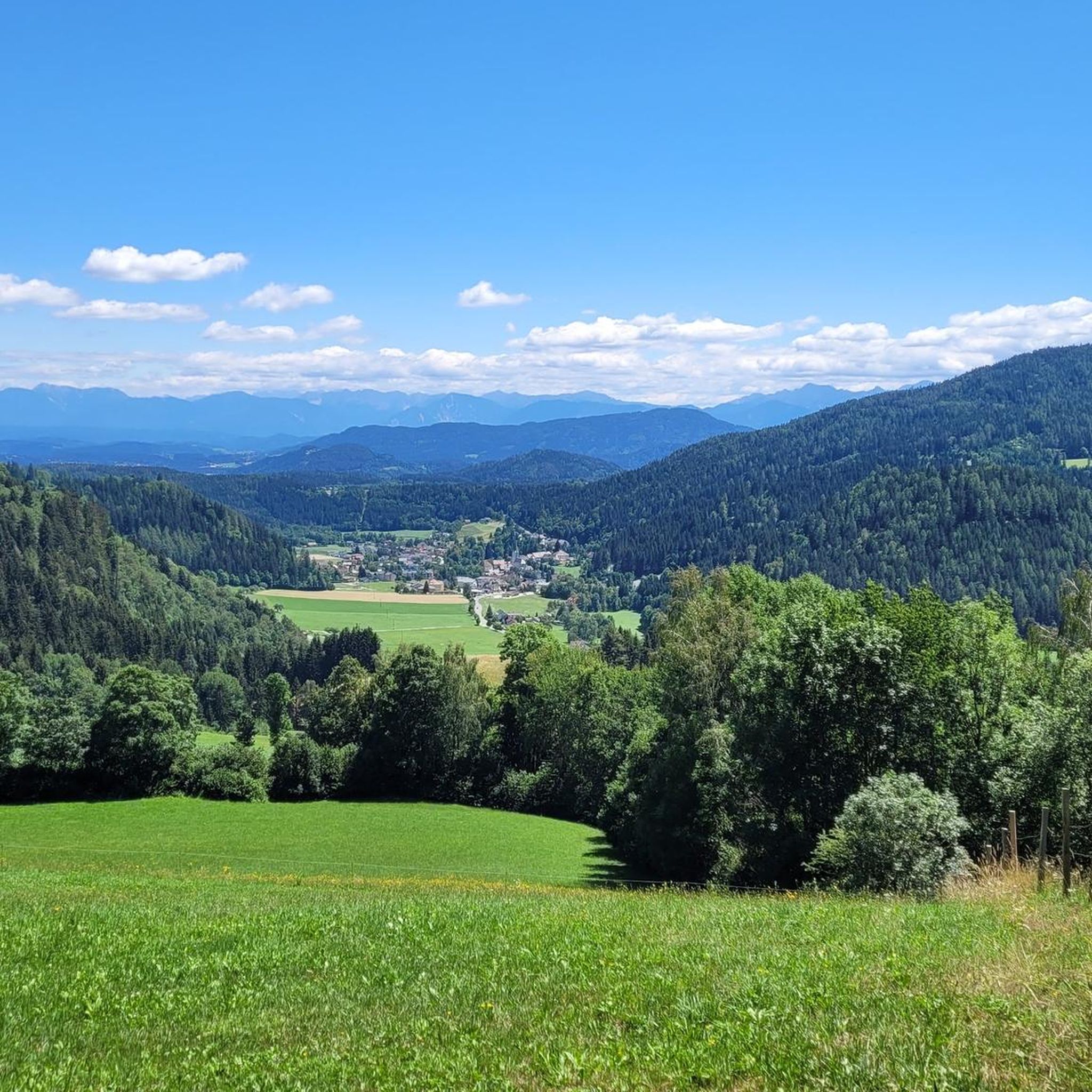

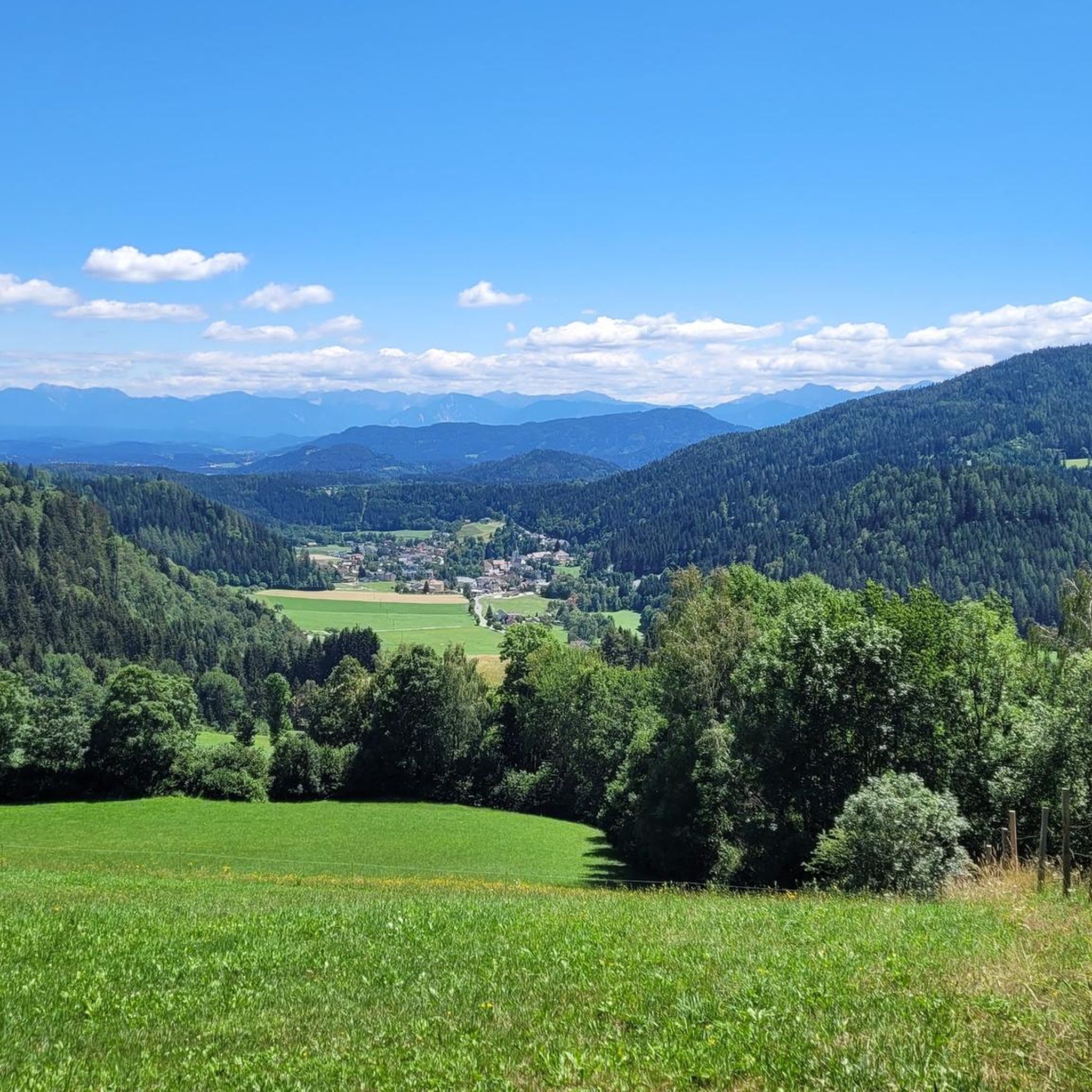
Tips from the Community

The mountain bike tour leads from Villach through the Ossiacher Tauern mountains along secondary roads, cycle paths, and forest trails, offering many wonderful views of the lake and the Landskron Castle ruins. The tour is well signposted and only moderately challenging! From the Tauern Teich, you can head either towards Köstenberg or towards Lake Ossiach!
3
1
The mountain bike tour leads from Villach through the Ossiacher Tauern mountains along secondary roads, cycle paths, and forest trails, offering many wonderful views of the lake and the Landskron Castle ruins. The tour is well signposted and only moderately challenging! From the Tauern pond, you can head either towards Köstenberg or Ossiach!
3
0
…an easily accessible path to the Kanzelhöhe 🥾
2
0

Challenging climb, absolutely not suitable for children and/or dogs. Extremely boring return, dirt road with no view.
0
1
...there's a small pond here where the frogs 🐸 greet you with a concert 🎶 in spring! 🫡
3
0
...culinary highlight on the Gerlitzen! An absolute must!! Unfortunately only open in the winter season!!
3
0

Frequently Asked Questions
What types of mountaineering routes can I find around Himmelberg?
The Himmelberg region offers a diverse range of mountaineering routes, from challenging ascents in the Carinthian Alps to strenuous alpine hikes in the Black Forest. You'll find routes with significant elevation changes, dense forests, and prominent summits offering panoramic views. The area includes both moderate and difficult options, catering to various experience levels.
How many mountaineering routes are available in the Himmelberg area?
There are over 15 mountaineering routes documented around Himmelberg, providing a wide selection for exploration. These routes are highly rated by the komoot community, with an average score of 4.5 stars.
Are there any easier mountaineering routes suitable for beginners?
While many routes are challenging, there are moderate options available. For instance, the Ossiacher See Climbing Forest – Ossiach Tauern Pond loop from Ossiach is a moderate 7.1 km route that takes about 2 hours 29 minutes, offering a good introduction to the region's terrain without extreme difficulty.
What are some of the more challenging mountaineering routes in Himmelberg?
For experienced mountaineers, routes like the Gerlitzen Mountain Area – Huaba Hittn loop from Innerteuchen present a significant challenge. This difficult 16.4 km trail involves substantial elevation gain and takes approximately 5 hours 40 minutes to complete. Another demanding option is the Ossiachberg loop from Annenheim, a difficult 7.6 km path with steep ascents.
What natural attractions can I see along the mountaineering routes?
The Himmelberg region, particularly in Carinthia, Austria, is rich in natural beauty. You can explore the Finsterbach Waterfalls or the Steindorfer Bach Waterfall. The Tiebel Springs, where pure drinking water emerges, also feature a scenic hiking trail. Many routes offer views of the Gerlitzen Summit and Wöllaner Nock Summit.
Are there any notable landmarks or points of interest near the mountaineering trails?
Yes, beyond the natural beauty, you can discover several landmarks. The Gerlitzen Summit and Wöllaner Nock Summit offer stunning panoramic views. You might also encounter the historic Ossiach Abbey or enjoy the Annenheim Lakefront Promenade on Lake Ossiach.
What do other mountaineers enjoy most about the Himmelberg region?
The area is highly rated by the komoot community, with an average score of 4.5 stars from over 6 reviews. Mountaineers often praise the diverse mountain terrain, the challenging ascents, and the rewarding panoramic views from prominent summits like Gerlitzen and Wöllaner Nock.
What is the best time of year for mountaineering in Himmelberg?
The best time for mountaineering typically depends on the specific route and your experience level. Spring and autumn offer pleasant temperatures and vibrant scenery, though some higher routes might still have snow in early spring or see early snowfall in late autumn. Summer provides warmer conditions, while winter mountaineering requires specific gear and expertise due to snow and ice.
Are there any circular mountaineering routes in Himmelberg?
Yes, many of the mountaineering routes in Himmelberg are designed as loops. Examples include the difficult Hüttersteig loop from Skischullift Lodron II, which covers 10.3 km, and the moderate Ossiacher See Climbing Forest – Ossiach Tauern Pond loop from Ossiach.
Is public transport available to access mountaineering trails in Himmelberg?
While specific public transport details for every trailhead are not provided, the Himmelberg region in Carinthia, Austria, is generally accessible. For detailed information on bus schedules or train connections to specific starting points, it's advisable to check local public transport websites or tourist information for the Gurk Valley area.
Are dogs allowed on the mountaineering trails in Himmelberg?
Regulations regarding dogs on trails can vary by specific area or nature reserve. Generally, dogs are welcome on many trails in the Austrian Alps, but they should be kept on a leash, especially in areas with livestock or wildlife. Always check local signage or contact the regional tourism office for specific regulations on the route you plan to take.
Where can I find information about parking for mountaineering routes?
Parking availability varies by trailhead. Many popular starting points for mountaineering routes, especially near ski lifts or villages like Annenheim or Innerteuchen, typically offer designated parking areas. It's recommended to check the specific route details on komoot or local maps for parking information near your chosen starting point.
Most popular routes around Himmelberg
Most popular attractions around Himmelberg

Get inspired with the komoot mobile app


Explore more
Browse the best Mountain Hikes & Routes in other regions.
