The best road cycling routes around Warningcamp
4.4
(112)
5,130
riders
221
rides
Road cycling routes around Warningcamp offer varied terrain within the South Downs National Park. The area features a landscape that rises from 2 meters at the River Arun to 68 meters along its northern edge, providing diverse gradients. Much of the southeast corner of Warningcamp parish is covered in woodland, contributing to scenic routes. The region is characterized by rolling chalk hills, river valleys, and ancient woodlands, with generally smooth road surfaces suitable for road bikes.
Best road cycling routes…
Last updated: July 4, 2026
5.0
(2)
21
riders
45.9km
02:23
490m
490m
Moderate road ride. Good fitness required. Mostly well-paved surfaces and easy to ride.
5.0
(2)
15
riders
44.9km
02:14
480m
480m
Moderate road ride. Good fitness required. Mostly well-paved surfaces and easy to ride.

Sign up for free
13
riders
70.5km
03:21
810m
810m
Cycle a moderate 43.8-mile loop from Amberley through the South Downs National Park, featuring rolling hills, villages, and scenic viewpoint
7
riders
81.0km
03:34
580m
580m
Cycle the Kirdford and Bignor loop from Amberley, a moderate 50.4-mile road ride through the South Downs National Park.
6
riders
62.5km
03:07
630m
630m
Moderate road ride. Good fitness required. Mostly well-paved surfaces and easy to ride.
Get access to more routes and recommendations from other explorers.
Sign up for free
Already have an account?
Our route recommendations are based on thousands of hikes, rides, and runs completed by other people on komoot.
Start today with a free account
Your next adventure awaits.
Login or Signup
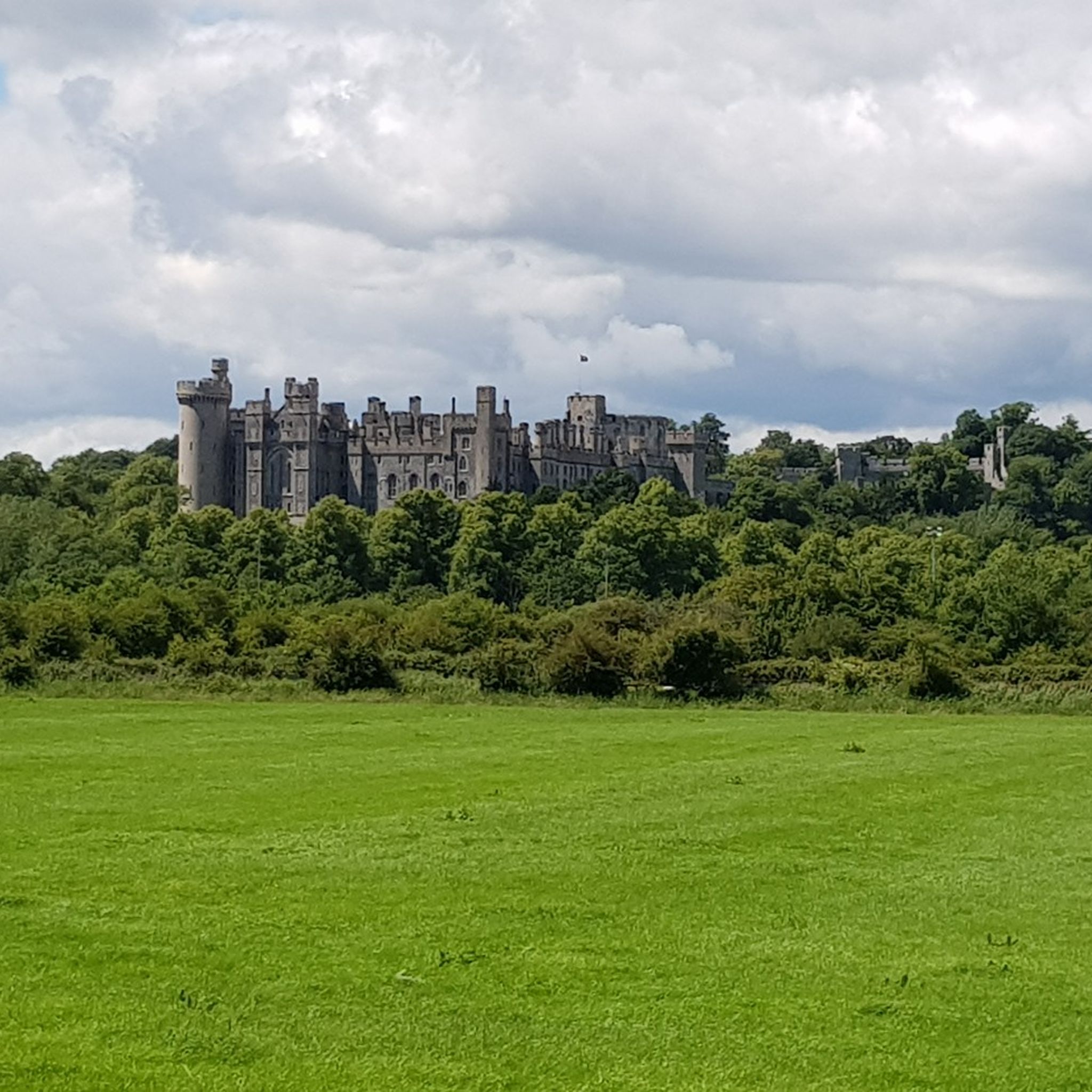
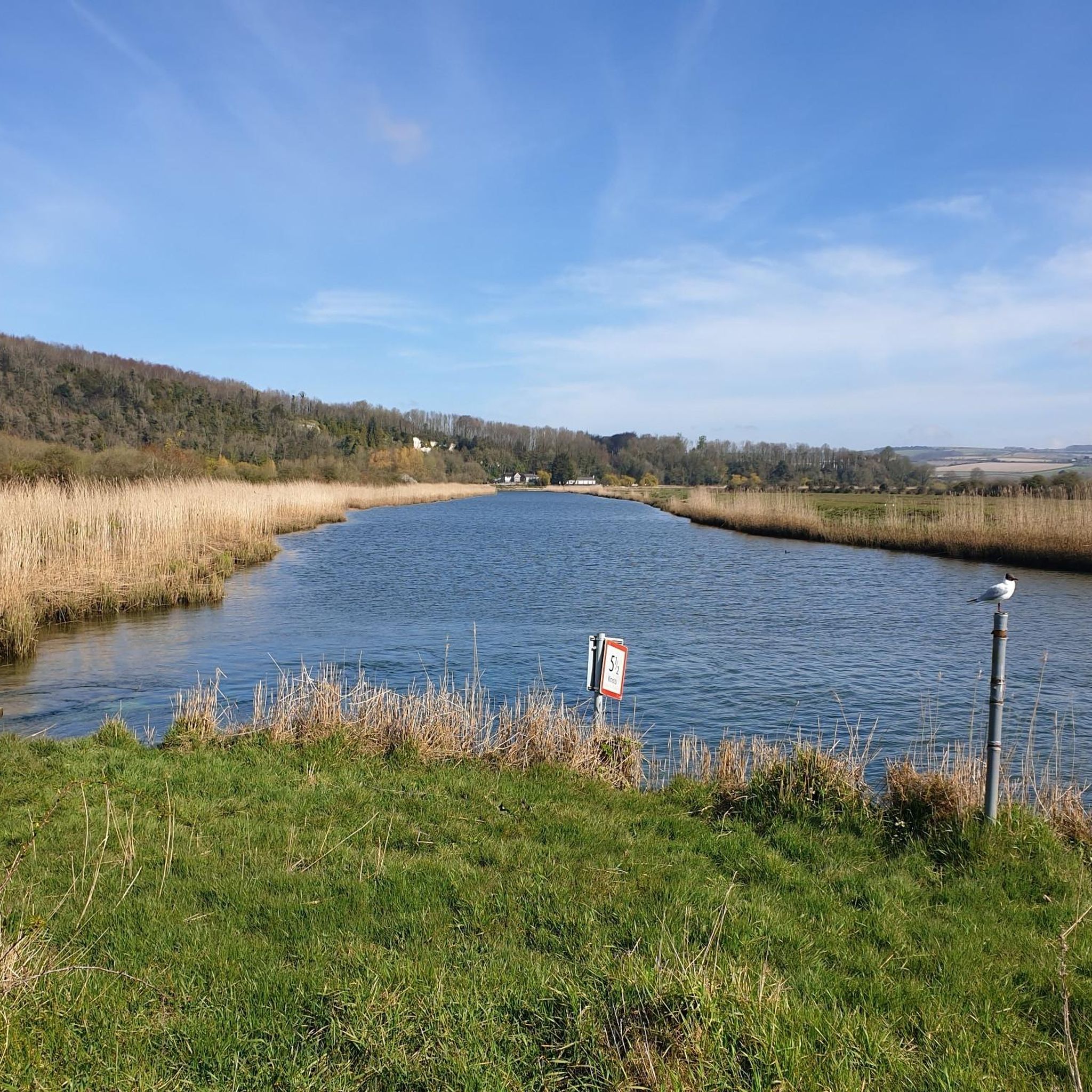
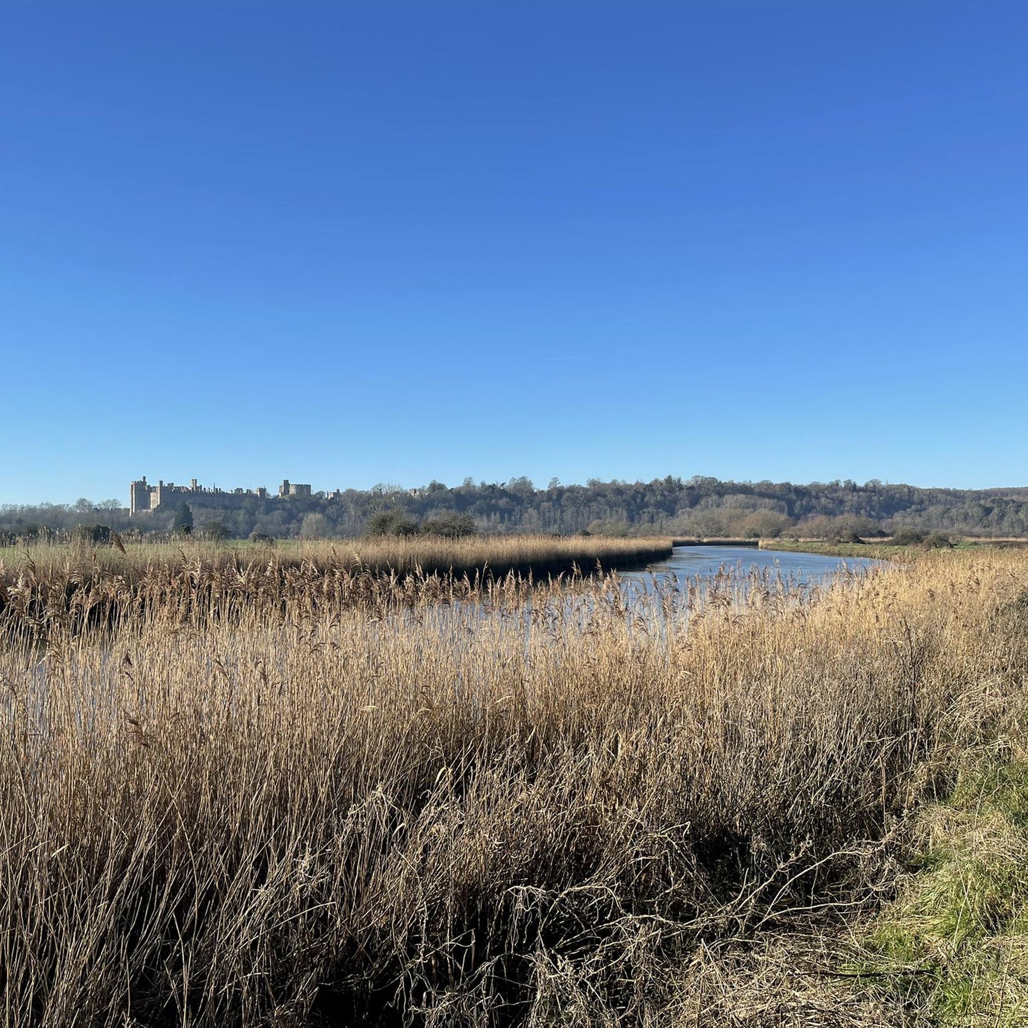

Tips from the Community

12% climb out of East Dean with the reward of a great descent down to Goodwood
0
0


The Wey and Arun Canal, finished in 1816, established a crucial link between the Wey Navigation near Guildford and the south coast via the River Arun. This canal played a pivotal role in the inland transportation network designed to ensure secure passage from London to Portsmouth, facilitating the transportation of goods to sustain the dockyards during the Napoleonic Wars. Despite its initial success in efficiently transporting a substantial volume of cargo, the advent of railways ultimately led to the formal closure of the canal in 1871.
1
0
Burton Mill Pond is part of the Burton Mill and Chingford Ponds Local Nature Reserve (LNR). Originating in the late 16th century to fuel a forge, the pond has a historical past. By the late 18th century, it played a vital role as part of a water mill for grinding corn, with the imposing structure by the road now standing as the remnants of the old mill. It's part of a fabulous landscape as you cycle along the road bordering its northeastern shore.
0
0
Nestled on the outskirts of Chichester, between the villages of Singleton and Upwaltham, the pretty village of East Dean lies in the scenic Upper Lavant Valley of the South Downs. This quaint settlement, steeped in history with traces of Celtic fields and Roman artifacts, has a timeless charm. It features a pond on the village green and a distinctive flint-walled pub called The Star and Garter. Surprisingly, despite its small size, East Dean proudly hosts a football team, a local institution founded over 130 years ago, competing in the West Sussex league.
0
0
This is a lovely stretch of road cutting through a tree-lined avenue on Warren Down. The road is completely straight until a steep s-shaped bend, just north of West Dean.
0
0
Lurgashall is known for its quintessential English village charm, with its triangular village green hosting cricket games, country pub and white fingerpost signs. It has a population of around 600 people.
0
0
The Three Moles in a traditional cycle-friendly country pub set in a scenic location. It has dedicated cycle parking area covered by 24 hour CCTV. The pub also has puncture repair kits and offers refills for water bottles.
0
0
Frequently Asked Questions
How many road cycling routes are available around Warningcamp?
There are over 230 road cycling routes around Warningcamp, offering a wide variety of options. These include 89 easy routes, 137 moderate routes, and 5 more challenging routes, catering to different skill levels and preferences.
What kind of terrain can I expect on road cycling routes in Warningcamp?
Road cycling in Warningcamp offers a diverse terrain, characterized by the rolling chalk hills and expansive downland of the South Downs National Park. You'll find a mix of gentle rolling lanes and more challenging climbs, with elevations ranging from 2 meters near the River Arun to 68 meters along the northern edge of the parish. Most routes feature mostly paved surfaces, ideal for road bikes.
Are there any long-distance road cycling routes from Warningcamp?
Yes, for those seeking longer rides, routes like the Fernhurst and Midhurst loop from Amberley cover over 100 km (62 miles) with significant elevation gains, providing a substantial challenge and extended exploration of the South Downs countryside.
What are some popular circular road cycling routes in the area?
Many routes around Warningcamp are circular, allowing you to start and end in the same location. Popular options include the Amberley, Petworth and Waltham Brooks loop – South Downs National Park (45.9 km) and the Midhurst and East Dean loop from Amberley (70.5 km), both offering scenic loops through the region.
What historical or natural landmarks can I see while cycling near Warningcamp?
The routes around Warningcamp pass by several notable landmarks. You can cycle near the historic town of Arundel, often catching views of Arundel Castle. Other points of interest include the ancient Iron Age hillforts of Chanctonbury Ring hillfort and Cissbury Ring Hill Fort, as well as Hiorne Tower, a 19th-century lookout point offering excellent views.
Are there routes suitable for advanced road cyclists looking for a challenge?
Yes, while many routes are moderate, the region's hilly terrain provides opportunities for advanced cyclists. Routes like the Midhurst and East Dean loop from Amberley feature over 800 meters of elevation gain, and the Fernhurst and Midhurst loop from Amberley climbs nearly 900 meters, offering a good workout for experienced riders.
What do other road cyclists say about the routes in Warningcamp?
The road cycling routes around Warningcamp are highly regarded by the komoot community, with an average rating of 4.5 stars from over 100 reviews. Cyclists often praise the varied terrain, the picturesque landscapes of the South Downs National Park, and the generally well-paved surfaces that make for an enjoyable ride.
Are there any viewpoints along the road cycling routes?
Yes, the rolling hills provide numerous scenic viewpoints. You can find excellent vistas from spots like Chantry Hill and Kithurst Hill Trig Point. Additionally, Bignor Hill offers far-reaching views across the countryside.
What are the road conditions like on the routes?
Most road cycling routes in Warningcamp are on quiet country lanes with mostly well-paved surfaces, making them suitable for road bikes. However, cyclists should be aware that some sections near Arundel, particularly around the town center, can have narrow roads and busier traffic. The 'Ford Road' out of Arundel is flat but can be fast and potentially dangerous due to a lack of dedicated cycling infrastructure.
Can I find routes that pass through rural villages?
Absolutely. Many routes are designed to take you through charming rural villages, allowing you to experience the local character of the South Downs. For example, the Petworth and Fittleworth loop from Amberley passes through several such villages, offering opportunities for a break or to explore.
What is the average duration for a road cycling tour in Warningcamp?
The duration of road cycling tours varies significantly based on distance and elevation. Moderate routes like the Amberley, Petworth and Waltham Brooks loop typically take around 2 hours 20 minutes, while longer routes such as the Kirdford and Bignor loop from Amberley can take over 3 hours 30 minutes to complete.
Most popular attractions around Warningcamp

Get inspired with the komoot mobile app


Explore more
Browse the best Road cycling routes in other regions.
