The best running trails in the Bey Mountains
41
runners
4
runs
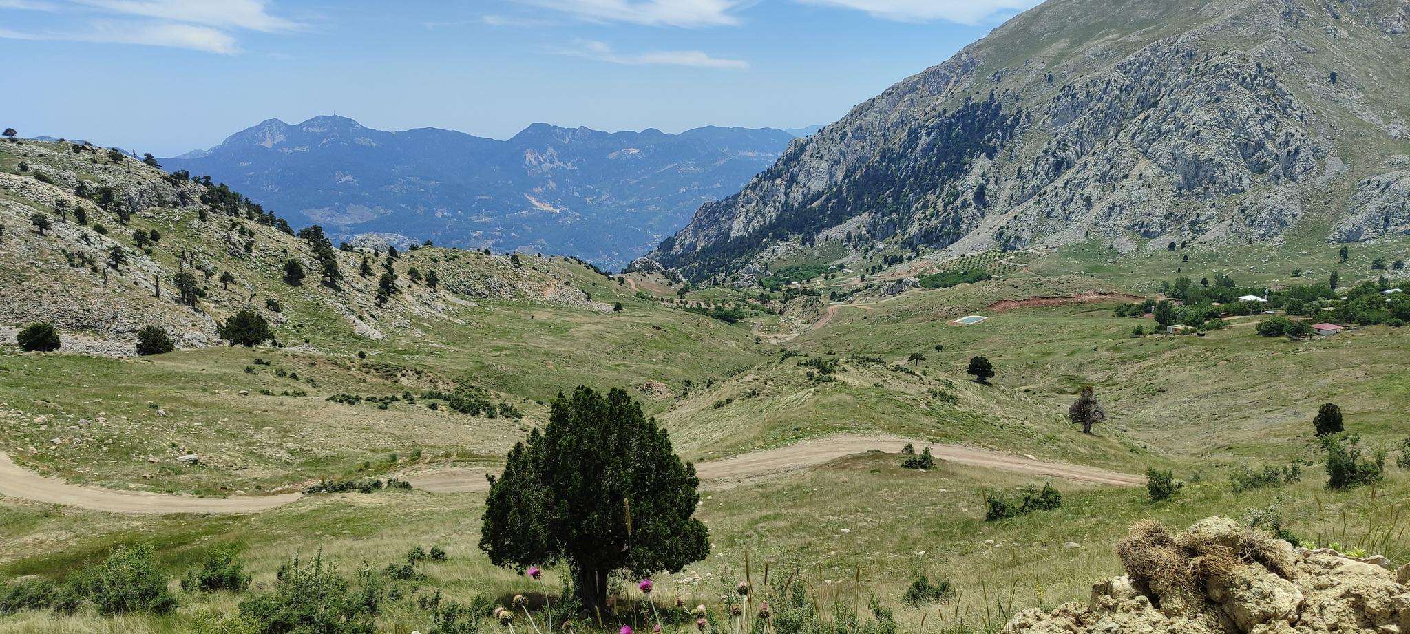
Jogging in the Bey Mountains, part of the western Taurus Mountains in Antalya Province, Turkey, offers diverse landscapes for runners. The region is characterized by mountainous terrain with altitudes up to 3086 meters, featuring lush forests of pine, deciduous, and cedar trees. Joggers can experience a blend of high-altitude trails and coastal proximity, with dramatic canyons and gorges like Goynuk Canyon providing varied backdrops. The area also includes rolling hills and uplands, offering a range of inclines and scenic views.
…Last updated: August 21, 2026
17
runners
8.56km
01:13
380m
380m
Hard run. Very good fitness required. Sure-footedness, sturdy shoes and alpine experience required.
9
runners
8.97km
01:08
370m
380m
Hard run. Very good fitness required. Mostly paved surfaces. Suitable for all skill levels.

Sign up for free
5
runners
9.22km
01:09
110m
110m
Moderate run. Good fitness required. Mostly paved surfaces. Suitable for all skill levels.
Our route recommendations are based on thousands of hikes, rides, and runs completed by other people on komoot.
Start today with a free account
Your next adventure awaits.
Login or Signup
Popular around Bey Mountains
Frequently Asked Questions
Where are the Bey Mountains located and what makes them unique for running?
The Bey Mountains are a prominent range within the Antalya Province of Turkey, forming part of the western Taurus Mountains. They offer a unique blend of coastal proximity and high-altitude terrain, with snow-capped peaks often visible from the Mediterranean Sea. This diverse landscape, featuring lush forests, dramatic canyons, and ancient historical sites, provides a compelling and varied environment for runners.
What kind of terrain can I expect on running trails in the Bey Mountains?
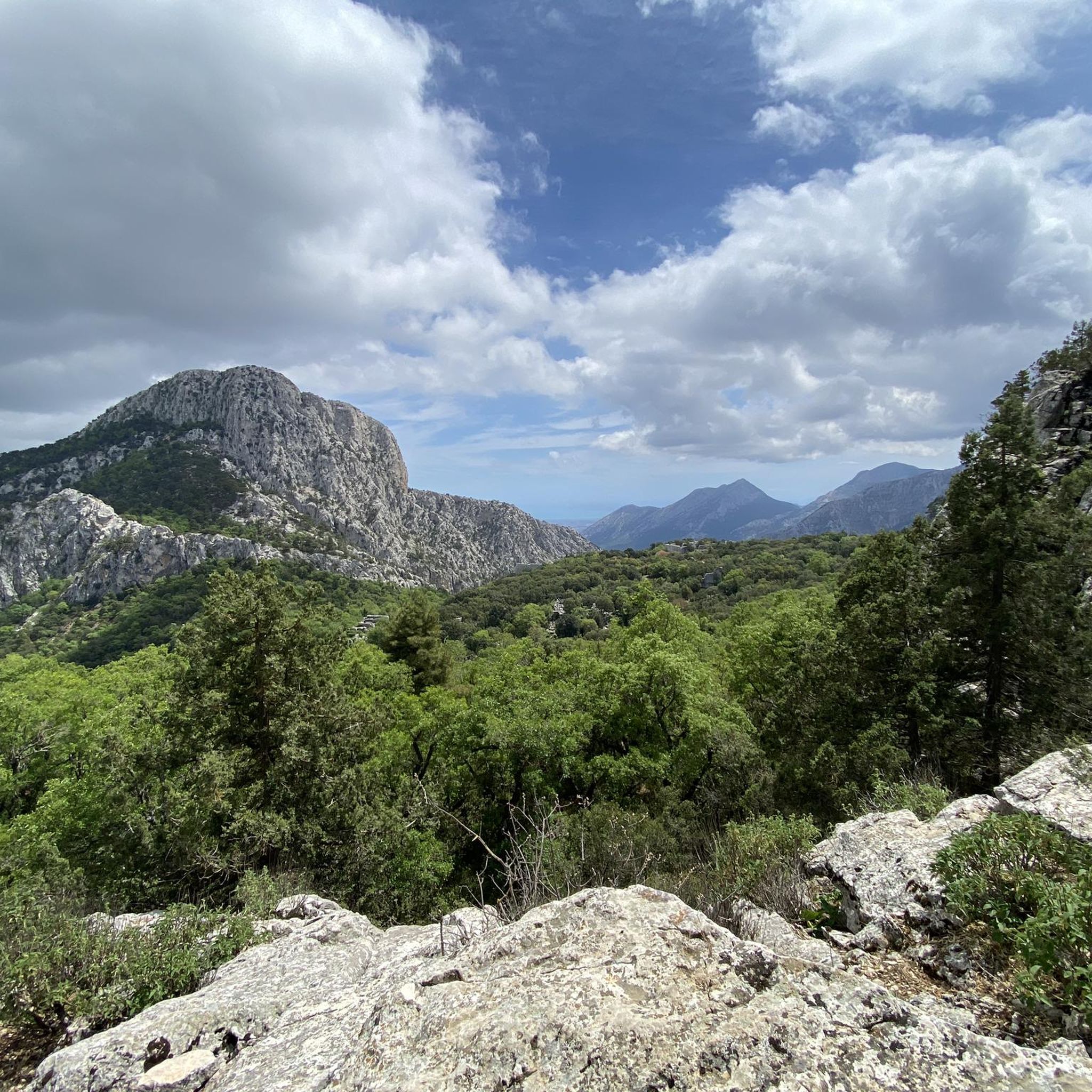
Runners in the Bey Mountains can expect a wide variety of terrain. The region features significant elevation changes, with altitudes ranging from 600 to over 3000 meters. Trails often wind through lush forests of pine, deciduous, and cedar trees, and you'll encounter rolling hills, uplands, and dramatic geomorphological formations like Goynuk Canyon. This provides options for both challenging trail runs and more moderate routes.
Are there running routes suitable for beginners or those looking for an easier run?
While many routes in the Bey Mountains offer a challenge, there are options for varying ability levels. The guide includes routes like the Running loop from Düzlerçamı, which is rated as moderate. This 5.7-mile (9.2 km) trail leads through forested areas and has less elevation gain compared to some of the more difficult options, making it a good choice for those seeking a less strenuous experience.
What are some challenging running trails in the Bey Mountains?
For experienced runners seeking a challenge, the Bey Mountains offer several difficult routes with significant elevation gain. Examples include the Running loop from Trebenna, a 5.3-mile (8.6 km) trail with substantial climbing, and the Old Church / antik kilise loop from Trebenna, a difficult 5.6-mile (9.0 km) path winding through varied and historical terrain.
Can I combine my run with exploring historical sites in the Bey Mountains?
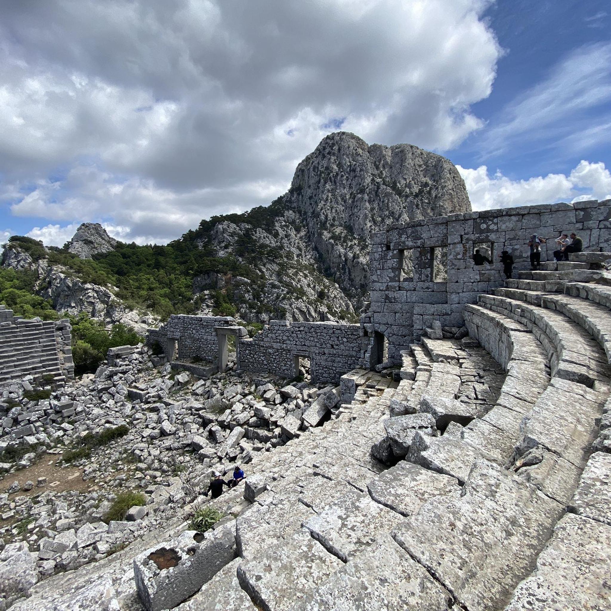
Absolutely! The Bey Mountains are rich in history. Many running routes, especially within the Olympos Bey Mountains Coast National Park, pass by or lead to ancient ruins. You can explore sites like the Odeon at Termessos, the Ancient Theatre of Termessos, or the Ancient Gymnasium of Güllük Dağı National Park, turning your run into a journey through time.
Are there any long-distance running opportunities, such as sections of the Lycian Way?
Yes, approximately half of the 760-kilometer Lycian Way, a world-renowned long-distance footpath, traverses the Bey Mountains. This trail offers exceptional opportunities for trail runners looking for extended distances, combining breathtaking coastal and mountain views with historical sites. While specific running sections are not detailed in this guide, the Lycian Way is a significant feature of the region for long-distance enthusiasts.
What is the best time of year to go running in the Bey Mountains?
The Bey Mountains offer diverse conditions throughout the year. For most runners, spring and autumn provide the most pleasant temperatures for exploring the trails. Summers can be hot, especially at lower elevations, though higher-altitude routes might offer cooler conditions. Winters can bring snow to the higher peaks, offering a different kind of challenge for those prepared for cold weather running.
Are there any circular running routes available?
Yes, several routes in the Bey Mountains are designed as loops, allowing you to start and finish at the same point. Examples from this guide include the Running loop from Trebenna, the Old Church / antik kilise loop from Trebenna, and the Running loop from Düzlerçamı. These circular paths are convenient for planning your run.
What kind of wildlife might I encounter while running in the Bey Mountains?
The Bey Mountains are known for their rich biodiversity. The region is home to diverse wildlife, including wild mountain goats, imperial eagles, bobcats, caracals, and wolves. While sightings are not guaranteed, running through these natural landscapes offers a chance to experience the area's vibrant ecosystem. Always be aware of your surroundings and respect the natural habitat.
Are there any specific regulations or permits needed for running in the Olympos Bey Mountains Coast National Park?
The Olympos Bey Mountains Coast National Park encompasses a significant portion of the range. While general access for activities like running is usually permitted, it's always advisable to check for any specific regulations regarding permits, especially for certain areas or activities. For detailed information, you can consult the official national parks website: nationalparksofturkey.com.
Are there options for public transport or parking near the running trails?
Access to the Bey Mountains can vary depending on the specific trailhead. While some areas might be accessible by local public transport from nearby towns like Antalya or Kemer, having a car often provides more flexibility for reaching trailheads, especially for routes deeper within the mountains. Parking availability will depend on the specific starting point of your chosen route.
What are some notable natural features to look out for on a run?
Beyond the stunning mountain views, the Bey Mountains boast impressive natural features. Keep an eye out for the dramatic geomorphological formations like Goynuk Canyon, Kesme Bosporus, and Beldibi Canyon. The region is also botanically rich, with over 2,000 plant species, many of which are endemic, adding to the scenic beauty of your run.
Most popular attractions in the Bey Mountains

Get inspired with the komoot mobile app


Explore more
Browse the best Running Trails & Routes in other regions.
