The best MTB trails around Water Orton
4.7
(27)
75
riders
9
rides
Mountain biking around Water Orton provides access to a network of trails primarily along canal systems and through green spaces. The region features waterside paths and mixed terrain, offering varied off-road cycling routes. These routes often follow the Birmingham and Fazeley Canal and other waterways, connecting natural areas and local reserves. The terrain generally includes flat canal towpaths and some gently rolling sections.
Best mountain bike trails around Water Orton
- The most popular mountain bike trail is Birmingham and Fazeley…
Last updated: June 26, 2026
3.5
(2)
5
riders
Moderate mountain bike ride. Good fitness required. Suitable for all skill levels.
4
riders
33.8km
02:02
260m
260m
Moderate mountain bike ride. Good fitness required. Suitable for all skill levels.

Sign up for free
4.5
(2)
6
riders
Moderate mountain bike ride. Good fitness required. Suitable for all skill levels.
3
riders
22.4km
01:15
120m
120m
Easy mountain bike ride. Great for any fitness level. Suitable for all skill levels.
4.0
(2)
6
riders
Moderate mountain bike ride. Good fitness required. Suitable for all skill levels.
Get access to more routes and recommendations from other explorers.
Sign up for free
Already have an account?
Our route recommendations are based on thousands of hikes, rides, and runs completed by other people on komoot.
Start today with a free account
Your next adventure awaits.
Login or Signup
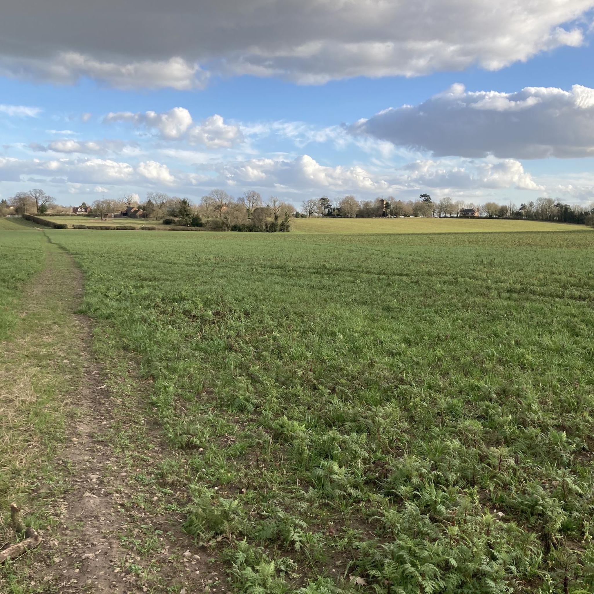
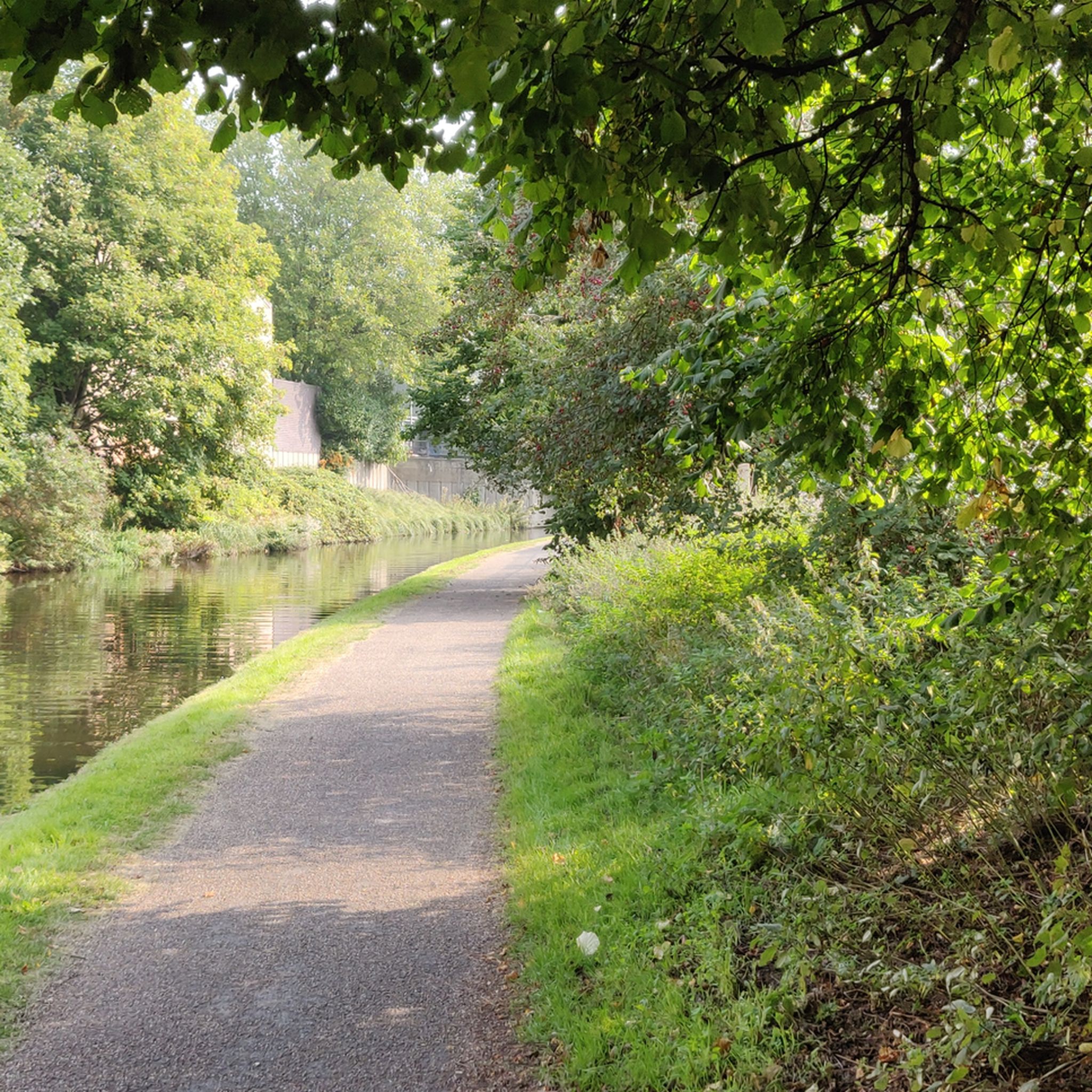
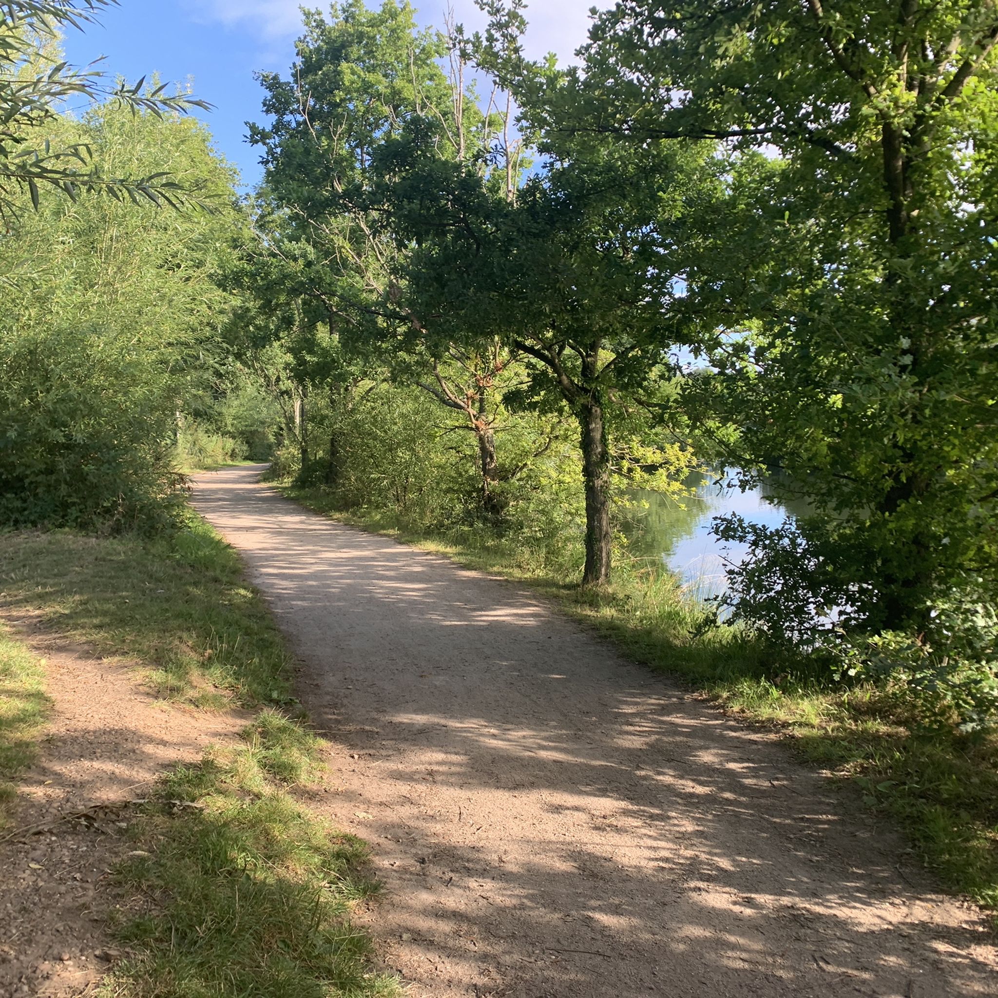
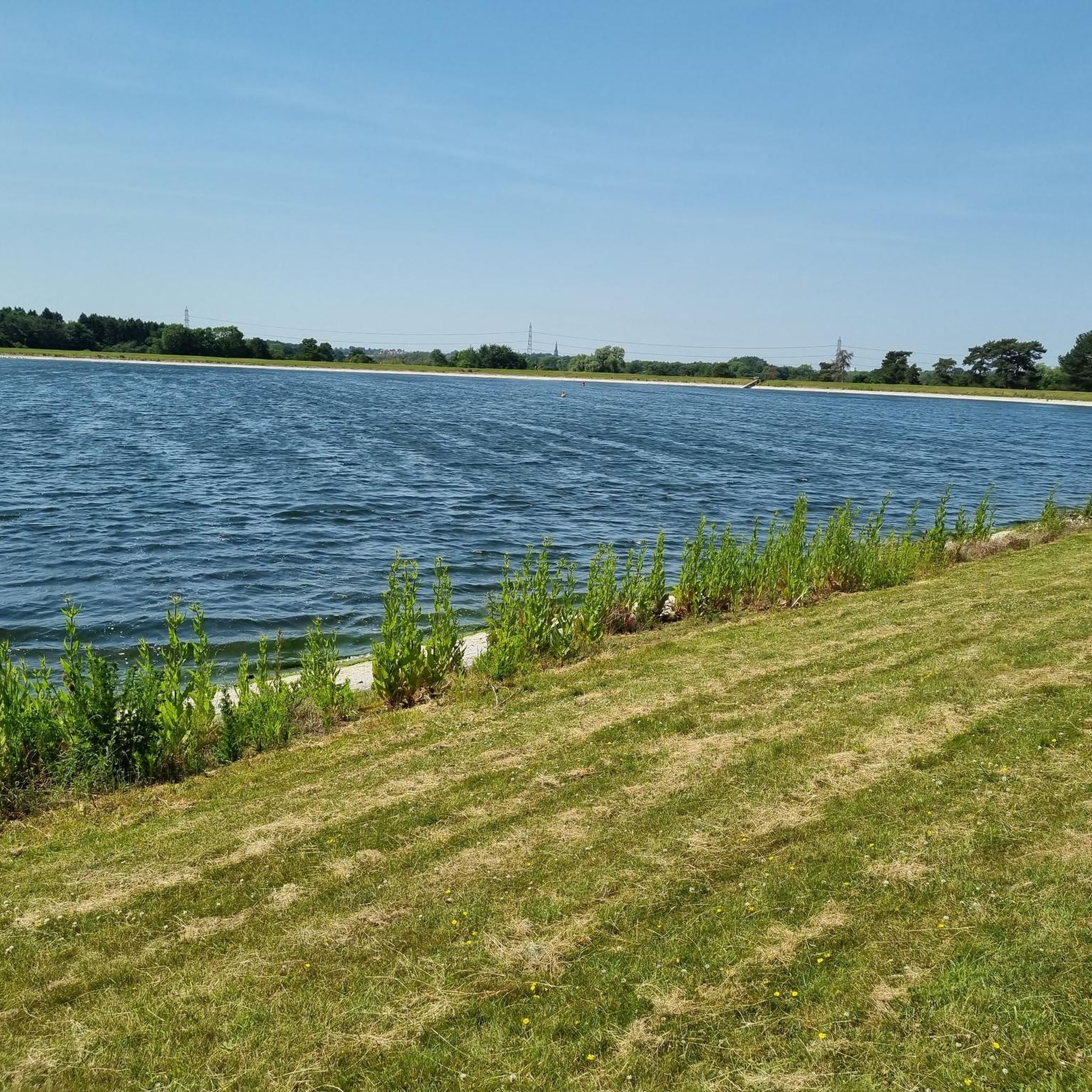

Tips from the Community


Popular junction of the Coventry canal which passes over the river Tame just past the junction.. Travel towards Birmingham and you will pass the famous white swing bridge near Drayton Bassett and Drayton Manor. Walk along the canal to Middleton lakes RSPB site, Middleton Hall and Kingsbury water park.
0
0


It's nice to look at and walk over but the spiral stairs up and down are a nightmare to get bikes up and down.
0
0

An RSPB nature reserve in the Tame Valley. Mainly focused on wetland birds but there is also meadow, woodland and farmland areas. Can get muddy and wet so appropriate footwear is important.
1
0

This church dates from the 15th century. There are nice cafes around (within a few hundred-meter distance) of this church. Nice place to take a short break.
0
0

Can get busy when park run events are on so slow down on main paths
0
0
Frequently Asked Questions
How many mountain bike trails are available around Water Orton?
Komoot lists 9 dedicated mountain bike trails around Water Orton. These routes primarily follow canal systems and green spaces, offering varied off-road cycling experiences.
What kind of terrain can I expect on mountain bike trails near Water Orton?
The terrain around Water Orton is characterized by waterside paths along the Birmingham and Fazeley Canal, as well as routes through local nature reserves and green corridors. You'll find a mix of flat canal towpaths and some gently rolling sections, making for diverse riding.
Are there any easy mountain bike trails suitable for beginners in Water Orton?
Yes, there are 4 easy mountain bike trails around Water Orton. An example is the NCR 534 at Pype Hayes Park – Longmoor Pool loop from Sutton Coldfield, which is 13.9 miles (22.3 km) long and takes about 1 hour 15 minutes to complete.
Are there any family-friendly mountain bike routes in Water Orton?
Many of the trails along the canal paths and through green spaces are suitable for families, especially the easier routes. These paths often provide a safe and scenic environment away from traffic, ideal for a family outing.
Can I bring my dog on the mountain bike trails around Water Orton?
Many of the canal paths and green spaces around Water Orton are dog-friendly, but it's always best to keep your dog on a lead, especially near water, wildlife, or other trail users. Check specific route details on komoot for any local restrictions.
Are there any circular mountain bike routes available?
Yes, many of the mountain bike trails around Water Orton are designed as loops. For instance, the Birmingham and Fazeley Canal – Drayton Gothic Footbridge loop from Wylde Green is a popular circular route, covering 27.2 miles (43.7 km).
What are some interesting landmarks or natural features I can see along the trails?
While riding, you can explore various natural and historical features. Highlights include Little Bracebridge Pond, Sutton Park, the historic Maxstoke Priory Ruins, and the serene Shustoke Reservoir. Many routes also pass through areas like Plantsbrook Nature Reserve and the Tame Valley Wetlands.
Where can I park when mountain biking in Water Orton?
Parking availability varies by trailhead. Routes often start from accessible points like Wylde Green or Chester Road, which typically have nearby parking options. It's advisable to check the specific starting point of your chosen route for detailed parking information.
What do other mountain bikers enjoy most about the trails in Water Orton?
The mountain bike trails in Water Orton are highly rated by the komoot community, with an average score of 4.6 stars from over 20 reviews. Riders often appreciate the extensive canal-side riding, the mix of natural scenery through green spaces and pools, and the variety of routes suitable for different ability levels.
Are there any longer mountain bike routes for more experienced riders?
Yes, for those looking for a longer ride, the Grand Union Canal Path – Knowle Locks loop from Marston Green is a moderate 25.4 miles (40.8 km) route that can take around 2 hours 29 minutes to complete. This route offers a good distance for experienced riders.
What is the typical elevation gain on mountain bike trails in Water Orton?
The elevation gain on trails around Water Orton is generally moderate, reflecting the gently rolling terrain. For example, the Powell's Pool – Blackroot Pool loop from Chester Road has an elevation gain of about 843 feet (257 meters) over its 21.0 miles (33.8 km) distance.
Are there any mountain bike trails that pass through nature reserves?
Absolutely. The Birmingham and Fazeley Canal – Drayton Gothic Footbridge loop from Plantsbrook Nature Reserve is a great option, leading you through canal paths and directly into nature reserve areas, offering a chance to experience local wildlife and natural settings.
Most popular attractions around Water Orton

Get inspired with the komoot mobile app


Explore more
Browse the best MTB trails in other regions.
