The best walks and hikes around Isle Brewers
4.2
(156)
982
hikers
127
hikes
Hikes around Isle Brewers explore the quiet country lanes and public footpaths of the Somerset Levels. The region is characterized by its gentle, low-lying terrain, with many routes following the path of the River Isle. The landscape is a managed wetland, defined by a network of rhynes and drains that create a distinctive pattern across the moors.
Best hiking trails around Isle Brewers
- The most popular hiking route is Burton Pynsent Monument loop from Curry Rivel, a 3.7 mile (5.9 km) trail that takes about 1 hour 34 minutes to complete. This route leads to the 140-foot monument, which offers an excellent viewpoint over the surrounding countryside.
- Another top favourite among local hiking enthusiasts is View of the Valley loop from Fivehead, an easy 1.9 mile (3.0 km) path. This short hike is suitable for most fitness levels and provides views across the valley.
- Local hiking enthusiasts also love the Burrow Hill Distillery – Burrow Hill loop from Kingsbury Episcopi, a 2.9 mile (4.6 km) trail leading through the local landscape, often completed in about 1 hour 12 minutes.
- Hiking around Isle Brewers is defined by riverside paths, quiet country lanes, and footpaths across the open moors of the Somerset Levels. The network of trails offers accessible options for different ability levels.
- The routes in Isle Brewers are highly rated by the komoot community with an average score of 4.1 stars from over 100 reviews. More than 800 hikers have used komoot to explore Isle Brewers's varied terrain.
Last updated: October 19, 2026
4.8
(5)
8
hikers
5.95km
01:34
60m
60m
Easy hike. Great for any fitness level. Easily-accessible paths. Suitable for all skill levels.
5.0
(1)
9
hikers
2.99km
00:51
60m
60m
Easy hike. Great for any fitness level. Easily-accessible paths. Suitable for all skill levels.

3.0
(1)
8
hikers
4.70km
01:14
40m
40m
Easy hike. Great for any fitness level. Easily-accessible paths. Suitable for all skill levels.
6
hikers
4.99km
01:17
30m
30m
Easy hike. Great for any fitness level. Easily-accessible paths. Suitable for all skill levels.
3.0
(1)
3
hikers
5.79km
01:32
60m
60m
Easy hike. Great for any fitness level. Easily-accessible paths. Suitable for all skill levels.
Get access to more routes and recommendations from other explorers.
Already have an account?
Our route recommendations are based on thousands of hikes, rides, and runs completed by other people on komoot.
Start today with a free account
Your next adventure awaits.

Tips from the Community

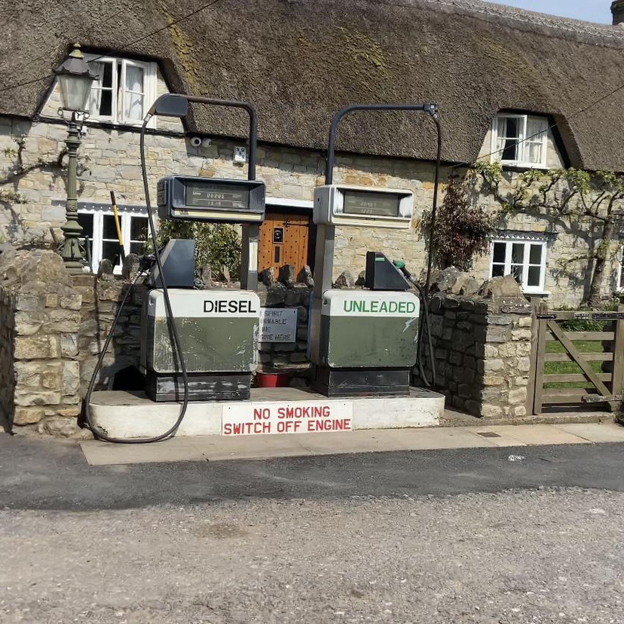
There are a few of these dotted about. The nearest one in Muchelney
0
0
It is being developed into a nature reserve, has a footpath running through it and a couple of benches should you want to take a picnic down there or just sit and enjoy the countryside all around you. The area is left as natural as possible with trees and wild flowers. There are picnic benches.
0
0
The site is mainly used for military helicopter exercises, and there are a large number of lettered helicopter landing spots spread across the site on the taxiways. (Wikipedia)
0
0

Check out the view from the top of the Hill and pop into the cider farm at the bottom
1
0

The 43m high monument was built in 1767 to commemorate Sir William Pynsent, of the Pynsent Baronets. It was designed by Capability Brown for William Pitt. Legend has it that it was for his support on defeating the cider tax and is therefore locally known as the cider monument.
2
0

Closed Sunday in Winter. Easy to shoot past so look left.
0
0

Frequently Asked Questions
Are there many circular walks available around Isle Brewers?
Yes, the area is well-suited for circular walks. Many routes are designed as loops, allowing you to start and end in the same place without retracing your steps. A great example is the HMS Heron Merryfield Airfield – Brook Green loop from Ilton, which offers a pleasant circuit through the local landscape.
Can I take my dog on the hiking trails?
Most public footpaths in the countryside around Isle Brewers are suitable for walking with a dog. However, you will likely cross fields with livestock, so it's essential to keep your dog on a lead. The paths can also be quite muddy, especially after rain, so be prepared.
Are there any family-friendly hikes in the area?
Definitely. The terrain around Isle Brewers is generally flat and gentle, making it ideal for families. There are many shorter, easy walks available. For a walk that combines nature with a point of interest, consider the Barrington Court loop from Barrington, which is a manageable distance for little legs.
What are the trail conditions like? Should I expect mud?
The region is part of the Somerset Levels, a low-lying wetland area. While beautiful, this means that paths, particularly those near the River Isle or across the moors, can become very muddy and are sometimes prone to flooding, especially during the wetter months. It's always a good idea to wear waterproof hiking boots.
Where can I find good views while hiking near Isle Brewers?
For some of the best panoramic views, head to Burrow Hill. Often called the 'mini Glastonbury Tor,' its summit provides stunning 360° vistas across the Somerset Levels. Several trails lead up and around the hill, rewarding you with expansive scenery.
Are there any long-distance footpaths that pass through the area?
Yes, the River Parrett Trail, a 50-mile scenic walk, passes near Isle Brewers. You can join a section of the trail for a longer day of hiking, allowing you to explore the distinctive landscape of the Levels through orchards, woods, and along waterways.
What do other hikers think of the trails around Isle Brewers?
The trails are well-regarded by the komoot community, with an average rating of over 4 stars. Hikers often praise the peacefulness of the quiet country lanes and the unique scenery of the Somerset Levels, with its network of rhynes and drains.
Where can I find parking for the walks?
Many walks start from the surrounding villages like Curry Rivel, Fivehead, or Kingsbury Episcopi, which typically offer on-street parking. For specific attractions like Burrow Hill or Castle Neroche, there are often designated small parking areas. It's best to arrive early as spaces can be limited.
Are there any pub walks in the region?
Yes, many routes can be planned to start or finish near a traditional village pub. The villages of Curry Rivel, Fivehead, and Kingsbury Episcopi all have pubs that are popular with walkers. This allows you to easily combine a scenic hike with refreshments afterwards.
What kind of wildlife might I see?
The Somerset Levels are a haven for biodiversity, especially birdlife. As you walk along the River Isle and the network of drains, keep an eye out for various water birds and waders. The quiet lanes and hedgerows also support a variety of farmland birds and other wildlife.
Are there any historical sites I can see on a walk?
The area is rich in history. You can follow the Isle Brewers Heritage Trail to see the old flour mill and All Saints Church. For a more dramatic historical site, you can hike to Castle Neroche, an Iron Age hill fort with impressive earthworks and views, managed by Forestry England.
How many hiking trails are there to choose from?
There is a wide variety of options, with over 130 designated routes around Isle Brewers. The vast majority of these are rated as easy, making the area very accessible, but there are also around 40 moderate trails for those seeking a bit more of a challenge.
Most popular attractions around Isle Brewers

Get inspired with the komoot mobile app


Explore more
Browse the best Hikes in other regions.
